

Interactive map
Explore Brazil by region
Click on a region to learn more
Rio de Janeiro · São Paulo · Minas Gerais · Espírito Santo
Southeast: Rio, São Paulo and the colonial interior
The Southeast is where most Brazil trips begin. Rio and São Paulo are the two gateways almost every international flight lands in. Within a few hours of either, you can reach a colonial cobblestone street, a rainforest island, or a beach most Brazilians would rather keep to themselves.
- How long to stay
- Seven to ten nights covers Rio, the Costa Verde and one inland stop without rushing.
- Good for
- First-time visitors, city-and-beach trips, food and culture, and travelers who want to avoid long internal flights.

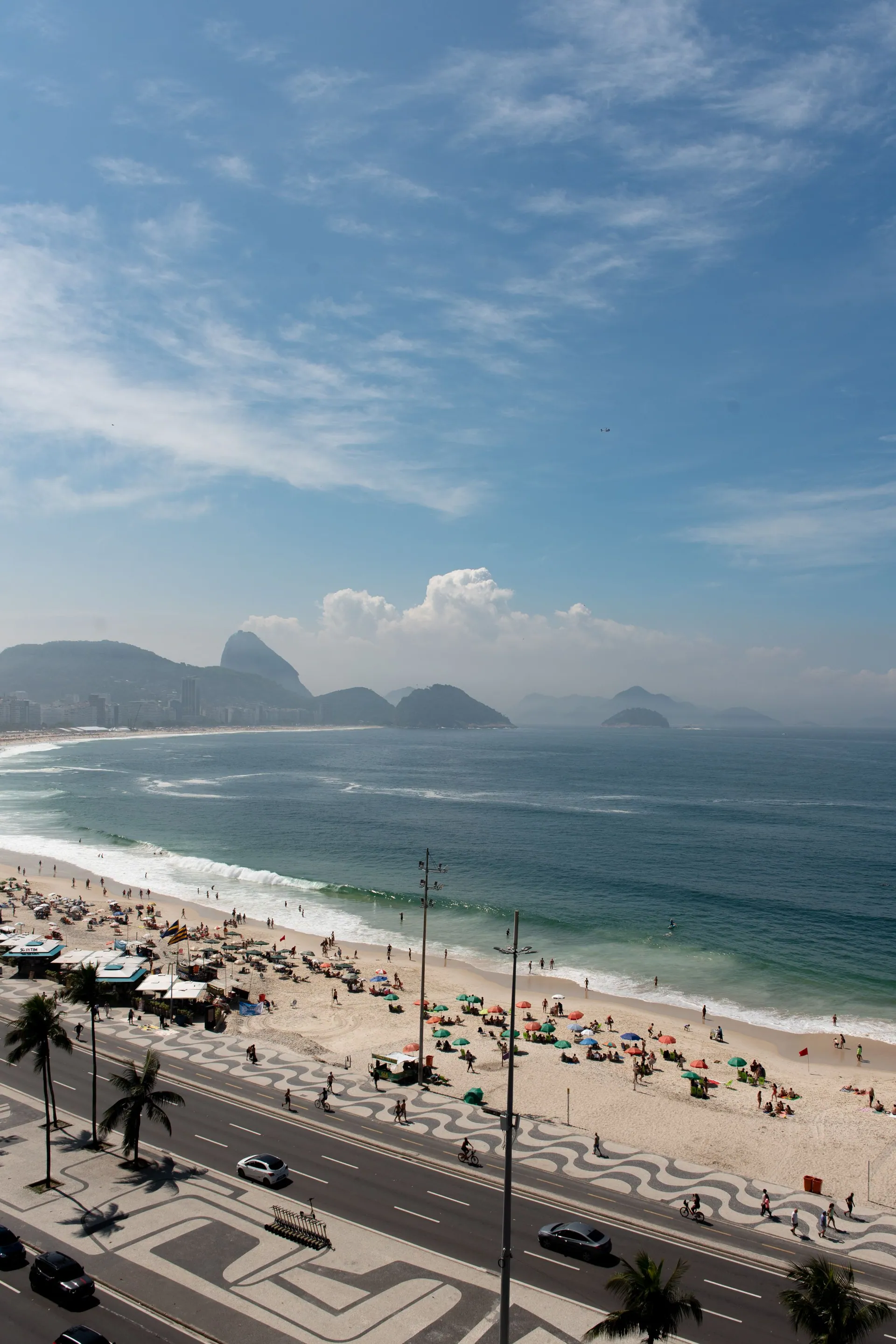
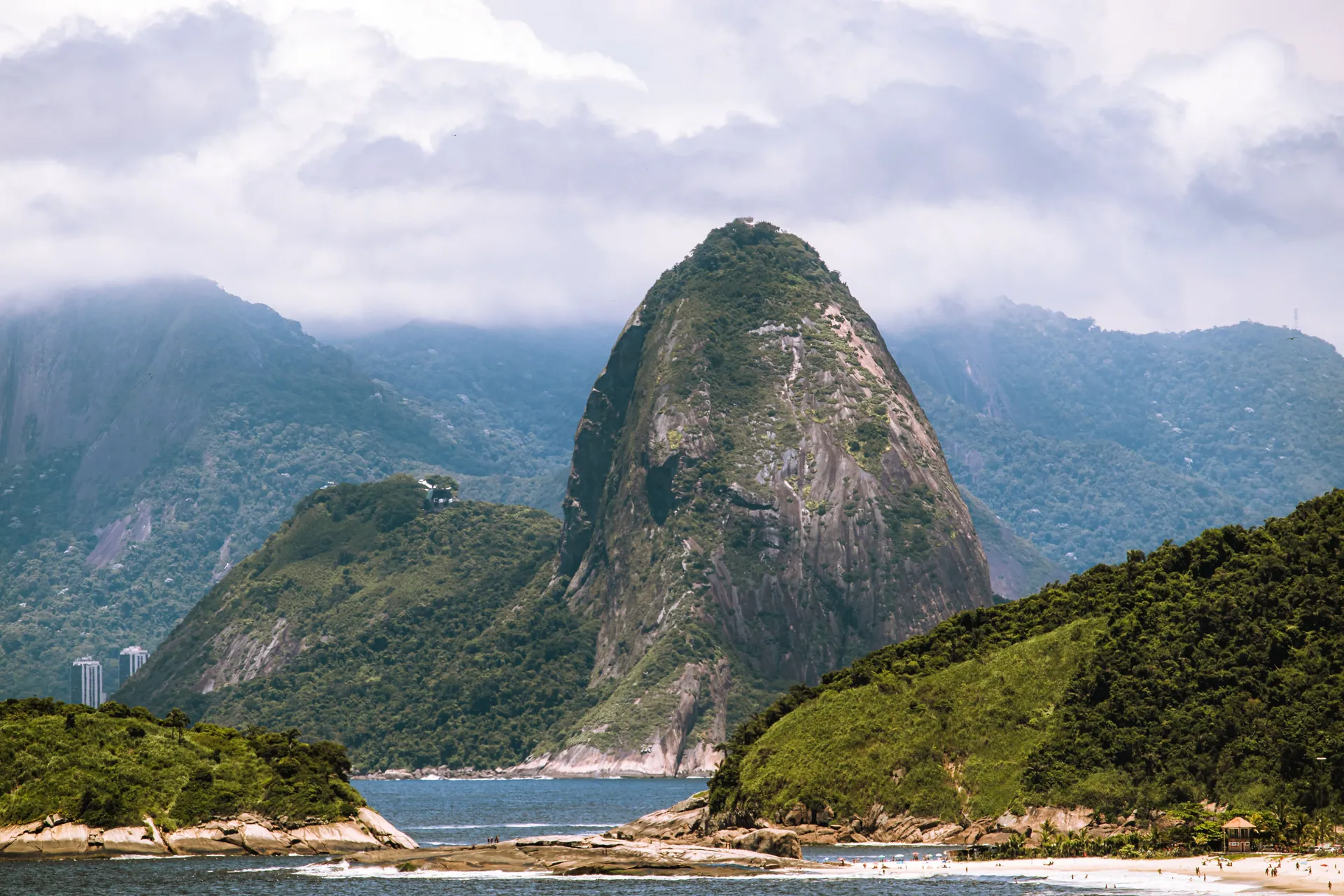

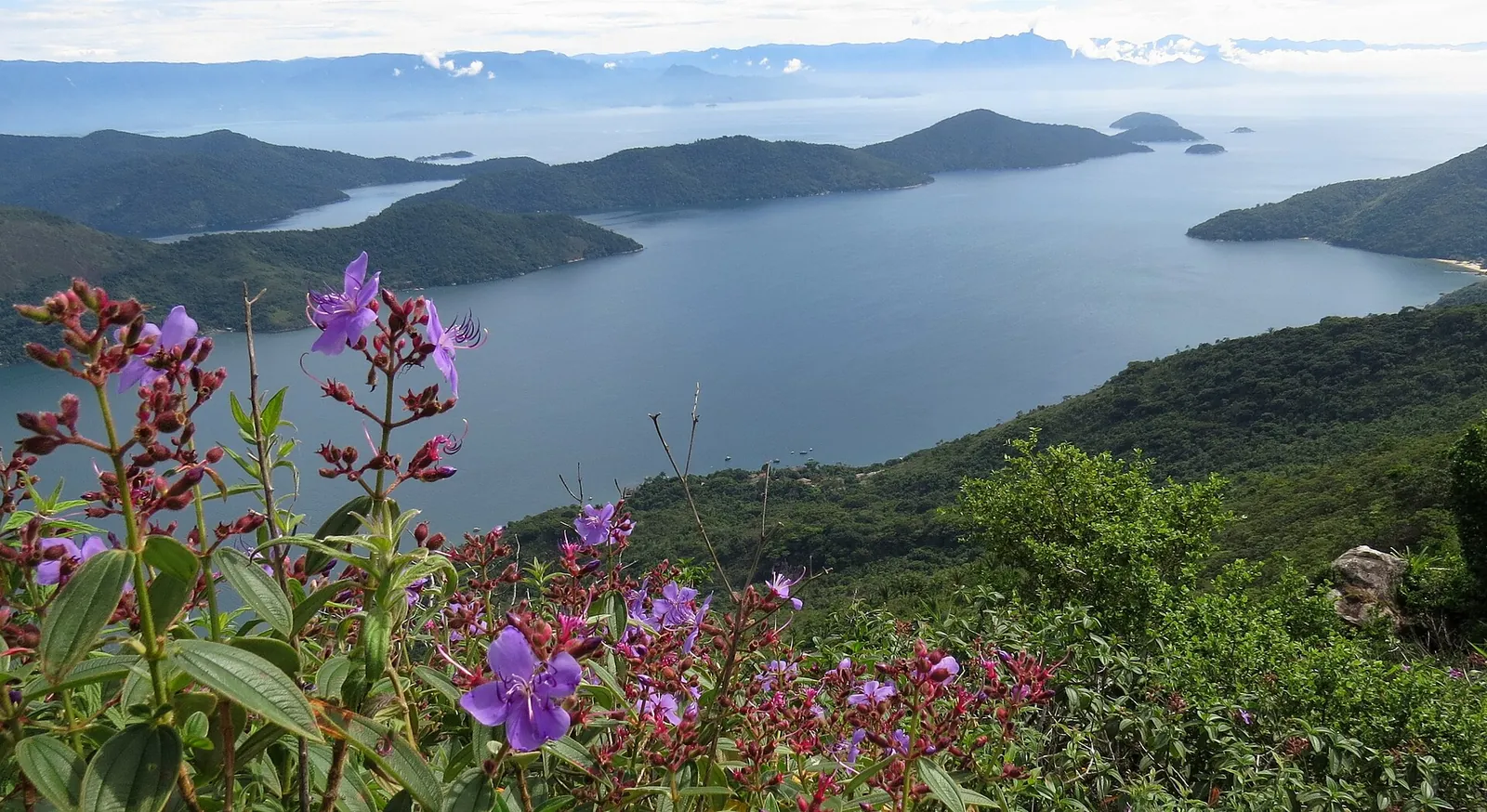
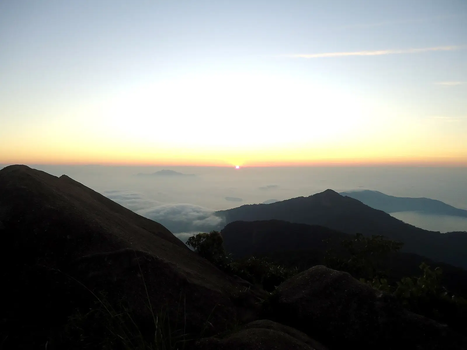
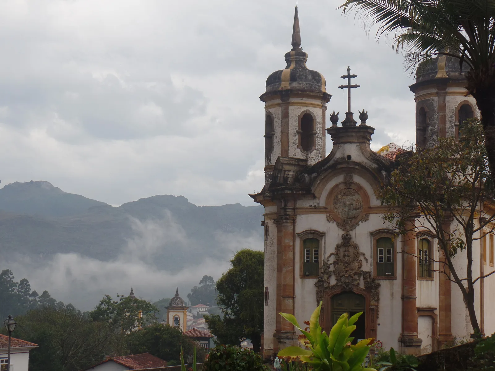
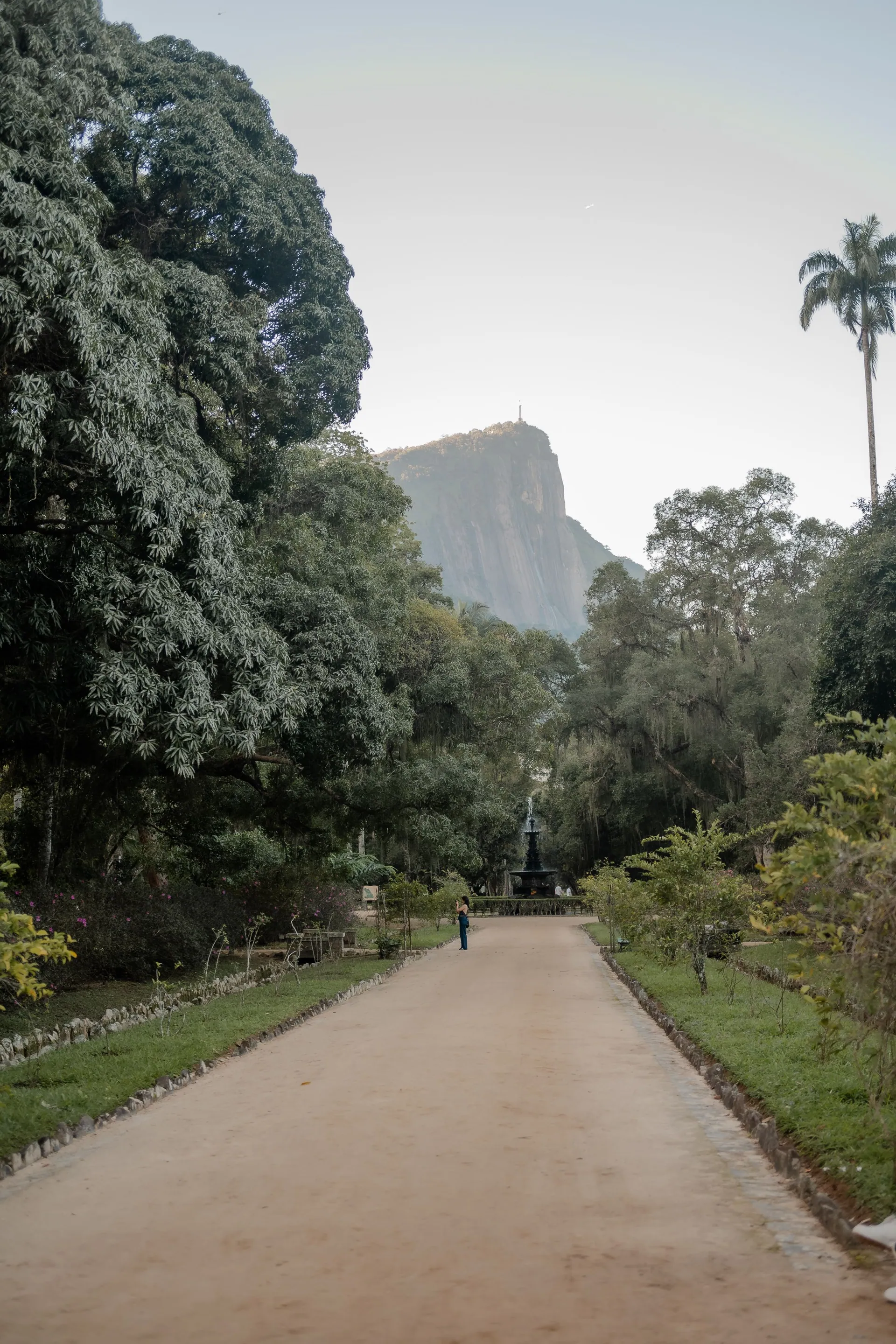

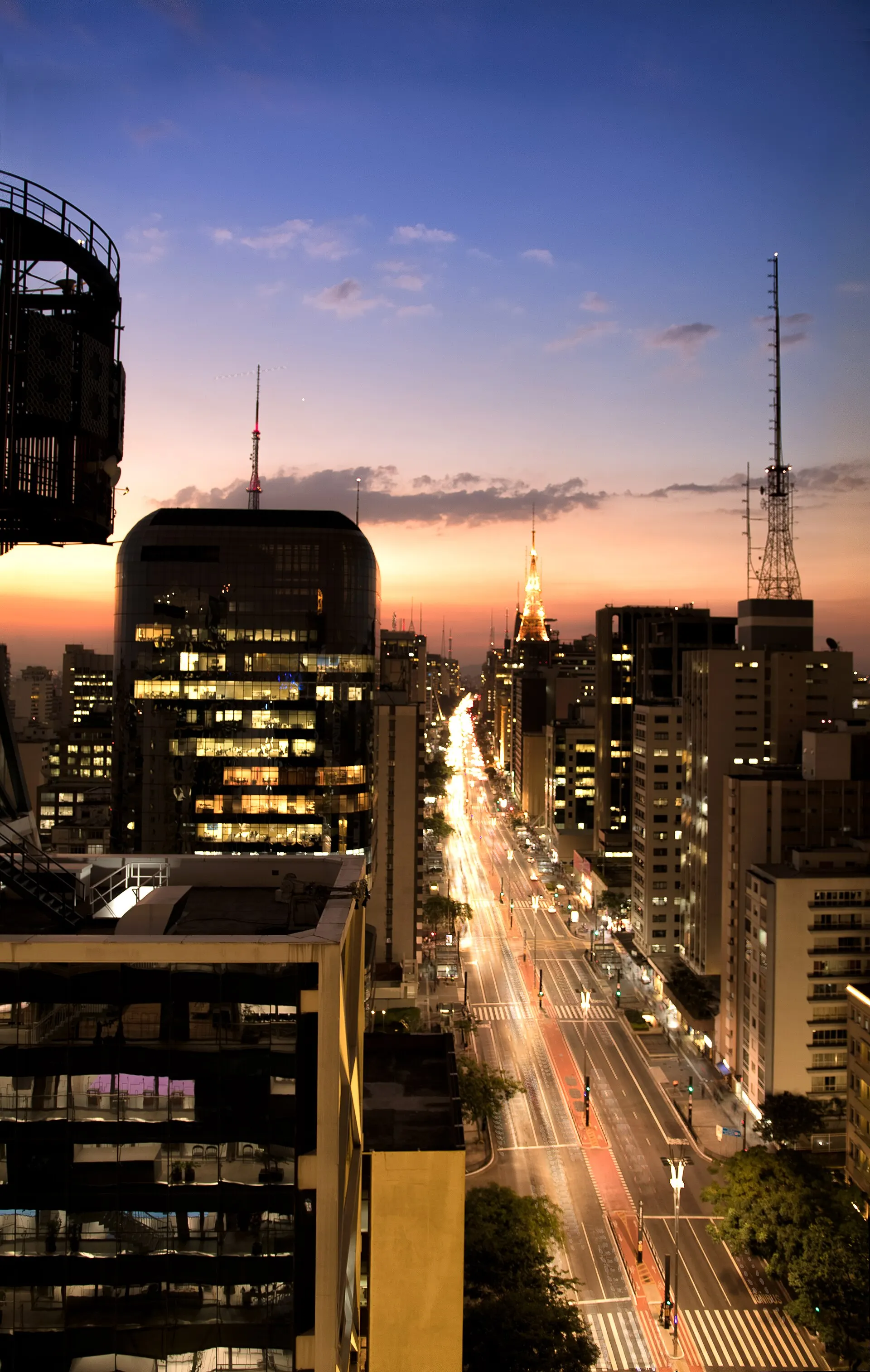
The smallest region, the biggest everything else. This is the smallest of Brazil's five regions by area, and by far the largest by population and economy: around 42% of the country lives here, and it produces more than half of Brazil's economic output. That density built a deep layer of things people made, not just landscape. Colonial gold towns, major museums, a strong restaurant scene, and some of the best-preserved Atlantic rainforest left anywhere.
Most first trips spend the most nights here. Rio earns three or four on its own. Add the Costa Verde, the green coast running southwest of the city toward Paraty and Ilha Grande, and you get a week that covers a great city, a colonial port, and a car-free island. None of it needs a flight.
Go inland and the trip changes shape entirely. Minas Gerais offers mountains, baroque churches, and food that most Brazilians will call the best in the country. São Paulo is where you go for restaurants, galleries and nightlife rather than views.
Where to go in the Southeast
-
Rio de Janeiro state · 3–4 nights
Rio de Janeiro
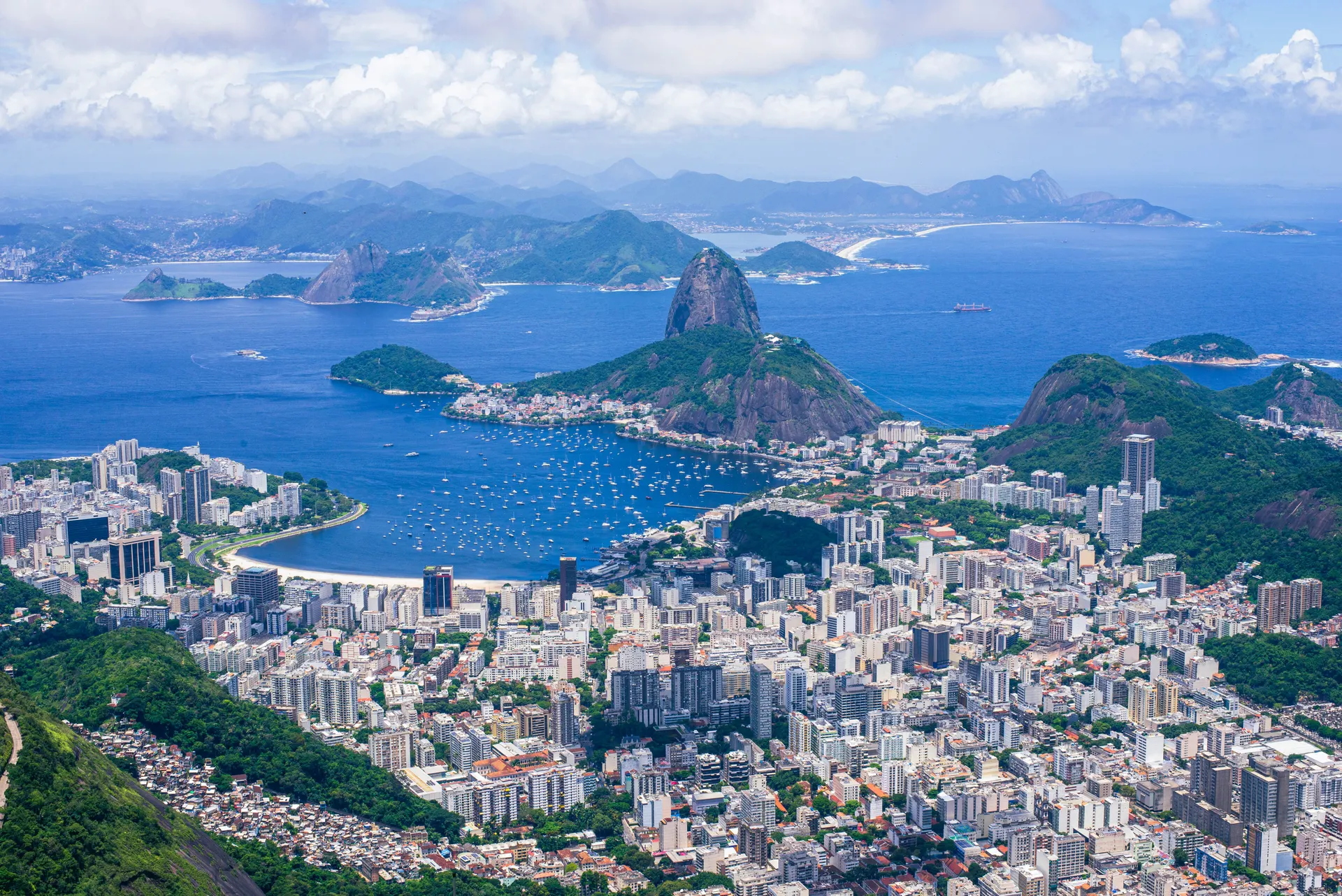
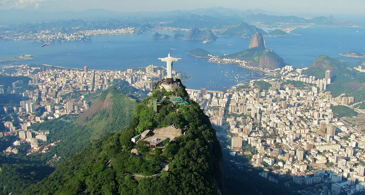
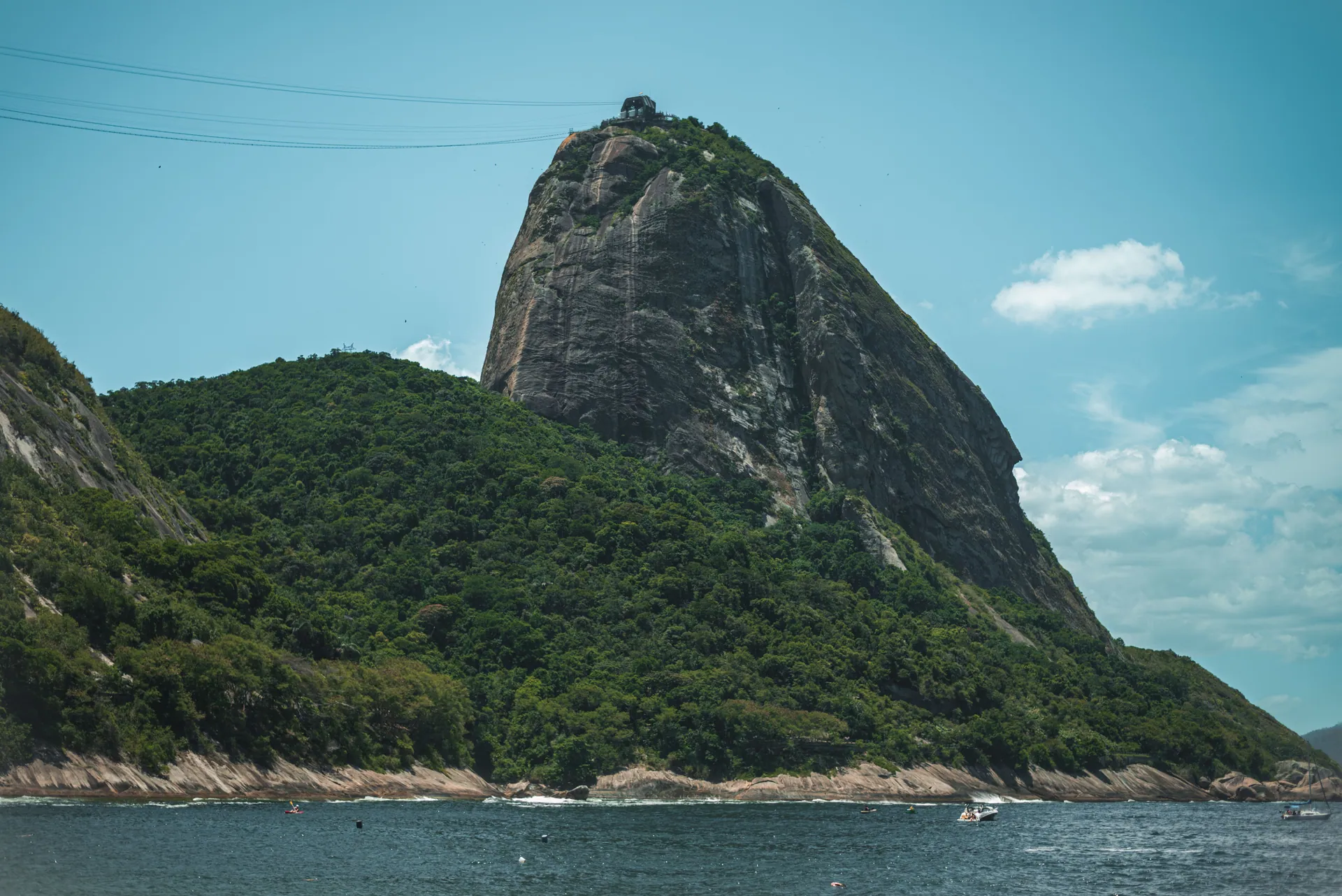
The city most people picture. Rio is the most famous city in Brazil, and it delivers on the picture in your head. Six million people live wrapped around granite peaks, rainforest and a string of beaches. You can see the whole layout in one glance from Corcovado or Sugarloaf.
Three days covers the list: Christ the Redeemer, Sugarloaf, Copacabana and Ipanema, and the restored port district around Praça Mauá. A fourth day turns a checklist into a trip. Hike up Pedra Bonita or Morro Dois Irmãos in the morning, spend the afternoon in the Jardim Botânico, catch sunset at Arpoador, and eat dinner in Santa Teresa or Lapa.
- Christ the Redeemer and Corcovado, best visited first thing before cloud sets in
- Sugarloaf at sunset: cable car up, walking trail down
- Ipanema and Leblon, plus the Arpoador rock between them
- Santa Teresa's hillside streets and the Selarón steps
- A guided visit to a favela community, arranged through local partners
-
São Paulo state · 2–3 nights
São Paulo
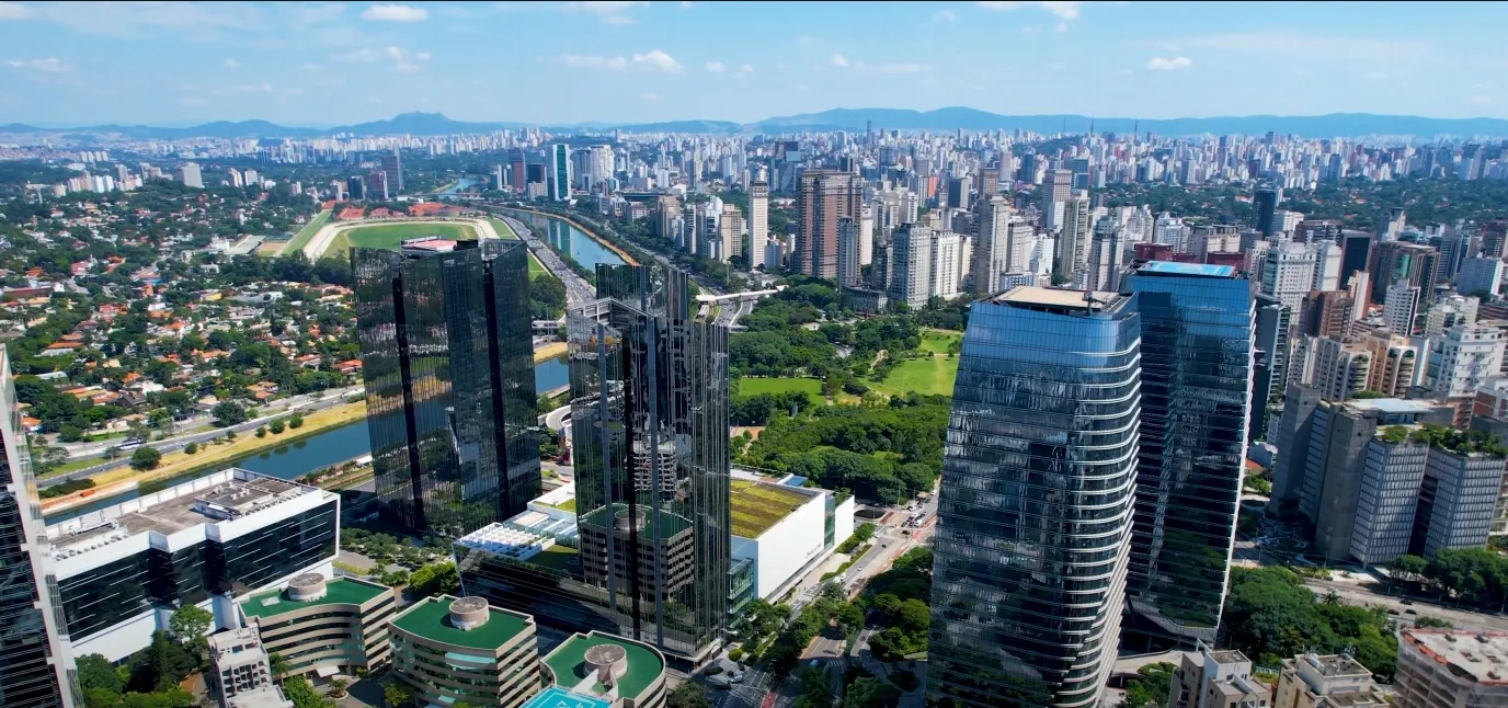
Not a pretty city. Nobody who lives in São Paulo will claim otherwise. It is, however, the most interesting city in South America. Twelve million people live in the city and twenty-two million in the metro area, built by waves of Italian, Japanese, Lebanese, Portuguese and northeastern Brazilian migration. All of it shows up on the plate.
Come here to eat, look at art, and go out. Walk Avenida Paulista on a Sunday when it closes to traffic and visit MASP. Spend a morning at the Mercado Municipal. See Liberdade, home to the largest Japanese diaspora community in the world, or Vila Madalena for street art and bars. It is also Brazil's main international hub, which makes two nights here an easy add rather than a detour.
- MASP and the Pinacoteca for Brazilian and European art
- Mercado Municipal, then a mortadella sandwich too big to finish
- Liberdade and a Japanese-Brazilian meal
- Beco do Batman and the Vila Madalena street-art alleys
- Ibirapuera Park and Niemeyer's pavilions
-
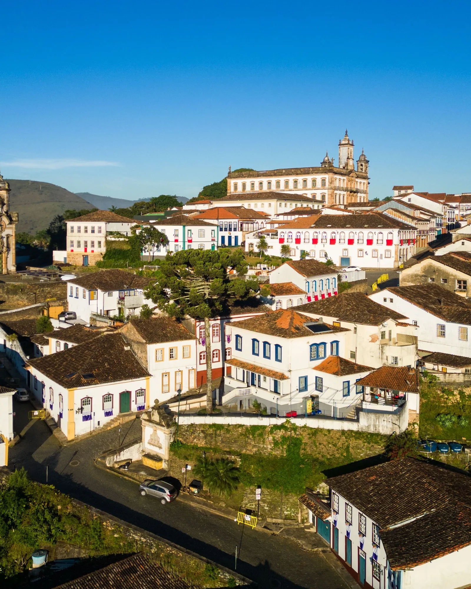
Minas Gerais · 3–4 nights
Ouro Preto
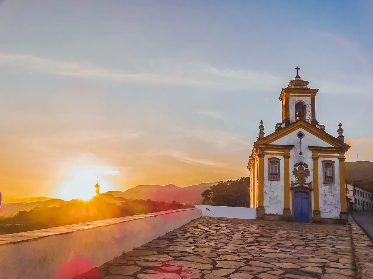
The town an 18th-century gold rush built, and then left behind. Ouro Preto is a UNESCO site of churches, steep cobbled streets and hills — the best-preserved baroque landscape in the Americas, and the place to see Aleijadinho, the greatest artist Brazil has produced.
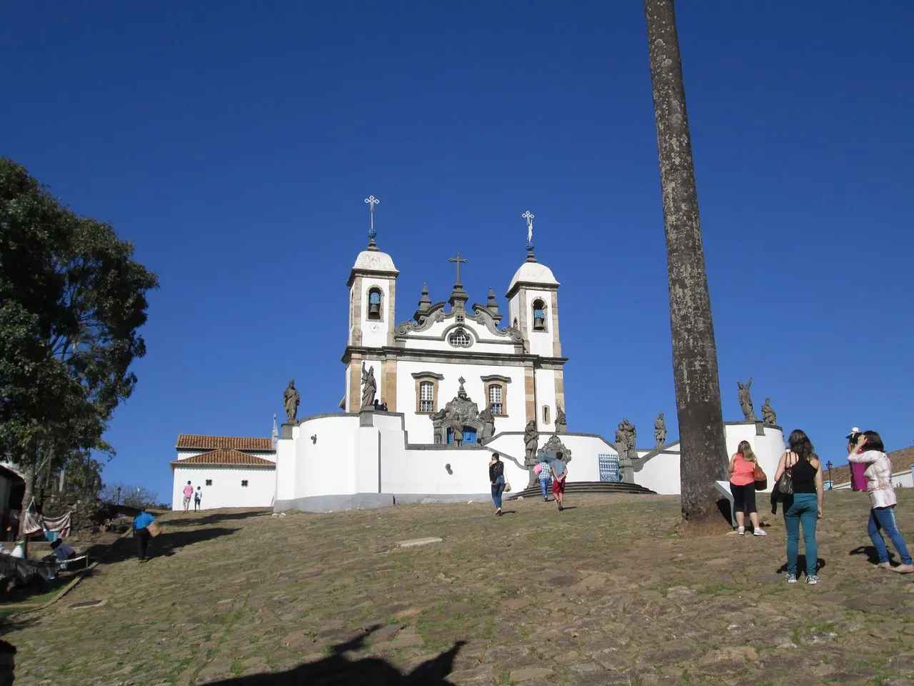
Mariana is 12 km away, and Congonhas, where Aleijadinho’s twelve soapstone prophets stand on a hillside terrace, is an hour and a quarter. Three days covers the town; four buys the prophets. It is landlocked, mountainous, and it is also the country’s food capital.
- São Francisco de Assis, Aleijadinho’s masterpiece, and a dozen more churches
- The Museu da Inconfidência on Praça Tiradentes, and gold-mine tunnels under the town
- Aleijadinho’s twelve soapstone prophets at Congonhas
- Mariana, 12 km east, and the Arp Schnitger organ in its cathedral
- Cobbles that will punish the wrong shoes, and reward the right ones
-
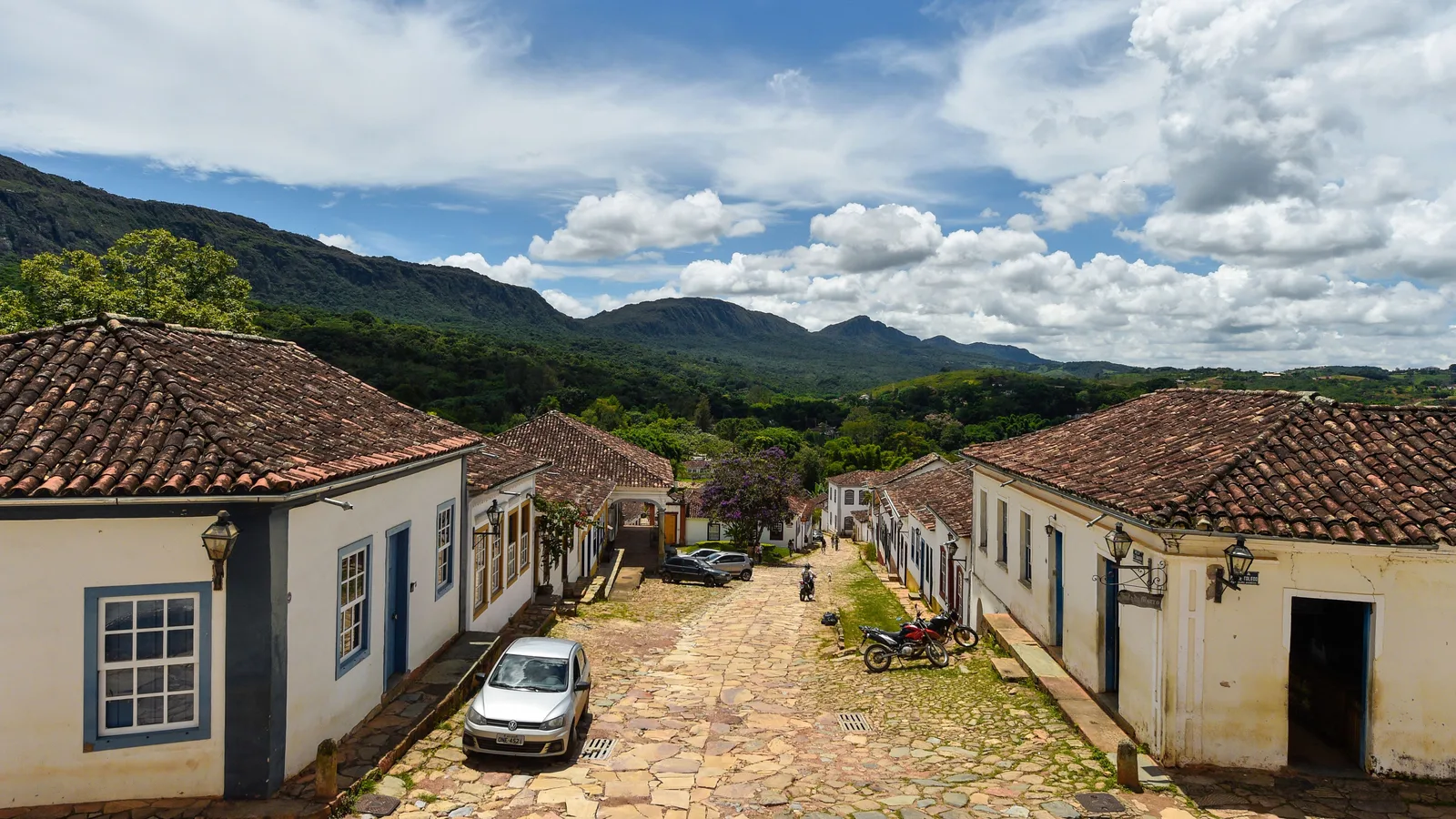
Minas Gerais · 2–3 nights
Tiradentes & São João del-Rei
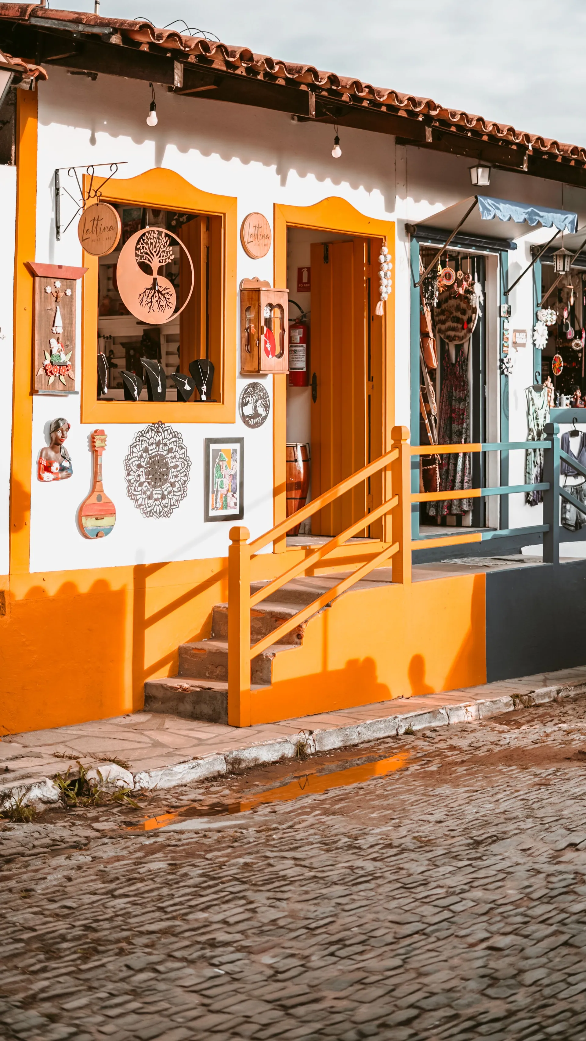
Two colonial towns 13 km apart, joined by the oldest working steam railway in Brazil. Tiradentes is the small one — eight thousand people, one intact grid of cobbles and whitewash, and an economy of pousadas, restaurants and festivals. São João del-Rei is the working town of ninety thousand around its own baroque core, and it is where the trains are kept.
The Maria Fumaça has run on its 762 mm gauge since 1881 and still crosses the cattle country between them on Fridays, Saturdays and Sundays. Come for that, the churches, the craft villages either side of Tiradentes, and a festival calendar that fills four different months.
- The Maria Fumaça steam train, running since 1881
- Matriz de Santo Antônio in Tiradentes, and its 1788 Porto organ
- São Francisco de Assis in São João del-Rei, and two orchestras founded in the 1700s
- The roundhouse and turntable at the railway works
- Walking the Serra de São José, which closes every street view in Tiradentes
-
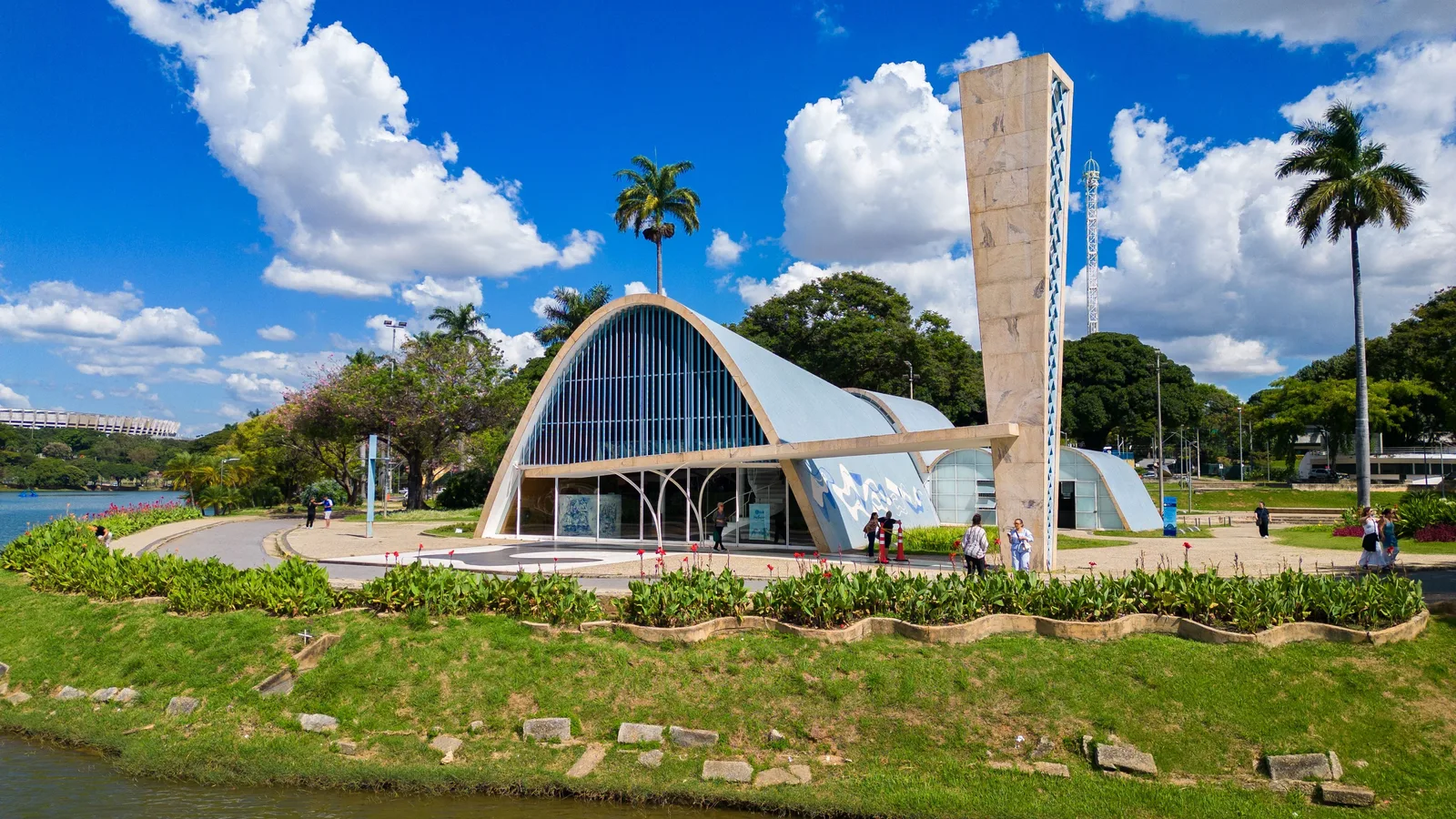
Minas Gerais · 3–4 nights
Belo Horizonte
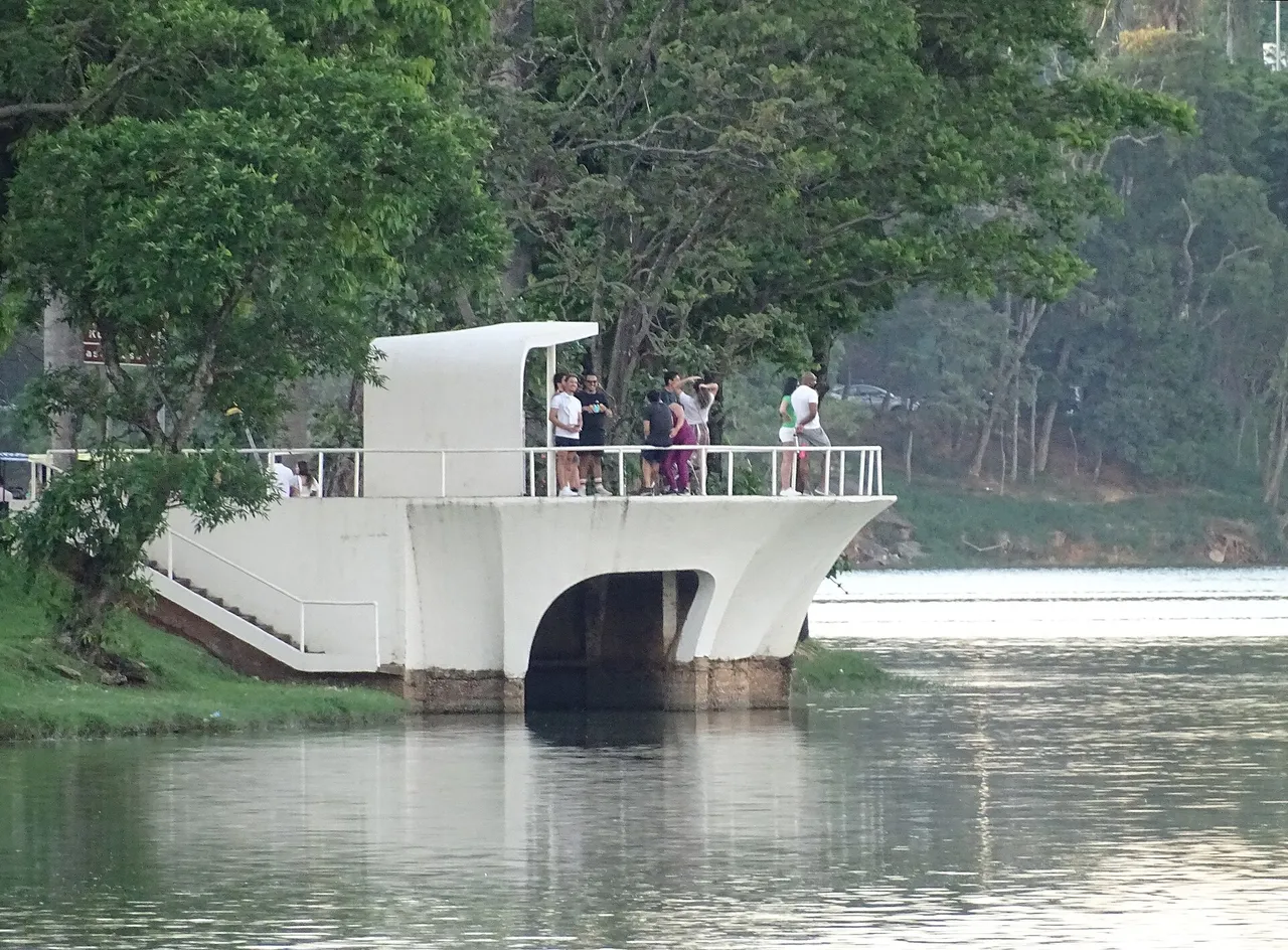
The capital of Minas Gerais, a planned city with no beach and no colonial core, and better than most visitors expect. Around the lake at Pampulha, Oscar Niemeyer built a church, a casino, a dance hall and a yacht club in the early 1940s, and UNESCO listed them in 2016.
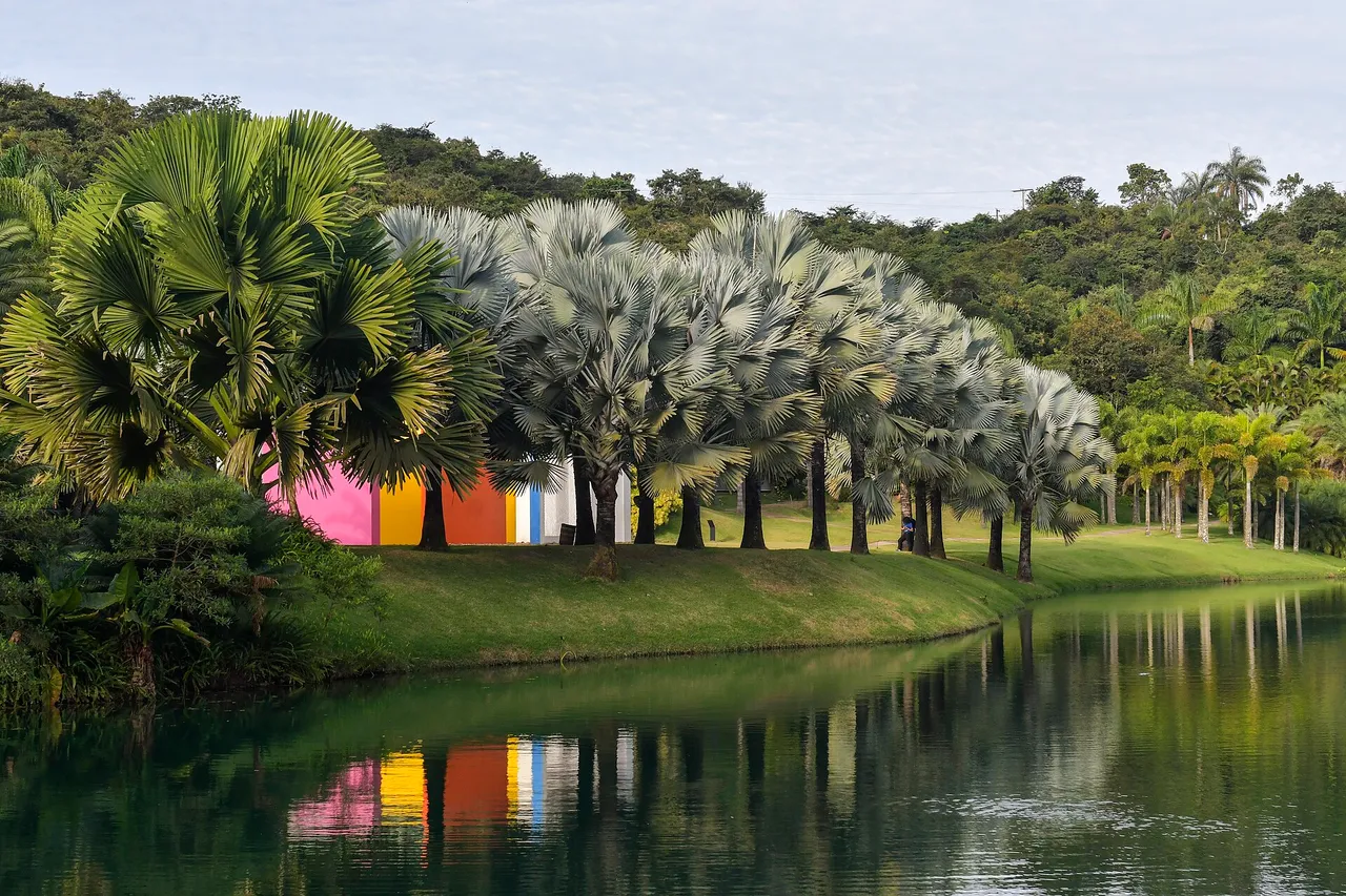
An hour and a half out of town, Inhotim spreads contemporary art through a botanical garden, and it wants a full day of its own. Back in the city, the cooking of Minas is easiest to eat here, from the Mercado Central to the botecos. Ouro Preto is two hours away and has its own page.
- A full day at Inhotim, the art museum in a garden
- Niemeyer’s Pampulha buildings around the lake
- Cheese, cachaça and lunch at the Mercado Central
- The Praça da Liberdade and its museums
- The botecos, and Comida di Buteco in season
-
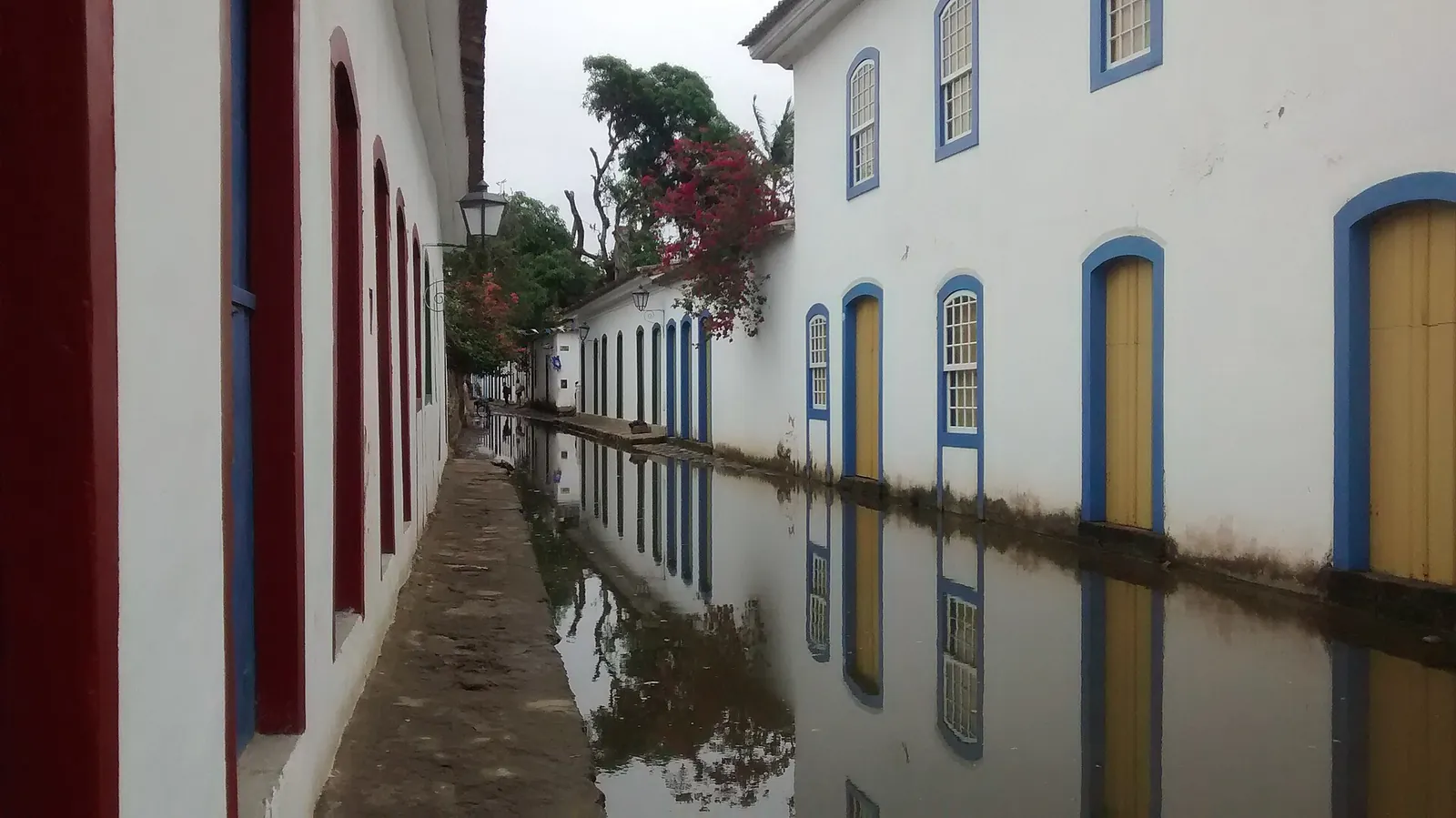
Rio de Janeiro state · 2–3 nights
Paraty & the Costa Verde
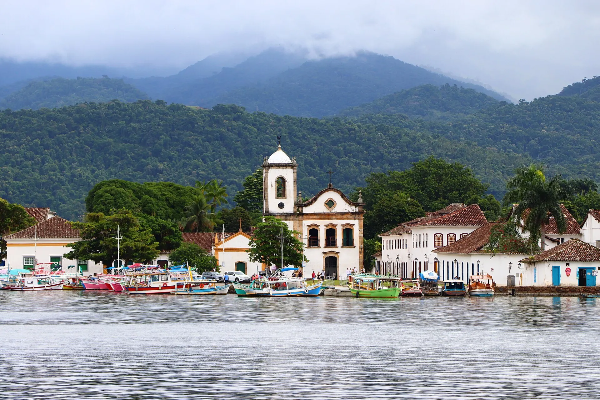
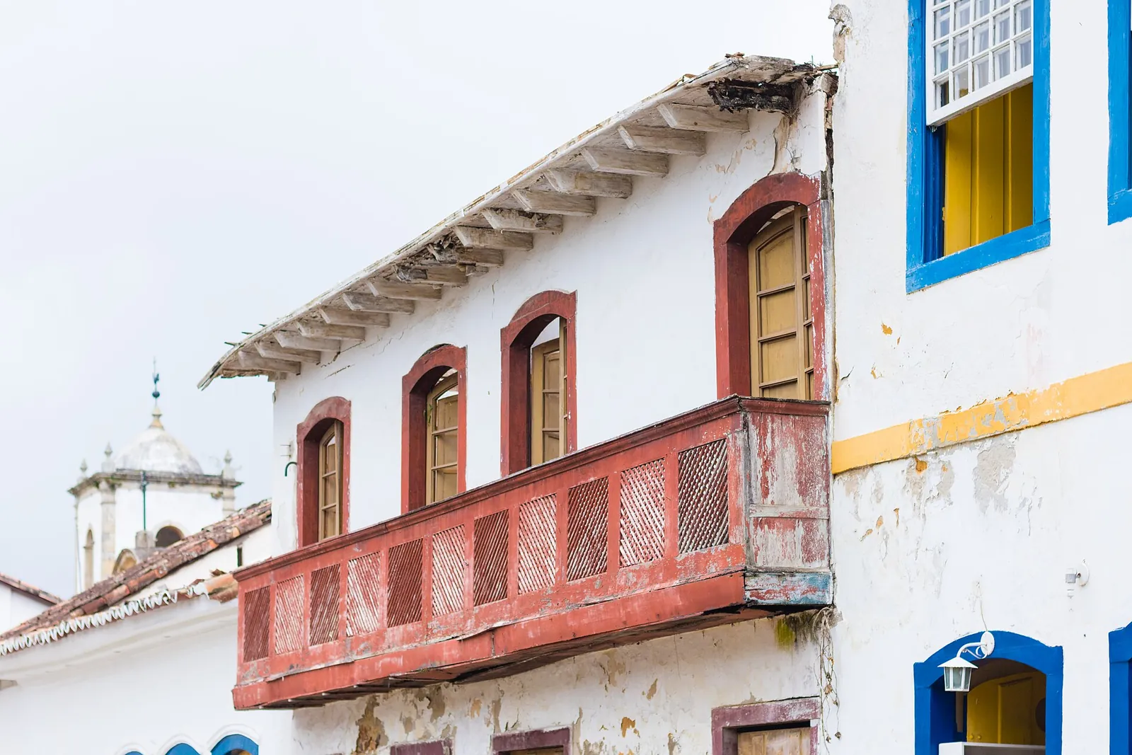
A port the gold trade built, then forgot. Paraty sits four hours down the coast from Rio, and being forgotten is exactly why it survived. The historic center bans cars and sits on irregular stone. Spring tides flood the streets and wash them clean, an 18th-century design that still works.
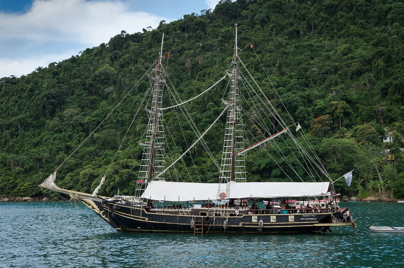
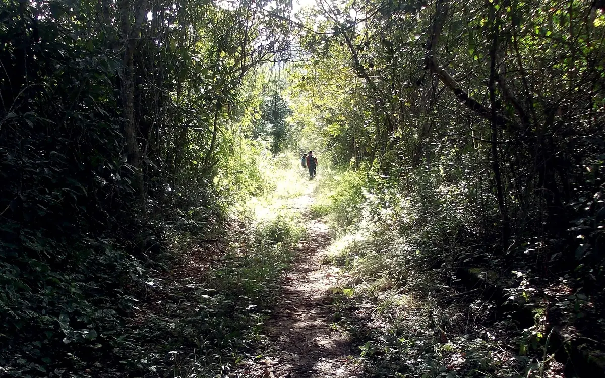
The town is the base. The bay is the reason to stay. Spend a day on a schooner between the islands and swimming beaches, a day on the Gold Trail through Atlantic rainforest, and a day at Saco do Mamanguá, a long narrow inlet often called Brazil's only tropical fjord.
- The car-free historic center and its flooded streets at high tide
- A schooner day around the bay's islands and beaches
- The Caminho do Ouro, the old stone gold road into the mountains
- Saco do Mamanguá by boat or stand-up paddle
- Cachaça distilleries in the hills behind town
-
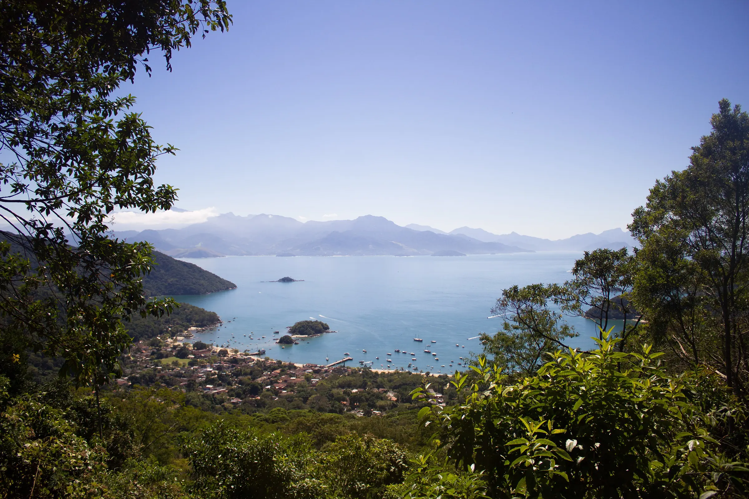
Rio de Janeiro state · 2–3 nights
Ilha Grande
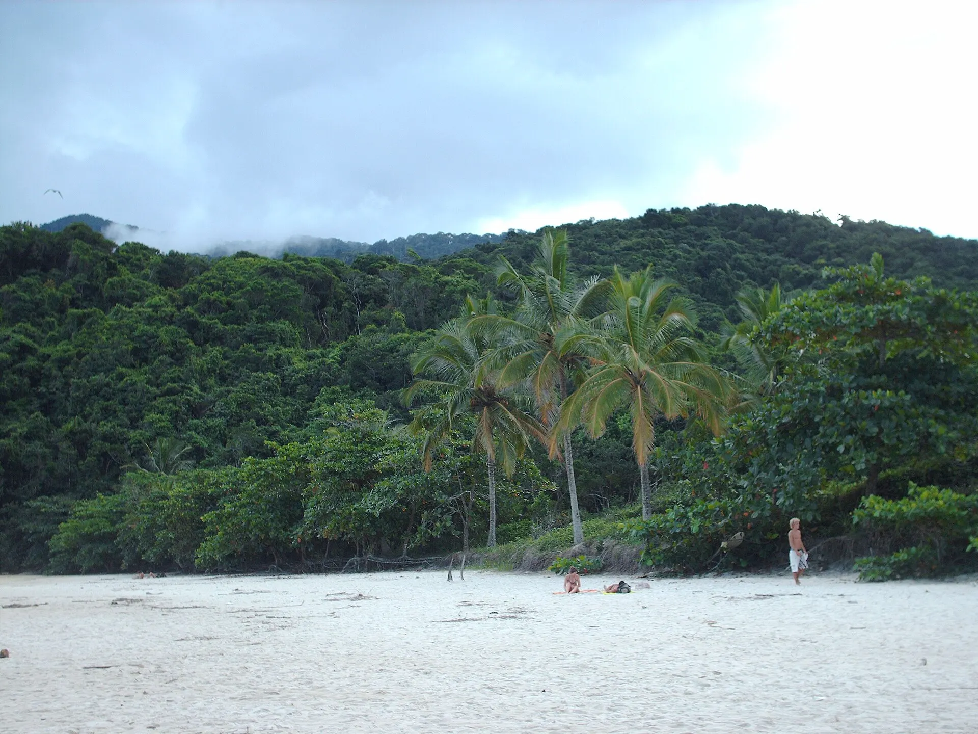
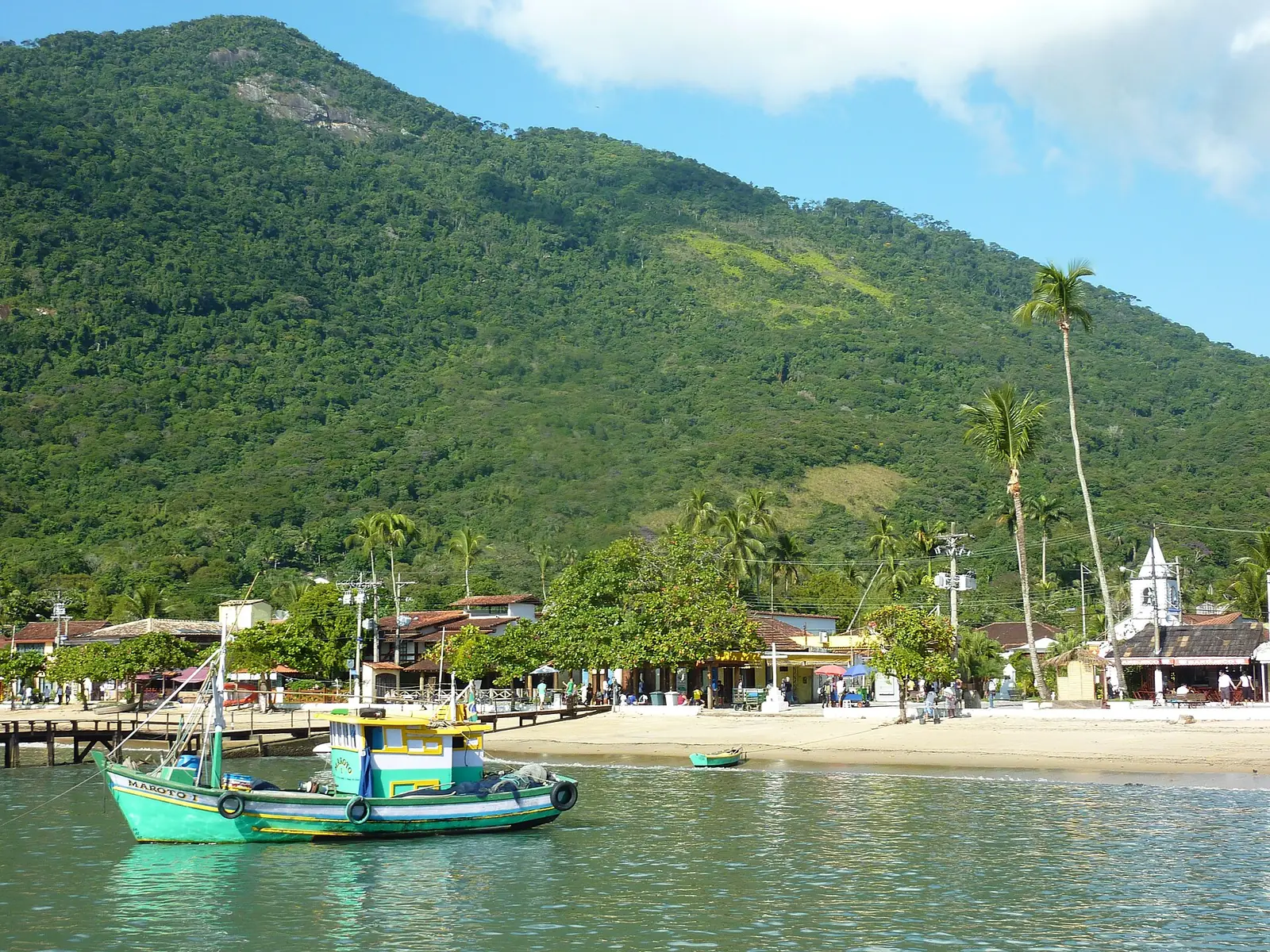
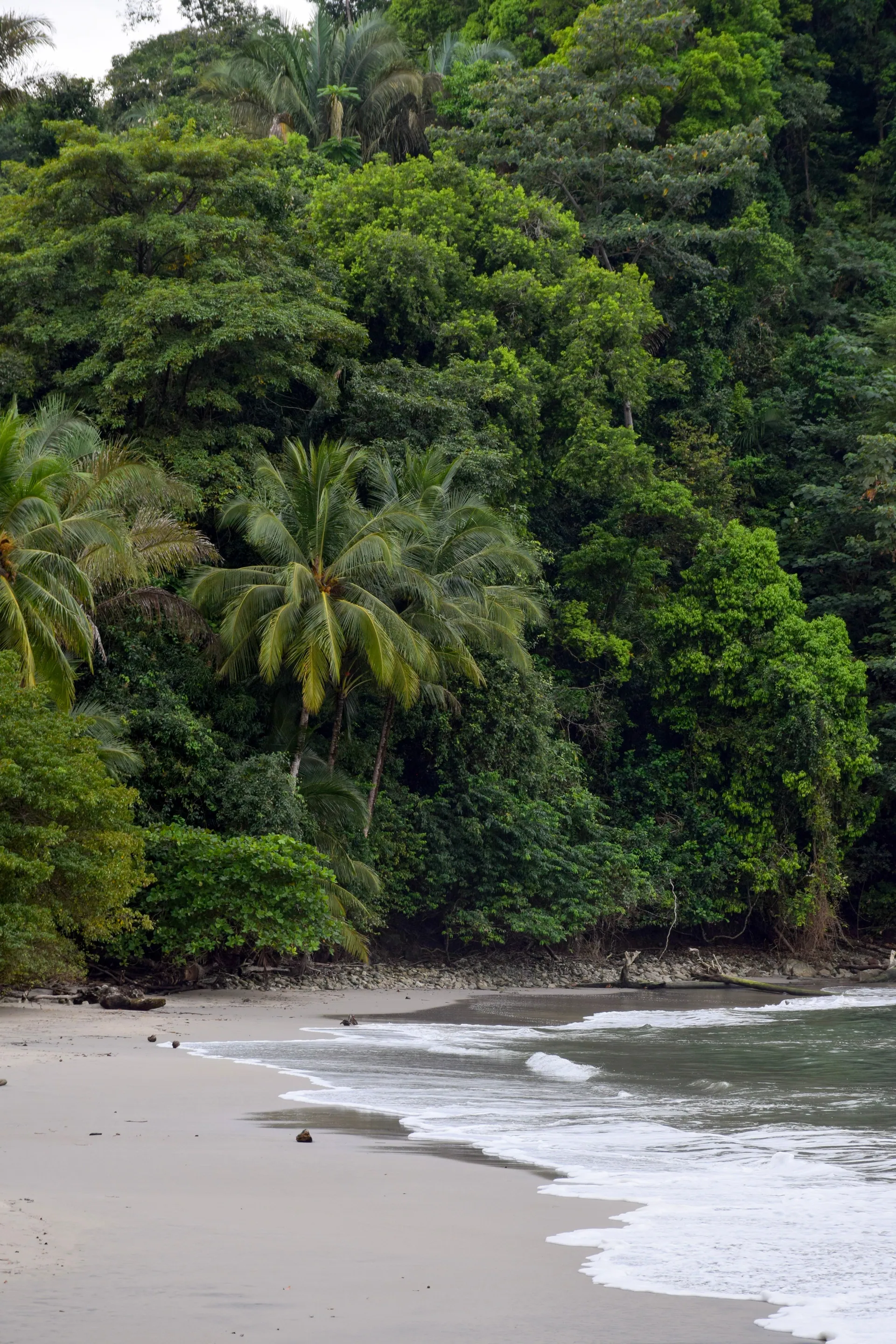
No cars, no roads, no ATMs. Ilha Grande sits an hour's boat ride off the Costa Verde. It was a leper colony, then a maximum-security prison, and that grim history is the reason the forest was never cleared. Most of the island is now protected parkland.
You arrive at Vila do Abraão and walk from there, or take a boat. Reach Lopes Mendes on foot through the forest, or by boat and a short walk. People regularly call it the best beach in Brazil, and it earns the claim.
- Lopes Mendes beach, two hours on foot through rainforest
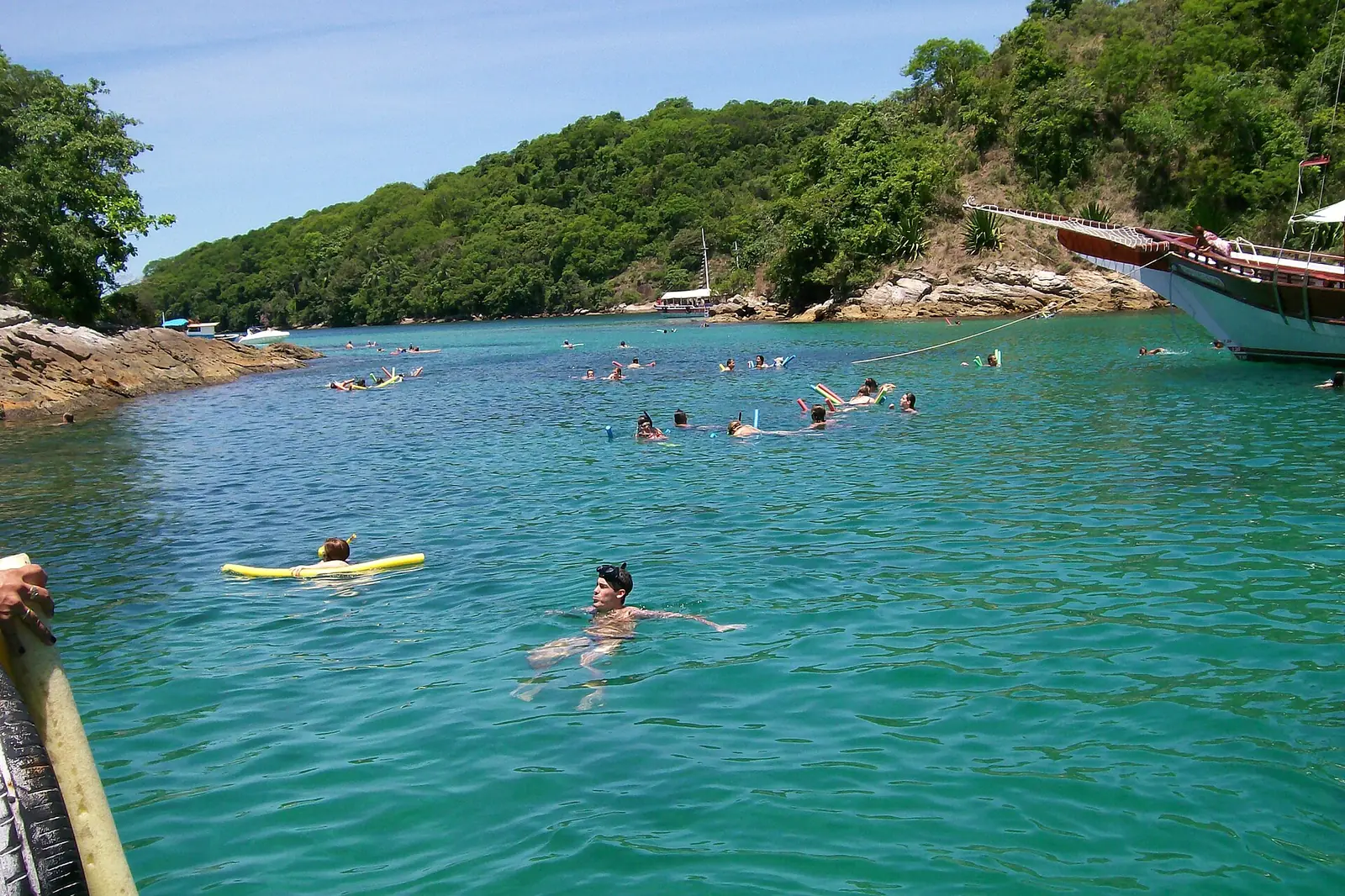
- Lagoa Azul for snorkeling over clear water
- The pre-dawn climb up Pico do Papagaio for sunrise
- Praia do Aventureiro and its leaning palm
- Green turtles in the shallows, most reliable early in the day
-
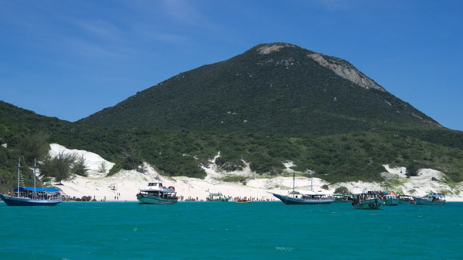
Rio de Janeiro · 3–4 nights
Búzios & Arraial do Cabo
The corner of the coast about three hours east of Rio, where two towns 40 kilometers apart do completely different jobs. Arraial do Cabo is a working fishing town whose boats take you out to the island and the cold, clear water around it. Búzios is a peninsula of small beaches, a cobbled street of restaurants, and an evening.
The sea here is colder than anywhere else on a Rio trip, and that is the point: the cold water welling up off the cape is what makes it clear. One stop of three or four nights after Rio covers both towns, with Arraial the cheaper base and Cabo Frio in between as the convenient one.
- The boat out to Praia do Farol on Ilha do Cabo Frio
- The Prainhas do Pontal do Atalaia
- Rua das Pedras and the Orla Bardot after dark
- A day working through the Búzios beaches
- Forte São Mateus on the Cabo Frio waterfront
More of the Southeast
When to go to the Southeast
The Southeast's season is the dry winter, and it splits by a month. Rio and the Minas hill towns are at their driest in July; São Paulo and the Costa Verde coast, Paraty and Ilha Grande, in August. Summer is hot, humid, expensive and wet, and Carnival is the one reason to take it on.
- Best — The one or two peak months
- Good — A real recommendation
- Trade-offs — Workable, with a catch
- Jan
Peak summer. Hot, humid, expensive, and Rio is at its busiest. Wonderful beach energy if you can take the heat.
- Feb
Carnival month. Extraordinary if that is what you came for, brutal on prices and crowds if it is not.
- Mar
The heat starts to break and the crowds thin. Rain is heavier but usually arrives as a short afternoon storm.
- Apr
Warm and drying out, and the sea is still warm enough to swim in. The start of the good stretch.
- May
Clear mild days and low humidity. Comfortable for walking Rio and for the Minas towns.
- Jun
Cooler but bright and dry. Festa Junina fills the Minas interior with bonfires, food and music.
- Jul
The peak for Rio and the Minas hill towns: Rio's driest month at 41.9 mm on four rain days with humidity at its annual low, Ouro Preto's at 15 mm, Tiradentes' at 11.5. The clearest month of the year from Sugarloaf and Corcovado.
- Aug
The peak for São Paulo and the Costa Verde: São Paulo's driest month by a wide margin at 20.3 mm, Paraty's at 54 to 74 mm across its two stations, and Ilha Grande's at 54 mm on seven rain days. Dry and mild, and the sea is chilly.
- Sep
Spring. Warm days return without the summer humidity, though September is Rio's least sunny month of the year at 146 hours.
- Oct
Warm and green after the first rains, with the rain building steadily through the month.
- Nov
Warm and increasingly humid, with afternoon rain building. Still good value.
- Dec
Hot and busy, and prices climb steeply toward New Year. Copacabana on the 31st is worth doing once.
Dates worth planning around
-
Carnival
5-10 February 2027
Rio's Sambadrome parades run 7-9 February. Book accommodation close to a year out and expect four-night minimums.
-
Réveillon
31 December
2.6 million people dressed in white on Copacabana beach for the midnight fireworks, the largest New Year's party in the world. That is the Prefeitura's own count for 2026.
-
Festa Junina
Throughout June
At its best in the Minas Gerais towns: bonfires, quadrilha dancing and hot corn dishes.
Getting around the Southeast
The Southeast is the easiest part of Brazil to move around. Two major international airports, short hops between the highlights, and one long drive that is genuinely worth doing yourself.
Where to fly into
-
Rio de Janeiro - Galeão (GIG)
The main international gateway. Santos Dumont (SDU) handles domestic flights and sits right in the middle of the city.
-
São Paulo - Guarulhos (GRU)
Brazil's largest hub, where most long-haul flights connect. Congonhas (CGH) is the in-city domestic airport.
-
Belo Horizonte - Confins (CNF)
The way into Minas Gerais, on domestic connections from Rio or São Paulo.
Between the places on this list
- 4h
Rio to Paraty
The coastal BR-101, mountains on one side and islands on the other. Comfortable buses run it too.
- 1h
Rio to São Paulo
The shuttle route - flights leave Santos Dumont roughly every half hour. An overnight bus takes six.
- 1h
Rio to Belo Horizonte
Or seven hours by road. Fly, unless you are continuing through Minas by car.
- 1-2h
Paraty to Ilha Grande
Schooner or fast boat, also from Angra dos Reis. Check the last departure - they stop mid-afternoon.
- 8h
São Paulo to Ouro Preto
Long. Fly to Confins and pick up a car there instead.
Once you are there
-
Rio de Janeiro
The metro covers Copacabana, Ipanema and the center and is the fastest way across the Zona Sul. Use Uber or 99 after dark rather than hailing on the street.
-
São Paulo
The metro is excellent and the traffic is not. Plan around it - a six-kilometer crosstown trip can take an hour at rush hour.
-
The Minas towns
Ouro Preto, Tiradentes and Congonhas are steep and cobbled. Wear real shoes and expect to walk everywhere.
Should you rent a car?
For the Costa Verde, yes. For the cities, no.
The Rio-Paraty coast road is one of the great drives in Brazil and a car turns it into the trip rather than the transfer. In Rio and São Paulo a car is a liability: parking is expensive, traffic is punishing, and both cities are better served by metro and ride apps.
Rio, the Costa Verde and Minas most often end up in the same trip. Tell us which one draws you in, and we'll tell you honestly how many nights each is worth.
Get trip adviceBahia · Pernambuco · Ceará · Maranhão · Rio Grande do Norte · Alagoas · Paraíba · Sergipe · Piauí
Northeast: Beaches, dunes and Afro-Brazilian culture
Three thousand kilometers of coastline and the warmest sea in Brazil. This is also the cultural heart of the country. If Brazil's music, food and religion feel like they come from somewhere in particular, this is that somewhere.
- How long to stay
- Four to five nights for one hub, ten or more to combine the coast with the Lençóis Maranhenses or the Chapada Diamantina.
- Good for
- Beaches, culture and music, food, dramatic landscapes, and travelers who want warm sea in the northern winter.
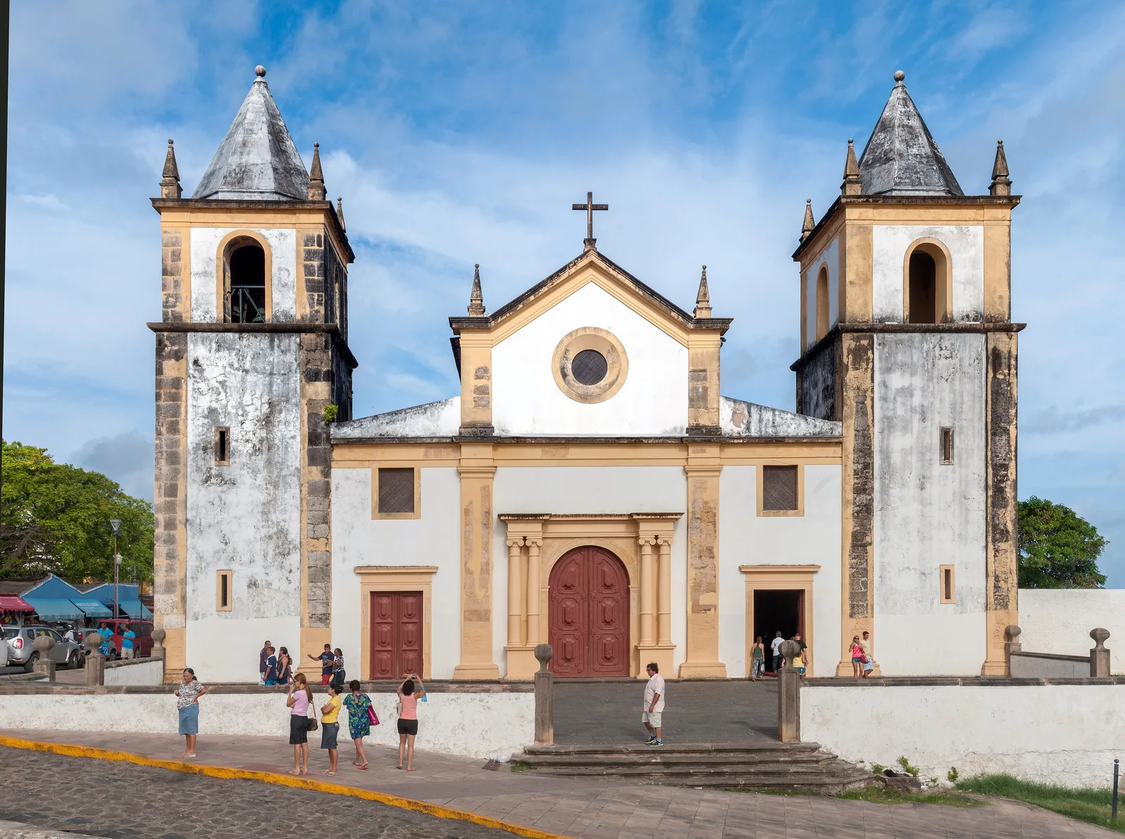

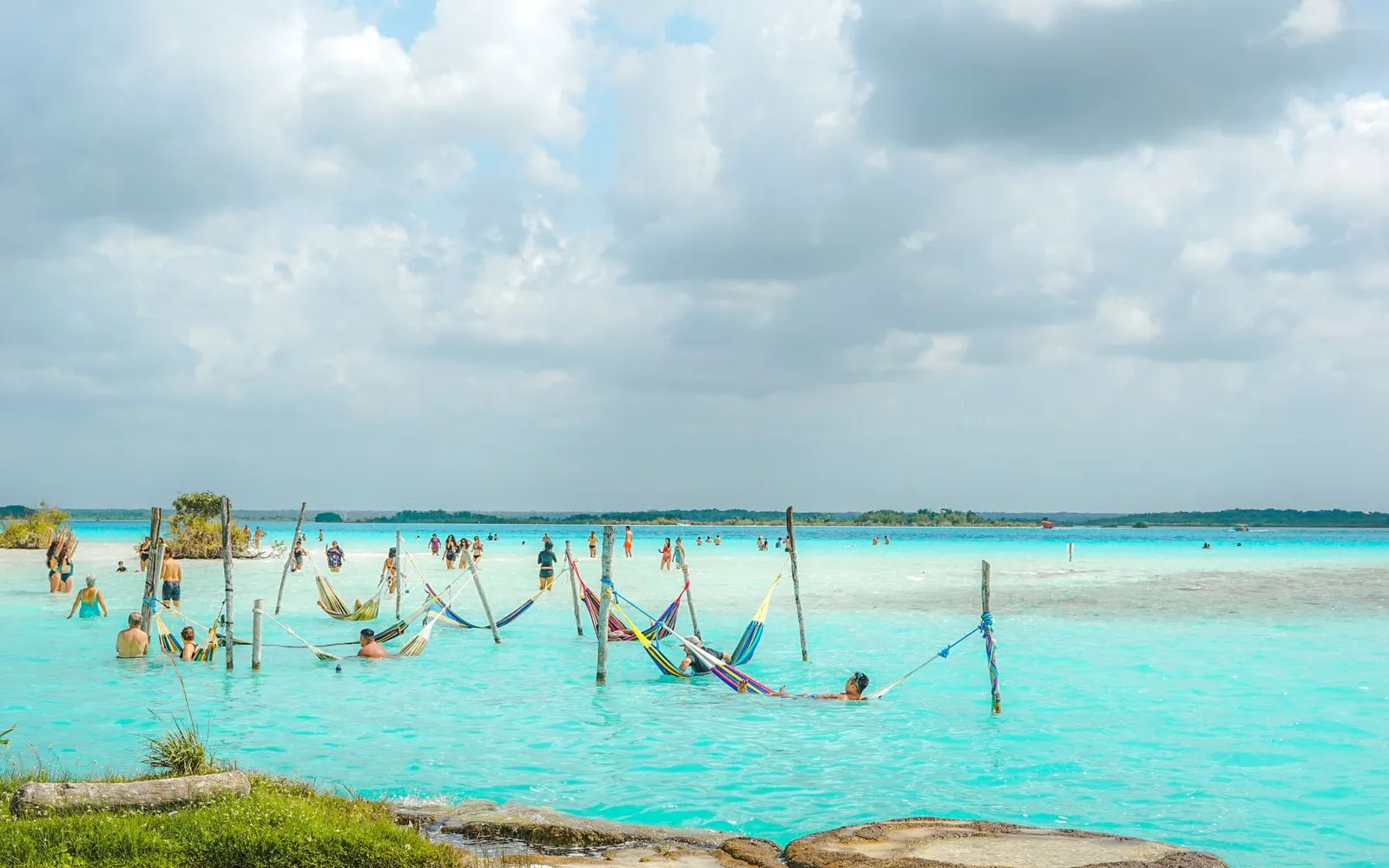

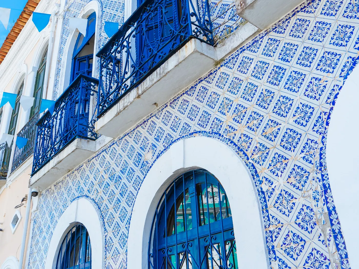
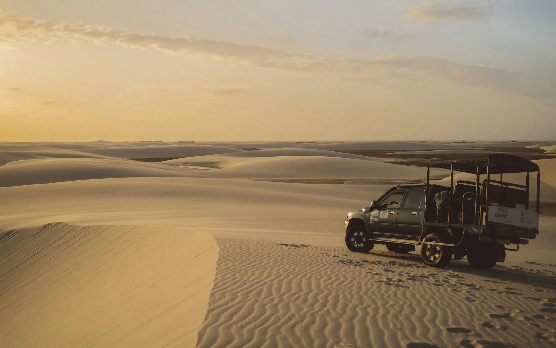
The first part of Brazil to be colonized. It was also the destination for most of the enslaved Africans brought to the Americas, far more than arrived in North America. That history built a culture that is its own: candomblé, capoeira, samba de roda, forró, and a cuisine built on dendê palm oil, coconut milk, seafood and West African technique.
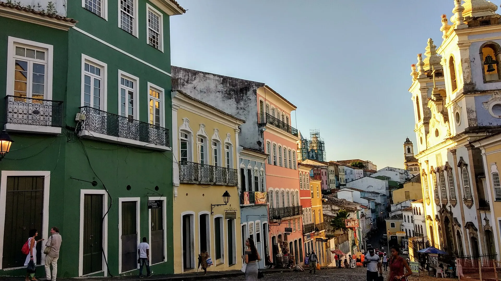
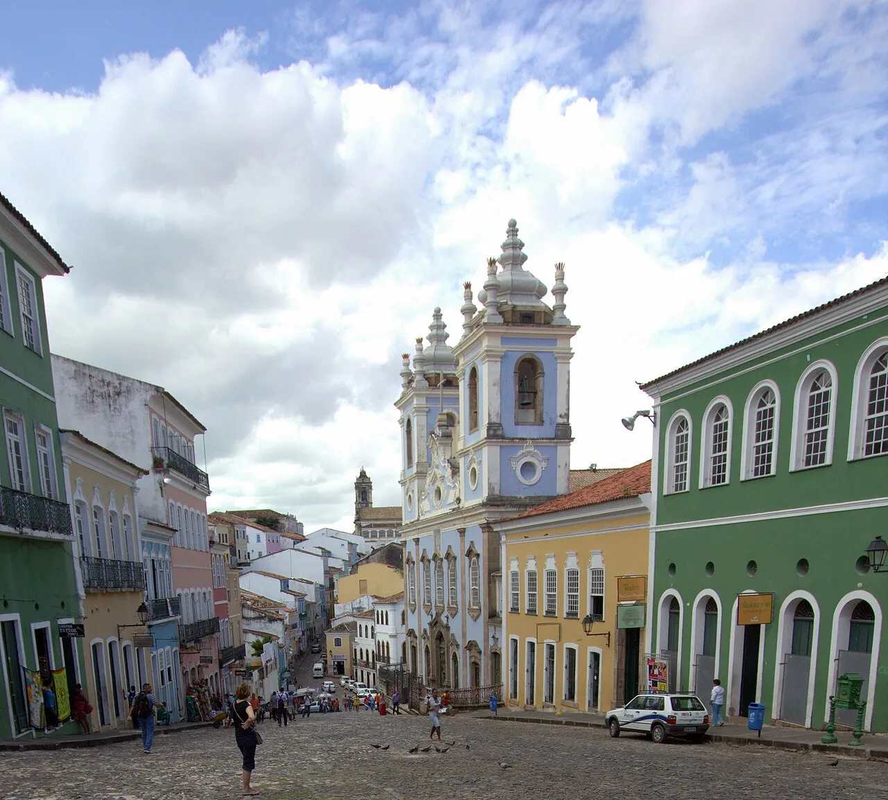
Salvador holds the most of it. It served as Brazil's capital for over two centuries, and its historic center, the Pelourinho, is a UNESCO site of pastel baroque churches on steep cobbled streets. It is a living city, not a museum. That's both its appeal and the reason it rewards a good local guide.
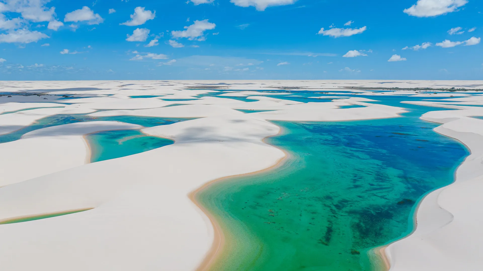
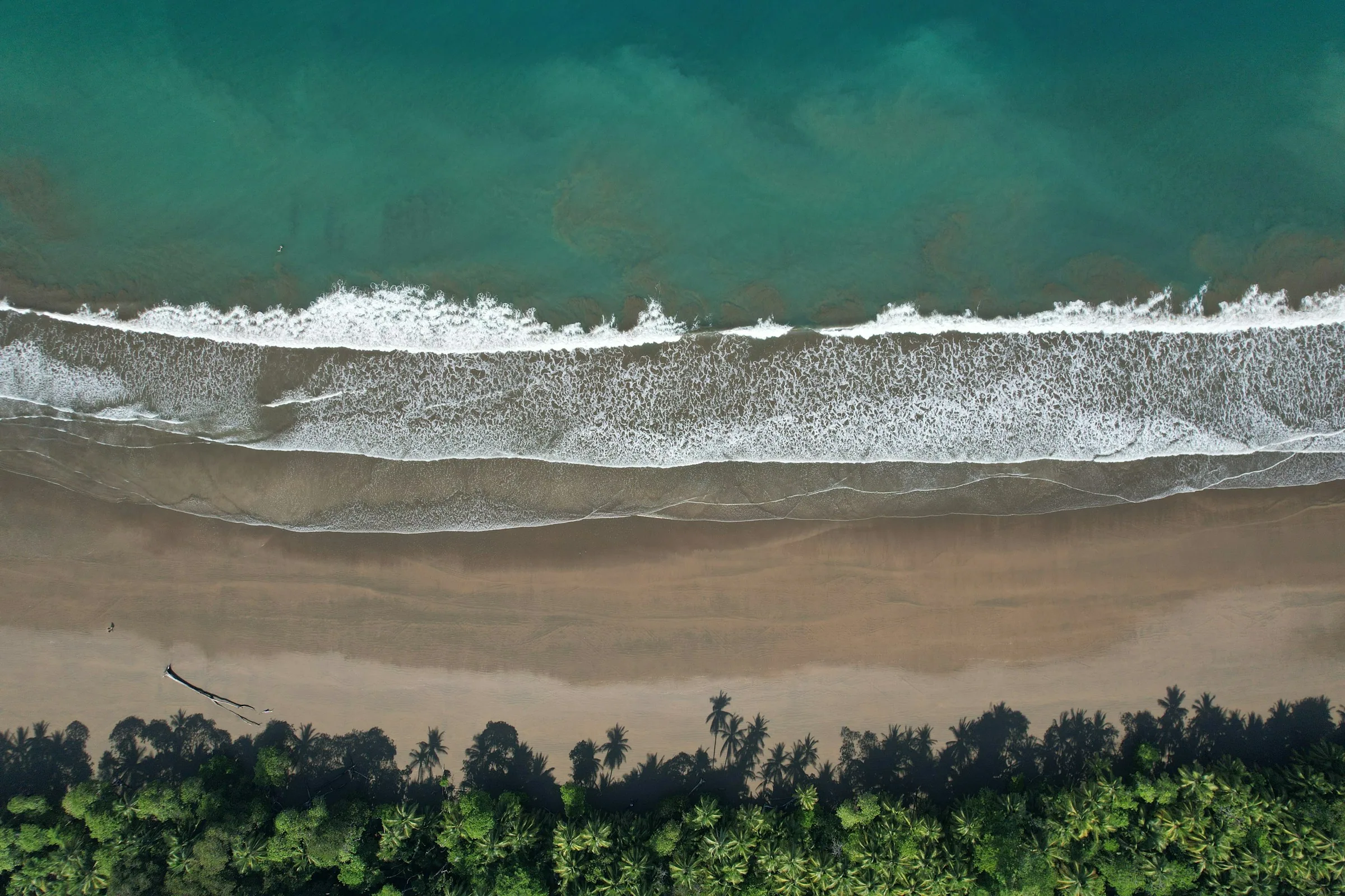
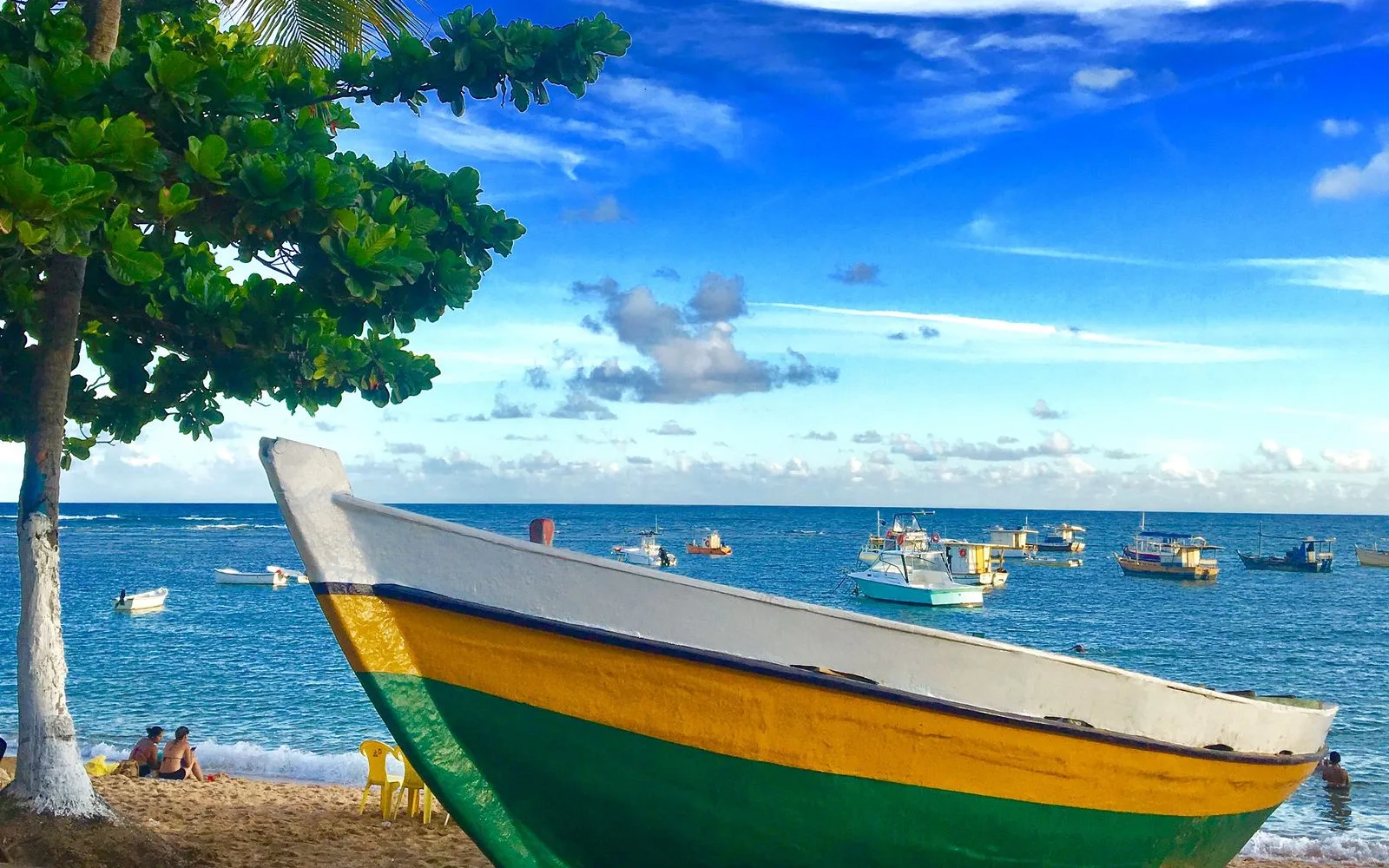
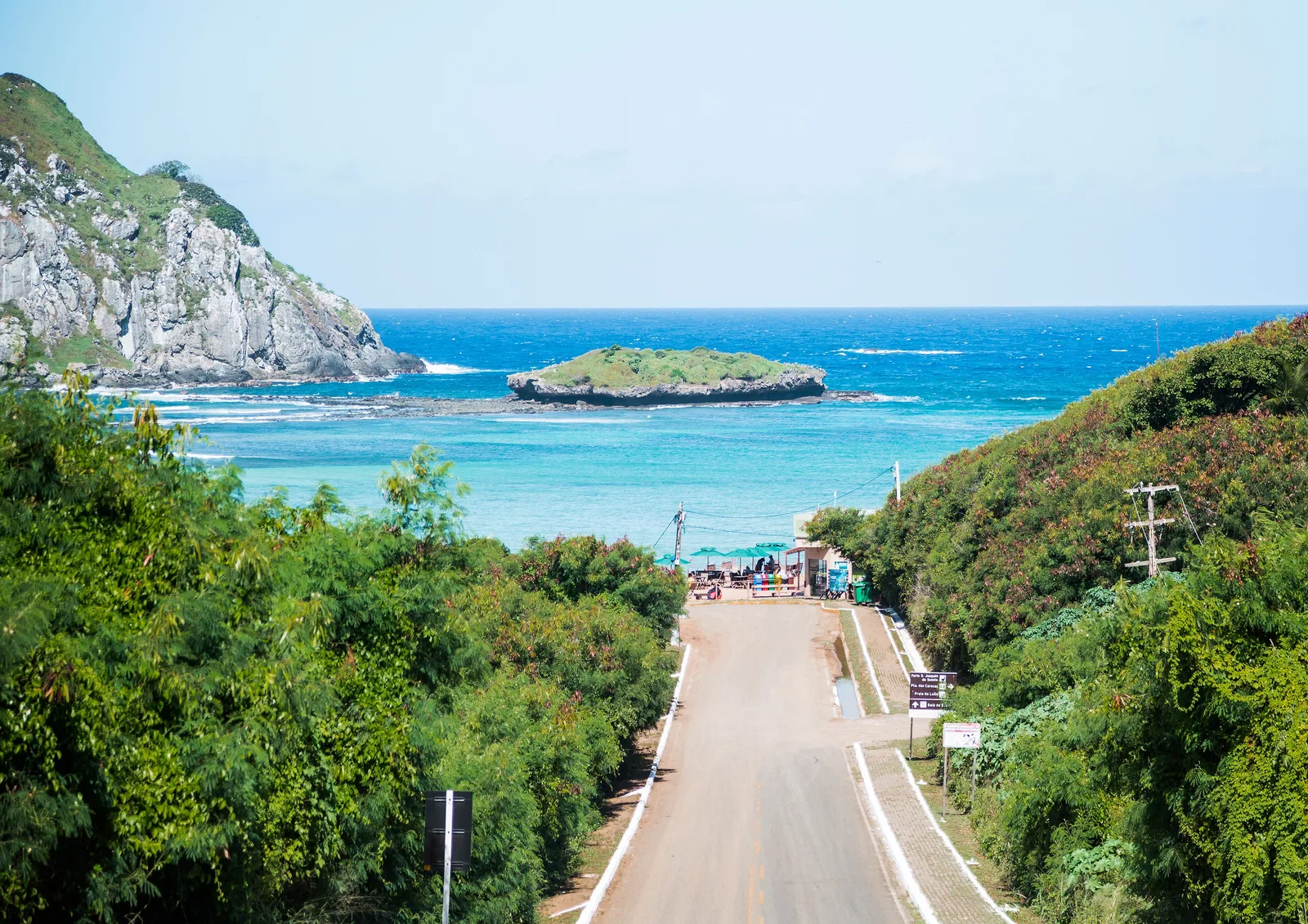
Then there's the coast. Warm water year-round, reef pools you can walk out to at low tide, and a string of beach towns from Praia do Forte and Porto de Galinhas up to Jericoacoara. Inland sit two landscapes that don't look like they belong on the same continent: the table mountains and waterfalls of the Chapada Diamantina, and the Lençóis Maranhenses, a field of white dunes that fills with thousands of freshwater lagoons every rainy season.
Where to go in the Northeast
-
Bahia · 3–4 nights
Salvador & Bahia
Salvador served as the capital of Portuguese Brazil from 1549 to 1763, and its port handled more of the Atlantic slave trade than any other in the Americas. Its historic upper town, the Pelourinho, packs baroque churches and 17th- and 18th-century houses into a dense grid, painted in colors you wouldn't otherwise put together.
The culture here is not archived. Capoeira plays out in the squares, candomblé terreiros stay active, and Olodum drums through the streets on Tuesday nights. The food culture, acarajé, moqueca, vatapá, stands apart from anywhere else in Brazil. South of the city, the Bahian coast runs through Morro de São Paulo, Itacaré and the cacao country around Ilhéus.
- The Pelourinho and the gold-drenched interior of São Francisco church
- Acarajé from a baiana's stall, a religious offering as much as street food
- A candomblé or capoeira experience arranged through people who belong to it
- Moqueca and the dendê-based Bahian kitchen
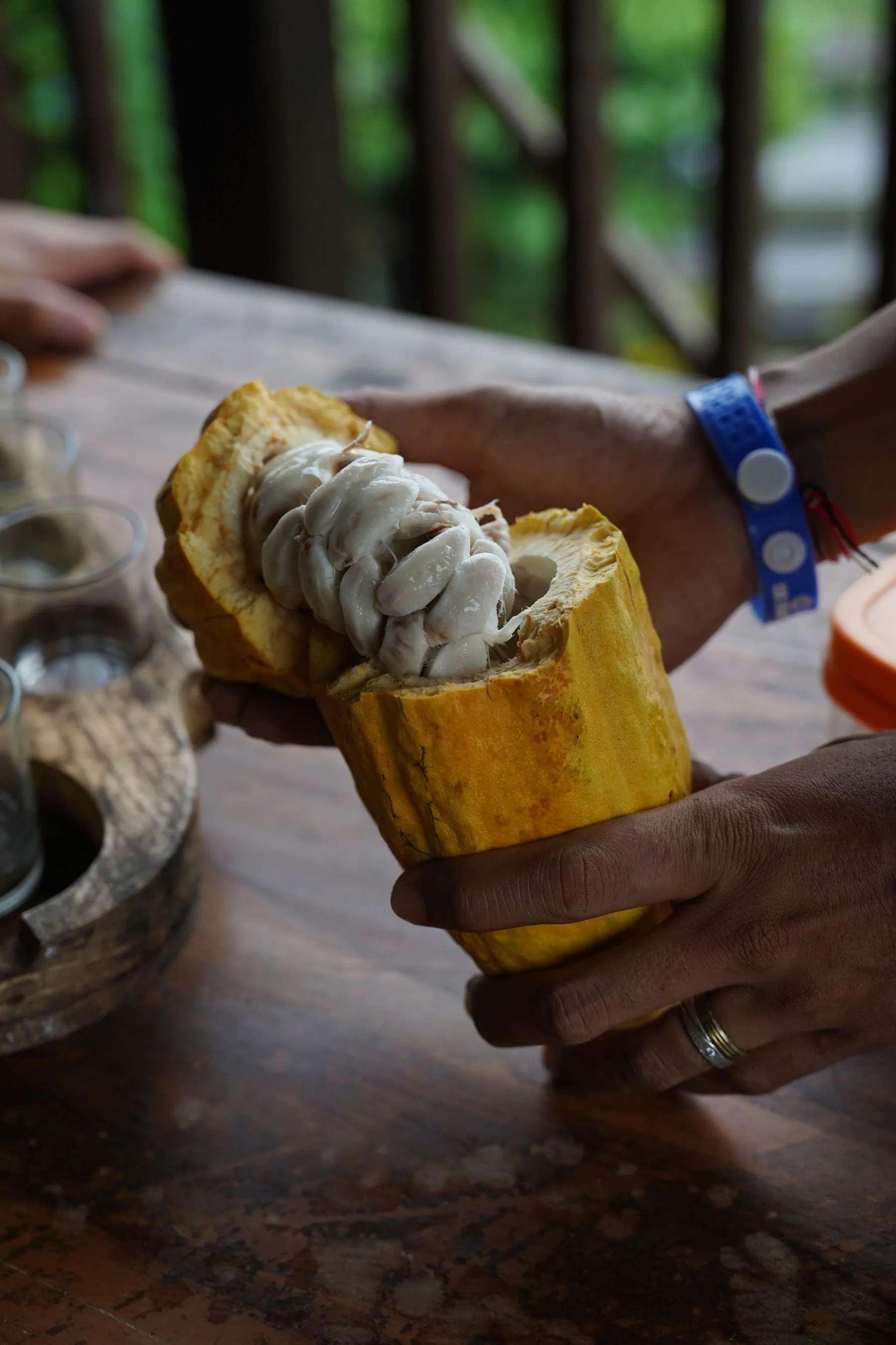
- The cacao coast south toward Itacaré and Ilhéus
-
Bahia · 2–3 nights
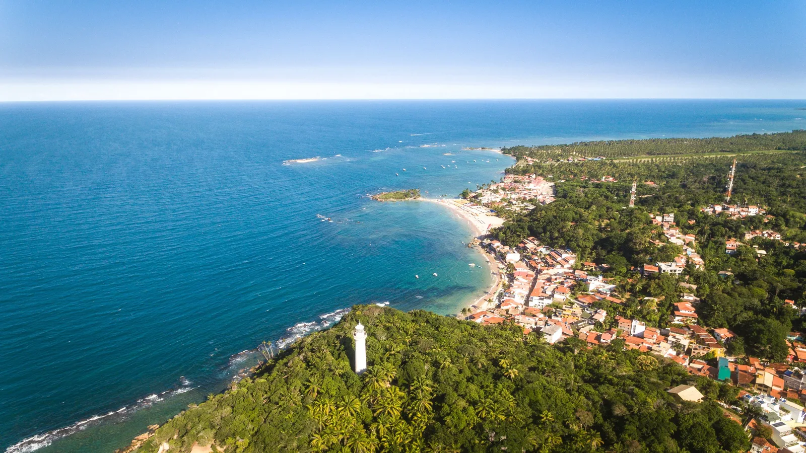
Morro de São Paulo
Two and a half hours south of Salvador by catamaran, on the island of Tinharé. There are no cars. Bags go up from the pier by wheelbarrow, and the whole place is strung along one east-facing shore whose beaches are numbered rather than named — Primeira through Quarta, getting quieter as you walk south.
It is the natural two or three nights after Salvador, and the choice of beach is the choice of trip: Segunda is where the bars and the music are, Terceira is quiet enough to sleep and close enough to walk to dinner, and Quarta is the long empty end. Boipeba, the next island south, is the day most visitors add.
- Four numbered beaches on one walkable shore, no cars anywhere
- The 17th-century fort and the 1855 lighthouse above the village
- Reef pools at low tide off Terceira and Quarta
- Boipeba and Garapuá by boat, and the day-long Volta à Ilha
- A catamaran from Salvador that is rerouted, not canceled, when the sea is up
-
Maranhão · 3–4 nights
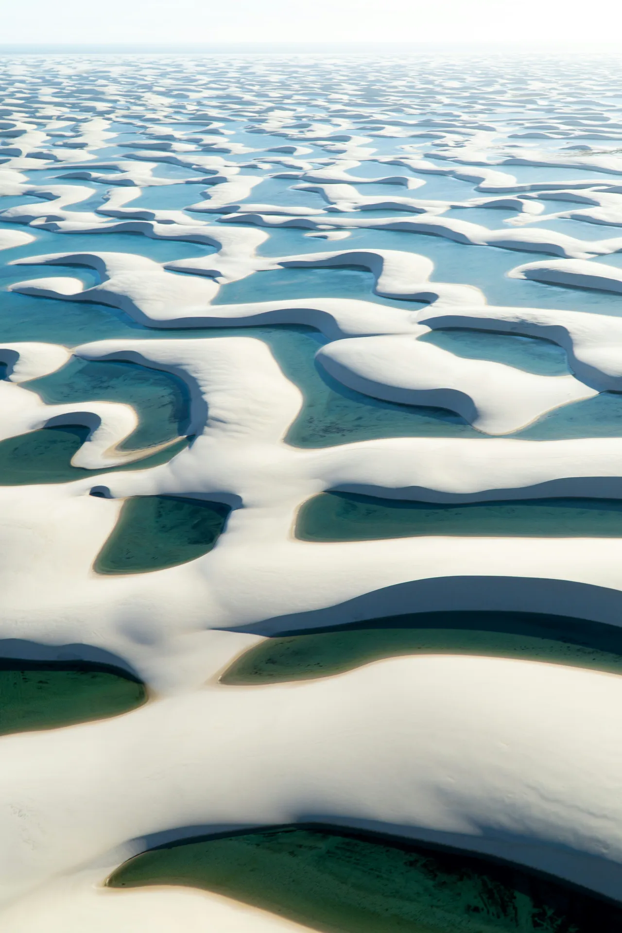
Lençóis Maranhenses
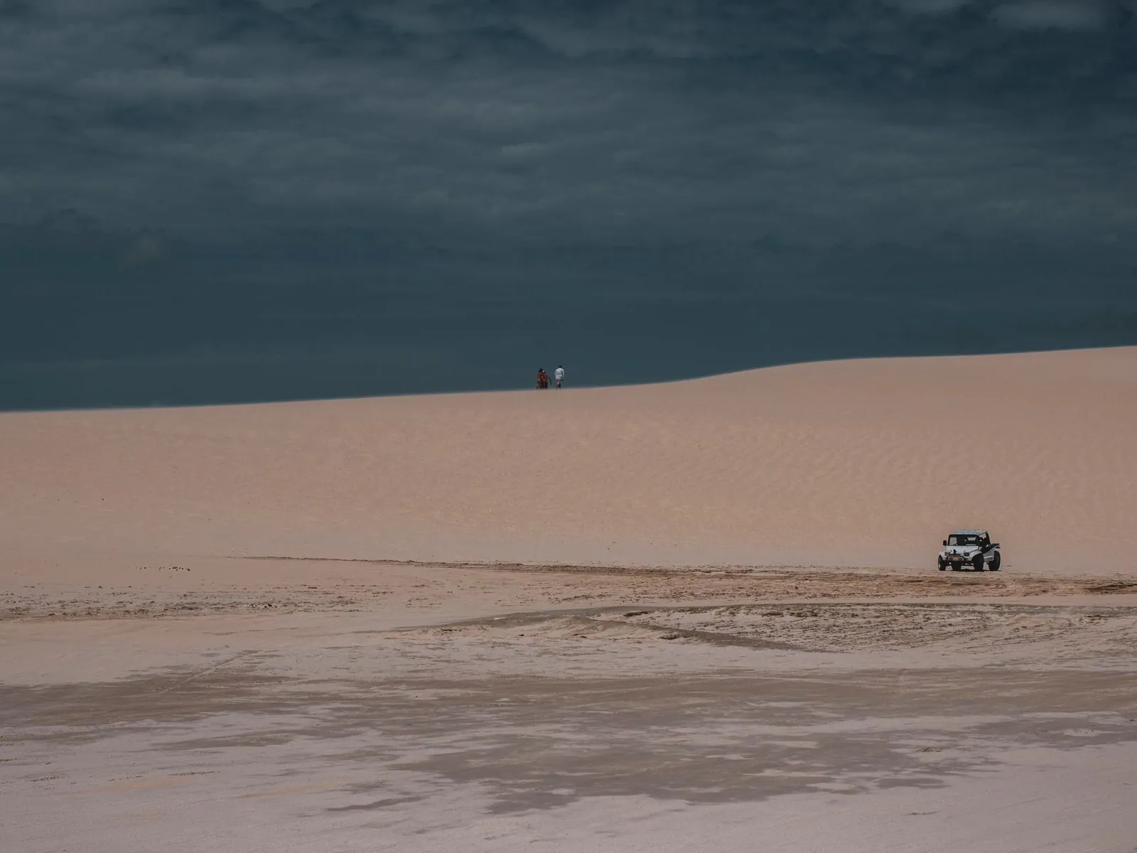
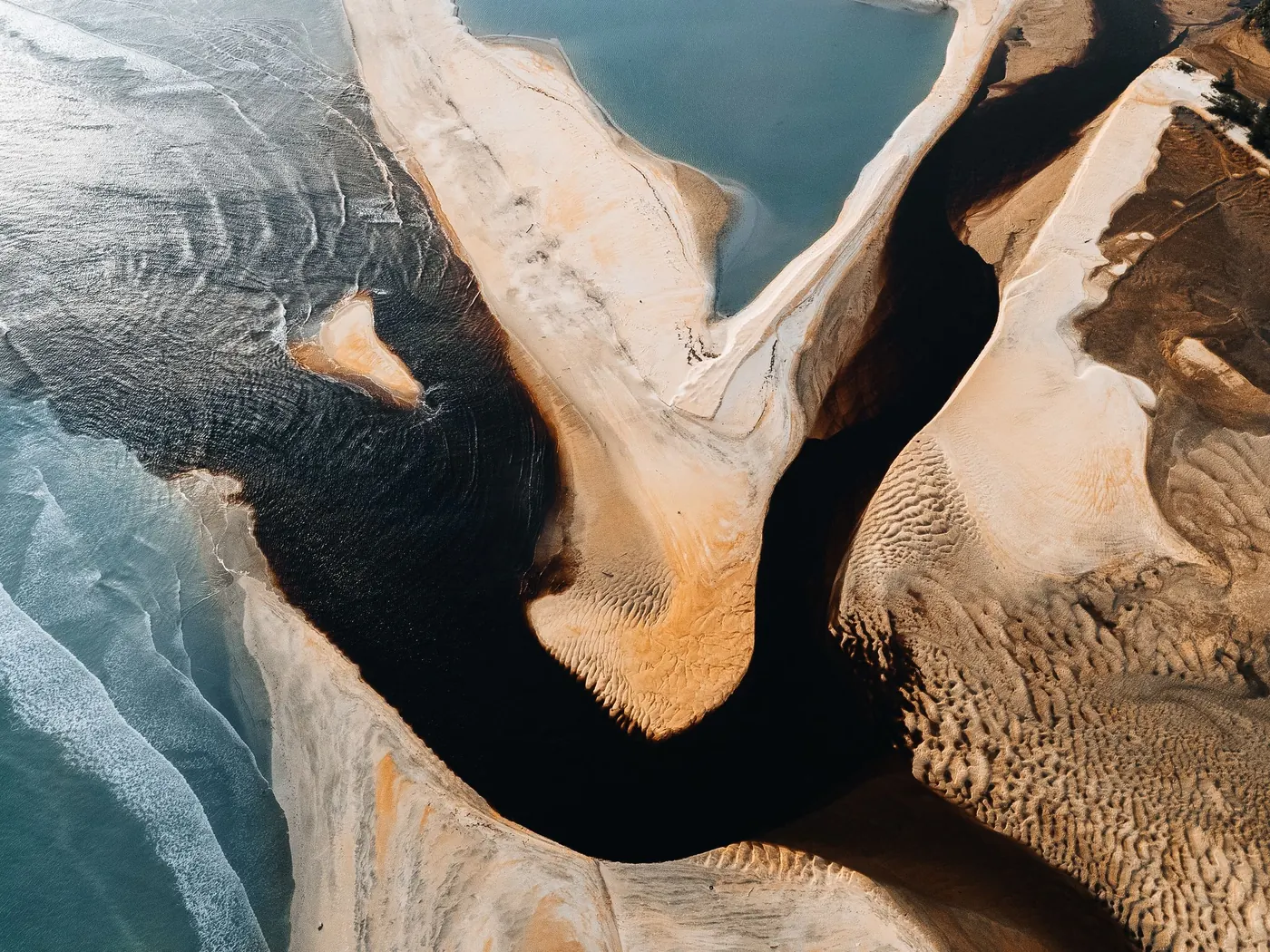
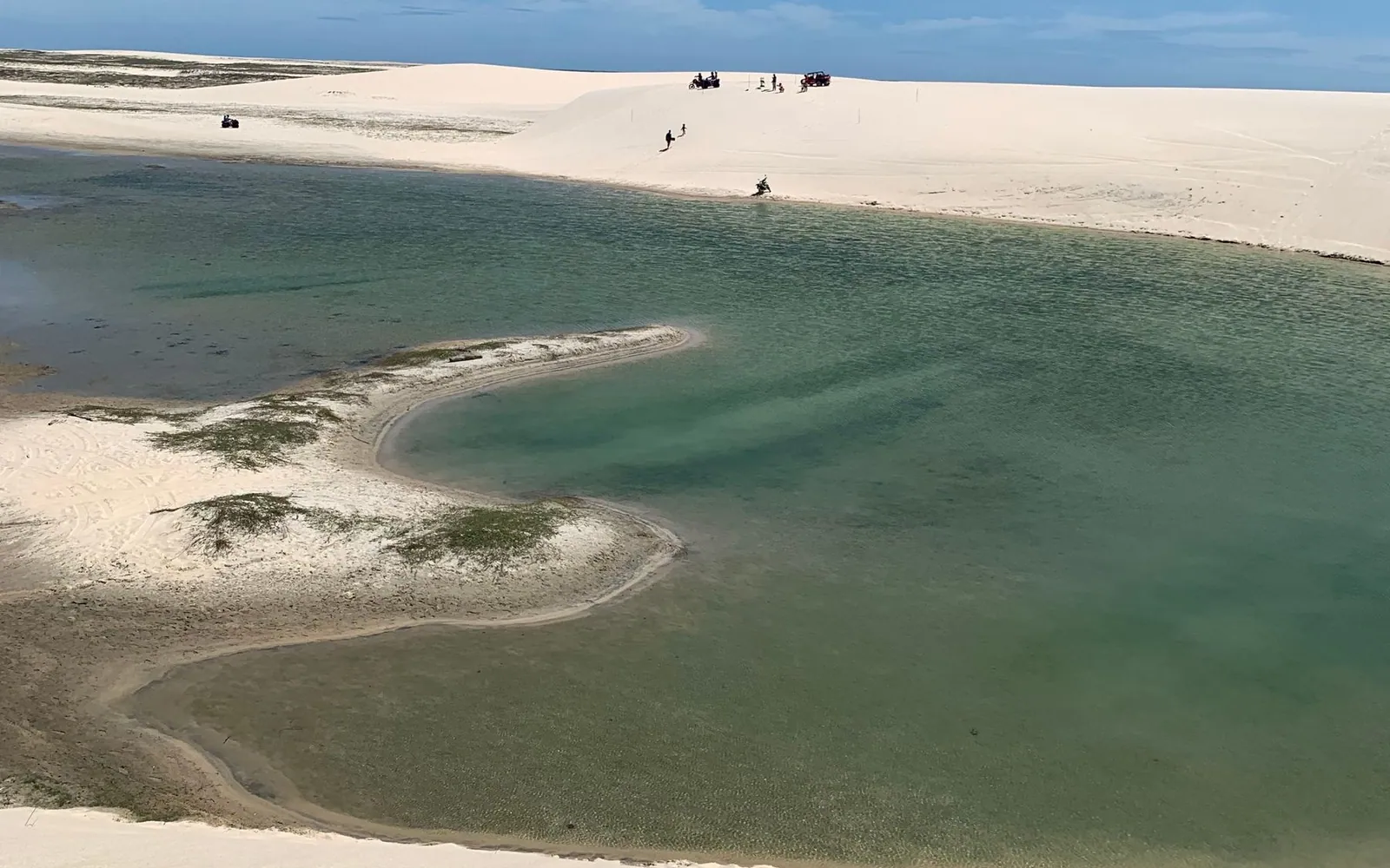
A 1,500 square kilometer field of white sand dunes, and it is not a desert. It gets around 1,600mm of rain a year, roughly three hundred times what falls on the Sahara. That rain collects in the valleys between the dunes, sitting on impermeable rock beneath the sand, and forms thousands of clear freshwater lagoons.
The lagoons fill from about June and drain through the second half of the year. ICMBio names no month as the fullest, so nor do we; on the rainfall August is the pick, effectively dry with the water still holding. Barreirinhas makes the easiest base. Atins and Santo Amaro suit quieter stays. The best version of a visit is the multi-day crossing on foot, sleeping in oasis settlements between the dunes.
- Swimming in dune lagoons with nothing else in sight
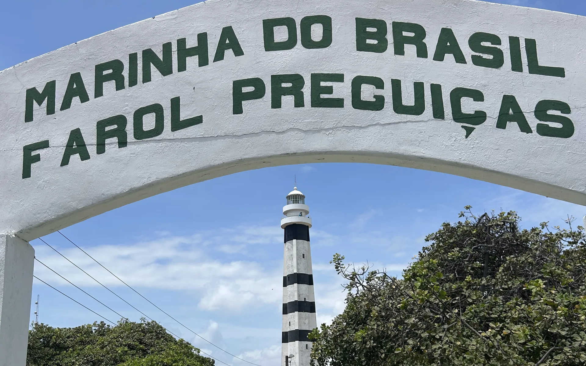
- The Rio Preguiças boat trip to Mandacaru lighthouse
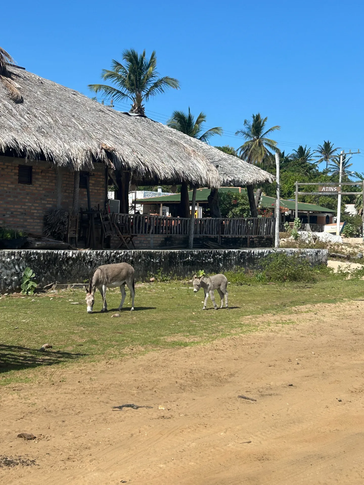
- Atins, a sand-street village at the meeting of river and sea
- The multi-day dune crossing, for the full version of the trip
- Flying over the dune field to see its full size
-
Maranhão · 5 nights
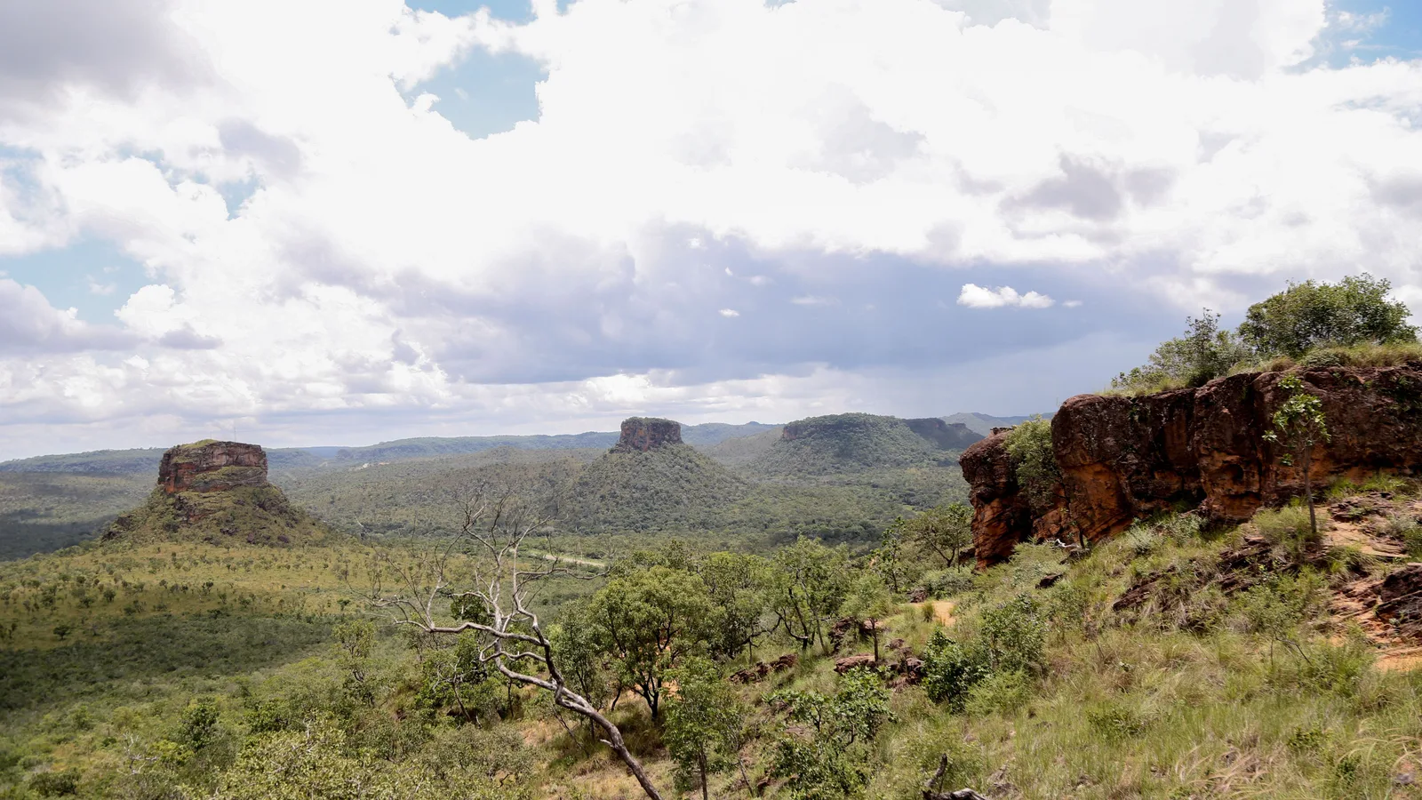
Chapada das Mesas
Flat-topped sandstone mountains standing over the cerrado at the far southern end of Maranhão, where the state meets Tocantins along the river. Spring-fed rivers drop over rock ledges between them in some of the biggest waterfalls in the state, and a few collect in pools so clear they look dyed.
Carolina, on the Rio Tocantins, is the base, and the getting there is the real planning: the nearest airport is Imperatriz, about three and a half hours away, and most of its flights land in the middle of the night. A different trip from the Lençóis in the same state, and a swimming trip where the Chapada Diamantina is a hiking one.
- The Cachoeira de São Romão and the Prata, two of the biggest falls in Maranhão
- Pedra Caída and the canyon walk to the Santuário fall
- The blue pool at Poço Azul, near Riachão
- The Portal da Chapada and its view over the mesas
- The riverfront at Carolina
-
Ceará · 4–5 nights
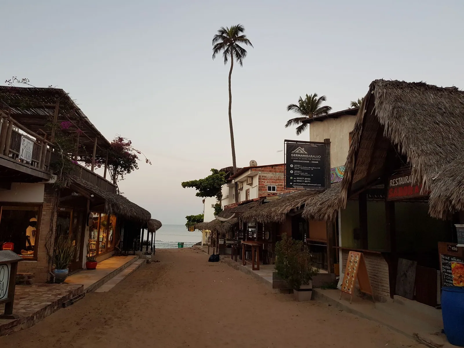
Jericoacoara
Jericoacoara began as a fishing village inside a national park, with no paved roads, no street lights and, for a long time, no electricity. It still has sand streets, and everyone still walks up the big dune to watch the sunset. It's well-known now, but the protections have held, and it has aged better than most places that get discovered.
The wind is the thing to time a trip around. It blows hardest from about July into January, which is also the dry half of the year, and that is when the kite and windsurf crowd fills the village. Getting in still means a transfer over sand for the last stretch, so Jeri stays harder to reach than the map makes it look.
- Sunset from the Duna do Pôr do Sol, a nightly village ritual
- The Pedra Furada rock arch at low tide
- Lagoa do Paraíso and its hammocks set in the water
- Kitesurfing, strong here from July to January
- Buggy runs west along the coast and east to the lagoons
-
Bahia · 4–5 nights
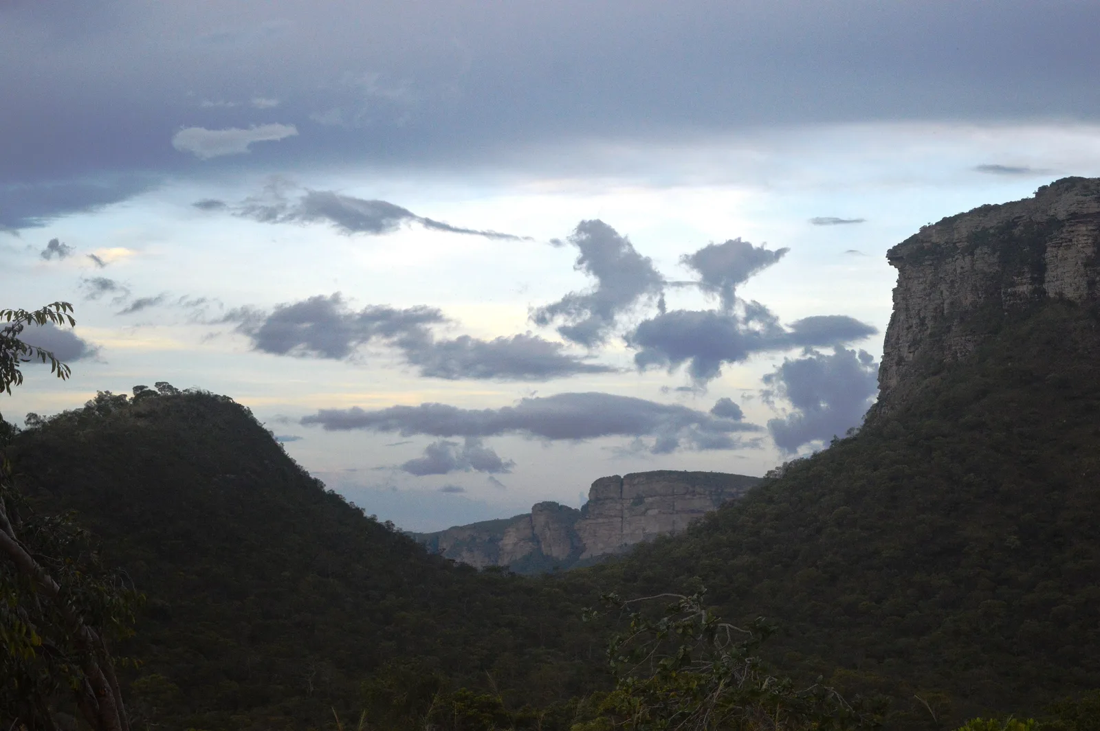
Chapada Diamantina
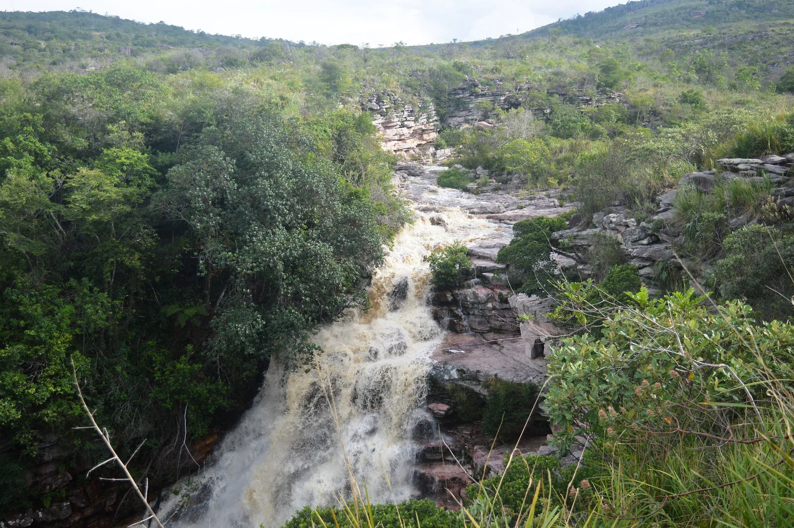
Six hours inland from Salvador sits a national park of flat-topped mountains, canyons, caves and waterfalls, including Cachoeira da Fumaça, one of the tallest in Brazil at around 340 meters. Diamond mining built this region in the 19th century, and old towns like Lençóis — the Bahian one, not the Maranhense dunes — and Mucugê survive from it.
This is the hiking half of Bahia. Take day walks to swimming holes and blue grottoes, or a multi-day traverse of the Vale do Pati. People often call it the best trek in the country, and it includes staying with families in the valley.
- The Vale do Pati traverse, three to five days with local hosts
- Cachoeira da Fumaça seen from the top of the drop
- Poço Encantado and Poço Azul, underground pools lit by shafts of light
- The old mining town of Lençóis as a base
- Morro do Pai Inácio at sunset
-
Pernambuco · 4–5 nights
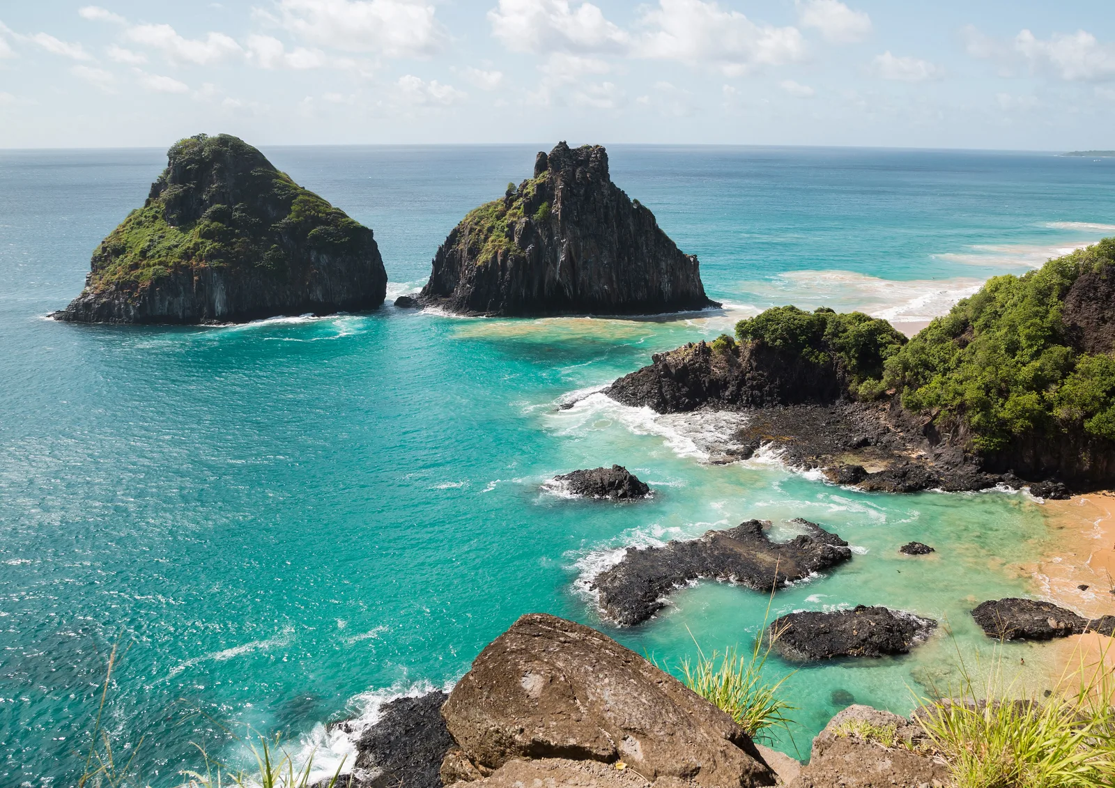
Fernando de Noronha
A volcanic archipelago 350 kilometers offshore, and a UNESCO site. It is also one of the most protected and most expensive places to travel in Brazil. Visitor numbers are capped, a daily environmental fee applies, and access to the marine park stays limited. That's exactly why the diving and snorkeling here rank as the best in the country.
Spinner dolphins come into Baía dos Golfinhos most mornings and sea turtles are there year-round. What actually decides the trip, though, is the arithmetic: a per-day environmental tax, a separate national park ticket on top of it, and flights from only two mainland cities. The destination page prices a week.
- Baía do Sancho, reached by a ladder through a cleft in the cliff
- Spinner dolphins at dawn in Baía dos Golfinhos
- Diving and snorkeling on the sheltered mar de dentro
- Baía dos Porcos and the view to Morro Dois Irmãos
- Sunset from Forte dos Remédios
-
Bahia · 2–4 nights
Praia do Forte & the Bahian coast
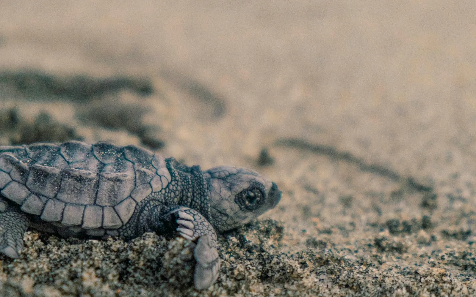
An hour north of Salvador, Praia do Forte offers the easiest beach base in the Northeast. It's a former fishing village with one pedestrian street, natural reef pools at low tide, and the headquarters of Projeto Tamar, Brazil's sea turtle conservation program.
It works well as a soft landing at either end of a busier trip, and as a base for the Costa dos Coqueiros running north toward Imbassaí and Mangue Seco.
- Reef pools that form at low tide, safe for any age
- Projeto Tamar and turtle hatchling releases in season
- Whale watching from July to October
- The Garcia D'Ávila castle ruins, the oldest in Brazil
- Quiet beaches north along the Costa dos Coqueiros
-
Bahia · 4–5 nights
Porto Seguro & Trancoso
The coast where Portugal first sighted Brazil in 1500, and today one municipality with a town and three villages in it that could not be less alike. Porto Seguro has the airport, a listed hill town and the big party beaches. Across the river by ferry, Arraial d’Ajuda sits on a hill over reef-sheltered beaches.
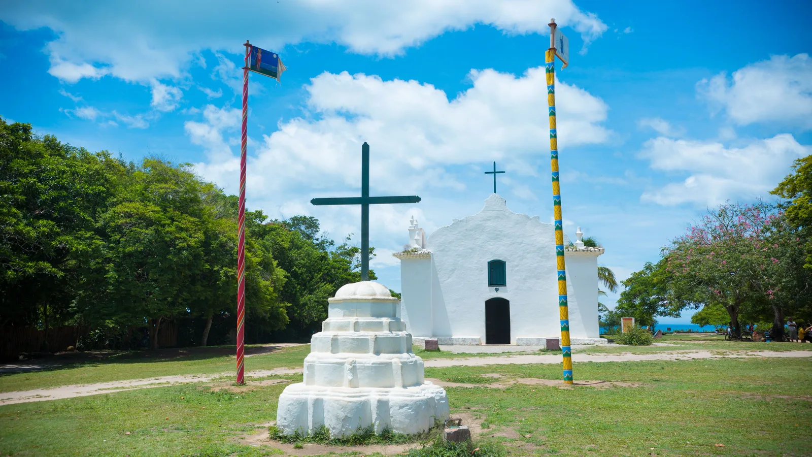
Trancoso is the one people actually come for: a village laid out around a long grass square with a white church at the end, and rooms and restaurants at the top of the local market. Further south the road runs out at Caraíva, a village with no cars at all.
- The Quadrado at Trancoso and its white church
- Porto Seguro’s Cidade Alta, the old town on the hill
- Arraial d’Ajuda and its beaches, timed by the tide
- Praia do Espelho at low tide
- Caraíva, reached by canoe across the river
-
Pernambuco · 3–4 nights
Recife & Olinda
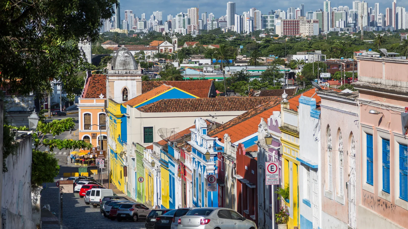
Olinda is the old hill town: painted houses and baroque churches on a slope above the coast, small enough to walk in an afternoon and steep enough that you feel it afterward. Recife is the city that grew up below and around it, built across rivers and islands, with a restored old quarter at Marco Zero and a long wall of apartment towers standing behind Boa Viagem beach.
They sit close enough to treat as one stop, and almost everyone does. Carnival here is street Carnival rather than the stadium version, frevo in Olinda and the Galo da Madrugada in Recife. Boa Viagem, though, is a beach you walk rather than swim, and the destination page sets out exactly why before you book a hotel on it.
- Olinda's historic center, best walked uphill late in the afternoon
- Marco Zero and the restored streets of Recife Antigo
- Frevo and maracatu, which belong to Pernambuco rather than to Brazil generally
- The Instituto Ricardo Brennand collections on the western edge of the city
- The coast running south toward Porto de Galinhas
-
Pernambuco · 3–4 nights
Porto de Galinhas
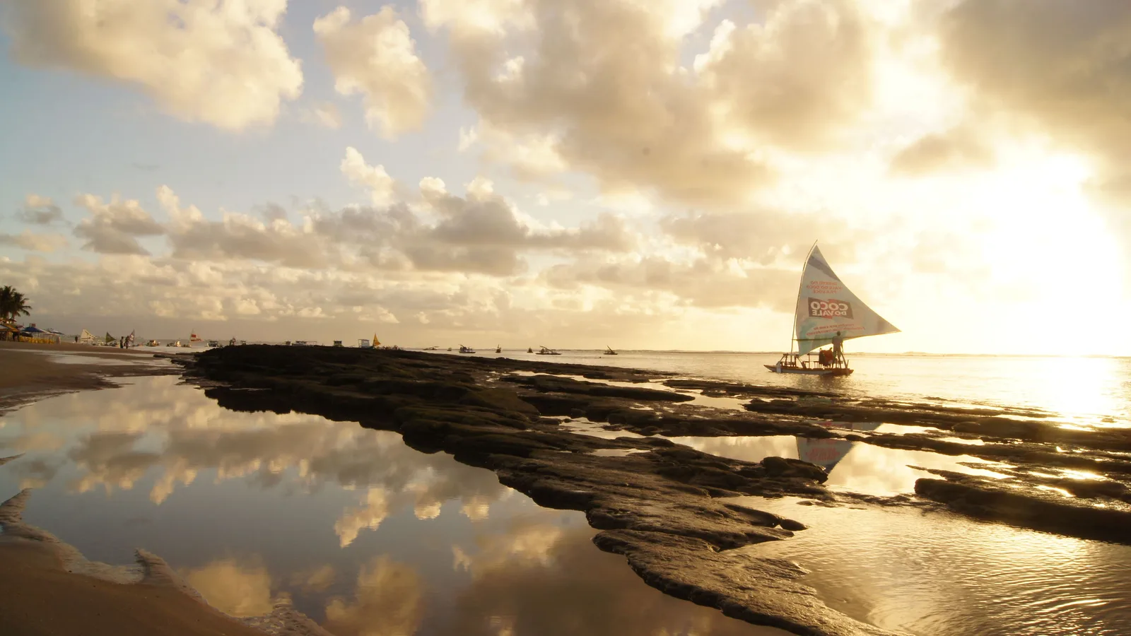
A short drive south of Recife's airport, and the whole visit turns on the tide. A reef sits offshore, and when the water drops it leaves a line of clear pools between the rock and the sand. When the water is up, they are simply sea, and there is nothing to see.
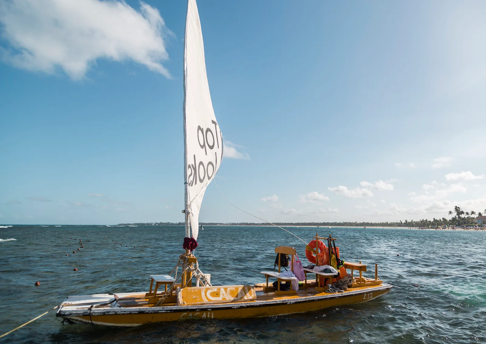
That makes this the one place in the region you plan around a tide table rather than a forecast. Jangadas, the local sailing rafts, carry people out to the pools at low water. The village behind the beach is compact and busy, and the quieter sand runs north to Muro Alto and south to Maracaípe.
- The reef pools, which exist only at low tide and only then
- A jangada out to the pools at low water
- Muro Alto to the north and Maracaípe to the south, both quieter
- Buggy runs along the coast, priced per buggy rather than per person
- An easy first or last stop on a run down the northeast coast
-
Alagoas · 4–5 nights
Maceió
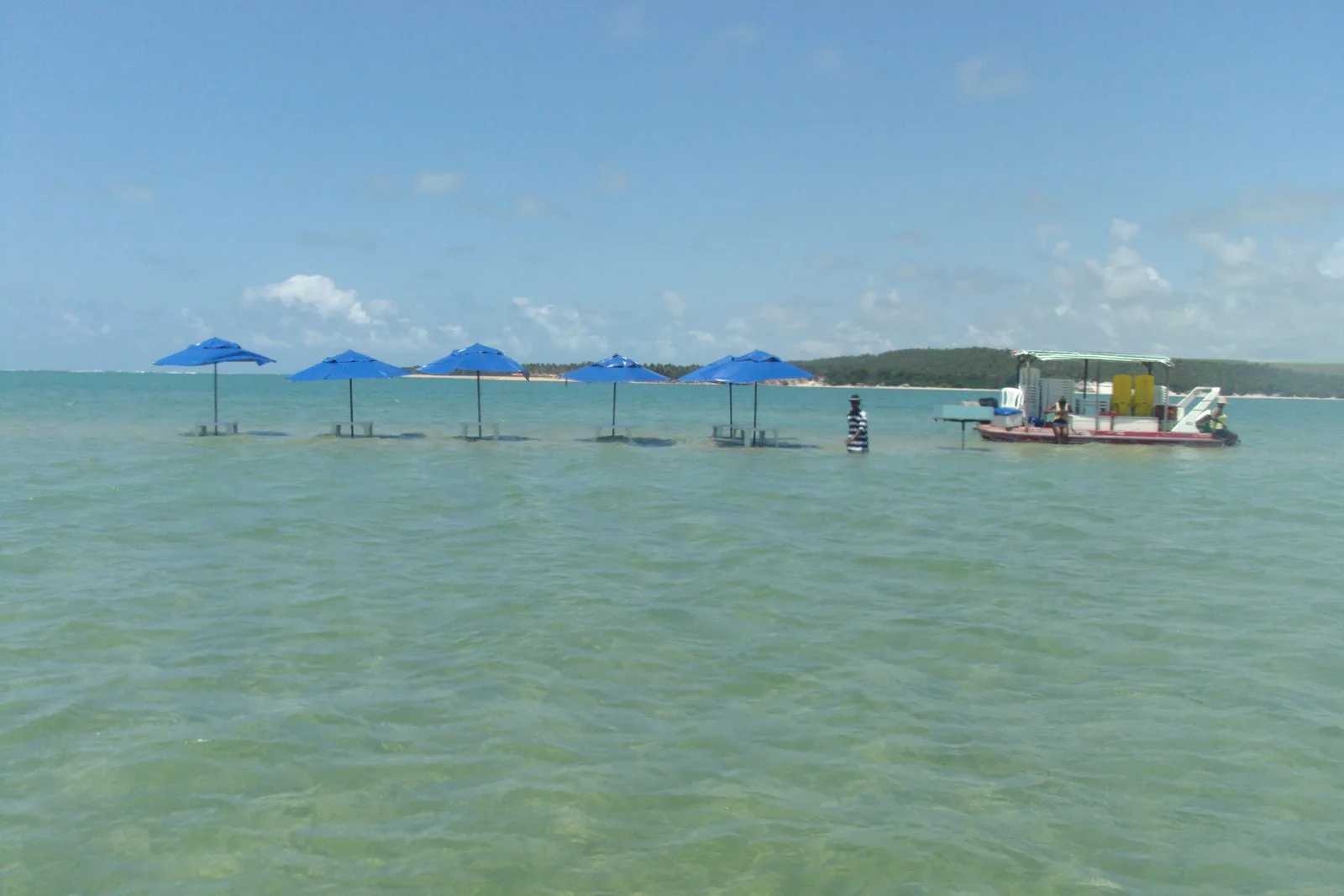
The capital of Alagoas, and a beach city where the reef does the work. A reef line runs offshore along the city's own front, so the water inside it stays flat, shallow and green, and stays swimmable in the middle of a working city rather than an hour outside one.
What earns it more than a night is the coast either side. South are Praia do Francês, Barra de São Miguel and Gunga, where a lagoon meets the sea. North the coast runs toward Maragogi, which is a long day out rather than a second base. Maceió is the place you sleep while you do both.
- Flat reef-protected water along the city's own seafront
- Praia do Francês and Barra de São Miguel to the south
- Gunga, where the lagoon and the ocean meet
- The Maragogi reef, a long day north
- One hotel for the whole stay, in a city that has the coast on both sides of it
-
Ceará · 3–4 nights
Fortaleza
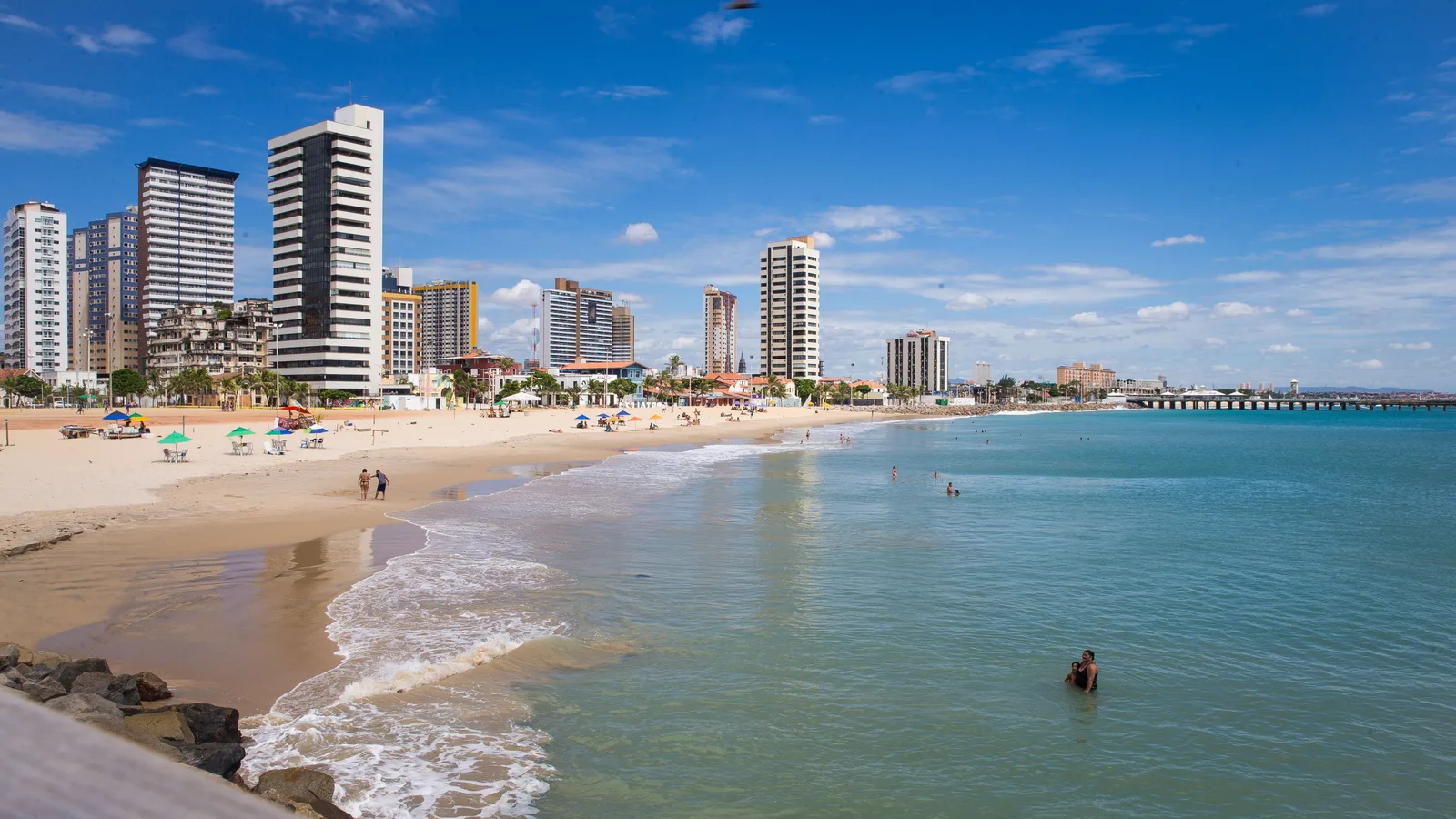
The airport for this whole stretch of coast, and a beach city in its own right rather than somewhere to change planes. Apartment towers stand behind a long swimming beach, the Beira Mar promenade runs for kilometers, and the city's own beach culture is east at Praia do Futuro, where the barracas are the point rather than the scenery.
It works as the bookend to a Ceará trip: a couple of days in the city, then a day out along each coast. West are the dune beaches and the road that eventually reaches Jericoacoara. East are the cliffs and the quieter sand. Most people give it a morning between flights, which is the habit this page argues with.
- Praia do Futuro and its barracas, where the city itself goes
- The Beira Mar promenade, walkable end to end
- The Theatro José de Alencar in the old center
- A day west to the dunes, and a day east to the cliffs
- The flight everyone takes to reach the Ceará coast
-
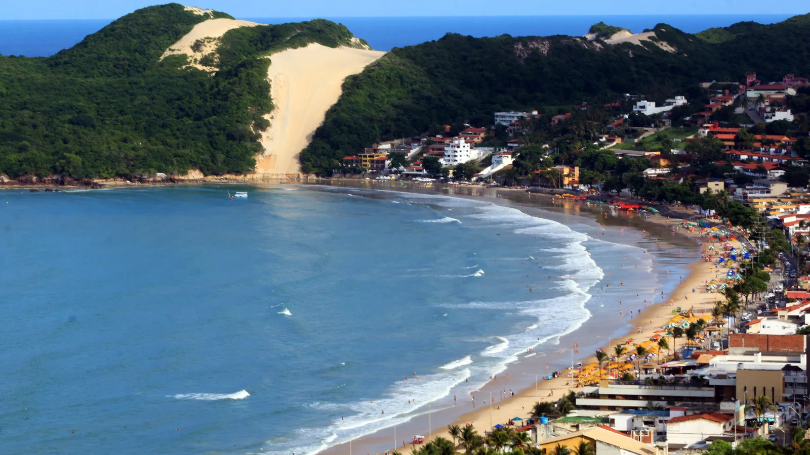
Rio Grande do Norte · 3–4 nights
Natal
The sunniest coastal city in Brazil, and the airport for the whole of Rio Grande do Norte. Ponta Negra is the beach most people stay on, with the dune of Morro do Careca closing its far end, and the city keeps a star fort begun in 1598 on a reef at the mouth of its river.
What it has that the other capitals on this coast do not is the sand. North of the city the Genipabu dunes are driven by buggy and the reef at Maracajaú surfaces at low tide; south there is a cashew tree the size of a city block. Pipa is about an hour and a half south and has its own page.
- Ponta Negra and Morro do Careca
- The buggy day across the Genipabu dunes
- The Fortaleza dos Reis Magos
- The parrachos, the offshore reef pools
- The giant cashew tree at Pirangi
-
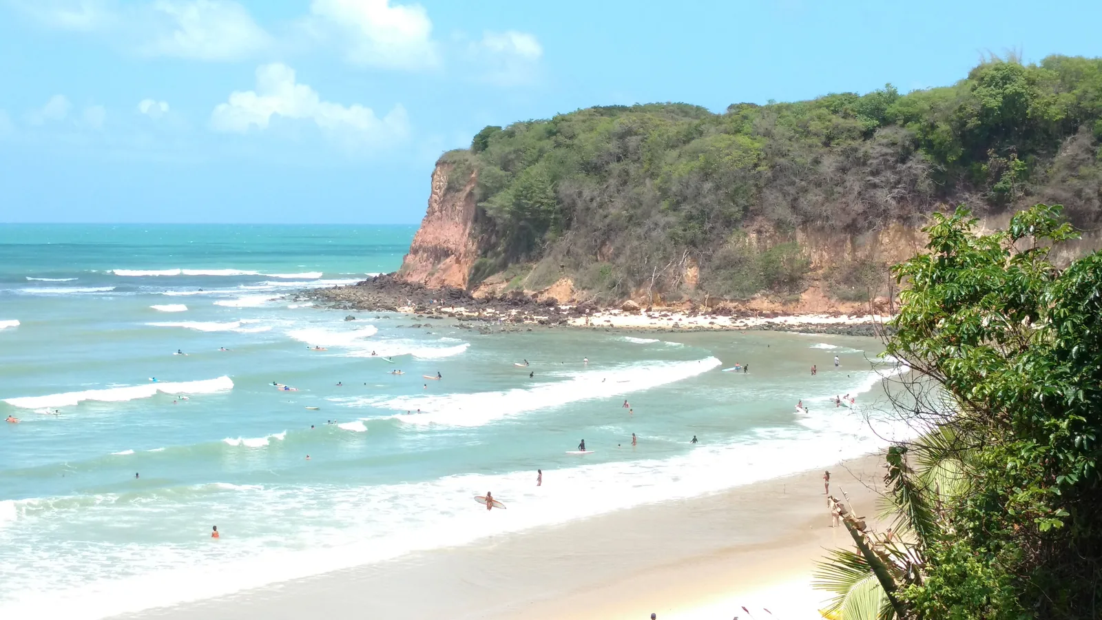
Rio Grande do Norte · 3–4 nights
Pipa
A village on top of a red cliff, on a coast that is almost all cliff, with a string of coves at the bottom of it. You are not choosing a beach here, you are choosing which cove, and you walk between them along the sand.
The tide runs the day. The Baía dos Golfinhos, where dolphins live year-round, is reached on foot only at low water, so the first thing to check is the tide table rather than the forecast. Natal's airport is about an hour and a half north.
- The low-tide walk to the Baía dos Golfinhos
- Praia do Amor and the Chapadão lookout
- Praia do Madeiro
- The village and its one main street
More of the Northeast

When to go to the Northeast
The Northeast is warm all year - the variable is rain, and it does not fall at the same time along the whole coast. Salvador and Recife are wettest from April to July; Ceará and Maranhão from January to June. The Lençóis lagoons run on their own clock, filling after those northern rains. October is the region's peak because most of the coast is at its driest and brightest then, but Pernambuco and Alagoas do not peak until November, and the Lençóis and the Chapada Diamantina peak in August and July.
- Best — The one or two peak months
- Good — A real recommendation
- Trade-offs — Workable, with a catch
- Jan
Hot, dry and festive in Bahia, wet further north in Ceará and Maranhão. Peak Brazilian holiday season.
- Feb
Salvador's Carnival is the largest street party in the world. Sunny in Bahia, rain building in the north.
- Mar
Still warm and mostly dry in Bahia. The northern coast stays wet.
- Apr
Rain arrives on the Bahia and Pernambuco coast. Cheaper and quieter, with real sunshine between showers.
- May
The wettest stretch for Salvador and Recife. The Lençóis lagoons begin filling.
- Jun
Rain eases, Festa Junina takes over the interior, and the Lençóis lagoons come up.
- Jul
The Chapada Diamantina's own peak, at 41.5 mm and the coolest month of its year. Lagoons full in the Lençóis, humpbacks off the Bahian coast, and dry weather from Ceará north. Brazilian holidays, so book ahead.
- Aug
The Lençóis Maranhenses' own peak: 5.9 mm on a single rain day and 305 hours of sun at Chapadinha, the sunniest month of its year, with the lagoons still holding. Whales off Bahia, and the wind building at Jericoacoara.
- Sep
Dry and clear almost everywhere, and the last of the lagoons still holding around Santo Amaro.
- Oct
The peak: the driest, brightest month on most of this coast. Salvador at 91 mm and 227 hours of sun, Fortaleza at 9.5 mm and 294 hours, Jericoacoara at 2.1 mm with the steadiest wind of its year, and Noronha's dive visibility at its best. Praia do Forte is the one place the last humpbacks and the first nesting turtles overlap.
- Nov
Pernambuco and Alagoas peak now rather than in October: Recife at 39.0 mm on seven rain days and Maceió at 46.9 mm on five, the driest months of their year. Dry and hot the whole way along.
- Dec
Bahia is glorious and filling up. Prices climb hard after the 20th.
Dates worth planning around
-
Salvador Carnival
5-10 February 2027
Two million people and the trios elétricos. There is no ticketed stadium - it happens in the street, and you either join a bloco or watch from a rented balcony.
-
Humpback whale season
July to October
Praia do Forte and the Abrolhos bank. The official Praia do Forte whale page gives July to October, and neither it nor the Instituto Baleia Jubarte names a peak month, so this does not either.
-
Lençóis lagoon season
June to September
ICMBio's own page for the park names no months for when the lagoons are full, so this window is the rainfall's rather than the park's: the water goes in over the first half of the year and drains through the second. The lagoons near Atins dry out first and Santo Amaro holds longest.
-
Festa Junina
Throughout June
Caruaru and Campina Grande run the biggest June festivals in the country.
Getting around the Northeast
Four coastal cities with airports, and a very sharp divide between them. Around Salvador the roads are good and a car sets you free. North of Fortaleza the route turns to sand and you want somebody else driving.
Where to fly into
-
Salvador (SSA)
The main gateway to Bahia, with some direct European routes and constant domestic connections.
-
Recife (REC)
For Pernambuco, and the only practical departure point for Fernando de Noronha.
-
Fortaleza (FOR)
For Ceará and the western end of the Rota das Emoções.
-
São Luís (SLZ)
The way into the Lençóis Maranhenses, via Barreirinhas or Santo Amaro.
Between the places on this list
- 1h15
Salvador to Praia do Forte
Straight up the Linha Verde coast road. Easy self-drive, or a fixed-price transfer.
- 6h
Salvador to Chapada Diamantina
To Lençóis, the town in Bahia. There is also a short flight, and the overnight bus is a genuine option.
- 4h
São Luís to Barreirinhas
Paved the whole way. From there it is 4x4 into the dunes - you do not drive yourself inside the park.
- 4h30
Fortaleza to Jericoacoara
Paved to Jijoca, then sand. Jericoacoara also has its own small airport (JJD).
- 1h20
Recife to Fernando de Noronha
The only practical way in. Book early - seats are limited and there is an environmental fee on arrival.
- 6-9 days
São Luís to Fortaleza
The Rota das Emoções: the overland run linking the Lençóis, the Parnaíba delta and Jericoacoara by 4x4 and boat, done in stages with local drivers.
Once you are there
-
Salvador
Pelourinho is walkable and steep. Use Uber between neighborhoods and after dark, and take the Elevador Lacerda between the upper and lower city - it costs almost nothing.
-
The beach towns
Jericoacoara and Praia do Forte are car-free or close to it. You walk, or you take a buggy.
Should you rent a car?
Yes around Bahia. No in the far north.
The Linha Verde and the roads out of Salvador are well surfaced and signposted, and a car buys you beaches that tour buses never reach. North and west of Fortaleza the tracks are sand, unmarked and tidal in places - that is exactly what the Rota das Emoções operators exist for, and it is not a drive to improvise.
The Northeast is big. Trying to see all of it in one trip is the most common mistake people make. Two hubs and one inland landscape is usually the right shape, and we'll help you pick which.
Get trip adviceAmazonas · Pará · Acre · Rondônia · Roraima · Amapá · Tocantins
North: The Amazon
The North is the Amazon, and the Amazon is close to half of Brazil. It covers nearly 45% of the country's landmass and holds under 9% of its people. Its river system carries about a fifth of all the fresh water that reaches the world's oceans.
- How long to stay
- Four nights minimum, five or six to justify the travel time. Fewer than three and you spend most of it in transit.
- Good for
- Wildlife, rivers, indigenous and riverine culture, and travelers who want somewhere remote.
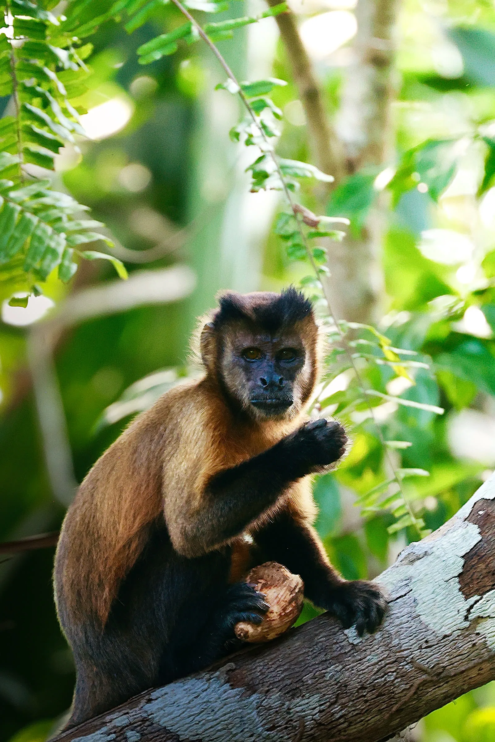

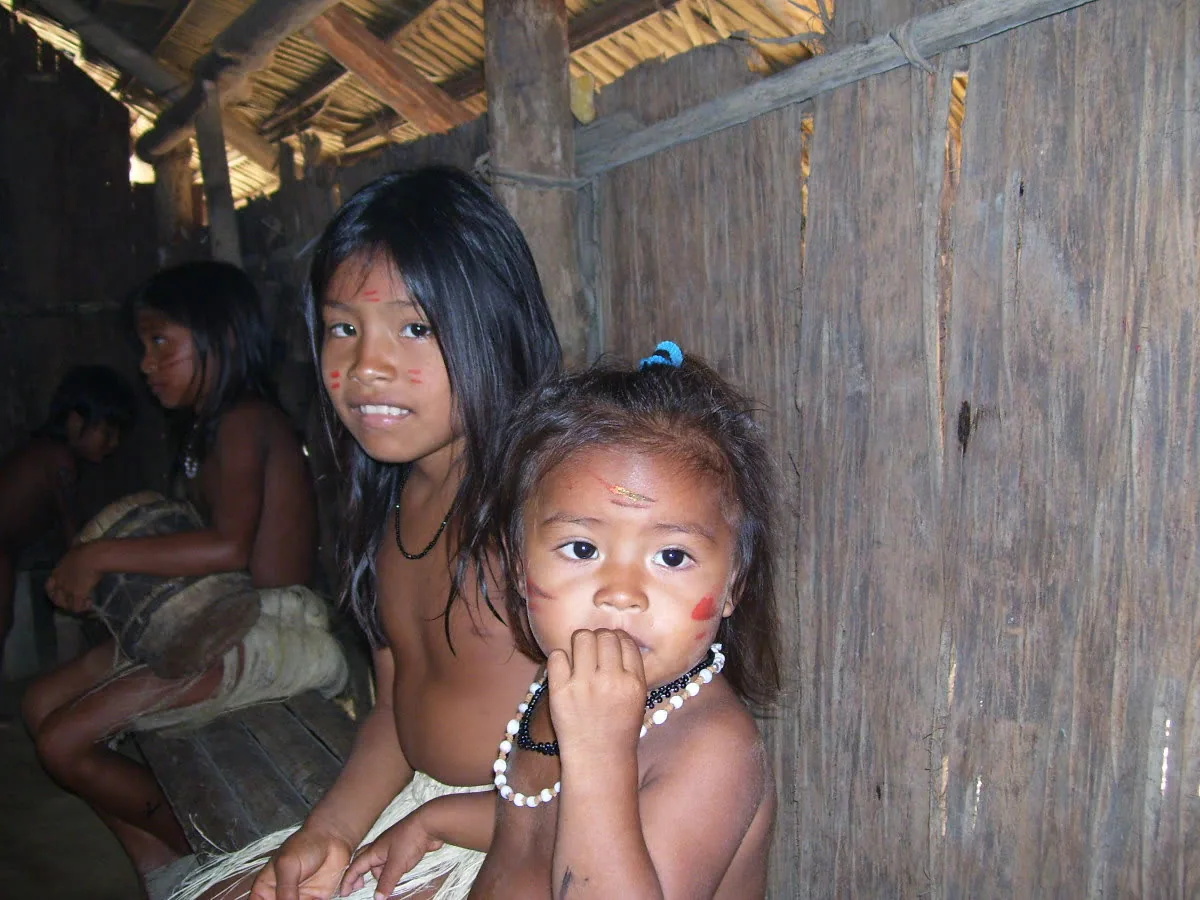

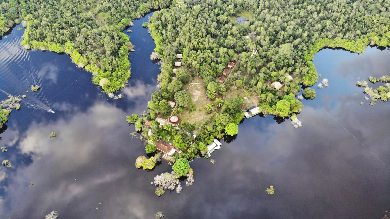
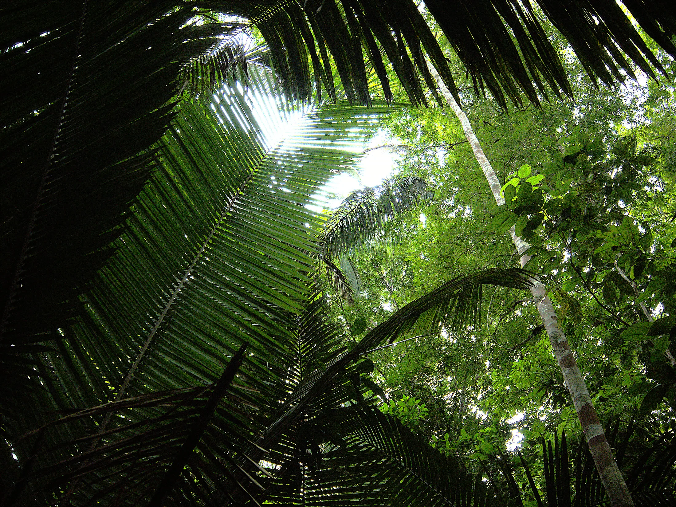
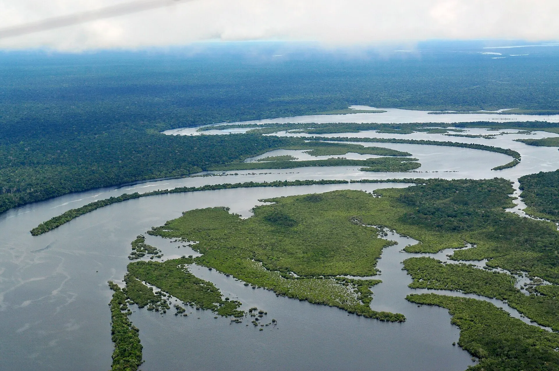
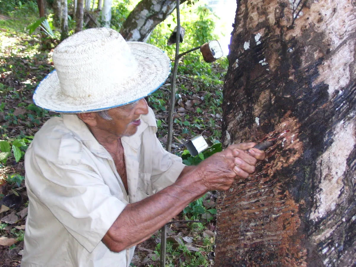
Scale is the hardest thing to convey. The Amazon basin in Brazil alone is larger than the European Union. The river runs over 6,000 kilometers long and more than 20 kilometers wide in places during the wet season. It runs deep enough that ocean-going ships dock at Manaus, 1,500 kilometers inland. There are no roads to most of it. The rivers are the roads.
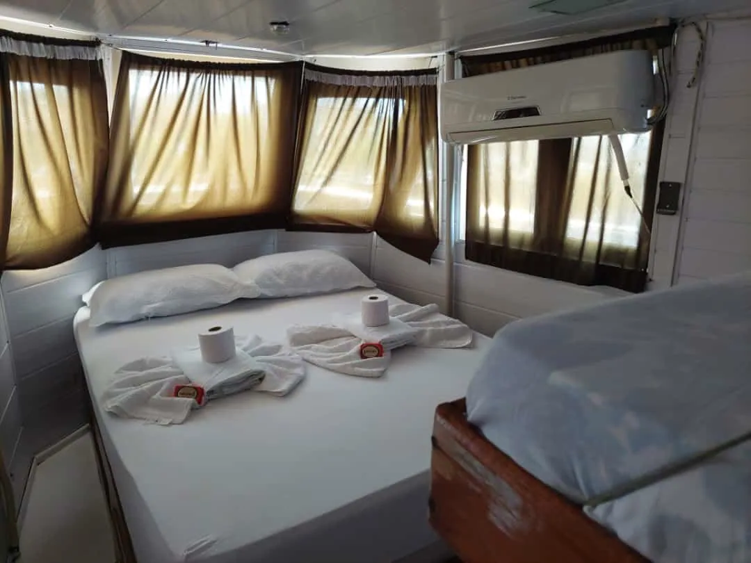
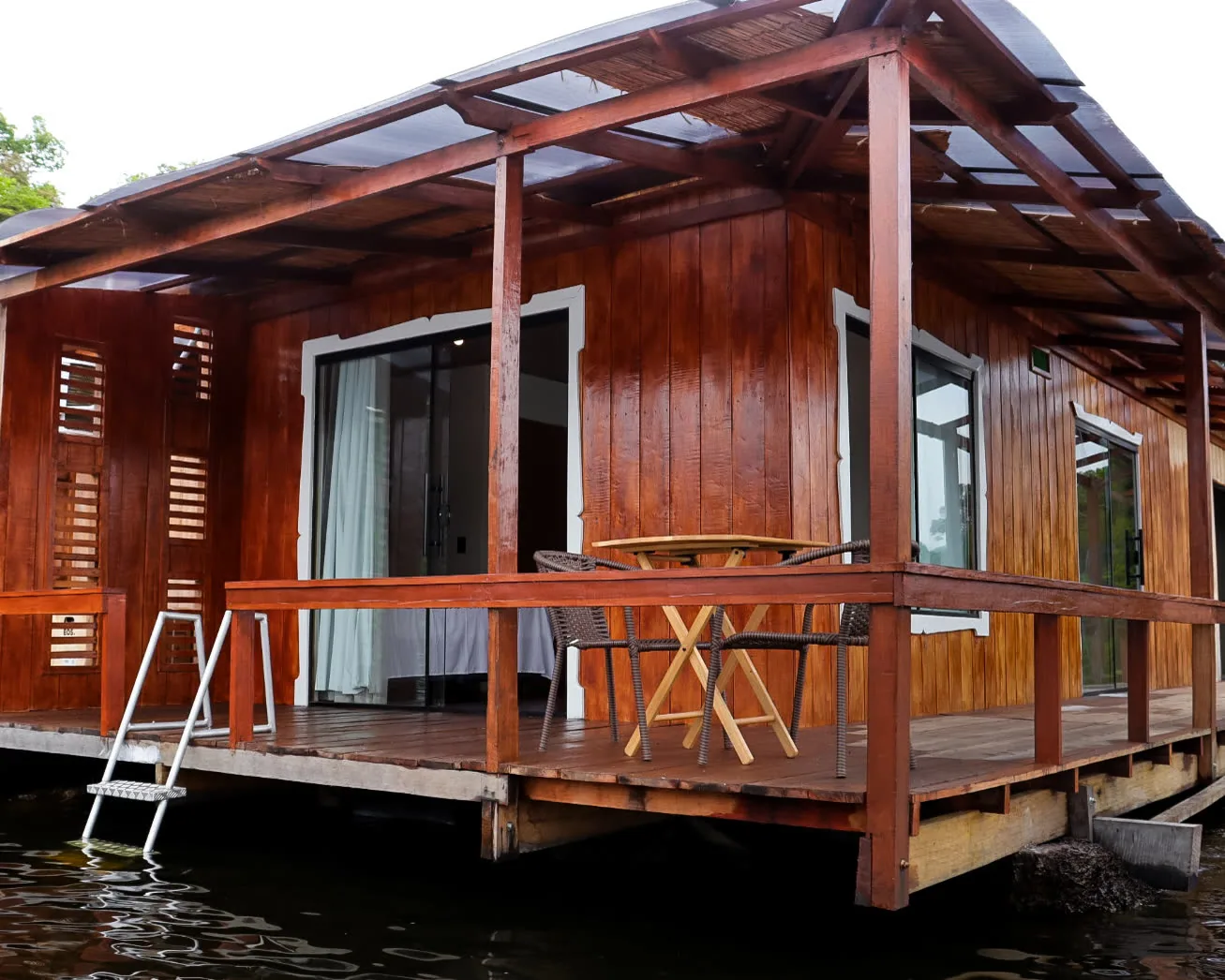
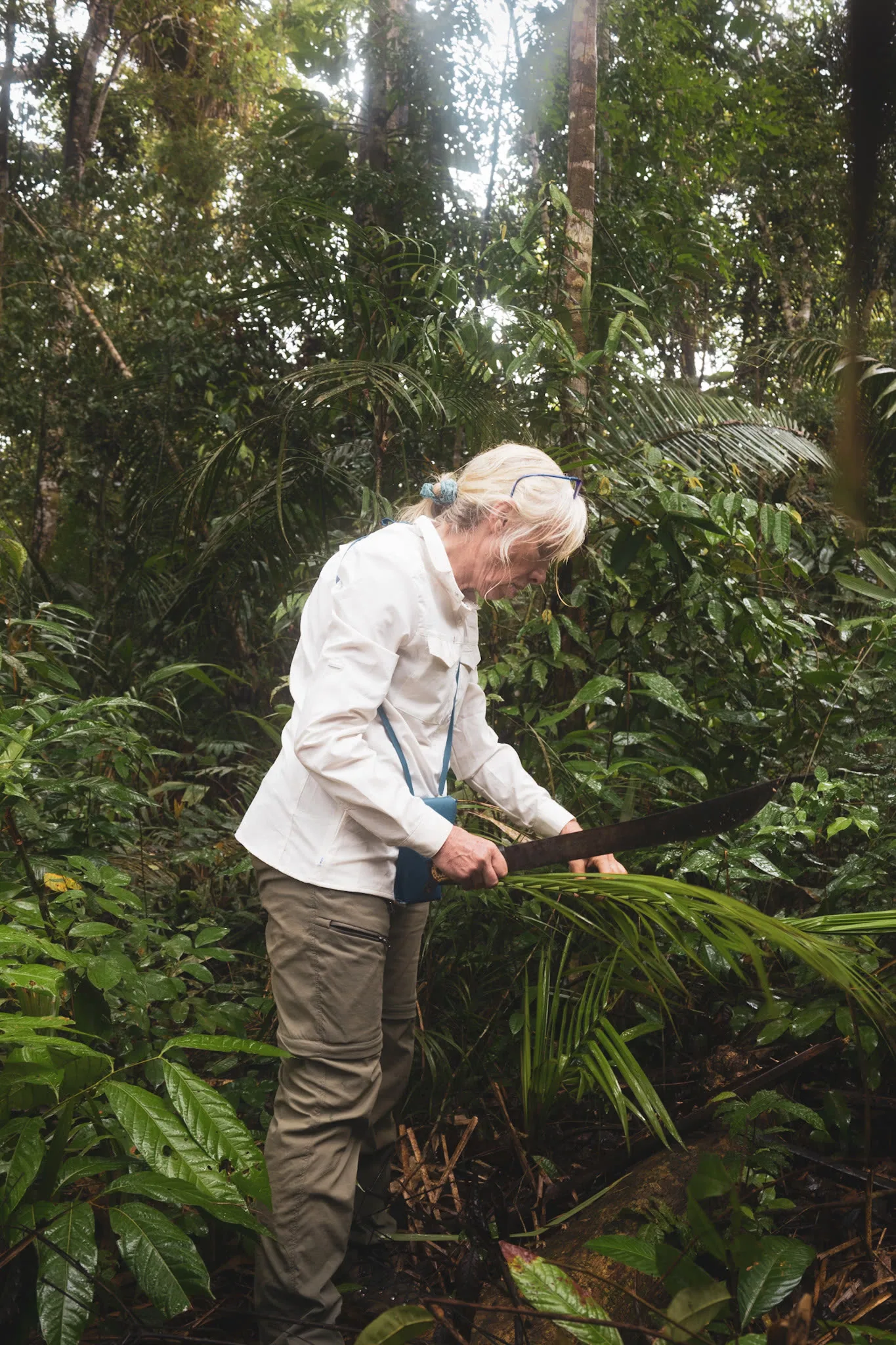
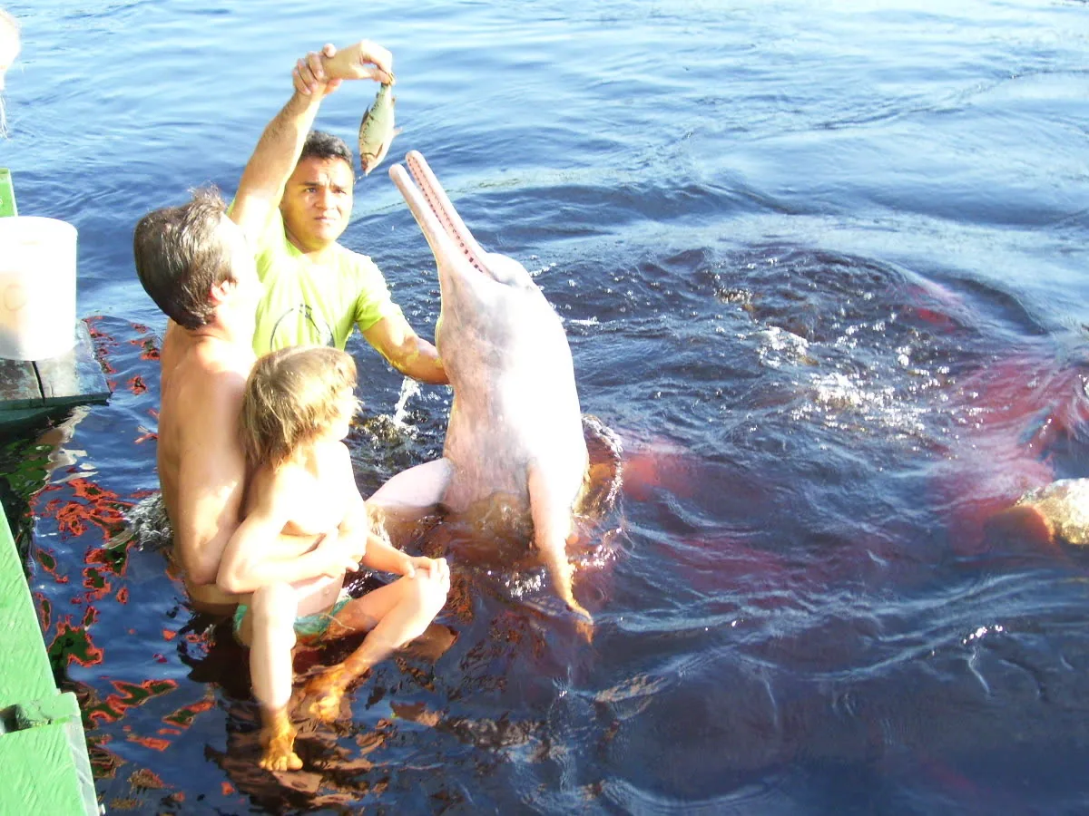
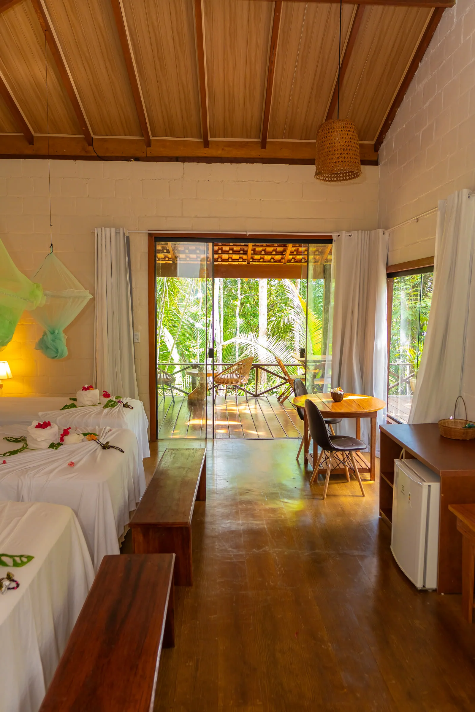
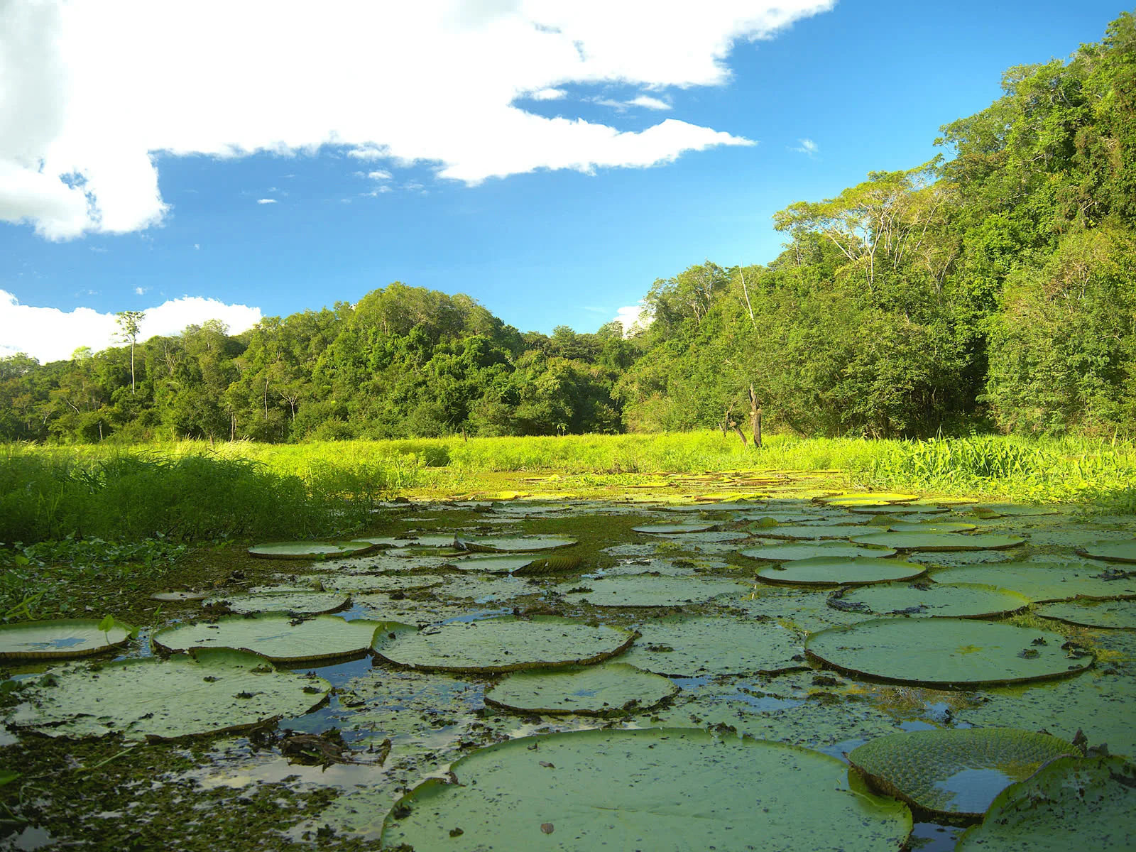
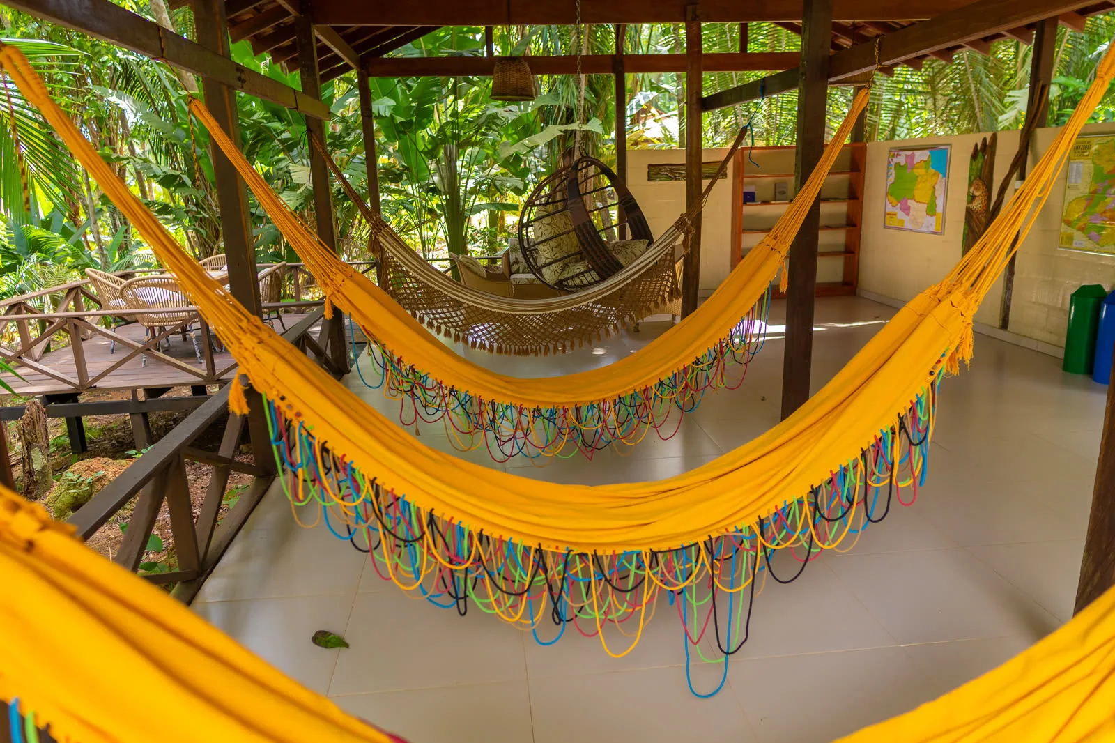
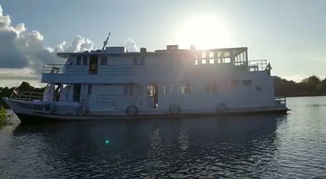
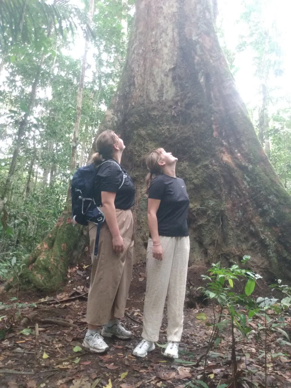
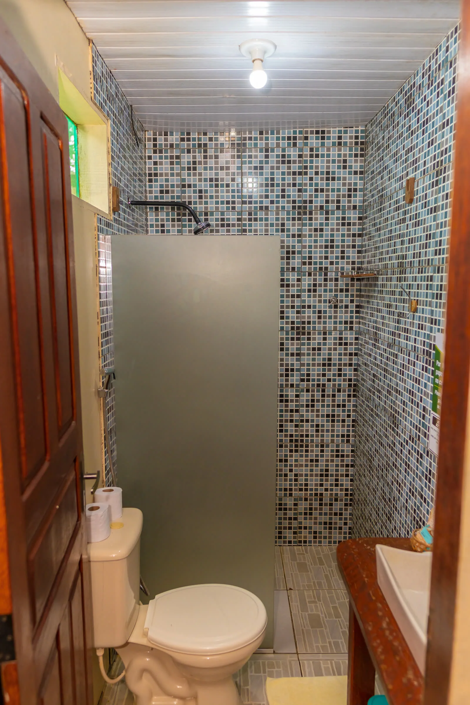
It is not one destination. A river cruise, a jungle lodge and a trekking expedition are three different trips. A comfortable lodge a few hours from Manaus gives you canopy walkways, night safaris by canoe, pink river dolphins and a bed with a mosquito net. A boat expedition takes you into flooded forest and side channels, where the wildlife is denser and the nearest town sits a day away. A trek is the hard version, and the best one if you want to get far from other people.
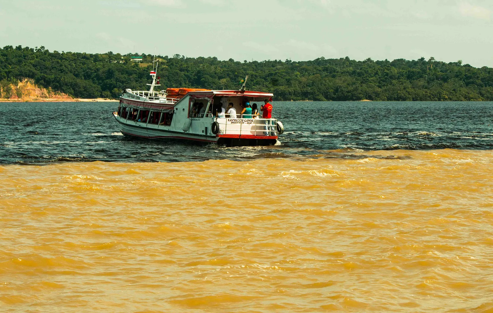
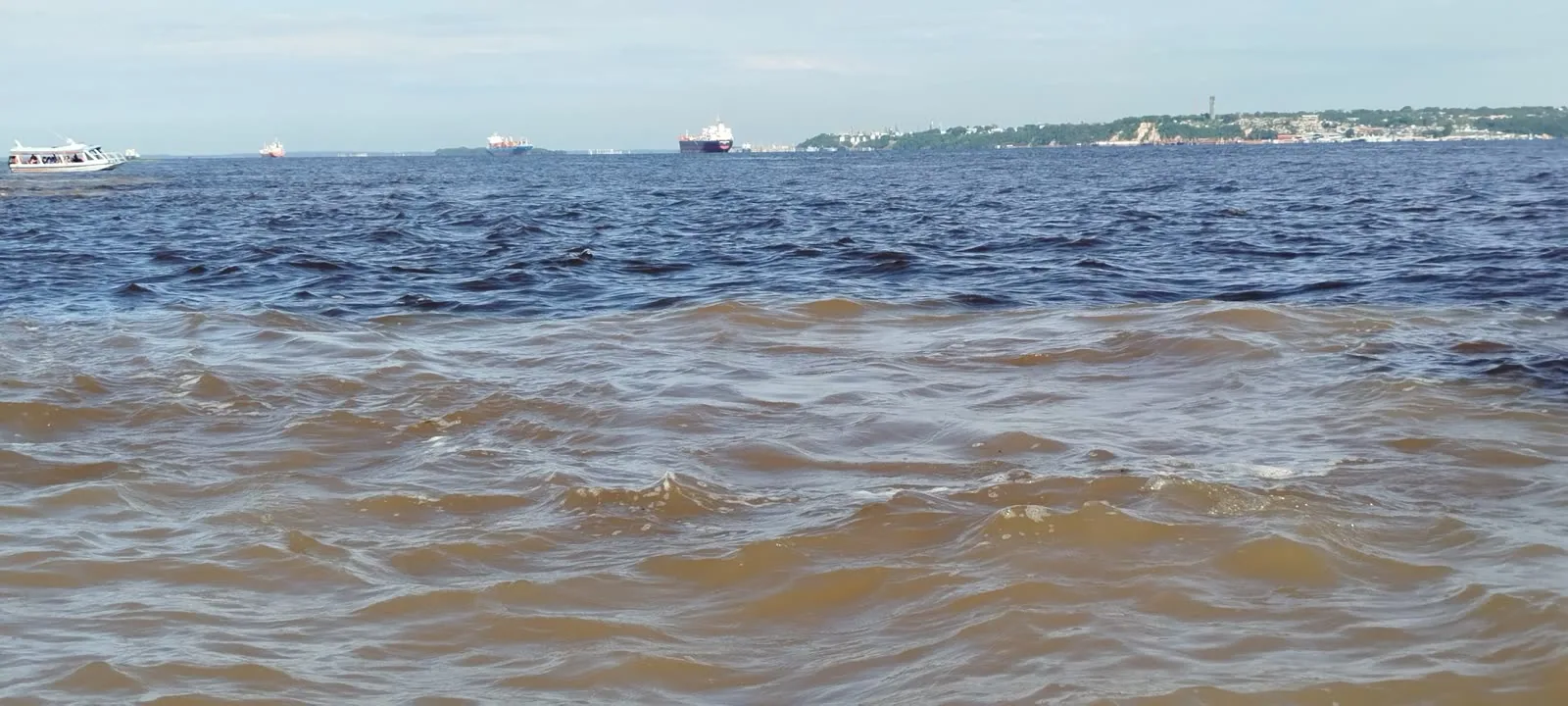
Manaus is the gateway. It has an opera house built with rubber money in the middle of the rainforest, and the Meeting of the Waters just downstream, where the black Rio Negro and the sandy-brown Solimões run side by side for six kilometers without mixing. Belém, at the river's mouth, is the other entry point, and a different kind of city: Amazonian food, the Ver-o-Peso market, and a growing restaurant scene.
Where to go in the North
-
Amazonas · 4–6 nights
The Amazon & Manaus
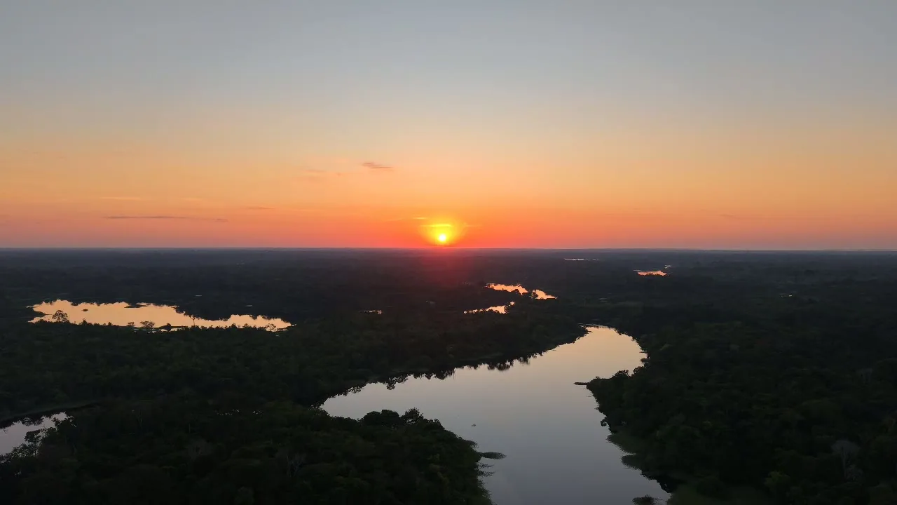
Almost every Amazon trip starts here. Manaus is a strange, compelling city of two million people with no road connection to the rest of Brazil. It has an ornate 1896 opera house built at the height of the rubber boom, and a floating port that rises and falls fourteen meters a year with the river.
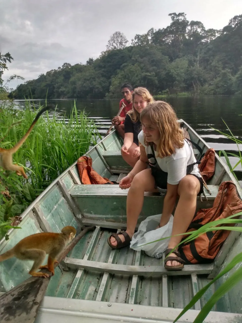
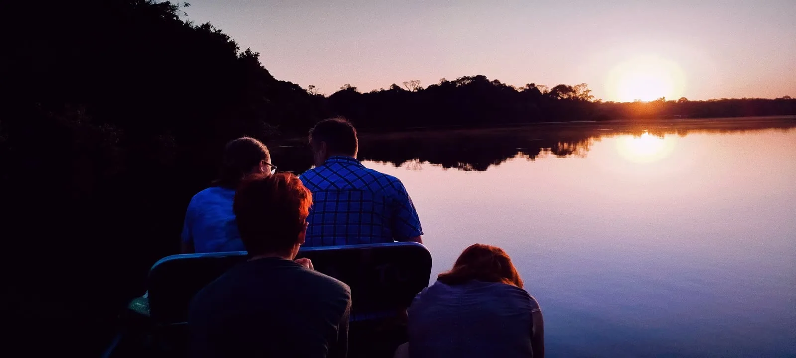
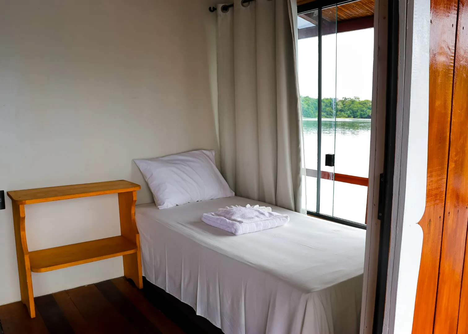
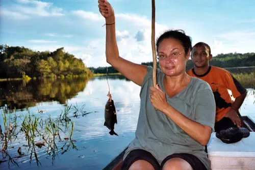
From here you choose your Amazon. Lodges on the Rio Negro, two to four hours out, are the most common and the easiest. They offer canopy towers, night canoe safaris, piranha fishing, pink river dolphins, and visits to riverine communities. Go further, to the Anavilhanas archipelago or the Mamirauá reserve, and both the wildlife and the sense of remoteness increase sharply.
- The Meeting of the Waters, six kilometers of two rivers that never mix
- Teatro Amazonas, an opera house in the middle of the rainforest
- Night safari by canoe, when the forest wakes up
- Pink and gray river dolphins on the Rio Negro
- Anavilhanas, roughly 400 islands in the black water of the Rio Negro
-
Pará · 4–5 nights
Alter do Chão
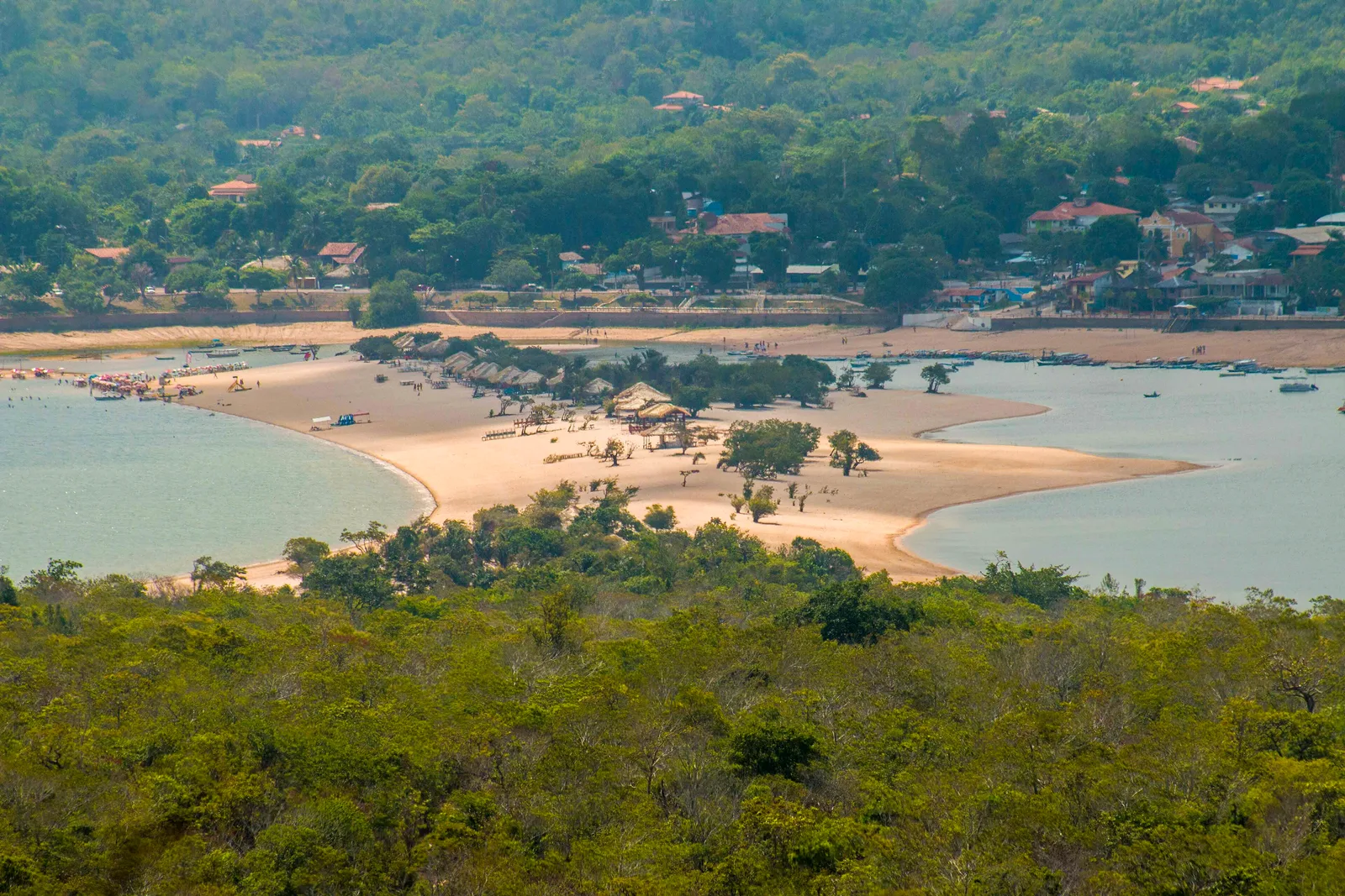
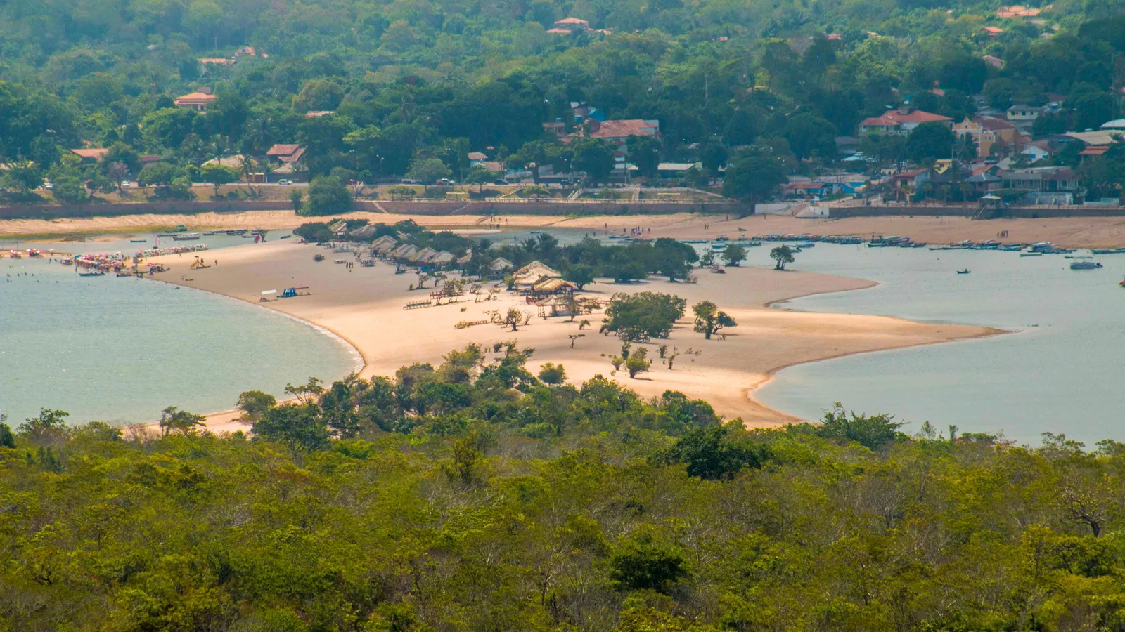
A village on the Tapajós, a clear-water tributary that runs blue where the Amazon runs brown. When the river drops each year it leaves white sand beaches all along its banks, and the Ilha do Amor, the sand spit opposite the village, rises out of the water and disappears under it again a few months later.
That cycle decides the trip: the river peaks in May and bottoms out around November, so April is flooded forest by canoe and October is a beach you walk out onto. Santarém, about 37 km by road, has the airport and the meeting of the Tapajós and the Amazon.
- The Ilha do Amor, a short canoe crossing from the village
- A day in the Floresta Nacional do Tapajós with its communities
- The white beaches of the Rio Arapiuns
- The meeting of the waters at Santarém
-
Pará · 2–3 nights
Belém & the river mouth
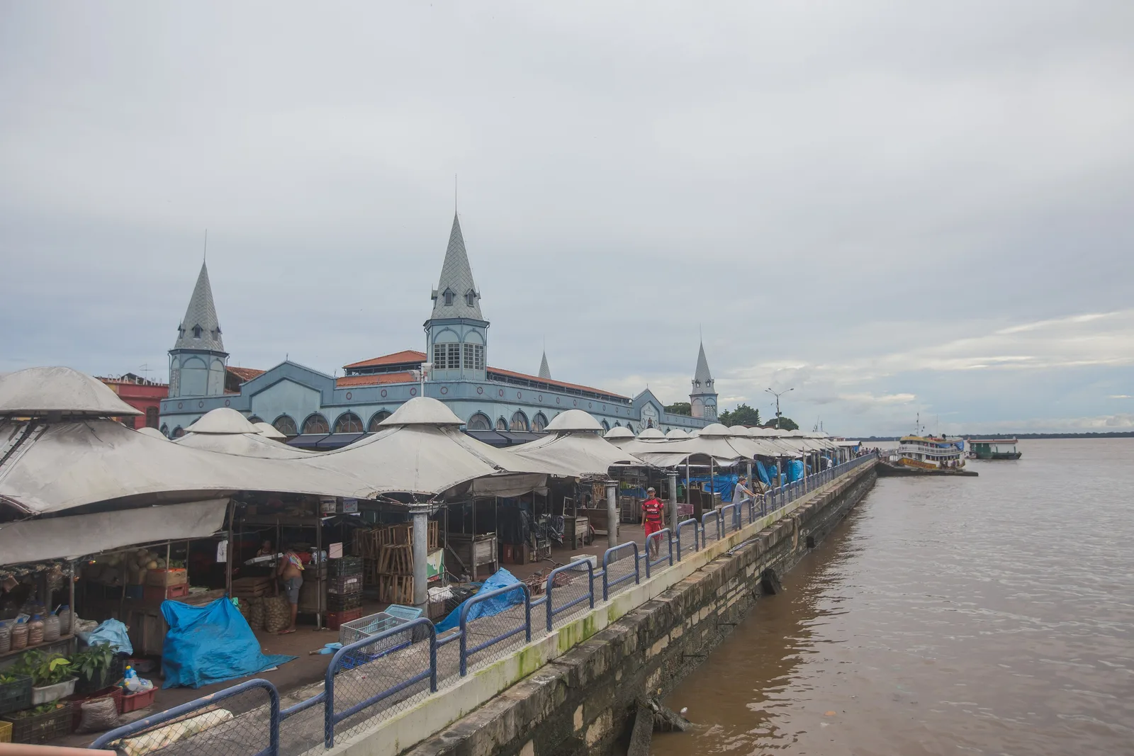
Belém sits where the Amazon reaches the Atlantic, and it's the best place in Brazil to eat Amazonian food. Try tucupi, jambu, tacacá, and açaí served the way it's eaten here: savory, with fish, not as a smoothie bowl.
The Ver-o-Peso market has run since 1625, when it was a crown weigh-station, and its iron pavilion went up in 1901. Nearby, Marajó island sits at the river mouth. It's roughly the size of Switzerland, has almost as many water buffalo as people, and stays almost entirely off the tourist map.
- Ver-o-Peso market at dawn, when the fishing boats unload
- Estação das Docas and the city's restaurant scene
- Real açaí, which won't taste like what you've had before
- Marajó island, buffalo, and beaches at the mouth of the Amazon
More of the North
When to go to the North
The Amazon has no bad season, only two different trips. High water floods the forest and you travel by canoe among the treetops; low water exposes river beaches and forest trails and pushes wildlife down to the banks. It rains in both - this is a rainforest. September is the one month the whole region is at or near its best; the high-water trip peaks three months earlier in June, and Belém peaks a month later in October for the Círio.
- Best — The one or two peak months
- Good — A real recommendation
- Trade-offs — Workable, with a catch
- Jan
Rain at its heaviest and the river climbing. Green, dramatic and very quiet, but expect to get wet daily.
- Feb
High water begins and the rain is still heavy at 297 mm. Quiet on the river, and green.
- Mar
Deep in the flooded season. Canoes run far into the igapó forest, over ground you could walk in September.
- Apr
The wettest month of the year at Manaus, 331 mm, and the river still climbing hard. Strong for boat-based exploring and for birds.
- May
The river holds high, the rain starts easing, and the forest is at its greenest.
- Jun
The high-water peak: the Negro at Manaus tops out in June in most years and the rain is already down to 117 mm. Flooded forest by canoe, without the rain. The opposite trip to September's, and the Amazon's other star.
- Jul
Dry, warm and bright. Trails open as the water falls. Brazilian holidays fill the lodges, so book ahead.
- Aug
The driest stretch at Manaus, 56 mm. River beaches appear at Alter do Chão and wildlife concentrates along the banks.
- Sep
The peak, and the one month the whole region lines up: low water on the Amazon at 79 mm and six rain days, the Tapajós beaches wide at Alter do Chão, and Belém often at its driest month of the year. Trails open, wildlife on the banks, far fewer mosquitoes.
- Oct
Still low and dry, and the Rio Negro beaches are at their widest. Belém's own peak: the Círio de Nazaré fills the city.
- Nov
Low water ending. The rain returns in the second half of the month.
- Dec
The wet season sets in and the river starts climbing. Hot, humid and heavily green.
Dates worth planning around
-
Festival de Parintins
Last weekend of June
A stadium-scale folk opera on an island in the middle of the Amazon, staged by two rival groups. One of the strangest and best things in Brazil.
-
Círio de Nazaré
Second Sunday of October
Two million people process through Belém - one of the largest religious gatherings on earth.
-
Meeting of the Waters
Year-round
The black Rio Negro and the sandy Solimões run side by side for kilometers below Manaus without mixing. Nothing published ranks the sharpness of the line by month, so go on whichever day you are there.
Getting around the North
There are almost no roads in the North. You fly in, and after that you travel by boat and small aircraft - which is the point of the region, not an inconvenience to work around.
Where to fly into
-
Manaus (MAO)
The gateway to the Amazonas lodges, usually connecting through São Paulo, Brasília or Rio.
-
Belém (BEL)
The river mouth, and the way into Pará and Ilha do Marajó.
-
Santarém (STM)
The airport for Alter do Chão and the Tapajós beaches.
Between the places on this list
- 1-4h
Manaus to Jungle lodge
Every lodge runs its own transfer, usually a speedboat down the Rio Negro. How far out you go is roughly how much wildlife you will see.
- 1h15
Manaus to Santarém
Or three to four days downstream on a riverboat, if you have the time and want the experience more than the destination.
- 45min
Santarém to Alter do Chão
A short paved run. Taxis and vans go constantly.
- 3h
Belém to Ilha do Marajó
Vehicle ferry from Icoaraci, a couple of times a day. Check the schedule the night before.
- 4-5 days
Manaus to Belém
The classic slow passage downriver in a hammock. Pay for a cabin if you want to sleep.
Once you are there
-
Manaus
The center is compact - the Teatro Amazonas, the Mercado Adolpho Lisboa and the floating port are all walkable. Use ride apps for anything beyond that.
-
On the river
Hammock space on a public riverboat is cheap and sociable. A cabin costs several times more and is worth it on anything over two nights.
Should you rent a car?
No. There is nowhere useful to drive.
The BR-319 between Manaus and Porto Velho is impassable for much of the year and is not a tourist route under any circumstances. Budget instead for internal flights and boat transfers - those are the real cost of the North, and they are what makes the distances work at all.
The Amazon rewards being specific. Tell us whether you want comfort, dense wildlife, or real remoteness, and the right version of this trip usually becomes obvious in one conversation.
Get trip adviceMato Grosso · Mato Grosso do Sul · Goiás · Distrito Federal
Central-West: The Pantanal, the cerrado and Brasília
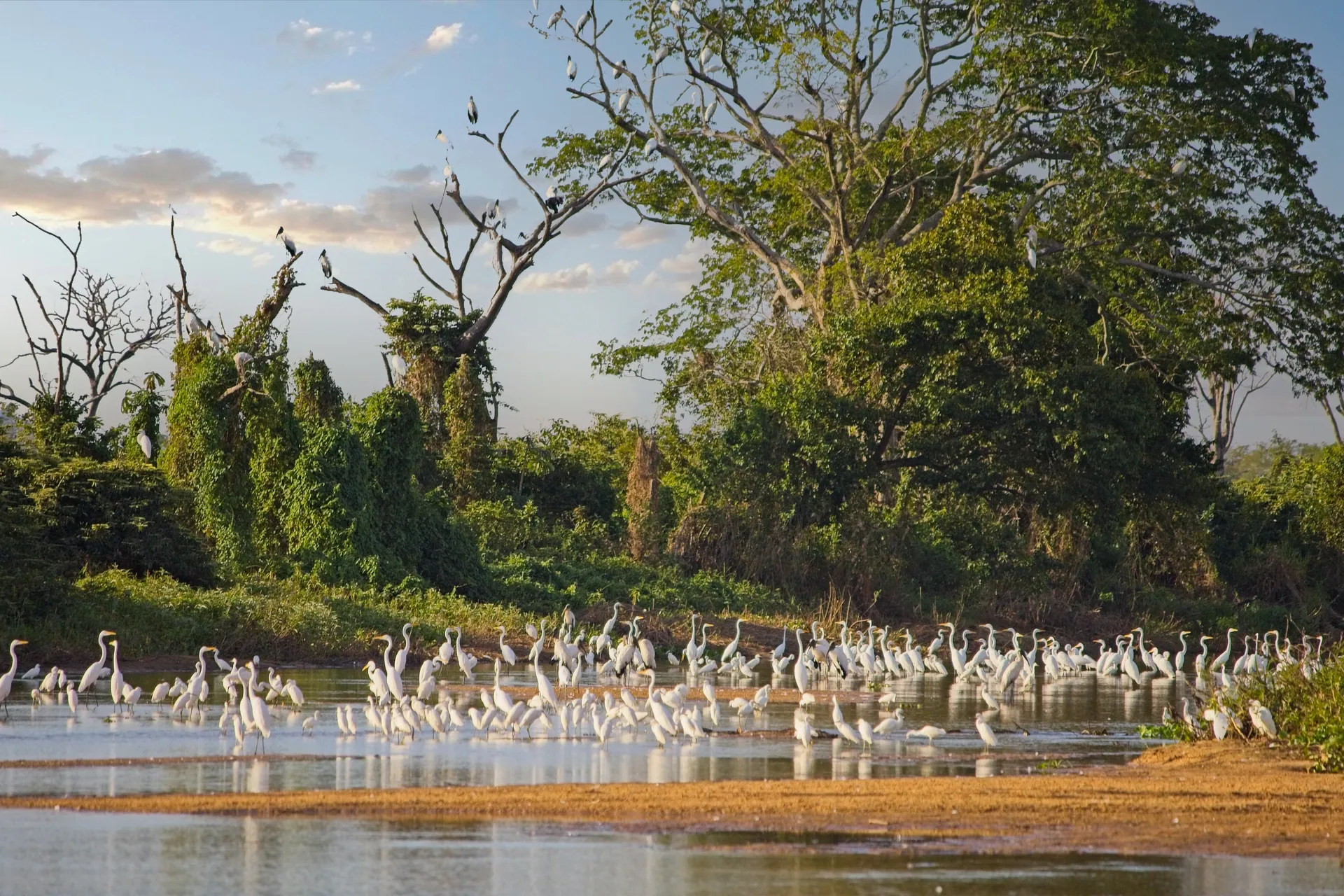
For wildlife in Brazil, come here rather than the Amazon. The Pantanal is the largest tropical wetland on earth, and the single best place in the Americas to see a jaguar in the wild.
- How long to stay
- Four nights in the Pantanal gives you a fair shot at seeing a jaguar. Add three for Bonito or Chapada dos Veadeiros.
- Good for
- Wildlife and photography above all. Also good for anyone who found the Amazon underwhelming for animal sightings.
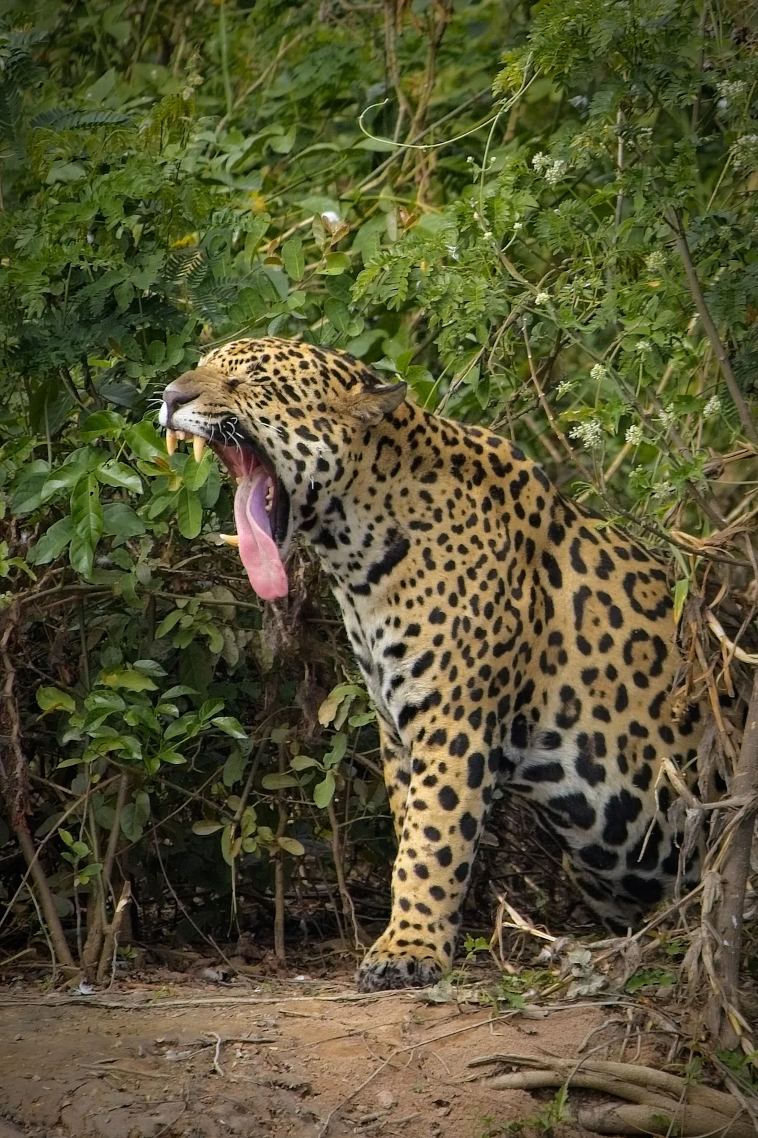
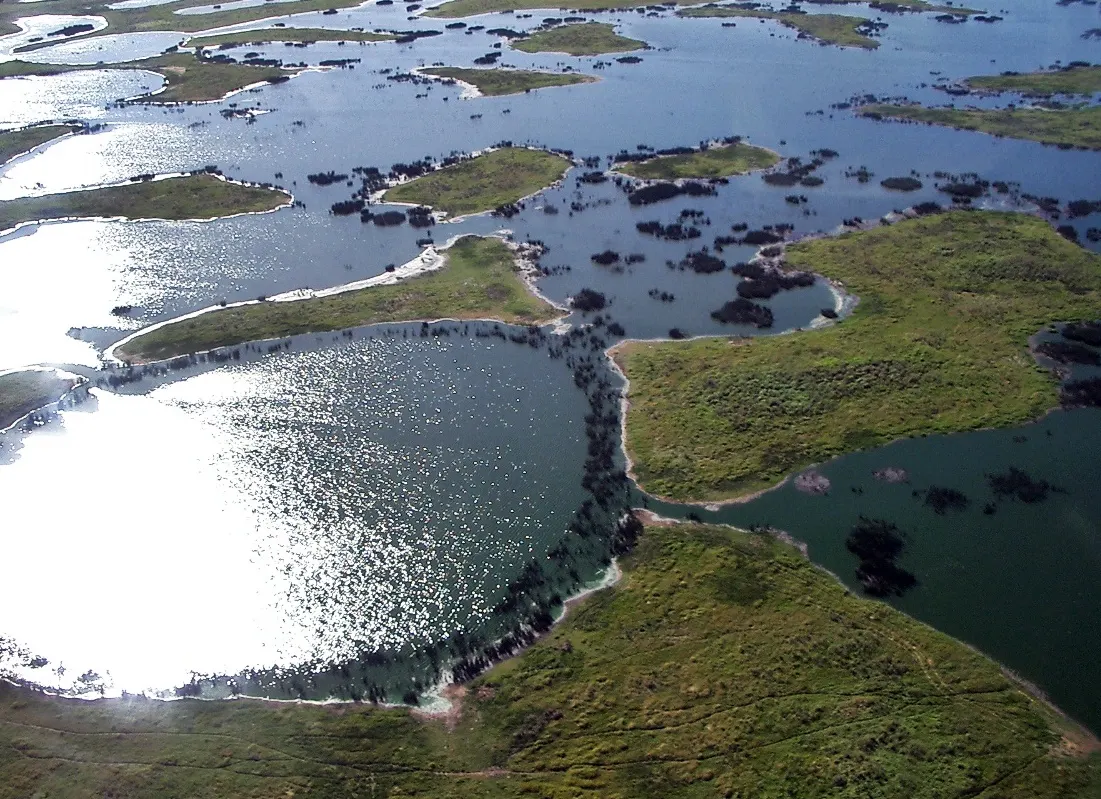

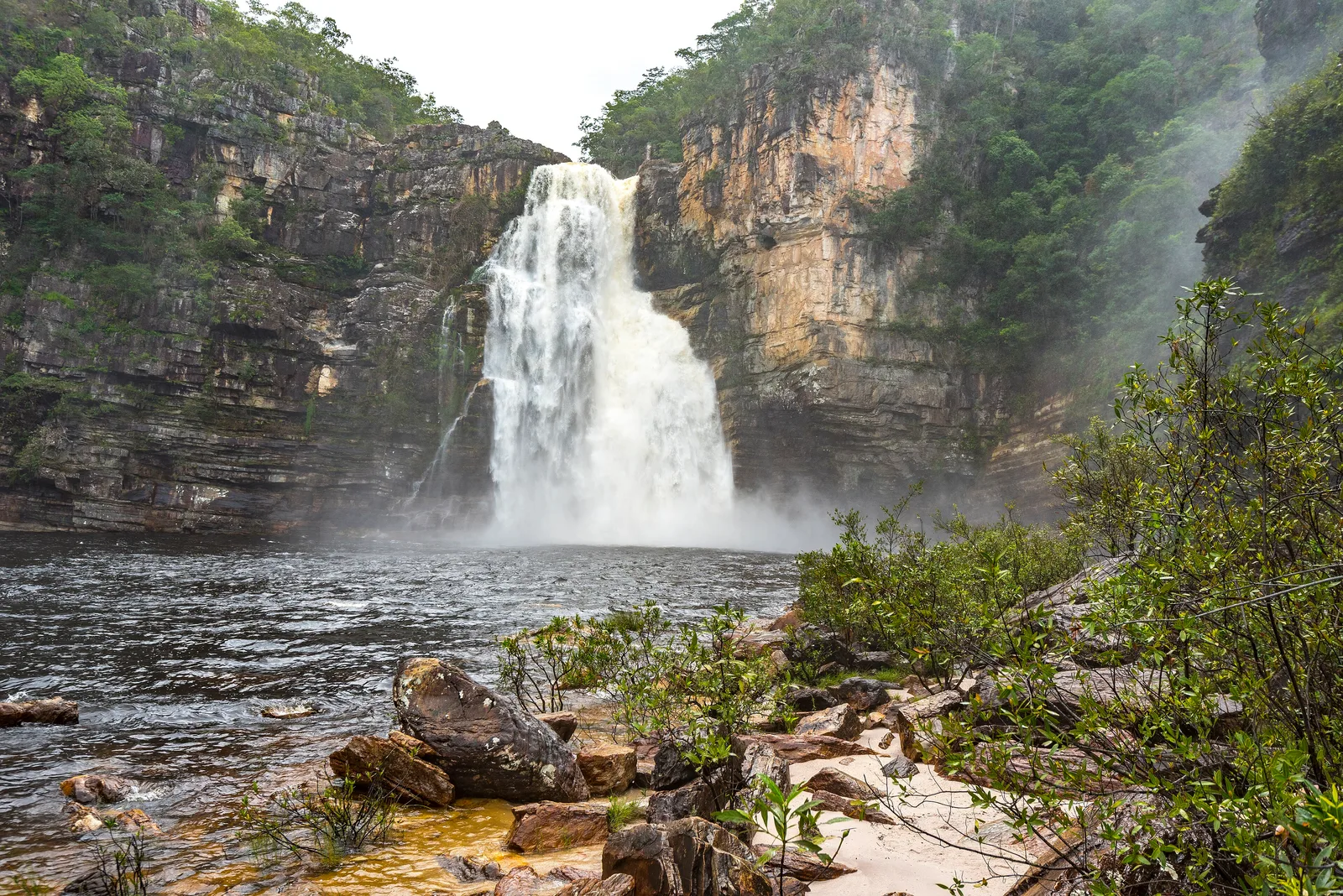

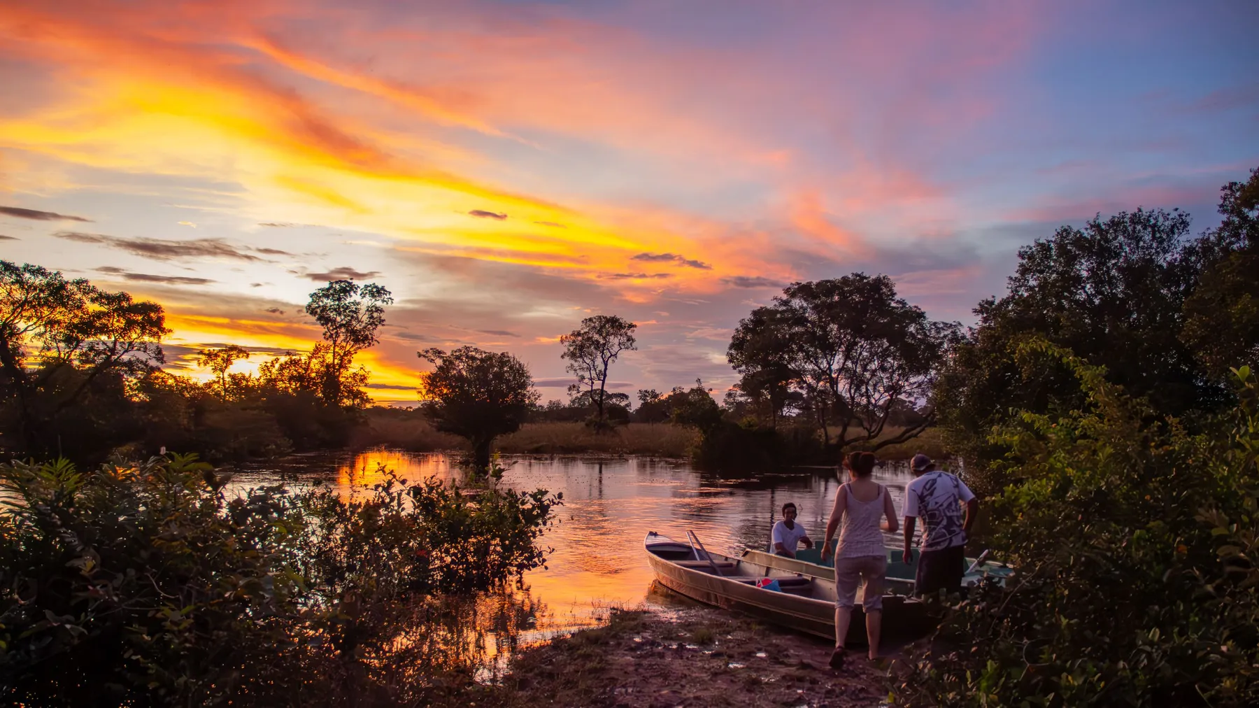

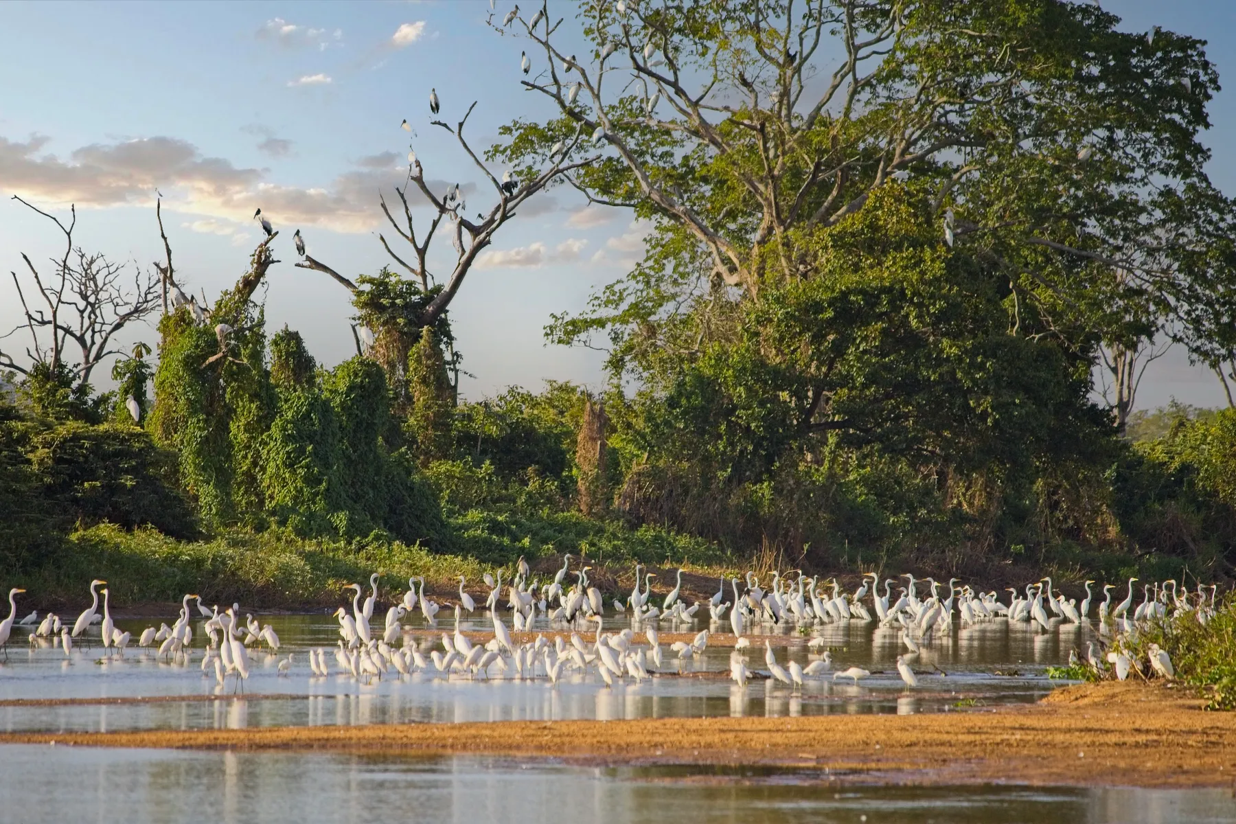

Here's the surprise: the Amazon holds more species, but the Pantanal is where you see them. Rainforest is dense and vertical, and animals disappear into it. The Pantanal is open, seasonally flooded grassland, around 150,000 square kilometers of it, ten times the size of the Everglades. During the dry season, wildlife gathers along shrinking rivers and waterholes in plain view.
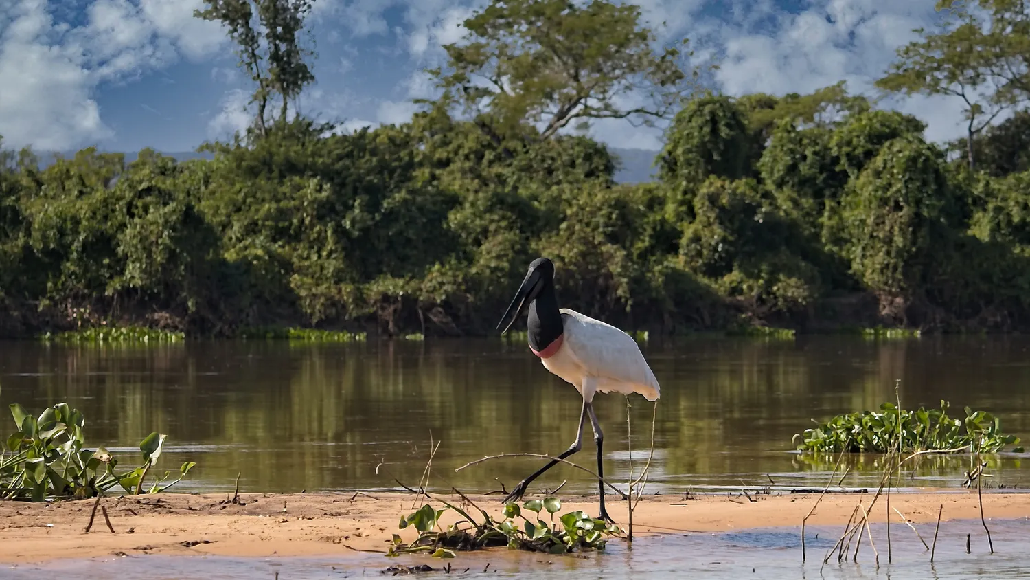
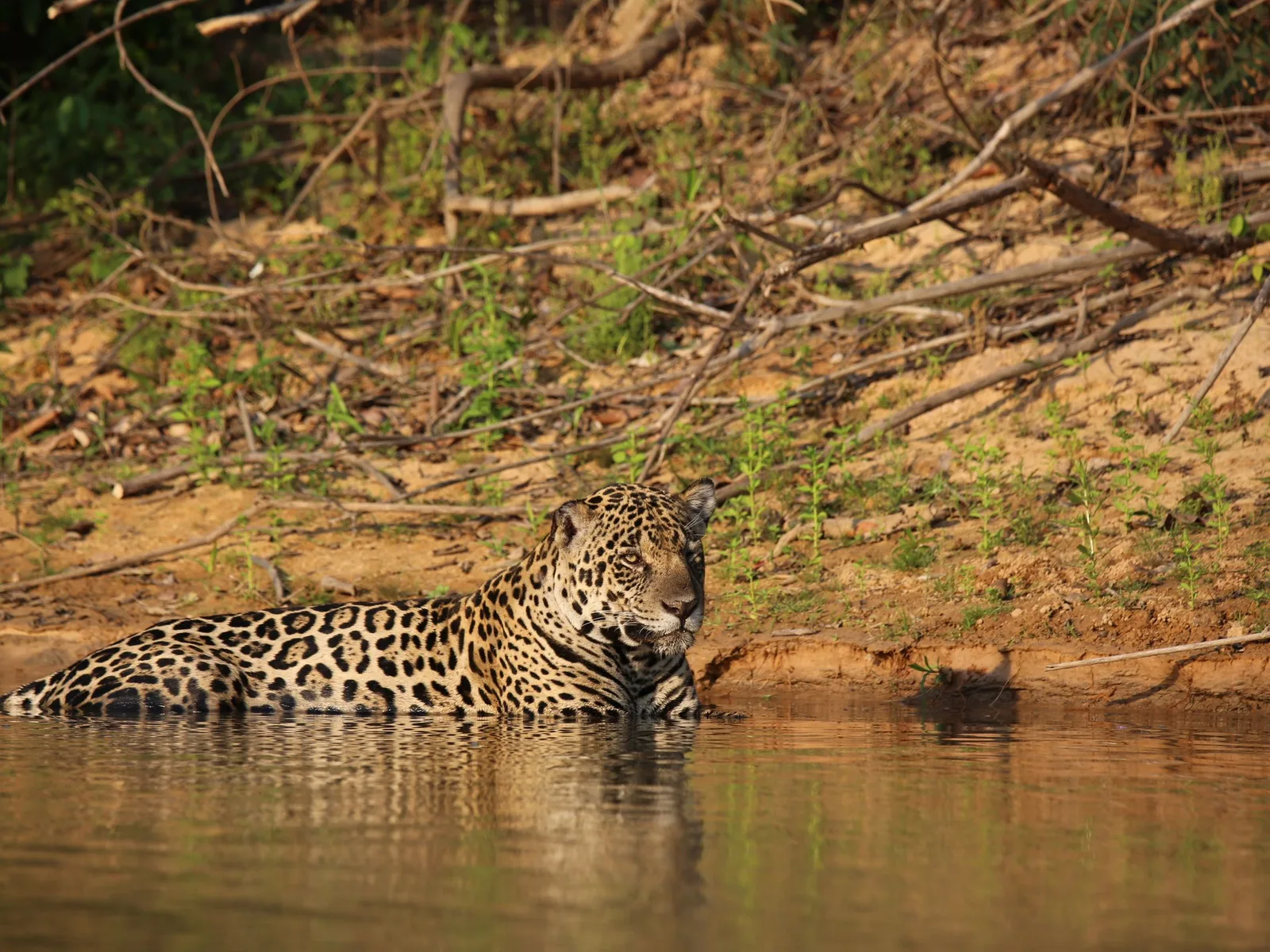
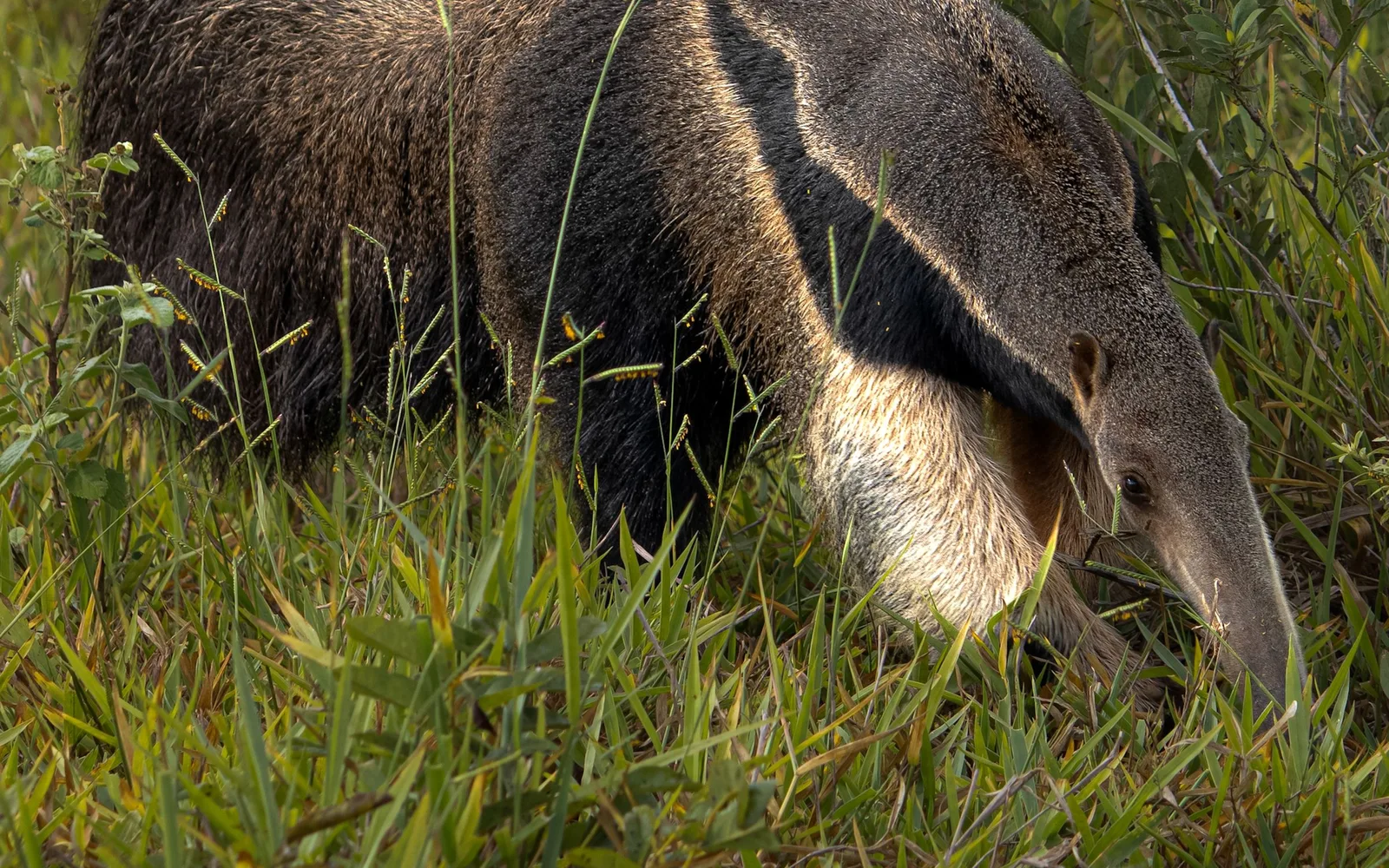
The numbers back this up. Jaguar sightings on the northern Pantanal's rivers between July and October run at better than 90% across a three-day boat safari. No other big-cat destination in the Americas comes close. Alongside jaguars, you'll find giant otters, capybara, tens of thousands of caiman, hyacinth macaws, jabiru storks, tapir, giant anteater and anaconda.
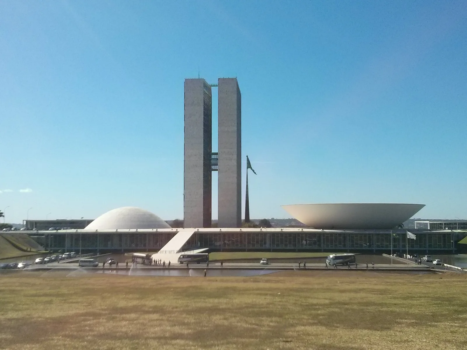
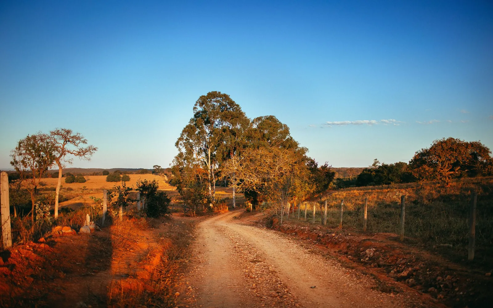
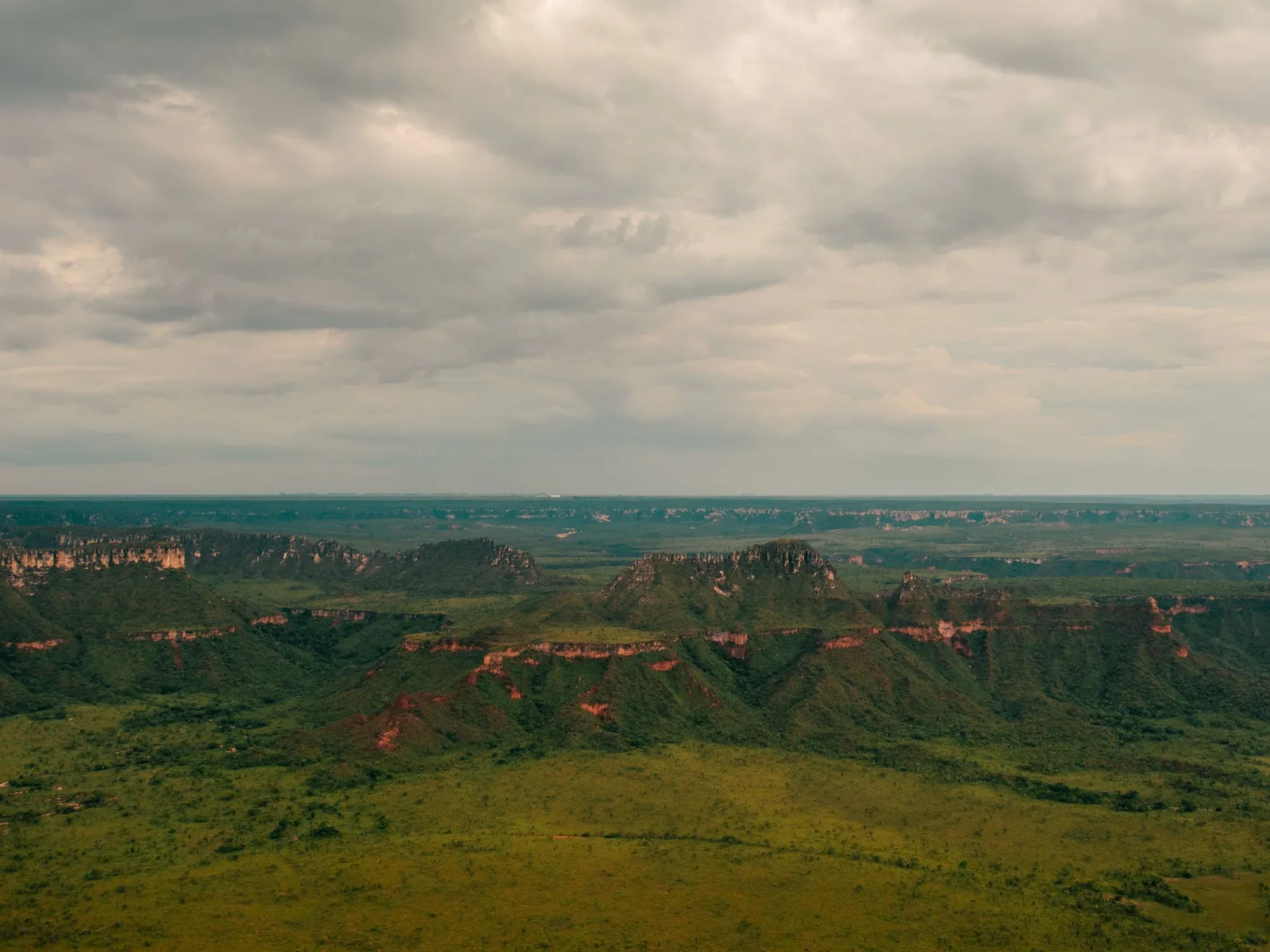
The rest of the region runs quieter and stranger. The cerrado, Brazil's savanna, holds more biodiversity than any other savanna in the world, and the Chapada dos Veadeiros shows its best side: quartz plateaus, canyons and waterfalls at 1,200 meters. Bonito, in the south, has spring-fed rivers so clear you snorkel past shoals of fish. Brasília is a purpose-built modernist capital, laid out in the shape of an airplane and finished in 41 months. It reads as fascinating or alienating depending on the day.
Where to go in the Central-West
-
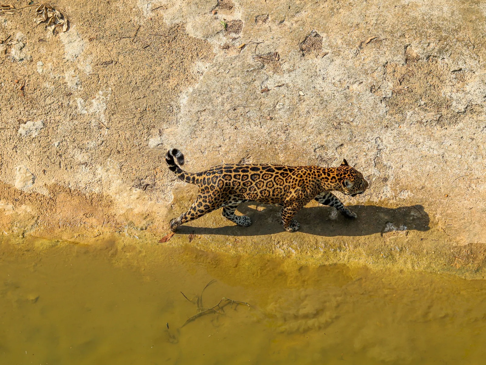
Mato Grosso · 4–6 nights
The Pantanal
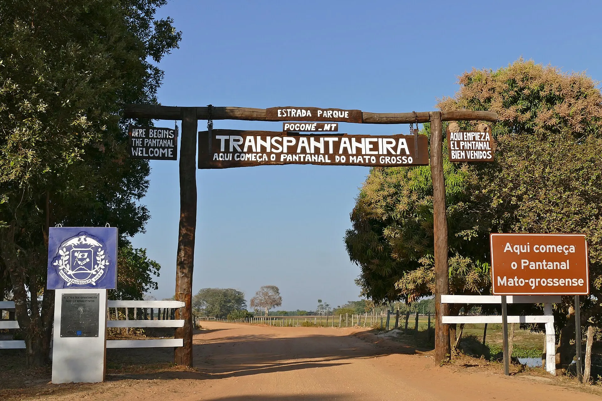
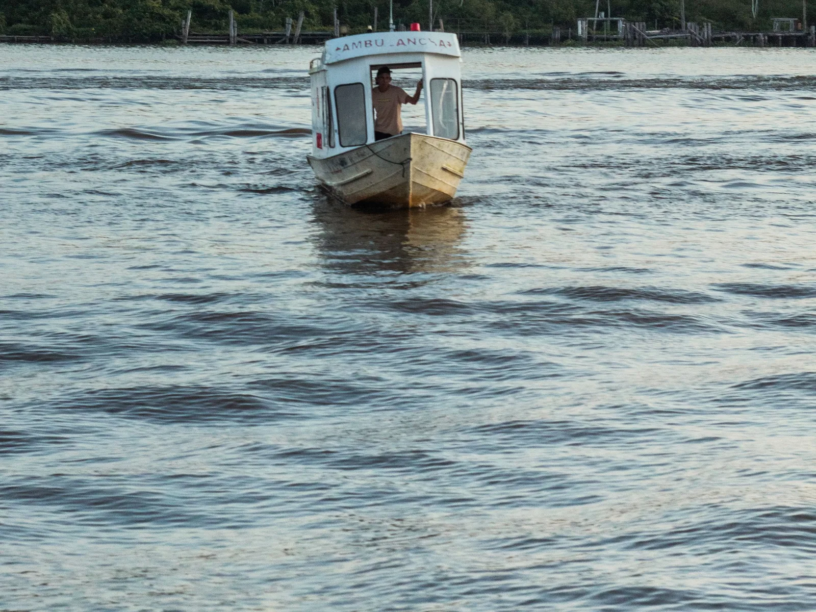
The northern Pantanal is the jaguar half. Reach it via Cuiabá and the Transpantaneira road down to Porto Jofre. You spend days in small boats on the Cuiabá and Três Irmãos rivers, where a network of guides radios sightings to one another. That's why the success rate runs so high. Giant otters, capybara and caiman stay in constant company.
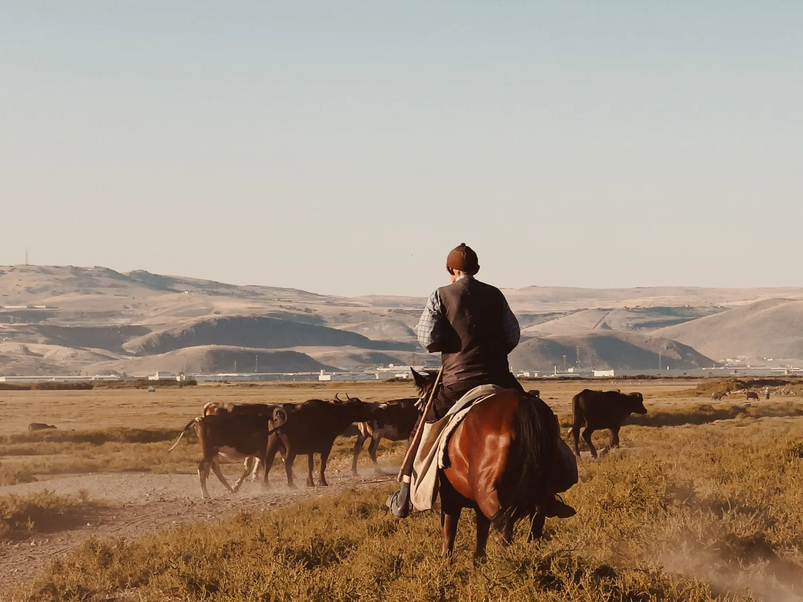
There is a southern Pantanal too, reached from Campo Grande, and it is a different trip: working cattle fazendas, horseback riding, birding and night drives, with far fewer jaguars and more of a sense of a place where people live and work. It pairs naturally with Bonito, three hours away. Our guide covers the northern half, which is the one people book for the cats.
- Boat safaris for jaguar from Porto Jofre in the dry season
- Giant otter families, loud and utterly unbothered by boats
- Hyacinth macaws, the largest flying parrot in the world
- The Transpantaneira: 147 km of dirt road and more than a hundred bridges
- Night drives, when tapir and ocelot come out
-
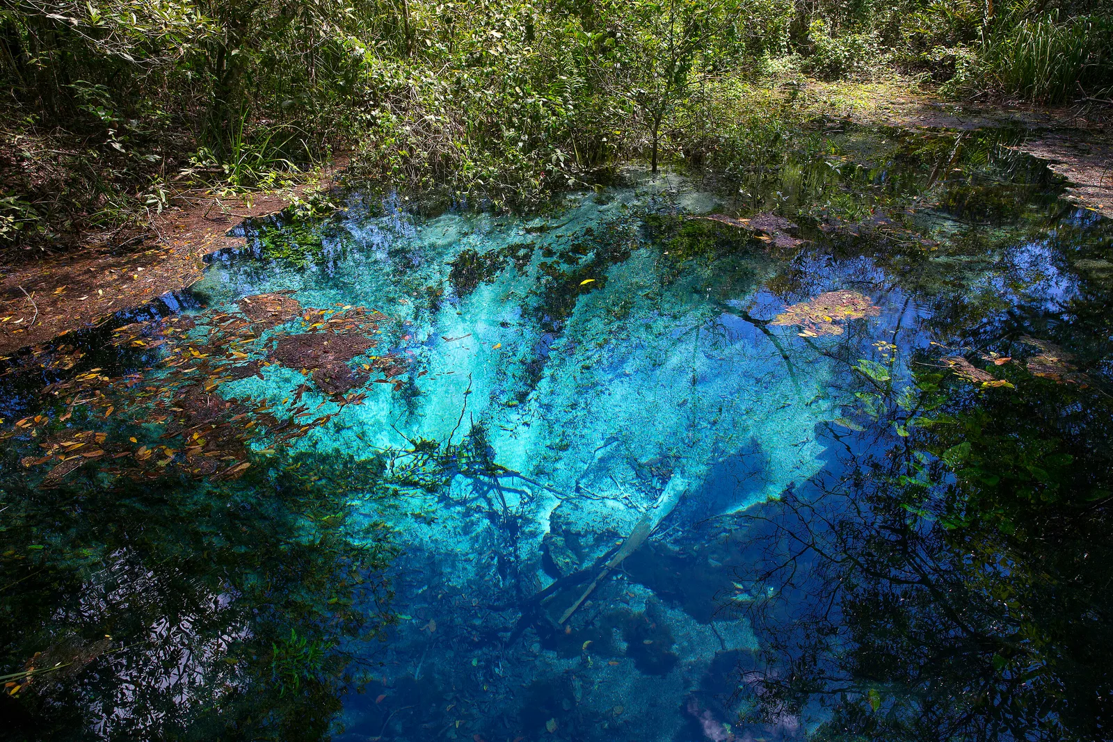
Mato Grosso do Sul · 3–4 nights
Bonito
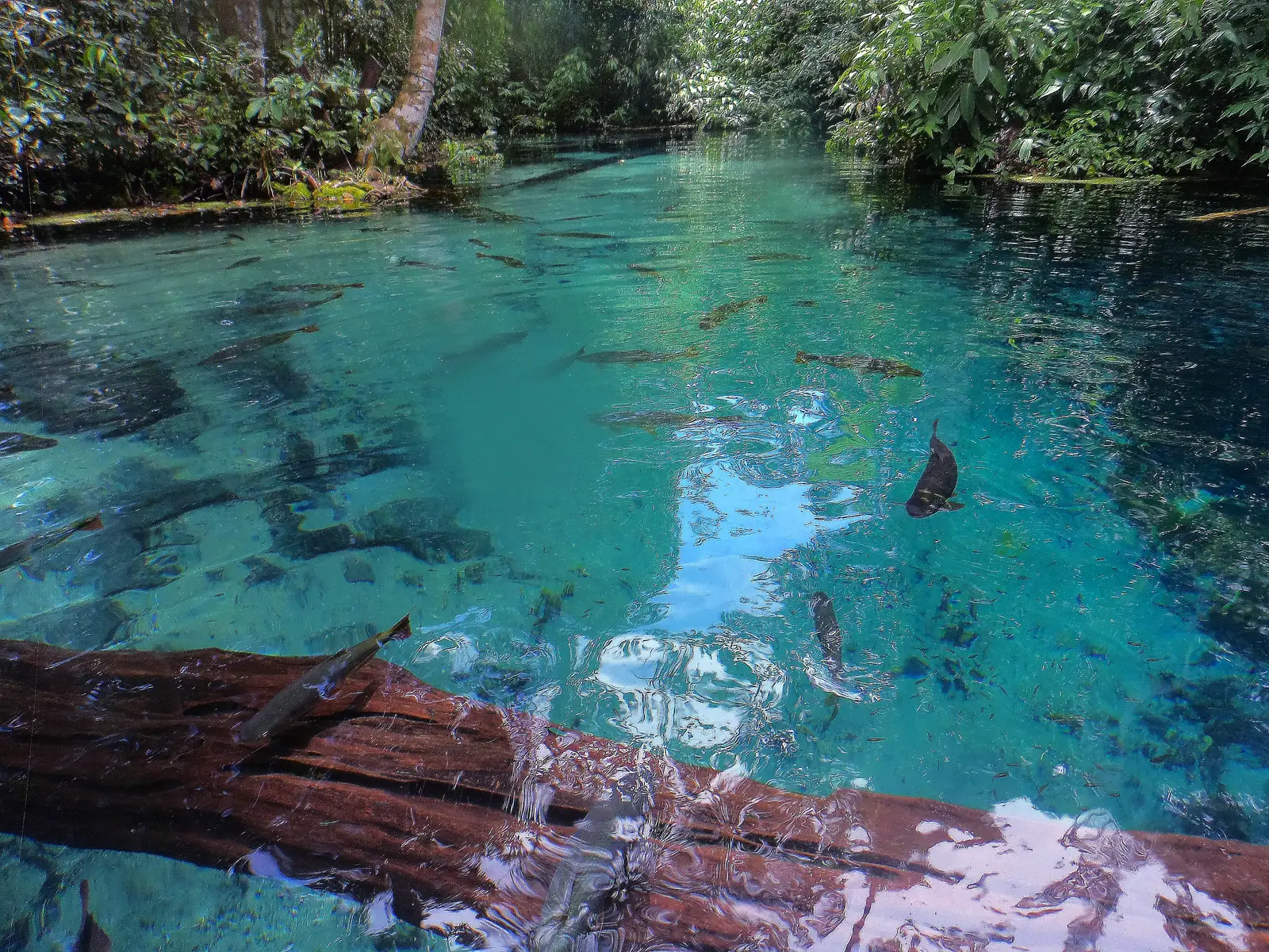
Limestone bedrock filters the groundwater here until it emerges from the springs almost completely clear. You float downriver in a mask and snorkel past shoals of dourado and piraputanga, through submerged trees, in water clear enough to read the riverbed.
Bonito also runs as one of the best-managed ecotourism destinations in Brazil. Every attraction caps daily visitors and requires a guide. That's why it still looks the way it does after thirty years of visitors.
- Snorkeling the Rio da Prata or Rio Sucuri
- Gruta do Lago Azul, a cave with a deep blue underground lake
- Abismo Anhumas, a 72-meter abseil into a flooded cavern
- Waterfall circuits at Estância Mimosa and Boca da Onça
- Easy to pair with the southern Pantanal
-
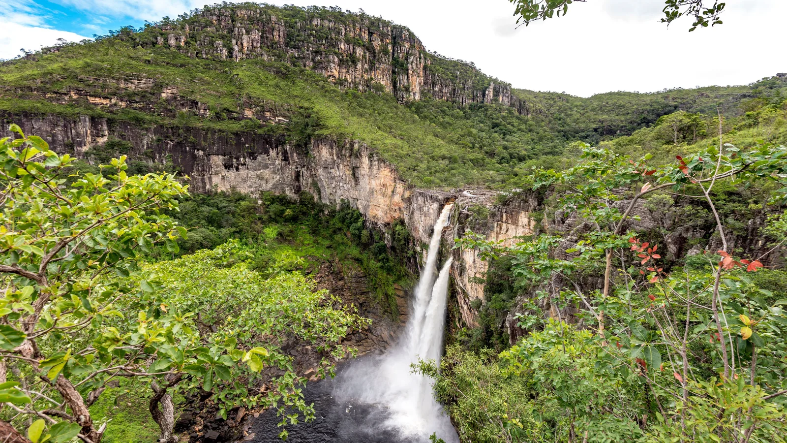
Goiás · 5–6 nights
Chapada dos Veadeiros
A high quartzite plateau north of Brasília, cut by rivers into canyons and waterfalls, and covered in cerrado, the savanna of central Brazil. The national park, listed by UNESCO in 2001, has its gate in the village of São Jorge; Alto Paraíso, 38 km away, is the bigger base.
Much of what people come for lies outside the park on private land, the Vale da Lua above all, and to the north the Kalunga quilombola communities run their own waterfalls. The flights land in Brasília, just under four hours away by road.
- The Saltos do Rio Preto, the park’s two great falls
- Cânion II and the Cachoeira das Cariocas
- The rock pools of the Vale da Lua
- The view from the Mirante da Janela
- Cachoeira Santa Bárbara, in the Kalunga territory
-
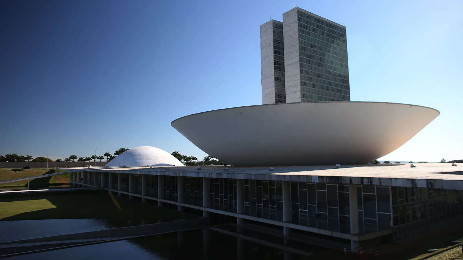
Distrito Federal · 1–2 nights
Brasília
The capital drawn from scratch: Lúcio Costa won the competition for its plan in 1957, and the city was inaugurated in 1960 with Oscar Niemeyer’s palaces and ministries already standing. UNESCO listed the Plano Piloto in 1987 as a unique example of 20th-century town planning.
What you come for is the whole composition, the buildings, the space between them and the sky, and two full days covers it. It is built for cars, so getting around takes planning. It is also the airport for the Chapada dos Veadeiros, about 220 km north.
- Congress and the Praça dos Três Poderes
- Niemeyer’s Cathedral and the Itamaraty Palace
- The superquadras of Asa Sul and Asa Norte
- The Eixão closed to cars on Sundays
- The Ponte JK at sunset, over Lago Paranoá
More of the Central-West
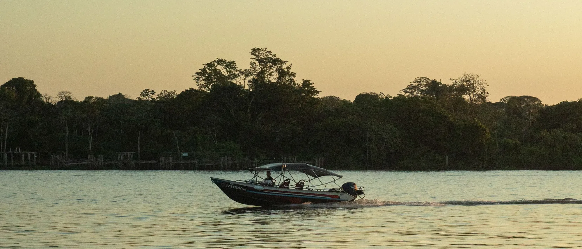
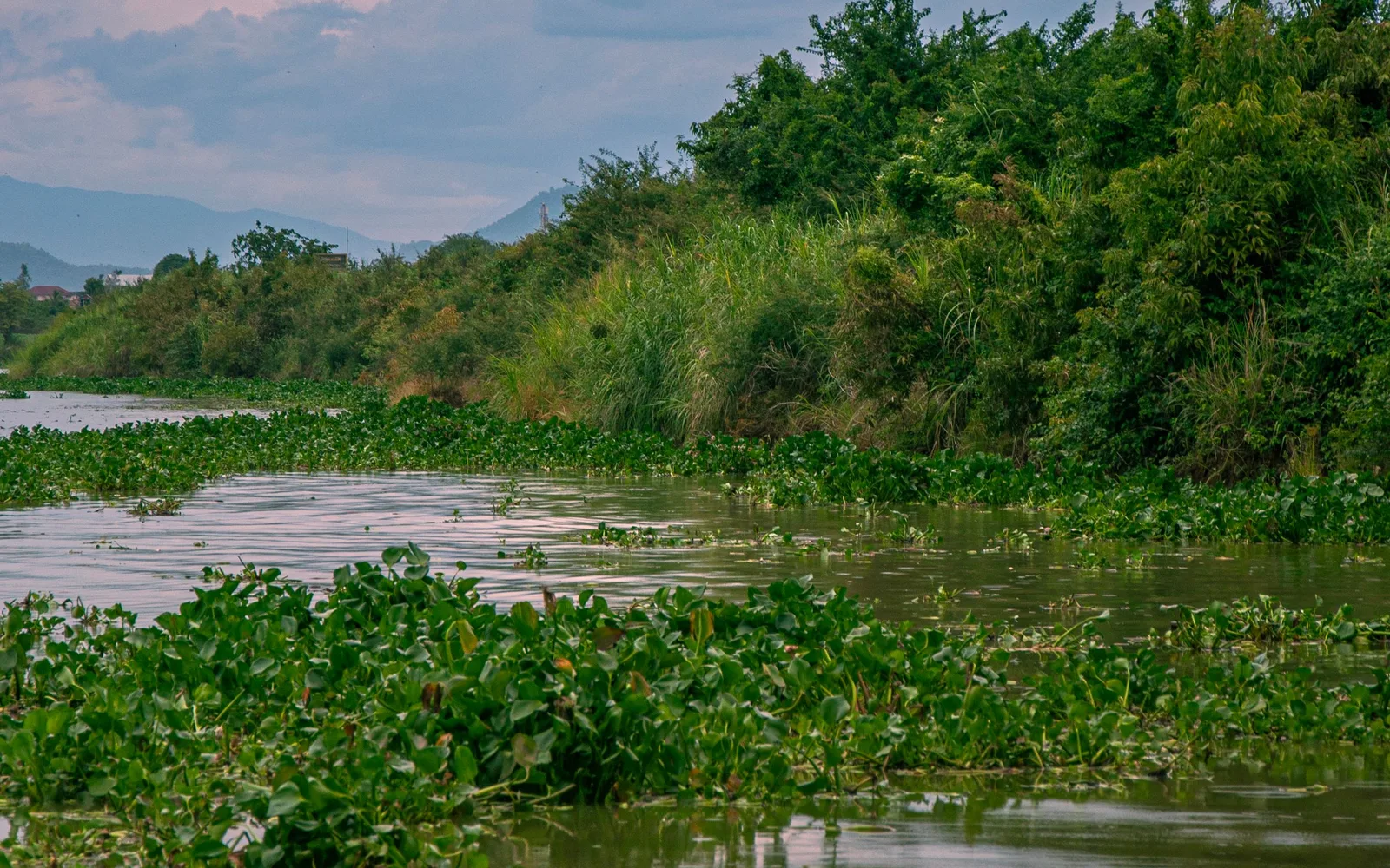
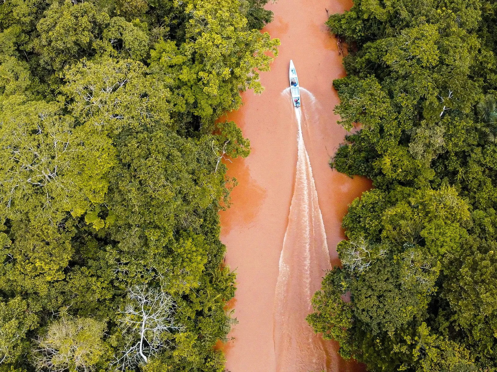
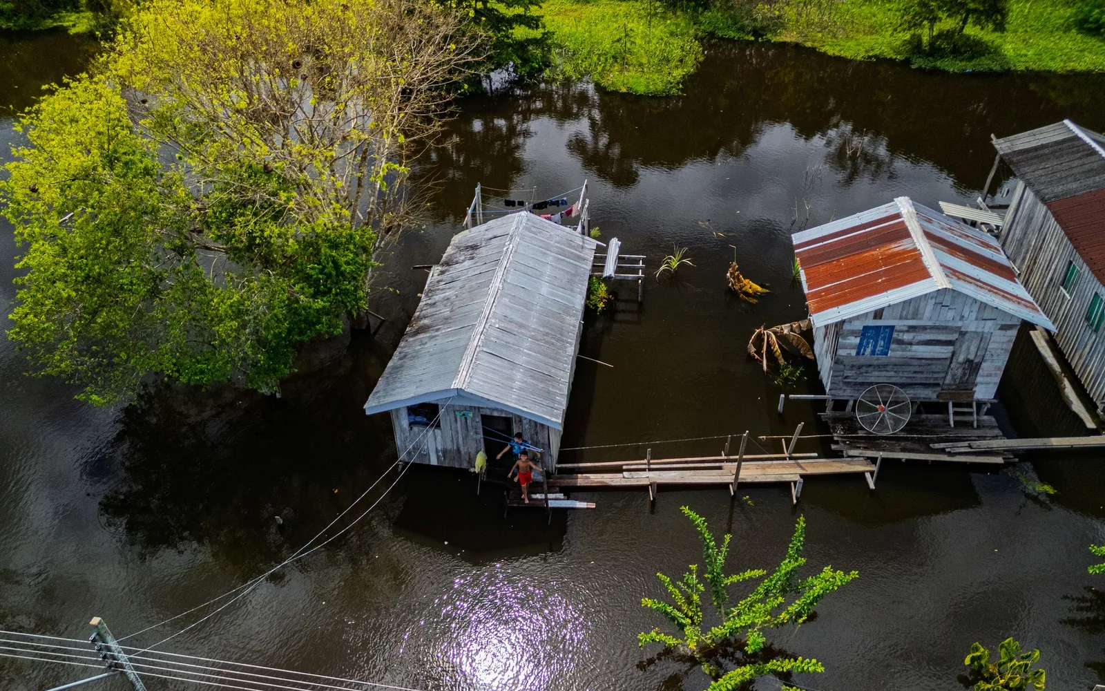
When to go to the Central-West
The Central-West runs on the Pantanal's flood cycle. From November to March the wetland fills, turning green and loud with birds but scattering the mammals across thousands of square kilometers. From May the water drops and the animals concentrate along the remaining rivers, which is when jaguars become findable rather than theoretical. All four places in this region peak in the same month, July, which is rare enough here to be worth saying.
- Best — The one or two peak months
- Good — A real recommendation
- Trade-offs — Workable, with a catch
- Jan
Peak flood and peak heat. Superb for birds, hard for mammals, and some lodge roads become impassable.
- Feb
Still flooded and very hot. February is one of Bonito's wetter months too, and it is rain that puts sediment in those rivers.
- Mar
Rain easing. The Chapada dos Veadeiros waterfalls are past their December-to-March high water.
- Apr
The water starts dropping and the roads firm up. Green, quiet and far cheaper than the peak.
- May
Dry season begins. Comfortable temperatures and wildlife starting to concentrate.
- Jun
Clear skies, cool nights and good sightings - the shoulder month before prices rise.
- Jul
The peak, and all four places agree on it: the Pantanal at 23.1 mm and 16.5 mm at its two stations and the sunniest month of the year at both, Bonito the driest and coolest month of its year, Alto Paraíso at 2.3 mm and Brasília at 1.5. Cool mornings, dry days, and the Pantanal's animals pinned to the riverbanks.
- Aug
Still the heart of the dry season and still excellent, with the heat starting to build: Pantanal afternoons go from 28.6 and 31.1°C in July to 30.5 and 33.1.
- Sep
Dry and hot, with the wildlife still on the water. Also fire season in bad years - worth checking conditions before you book.
- Oct
Good wildlife right up to the first storms, and the last month of the window. Hot, and the light is superb.
- Nov
The rains return and the wetland begins filling. Mammals disperse; the birdlife takes over.
- Dec
Hot, wet and green. Bonito is at its best for waterfalls, the Pantanal at its hardest for big cats.
Dates worth planning around
-
Jaguar season
July to October
Sightings along the Cuiabá and Três Irmãos rivers in the northern Pantanal as low water pushes the cats to the banks. The one peer-reviewed study of Porto Jofre puts the chance of a sighting at 0.94 in high season against 0.52 in low, but names no peak month, so this does not either. Multi-day trips give you far better odds than a single outing.
-
Bonito river visibility
Driest April to September
Nobody publishes a measured water clarity for the Rio da Prata or the Rio Sucuri by month, so this window is the rainfall's: rain is what puts sediment in these rivers, and July is the driest month of the year at 58 mm against December's 238.
-
Chapada dos Veadeiros waterfalls
Fullest December to March
The four wettest months on the Alto Paraíso rain record are December, January, February and March, at 258.6, 246.6, 205.4 and 197.7 mm; by April it has fallen to 71.6. Spectacular flow, but some trails close after heavy rain - check with the park before committing to a date.
Getting around the Central-West
Two airports serve the Pantanal from opposite ends, and which one you fly into shapes the entire trip. Everything after that is a long, slow drive on dirt.
Where to fly into
-
Cuiabá (CGB)
For the northern Pantanal and the Transpantaneira. This is the side you fly to if jaguars are the point.
-
Campo Grande (CGR)
For the southern Pantanal, and for Bonito four hours further on.
-
Brasília (BSB)
The connecting hub for the region, and the way into Chapada dos Veadeiros.
Between the places on this list
- 6-7h
Cuiabá to Porto Jofre
The Transpantaneira: 145km of dirt and roughly 120 wooden bridges. Slow, rough, and the single best wildlife drive in Brazil - you will stop constantly.
- 4h
Campo Grande to Bonito
Paved and straightforward. Buses run daily, but a car makes the scattered attractions far easier.
- 4h
Brasília to Alto Paraíso
Paved the whole way into Chapada dos Veadeiros. Do it in daylight.
- 1h15
Cuiabá to Chapada dos Guimarães
An easy half-day out of the city if you have a spare morning before flying.
- 1h
Campo Grande to Cuiabá
Or eleven hours by road. Fly.
Once you are there
-
In the Pantanal
You do not move around independently. Lodges run the boat trips and the open-vehicle safaris, and that is how anything gets seen - a guide who knows which bend the cats use is most of the value.
-
Bonito
Every attraction is a private property on a timed booking made through a local agency. Nothing is walk-up, and the best slots go days ahead - plan before you arrive.
Should you rent a car?
Yes for the Transpantaneira and Bonito. Otherwise skip it.
Take high clearance for the Transpantaneira and an ordinary car for Bonito and Veadeiros. Most jaguar-focused trips include all transfers, in which case a rental just sits at the lodge. Whatever you drive, fill the tank whenever you pass a station - they are a very long way apart.
If wildlife is the reason you're coming to Brazil, make the Pantanal the fixed point in your itinerary and plan everything else around it. Its season is narrow enough to build the whole trip around.
Get trip adviceParaná · Santa Catarina · Rio Grande do Sul
South: Iguaçu, Florianópolis and a cooler Brazil
Brazil's smallest region, and its least Brazilian-feeling. It's cooler, greener, and shaped by German, Italian, Polish and Ukrainian immigration. It's also home to the one waterfall that reliably outdoes everyone's expectations.
- How long to stay
- Two nights for Iguaçu, four or five for Florianópolis, three for the Serra Gaúcha.
- Good for
- Iguaçu Falls, beaches without tropical heat, wine and food, whale watching, and travelers who want an easy, well-organized part of Brazil.
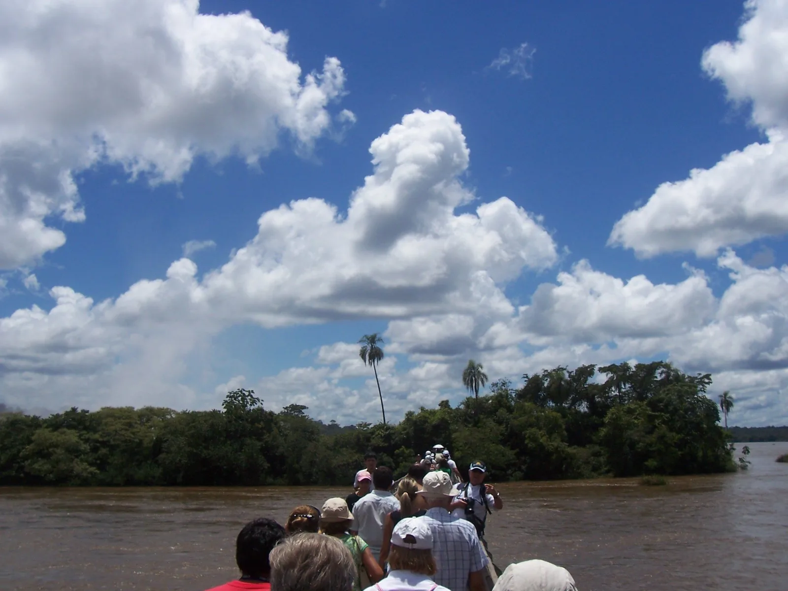
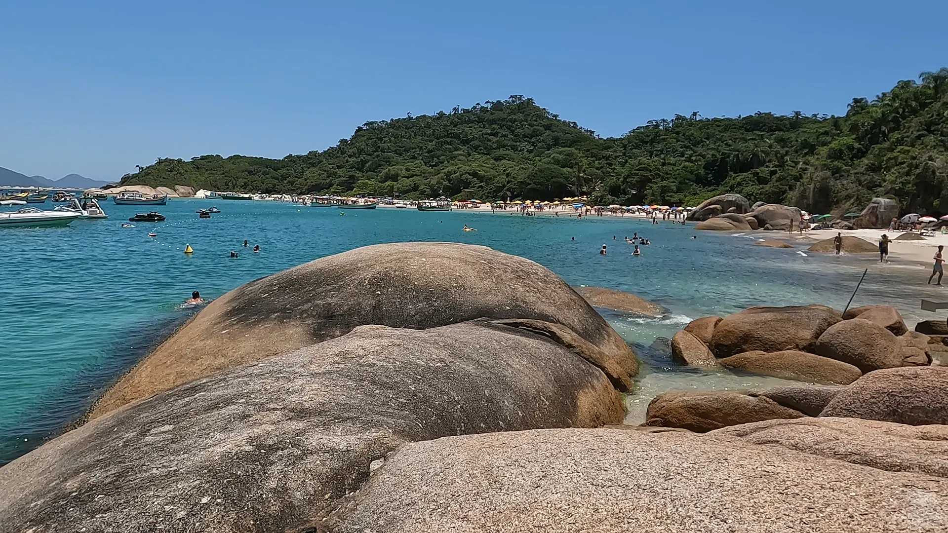
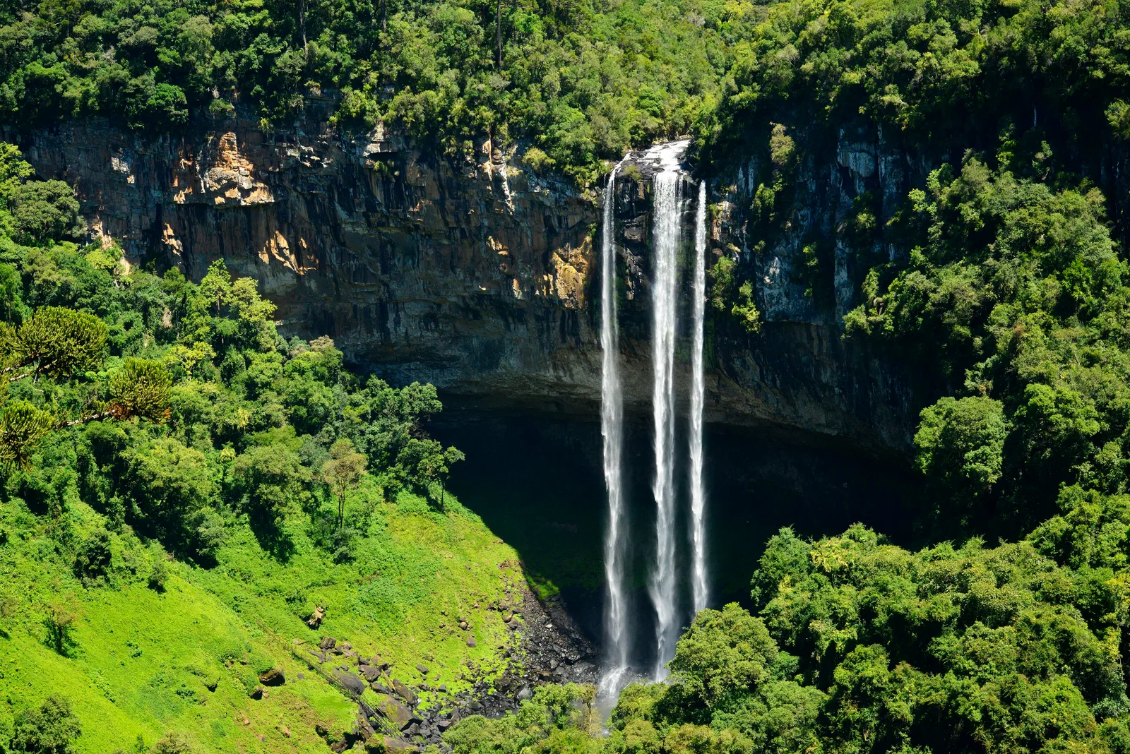
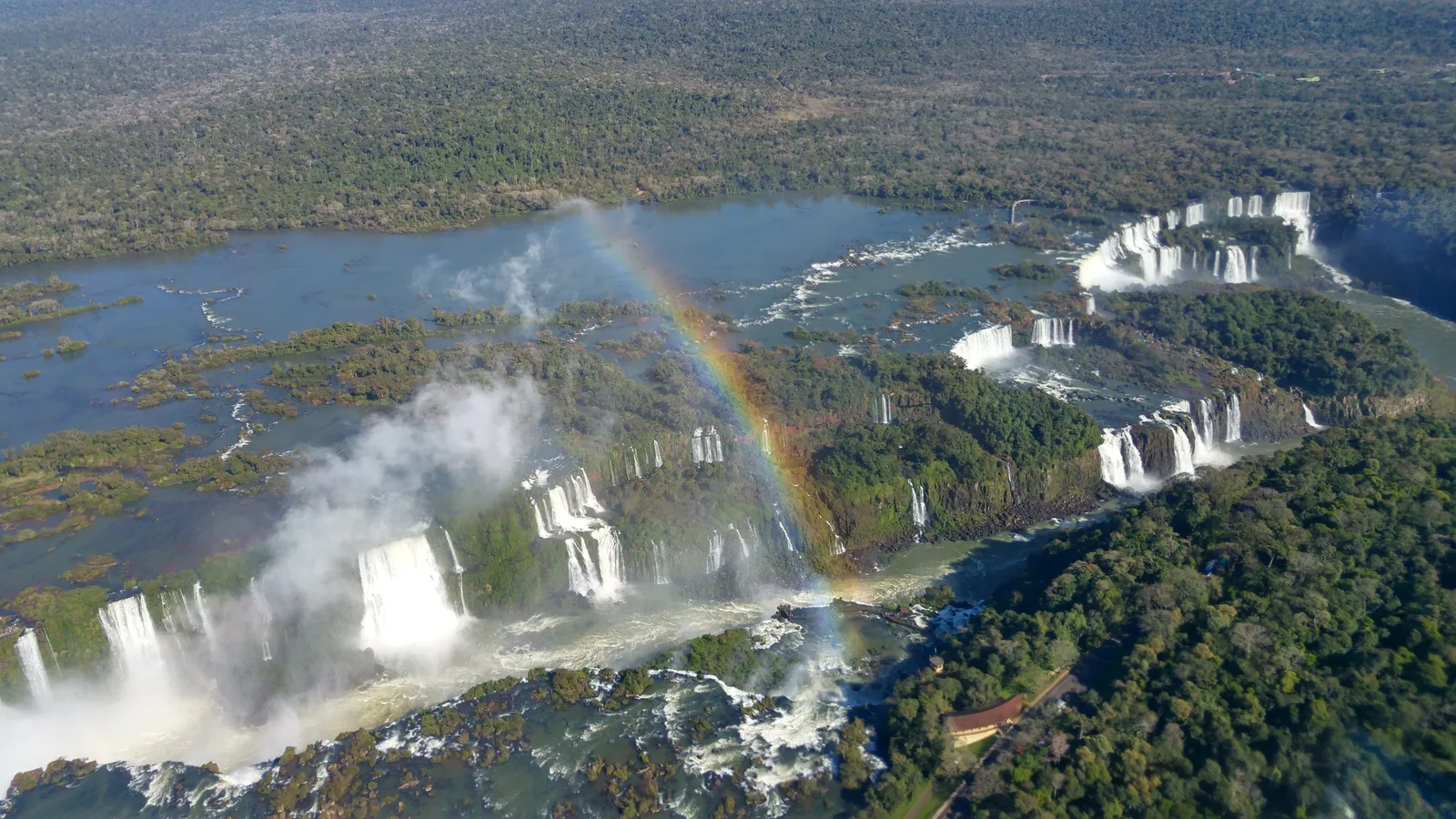
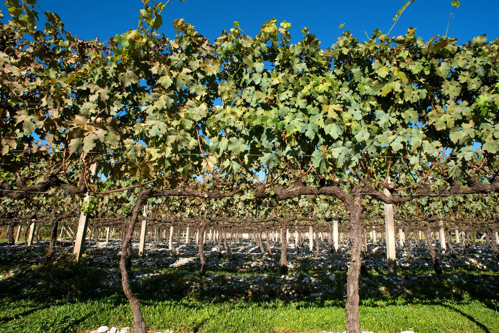
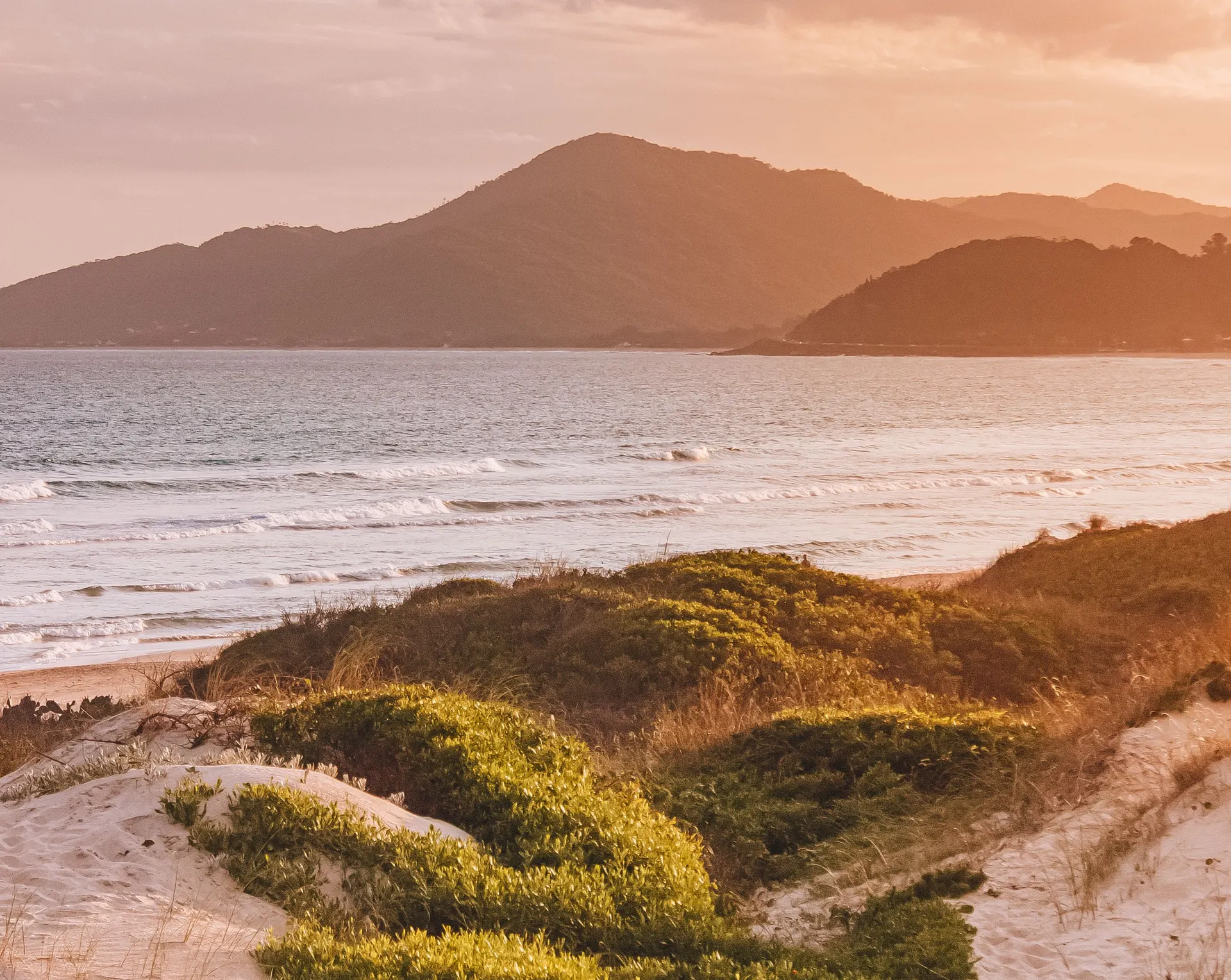
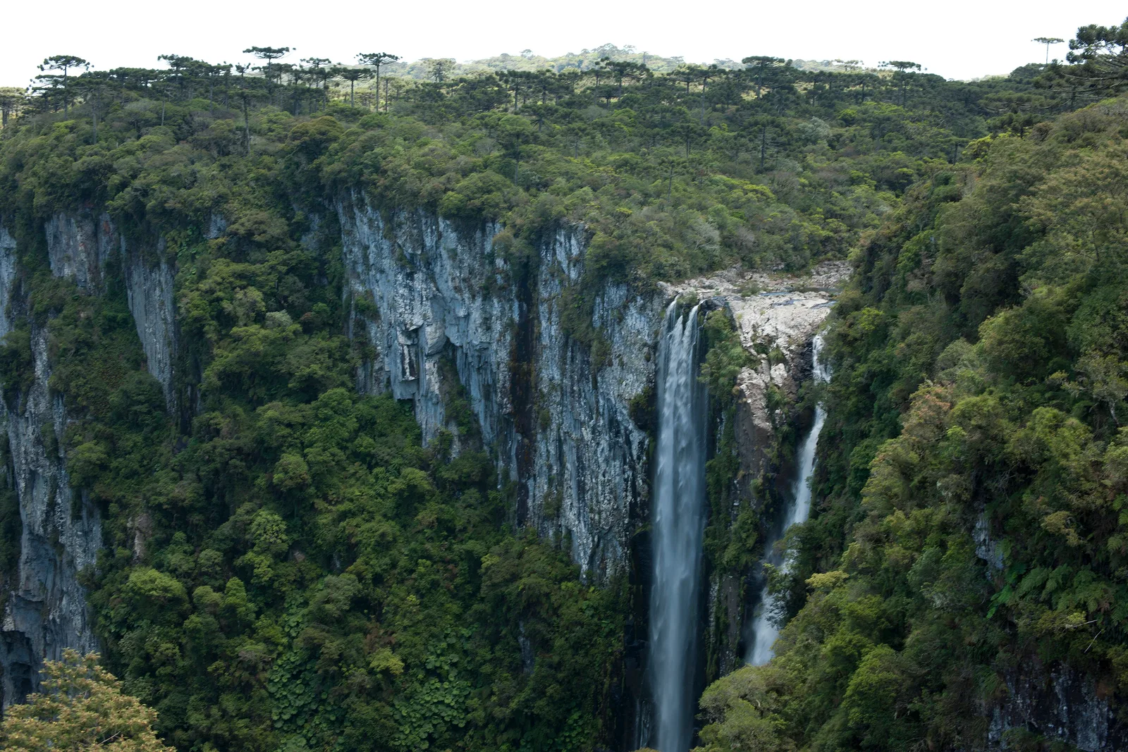
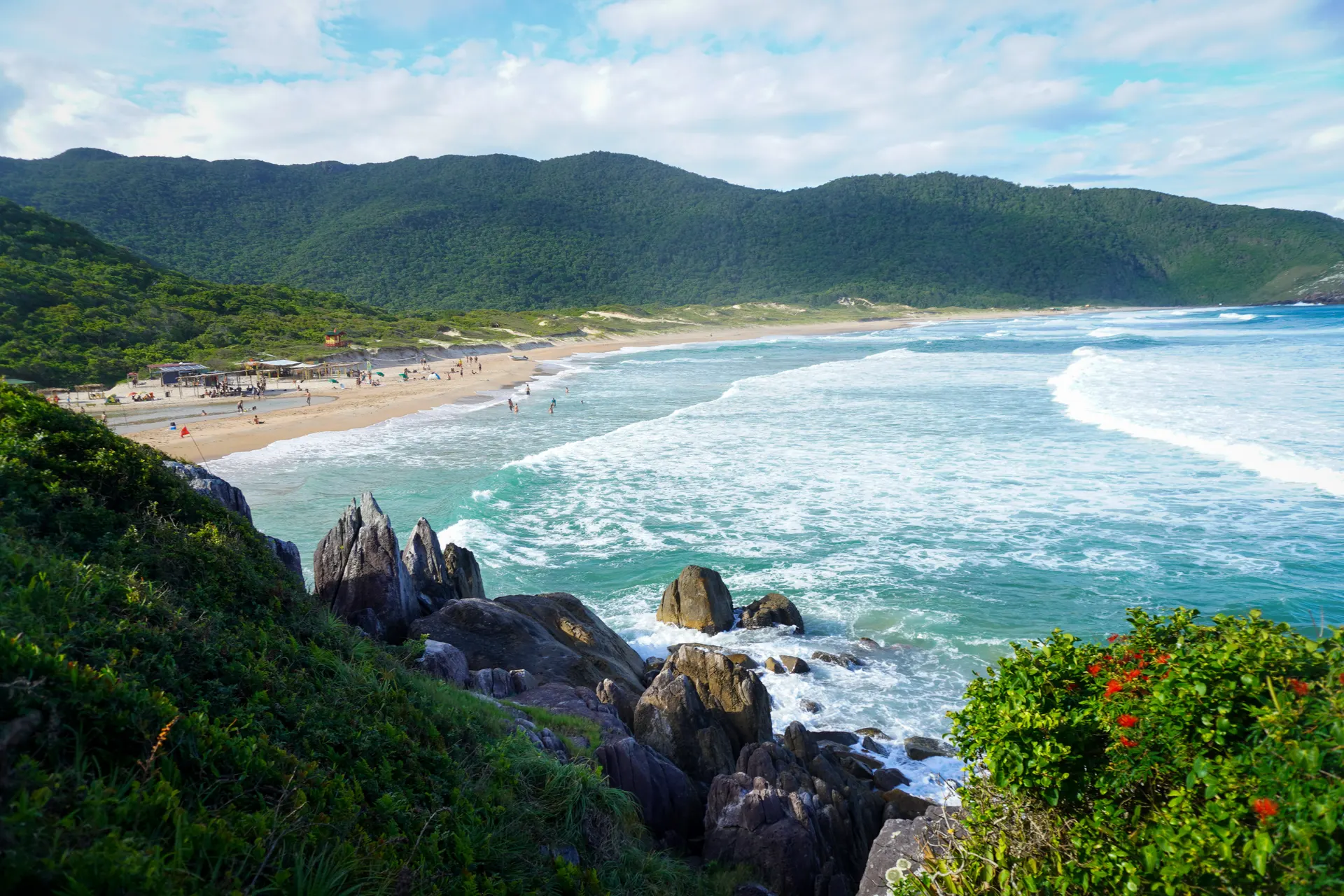
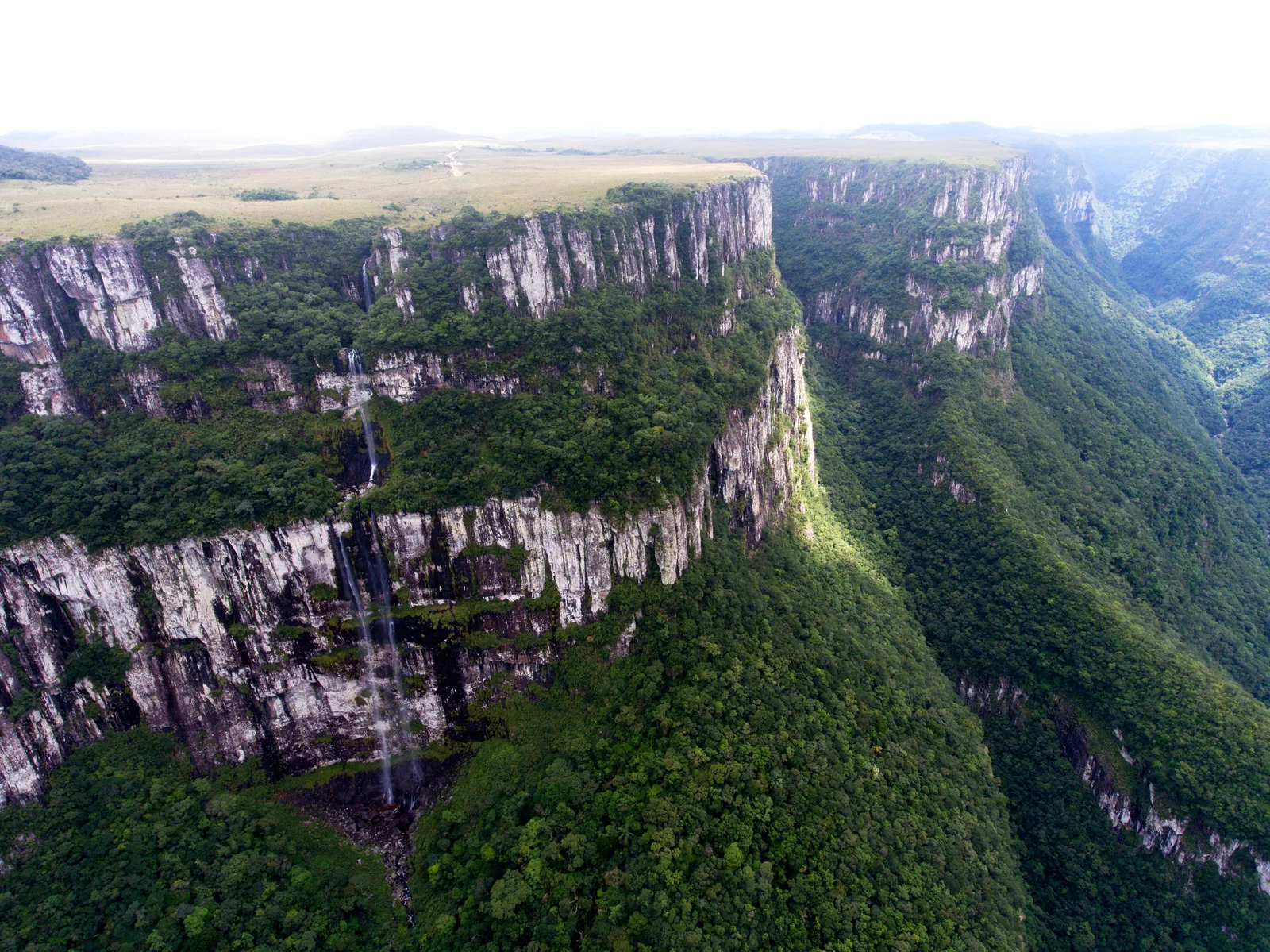
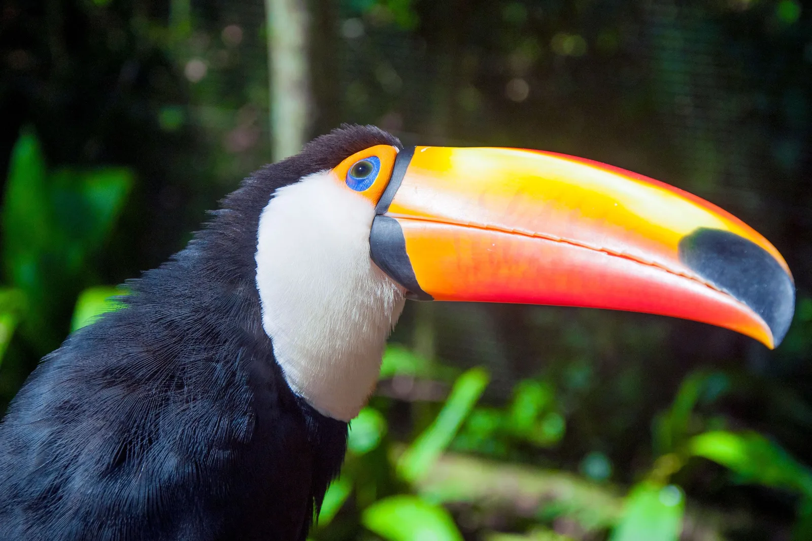
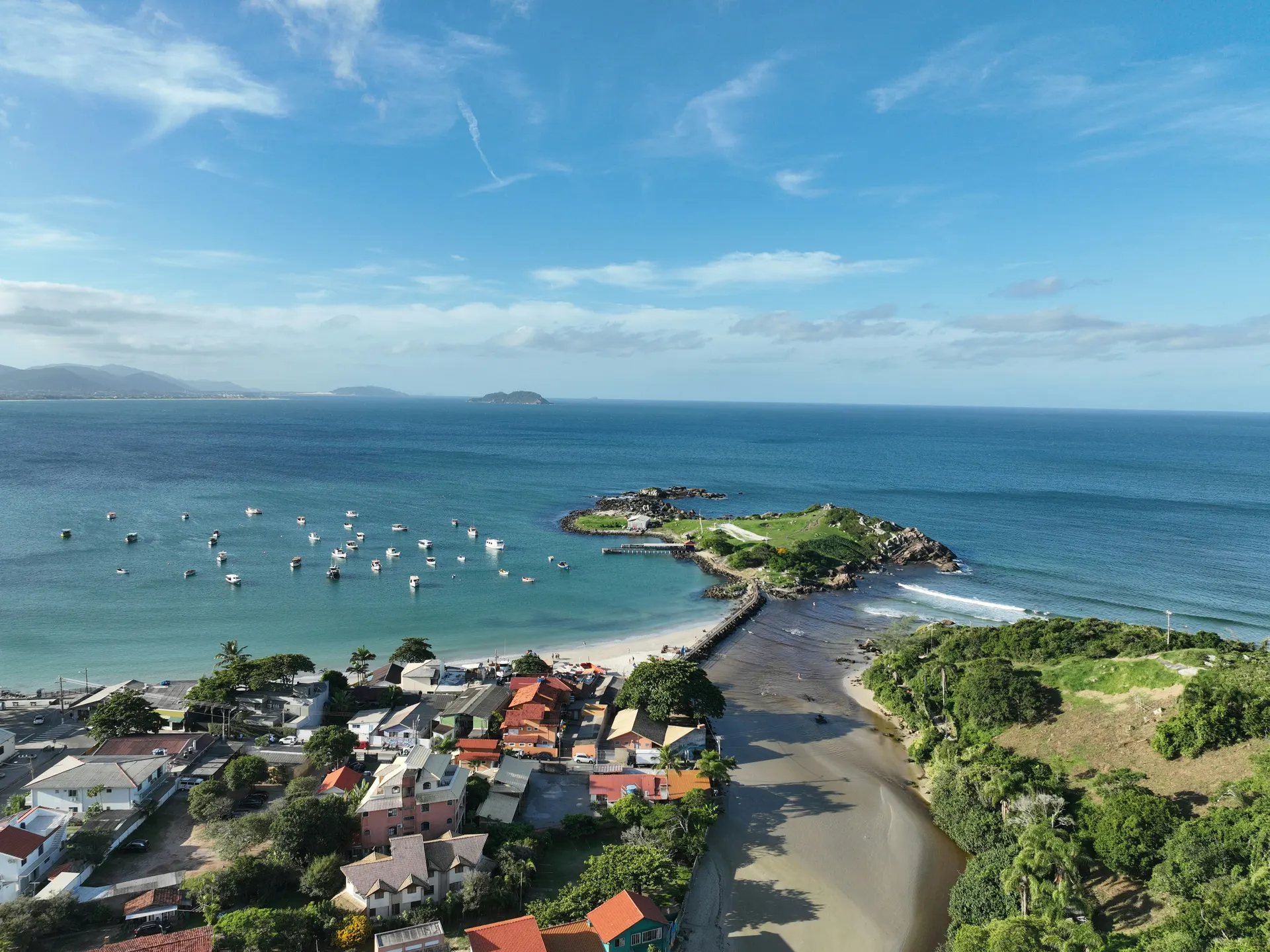
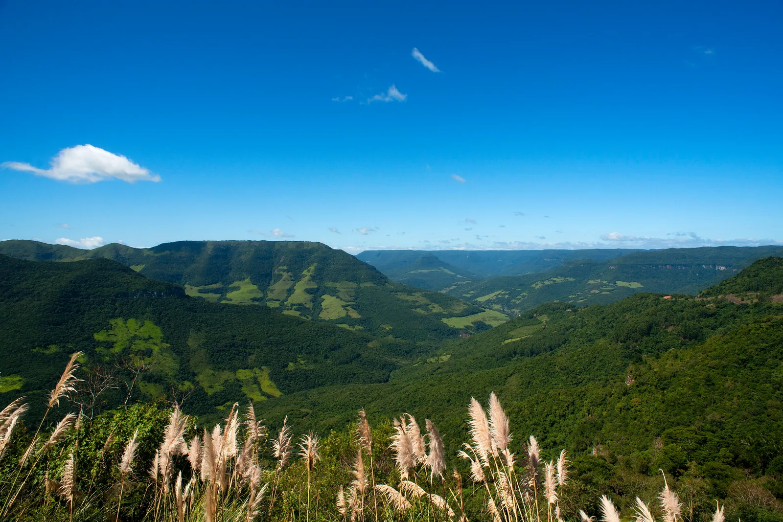
The South sits below the Tropic of Capricorn, and that changes everything. It has four real seasons, the highlands see frost in winter and, now and then, snow, and the architecture and food in towns like Blumenau, Gramado and Bento Gonçalves come straight from 19th-century European settlement. It's also the wealthiest and most developed part of the country, with the best roads and the highest quality of life indicators.
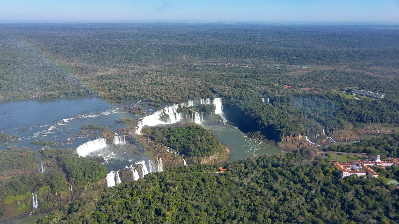
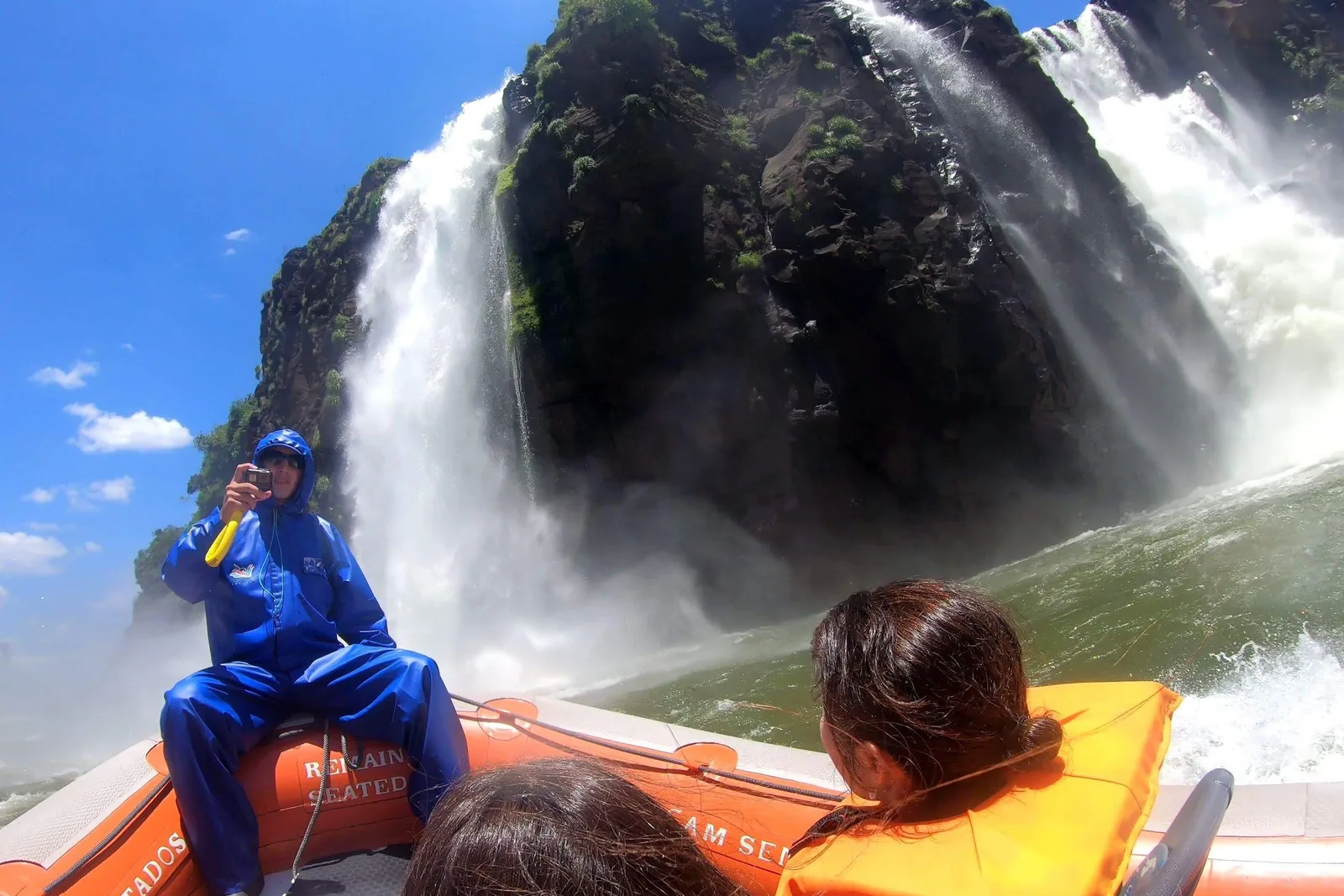
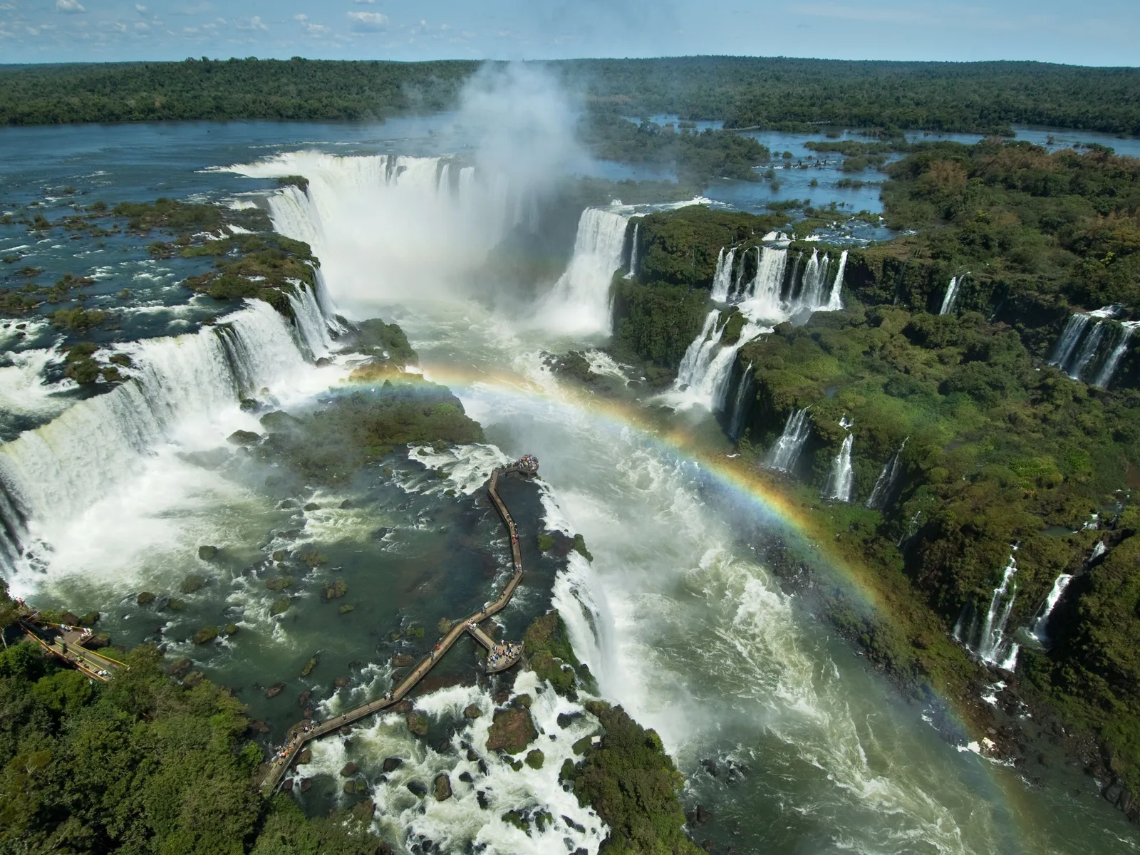
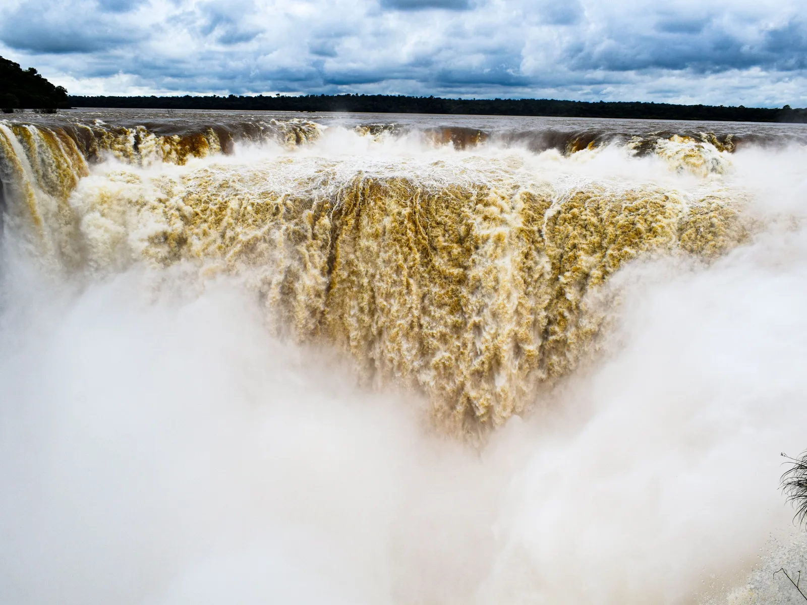
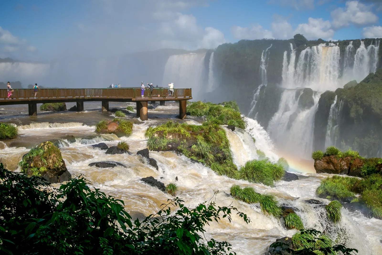
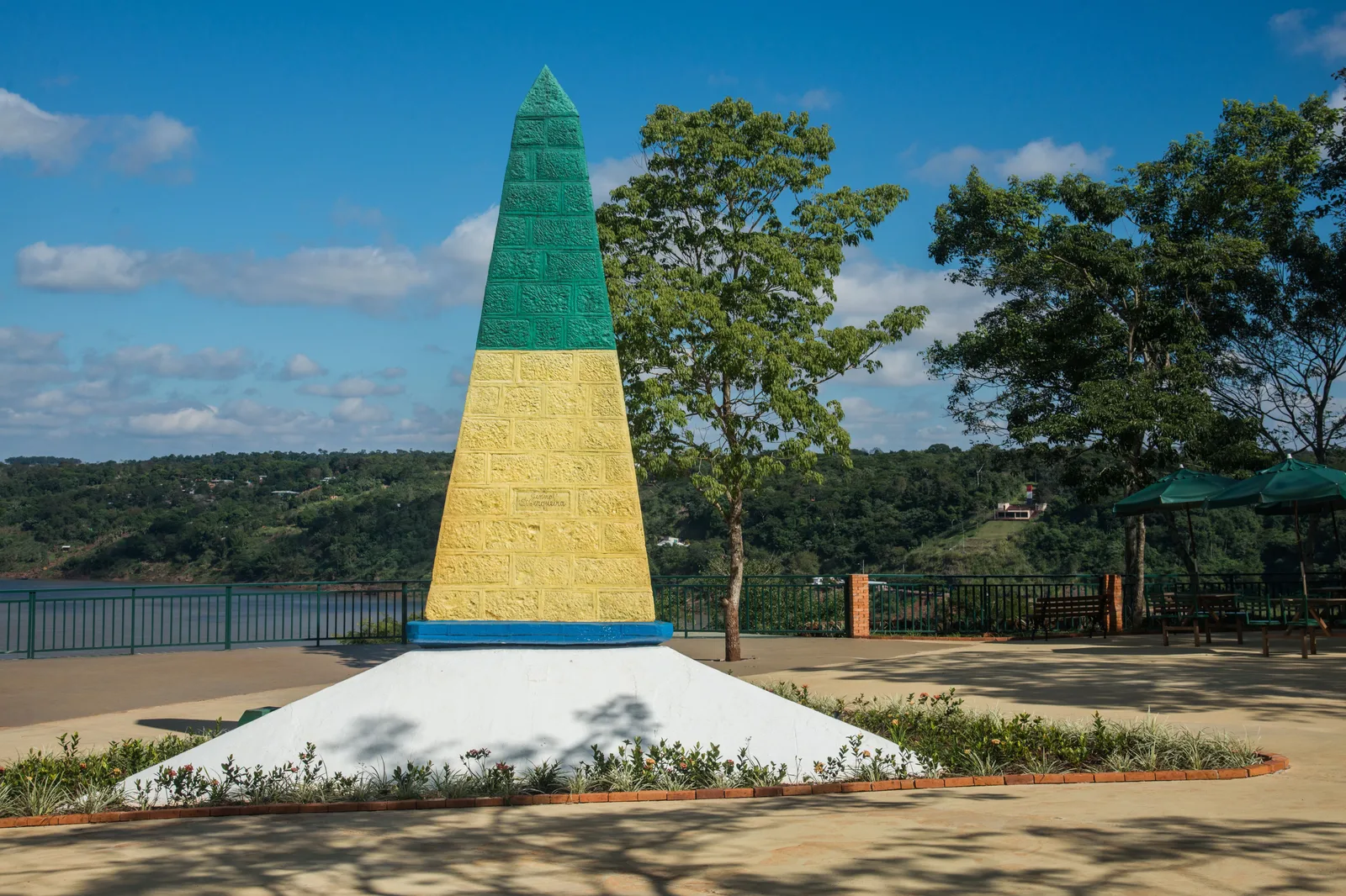
Iguaçu Falls earns its reputation. Two hundred and seventy-five separate cascades spread across nearly three kilometers on the Brazil-Argentina border, taller than Niagara and far wider, dropping through subtropical rainforest full of coatis and toucans. Eleanor Roosevelt is said to have remarked 'poor Niagara' on seeing it, and the comment still holds up.
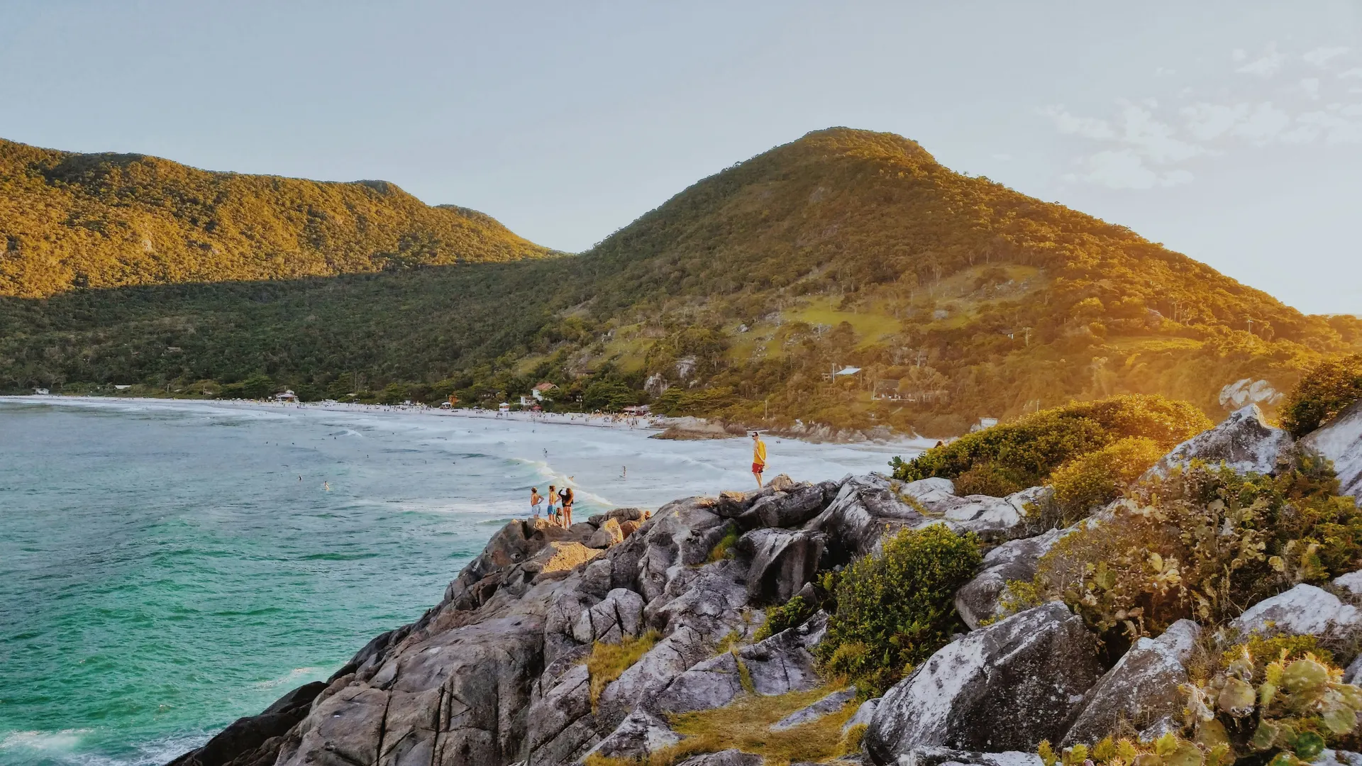
Santa Catarina brings the coast: Florianópolis, an island with 42 beaches, plus the surf coast running south toward Praia do Rosa, where southern right whales calve between June and November. Rio Grande do Sul is gaúcho country: cattle, churrasco done properly, the Vale dos Vinhedos wine region, and the Aparados da Serra canyons, among the most dramatic and least visited landscapes in Brazil.
Where to go in the South
-
Paraná · 2–3 nights
Foz do Iguaçu
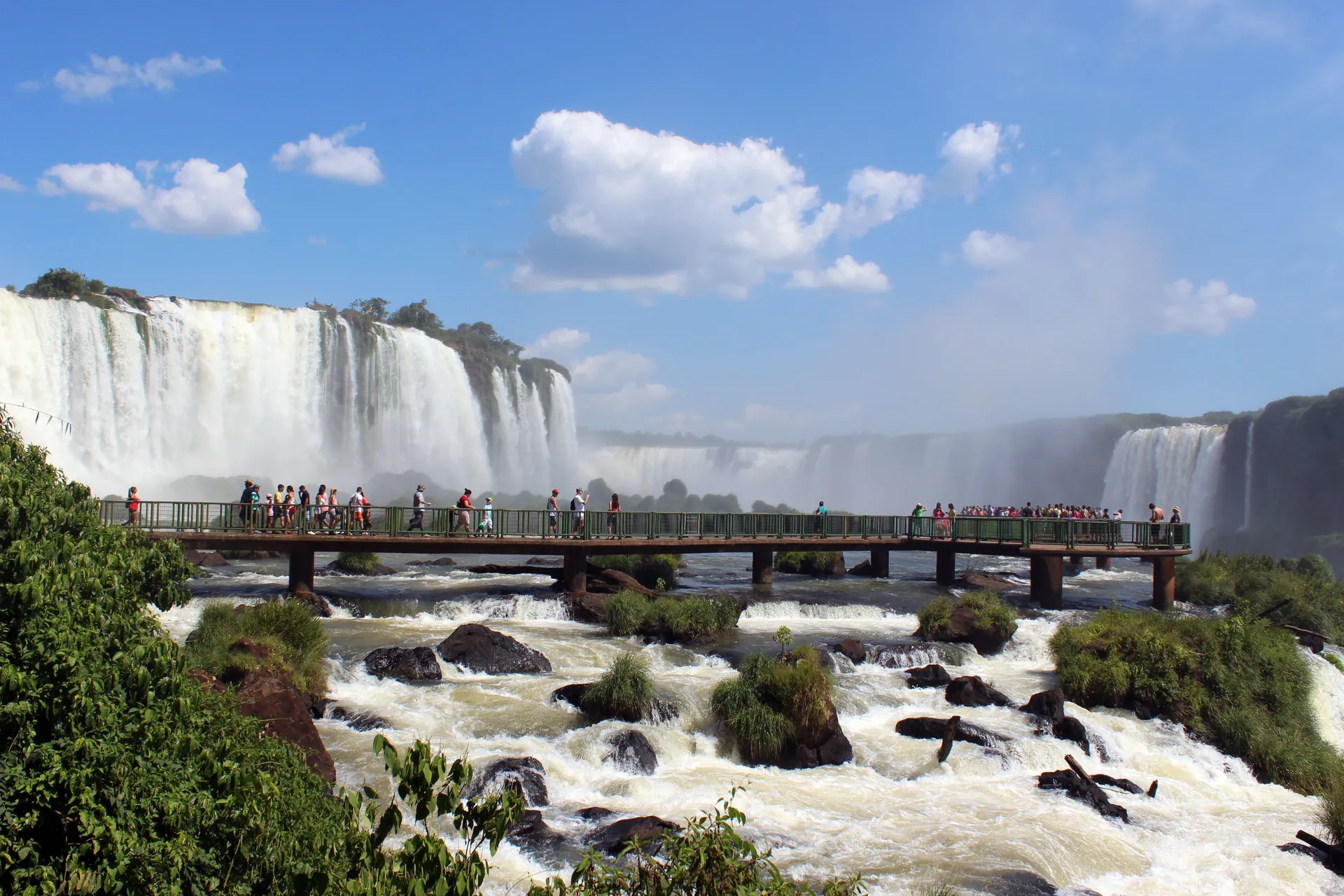
Two hundred and seventy-five waterfalls over 2.7 kilometers, most violent at the Devil's Throat, where fourteen separate falls converge into one gorge and throw up spray you can see for kilometers. Both countries run a national park here, and you want both. Brazil gives you the panorama. Argentina puts you on catwalks directly above and beside the water.
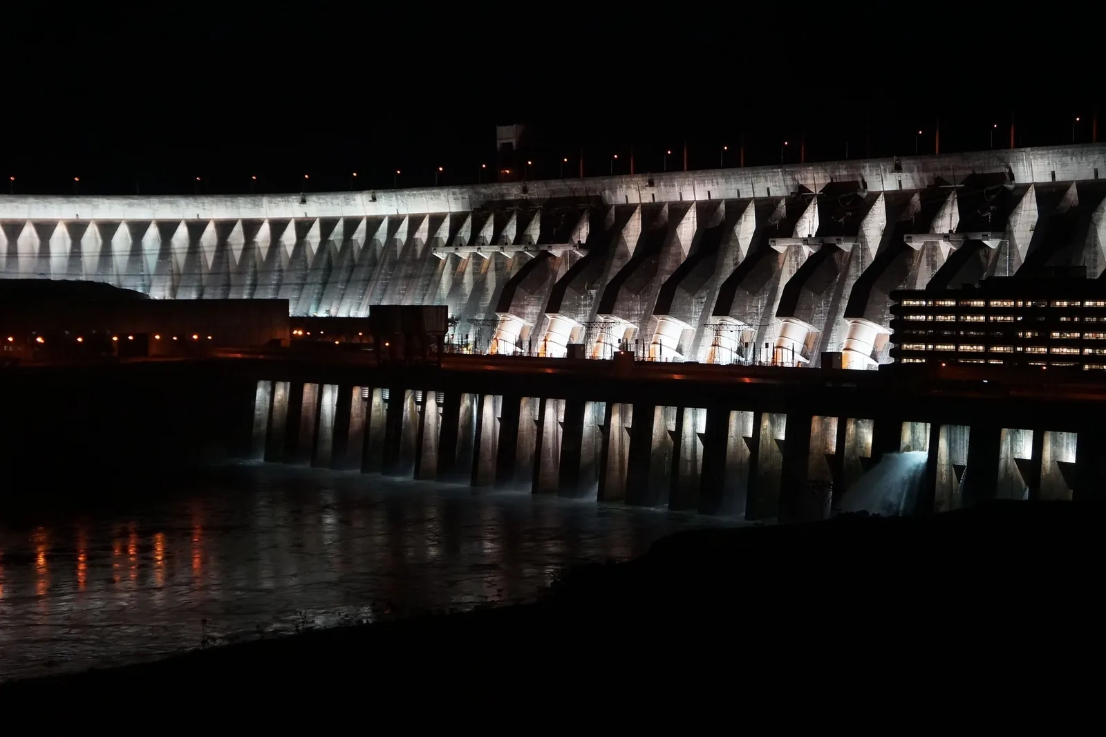
Plan a full day per side. Add the Macuco Safari boat, which runs you under the falls, and the Parque das Aves, a serious bird rehabilitation center rather than a zoo, where you walk through aviaries with toucans and macaws. Itaipu Dam, once the largest hydroelectric plant in the world, sits nearby if that interests you.
- The Brazilian side for the panorama and the Devil's Throat walkway
- The Argentine side for the upper and lower circuits, up close
- Macuco Safari, a boat that takes you under the falls
- Parque das Aves, walk-through aviaries beside the park entrance
- A helicopter flight over the whole horseshoe
-
Santa Catarina · 4–5 nights
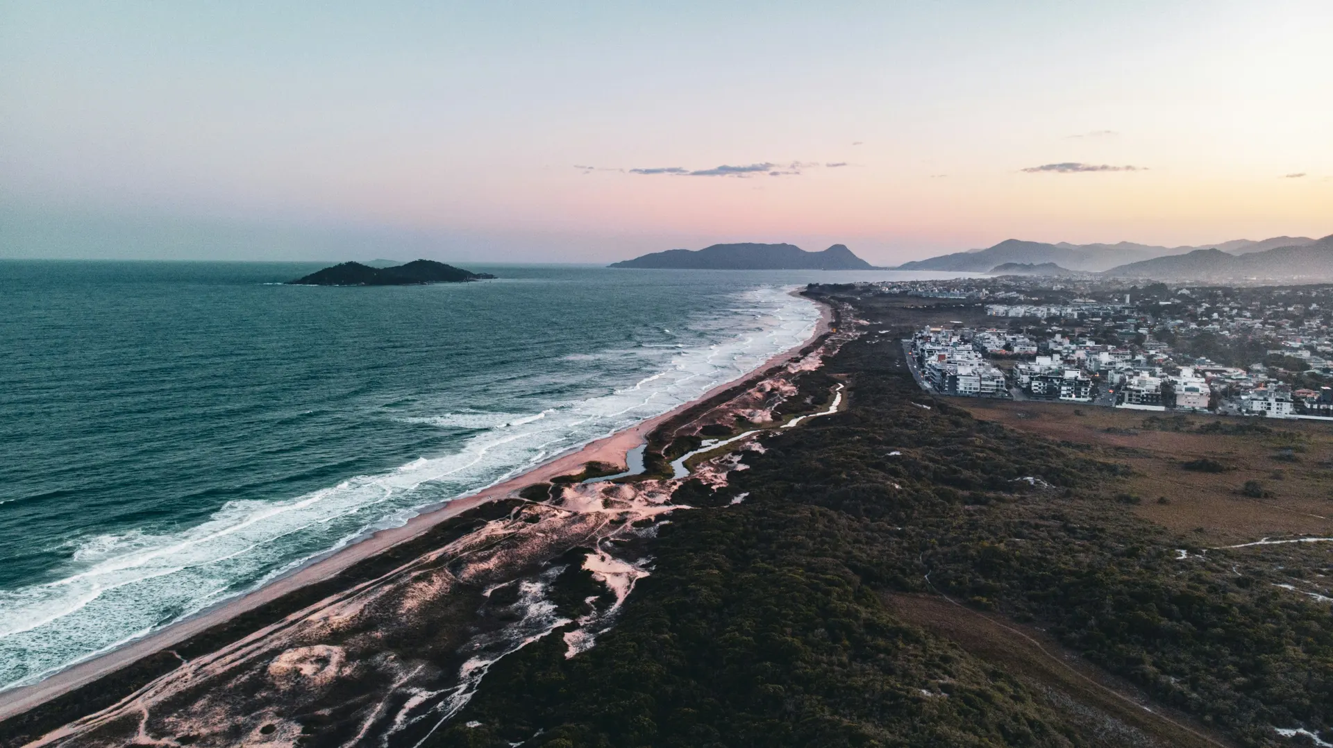
Florianópolis
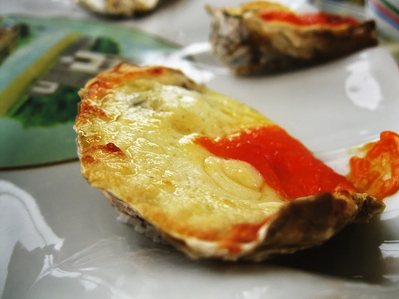
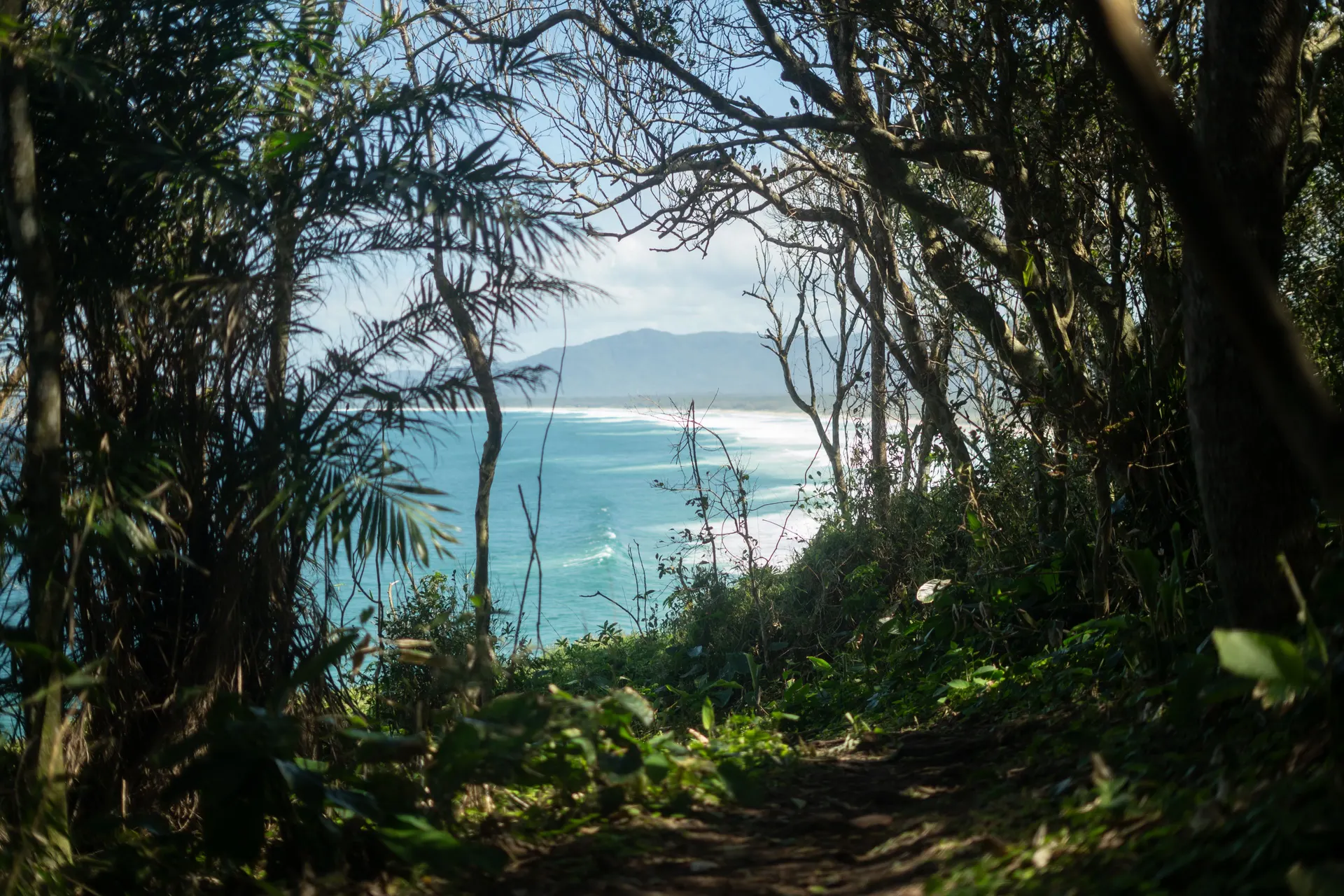
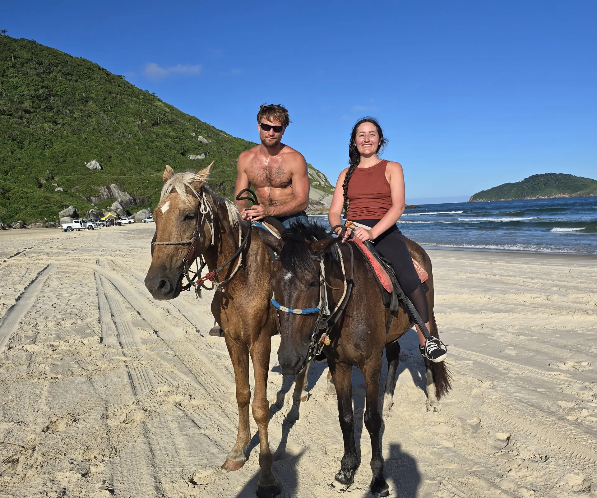
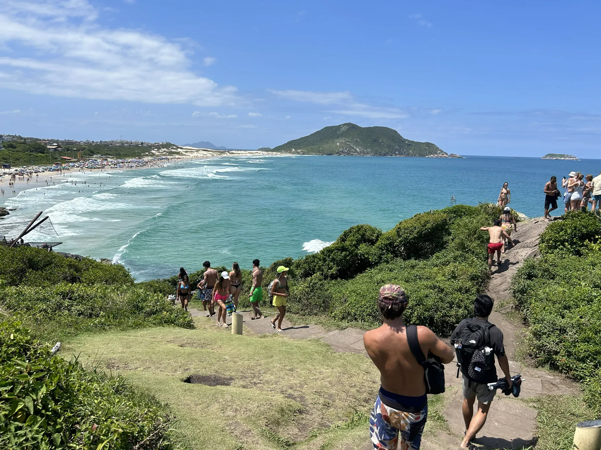
An island with 42 beaches, connected to the mainland by bridge, and the place your planner lives. The east coast has Atlantic swell and sand dunes. The middle holds Lagoa da Conceição, a warm inland lagoon with the island's social life around it. The north and south bays hold 18th-century Azorean fishing villages that still farm oysters the way they always have.
It runs quieter, greener and more outdoorsy than Rio or Salvador, and it feels lived-in rather than built for visitors. This is the one destination on this site written entirely from the inside.
- Sandboarding the dunes at Joaquina
- Ilha do Campeche, clear water and 1,000-year-old rock carvings
- Oysters at Ribeirão da Ilha or Santo Antônio de Lisboa
- The Lagoinha do Leste hike to a beach you can only walk to
- The Hercílio Luz bridge lit up after dark
-
Rio Grande do Sul · 3–4 nights
Gramado & Canela
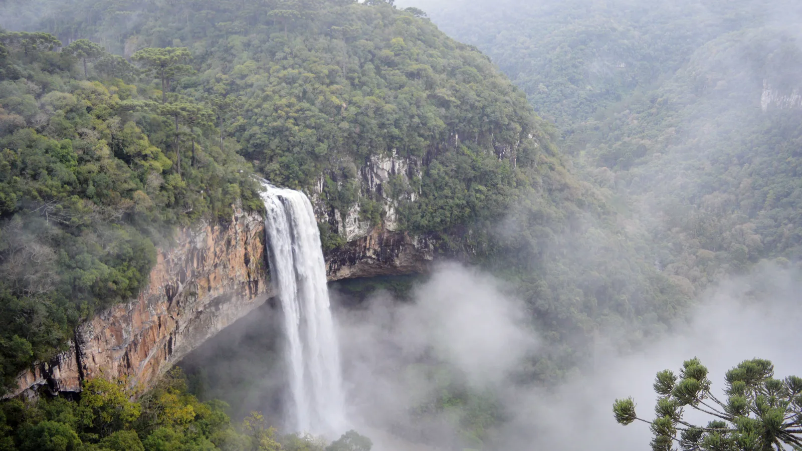
Two small mountain towns side by side on the edge of the plateau, at about 830 meters, and the closest Brazil comes to a real winter: fog in the streets, frost on cold mornings, and a town that runs on fondue, chocolate and fireplaces. Gramado turned to tourism on purpose in the 1950s, and its Alpine look was adopted for visitors.
Around the towns are araucaria forests and the Caracol waterfall, and Natal Luz fills Gramado for almost three months from late October. The wine country of the Vale dos Vinhedos, around Bento Gonçalves, is an hour or two away as a day trip.
- The Caracol waterfall and its park
- The Lago Negro and the araucarias
- The Rua Coberta and the Avenida Borges de Medeiros
- The Catedral de Pedra in Canela
- A day in the Vale dos Vinhedos
-
Rio Grande do Sul & Santa Catarina · 4–5 nights
Aparados da Serra
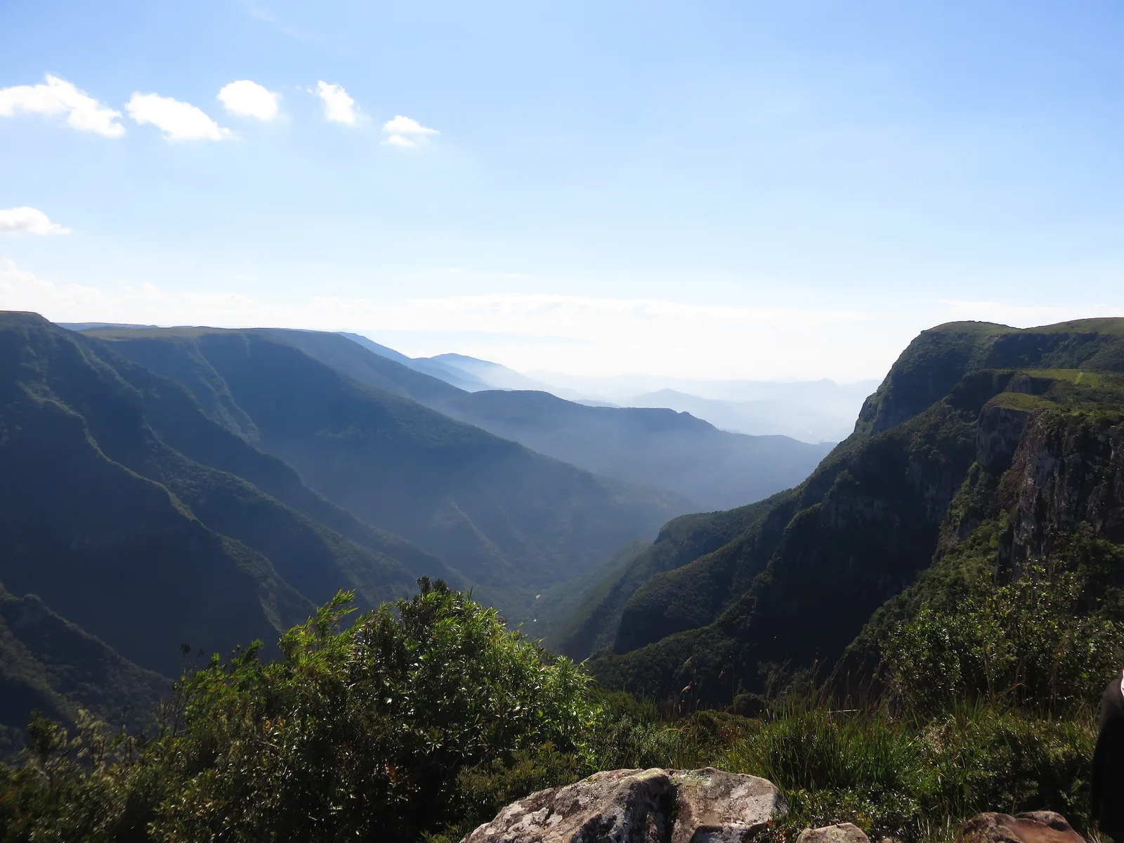
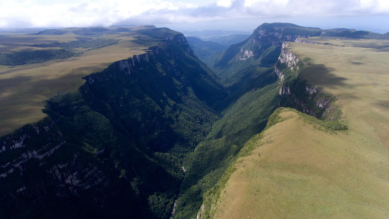
Along the border between Rio Grande do Sul and Santa Catarina, the high southern plateau ends without warning: grassland and araucaria forest run flat to a line of basalt cliffs, then drop to a forested valley floor. The Itaimbezinho and the Fortaleza are the two famous canyons, in two national parks side by side.
Cambará do Sul on the rim and Praia Grande at the foot are the two bases, and the road between them is open only in short windows. Cloud decides the views, so aim for the rim from mid-morning to early afternoon and book with a spare day behind you.
- The rim trails at the Itaimbezinho
- The Fortaleza canyon and its viewpoints
- A guided day wading the Rio do Boi on the canyon floor
- The Malacara canyon from Praia Grande
- The grasslands of the Campos de Cima da Serra
More of the South
When to go to the South
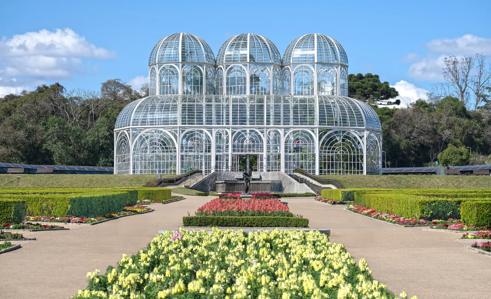
The South has real seasons - it is the one part of Brazil where winter means something. April is the month most of it agrees on, mild and dry on the coast and on the plateau. The Serra Gaúcha peaks a month earlier with the harvest, Foz do Iguaçu a month later, and winter brings whales, wine and, in the highlands, frost.
- Best — The one or two peak months
- Good — A real recommendation
- Trade-offs — Workable, with a catch
- Jan
Peak summer. Florianópolis is packed and brilliant, and at its wettest of the year, 241 mm. Iguaçu is hot and humid.
- Feb
Still summer, still busy, and the sea is at its warmest. Prices ease once Carnival passes.
- Mar
The Serra Gaúcha's own peak: one of the driest and sunniest months in the hills, still warm, with the harvest wrapping up in the Vale dos Vinhedos. On the coast the sea is still at 26°C, though Florianópolis takes 180 mm across fourteen days.
- Apr
The peak: Florianópolis at 115.8 mm on nine rain days, the fewest of its year, with the sea still at 24.5°C, and Cambará do Sul at 113.8 mm, one of its two driest months, before the plateau's frost sets in. Mild and clear at Iguaçu too, and the first autumn color in the Serra Gaúcha.
- May
Foz do Iguaçu's own peak: 127.6 mm on six rain days, the equal-fewest of its year, with comfortable days and cool nights. Autumn in the wine country.
- Jun
Cold in the highlands, sometimes frosty. The whales arrive at Praia do Rosa.
- Jul
The coldest month. Gramado does the full winter-resort thing, with the coldest nights of the year and the most fog. Whales down the coast at Praia do Rosa.
- Aug
Still cold inland, still whales on the coast. Iguaçu is one of its own two driest months and comfortable to walk, though what the falls are doing depends on rain 600 km upstream, not on Foz.
- Sep
Spring, and everything reopens. Florianópolis is at its least sunny, 141 hours, and Cambará do Sul is tied for its wettest month.
- Oct
Warm days and green highlands, with the whales still down the coast. Florianópolis takes 153 mm on thirteen days and it is the second-dullest month there.
- Nov
Warm and bright, with the sea back up to 22.5°C and 180 hours of sun at Florianópolis, its best outside summer. Still 147 mm across thirteen rain days.
- Dec
Summer arrives and so does everyone else. Florianópolis peaks here on Réveillon rather than on the weather — 191 hours of sun and 177 mm, against January’s 241. Book the coast well ahead of the 20th.
Dates worth planning around
-
Southern right whale season
June to November
The whales calve in the bay at Praia do Rosa, close enough to watch from the cliffs. Instituto Australis, which runs the Projeto Baleia Franca research on this coast, puts the peak in September. Worth a morning if you are already here; it is not a reason to fly to Brazil.
-
Grape harvest, Serra Gaúcha
January to March
Bento Gonçalves and the Vale dos Vinhedos run tastings, vineyard lunches and harvest festivals throughout.
-
Natal Luz, Gramado
Late October to January
Brazil's largest Christmas festival, in a town that already looks like a Bavarian film set. Book months ahead.
-
Iguaçu's flow
Any month
The falls answer to rain across a basin more than 600 km upstream, not to the weather in Foz, so no month guarantees you a big one. The concessionaire's own record puts its largest recent flow in October 2023, at sixteen times the average, and its 2024 peaks in May and July.
Getting around the South
Distances are short, the roads are the best in the country, and four airports cover the region between them. This is the easiest part of Brazil to drive yourself.
Where to fly into
-
Foz do Iguaçu (IGU)
Ten minutes from the falls, on domestic connections through São Paulo, Rio and Curitiba.
-
Florianópolis (FLN)
A modern terminal on the island itself, with a handful of international routes.
-
Porto Alegre (POA)
For the Serra Gaúcha wine country and the southern canyons.
-
Curitiba (CWB)
For Paraná, and the start of the Serra Verde train down to the coast.
Between the places on this list
- 20min
Foz do Iguaçu to The falls
The Brazilian park is twenty minutes from town; the Argentine side is about an hour with the border crossing. Do both, on separate days.
- 1h30
Florianópolis to Praia do Rosa
South on the BR-101. The whale-watching boats leave from Garopaba and Imbituba.
- 2h
Porto Alegre to Bento Gonçalves
Straight into the wine country on good road.
- 3h30
Porto Alegre to Cambará do Sul
Paved until the last stretch. The roads along the canyon rims are gravel and best driven in daylight.
- 4h
Curitiba to Morretes
The Serra Verde Express down through Atlantic forest to the coast. Sit on the left.
- 1h20
Florianópolis to Foz do Iguaçu
Or eleven hours by road. Fly.
Once you are there
-
Florianópolis
The island is 54km long and the beaches are spread down all of it. Without a car you will see one or two; with one you will see a dozen.
-
Gramado and Canela
Both centers are walkable, but everything else in the Serra - wineries, canyons, waterfalls - needs wheels.
Should you rent a car?
Yes. More so than anywhere else in Brazil.
The roads are well maintained and signposted, the distances are short, and the best of the South - the Santa Catarina beaches, the wine valleys, the canyon rims - sits precisely where buses do not go. The one exception is Foz do Iguaçu, where everything worth seeing is a short taxi ride from town.
Iguaçu sits on almost every Brazil itinerary and takes two nights. The rest of the South is what you add when you want somewhere cooler, quieter and easier to travel in. It's consistently the part people are most surprised by.
Get trip advice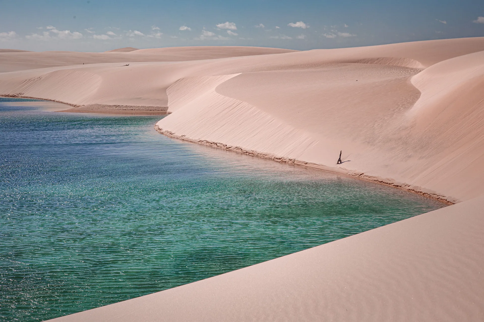 Free · 29 pages
Free guide
Beginner's Guide to Brazil
A free 29-page guide to everything a first-time visitor should know before landing: visas, safety, money, getting around, where to go, and what to eat.
We'll email you a link to confirm your address. Click it and the guide opens right away.