
Skip to content
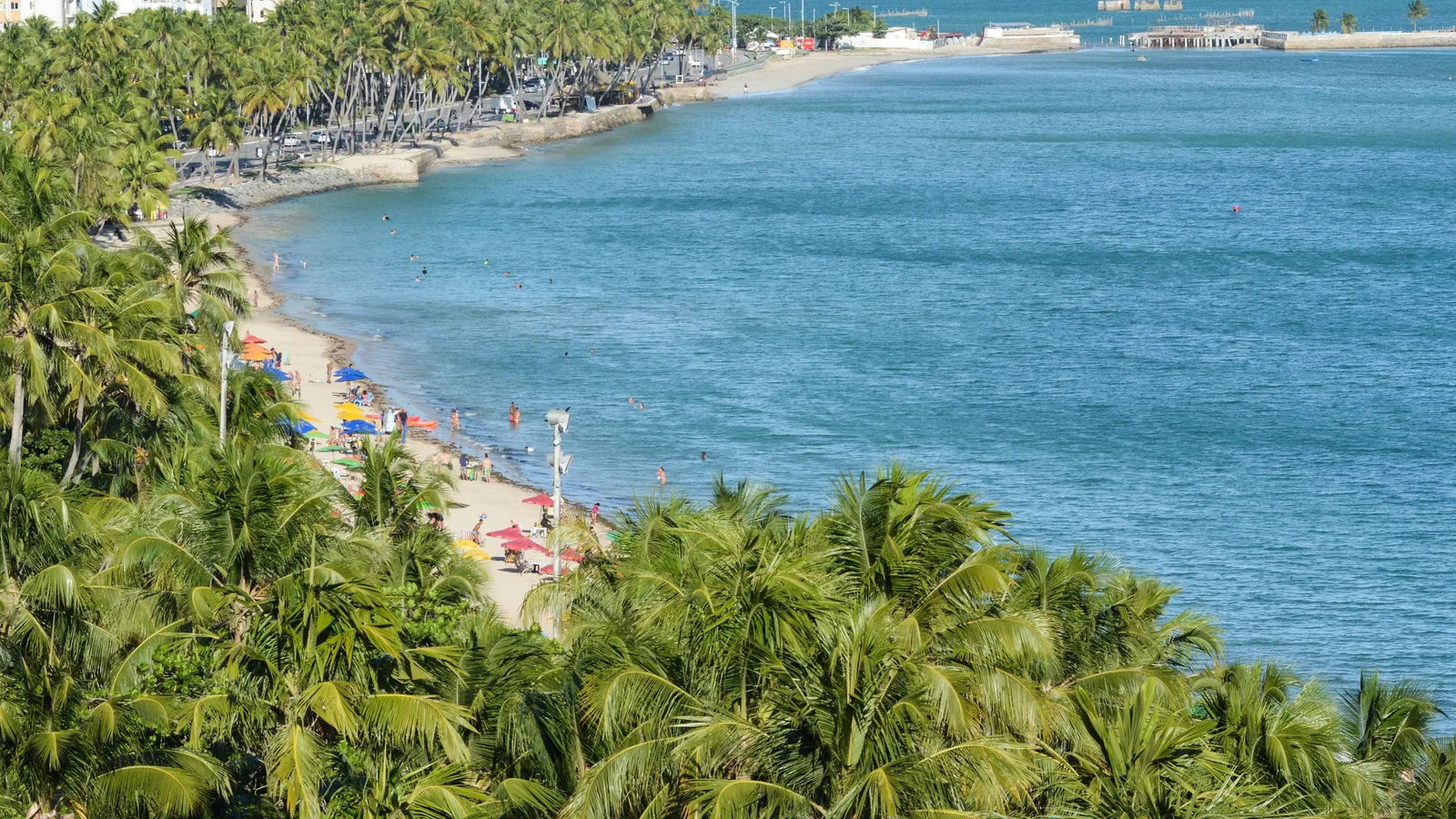
The Maceió seafront from above: coconut palms in the foreground, a curve of pale sand lined with colored parasols behind a low stone seawall, and calm blue-green water running out to a stilted pier and a line of old pilings standing offshore

Alagoas

Maceió

A city you can swim in, at the end of Brazil’s best beach coast.

Last checked September 2026

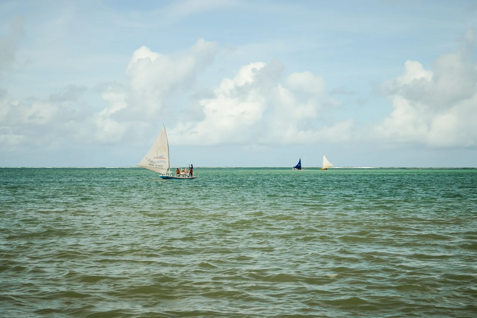
  • Three jangadas under sail on flat green water off Pajuçara, one close in with figures standing aboard and two more far out along the reef line, under a wide cloudy sky
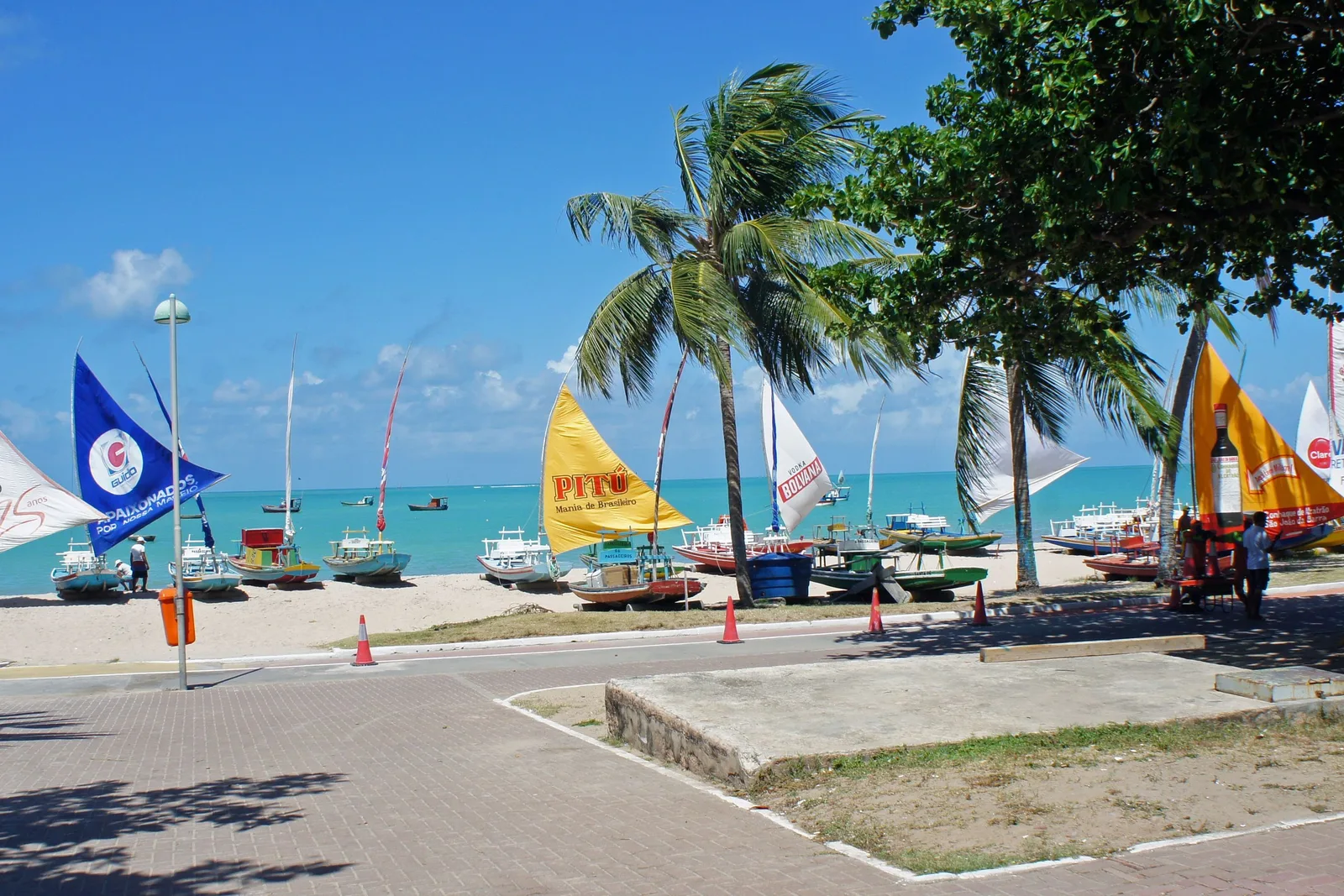
  • The Pajuçara seafront: jangadas drawn up on the sand beyond a paved plaza with their sails hoisted in blue, yellow, white and orange, palms leaning over them and turquoise sea behind
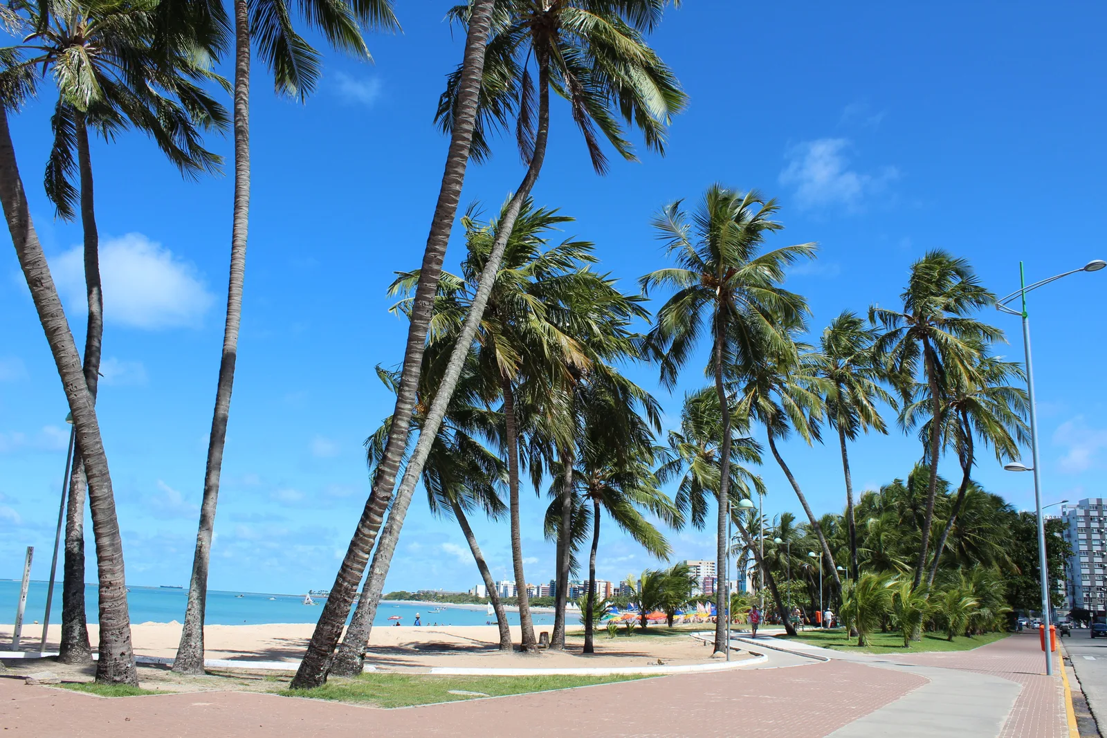
  • A line of coconut palms leaning over the promenade at Ponta Verde with pale sand and turquoise water behind them
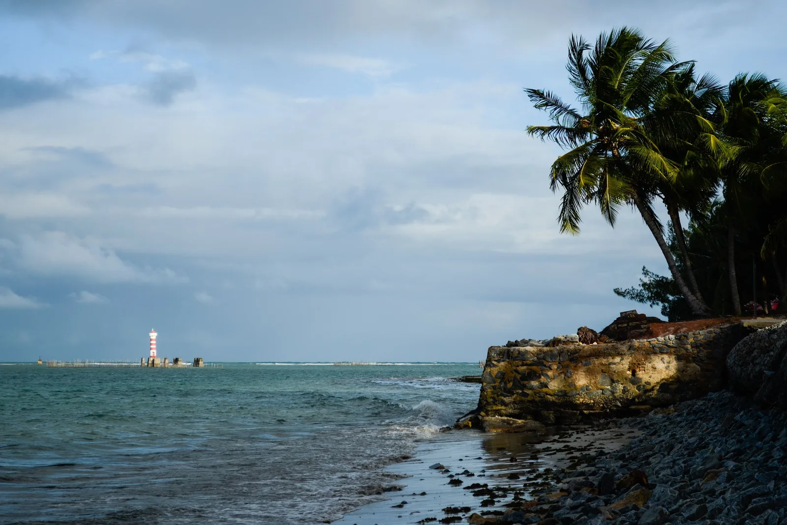
  • The Ponta Verde lighthouse seen low across the water at low tide, dark rocks and palms in the foreground under a flat gray sky
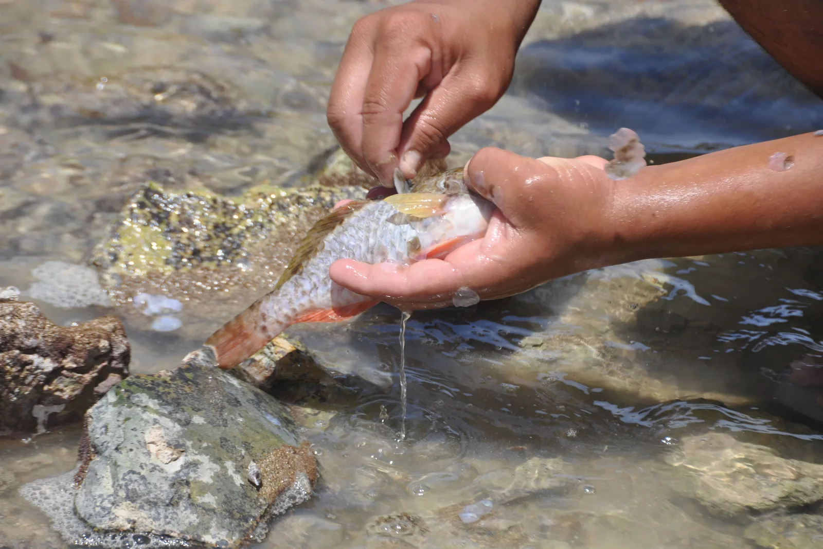
  • Two hands rinsing a small orange-finned reef fish in a clear rock pool, a second fish lying on the wet rock beside them
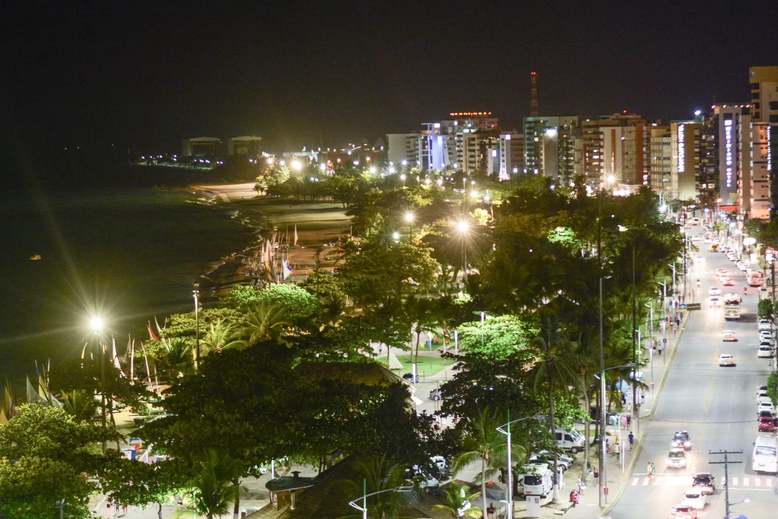
  • The Maceió seafront at night from above: traffic on a lit avenue curving past apartment blocks, with a band of floodlit broadleaf trees between the road and the dark sea
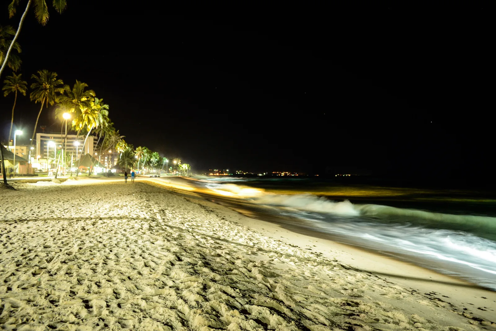
  • Jatiúca beach after dark in a long exposure: surf blurred to white across the sand and the lights of the promenade strung along behind
  • Coiled blue and green rope piled on the yellow deck of a jangada, with the beach and a row of chairs out of focus behind
  • Wooden keyrings painted with beach scenes and the word Maceió, hung in rows on a market stall
  • A craftworker brushing varnish into a shallow red clay bowl held on the lap, with rolled straw matting and stacked yellow-painted wood behind
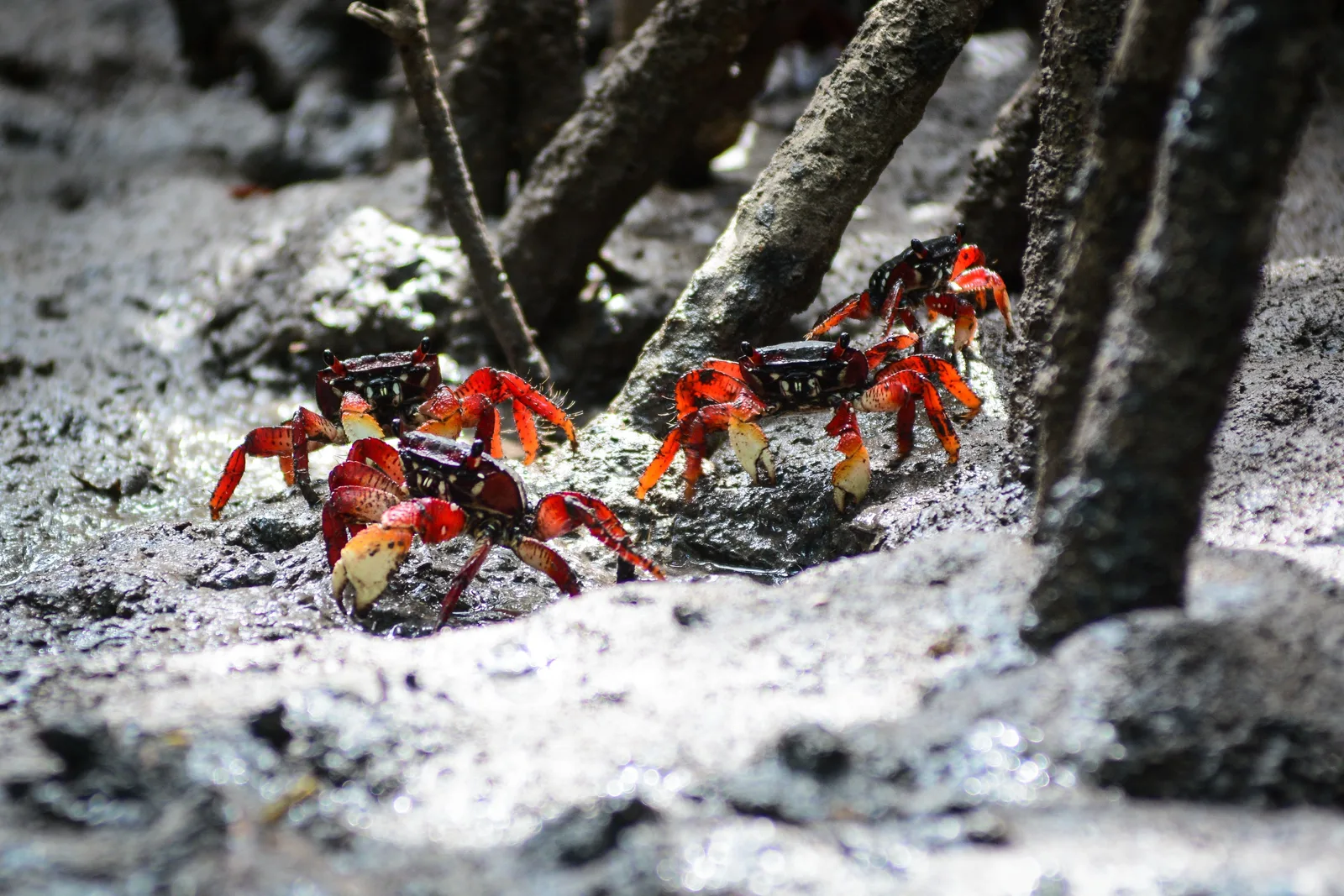
  • Three red and dark-shelled crabs on wet gray mangrove mud among the stilt roots
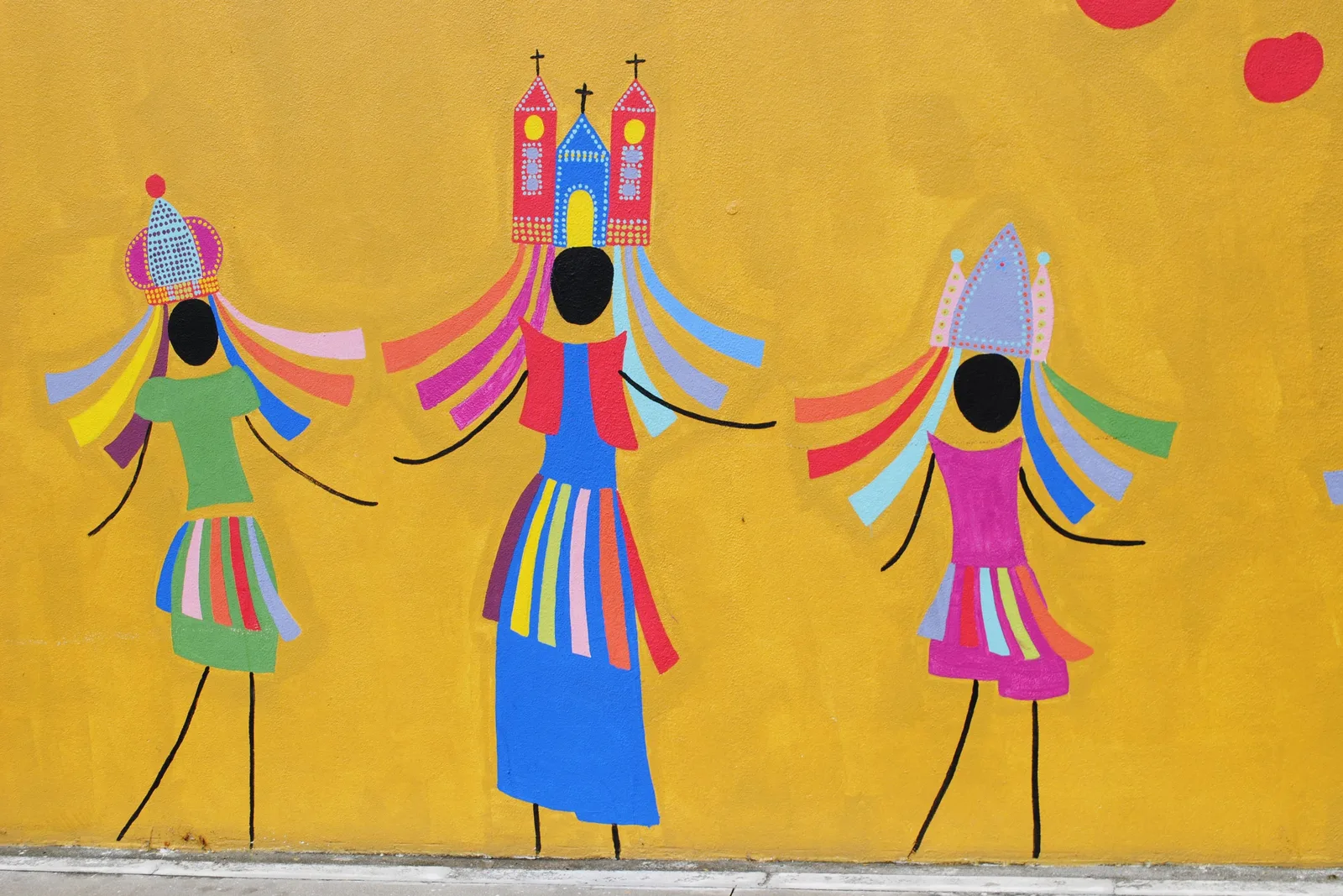
  • A mural on a yellow wall showing three Alagoan guerreiro figures in striped fringed costumes and colored ribbons, the middle one wearing a pink twin-towered church as a headdress
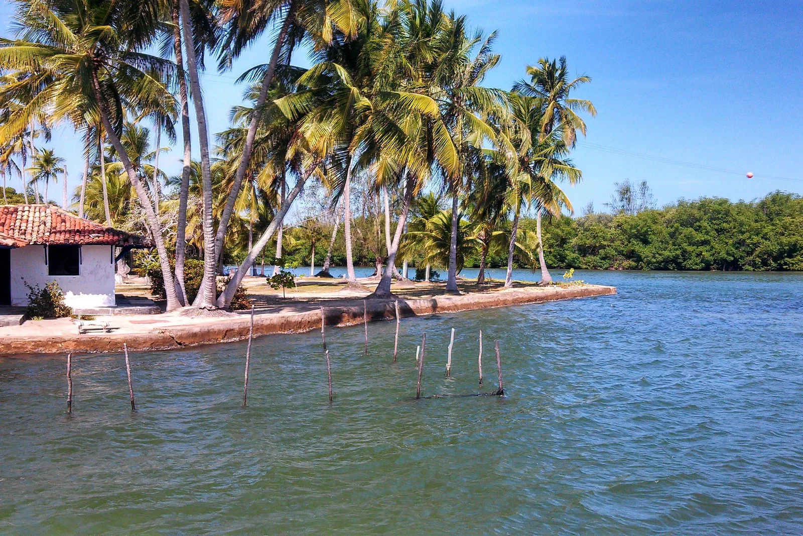
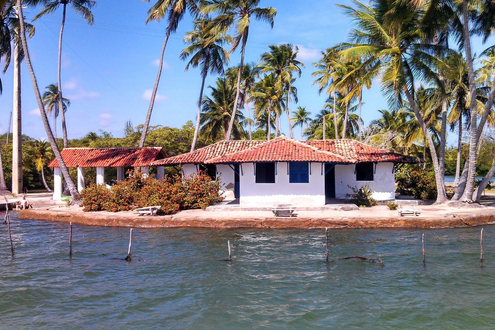
  • A small island on the Mundaú lagoon with a red-roofed white house among coconut palms, a line of fishing stakes standing in the shallow water in front of it
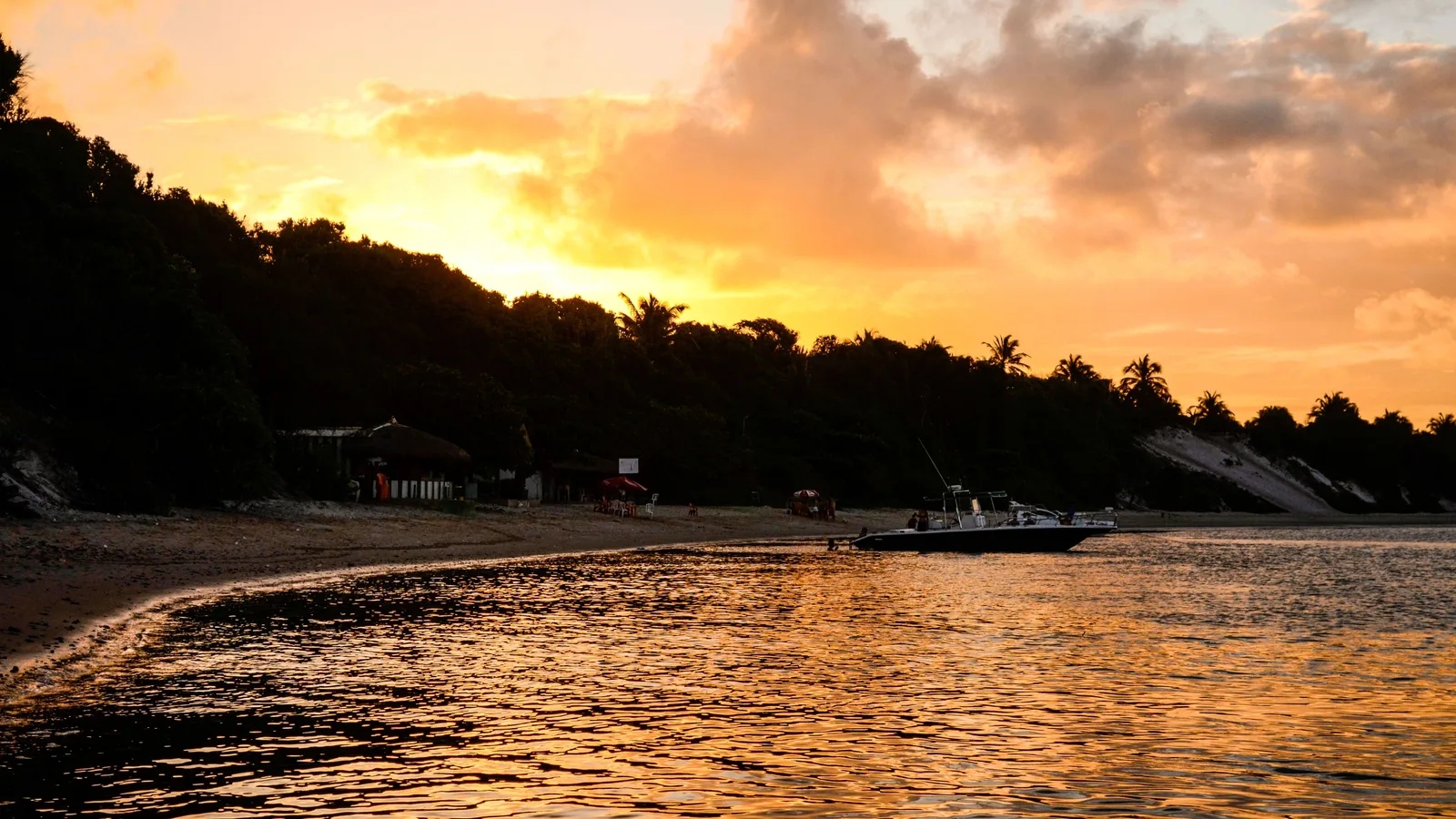
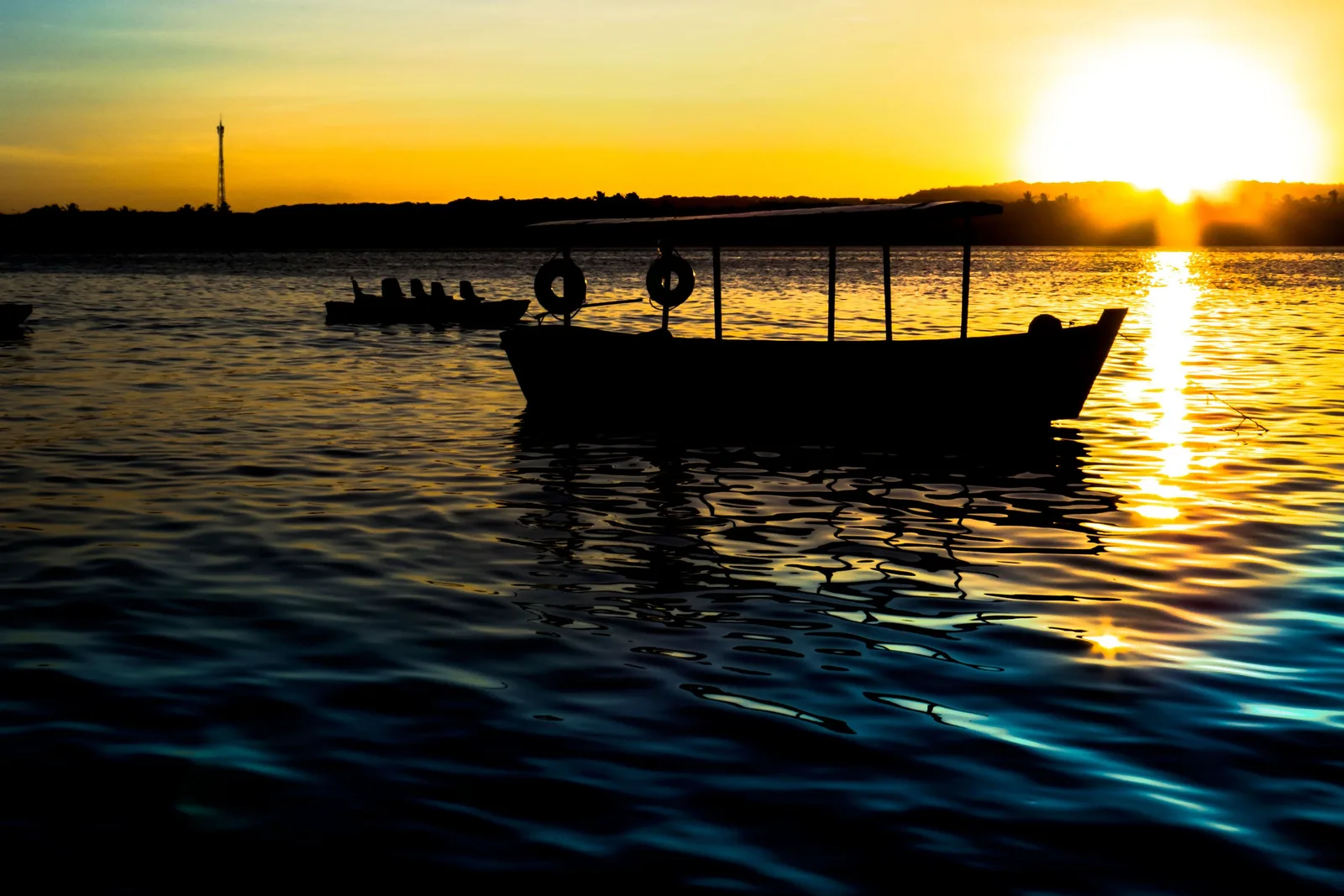
  • Sunset over the lagoon at Pontal da Barra, a moored boat in silhouette on gold water
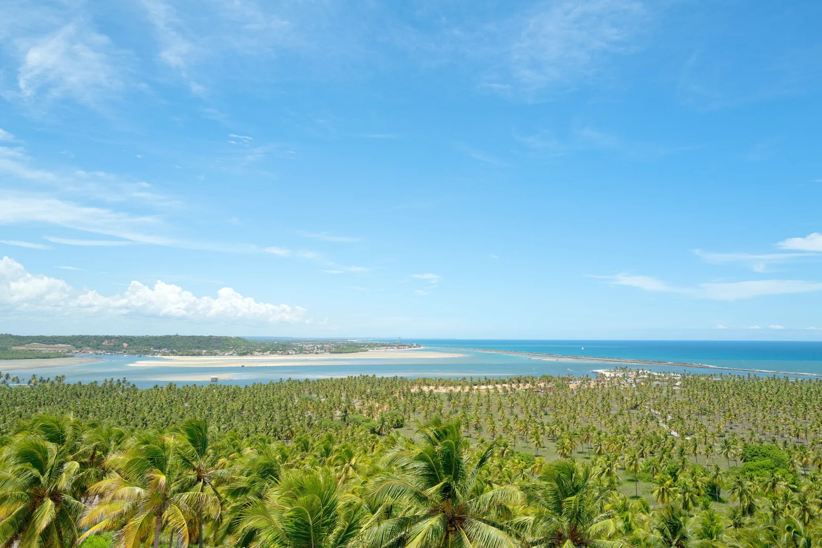
  • Praia do Gunga from above the cliffs: a huge coconut plantation running down to a pale sandspit with turquoise water on both sides of it
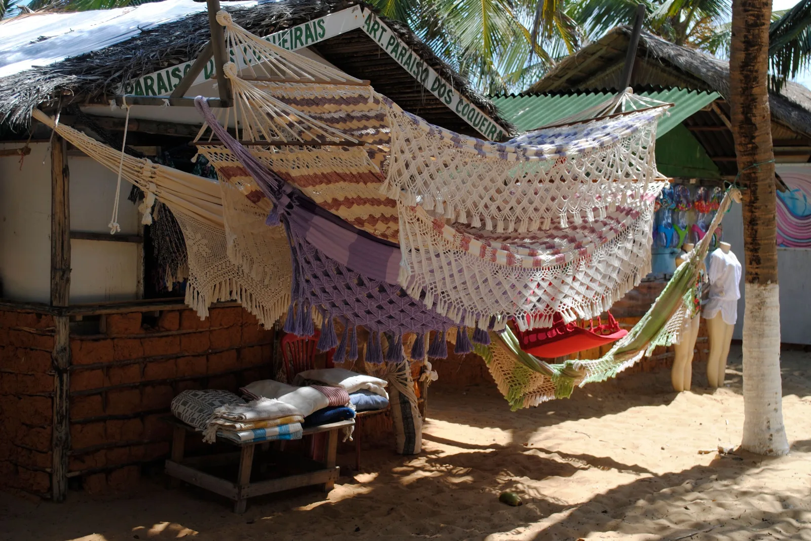
  • Hand-knotted hammocks in cream, lilac stripe and red hung for sale across the front of a thatched beach stall
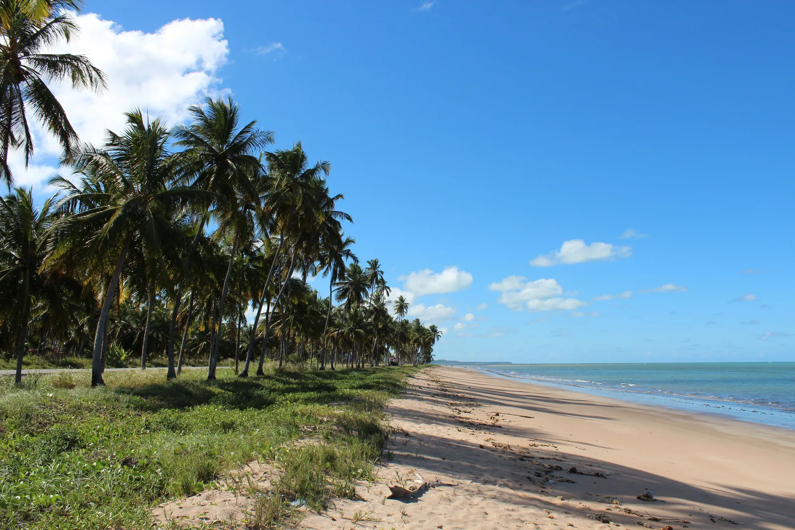
  • A long empty beach at Maragogi running into the distance under a blue sky, a line of coconut palms leaning over the grass along the top of the sand and pale green sea to the right
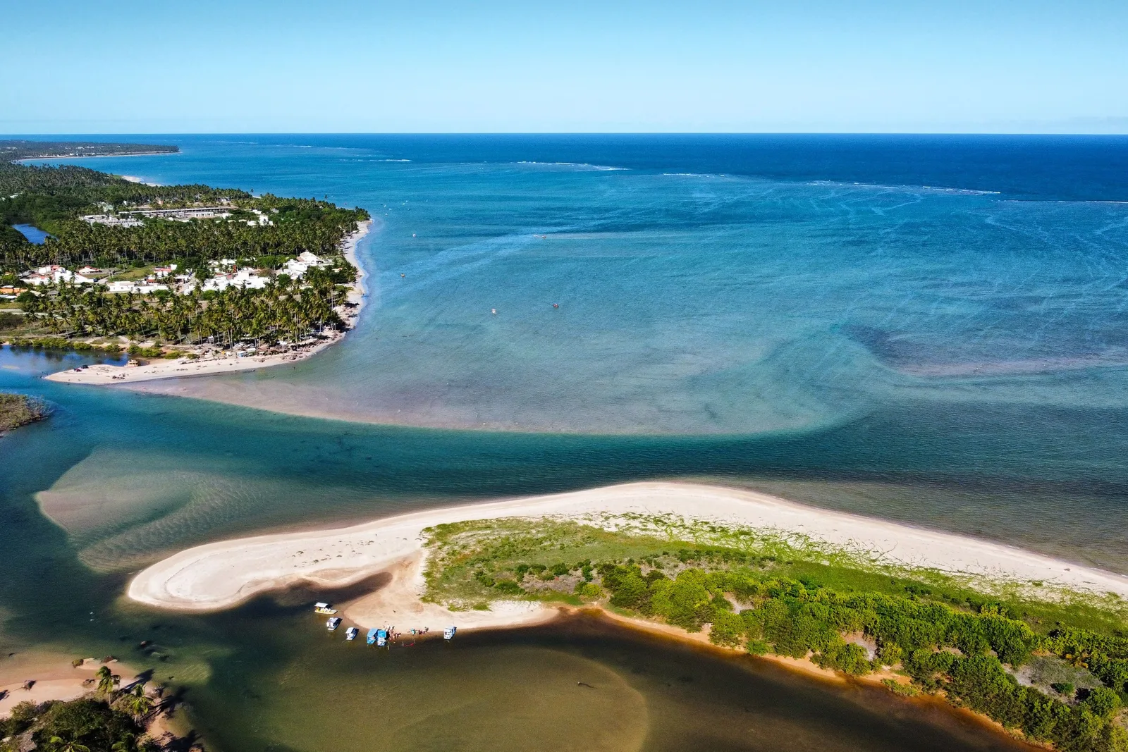
  • The mouth of the Riacho Tabatinga from the air: a river running out through a pale sandbar into a turquoise reef lagoon

Orientation

The city, before the pictures.

What this page covers, what it costs, and how you get to it.

General Info

A capital city with a reef in front of it

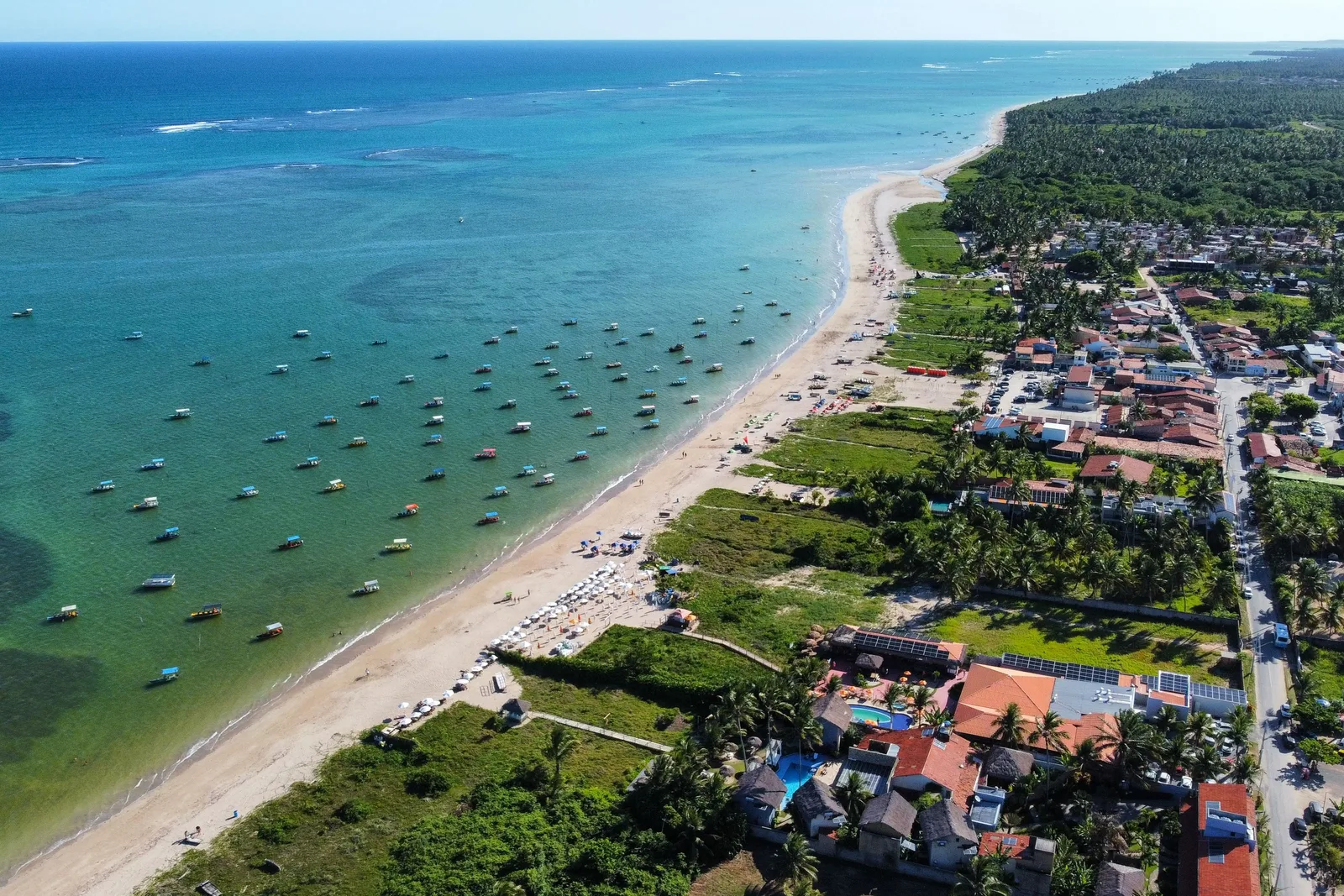
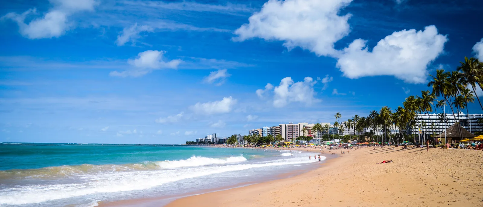
Maceió is the capital of Alagoas, Brazil’s smallest state, and it had 957,916 people at the 2022 census. What makes it different from every other northeastern capital is the reef. A line of coral runs a few hundred meters offshore for the whole length of the city, and it takes the swell before the swell reaches the sand. The result is roughly seven kilometers of urban beach — Pajuçara, Ponta Verde, Jatiúca, Cruz das Almas — where the water is flat, shallow, warm and the color of a swimming pool, with a paved promenade and a bike path running the whole way.

That reef is not only a Maceió feature. The city sits at the southern end of the Área de Proteção Ambiental Costa dos Corais, a federal marine protected area created in 1997 and enlarged by Decreto 12.490 of 5 June 2025, which took it to 495,084 hectares over about 135 kilometers of coast, from Maceió north to Tamandaré in Pernambuco. It is the largest coastal marine reserve in Brazil, it is why the water is that color, and it is why the whole coast north of the city is a run of small villages behind coconut groves rather than a run of resorts. The road north from Maceió is the reason to base yourself here.

One thing an honest guide has to say out loud. Four districts on the lagoon side of the city — Pinheiro, Mutange, Bebedouro and Bom Parto, plus part of Farol — were evacuated after decades of rock-salt mining collapsed the ground beneath them. Around 60,000 people left roughly 14,500 properties, and by March 2026 about two thirds of the buildings had been demolished. The area is empty, fenced and patrolled. It is four to six kilometers inland from the seafront, and the beaches, the hotels and everything on this page are nowhere near it, but it is a large permanent hole in the middle of the city and you should know it is there rather than find out from a taxi driver.

Where It Is

The bottom of the Coral Coast, ten degrees off the equator

Maceió sits on the Atlantic in the middle of the Alagoas coast, between two big brackish lagoons and the sea. Recife is about 260 km north on the BR-101, four hours by road, and Salvador is a long day south. Maragogi, the reef-pool town this page treats as a day out, is about 130 km north on the AL-101 — two and a half to three hours each way.

Maceió Maceió

9.67° S, 35.74° W

See the Northeast on the interactive map

Cost

Cheaper than Rio, and the beach is free

Maceió is one of the better-value beach capitals in Brazil. Rooms on the seafront cost less than the equivalent in Rio or Florianópolis, the boat trips are inexpensive, and the single largest number is the flight, because there is no nonstop from the United States. The two things that move a budget are a rental car, which is worth it if you want the coast north and south, and the week between Christmas and New Year, when the seafront sells out.

Estimated daily budget, per person

Budget

$65 / day

A simple pousada a block back from Pajuçara, kiosk lunches on the sand, buses and ride apps, one boat trip.

Mid-range

$130 / day

A sea-view room in Ponta Verde, a rental car for part of the week, restaurant dinners, and the day trips north and south.

Comfortable

$260 / day

The best rooms on the seafront or a pousada on the Rota Ecológica, private transfers, chartered boats and guided days.

Per person per day once you are in Maceió — flights not included. Two people sharing a room lands well under the double of one.

What things cost

  • Sea-view mid-range room, per night $69 R$350
  • Simple pousada room, per night $35 R$180
  • Jangada to the Pajuçara pools, per person $12 R$60
  • Maragogi catamaran to the Galés, per person $22 R$110
  • Maragogi municipal environmental fee $1.40 R$7
  • Nine Islands lagoon tour with lunch $29 R$150
  • Day tour to Francês, Barra and Gunga $25 R$130
  • Beach chair and parasol for the day $6 R$30
  • Lunch for two at a beach kiosk $24 R$120
  • Dinner for two, good seafood restaurant $51 R$260
  • Rental car, per day $29 R$150
  • Ride app, airport to Ponta Verde $14 R$70
  • São Paulo–Maceió, round trip $176 R$900

The R$7 environmental fee at Maragogi is the published municipal charge, in force since February 2025, and it is usually already inside the boat price. The catamaran range is the operators’ own quoted price. Everything else on this list is an estimate.

The beaches themselves are free and always will be. What you pay for on the sand is a chair, a parasol and whatever you order, and a kiosk will keep you all day for the price of lunch.

Cards work almost everywhere and Pix works everywhere. Carry some cash for the jangadeiros and the beach vendors.

Late December through Carnival is the expensive stretch, and the week around New Year is in a class of its own. September to November is the same weather at a much lower price.

Checked September 2026 and converted at R$5.10 to the dollar. Estimates, not quotes — the shape of a budget rather than a price anyone can be held to.

Safety

A high-crime state with an unusually contained visitor zone

7 /10

Our rating — a state with a real violence problem and a visitor zone that sits almost entirely outside it, which is a more comfortable combination than it sounds.

Alagoas recorded 33.1 violent deaths per 100,000 people in 2025. That is high, and it is also the lowest figure the state has posted since the national series began in 2012, down from close to 70 a decade ago. What matters for a visitor is where it happens. Maceió’s lethal violence is concentrated in a handful of districts on the plateau above the city and around the far side of the lagoon, none of which contains anything you would go to. The seafront strip from Pajuçara to Cruz das Almas is a continuous run of hotels, apartment towers, kiosks and a lit promenade, and it is busy from dawn until late. The realistic risk here is opportunistic theft on the sand and after dark in the Centro, not anything worse.

  • Take to the beach only what you can carry into the water. Phones and bags left on a towel while everyone swims are the single most common loss in Maceió, and the reef pools are exactly the moment nobody is watching the towels.
  • The Centro is a daytime quarter. The cathedral, the Palácio Floriano Peixoto and the old commercial streets are fine and busy in office hours, and the area empties out completely by early evening. Do it before lunch and spend the night on the seafront.
  • Use Uber or 99 after dark rather than walking between neighborhoods. Rides along the orla cost a few dollars, which makes this an easy decision.
  • Benedito Bentes, Clima Bom, Jacintinho, Tabuleiro do Martins and Vergel do Lago are the districts consistently named as ones to avoid. Nothing on this page is in any of them, and ride apps will route around rather than through.
  • The evacuated districts — Pinheiro, Mutange, Bebedouro and Bom Parto — are fenced, monitored and not a sight. Do not go looking for them.
  • The sun is the real hazard. The UV index runs at 11, extreme on the WHO’s scale, from October to March, and the reef pools give you no shade at all for two hours. Rash guard, hat, and reapply.
  • Swim on the reef side, inside the line, where the water is flat. Where the reef opens — Jatiúca and north toward Cruz das Almas — there is surf and there are currents, so read the flags and ask a kiosk.

Getting There

One connection from the US, and a short hop from Recife

Zumbi dos Palmares International (MCZ) is about 25 km north of the seafront and handled roughly 2.98 million passengers in 2025, up 11% on the year before. It is a busy, modern, easy airport, and it is a connection rather than a destination for anyone flying from North America.

  • There is no nonstop from the United States. Almost everyone connects through São Paulo (GRU), which is a bit under three hours from Maceió with flights all day on Latam, Gol and Azul. Brasília, Recife and Salvador all work as alternatives.
  • TAP Air Portugal flies Lisbon to Maceió nonstop, which makes this an unusually easy add-on to a Europe trip and a genuinely different way to reach Brazil.
  • Gol runs a seasonal Buenos Aires service, and both LATAM and JetSmart Argentina are adding Buenos Aires flights from December 2026. Check the schedule rather than assuming: this route list changes every season.
  • Recife (REC) is the bigger airport on this coast, about 260 km and four hours north on the BR-101. Flying into one and out of the other is a sensible way to build a trip that takes in both, and it removes a long backtrack.
  • From the airport to the seafront is 25 km and about half an hour. Ride apps work at the terminal and are the cheapest option; the official taxi desk and the hotel transfers both cost more.
  • If you are combining Maceió with Porto de Galinhas or Recife, drive it. The BR-101 is divided highway for most of the way and the coast road is the whole point of the trip.

Getting Around

Walk the seafront, drive the coast

The city half of this trip needs no car at all. The coast half is much better with one, and the road north is one of the best drives in the Brazilian northeast.

  • Pajuçara, Ponta Verde, Jatiúca and Cruz das Almas run into one another along a single seafront avenue with a continuous promenade and a bike path. That is about seven kilometers end to end and it is genuinely pleasant to walk, at any hour.
  • Uber and 99 both work across the whole city and are cheap. A ride from one end of the orla to the other is a couple of dollars.
  • Rent a car for the coast. The AL-101 Norte runs up through Paripueira, Barra de Santo Antônio and the Rota Ecológica to Japaratinga and Maragogi; the AL-101 Sul runs down to Praia do Francês, Marechal Deodoro and Barra de São Miguel. Both are ordinary two-lane roads in reasonable shape.
  • If you would rather not drive, every hotel sells the same set of day tours: Gunga and the south, the Rota Ecológica, Maragogi, and the Nine Islands on the lagoon. They are cheap, they run daily, and they are how most Brazilian visitors do it.
  • The jangadas to the Pajuçara pools leave from the beach itself, in front of the promenade. You do not book them in advance; you turn up when the tide says to and take one.
  • Nothing on this coast runs to a schedule you can set a watch by, and the boat trips run to the tide rather than the clock. Build the day around the tide table and put the fixed appointments somewhere else.

The big four

What the city is actually built on.

A reef, a cliff, a lagoon and a protected coast. Three of them are in sight of the city and the fourth is the reason to keep driving.

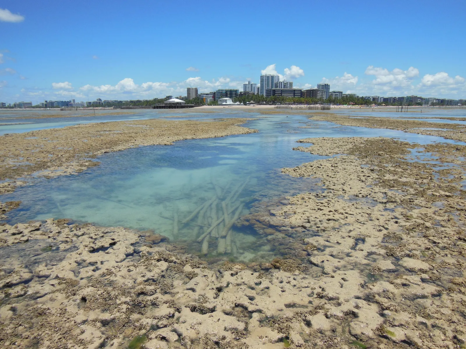
The reef off Maceió uncovered at low tide: a rough brown coral shelf with clear pools standing in it, the sea beyond and the white towers of the city along the horizon 01

The sea goes out and the pools appear

The Pajuçara reef pools

Distance offshore
About 2 km
Crossing
10 to 15 minutes by jangada
Only at
Low tide, and only in daylight

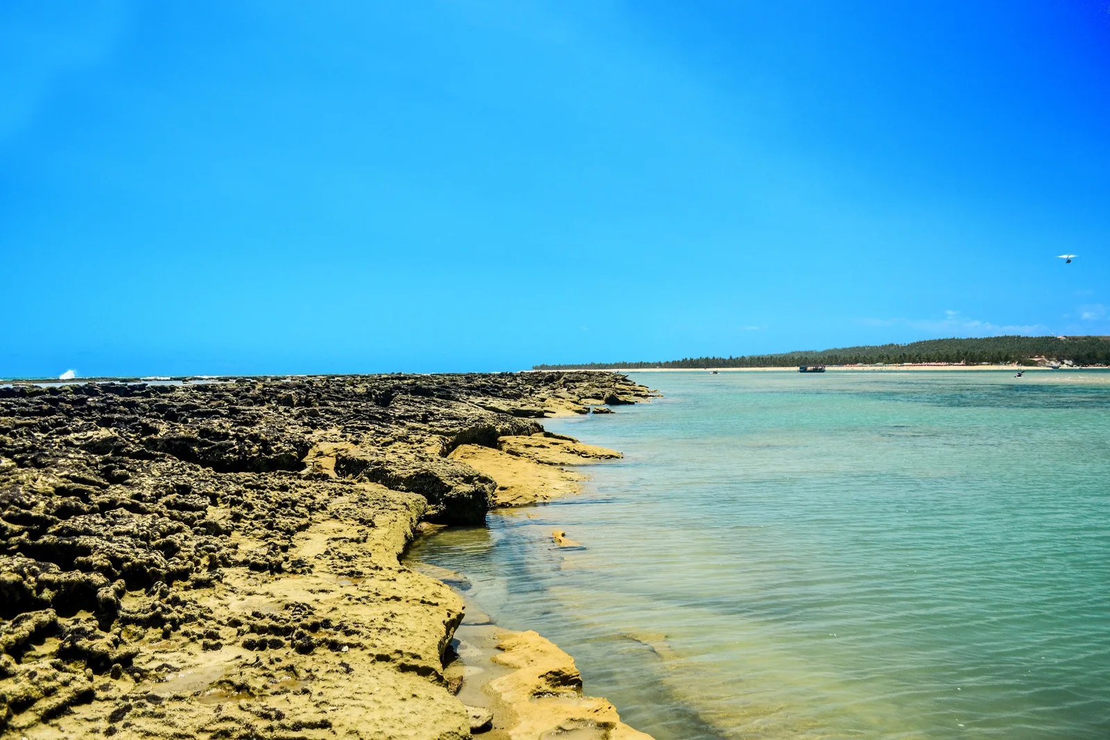
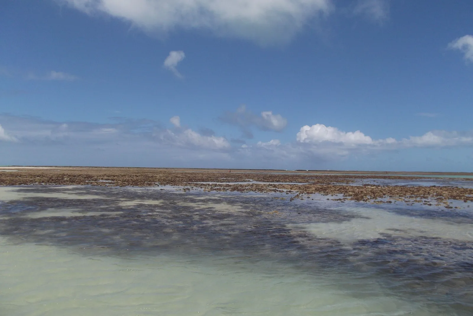
Twice a day the sea drops off the reef in front of Pajuçara and a sandbank comes up out of the water about two kilometers offshore, with clear pools standing on it. Wooden jangadas run out from the beach — ten or fifteen minutes each way — and moor on the bank, and you get an hour and a half standing in warm water up to your waist with reef fish going past your ankles. It is the single thing Maceió is known for, and it costs about twelve dollars.

The catch is that it is a tide, not an attraction. The pools exist when the water is low and they are gone when it is not, and the jangadeiros go out when the tide table says so rather than when the hotel wants them to. Ask at the beach the day before, not the morning of. The same reef line runs the length of the city, so on a day when the Pajuçara bank is under water you can still swim in flat, shallow, reef-protected sea straight off the sand at Ponta Verde. That is the difference between this city and a reef-pool day trip: here, there is always a fallback.
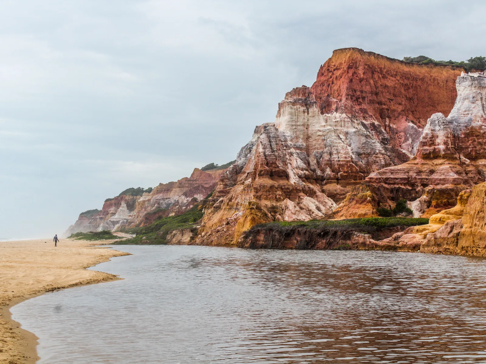
The banded red and cream cliffs at Praia do Gunga rising over a pale sand spit, with the lagoon channel running out to the sea in the foreground and a single figure walking the sand 02

Where a lagoon and the Atlantic meet under a cliff

Praia do Gunga

Where
Roteiro, on the south coast
From Maceió
About an hour by road
Getting in
By boat across the lagoon, or by buggy down the cliff

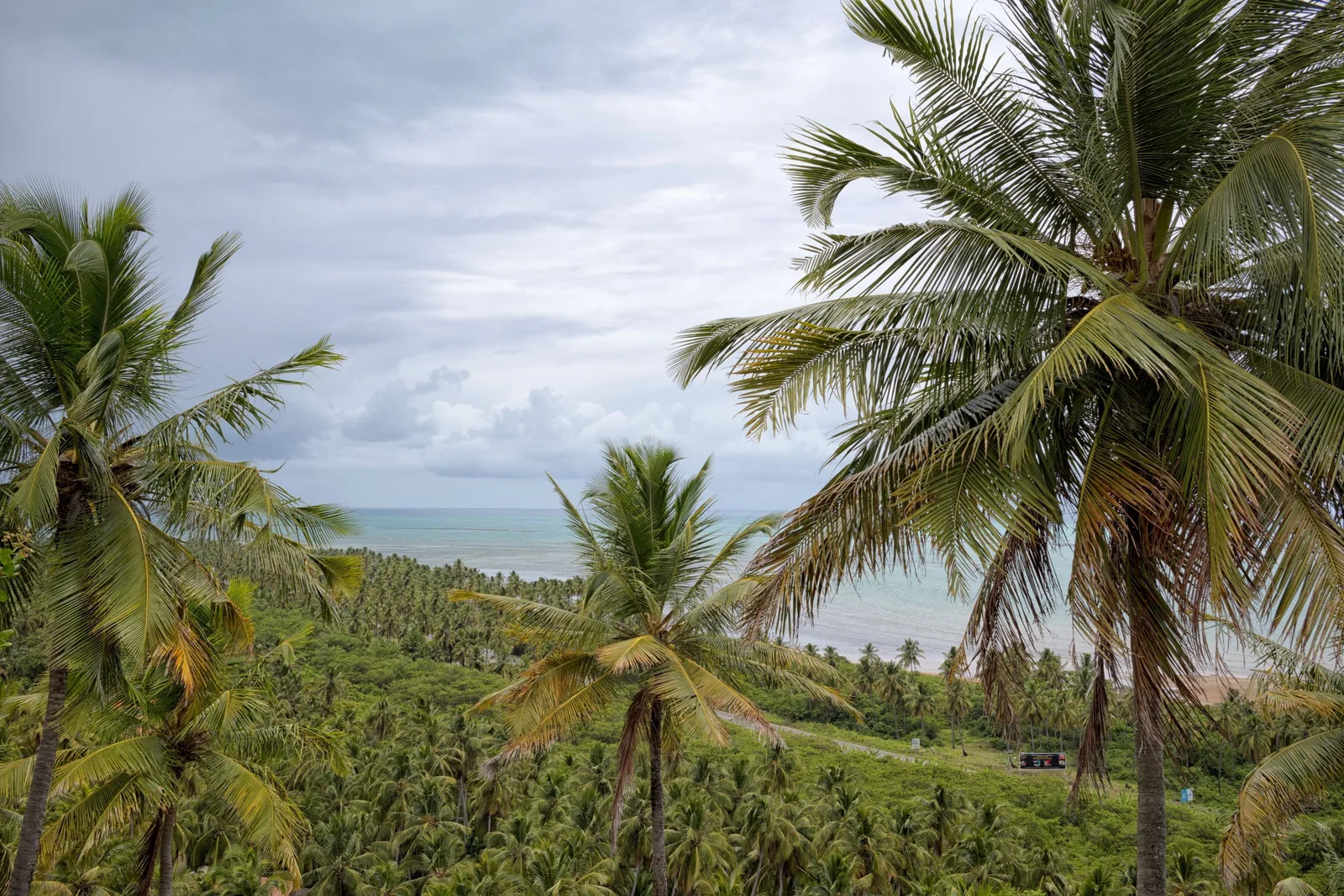
An hour south of the city the coast rises into striped sandstone cliffs, and at the foot of them the Lagoa do Roteiro comes out to meet the sea across a spit of sand. On one side of the spit there is warm, still, greenish lagoon water; on the other side there is the Atlantic. Behind it, running back from the cliff edge, is a coconut plantation big enough that from above the beach looks like a green field with a white line drawn along it.

Most people arrive by boat from Barra de São Miguel, crossing the lagoon, which is much the better way to see it. The other route is overland by buggy along the clifftop and down. There are kiosks, chairs and lunch at the bottom, and it is busy in the middle of the day and empty by 4:00pm. It is the photograph everyone comes back from Alagoas with, and unlike most such places it is genuinely as good as the picture.

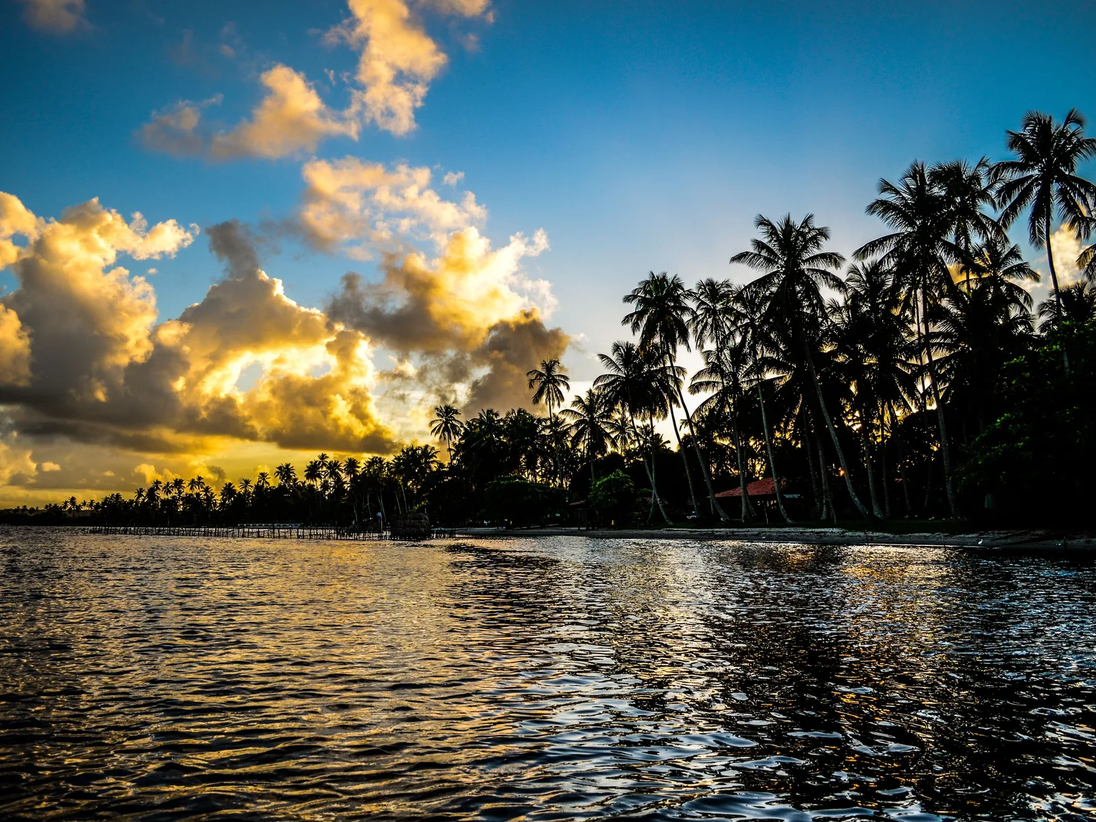
Late afternoon on the Mundaú lagoon: still water under a big cloudy sky with a low line of coconut palms silhouetted along the far shore 03

The other water, and the one the city eats from

The Mundaú lagoon

What it is
A brackish lagoon behind the city
The dish
Sururu, state heritage since 2014
The trip
Nine Islands, about two hours

Maceió is built on a strip of land between the ocean and a pair of big brackish lagoons, and the lagoon side is a completely different city from the beach side: canoes instead of jangadas, mangrove instead of coconut, and an economy that runs on a small mussel. The sururu is dug out of the Mundaú mud by hand, mostly by women, cooked in its shell with coconut milk and coriander, and eaten with pirão. Alagoas registered it as intangible cultural heritage in 2014, which tells you how seriously it is taken here.

The way to see it is the Nine Islands trip, a two-hour boat run out from Pontal da Barra through low sandy islands with a handful of houses and palms on them, with a stop to swim in water that is warm and waist-deep for a long way out. Pontal da Barra itself is the lacemaking district: renda de filé, knotted on a net-like ground, sold from the workshops where it is made. Go late and stay for the sunset, which is the one thing the beach side of the city cannot give you — the ocean here faces east.

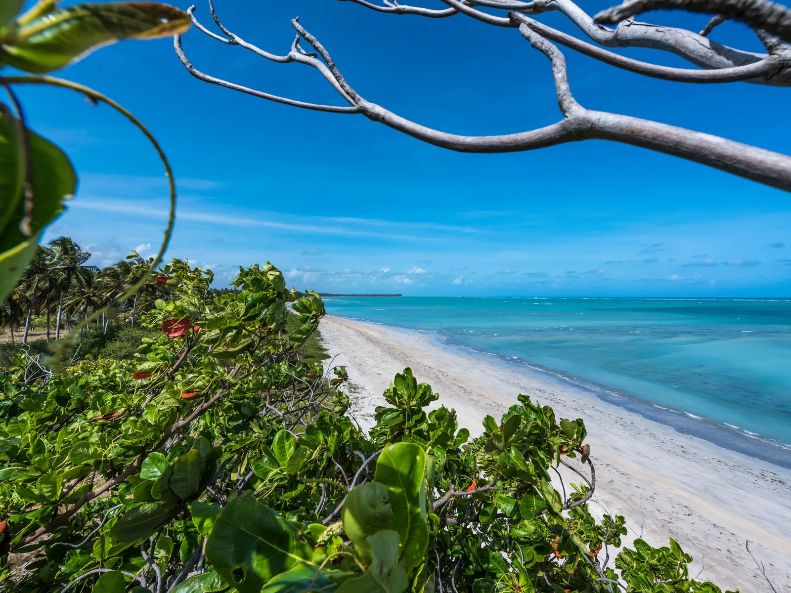
Praia do Patacho framed by overhanging branches: a curve of white sand backed by dense green, with pale turquoise shallows and a darker reef line further out 04

A hundred and thirty-five kilometers of protected reef

The Costa dos Corais

Created
Federal decree, October 1997; enlarged June 2025
Size
495,084 hectares, about 135 km of coast
Runs from
Maceió north to Tamandaré, Pernambuco

North of Maceió the road runs behind a coast that is still almost entirely coconut grove and fishing village, and the reason is a line on a map. The Área de Proteção Ambiental Costa dos Corais was created in 1997 and covers about 135 kilometers of shoreline across nine municipalities in Alagoas and three in Pernambuco. Decreto 12.490 of 5 June 2025 added 89,441 hectares of sea to it, taking it to 495,084 hectares. It is the largest coastal marine protected area in the country, and it is why this stretch has small pousadas behind the trees rather than towers on the sand.

Two things inside it are worth planning around. Praia do Patacho, at Porto de Pedras, has held the international Blue Flag certification for five consecutive seasons and is the only beach in Alagoas that has it. And on the Rio Tatuamunha, ICMBio runs the country’s main release site for the Antillean manatee: you go up the river by jangada in a small group, numbers are capped daily, and the animals are wild. Both sit on the Rota Ecológica, the sixty-odd kilometers of dirt-and-asphalt coast road through Porto de Pedras, São Miguel dos Milagres and Passo de Camaragibe.

What to actually do

Five directions from one hotel.

The city is the base and the coast is the trip. Pick a direction and scroll sideways through it.

City beaches

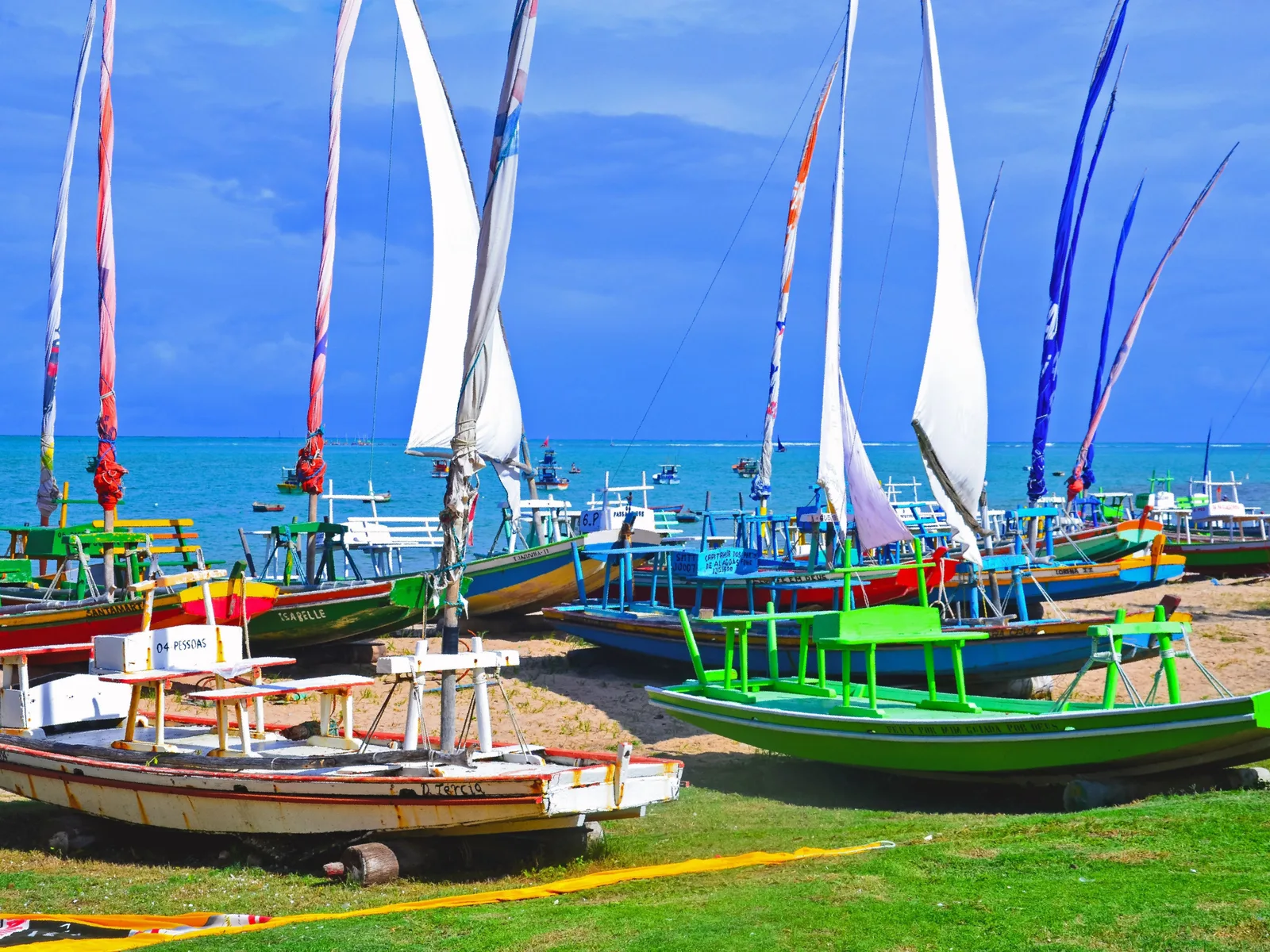
  • A row of jangadas hauled up on the grass at Pajuçara with their tall white sails hoisted, turquoise sea and a line of moored boats behind them

    Pajuçara beach · two hours, at low tide only

    A jangada to the Pajuçara pools

    The trip the city is built around. Sailing jangadas leave straight off the sand, run about two kilometers out to the reef and moor on the sandbank, and you spend an hour and a half standing in clear water with fish around your feet. Around twelve dollars a head. It only works when the tide is low in daylight, and the boats will simply not go on a day when it is not, so ask the jangadeiros the afternoon before rather than turning up hopefully at 10:00am.

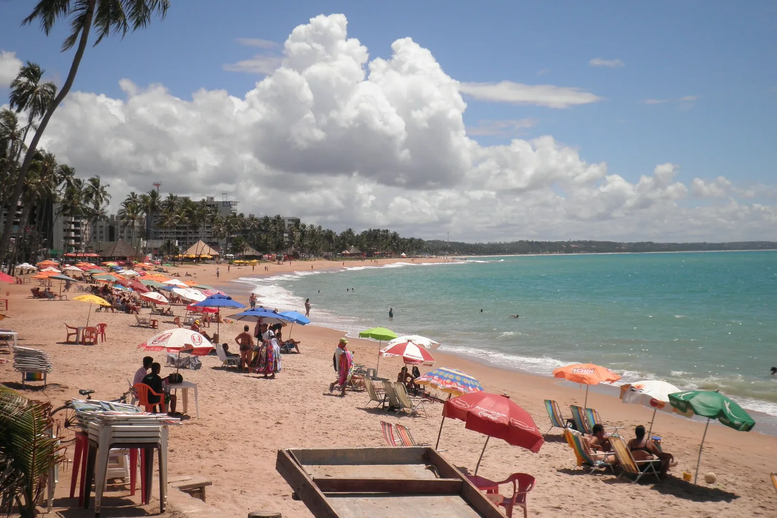
  • Ponta Verde beach on a busy afternoon: colored parasols and chairs along the sand, people in the shallows and the curve of the bay running away behind

    Ponta Verde · any day, any tide

    Swimming at Ponta Verde

    The best swimming inside the city and the reason to stay here rather than anywhere else. The reef sits close in, the water behind it is flat and shallow a long way out, and the sand is wide enough that even in high season it does not feel full. Kiosks along the promenade will bring a chair, a parasol and lunch to the sand. This is the beach that works on the days the reef pools do not.

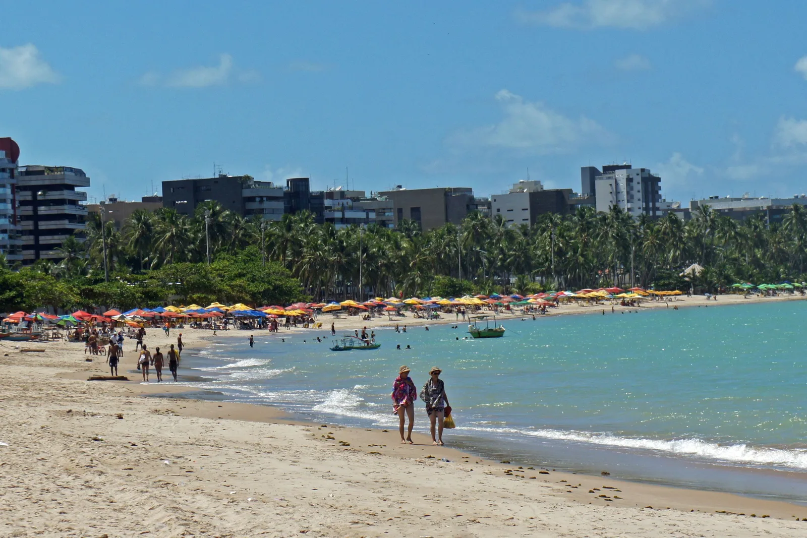
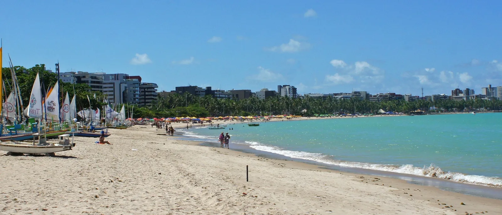
  • Pajuçara beach in the afternoon: rows of parasols along the sand, people walking at the waterline and the towers of the seafront rising behind the palms

    Pajuçara · early morning or after 5:00pm

    The promenade at Pajuçara

    The oldest and busiest stretch of the seafront, and the one with the most going on: an artisan market that sets up in the evening, food carts, a wide paved promenade under the palms, and the jangada fleet parked in a line along it. It is the Copacabana of Maceió in the sense that everybody is there, which is either the appeal or the reason to sleep one beach further along.

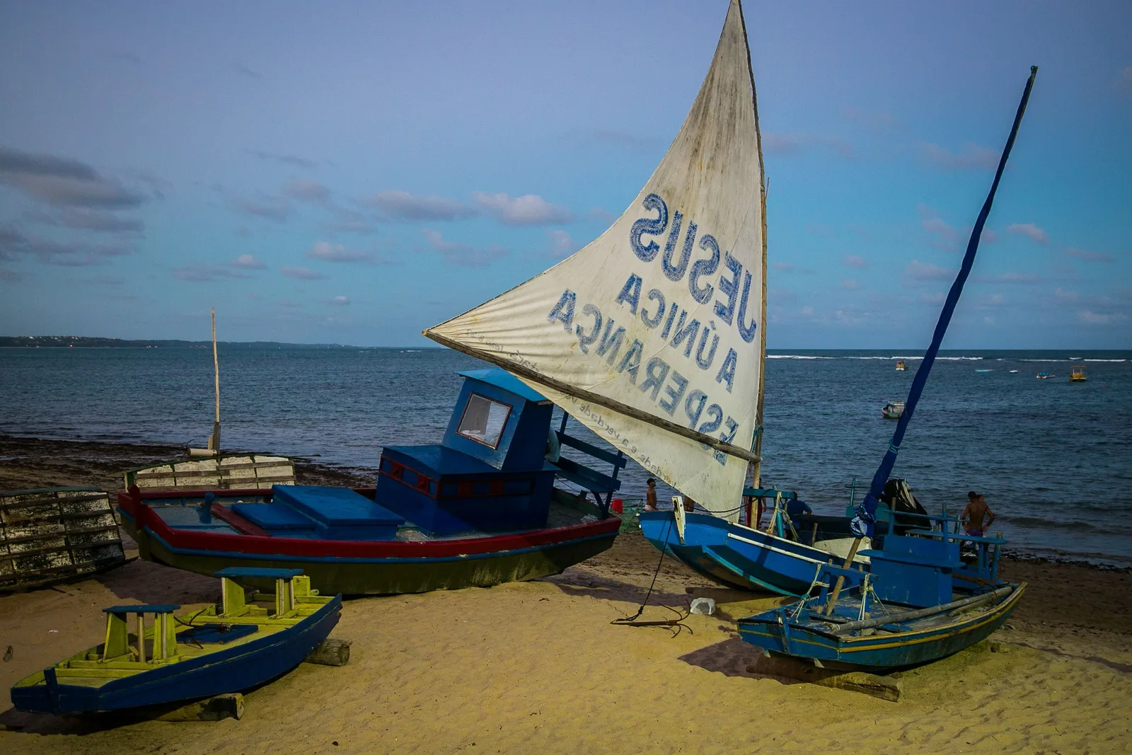
  • A jangada beached at Jatiúca with its sail raised and hand-painted with lettering, three more hulls drawn up around it on the sand and the sea flat behind

    Jatiúca · afternoons and evenings

    Surf and sunsets at Jatiúca

    North of Ponta Verde the reef line opens and the sea comes in properly. Jatiúca has actual waves, a surf school or two, and the liveliest run of bars and restaurants on the seafront once the sun goes down. Swim with more attention here than you need two beaches south, and read the flags. It is also where the jangadas with hand-painted sails pull up on the sand, which is the most photographed thing in the city after the pools.

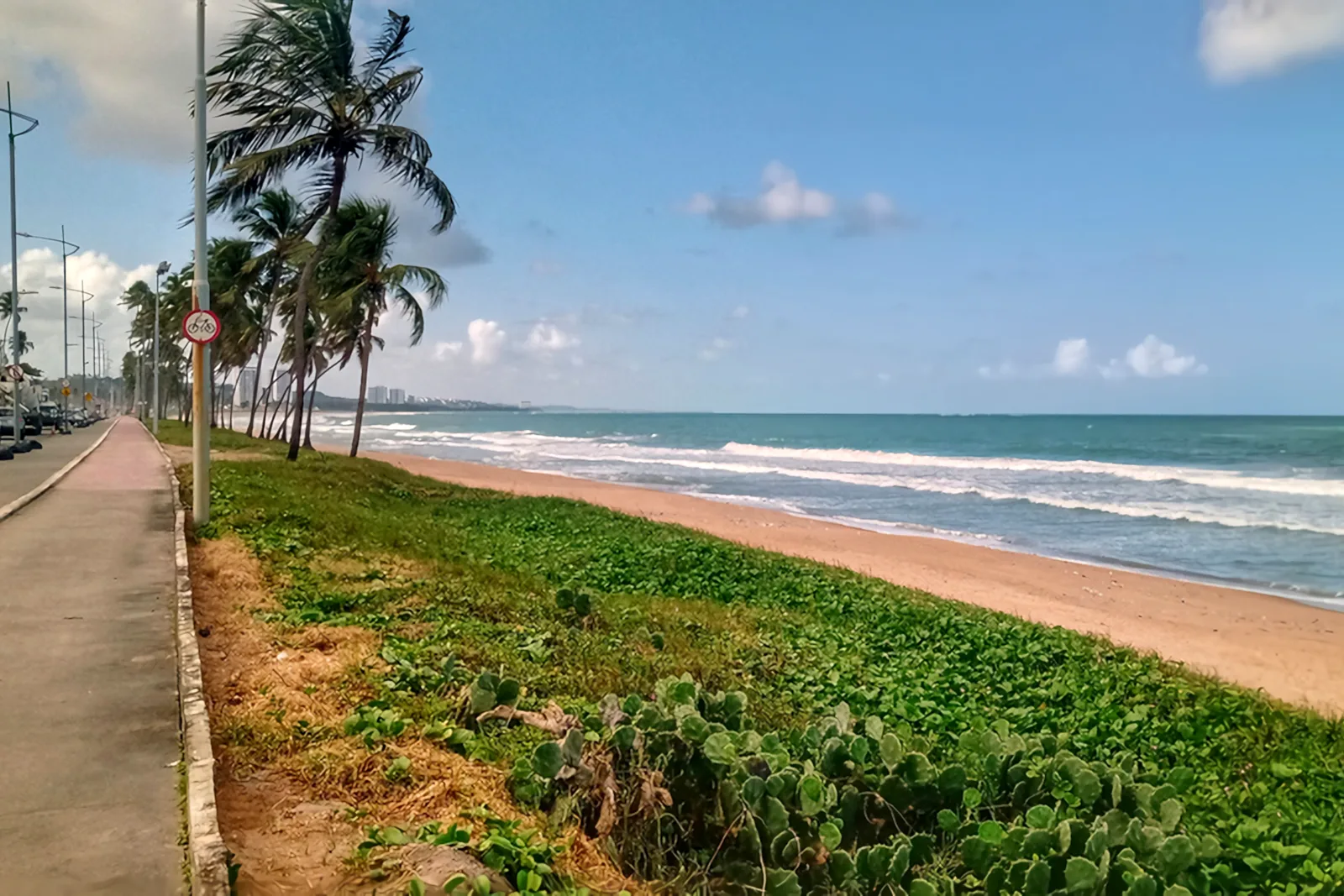
  • The beach at Cruz das Almas: white surf running up a broad strip of sand with low green vegetation in the foreground and coconut palms along the shore

    Cruz das Almas · a half day

    The quiet end at Cruz das Almas

    The last of the city beaches going north and the one locals use most. Fewer hotels, more houses, kiosks that feel like somebody’s front room, and a beach that is wide and windy and largely empty on a weekday. Newer hotels here undercut the Pajuçara–Ponta Verde–Jatiúca strip by a noticeable margin, and it is still only ten minutes down the road from all of it.

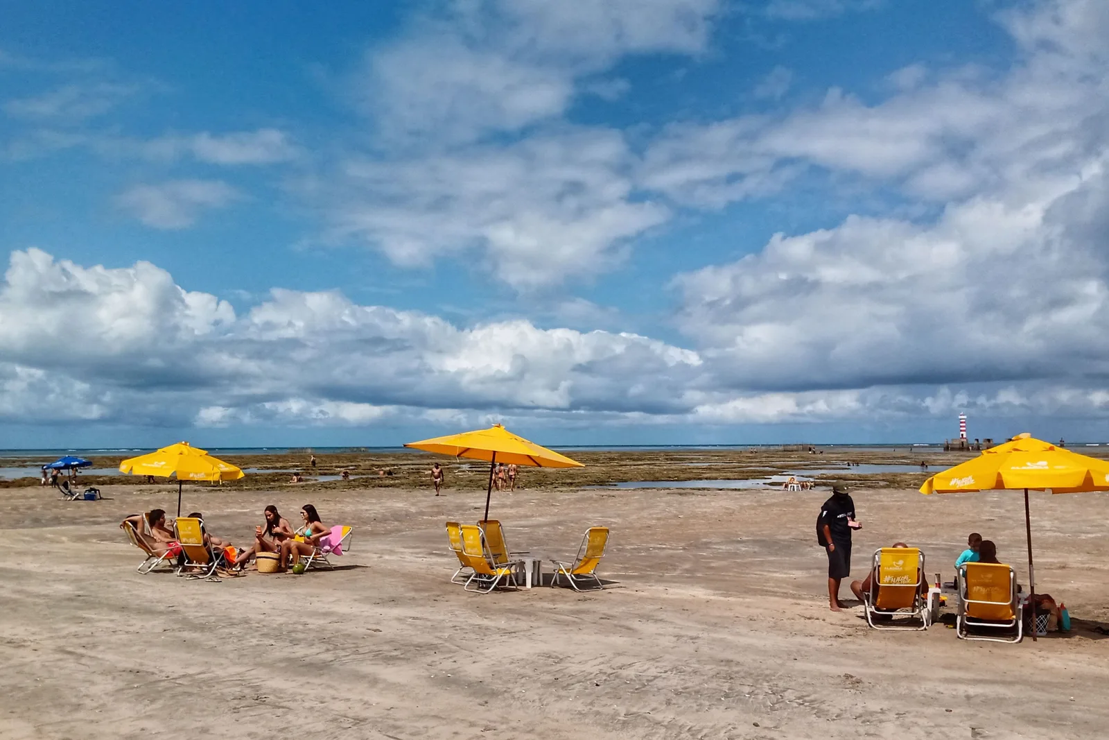
  • Yellow parasols and beach chairs set out on the wet flats at low tide, people sitting under them on damp sand with the dark exposed reef and the sea further out under a big cloudy sky

    Along the orla · at the bottom of the tide

    Sunbeds on the reef at low tide

    A Maceió-specific thing that surprises people. On a big low tide the reef flat right in front of the city comes out of the water, and the kiosks simply walk their chairs and parasols out onto it and set up shop on the coral, with a few inches of warm water around the legs. It lasts about two hours and then everything comes back in. Wear something on your feet — the reef is sharp, and so are the urchins in it.

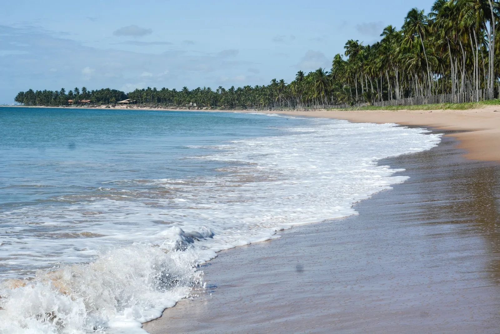
  • The empty beach at Ipioca: white surf running up pale sand in front of a long unbroken line of coconut palms, with one low building just visible among them far down the shore

    North city limits · half an hour by car

    The far beaches at Ipioca

    Twenty-something kilometers north of the seafront, still inside the municipality, the city runs out and the coconut groves take over. Ipioca and Riacho Doce are long, empty, reef-fringed beaches with a handful of thatched kiosks and almost no buildings. This is the first taste of what the whole coast north looks like, and it is a good half day if you are not ready to commit to a full drive.

The lagoon side

  • One of the islands on the Mundaú lagoon: a red-roofed house under tall coconut palms on a low spit of sand, with wooden stakes standing in the shallow water in front

    From Pontal da Barra · about two hours

    The Nine Islands boat trip

    A slow run out onto the Mundaú lagoon among low sandy islands with a few houses and a lot of palms on them, stopping to swim where the water is warm and stands at chest height a long way out, and usually finishing at a floating bar. Around thirty dollars with lunch. Go in the afternoon: the lagoon is the only place in Maceió where you get a sunset over water.

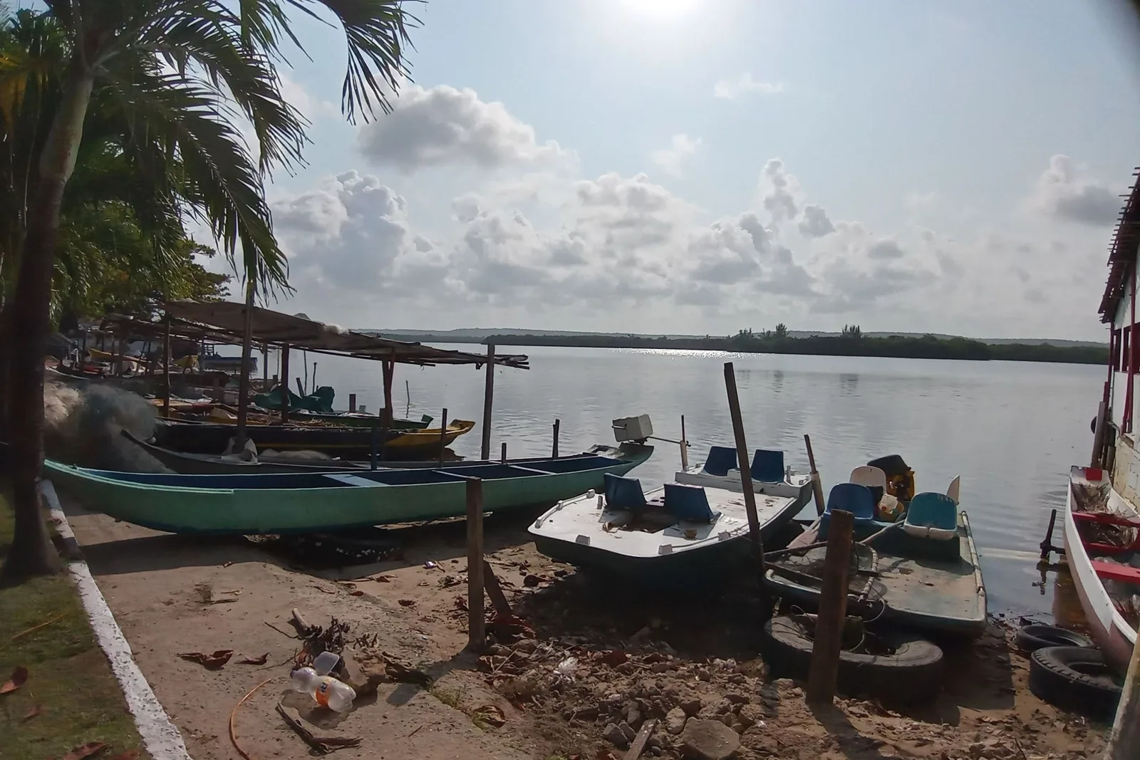
  • Wooden fishing boats pulled up on the muddy lagoon shore at Pontal da Barra, nets and gear in them, palms and low houses along the far bank

    Pontal da Barra · a couple of hours

    Lacework at Pontal da Barra

    The narrow neck of land between the lagoon and the sea, and the home of renda de filé — lace knotted onto a coarse net ground, worked by hand, and recognized as intangible heritage of Alagoas. The workshops sell directly along one street: a small piece is a few dollars and a full bedspread runs into the hundreds. It is the one souvenir from here that is not made somewhere else, and the boats for the Nine Islands leave from the same shore.

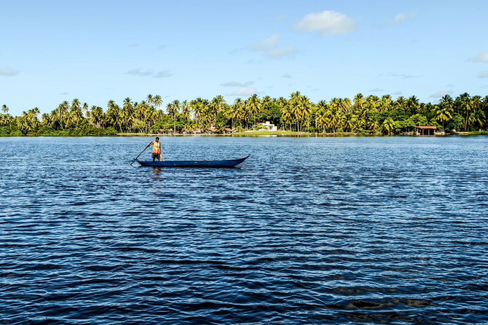
  • A man standing in a small wooden canoe on the deep blue water of the Mundaú lagoon, a low shore of dense coconut palms behind him

    Lagoon-side restaurants · lunch

    Sururu on the lagoon shore

    The dish this city belongs to. Sururu is a small dark mussel dug from the Mundaú mud, cooked in its shell with coconut milk, coriander and a lot of pepper, and eaten with pirão thickened in the broth. The fishery supports thousands of families, most of the gatherers are women, and the state registered the whole practice as heritage in 2014. Order it caldo first and then de capote, in that order, at a place with the lagoon in front of it.

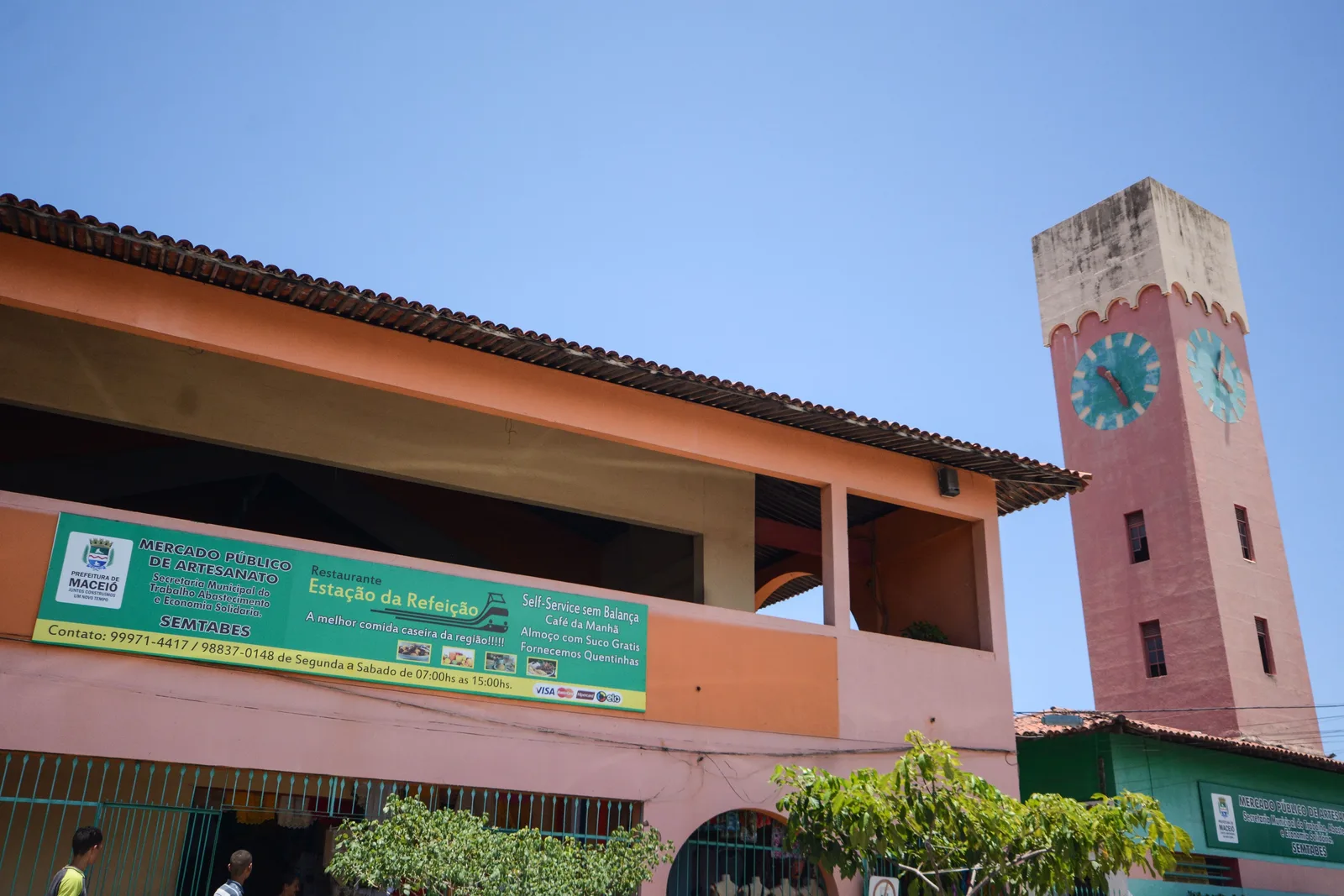
  • The craft market building in Maceió: a low pink and cream hall with a tall tiled clock tower beside it against a bright blue sky

    Central Maceió · an hour

    The Mercado do Artesanato

    The state craft market, and a much better place to buy than the beachfront stalls. Renda de filé, wood, ceramics, cachaça, and the sugar-and-coconut sweets Alagoas is quietly good at, sold by the people who make them at prices the promenade does not offer. An hour is plenty, and it pairs naturally with the cathedral and the old commercial streets a few blocks away.

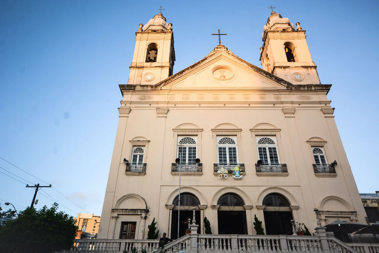
  • The Catedral Metropolitana of Maceió seen from below: a pale pink neoclassical front with two square bell towers and a cross above the pediment

    Centro · a morning, before lunch

    The cathedral and the old center

    Maceió’s Centro is a working commercial district rather than a preserved colonial one, and it is worth a morning rather than a day. The Catedral Metropolitana, finished in the nineteenth century, is the anchor: a pink and cream front with twin towers on a square of old shopfronts. Around it are a handful of surviving nineteenth-century buildings and a lot of ordinary Brazilian city. Go in office hours; it empties out early.

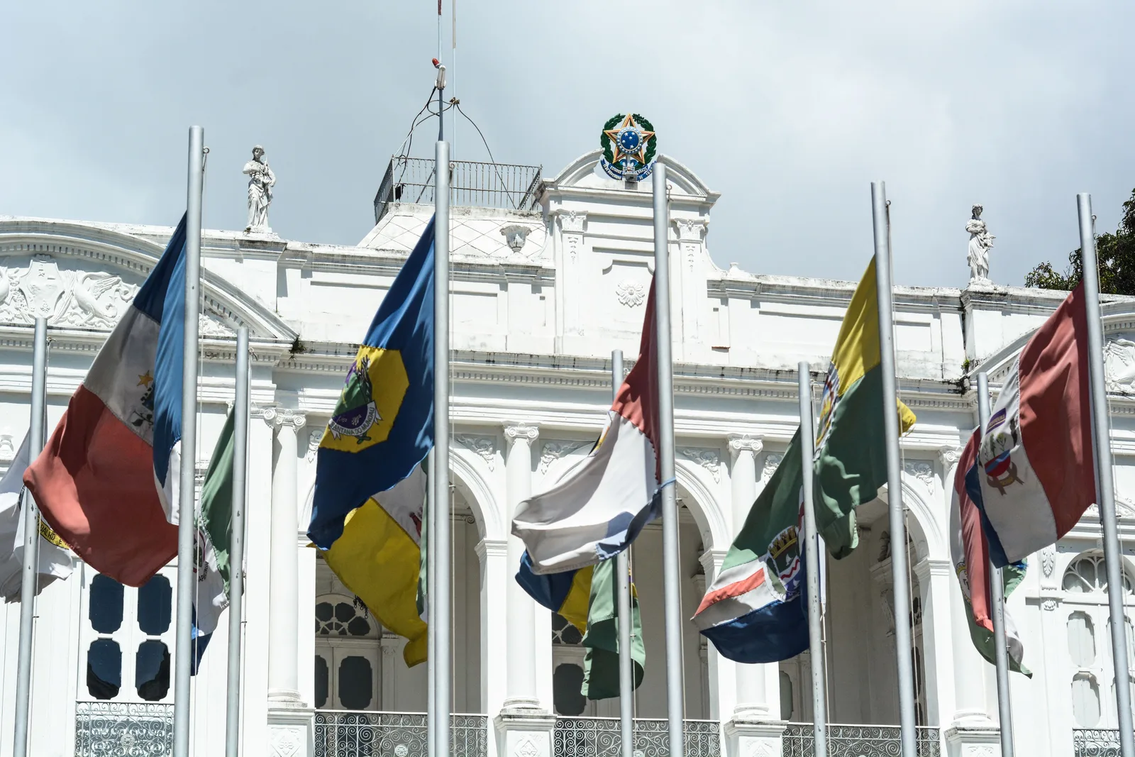
  • The white colonnaded front of the Palácio Floriano Peixoto in Maceió behind a row of flagpoles, state and national flags hanging from them under a gray sky

    Centro · an hour and a half

    The Palácio Floriano Peixoto

    The old state governor’s palace on the main square, now a museum of the city and the state, with rooms of period furniture, Alagoan folk art and a decent account of how a sugar and cotton port turned into a capital. It is small, it is cheap and it is air-conditioned, which in the middle of a Maceió afternoon counts for something.

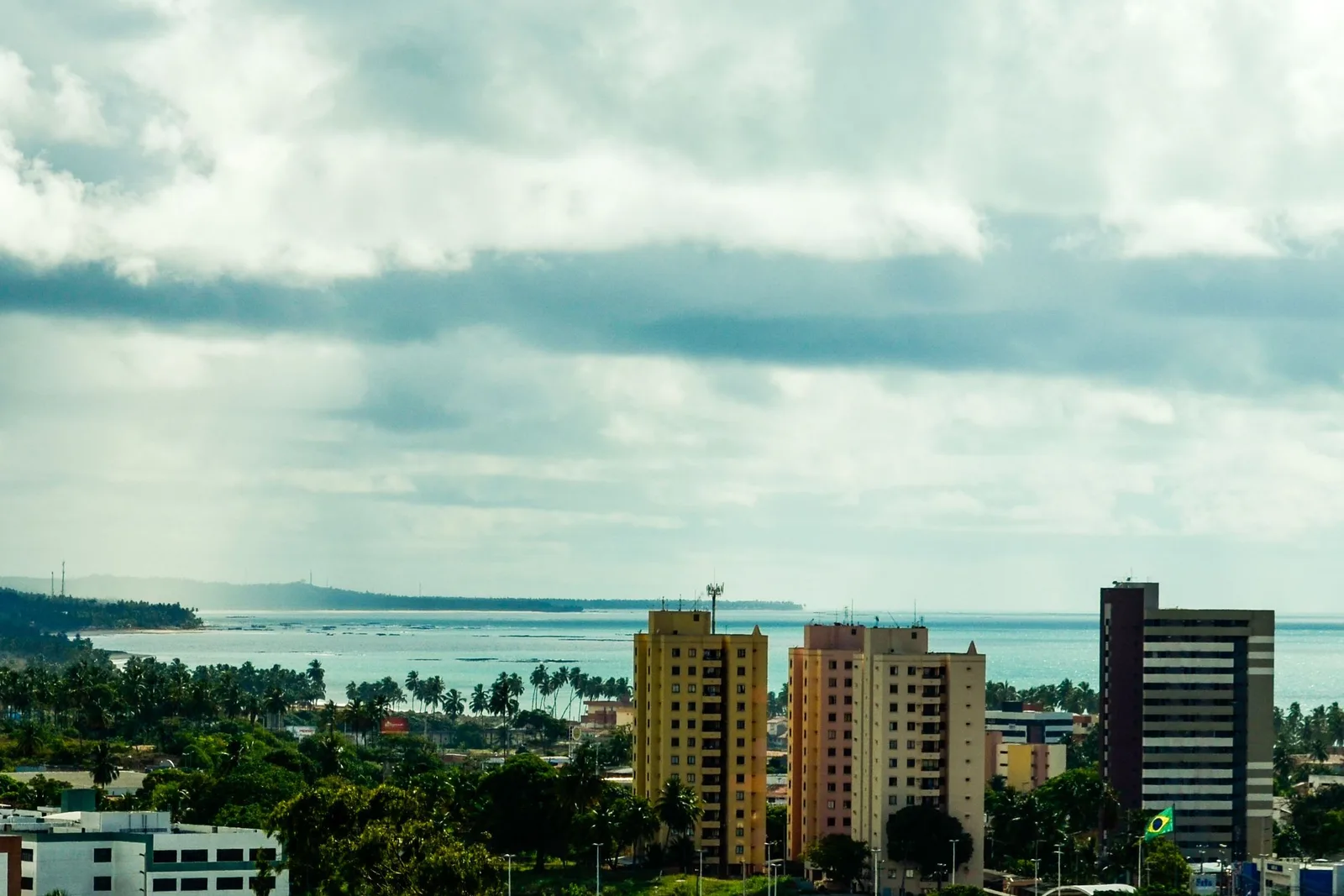
  • Maceió seen from the higher ground under a heavy sky: apartment blocks and trees in the foreground, and behind them the open ocean with a headland to the left and a long white line of surf breaking on the reef

    Above the Centro · half an hour

    The view from the upper city

    Maceió is built on two levels, and from the edge of the upper city you can see the whole shape of the place at once: the lagoon on one side, the ocean on the other, and the strip of towers along the seafront in between. It is the clearest way to understand a city whose geography is otherwise hard to read from the ground, and it takes twenty minutes.

South coast

  • Shallow clear water inside the reef at Praia do Francês with people standing waist-deep in it and a dark reef line breaking the surface further out

    Marechal Deodoro · half an hour south

    Reef pools at Praia do Francês

    The nearest reef pools to the city that need no boat at all. The northern half of Praia do Francês sits behind a coral bar, and at low tide the water inside it drops to knee height and goes glass-clear, so you walk out from the sand rather than sailing to it. The southern half of the same beach is open to the swell and has a surf break on it, which makes this one of the few beaches in Alagoas that does both.

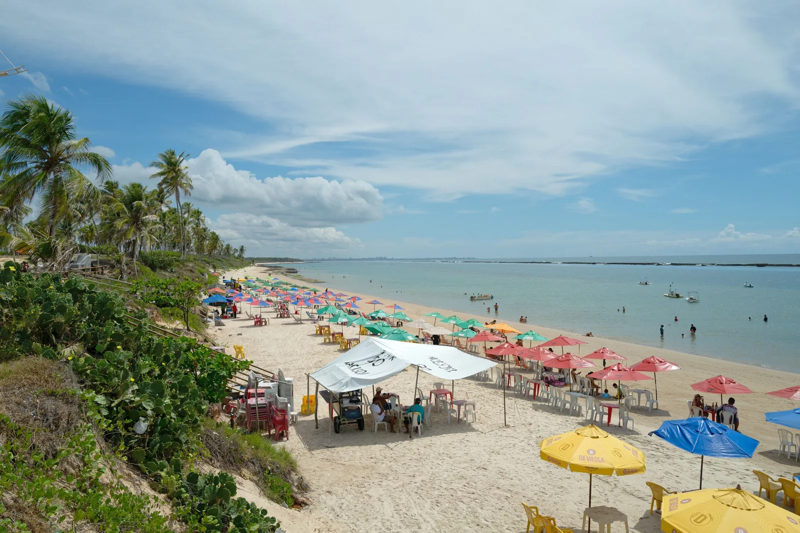
  • Praia do Francês from the low cliff above it: rows of colored parasols and tables along the sand, palms in the foreground and green shallow water beyond

    Praia do Francês · a whole afternoon

    Lunch on the sand at Francês

    The beach the city drives to on a Sunday. A long run of kiosks and restaurants under the palms on the protected end, chairs put out to the waterline, and enough seafood to justify the drive on its own. It is busy, it is not remotely undiscovered, and it is one of the most enjoyable beach afternoons on this coast. Pair it with Marechal Deodoro, which is four kilometers inland.

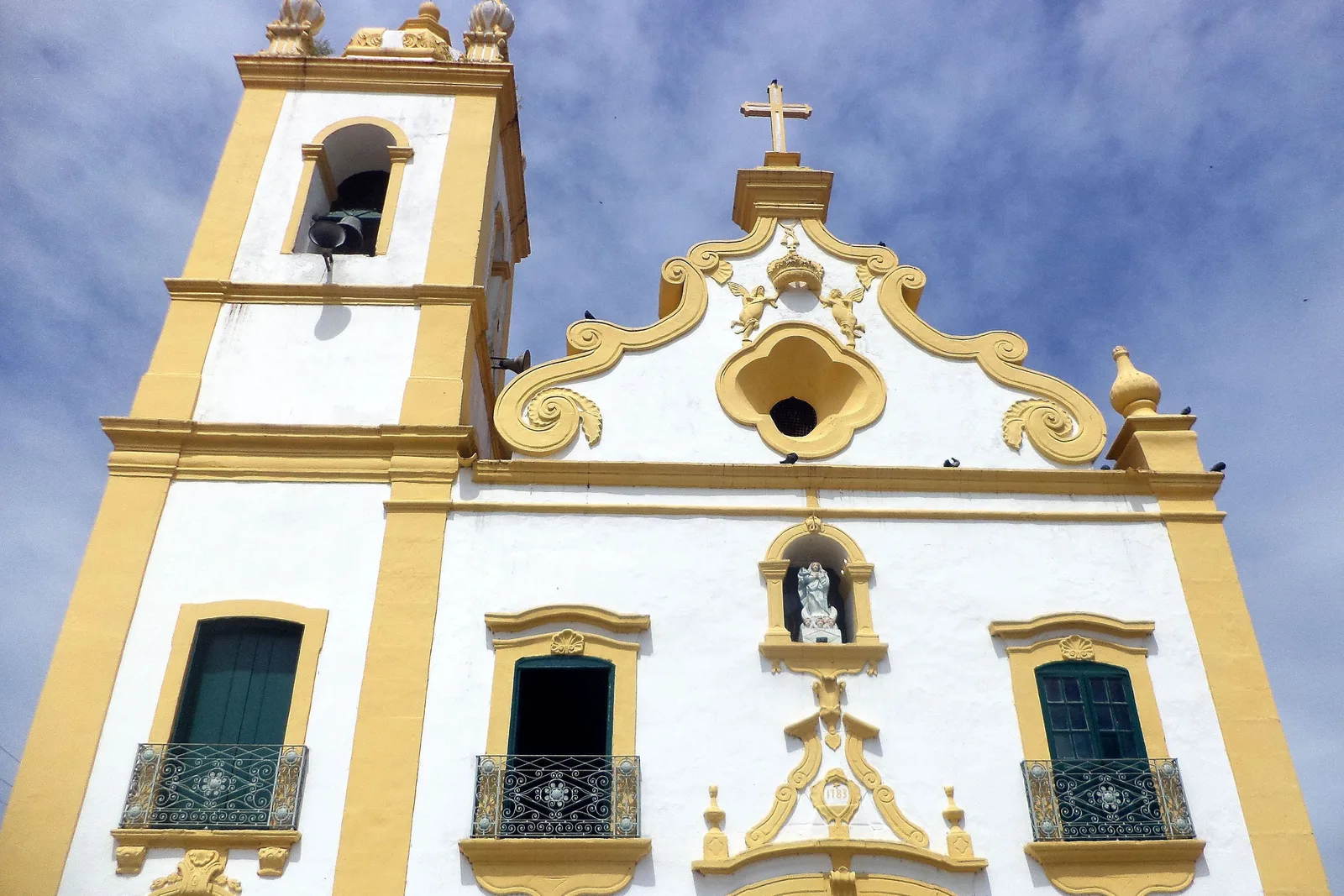
  • The baroque front of the parish church at Marechal Deodoro in white and gold, its curved gable and bell tower against a blue sky

    Marechal Deodoro · two hours

    The old capital at Marechal Deodoro

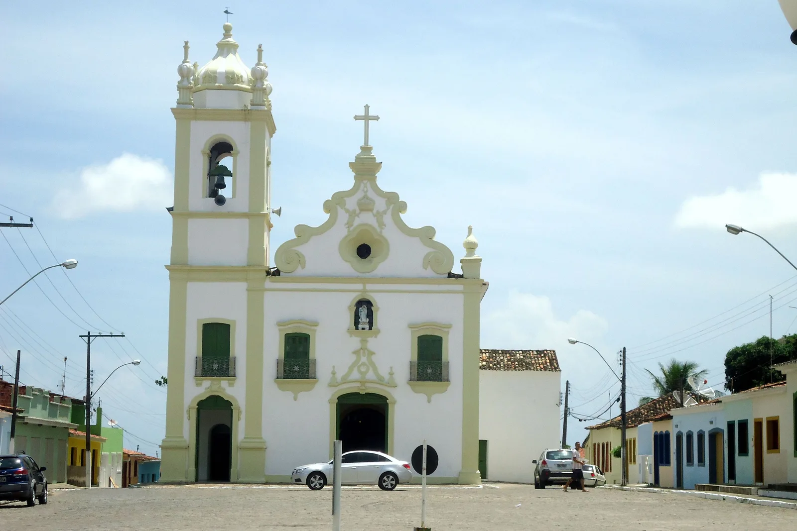
    Alagoas’s first capital, on the Manguaba lagoon, and the birthplace of the army officer who proclaimed the Brazilian republic and became its first president. Its historic center was listed as national heritage in 2006 and it is genuinely handsome and genuinely quiet: a baroque parish church in white and gold, a museum of sacred art in an old convent, the birth house, and a couple of streets of low colonial buildings above the water.

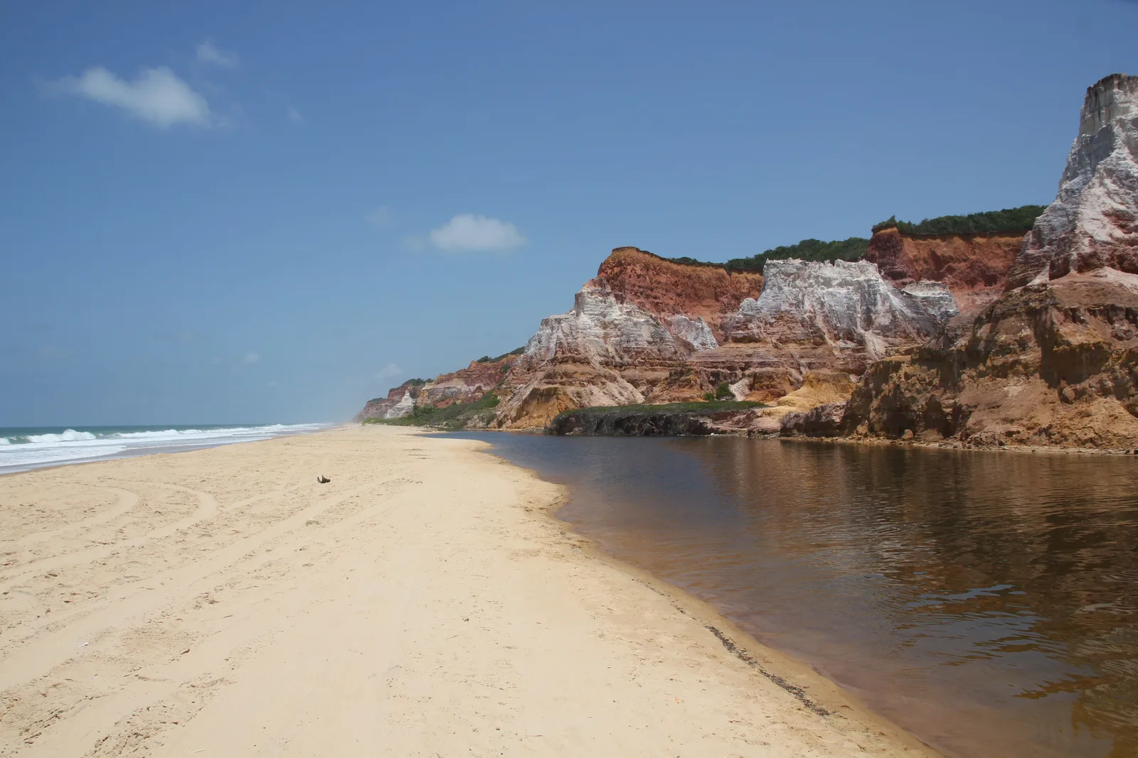
  • The colored cliffs at Gunga rising directly behind the beach, with the dark lagoon channel running along the sand in front of them

    Roteiro · a full day

    The cliffs and the lagoon at Gunga

    The set piece of the south coast. Striped sandstone cliffs, a coconut plantation running back from the top of them, and at the bottom a spit of sand with the Lagoa do Roteiro on one side and the Atlantic on the other. Boats cross the lagoon from Barra de São Miguel, which is the better arrival; buggies come down the cliff road. Kiosks, chairs and lunch at the bottom. Crowded at midday and yours by 4:00pm.

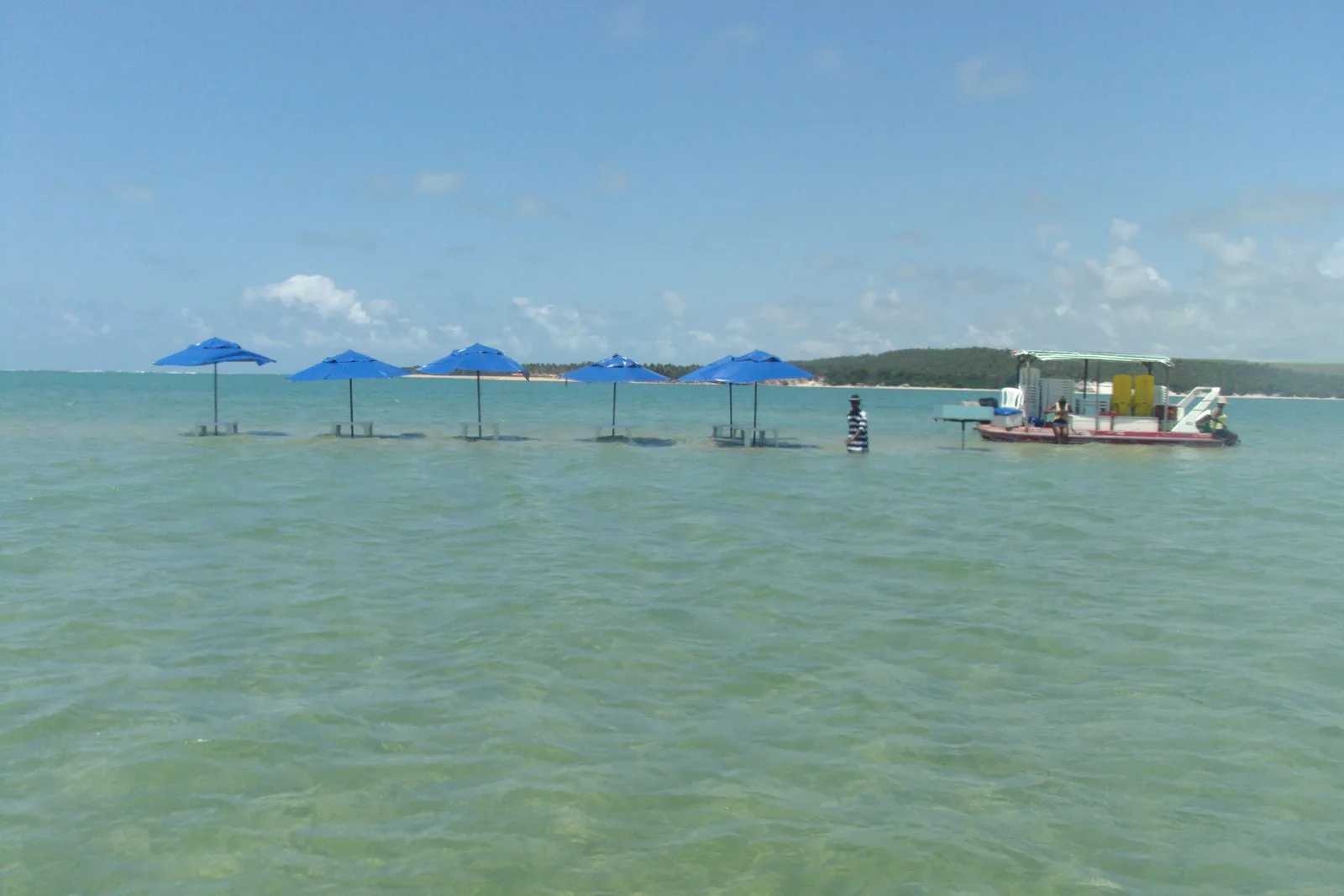
  • Blue parasols standing in shallow water on a sandbank at Praia do Gunga with a small boat moored beyond them and green wooded shore behind

    Roteiro · midday

    The sandbank at Gunga

    Where the lagoon meets the sea a shallow bank builds up, and the kiosks put their parasols straight out into it so you sit in a few inches of warm water with the cliffs behind you. On a low tide you can wade a long way out. It is the reason the boat approach is worth taking over the buggy: you arrive across the water and step out into it.

  • Dark reef rocks standing out of clear turquoise water at Barra de São Miguel with the open sea beyond them

    Barra de São Miguel · half a day

    Reef swimming at Barra de São Miguel

    A small resort town forty kilometers south with a reef sitting close in and a bay of almost still water behind it, which makes it the calmest swimming on this stretch and the easiest one with children. It is also where the boats to Gunga leave from, so most people see it as the front half of that day rather than a destination, and there is no reason not to.

North coast

  • Coconut palms leaning out over the white sand at Praia do Patacho, with clear shallow water and a low reef line running along beyond them

    Porto de Pedras · about two hours north

    Praia do Patacho

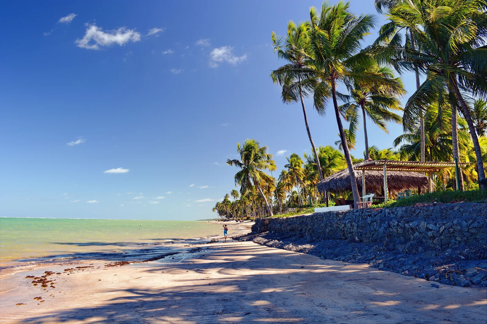
    The best beach in Alagoas by most reckonings and the only one in the state holding the international Blue Flag, now for five consecutive seasons. It is a long, wide, almost undeveloped curve of white sand behind a reef, with palms leaning over it and a handful of small pousadas set back in the trees. There is nothing to do there, which is entirely the point.

  • The village of Porto da Rua at São Miguel dos Milagres from the air: red-roofed houses among palms along a pale beach, with small boats moored on turquoise water inside a reef

    Passo de Camaragibe to Porto de Pedras · a full day

    The Rota Ecológica

    Sixty-odd kilometers of coast road through three small municipalities, running just behind the beach the whole way, with the sea visible through the coconuts and a village every few kilometers. São Miguel dos Milagres is the middle of it and where most of the good pousadas are. It is the drive that justifies renting a car, and if you only do one day outside Maceió, do this one rather than Maragogi.

  • The beach at Tatuamunha where the river meets the sea: a fallen palm trunk lying across pale sand with shallow green water and a wooded shore beyond

    Porto de Pedras · a morning, booked ahead

    Manatees on the Rio Tatuamunha

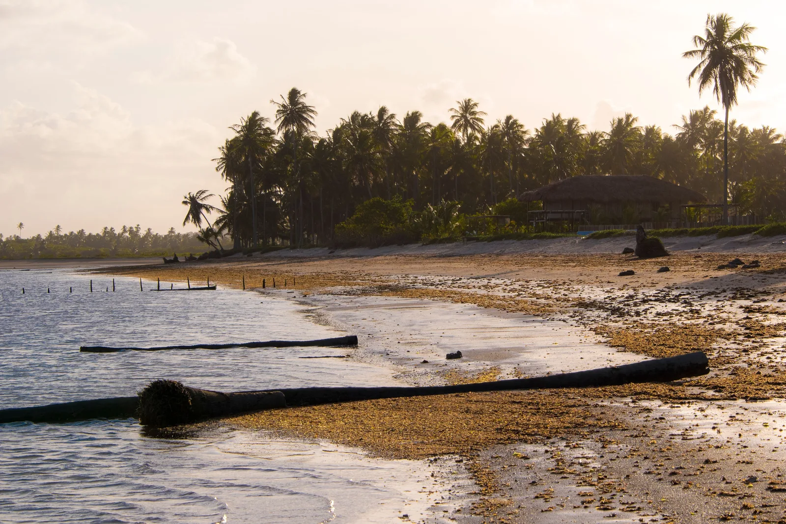
    ICMBio, the federal conservation agency, runs its main Antillean manatee release program on this river, and the visit is a jangada trip upstream in a small group to see the animals in the water they were released into. Daily numbers are capped deliberately low and the animals are wild, so nothing is guaranteed. Book it before you drive up; it is the one thing on this coast that turns people away.

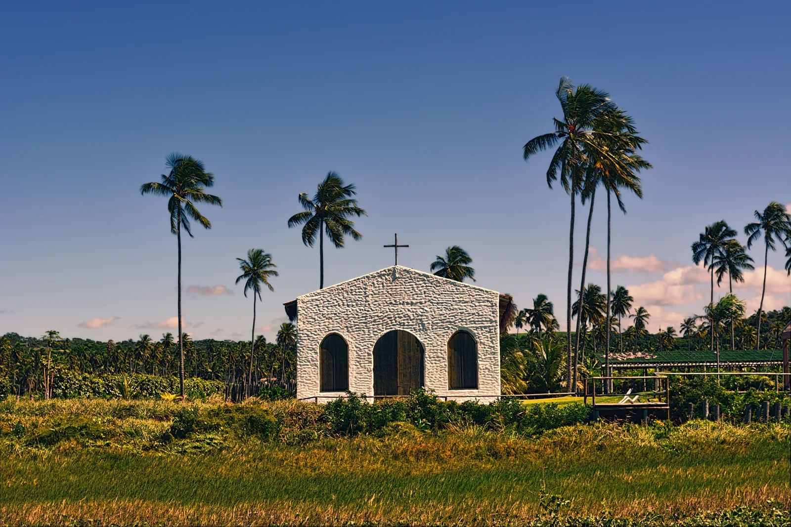
  • A small white chapel with a single cross on its gable standing among tall coconut palms under a blue sky

    São Miguel dos Milagres · twenty minutes

    The Capela dos Milagres

    A small whitewashed chapel standing on its own among the coconut palms just back from the beach at Praia do Riacho, and one of the oldest buildings on this coast. It takes twenty minutes and it is the only piece of built history on the Rota Ecológica, which is otherwise entirely sand, palm and water.

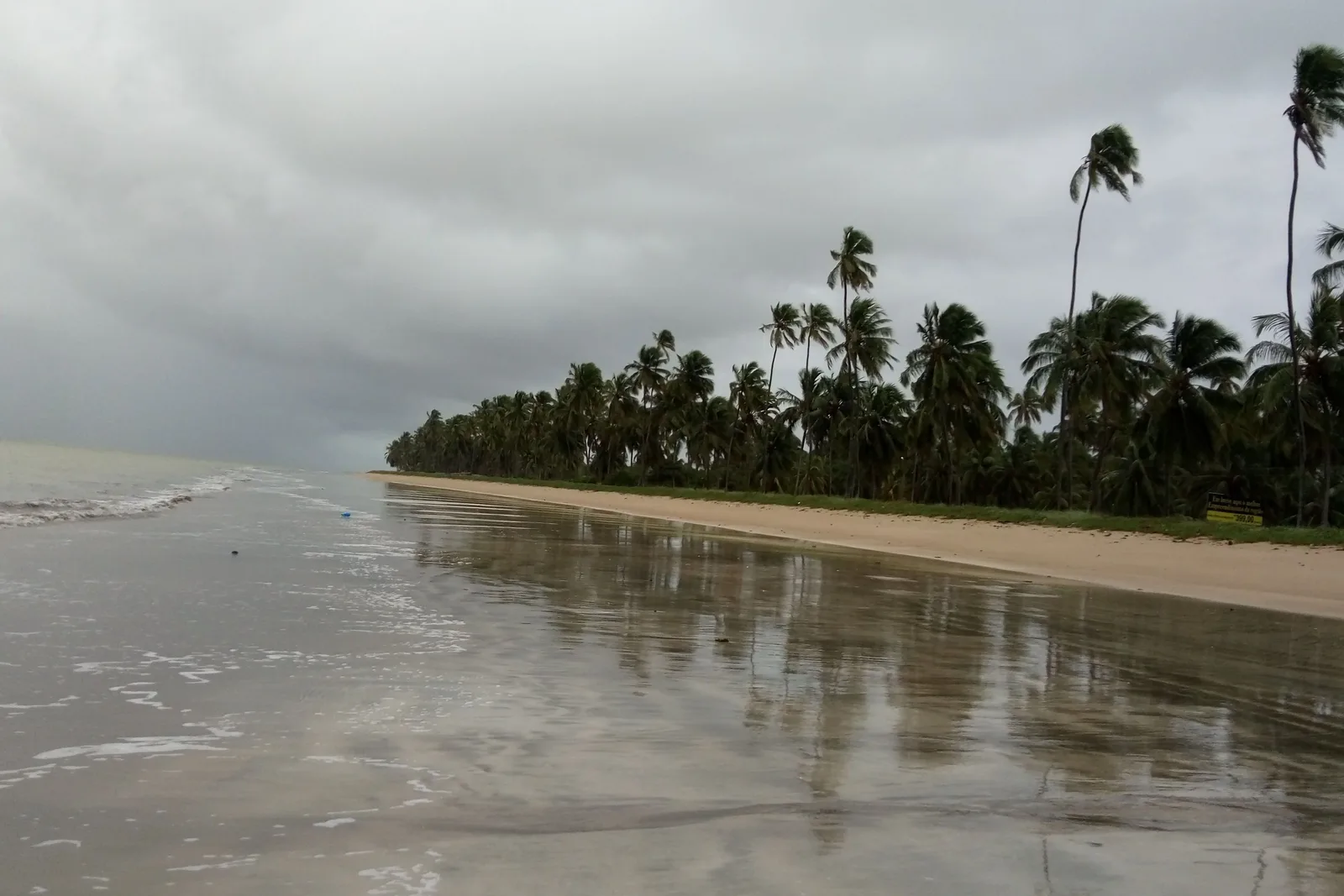
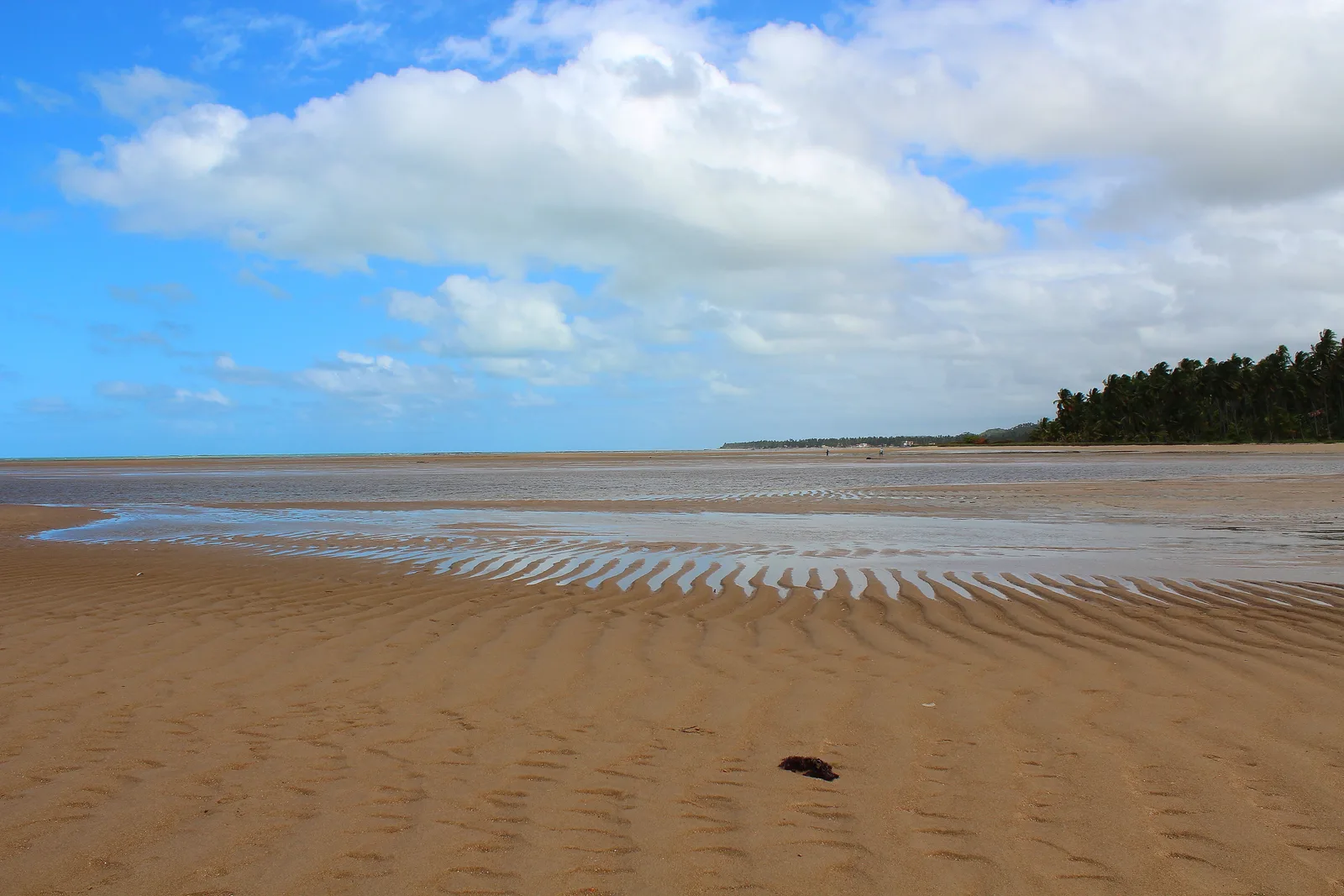
  • The beach at Japaratinga on a cloudy day: a broad flat expanse of wet pale sand and shallow water reflecting a heavy gray sky

    Japaratinga · half a day

    Low tide at Japaratinga

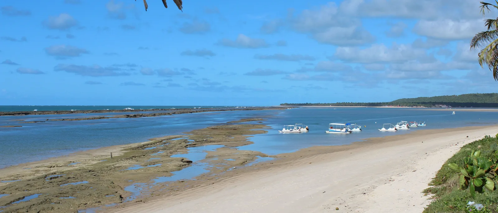
    The last town before Maragogi, and the place where the tide does its most dramatic trick on this coast: the sea pulls back several hundred meters and leaves a pale, rippled, ankle-deep flat you can walk out across for a long way. It is quieter than Maragogi, it costs nothing, and it needs no boat — just the same low tide the boats need.

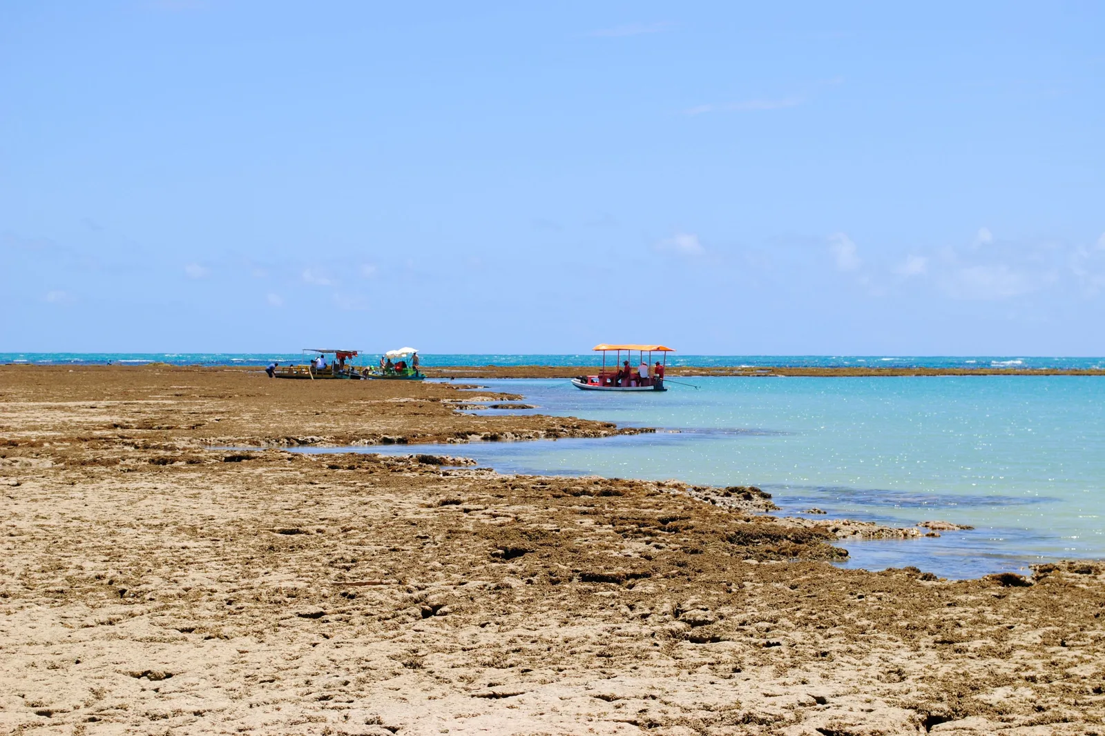
  • The exposed reef flat at low tide off Praia do Patacho with dark coral and shallow pools in the foreground and two small tour boats anchored out on the water beyond

    Porto de Pedras · at low tide

    Boats over the reef at Patacho

    The reef pools north of Maceió are not a Maragogi monopoly. Off Patacho and Tatuamunha the same coral bank comes up at low tide, and small boats run out from the beach for a fraction of the price and with a fraction of the crowd. The water is not quite as clear as the Galés on a perfect day, and on most days you will not be able to tell the difference.

Maragogi

  • The reef off Maragogi breaking the surface of flat turquoise water in a long dark line, with open sea and a band of white surf beyond it and no land in sight

    Maragogi · a full day from Maceió

    The Galés reef pools

    The reason people drive two and a half hours north. About six kilometers offshore, a reef bank comes out of the water at low tide and leaves a field of clear pools standing on it, waist-deep and full of fish. Catamarans and speedboats run out from the town beach, take about half an hour, and give you an hour or so in the water. Roughly twenty-two dollars a head plus a seven-real municipal environmental fee. Nothing about this trip is difficult; the only hard part is the date.

  • The tide far out at Maragogi: a vast rippled sand flat under shallow water stretching away to a distant line of coconut palms

    Any beach in Maragogi · the day before

    Reading the tide table before you book

    The pools exist only at low tide, and the boats only run on days when low water falls between roughly 0.0 and 0.6 meters in daylight. A meaningful share of days in any month fail that test, and the failures come in runs rather than singly, so a bad week is a real possibility. Book your Maragogi day against the tide table, not against your itinerary. The good stretches fall around the new and full moon, when spring tides pull the water furthest out.

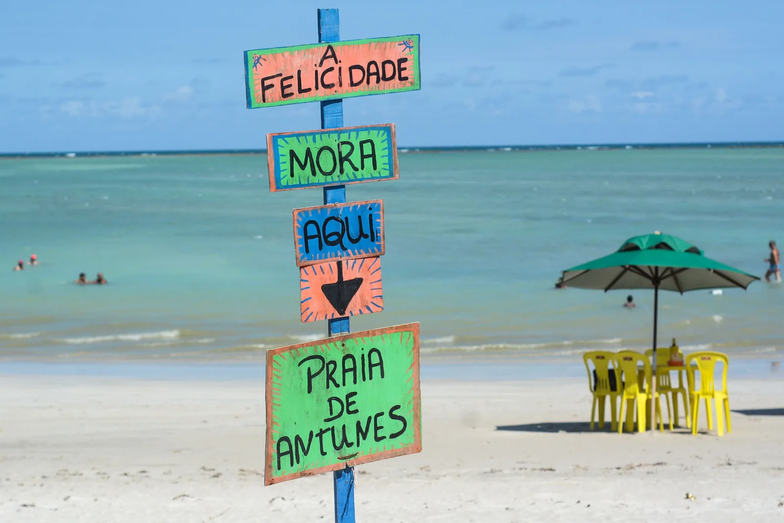
  • A hand-painted signpost reading Praia de Antunes standing on the sand beside a green parasol and yellow chairs, with calm green water behind

    Maragogi · an afternoon

    Praia de Antunes

    The beach two kilometers south of the town center and the one to go to when the boats are not running. Reef-protected, shallow, quiet, with a handful of kiosks and green chairs on the sand and none of the tour-boat traffic. If your Maragogi day lands on a bad tide, this is the day it becomes, and it is a perfectly good one.

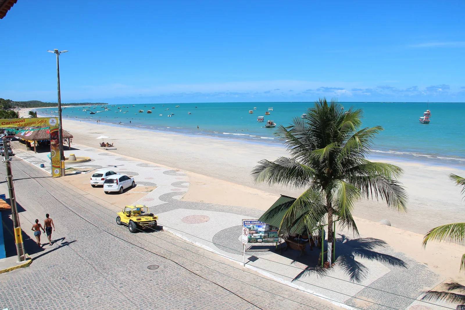
  • The Maragogi seafront from above: a paved avenue and a patterned promenade with one big coconut palm standing over it, a yellow buggy parked at the curb and fishing boats moored on flat turquoise water offshore

    Maragogi · an hour, either side of the boat

    The town beachfront

    Maragogi itself is a small working beach town with one long seafront avenue, a line of palms, a fishing fleet moored just off the sand and a strip of restaurants behind. It is where every boat leaves from and returns to, and it is pleasant rather than remarkable. Eat before you go out rather than after; the boats come back into a queue.

Where to stay

One promenade, four stretches of it.

Almost everyone stays on the seafront, and they are right to: the reef, the kiosks, the restaurants and the boats are all on it, and the whole strip is walkable end to end. What changes between the four below is how loud the evening is and how far the water goes out. Two things that are not zones. If you want the coast rather than the city, the pousadas on the Rota Ecológica around São Miguel dos Milagres are the best rooms in Alagoas and two hours north, and they are a separate trip rather than a base for this one. And if you are going to Maragogi, go for the day: it is two and a half hours each way, the boats only run on the right tide, and sleeping there commits you to a town you may not be able to use.

Drag and zoom to explore.

Tap an area to open it and see it on the map

  • Best for: Being in the middle of everything

    The Pajuçara seafront in a wide panorama: green shallow water, a broad strip of sand and a continuous line of apartment towers behind the palms

    The oldest and busiest stretch of the seafront, and where the jangadas leave for the reef pools. It has the highest concentration of hotels, the evening craft market, the food carts and the most people on the promenade after dark. It is also the least polished of the three city zones — a little older, a little scruffier, and cheaper for it. Take it if you want to walk out of the door into the middle of the city; take Ponta Verde if you would rather swim.

    • Most hotels
    • The jangada beach
    • Night market
    • Busiest
  • Our pick

    Best for: The best swimming in the city

    Ponta Verde beach under coconut palms: wide pale sand, a few people at the waterline and flat turquoise water running out to a reef line

    The stretch immediately north of Pajuçara, and the best beach inside the city by some distance: the reef sits close in, the water behind it is flat and shallow, and the sand is wide. It is the smartest part of the seafront, with the newer mid-range hotels, the better restaurants and a promenade that is busy without being crowded. It is a fifteen-minute walk to the Pajuçara jangadas and a five-minute ride to the Jatiúca bars, which is the right position to be in.

    • Best swimming
    • Newer hotels
    • Good restaurants
    • Central
  • Best for: Evenings out and more space

    Jatiúca beach in a wide frame: surf breaking on an open stretch of sand with palms and the buildings of the seafront running away into the distance

    North of Ponta Verde the reef opens and the sea comes in, which means real waves, a livelier evening and rather more space. Jatiúca has the best run of bars and restaurants on the seafront and the largest resort hotels; Cruz das Almas, further north again, is the residential end where the newest and best-value rooms are. Swimming takes more attention here than it does two beaches south. Everything else is better.

    • Nightlife
    • Surf
    • Newest rooms
    • Better value
  • Best for: A beach town instead of a city

    The beach at Barra de São Miguel in a wide frame: boats moored on flat water inside a reef line, pale sand and coconut palms along the shore

    Half an hour south of the city, and the real alternative to sleeping on the orla. Praia do Francês has reef pools you can walk to, a surf break at the other end and a village of pousadas and restaurants behind it; Barra de São Miguel, twenty minutes further, is quieter still and is where the Gunga boats leave. You trade the seafront restaurants and the easy ride apps for a beach town that goes quiet at 10:00pm. Good with a car, awkward without one.

    • Reef pools on foot
    • Pousadas
    • Quiet evenings
    • Car recommended

A working plan

Two days in the city, three on the coast.

Four nights covers Maceió and one direction out of it; five covers both directions and Maragogi. Only one day here is tide-dependent, and it is deliberately the last one, so it can move when the tide table says it has to.

  1. 01
    Beach kiosks and parasols under coconut palms along the sand at Ponta Verde, with bicycles parked in the shade and the sea beyond

    Pajuçara, Ponta Verde & Jatiúca

    The seafront and the reef

    Walk the promenade end to end in the morning, swim at Ponta Verde where the reef holds the water flat, and take a jangada out to the Pajuçara pools if the tide is low in daylight. Dinner in Jatiúca.

  2. 02
    Sunset from a boat on the Mundaú lagoon: the sun low over flat water with a dark line of palms along the far shore

    Centro, Pontal da Barra & the Mundaú

    The lagoon side

    The cathedral, the Palácio Floriano Peixoto and the craft market before lunch, then across to Pontal da Barra for the lace workshops and the afternoon Nine Islands boat. Sururu on the water, and the only sunset in Maceió that happens over the sea.

  3. 03
    The parish church at Marechal Deodoro across its paved square: a cream and white baroque front with a single bell tower on the left, low colored colonial houses running away on either side

    Praia do Francês, Marechal Deodoro & Gunga

    South to the cliffs

    Reef pools you can walk to at Praia do Francês, then twenty minutes inland to the baroque churches and lagoon front of Alagoas’s first capital. Finish at Gunga, arriving by boat across the lagoon rather than by road.

  4. 04
    The view from a headland north of Maceió over a wide coconut plantation to a pale beach and the flat sea beyond

    São Miguel dos Milagres & Porto de Pedras

    North on the Rota Ecológica

    The coast road through the coconut groves: the manatee sanctuary on the Tatuamunha if you booked it, the Capela dos Milagres, and a long afternoon on the white sand at Patacho. The best driving day in Alagoas.

  5. 05
    The reef at Maragogi exposed by the falling tide: a brown coral flat under a few inches of clear water, with deeper turquoise sea beyond it

    Maragogi, 130 km north

    Maragogi, if the tide allows

    Two and a half hours up the coast for the Galés, a reef bank six kilometers offshore that surfaces at low tide. Check the tide table before you commit the day. If it is wrong, spend it at Japaratinga or back on the Rota Ecológica instead.

This is a starting shape, not a fixed departure — we rearrange it around your dates. Have it built for you

Timing

A dry half, a wet half, and a tide that ignores both.

Maceió has a genuinely dry season and it falls in the northern winter, which is the opposite of most of Brazil: November and December are the two lightest months of the year, against more than 300 mm in June. November is the one with the fewest rain days, five (Climates to Travel, Maceió normals 1991–2020). Air temperature barely moves — highs of 28 to 32 all year — and the sea sits between 26 and 28 degrees every single month. Two things decide a trip here. The rain, which is seasonal and predictable. And the tide, which is neither.

Rainfall, rain days, air and sea temperature and UV for Maceió, month by month. Choose a month to see what the weather is doing then.

January

Good
Air
21–31°C 70–88°F
Sea
28°C 82°F
UV
11 Extreme
Rain
9 days 91 mm / 3.6 in

Hot, bright and busy. Brazilian holidays fill the seafront through the middle of the month.

February

Good
Air
22–31°C 72–88°F
Sea
28°C 82°F
UV
11 Extreme
Rain
7 days 80 mm / 3.1 in

The fewest rain days of the first half of the year, and the warmest sea. Carnival prices.

March

Good
Air
22–32°C 72–90°F
Sea
28°C 82°F
UV
11 Extreme
Rain
10 days 101 mm / 4.0 in

The hottest month and still mostly dry. The crowds have gone and the water is at its best.

April

Trade-offs
Air
22–31°C 72–88°F
Sea
28°C 82°F
UV
10 Very high
Rain
16 days 194 mm / 7.6 in

The rain steps up sharply in the second half of the month as the wet season opens.

May

Trade-offs
Air
21–30°C 70–86°F
Sea
28°C 82°F
UV
8 Very high
Rain
18 days 295 mm / 11.6 in

Properly wet, and the sea still 28 degrees. Room rates start falling.

June

Trade-offs
Air
20–28°C 68–82°F
Sea
27°C 81°F
UV
7 High
Rain
22 days 323 mm / 12.7 in

The wettest month of the year. Cooler, gray and green, with rain on three days in four.

July

Trade-offs
Air
20–28°C 68–82°F
Sea
26°C 79°F
UV
7 High
Rain
23 days 271 mm / 10.7 in

The most rain days of any month. Brazilian school holidays fill the hotels anyway.

August

Trade-offs
Air
20–28°C 68–82°F
Sea
26°C 79°F
UV
9 Very high
Rain
20 days 192 mm / 7.6 in

The tail of the wet season and the coolest month. The rain begins to ease late on.

September

Good
Air
20–28°C 68–82°F
Sea
26°C 79°F
UV
10 Very high
Rain
13 days 109 mm / 4.3 in

Rain drops away and the sun comes back. Quiet, cheap and one of the best months here.
October

Good
Air
20–30°C 68–86°F
Sea
26°C 79°F
UV
11 Extreme
Rain
7 days 70 mm / 2.8 in

Dry, warm and still uncrowded. The best value month of the year on this coast.

November

Best
Air
21–31°C 70–88°F
Sea
27°C 81°F
UV
11 Extreme
Rain
5 days 45 mm / 1.8 in

The fewest rain days of any month, five, on the Maceió 1991–2020 normals published by Climates to Travel. December is lighter by the millimeter; November is the month that loses the fewest days to rain. Hot, bright and still ahead of the summer rates.

December

Good
Air
21–31°C 70–88°F
Sea
27°C 81°F
UV
11 Extreme
Rain
6 days 37 mm / 1.5 in

The lowest rainfall of the year, and quiet until about the 20th. After that the seafront sells out.

  • Best The one or two peak months
  • Good A real recommendation
  • Trade-offs Workable, with a catch
See Maceió on the Brazil calendar

UV is the monthly average of the daily peak, 2022 to 2025, calculated from Copernicus Atmosphere Monitoring Service data. Weather data by Open-Meteo.com, CC BY 4.0.

For the driest weather

October–March

Six months averaging 37 to 101 mm each, against 190 to 320 in the wet half. November and December are the driest of the year, and September and October are the quietest good months.

For the reef pools

Around the new and full moon

Spring tides pull the water furthest out, and the boats to the Galés only run when low water falls between roughly 0.0 and 0.6 m in daylight. Check the Navy’s tide table for your dates before you book anything.

The wet season

April–August

Alagoas’s own civil defense dates the rainy season from the second half of April to mid-August. June is the wettest month at about 323 mm across 22 rain days, and July has rain on 23 days out of 31.

About the rain

The wet season here is a real season, not a shower pattern, and it is worth understanding because it runs against what most people expect of northeastern Brazil. The dry months are the northern winter — October through March — and the wet months are the middle of the year. Alagoas’s state civil defense dates the quadra chuvosa from the second half of April to mid-August, with the heaviest falls in May, June and July, and INMET’s own normals show the same step: 101 mm in March, 194 in April, 323 by June. So April is the start and June is the peak. Both figures get quoted as “when the wet season begins” and they are describing different things.
What that means in practice is that a June trip is not a washout, it is a compromise. Rain falls on twenty-two days in June, usually in long gray stretches rather than tropical downpours, the sea is still 27 degrees, and the room rates are half what they are in January. A December trip is the opposite: 37 mm across six days, and the highest prices of the year. And in none of those months does the weather tell you anything at all about whether the reef pools will be there, which is the mistake this coast punishes most often.

The dates worth planning around

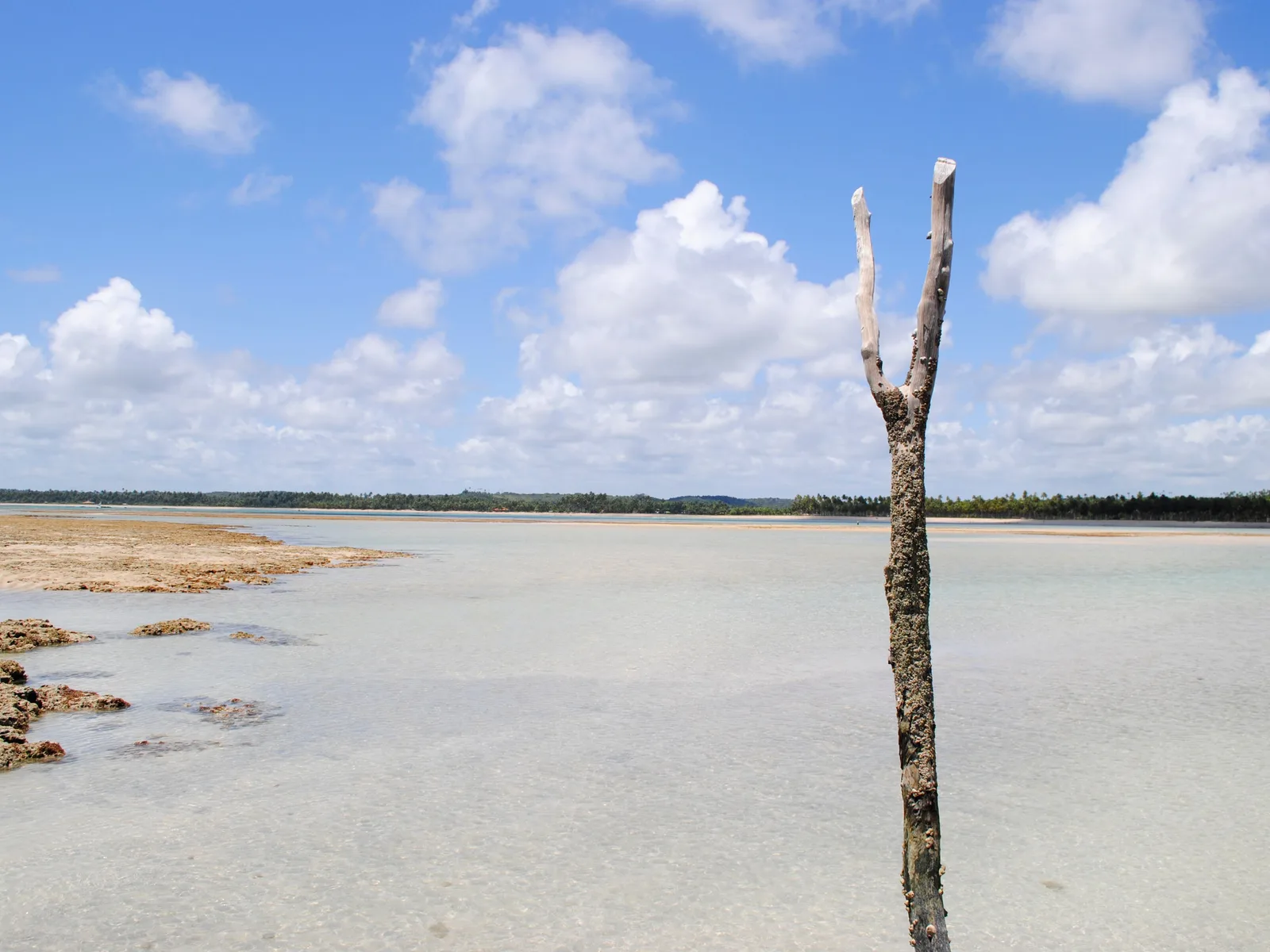
A bare weathered tree standing on an exposed reef flat at low tide, with shallow water and dark coral running out toward the sea behind it

The tide calendar

Every day of the year, on a fortnightly cycle

Not an event, but the thing that decides more of this trip than any festival does. The reef pools at Pajuçara, Francês, Patacho and Maragogi exist only when the sea drops off the coral, and the boats only run when low water falls between roughly 0.0 and 0.6 meters in daylight. On the Brazilian Navy’s 2026 tables for the port of Maceió, eight to twelve days a month fail that test, and they fail in runs of five to seven consecutive days. The good stretches cluster around the new and full moon, when spring tides pull the water furthest out; the bad ones around the quarter moons. Look up your dates before you book the day, and put the flexible day at the end of the trip.

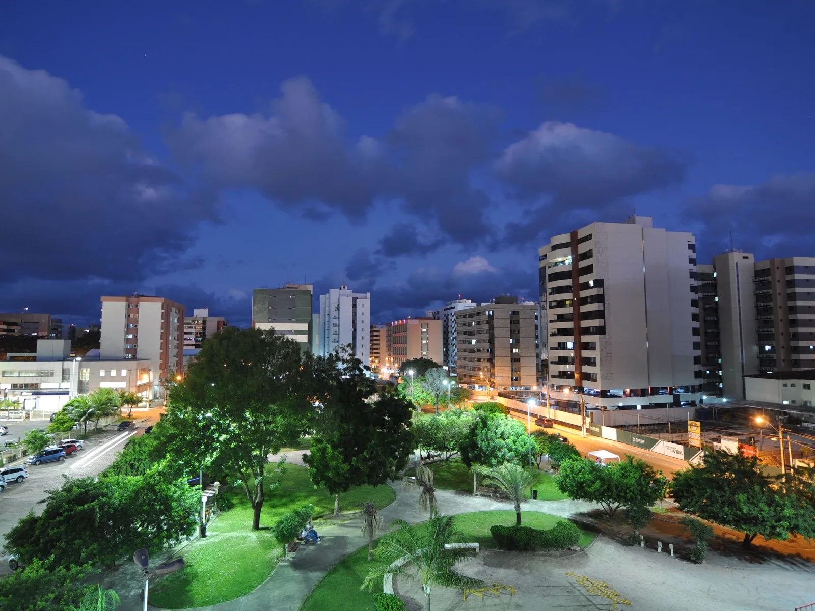
Maceió at dusk from above: apartment blocks along a lit avenue with a floodlit green park of lawns and trees in the foreground under a deep blue sky

Réveillon on the beaches

31 December, every year

New Year’s Eve is the biggest night in Maceió by a long way. The whole seafront turns out in white, the city puts a stage and fireworks on the sand, and there are paid parties on the beaches north of Jatiúca with the sort of lineup that sells out in October. It is also the single most expensive week of the year to be here: hotels on the orla are booked months ahead and rates run at multiples of the November price. Come for it deliberately or come in a different fortnight.

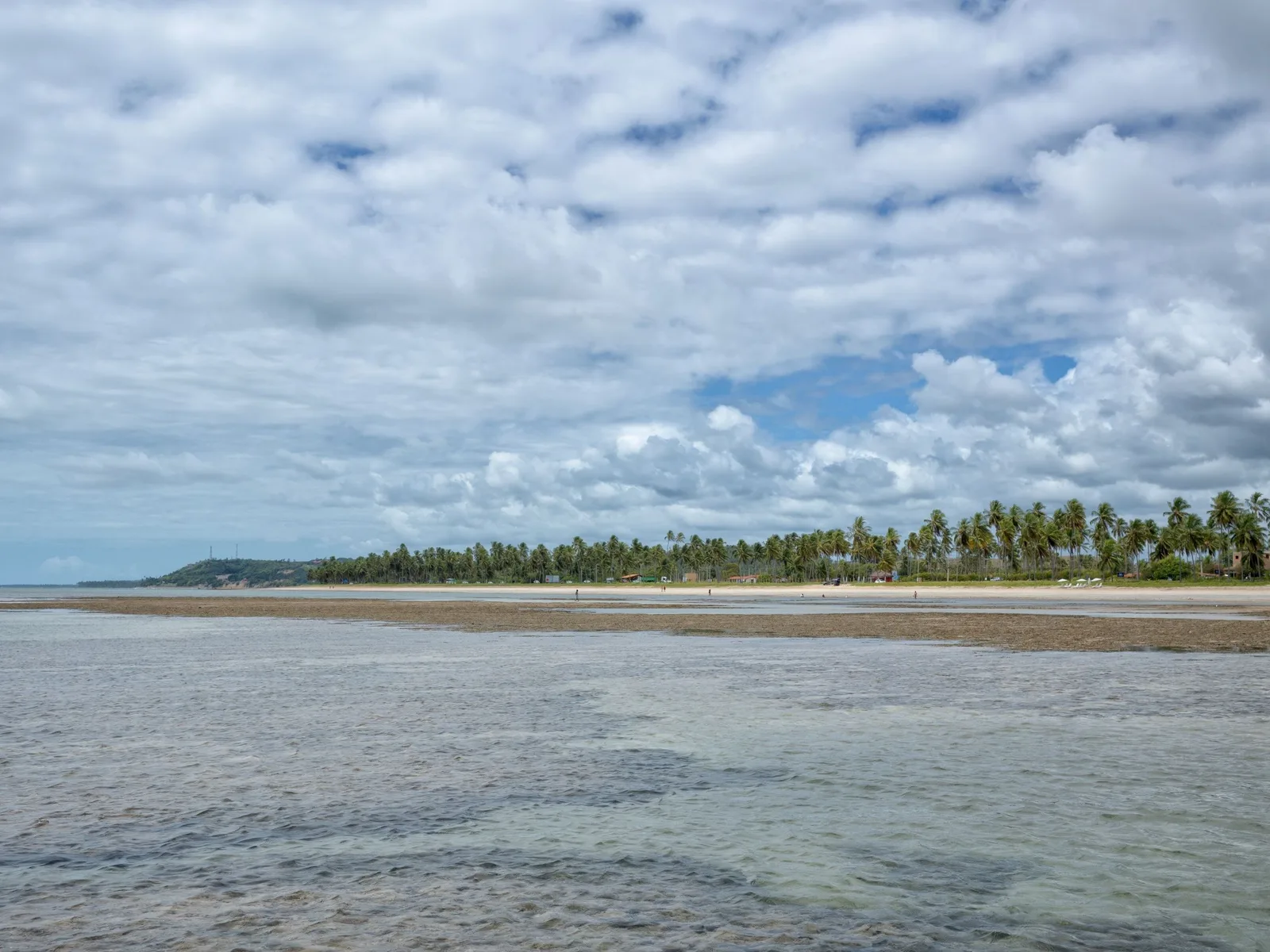
A wide flat beach at low water under a sky packed with white cumulus, shallow water running over pale sand flats and a low line of coconut palms in the distance

The quadra chuvosa

Second half of April to mid-August

The state’s rainy season has an official name and official dates, because the civil defense plans around it every year. It starts in the second half of April, peaks across May, June and July, and eases in the second half of August. It does not stop anything — the sea stays between 26 and 28 degrees, the kiosks stay open and the boats keep running on the right tides — but it means gray stretches rather than afternoon downpours, and it means half the rooms are empty. If you want this coast cheap and quiet and you do not need a tan, this is when to come.

Good to know

Before you come

How many days do I need in Maceió? +

Four nights is the honest minimum and five is better. Two days go on the city itself: the seafront and the reef pools on one, and the lagoon side, the Centro and the Nine Islands boat on the other. That leaves one day for the south coast — Praia do Francês, Marechal Deodoro and Gunga — and one for the Rota Ecológica north. If you want Maragogi as well, that is the fifth day, and it should be the last one so you can move it when the tide is wrong. Three nights works if you skip one direction, and most people who do it that way skip Maragogi rather than the north coast, which is the right call.

When are the reef pools actually there? +

At low tide, and only when the low tide is both deep enough and in daylight. The boats to Maragogi’s Galés run on days when low water falls between roughly 0.0 and 0.6 meters; on the Brazilian Navy’s own tide tables for this coast, eight to twelve days a month do not meet that, and those days come in runs of five to seven in a row. That is why a week booked without checking can contain four or five consecutive days with no usable low water. Look up the tide table for the port of Maceió before you fix the date. The good windows fall around the new and full moon, when spring tides pull the water furthest out. Maceió itself is far more forgiving: the reef runs the whole length of the city, so even on a bad tide you can swim in flat, shallow, protected water straight off the sand.

Is Maragogi worth the drive, or should I just stay in Maceió? +

It is worth one day if the tide is right and it is worth nothing if it is not, which is an unusual thing to say about a destination. Maragogi is 130 km and two and a half to three hours each way, the pools are six kilometers offshore, and the trip is over by mid-afternoon. On a good tide it is the best snorkeling on this coast. On a bad one you have driven five hours for a pleasant beach town. If you only have one day to spend outside the city, the Rota Ecológica north through São Miguel dos Milagres is the better use of it, because it does not depend on anything. And if you want reef pools specifically, Praia do Francês is half an hour south and you walk out to them.

Is Maceió safe? +

For a visitor staying on the seafront, yes, with ordinary caution. Alagoas has a real violence problem — 33.1 violent deaths per 100,000 in 2025, though that is the lowest the state has recorded since the national series began in 2012 and roughly half the level of a decade ago — and it is concentrated in districts on the plateau above the city that contain nothing you would go to. The visitor zone is one continuous, built-up, lit seven-kilometer seafront several kilometers away from any of it, and the realistic risk there is theft rather than anything worse: take only what you can carry into the water, and use a ride app after dark rather than walking between neighborhoods. The Centro is fine in office hours and empty after them.

What is going on with the neighborhoods that are sinking? +

It is real, it is one of the largest urban evacuations in Brazilian history, and it is several kilometers from anywhere on this page. Four districts on the lagoon side of Maceió — Pinheiro, Mutange, Bebedouro and Bom Parto, plus part of Farol — began cracking apart in 2018 after decades of rock-salt mining hollowed out the ground beneath them. About 60,000 people were moved out of roughly 14,500 properties, the mining company has been ordered to pay compensation running into billions of reais, and by March 2026 around two thirds of the buildings had been demolished. The area is empty, fenced and privately patrolled. It is not a sight and it is not a tour. Pajuçara and Ponta Verde, where you will actually be, are about eight and nine kilometers away, and no beach, hotel or road on this page is affected.

Keep going

Where Maceió fits on this coast.

Nobody flies to Alagoas and straight home. These three are the trips that most often go either side of it, and all three sit on the same stretch of Atlantic shore.

Free · 29 pages

Free guide

Beginner's Guide to Brazil

A free 29-page guide to everything a first-time visitor should know before landing: visas, safety, money, getting around, where to go, and what to eat.

We'll email you a link to confirm your address. Click it and the guide opens right away.

See what's inside
Sunset at Praia do Gunga: the sun low behind a dark line of palms, warm light across the water and a small boat moored offshore

Skip the planning

The tide decides this trip. We can read it for you.

Tell us your dates and we will tell you plainly which of your days have a usable low tide, how to build the week around Maceió and the coast running north and south of it, and how to fit it together with Porto de Galinhas and Recife without driving the same road twice.

  • One person, living in Brazil, replying to you directly
  • A reply within one business day — no call center, no bots
  • No cost to plan, and no obligation to book
  • Built around your dates, not a fixed departure