
Skip to content
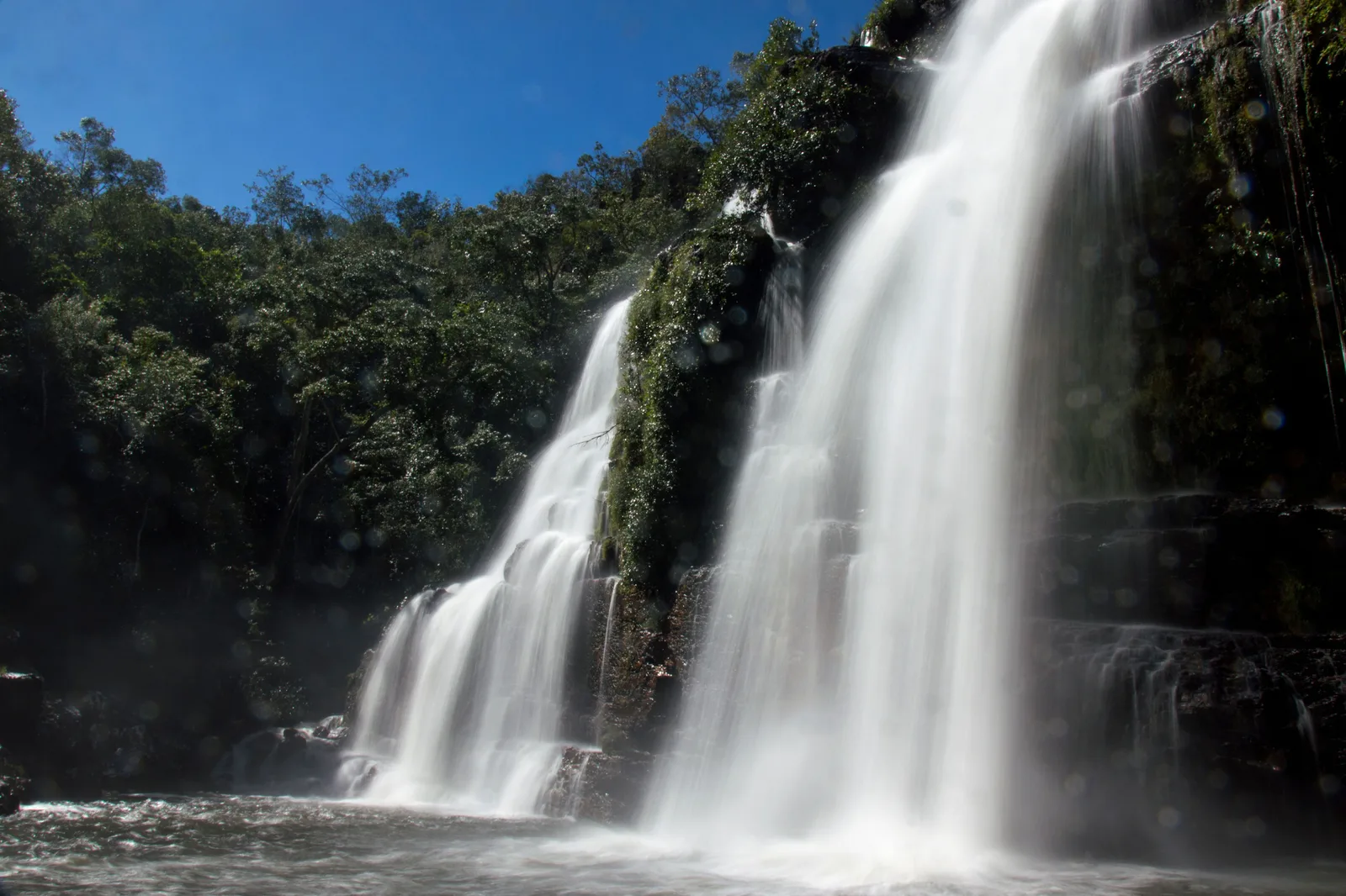
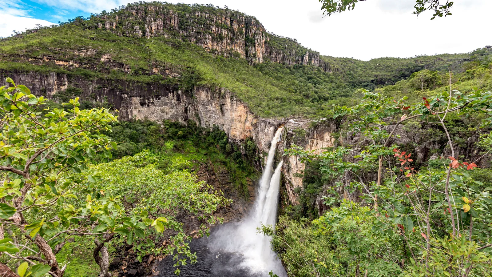
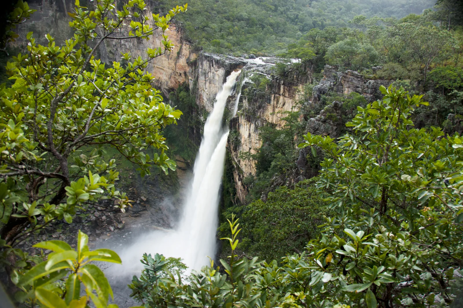
A tall waterfall falling in two white streams into a dark pool at the foot of a sheer canyon wall, with green cerrado and a long rock ridge above

Goiás

Chapada dos Veadeiros

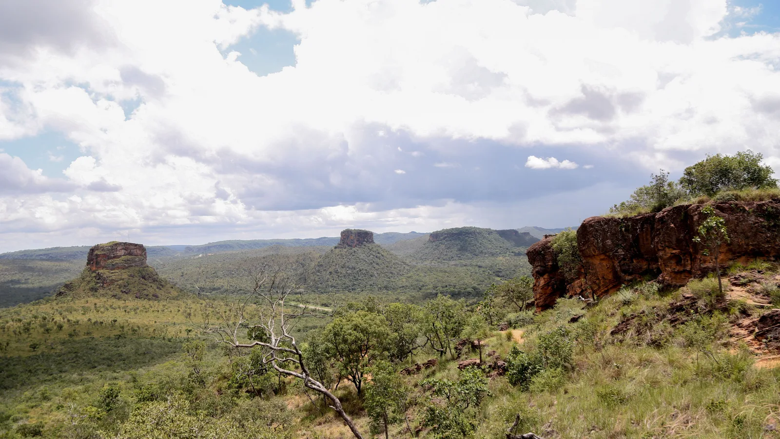
A high quartzite plateau of cerrado, canyons and waterfalls, a morning’s drive north of Brasília.

Last checked October 2026

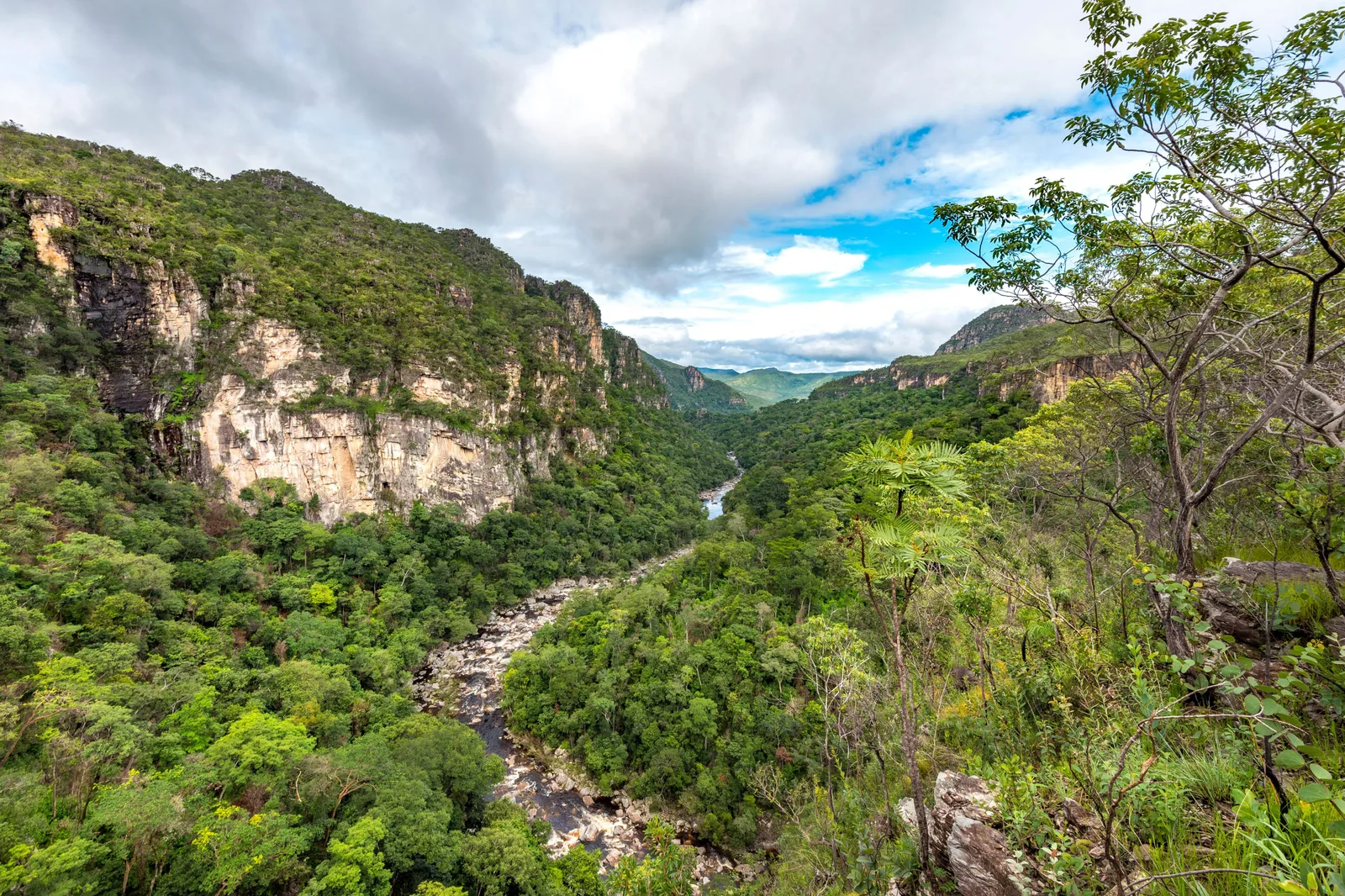
  • A deep green canyon with pale cliffs on the left and a river running along its floor toward distant hills
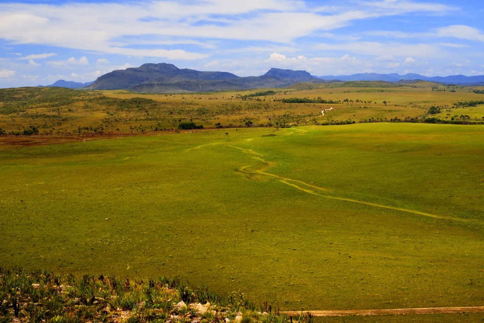
  • A wide green grassland with a faint track across it and a long, flat-topped mountain on the horizon
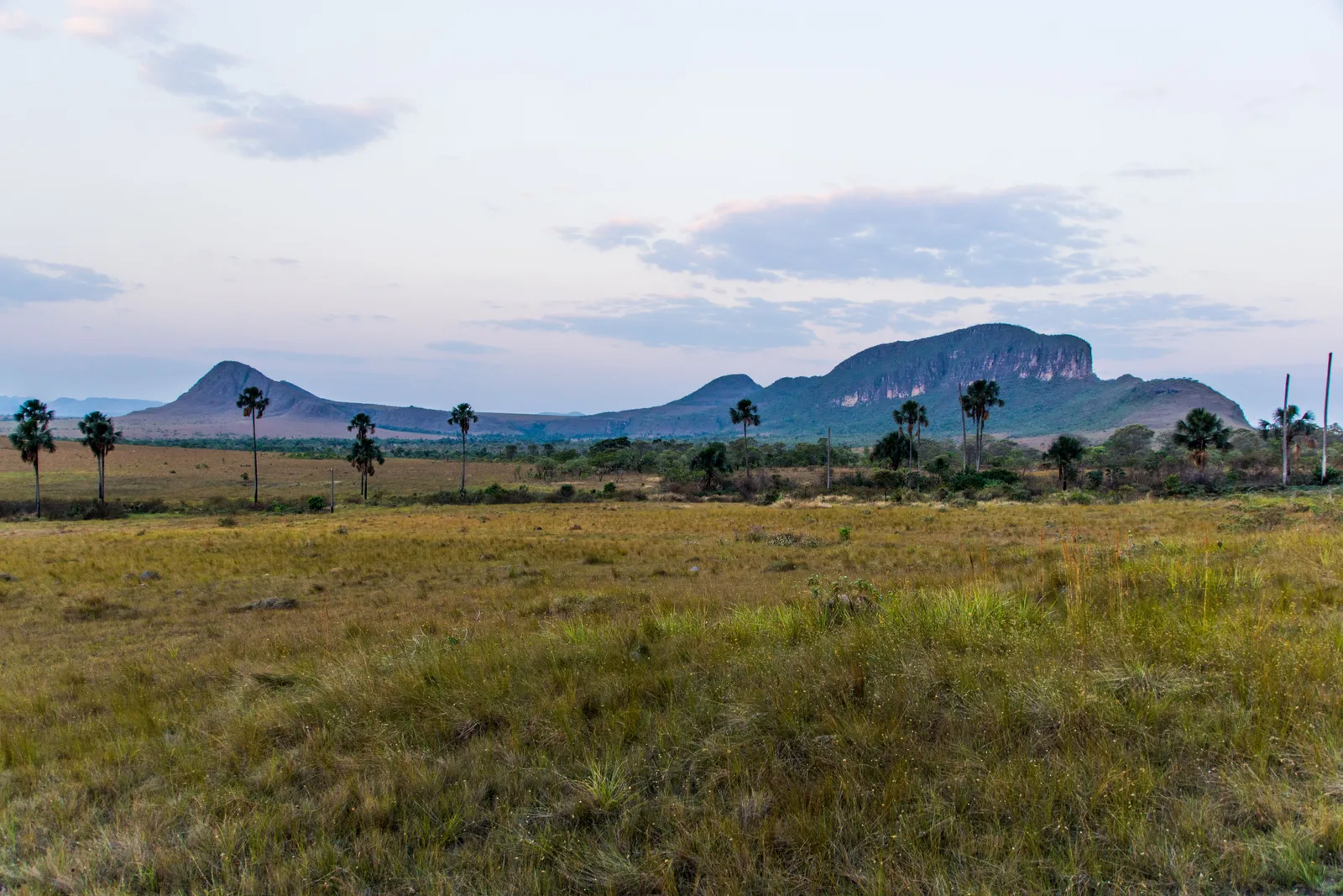
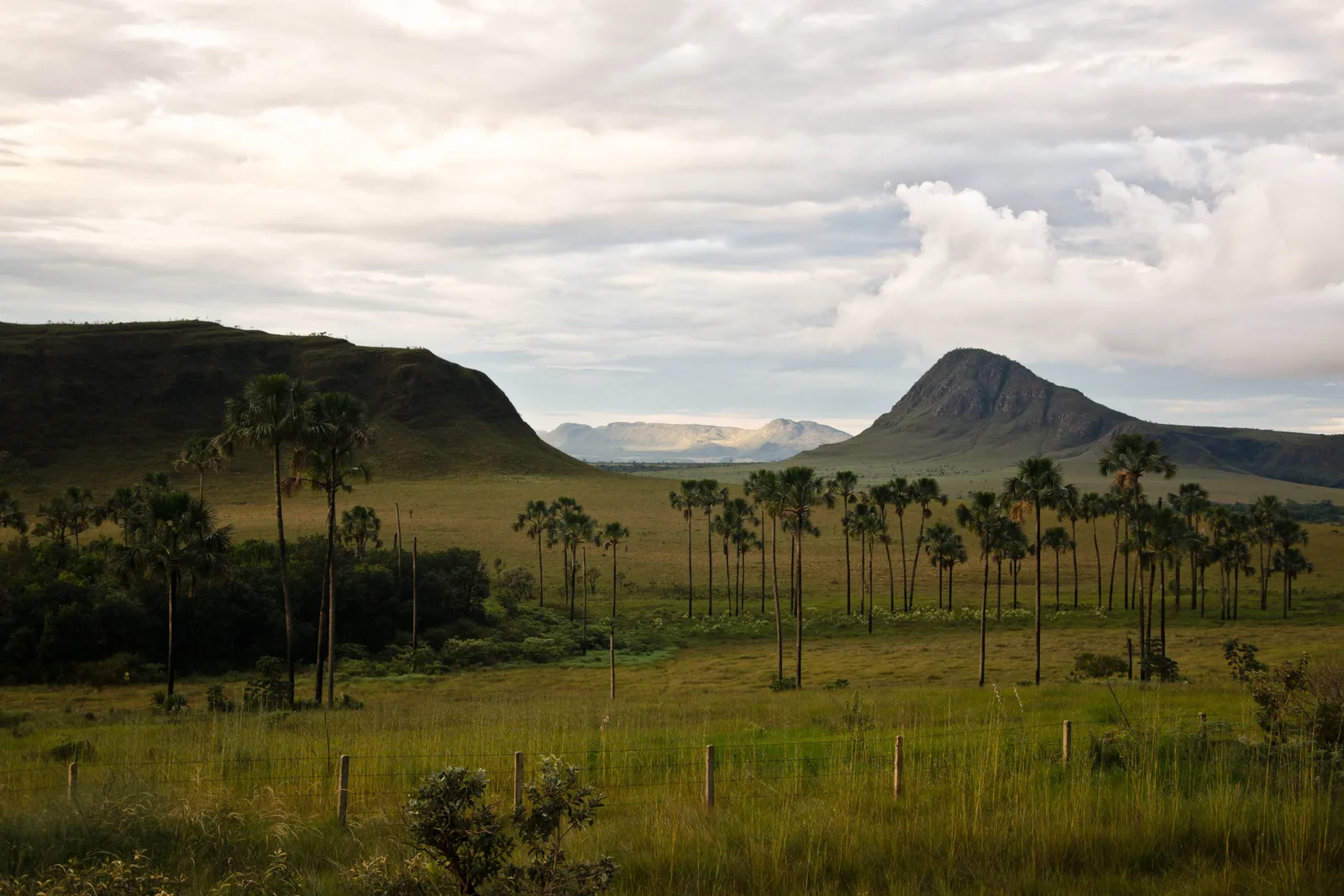
  • Dry grassland with a scattering of tall palms and a line of flat-topped hills under a pale evening sky
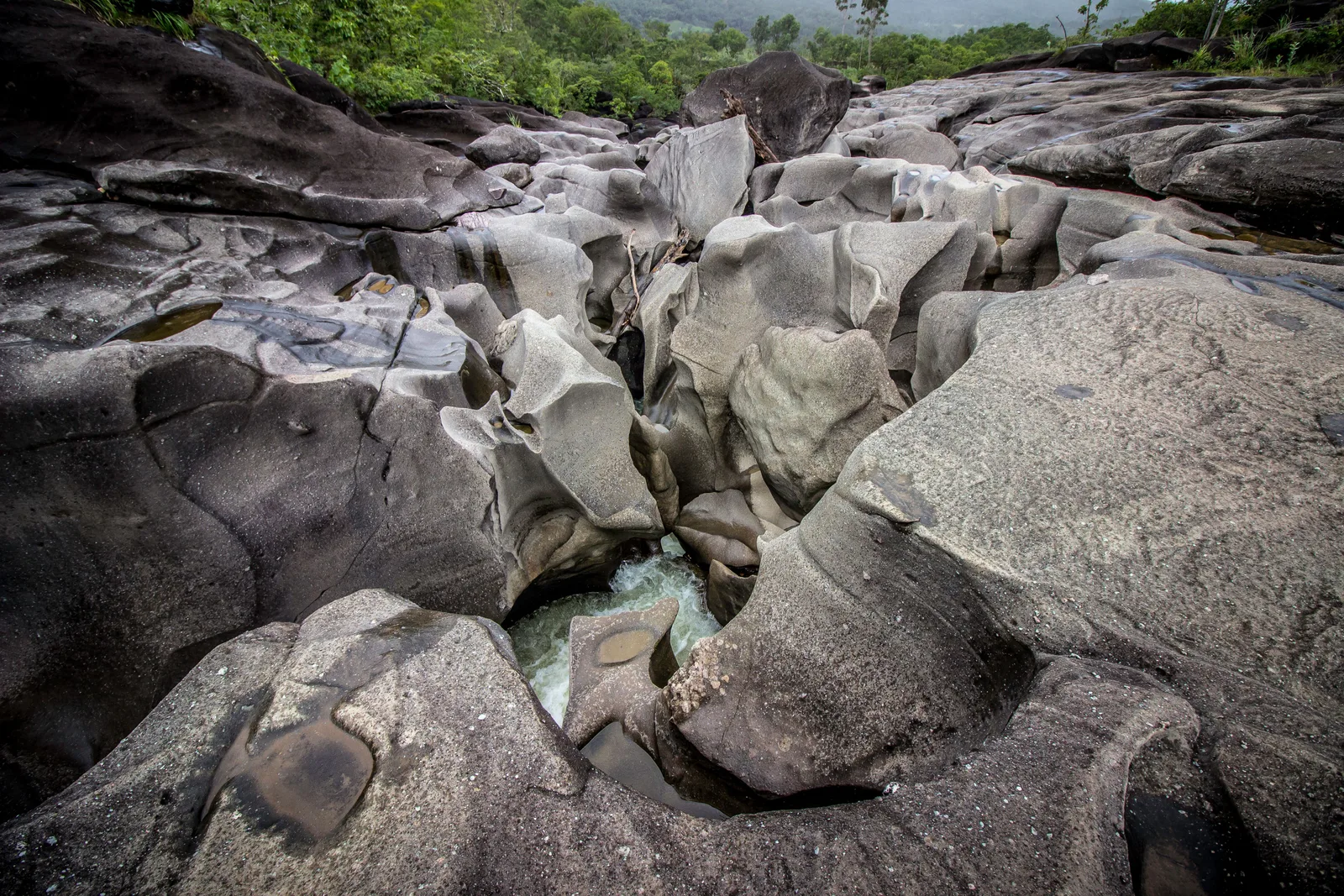
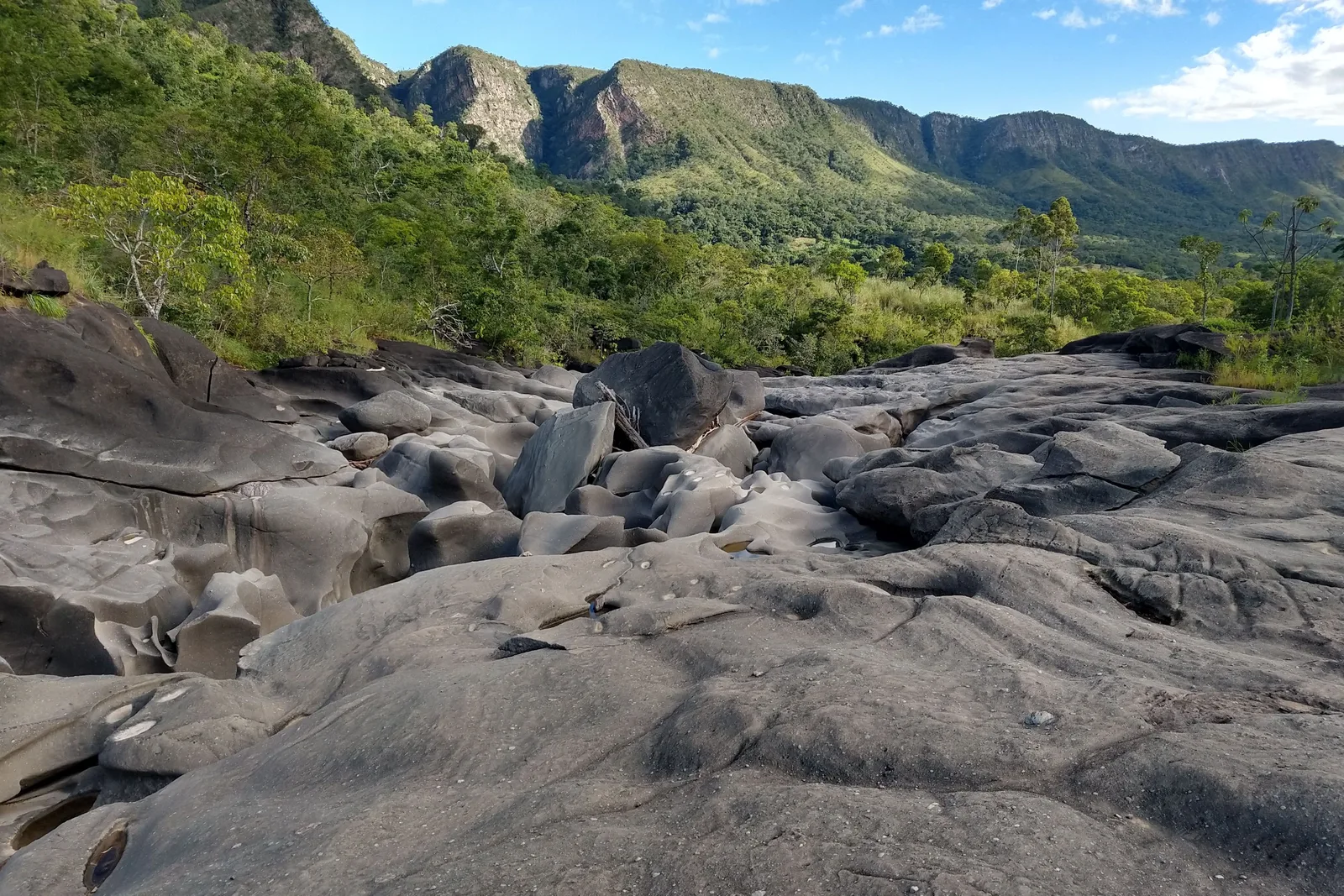
  • Gray water-carved rock in a riverbed with green trees and a long escarpment behind under a blue sky
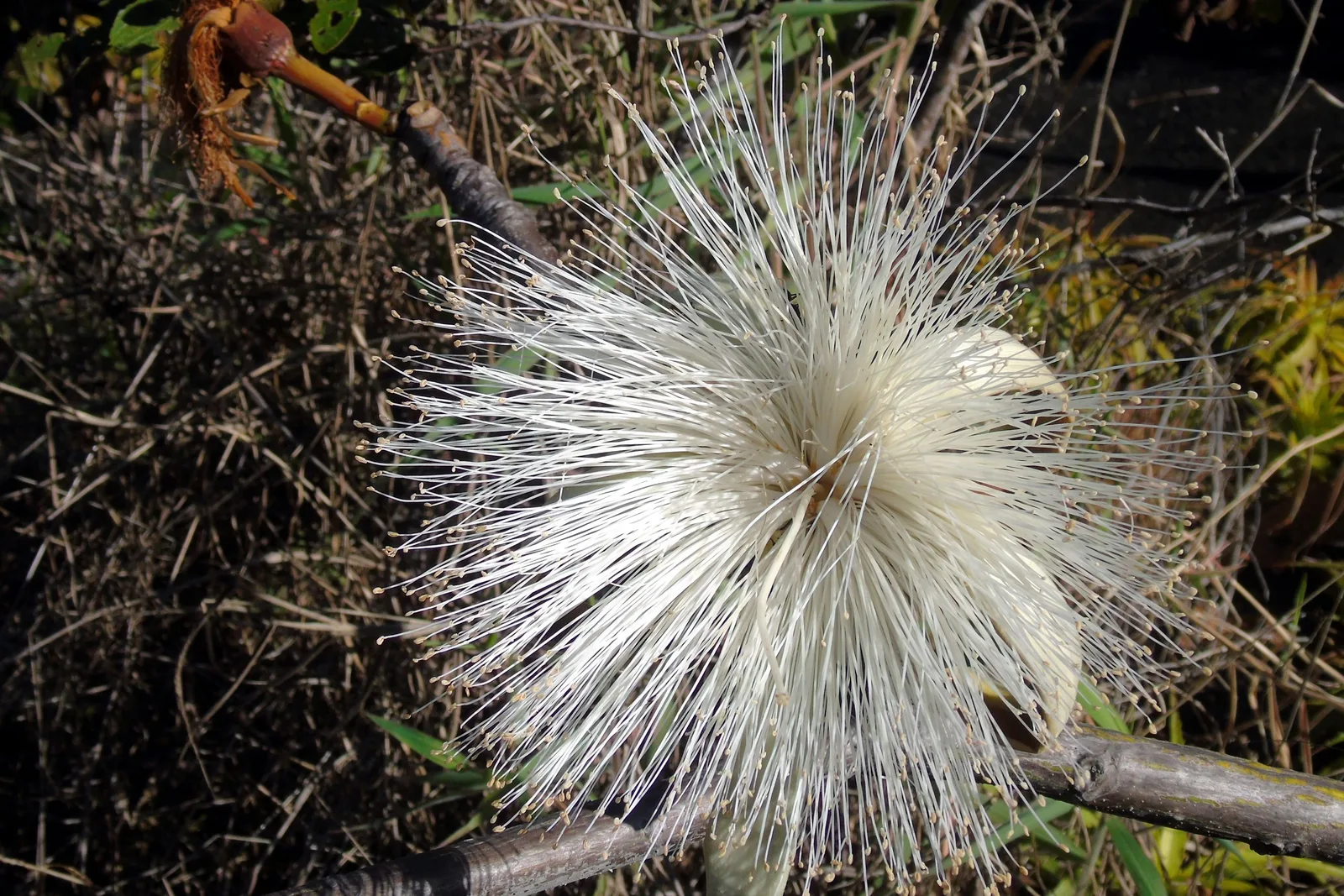
  • A white flower made of hundreds of long fine stamens, open on a bare branch above dry leaves
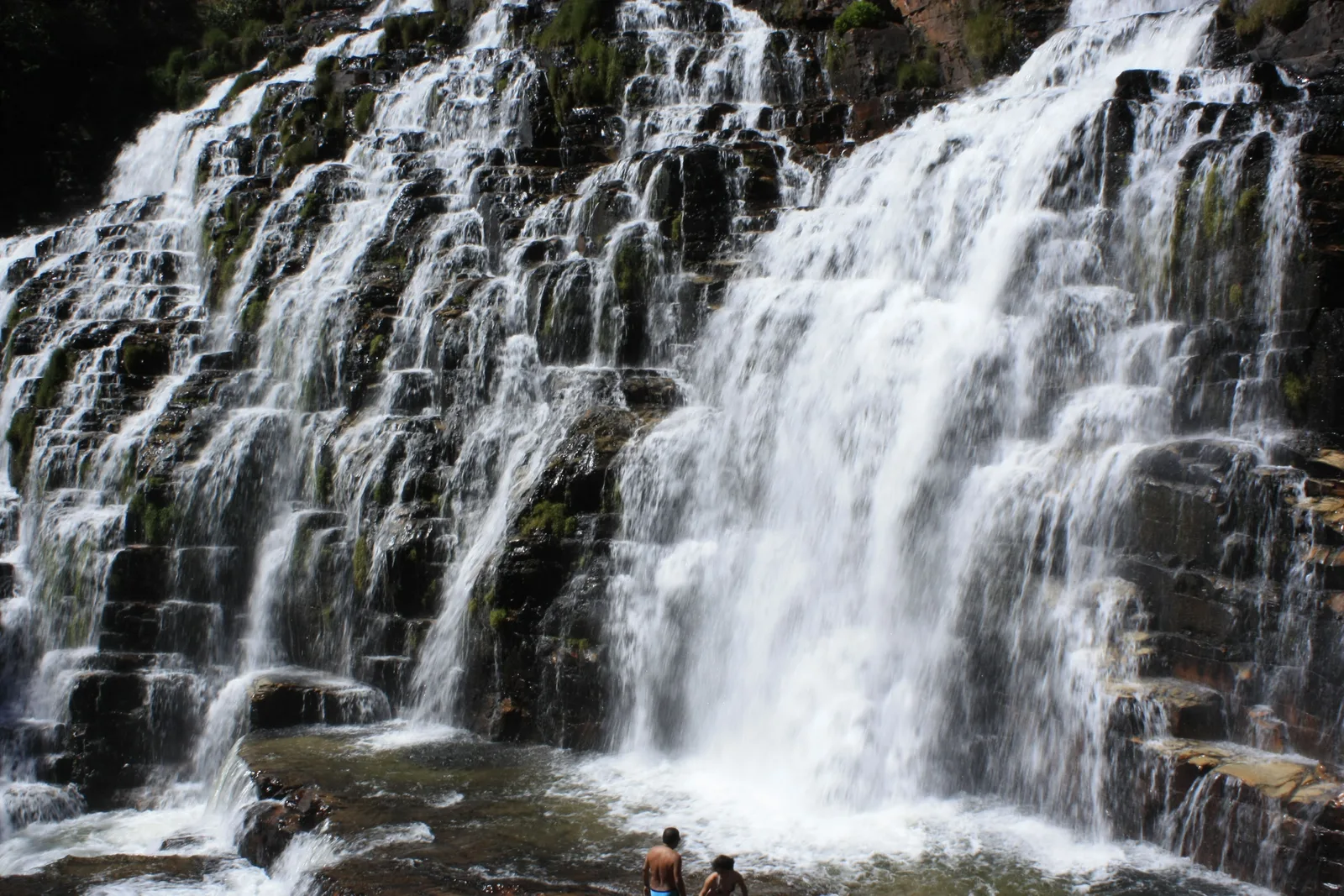
  • Water pouring over wide steps of dark layered rock, with two people standing in the shallow pool at its foot
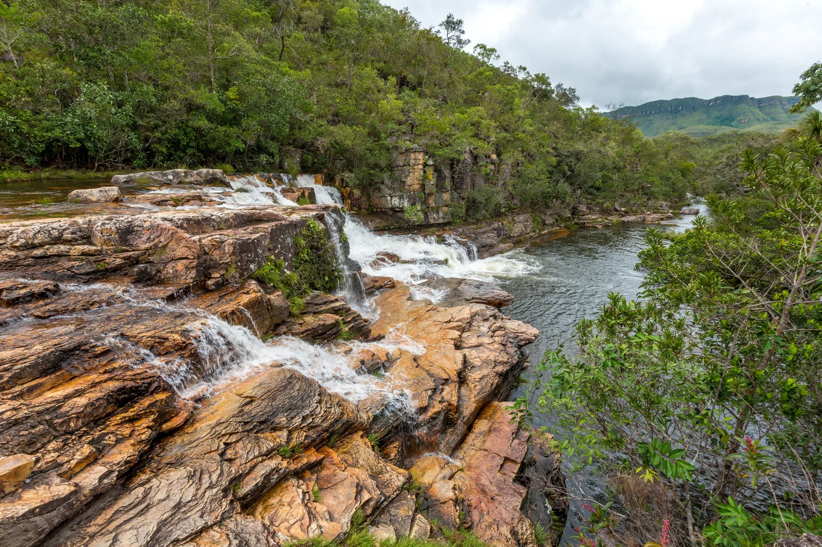
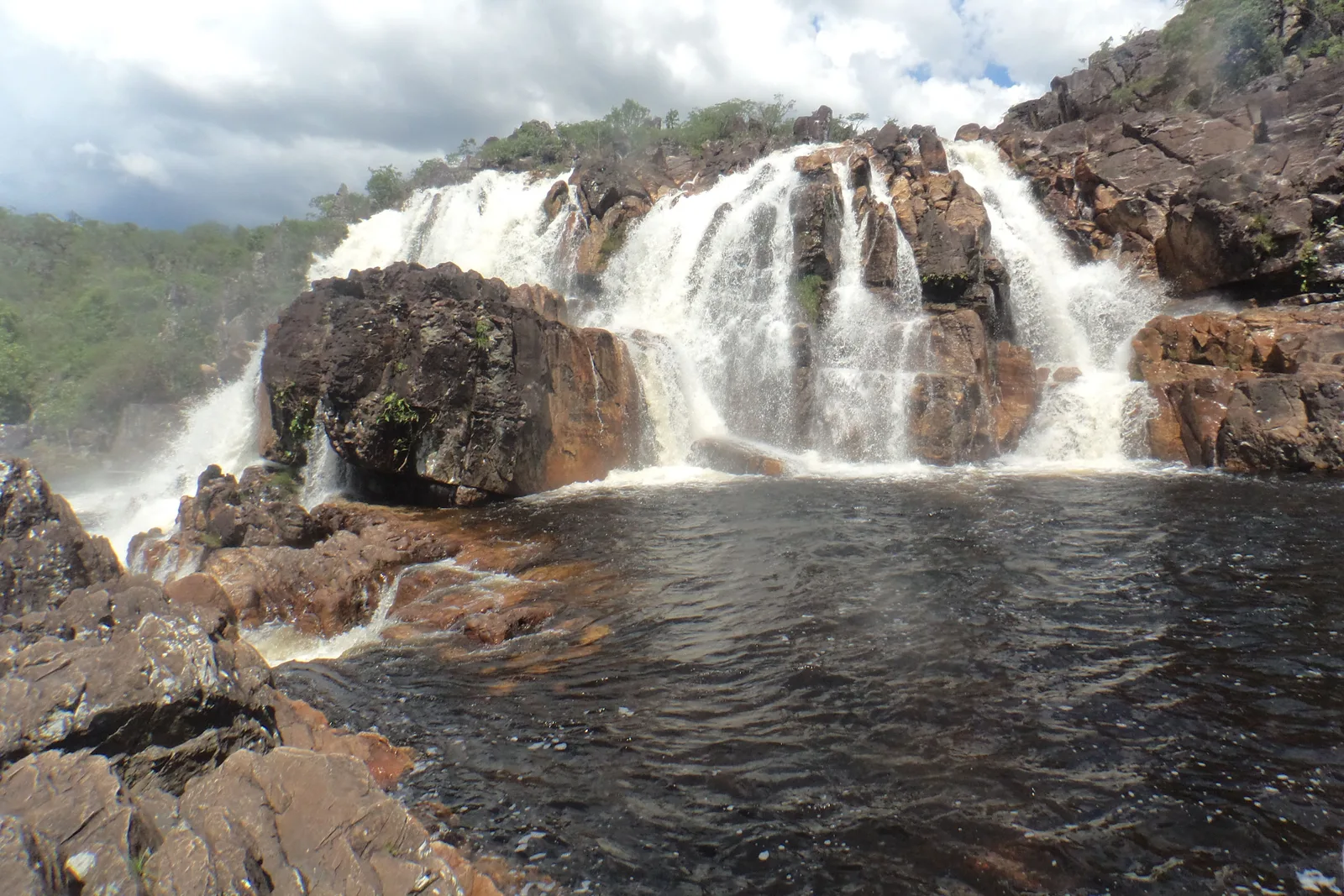
  • A waterfall spilling over a broad rock ledge into a dark pool, with cerrado on the far bank
  • A tall waterfall plunging off a pale cliff into a misty, forested canyon, seen through leaves from the viewpoint above
  • A row of tall palms on a green plain with a rounded hill and a pointed peak behind under heavy cloud
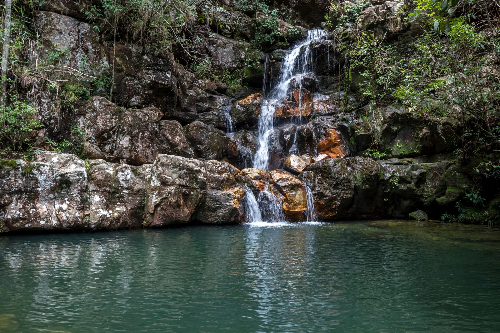
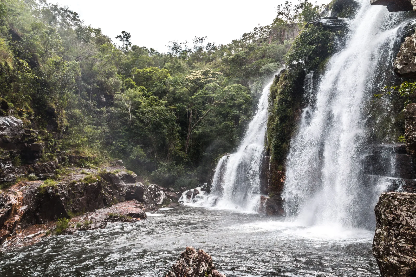
  • A waterfall dropping in several streams down a rock face into a pool surrounded by forest
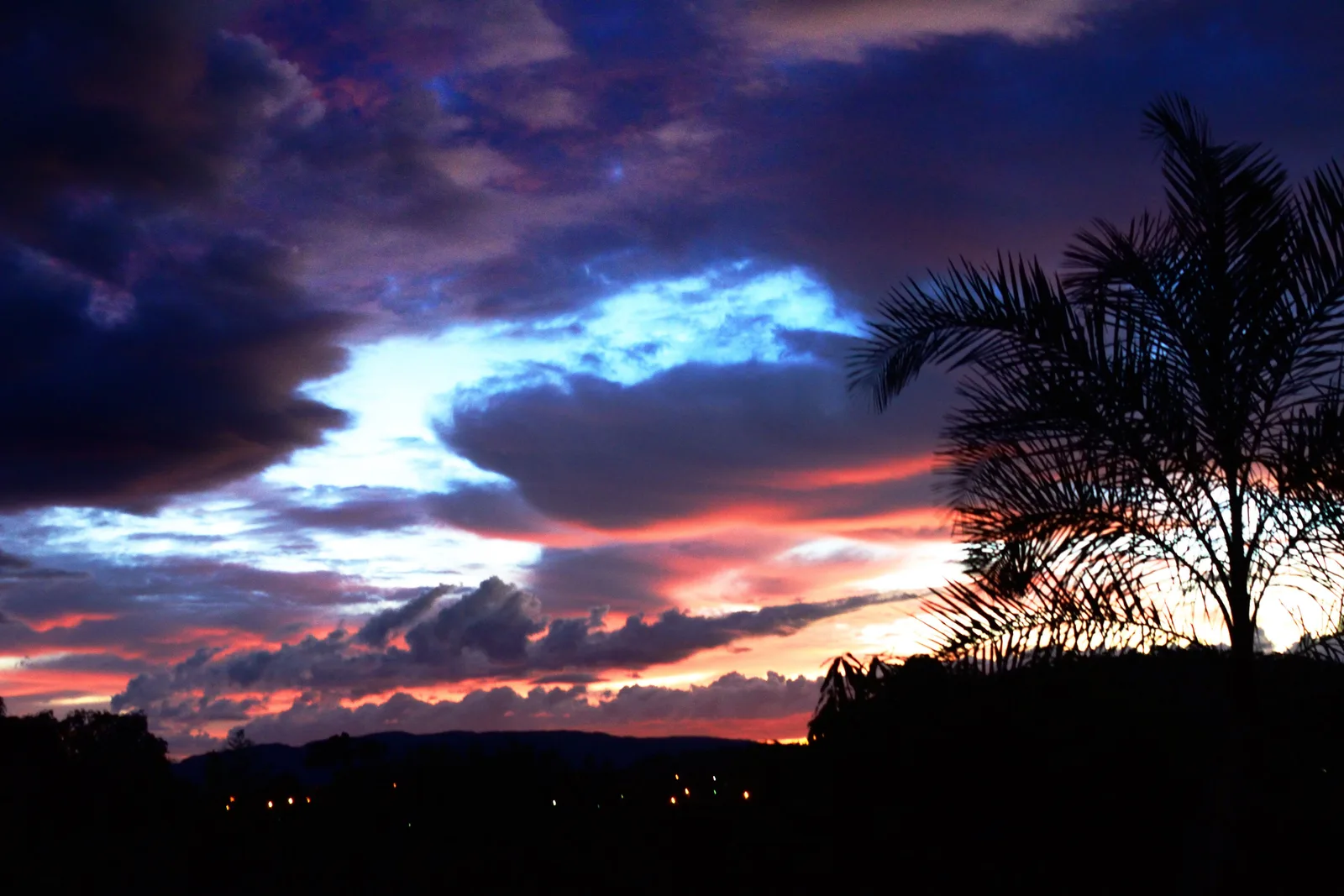
  • Dark clouds lit pink and blue above the black silhouettes of a palm and low hills near Cavalcante
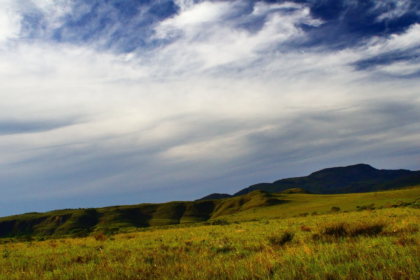
  • Streaks of white cloud over a green ridge and an open grassy slope on the plateau

Orientation

The plateau in one screen.

Everything logistical, before the trails start.

General Info

What the Chapada dos Veadeiros actually is

North of Brasília, the central Brazilian plateau rises into a block of old quartzite, cut by rivers into canyons and broken by waterfalls. Its rocks were shaped by geological events the national park dates to about 1.7 billion years ago. The cover is cerrado, the savanna of central Brazil: open grassland, twisted trees, palm-lined wetlands and gallery forest along the streams. IBGE puts the highest point in the state of Goiás, at 1,691 meters, here.

The Parque Nacional da Chapada dos Veadeiros was created on 11 January 1961, as the Parque Nacional do Tocantins, and took its present name in 1972. After decades of cuts it was enlarged in June 2017 to about 240,000 hectares, across Alto Paraíso de Goiás, Cavalcante, Nova Roma, Teresina de Goiás and São João d’Aliança. UNESCO listed it in 2001, together with Emas National Park, as the Cerrado Protected Areas World Heritage Site. It is home to the maned wolf, the giant anteater, the jaguar and the pampas deer.

Since 2019 the visitor services have been run under concession by Parquetur, which sells the tickets, and the main gate is in the village of São Jorge, 38 km by road from the center of Alto Paraíso. Much of what people come for lies outside the park on private land, the Vale da Lua above all, and to the north, around Cavalcante, is the Kalunga territory, one of the largest quilombola territories in Brazil, whose communities run their own waterfalls.

Where It Is

Northeastern Goiás, on the central plateau

Alto Paraíso de Goiás sits on the GO-118 north of Brasília, 235 km from the city’s airport. São Jorge and the park gate are 38 km west of it on the GO-239, and Cavalcante, gateway to the Kalunga territory, is 90 km north. The park spreads north and west of Alto Paraíso, between the two bases and Cavalcante.

Chapada dos Veadeiros Chapada dos Veadeiros

14.13° S, 47.51° W

See the Central-West on the interactive map

Cost

What the Chapada dos Veadeiros actually costs

The park itself is cheap. The money goes on the private waterfalls around it, each with its own gate, on a guide if you want one, and on getting around, because the sights are spread over three municipalities and a car is close to essential. Rooms in the high season, July above all, cost noticeably more than in the rest of the year.

Estimated daily budget, per person

Simple

$55 / day

A plain pousada room in São Jorge shared with someone, the bus from Brasília, the park on foot and one private waterfall a day, simple meals.

Guided

$155 / day

A good pousada, a guide with transport every day from a local agency, the gates paid, and meals out.

Comfort

$220 / day

A boutique pousada, a rental car from Brasília, a private guide on the long days and every gate paid.

Estimates, per person per day once you are on the plateau, assuming two people sharing a room; flights not included. The Guided tier is built on one Alto Paraíso agency’s published price for a guided day with transport for two. Restaurant prices could not be sourced, so the food part of every tier is an estimate.

What things cost

  • National park entry, per person $9.60 R$49
  • National park entry, half price (over-60s, students) $4.80 R$24.50
  • Park shuttle to the trailheads, round trip $15.70 R$80
  • Camping on the Sete Quedas traverse, per night $4.90 R$25
  • Vale da Lua entry $9.80 R$50
  • Almécegas I and II plus São Bento $14–16 R$70–80
  • Cachoeira Santa Bárbara entry, Kalunga territory, online in advance or at the gate $13–15 R$65–75
  • Kalunga guide at Santa Bárbara, per group of up to 6 $39 R$200
  • Local guide for a day, up to 3 people, in your car $71 R$360
  • Pousada double room in São Jorge, per night $39–68 R$200–345
  • Pousada double room in Alto Paraíso, per night $39–97 R$200–494
  • Economy rental car at Brasília airport, per day $15 R$76.95
  • Bus, Brasília to Alto Paraíso, one way $18–31 R$89.99–158.99

The park is cheap and the waterfalls around it are not. Almost every attraction outside the park is on private land and charges its own entry, usually in cash or by Pix, Brazil’s instant bank transfer, so carry cash. Prices on the town hall’s tourism portal can lag a year or more behind what the gate charges.

July costs more. Three Alto Paraíso pousadas that charged $46–97 (R$236–494) for a November night on Booking.com asked $59–157 (R$300–802) for a night in July 2027, and fewer places had opened their dates.

A guide is optional for the park’s day trails and the Sete Quedas traverse, and compulsory only for a night visit inside the park, at the Kalunga waterfalls and for sunset at the Mirante da Janela. Guides who ride in your car charge by the group, so a guided day costs less per head with three people than with two.

Checked October 2026 and converted at R$5.10 to the dollar. Gate prices outside the park change from season to season, so treat them as the shape of a budget rather than a quote.

Safety

The risks here are water, distance and dry-season fire

8 /10

Our rating: small, quiet towns, and a landscape where the hazards are flash floods, long trails and the dry season.

Alto Paraíso and São Jorge are small, quiet places. The Ministry of Health counts between none and five homicides a year among Alto Paraíso’s residents from 2018 to 2025, about 21 per 100,000 people over 2020–2024, close to the averages for Goiás and for Brazil; with numbers that small, one bad year moves the rate a long way. For a visitor, what goes wrong here is mostly the landscape: rivers that rise without warning, long trails in the sun, and roads that turn to dirt.

  • Get out of the water when it rains upstream. The park’s own visitor rules warn of trombas d’água, sudden flash floods, and tell you to leave the water at once. In March 2024 a visitor drowned at the Vale da Lua, swept by the current against the rocks. The park stays open in the rain, so the judgment is yours: if the water turns brown or rises, get out.
  • Know the trail before you start. The Saltos trail in the park is about 11 km round trip and takes six to seven hours, the park rates it moderate to hard, and you must be through the gate on foot by 12:00pm. Carry water, food and a headlamp, and tell your pousada where you are going. The park’s shuttle cuts the walking on the main trail if you need it.
  • Fire is part of the dry season. In October 2017 a fire burned more than a quarter of the park: ICMBio’s own fire plan gives 27 percent of its area burned that year, and the park chief told the BBC 64,000 hectares. INPE’s satellites record most fire detections in Alto Paraíso and Cavalcante in September and October. The park was closed during the 2017 fire; check before you go.
  • Know where care is. Alto Paraíso’s Hospital Municipal Gumercindo Barbosa is open 24 hours, with urgent care but no surgery. São Jorge has only a daytime health post, and Cavalcante’s municipal hospital is open 24 hours with an operating room. SAMU ambulances, on 192, are based in Alto Paraíso and Cavalcante. There is no intensive care on the plateau: the nearest ICUs are at the state hospital in Formosa, about three hours by road from Alto Paraíso, and in Brasília. The park has no rescue service of its own; the fire brigade is 193. Buy travel insurance that covers evacuation.
  • The CDC recommends yellow fever vaccination for Goiás and for the Federal District, including Brasília. It lists Goiás among the areas with rare, sporadic malaria in rural and forested places, where it recommends no antimalarial pills, only avoiding bites. Dengue is present too, so use a repellent with at least 20% DEET. It also advises avoiding swimming in fresh, unchlorinated water anywhere in Brazil because of schistosomiasis, a parasitic infection; weigh that with a travel clinic.
  • Inside the park, everyone signs a risk waiver. Pets, campfires, speakers and musical instruments are not allowed; drones are, if you keep them clear of other visitors, vegetation and cliffs. There are no trash bins on the trails, so pack out everything you bring in.

Getting There

Fly to Brasília, then drive north

There is no airport with scheduled flights on the plateau. Fly to Brasília and finish by road.

  • Brasília (BSB) has nonstop flights from the United States. In ANAC’s November 2026 schedule, Gol flies daily from Orlando and six days a week from Miami, landing between 6:55am and 7:20am, and adds more flights in July. TAP flies daily from Lisbon and Copa from Panama.
  • Otherwise, connect in São Paulo (Congonhas, Guarulhos or Campinas), Rio or another Brazilian hub. Brasília takes about 170 domestic arrivals a day, and on a sample November weekday the first daytime flights from São Paulo and Rio landed between 7:15am and 7:50am, so a morning arrival leaves the whole day for the drive.
  • From the airport it is 235 km to Alto Paraíso, about 3 hours 50 minutes, on the BR-020, BR-010 and GO-118, which the town hall says is paved all the way. São Jorge is 38 km farther on the GO-239. Localiza and Movida both rent cars at the airport. The CDC advises against driving at night in rural Brazil, so plan to arrive in daylight.
  • Real Expresso runs buses from Brasília’s interstate bus station, not the airport, to Alto Paraíso, mostly in the evening, in about 4 hours 35 minutes to 5 hours 15 minutes, from $18 (R$89.99) online. Schedules change from date to date. There is no bus to São Jorge, and the Cavalcante bus ran only on Fridays, arriving after 1:00am.
  • There is no airline service on the plateau. Alto Paraíso’s airfield is cleared for daytime visual flights only, and has no scheduled flights.

Getting Around

A car, or a guide with one

The sights are spread along two roads out of Alto Paraíso, west to São Jorge and north to Cavalcante, with dirt tracks off both. A car of your own, or a local guide who drives, is close to essential.

  • Inside the park you walk. The trails start at the São Jorge visitor center, and an internal shuttle, $15.70 (R$80) round trip ($6.90 out, $8.80 back), runs to the trailheads every hour from 9:00am, with the last return at 5:30pm. After 12:00pm it is sold only as a round trip. On foot, you must enter between 8:00am and 12:00pm, and everyone is out by 6:00pm.
  • São Jorge to Alto Paraíso is 38 km on the paved GO-239, and Alto Paraíso to Cavalcante 90 km, 65 km north on the GO-118 and then 23 km west on the GO-241, about an hour and a half (OSRM routing on OpenStreetMap). The Vale da Lua is 6 km from São Jorge, the last 4 km on dirt; Almécegas is 8 km from Alto Paraíso on the São Jorge road.
  • Some gates are far down dirt roads. The Catarata dos Couros is about 53 km from Alto Paraíso, 35 km of it dirt, and the regional tourism association recommends a high or 4x4 vehicle. The Kalunga community at Santa Bárbara is 27 km of dirt from Cavalcante.
  • Local agencies in Alto Paraíso and São Jorge sell guided days with transport. One publishes $176 (R$900) for two people for a standard day, guide and car included, gates and food extra.
  • Download offline maps before you leave Alto Paraíso. The town hall warns that the roads to the waterfalls are almost always dirt and often in poor condition.

Five places

Five places that explain the rest.

The national park’s two main trails, the carved river valley just outside it, the canyon viewpoint across from the park’s two great falls, and the blue pool in the Kalunga territory.

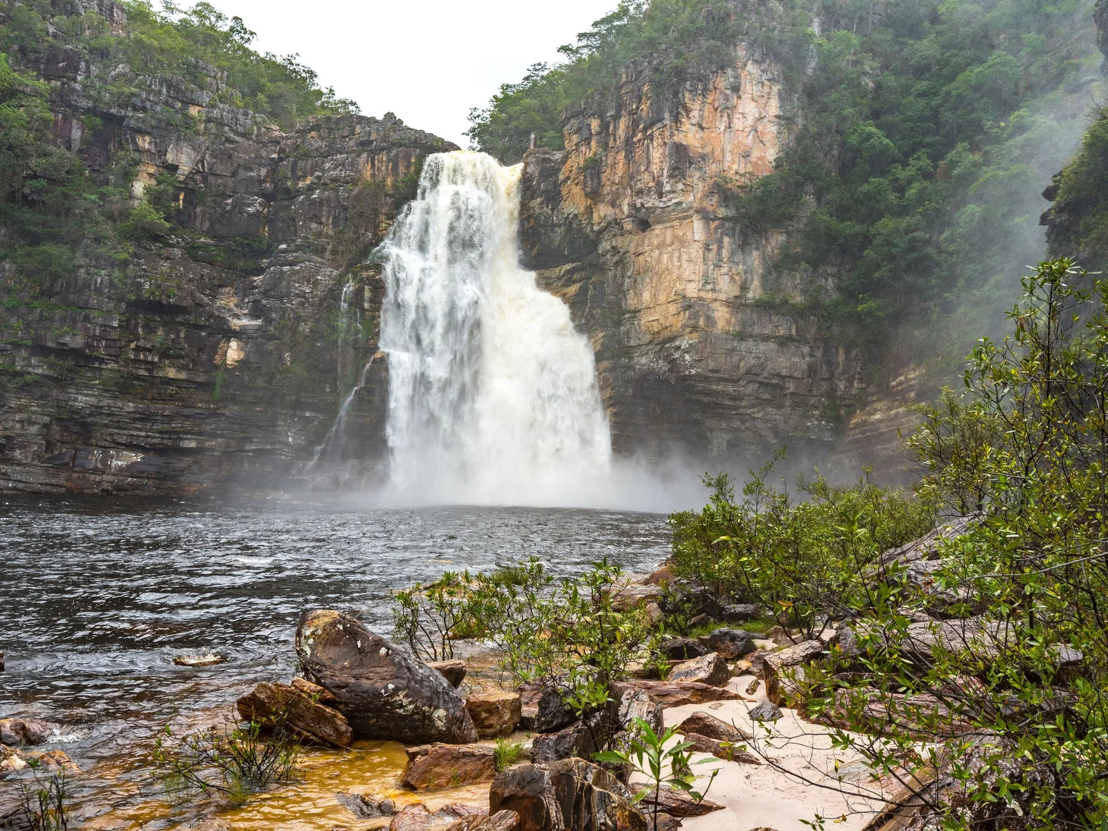
A broad waterfall pouring between tall pale canyon walls into a wide dark pool, with spray drifting over a sandy bank and boulders in front 01

The park’s main trail

Saltos do Rio Preto

Round trip
About 11 km
Time
6–7 hours
Daily cap
450 on foot

The Rio Preto drops off the plateau in two great falls. The upper one, 120 meters, is seen from a viewpoint above the canyon; the lower, the 80-meter Cachoeira do Garimpão, falls into a wide pool you can swim in. The same trail continues to the Corredeiras, a run of rapids and pools on the river above.

The park rates the full loop moderate to hard: about 11 km round trip and six to seven hours on foot. A shuttle from the visitor center shortens it. You can enter on foot until 12:00pm, or ride until 3:00pm, and everyone is out by 6:00pm. No guide is required.

The Carrossel pool on the same route opens only in the dry season, when the river is low enough to make it safe.
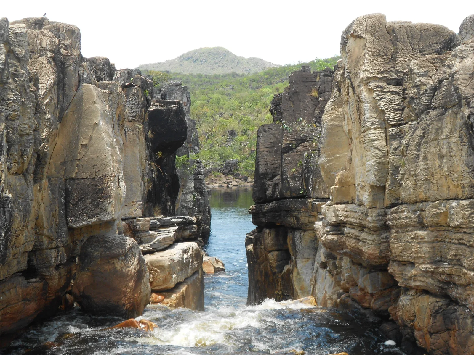
A narrow gap between two tall walls of pale layered rock, with river water rushing through it and a green hill beyond 02

The park’s second trail

Cânion II and Cachoeira das Cariocas

Round trip
About 11 km
Time
4–5 hours
Daily cap
300 visitors

Downstream, the Rio Preto squeezes through a slot of layered gray rock, the Cânion II, and opens into a long pool for swimming. Half an hour’s walk away, the Cachoeira das Cariocas falls in white sheets over a broad stepped ledge.

The park calls this trail moderate, at about 11 km round trip and four to five hours. The upper pool at Cariocas, and the Cânion I farther along, open only in the dry season.

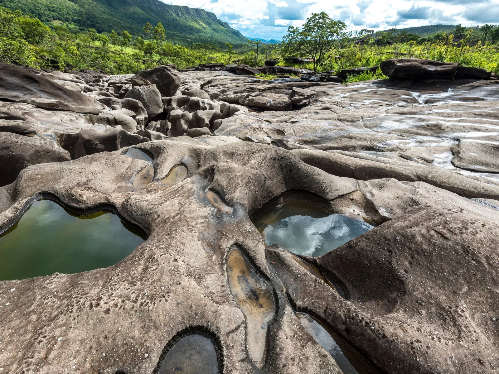
Smooth gray rock riddled with round water-filled basins in the foreground, a river channel behind and wooded hills under a cloudy sky 03

Outside the park, near São Jorge

Vale da Lua

From São Jorge
6 km
Entry
$9.80 (R$50)
Open
8:15am–4:00pm

The Rio São Miguel has worn its bed into a gray moonscape of rounded basins, potholes and narrow chutes, and the water runs clear green through the gaps. The name means Valley of the Moon. It is on a private farm outside the park, 6 km from São Jorge, the last 4 km on dirt.

Entry has been $9.80 (R$50) since February 2025, half price for over-60s and free under 7, and the press gives the hours as 8:15am to 4:00pm. There are toilets, a snack bar and lifeguards. The current is the danger here: a visitor drowned in March 2024, and the town hall asks people to respect the posted limits.

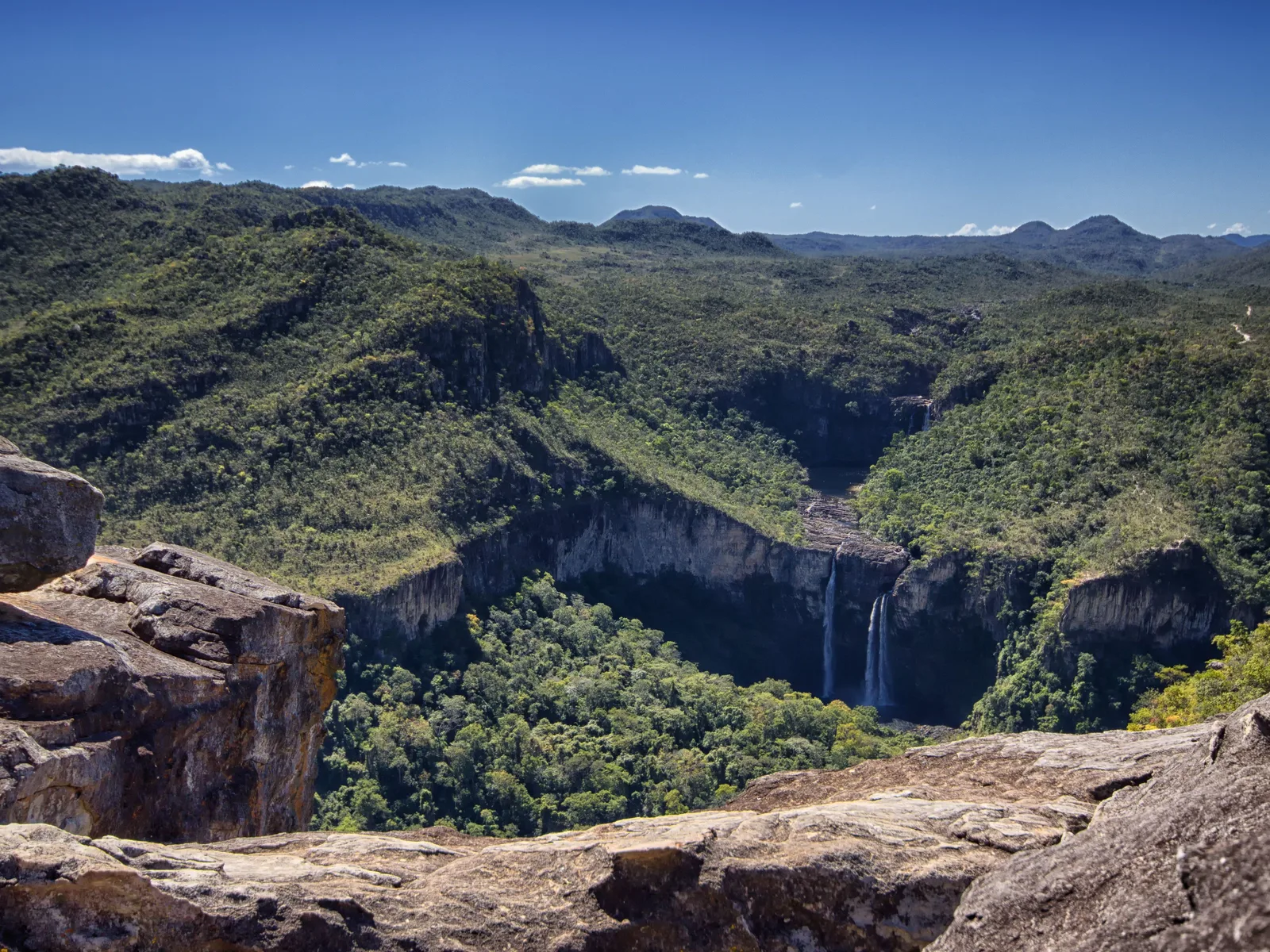
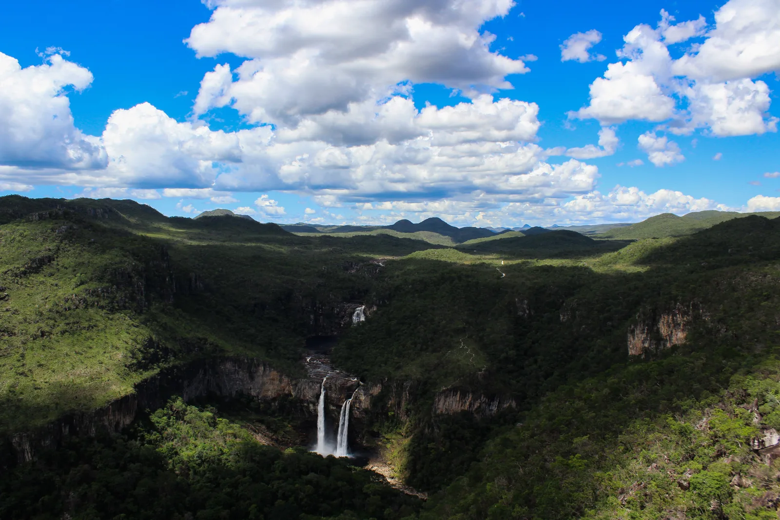
Boulders on a cliff edge in the foreground and, across a deep wooded canyon, two waterfalls dropping off a pale rock wall 04

The view over the falls

Mirante da Janela

From São Jorge
5 km
Trail
4 km from parking
Entry
$8–10 (R$40–50)

A rock window high on the far side of the Rio Preto canyon, looking straight across at both of the great falls. The trail starts 5 km from São Jorge and climbs 4 km from the parking area.

Entry is $8 to $10 (R$40 to R$50); the town hall and an agency quote different figures. The Cachoeira do Abismo on the same trail runs only from October to early April. Going up for sunset, you must go with an accredited guide.

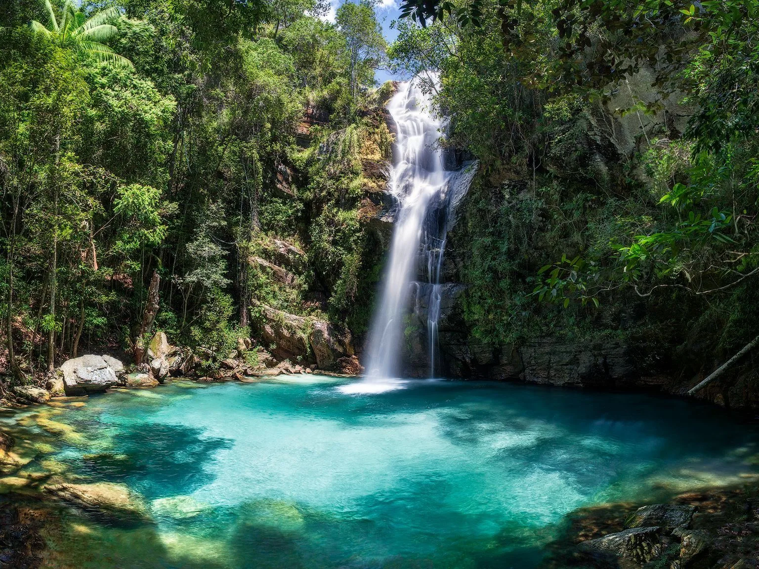
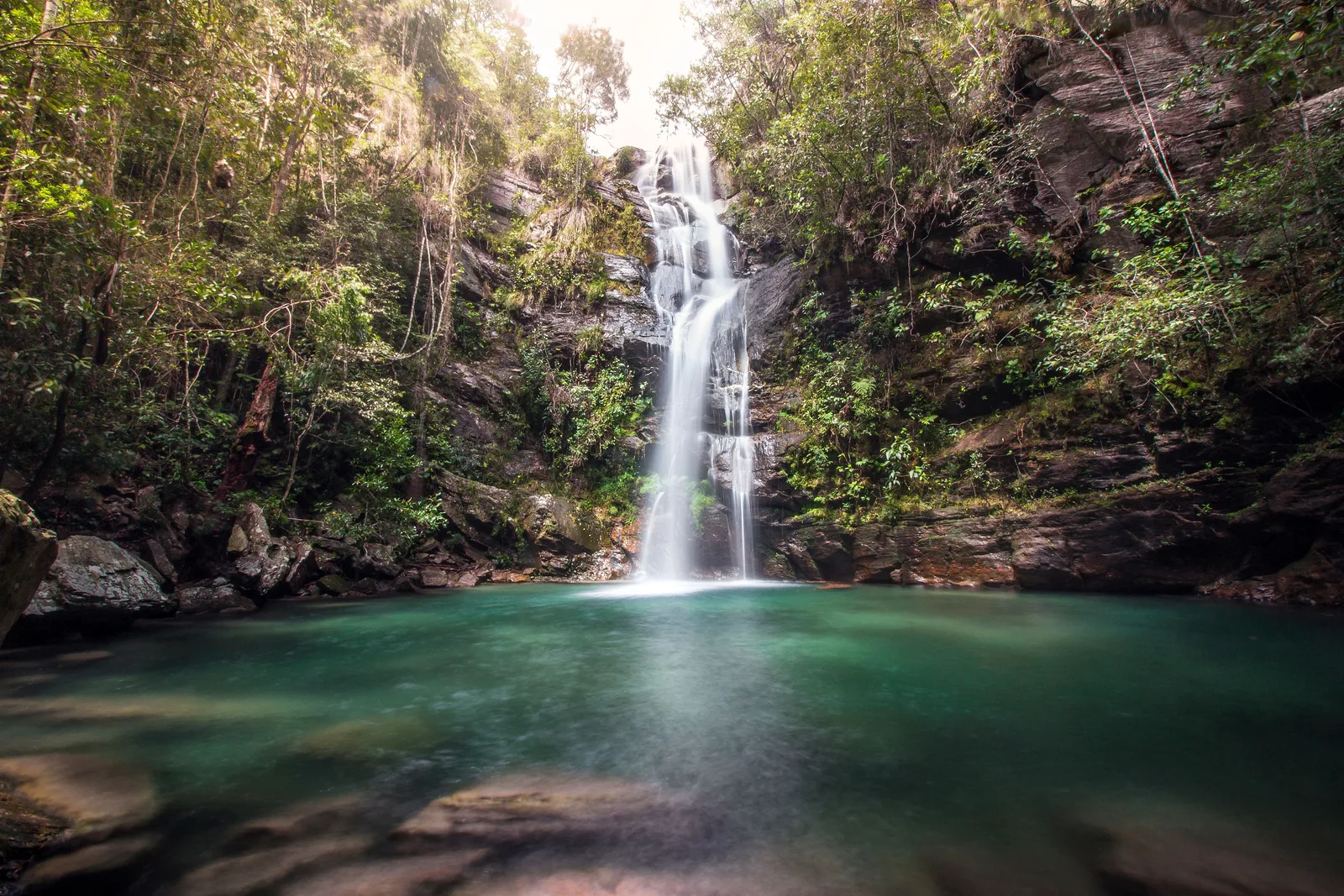
A slender waterfall falling down a dark wooded rock face into a round pool of bright turquoise water, with tree trunks framing the left side 05

In the Kalunga territory

Cachoeira Santa Bárbara

From Cavalcante
27 km of dirt
Entry
$13–15 (R$65–75)
Daily cap
300 visitors

A thin waterfall, about 27 meters, dropping into a pool of startling blue in the forest. It is in the Kalunga community of Engenho II, north of Cavalcante, and the Kalunga association, AKCE, runs it and sells the tickets.

A Kalunga guide is compulsory, $39 (R$200) for a group of up to six, on top of the entry: $13 (R$65) booked online in advance, $15 (R$75) at the gate. Numbers are capped at 300 a day, and the site closes on the community’s festival dates. The community’s own transport, $6 (R$30) a head round trip, covers the first 10 km from the village, and a 3.5 km trail does the rest. Without it, the whole way is on foot.

What to actually do

Four kinds of day.

Most days here are a long walk to a waterfall and a swim at the end of it, inside the park or at one of the private gates around it. Around them sit the open plateau and its viewpoints, and two small towns with a reputation all their own. Pick a shape, then scroll sideways through it.

Park trails

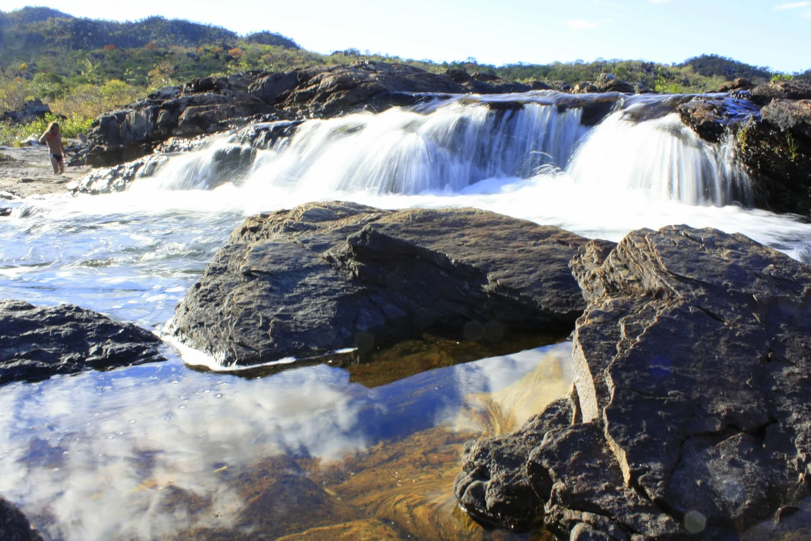
  • Water spilling in white sheets over a dark rock ledge, with a still pool in front reflecting the sky and clouds

    National park · half day

    Swimming at the Corredeiras

    Above the great falls, the Rio Preto runs over ledges and through pools that you can swim in. The park rates the walk easy, about 6.5 km round trip in its visitor leaflet, and the shuttle runs to it until 4:00pm, so it works as a short day or the end of a long one.

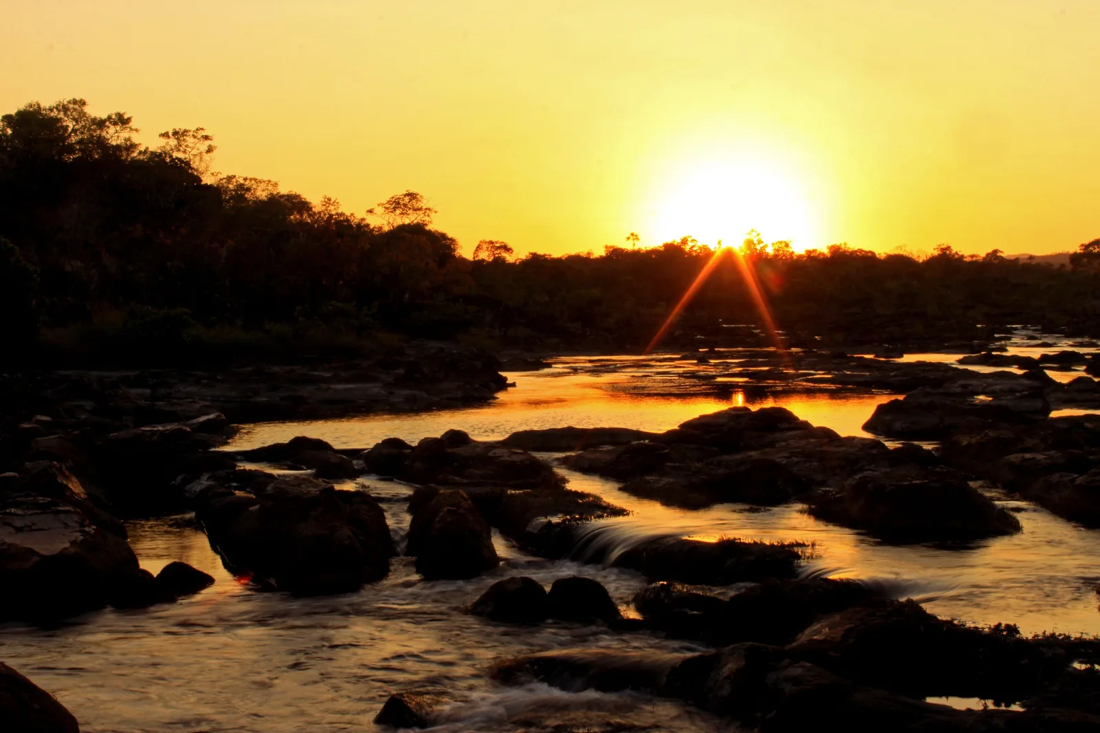
  • The sun rising over a dark tree line, its light reflected in pools of water among black rocks in a riverbed

    National park · 1–3 days

    The Sete Quedas traverse

    The park’s long walk: about 23.5 km across the plateau over one to three days, camping at Boa Sorte or Sete Quedas for $4.90 (R$25) a night, booked ahead, with 40 places a night at Sete Quedas. It opens only in the dry season, generally June to October or November, on dates the park sets each year. A guide is optional.

Waterfalls outside the park

  • Water running over layered orange rock into a river, with forested slopes and blue hills behind

    Alto Paraíso · half day

    Almécegas and São Bento

    Three waterfalls on the Fazenda São Bento, 8 km from Alto Paraíso on the São Jorge road. Almécegas I falls about 45 meters; Almécegas II and São Bento are lower and easier to swim at. A ticket for all three is $14 to $16 (R$70 to R$80); São Bento alone is less.

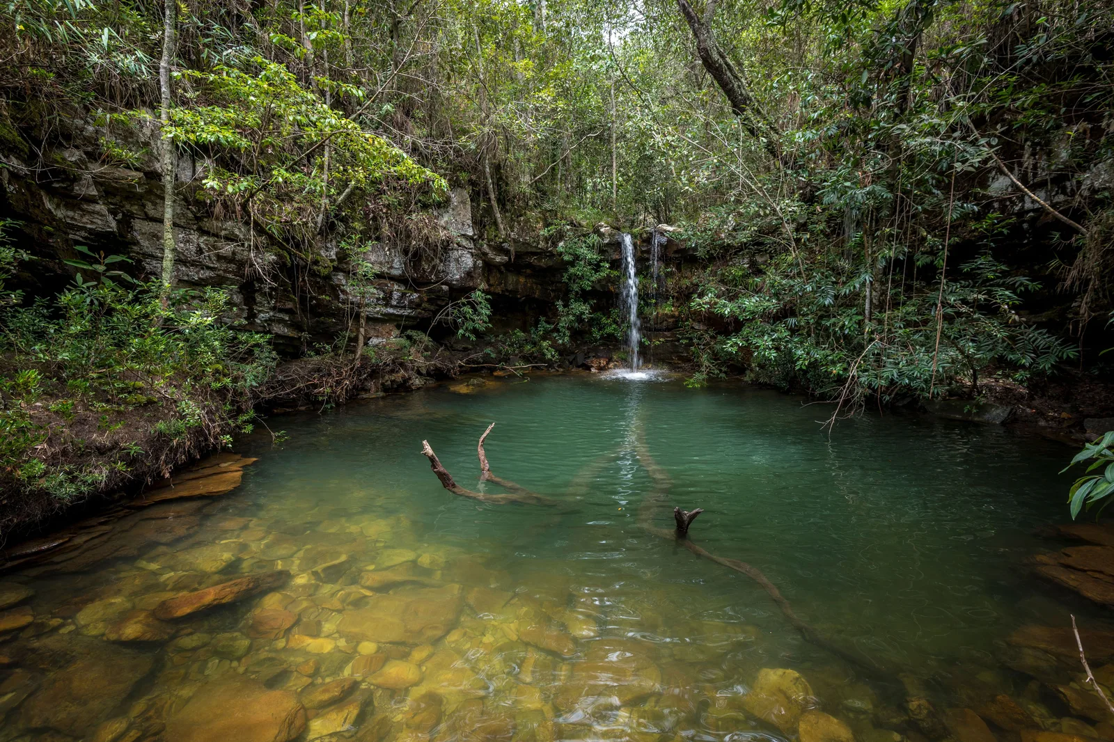
  • A thin waterfall falling into a still green pool in a shaded forest gorge, with branches lying in the clear water

    Alto Paraíso · 2–3 hours

    The pools at Loquinhas

    A string of small falls and green pools in the forest 4.4 km from the center of Alto Paraíso, joined by 2.2 km of trail. Entry is $10 to $14 (R$50 to R$70), depending on whether you believe the town hall or a local agency. Close enough to do on an arrival or departure day.

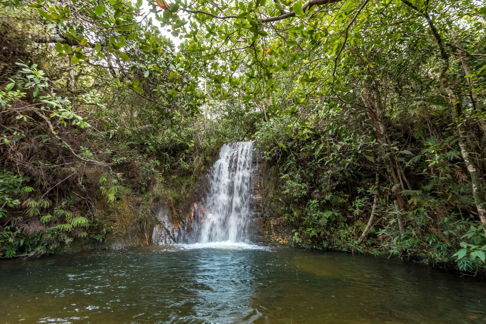
  • A small waterfall pouring off a rock lip into a dark round pool, surrounded by dense green forest

    Alto Paraíso · half day

    Cachoeira dos Cristais

    Nine small falls along a 3 km trail, 11 km out of Alto Paraíso on the Cavalcante road, the last 3 km on dirt. Entry is $6 to $8 (R$30 to R$40) and the gate opens from 8:00am to 5:00pm. A gentle choice for a hot afternoon.

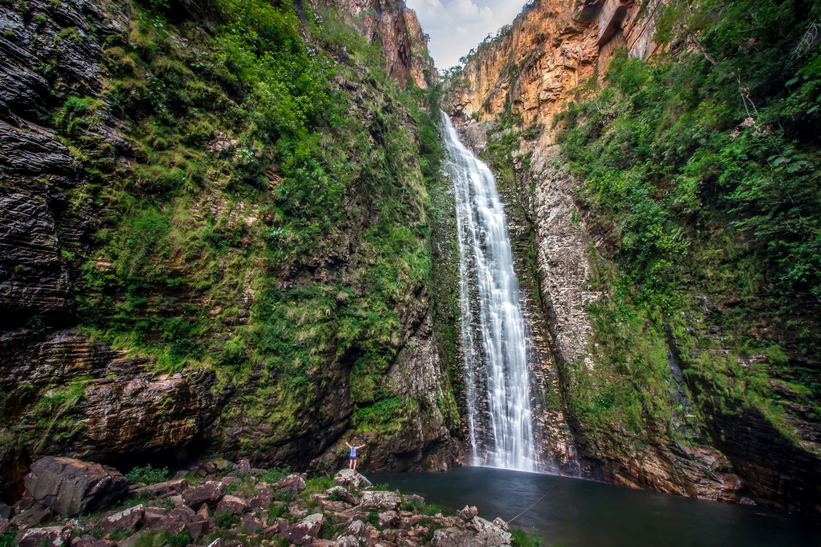
  • A tall ribbon of water falling down a narrow gorge between mossy dark rock walls into a small pool

    São Jorge side · full day

    The trail to Cachoeira do Segredo

    A tall, thin fall at the end of a narrow gorge, reached by a 7 km round-trip walk. Entry is $12 (R$60), and the gate lets people in only from 8:00am to 1:00pm, so start early. The town hall gives the fall as 130 meters.

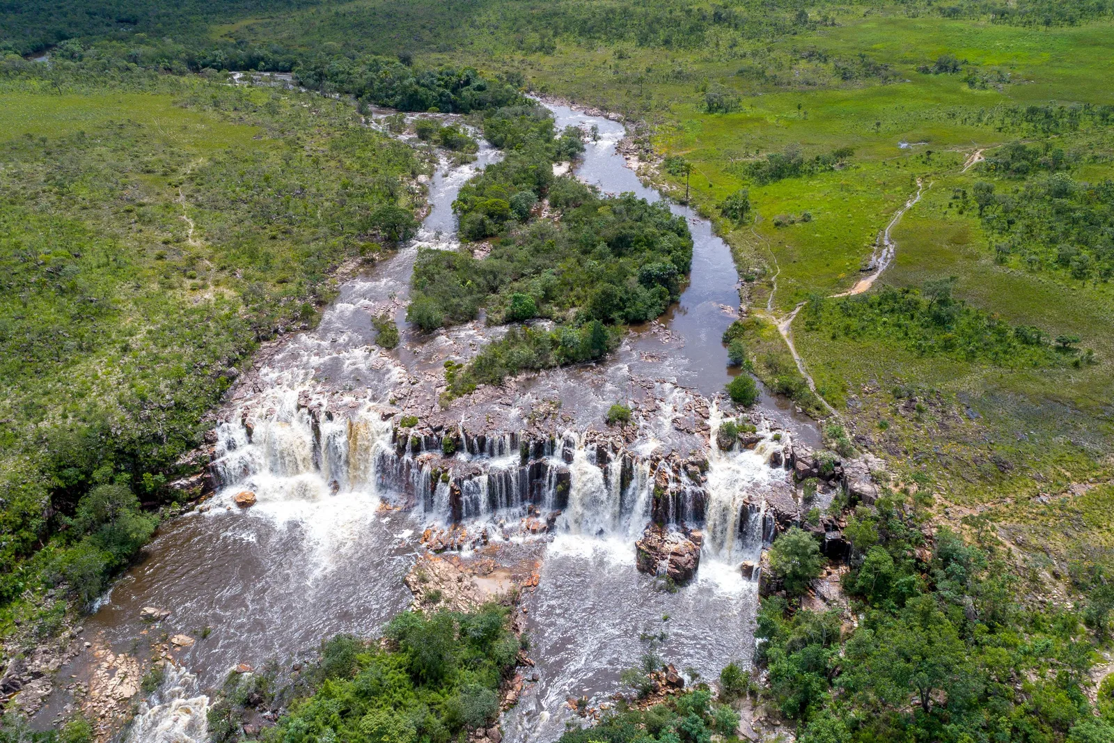
  • An aerial view of a river splitting around a wooded island and falling over a long ledge of dark rock across green grassland

    Alto Paraíso · full day, high vehicle

    The falls of the Catarata dos Couros

    The Rio dos Couros drops through a series of wide stepped falls across open plateau, about 53 km from Alto Paraíso, 35 km of it on dirt. The regional tourism association recommends a high or 4x4 vehicle; one agency lists the site as free.

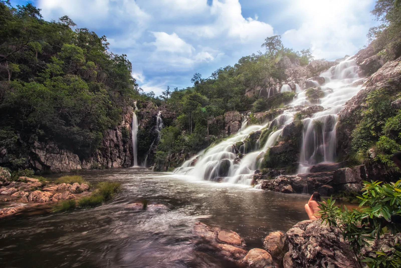
  • Water cascading in white streams down a rocky slope into a pool, with a second thin fall at the back of a wooded gorge

    Cavalcante · full day

    Capivara and Candaru in the Kalunga territory

    Two more Kalunga waterfalls, sold together by the community association for $20 (R$100) a head online, $24 (R$120) at the gate, with a Kalunga guide compulsory. AKCE gives Candaru as 75 meters. Pair them with Santa Bárbara on a long day from Cavalcante, or spend the night there.

Viewpoints & big walks

  • The sun rising over a dark tree line, its light reflected in pools of water among black rocks in a riverbed

    National park · 1–3 days

    The Sete Quedas traverse

    The park’s long walk: about 23.5 km across the plateau over one to three days, camping at Boa Sorte or Sete Quedas for $4.90 (R$25) a night, booked ahead, with 40 places a night at Sete Quedas. It opens only in the dry season, generally June to October or November, on dates the park sets each year. A guide is optional.

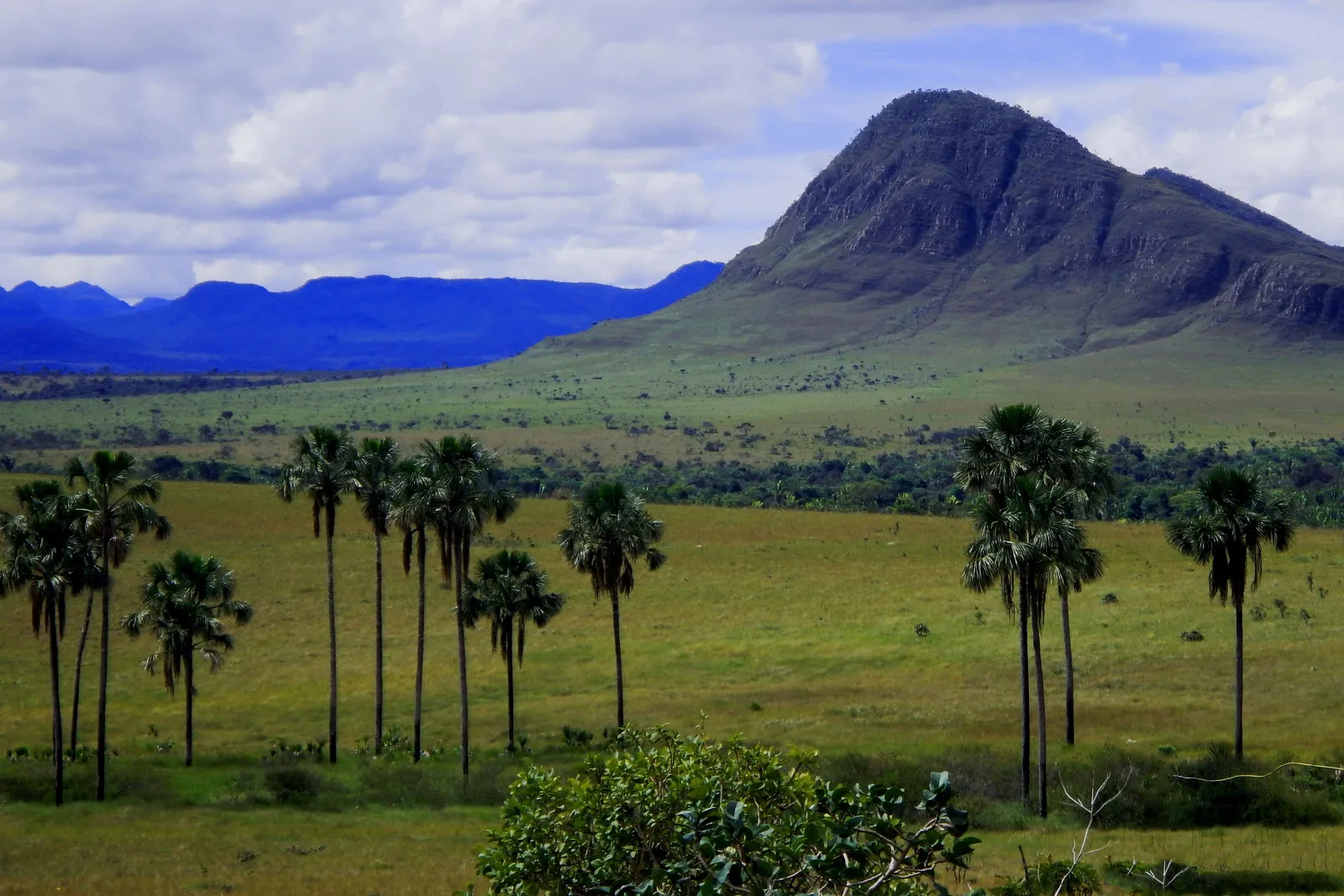
  • Tall buriti palms scattered across a green plain below a steep pointed mountain, with blue ranges on the horizon

    GO-239 · 1 hour

    Sunset at the Jardim de Maytrea

    Between Alto Paraíso and São Jorge, the road crosses a wide grassland dotted with buriti palms under a line of flat-topped hills. In December 2024 the town hall announced a state-funded viewpoint here, approved by ICMBio.

Towns & culture

  • Water cascading in white streams down a rocky slope into a pool, with a second thin fall at the back of a wooded gorge

    Cavalcante · full day

    Capivara and Candaru in the Kalunga territory

    Two more Kalunga waterfalls, sold together by the community association for $20 (R$100) a head online, $24 (R$120) at the gate, with a Kalunga guide compulsory. AKCE gives Candaru as 75 meters. Pair them with Santa Bárbara on a long day from Cavalcante, or spend the night there.

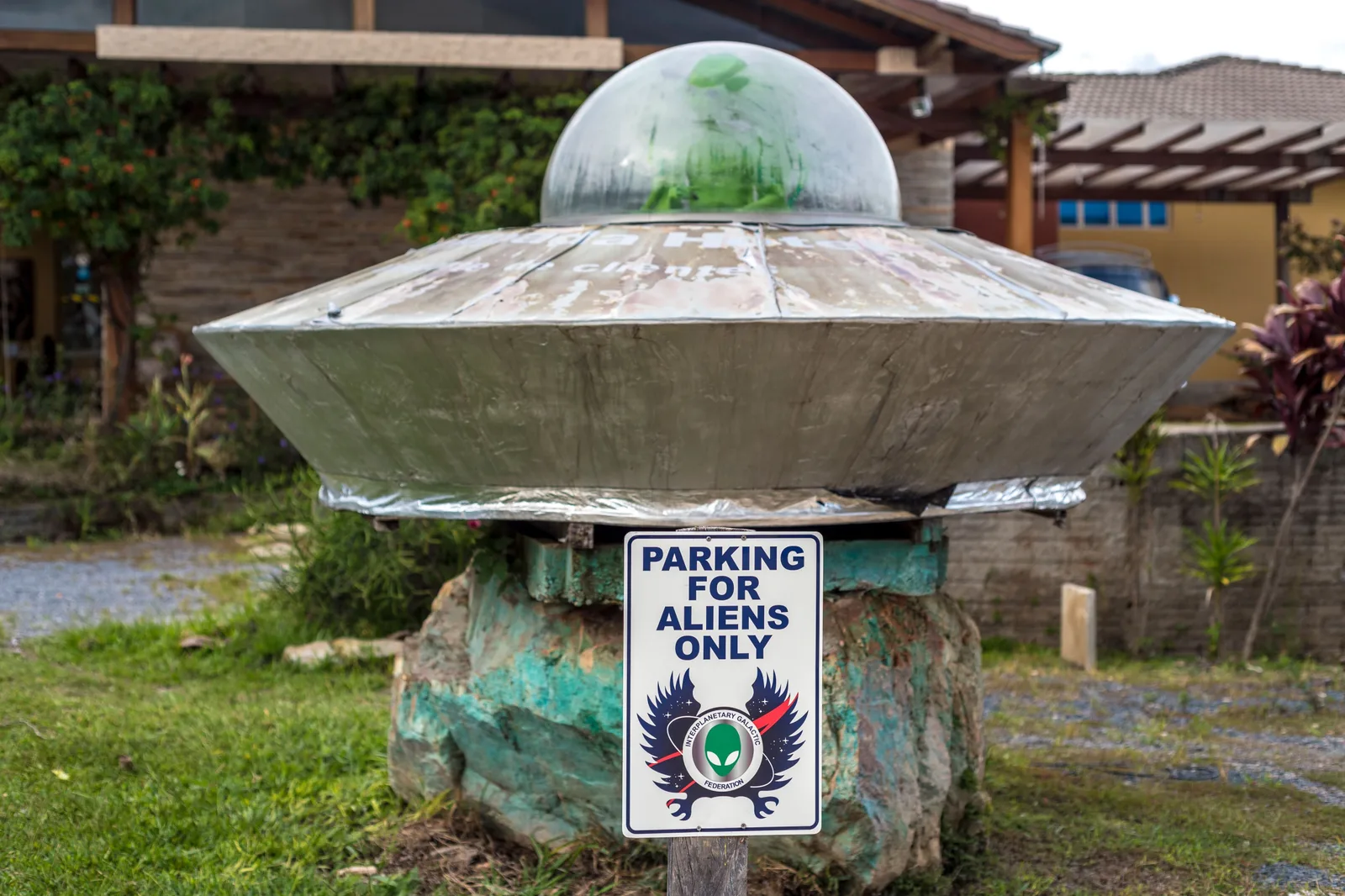
  • A silver flying-saucer sculpture with a green dome on a rock pedestal, with a sign reading Parking for aliens only

    Alto Paraíso · evening

    Alto Paraíso and its reputation

    Alto Paraíso grew from a farm called Veadeiros, which became a municipality in 1953 and took its present name a decade later. Esperantists founded the Bona Espero farm nearby in the 1950s, a spiritist community followed in the 1960s, and from the 1980s the park’s management plan records a wave of newcomers seeking an alternative life. Today it is known as a mystic town, with a UFO folklore that residents argue over: in 2024 they opposed a bill to make it the “capital of UFOs”.

Where to stay

A village at the gate, a town on the highway, or the Kalunga north.

The choice is between São Jorge, the village at the park gate, and Alto Paraíso, the town on the main road 38 km east, with far more rooms and restaurants. Cavalcante, 90 km north, is the base for the Kalunga waterfalls. Splitting the stay between two of them saves a lot of driving.

Drag and zoom to explore.

Tap an area to open it and see it on the map

  • Our pick

    Best for: The park, the Vale da Lua and the Janela

    The dirt-street village where the park’s visitor center is. Booking.com listed 44 properties here for a November night, most of them within a few hundred meters of the village center, from about $39 to $68 (R$200 to R$345) for a double, with boutique places above that. You walk to the trailheads, the Vale da Lua is 6 km away and the Janela 5 km, so the days you spend in the park start at your door.

    • Park gate
    • Walkable
    • Dirt streets
    • Fewer rooms in July
  • Best for: Choice, restaurants and the waterfalls east of the park

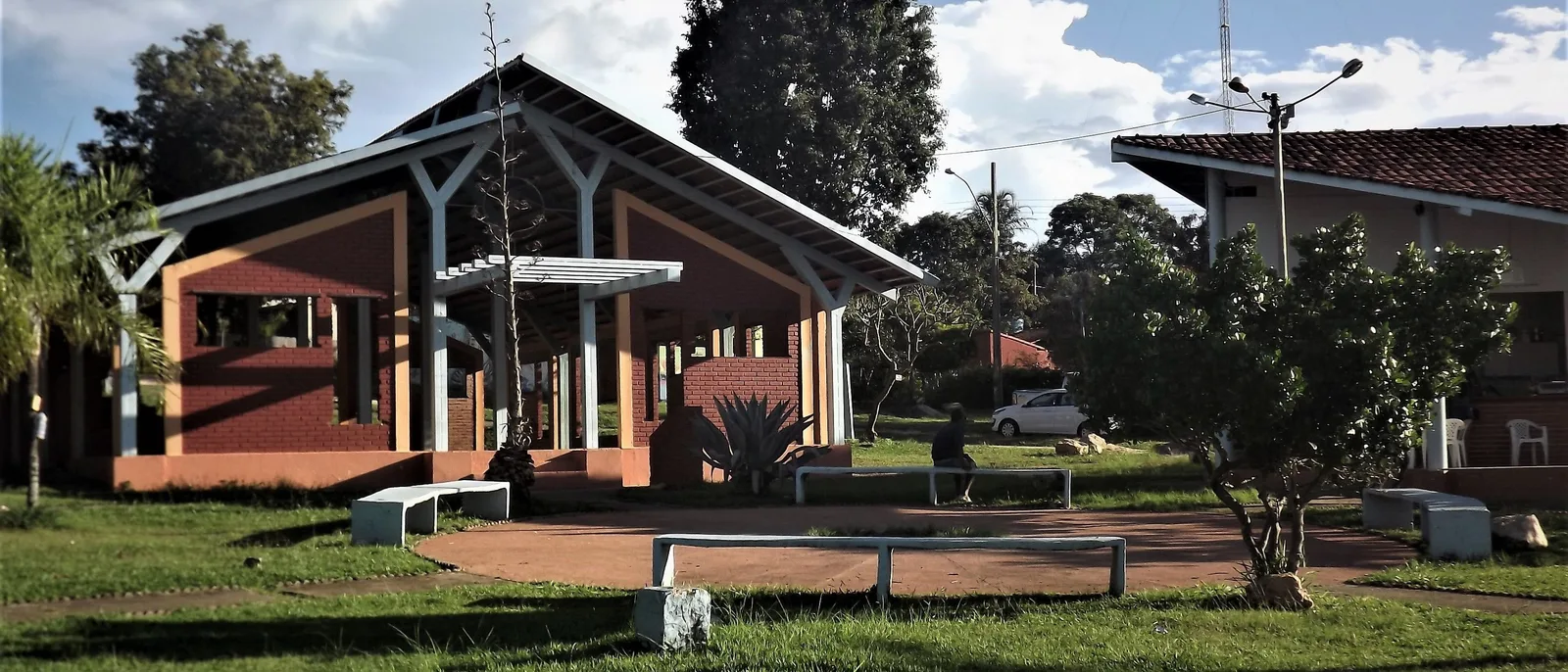
    A low pavilion with terracotta walls and a white-framed gabled roof on a grassy community square in Alto Paraíso, with benches in front

    The town on the GO-118, where the buses from Brasília stop. Booking.com counted 190 properties in its search, some of them out of town, with typical pousada doubles from about $39 to $97 (R$200 to R$494) in November. Almécegas, Loquinhas and the Cristais are all close, and Cavalcante is an hour and a half north. The park is 38 km away, so each park day starts with a drive.

    • Most rooms
    • Most restaurants
    • Bus from Brasília
    • 38 km to the park
  • Best for: The Kalunga waterfalls

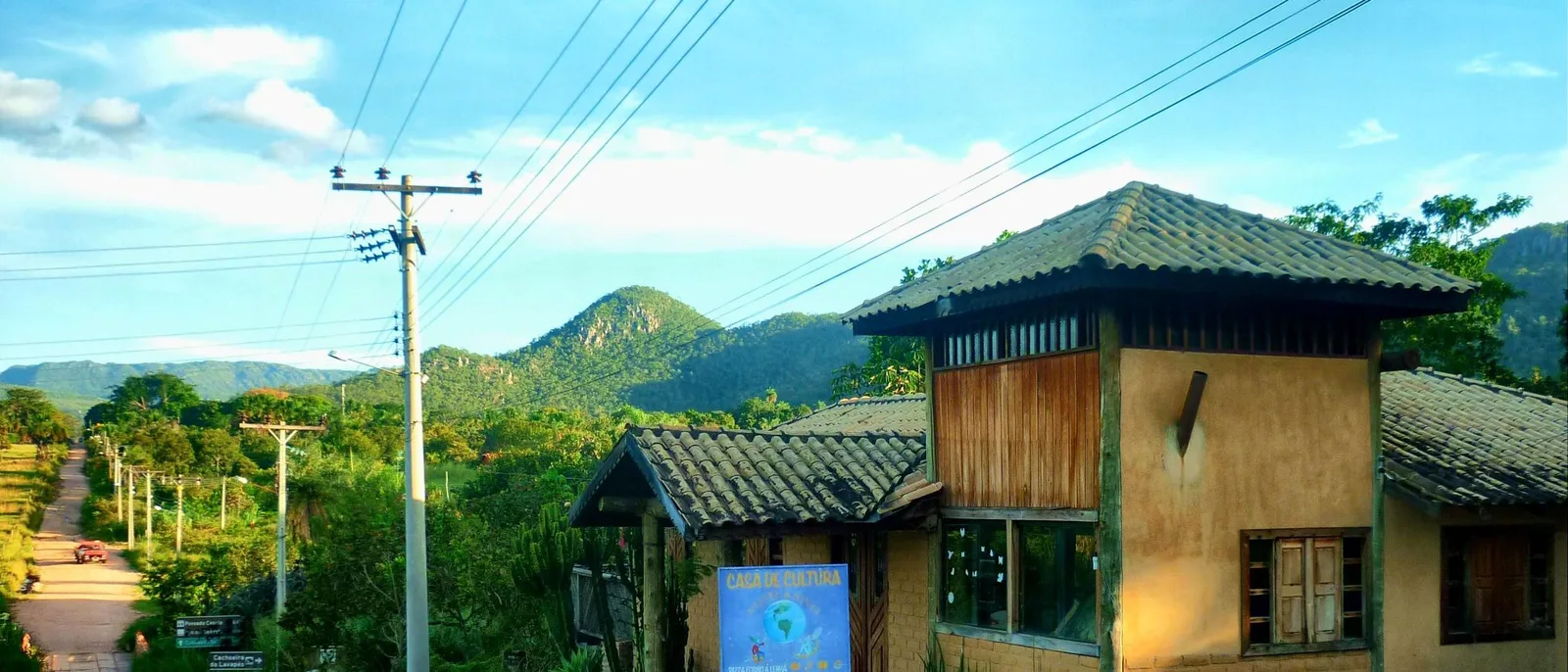
    The Casa de Cultura in Cavalcante, a two-story house with earth walls, a wooden upper floor and a tiled roof, beside a dirt road running downhill toward green wooded hills

    The old town 90 km north of Alto Paraíso, at the edge of the Kalunga territory. Booking.com listed 44 properties for a November night, pousadas from about $36 to $70 (R$186 to R$359). It cuts out three hours of round-trip driving on the Kalunga days, and AKCE gives a discount to visitors who stay in its own community at Engenho II.

    • Kalunga falls
    • One or two nights
    • Dirt roads beyond town

A working plan

Six days on the plateau.

Three nights in São Jorge for the park and the Vale da Lua, then two in Alto Paraíso for the waterfalls to the east and a long day in the Kalunga territory. Shorter than this, keep the Saltos and the Vale da Lua, which nothing else here replaces.

  1. 01
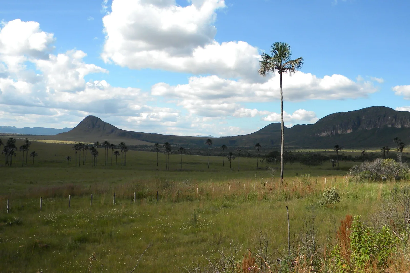
    A single tall palm standing over a green plain with a pointed hill and a long flat-topped mountain on the horizon under white clouds

    Brasília → Alto Paraíso → São Jorge

    Up onto the plateau

    Land in Brasília in the morning, collect a car and drive 235 km north, about 3 hours 50 minutes, to Alto Paraíso. Lunch there, then on to São Jorge, stopping at the Jardim de Maytrea for the late light.

  2. 02
    A long-exposure view of a broad waterfall falling in two smooth white curtains into a pool between dark wooded cliffs

    National park · Saltos trail

    The great falls

    Through the park gate by 8:00am for the Saltos trail: the 120-meter fall from its viewpoint, a swim below the 80-meter Garimpão, and the Corredeiras on the way back. Allow six to seven hours.

  3. 03
    Smooth gray rock worn into rounded lumps and hollows, with green water running through a narrow channel and forest behind

    Cânion II and Cariocas → Vale da Lua

    Canyon morning, moon valley afternoon

    The Cânion II and Cariocas trail in the morning, four to five hours, then the 6 km out to the Vale da Lua in the afternoon. Its gate closes at 4:00pm.

  4. 04
    A deep green valley under a sky full of white clouds, with a double waterfall far below falling off a pale cliff

    Mirante da Janela → Almécegas → Alto Paraíso

    The window over the falls

    The 4 km climb to the Mirante da Janela in the cool of the morning, then east to Almécegas and São Bento for a swim, and on to Alto Paraíso for the night.

  5. 05
    A thin waterfall falling into a turquoise pool surrounded by forest and rock, its surface glassy

    Alto Paraíso → Cavalcante → Engenho II

    The Kalunga waterfalls

    An early start for the 90 km to Cavalcante and 27 km of dirt to Engenho II, where a Kalunga guide takes you to Santa Bárbara. Book ahead: numbers are capped at 300 a day. Add Capivara and Candaru, or sleep in Cavalcante.

  6. 06
    A thin waterfall dropping down a rock face into a wide, clear turquoise pool ringed by pale rock and forest

    Loquinhas → Brasília

    One more pool, and down

    A morning swim at Loquinhas, 4.4 km from the center of Alto Paraíso, then the drive back to Brasília. Gol’s flights to Florida leave in the morning, so for those, sleep near the airport tonight.

This is a starting shape, not a fixed departure — we rearrange it around your dates. Have it built for you

Timing

Full falls, or clear skies.

The plateau has a wet season and a dry one. From November to March it rains on about half the days, and the Rio Preto runs at its fullest: in January its flow is about eighteen times July’s. From May to September it barely rains, the nights are cool at 1,200 meters, and the falls shrink. July is the pick for walking: the driest month, with the coolest nights. By September the air is at its hottest and driest and the fire season peaks.

How warm, how wet and how good each month is in the Chapada dos Veadeiros. Choose a month for its average temperatures, rainfall and what the season is doing then.

January

Trade-offs
Air
17–27°C 63–81°F
UV
9 Very high
Rain
15 days 183 mm / 7.2 in

The wet season, with rain on about fifteen days, and the Rio Preto at its highest flow of the year.

February

Trade-offs
Air
17–27°C 63–81°F
UV
11 Extreme
Rain
14 days 175 mm / 6.9 in

Still the rainy season, 175 mm on about fourteen days, and the falls running close to full.

March

Trade-offs
Air
17–27°C 63–81°F
UV
10 Very high
Rain
17 days 221 mm / 8.7 in

The wettest month at Alto Paraíso, 221 mm on about seventeen days, with the falls still full.

April

Good
Air
17–27°C 63–81°F
UV
9 Very high
Rain
10 days 105 mm / 4.1 in

The rains easing to about 105 mm, and the river still carrying close to half its January water.

May

Good
Air
15–26°C 59–79°F
UV
9 Very high
Rain
4 days 38 mm / 1.5 in

The dry season opens: rain on about four days and the falls down to about a sixth of their peak.

June

Good
Air
13–25°C 55–77°F
UV
8 Very high
Rain
1 day 6 mm / 0.2 in

Dry, 6 mm in a normal June, and the nights cooling toward 13°C.

July

Best
Air
13–25°C 55–77°F
UV
9 Very high
Rain
0 days 0 mm / 0.0 in

The best month: rainless in a normal year and the coolest nights. The falls are near their lowest, so this is a month for hiking and views.

August

Good
Air
14–27°C 57–81°F
UV
10 Very high
Rain
1 day 4 mm / 0.2 in

Still dry and warming, with very dry air: the daily low humidity averages about 25 percent.

September

Trade-offs
Air
17–30°C 63–86°F
UV
11 Extreme
Rain
3 days 36 mm / 1.4 in

The hottest month, 29.5°C on an average afternoon, the driest air, the river at its lowest, and the peak of the fire season.

October

Trade-offs
Air
18–29°C 64–84°F
UV
11 Extreme
Rain
9 days 116 mm / 4.6 in

The rains return, about 116 mm on nine days, still hot, and still a busy month for fires.

November

Trade-offs
Air
17–27°C 63–81°F
UV
10 Very high
Rain
15 days 199 mm / 7.8 in

Fully rainy again, 199 mm on about fifteen days, and the falls filling fast.

December

Trade-offs
Air
17–27°C 63–81°F
UV
10 Very high
Rain
16 days 204 mm / 8.0 in

About 204 mm on sixteen days, the second-wettest month, and the falls back near full.

  • Best The one or two peak months
  • Good A real recommendation
  • Trade-offs Workable, with a catch
See Chapada dos Veadeiros on the Brazil calendar

UV is the monthly average of the daily peak, 2022 to 2025, calculated from Copernicus Atmosphere Monitoring Service data. Weather data by Open-Meteo.com, CC BY 4.0.

Best month

July

Effectively rainless, 0.2 mm in the normal July, with nights down to 13°C and afternoons near 25°C. The catch: the Rio Preto carries about an eighteenth of its January water.

Close behind

April, May, June, August

April has the last of the rains and falls still near half full. May and June are dry and mild. August is warmer, very dry, and the falls near their lowest.

Trade-offs

September–March

September is the hottest, driest month, and the busiest for fires. From October the rains build to around 200 mm a month from November to March, when the falls are full and flash floods are the risk.

About the rain

Rainfall and rain days are the ANA rain gauge in Alto Paraíso, 1991–2020, which adds up to about 1,290 mm a year, almost all of it between October and April. Temperatures are INMET’s automatic station A024, at 1,260 meters just outside the town, averaged over 2008–2025. São Jorge, 38 km west, has no station of its own.

The falls follow the rain with a lag. On ANA’s river gauge on the Rio Preto, 1979–2014, the flow is highest from December to March and lowest in August and September, at about a twenty-fifth of January’s. The park works around the water: the short Seriema trail closes from June to October, while the Carrossel pool, the Cânion I, the upper Cariocas pool and the Sete Quedas traverse open only in the dry season.

The dates worth planning around

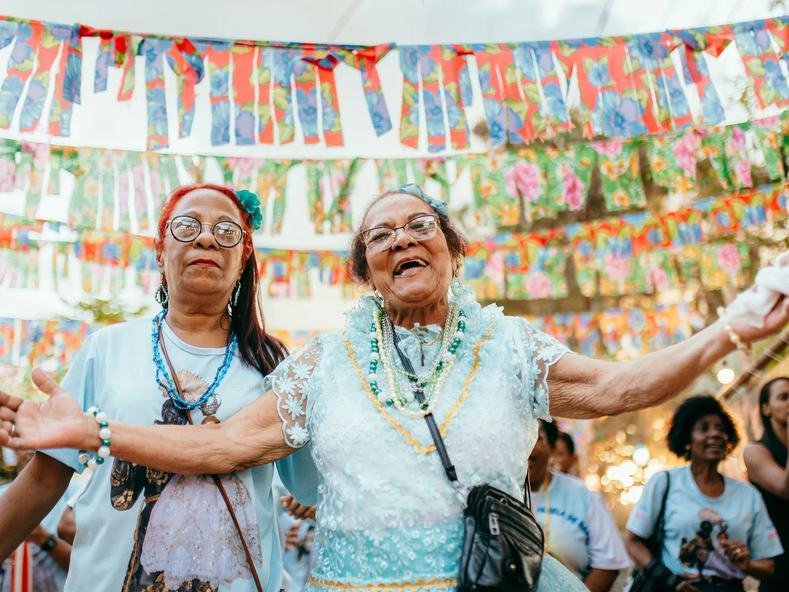
Two older women of a congada group, in light blue, dancing with arms outstretched under strings of colorful paper bunting in a festival procession through São Jorge, a crowd behind them

Encontro de Culturas Tradicionais

6–17 October in 2026; the dates move from year to year

São Jorge’s festival of traditional cultures, in its 26th edition in 2026, brings Indigenous peoples, quilombola communities and masters of Brazil’s popular traditions to the village. Its dates move: July in 2023, 13 to 20 September in 2025, and 6 to 17 October in 2026. Check the organizers’ dates for your year, and book a room early.

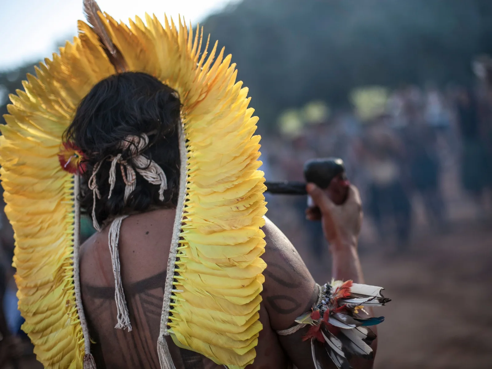
A man seen from behind wearing a tall headdress of yellow feathers, with a blurred crowd on a dirt road ahead of him

Aldeia Multiétnica

July; 17–25 July in 2026

Representatives of Indigenous peoples from across Brazil gather on the Estrada do Vale Verde outside Alto Paraíso for days of cultural exchange, performances and workshops, alcohol-free. The 2026 edition, the eighteenth, ran from 17 to 25 July, in the heart of the dry season.

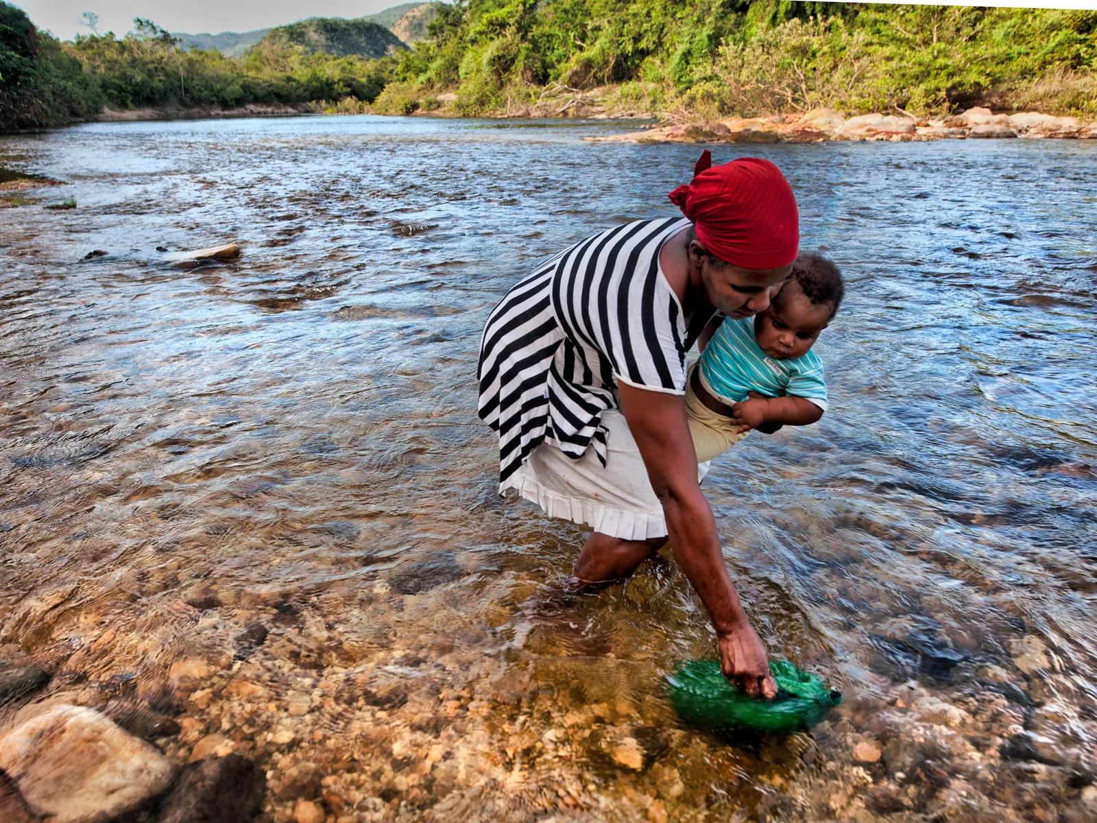
A woman in a red headscarf and striped dress bending to fill a green basin in a clear, shallow river while carrying a baby, wooded hills behind

Romaria de Nossa Senhora d’Abadia, Vão de Almas

12–17 August

The largest gathering of the Kalunga, a pilgrimage and festival in the remote valley of Vão de Almas, about 70 km from Cavalcante, held each year from 12 to 17 August. It is a community religious festival rather than an event staged for visitors, so go with someone local.

Good to know

Before you come

Why this chapada, and not Chapada Diamantina or Chapada das Mesas? +

They are three different trips, one in Goiás, one in Bahia and one in Maranhão, and each has its own page on this site, so read them side by side. What sets the Chapada dos Veadeiros apart is access, altitude and freedom on the trails. Its gateway, Brasília, has nonstop flights from Orlando and Miami that land around 7:00am, and Alto Paraíso is about 3 hours 50 minutes north on paved roads. It is high, with the town’s weather station at 1,260 meters, so dry-season nights fall to about 13°C. The national park’s day trails need no guide and start from a village at the gate, and next door the Kalunga communities guide visitors to their own waterfalls. Pick it for walking the cerrado plateau on your own, with a swim at the end of each day.

Do I need a guide, and do I need to book the park? +

For the park’s day trails, neither. A guide is optional on every day trail and on the Sete Quedas traverse, and tickets can be bought at the gate, although the Saltos trail is capped at 450 visitors a day on foot and the Cânion II at 300, so buying online in July is sensible. A guide is compulsory at night in the park, at the Kalunga waterfalls and for sunset at the Mirante da Janela, and Sete Quedas camping is booked ahead.

Is it safe to swim? +

Swimming in the rivers is at the heart of a trip here, but there are two things to weigh. The CDC’s general advice for Brazil is to avoid swimming in fresh, unchlorinated water because of schistosomiasis, a parasitic infection, so make that call with a travel clinic. And the rivers flood: the park warns of sudden flash floods in the rainy season, and a visitor drowned at the Vale da Lua in 2024. If it rains upstream or the water turns brown, get out.

When is the best time to go? +

July for walking: it is the driest month, with cool nights. April to June and August are close behind. The catch is that the dry months are also when the falls are thinnest; if you want them roaring, come between December and March and accept rain on about half the days and the risk of flash floods. September is the hottest, driest month and the peak of the fire season.

Should I stay in São Jorge or Alto Paraíso? +

São Jorge if the park is the point: the visitor center is in the village, and the Vale da Lua and the Janela are minutes away. Alto Paraíso if you want more choice of rooms and restaurants, or plan to spend days at the waterfalls east and north of town. With six days or more, split the stay, and add a night in Cavalcante for the Kalunga falls.

Keep going

Where the Chapada dos Veadeiros fits in a bigger trip.

The Chapada Diamantina in Bahia and the Chapada das Mesas in Maranhão are the two other chapadas people weigh it against. Brasília, where the flights land, has its own guide for a day or two at either end.

Free · 29 pages

Free guide

Beginner's Guide to Brazil

A free 29-page guide to everything a first-time visitor should know before landing: visas, safety, money, getting around, where to go, and what to eat.

We'll email you a link to confirm your address. Click it and the guide opens right away.

See what's inside
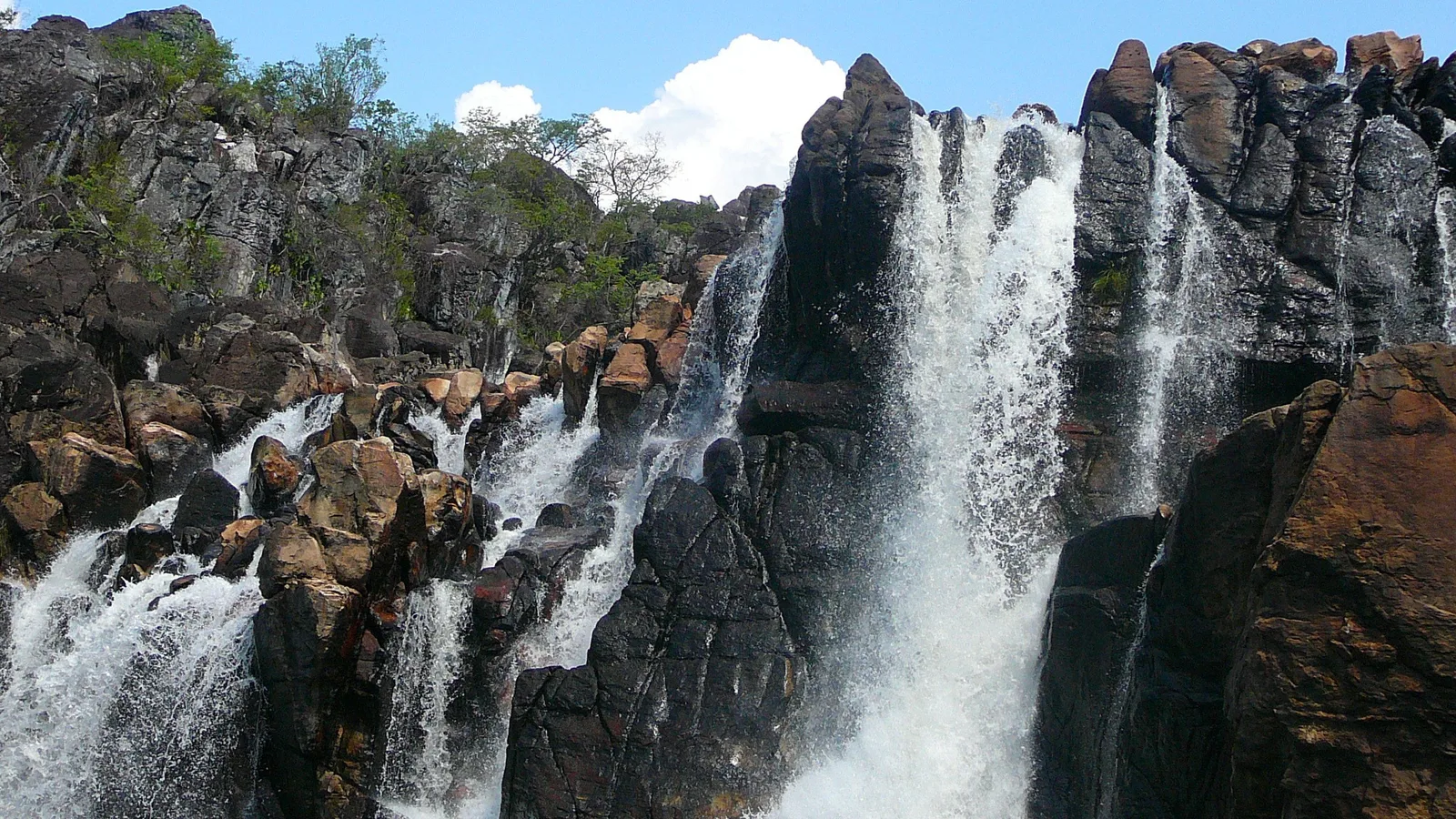
White water pouring in several streams down a wall of dark, jagged rock blocks, with cerrado trees along the top under a blue sky and one white cloud

Skip the planning

Get the season right and the rest is walking.

Tell us your dates and how far you like to walk. We will shape a private Chapada dos Veadeiros trip around them: the right base for each day, the park trails on the days the falls are worth it, and the Kalunga guide booked before the day’s places run out.

  • One person, living in Brazil, replying to you directly
  • A reply within one business day, no call center, no bots
  • No cost to plan, and no obligation to book
  • Built around your dates, not a fixed departure