
Skip to content
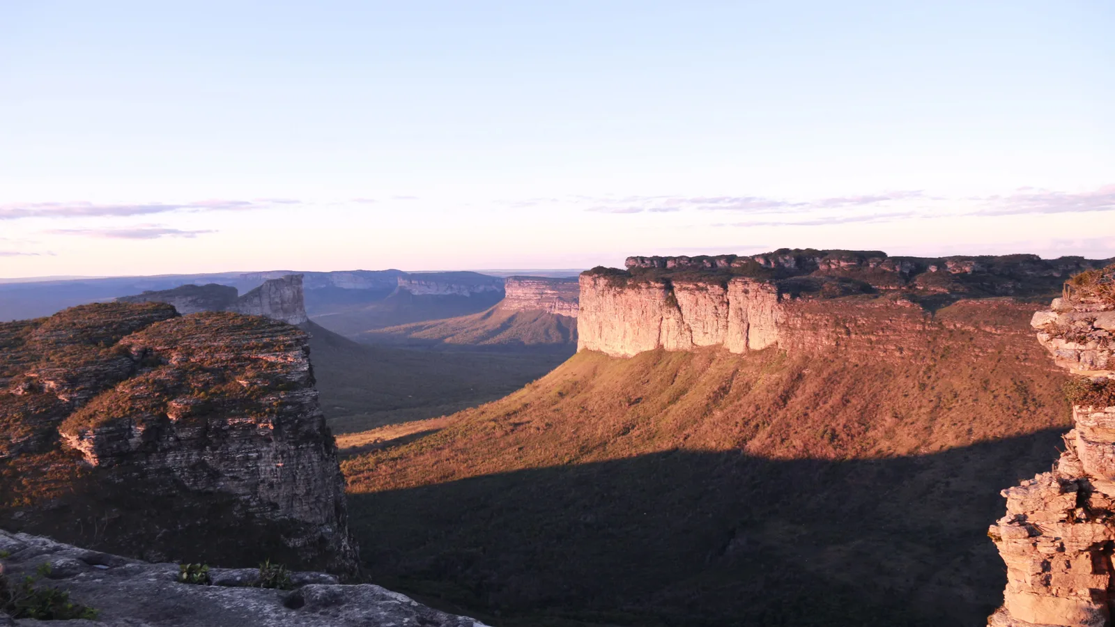
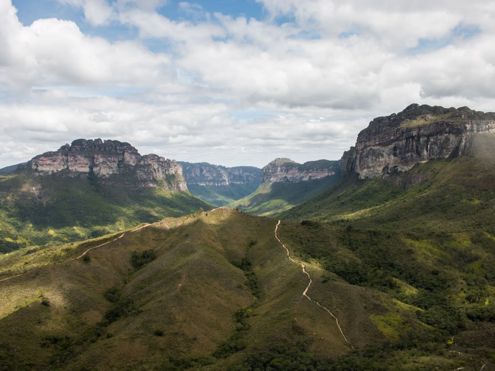
Flat-topped sandstone mountains stepping away across a wide green canyon in warm late light, one broad red-lit mesa standing closest to the camera

Bahia

Chapada Diamantina

Bahia’s other half: table mountains, cave water and the best trekking in Brazil.

Last checked October 2026

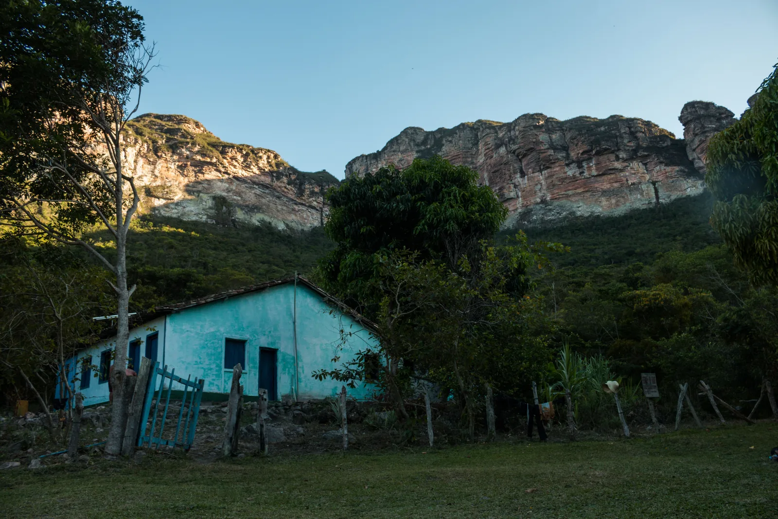
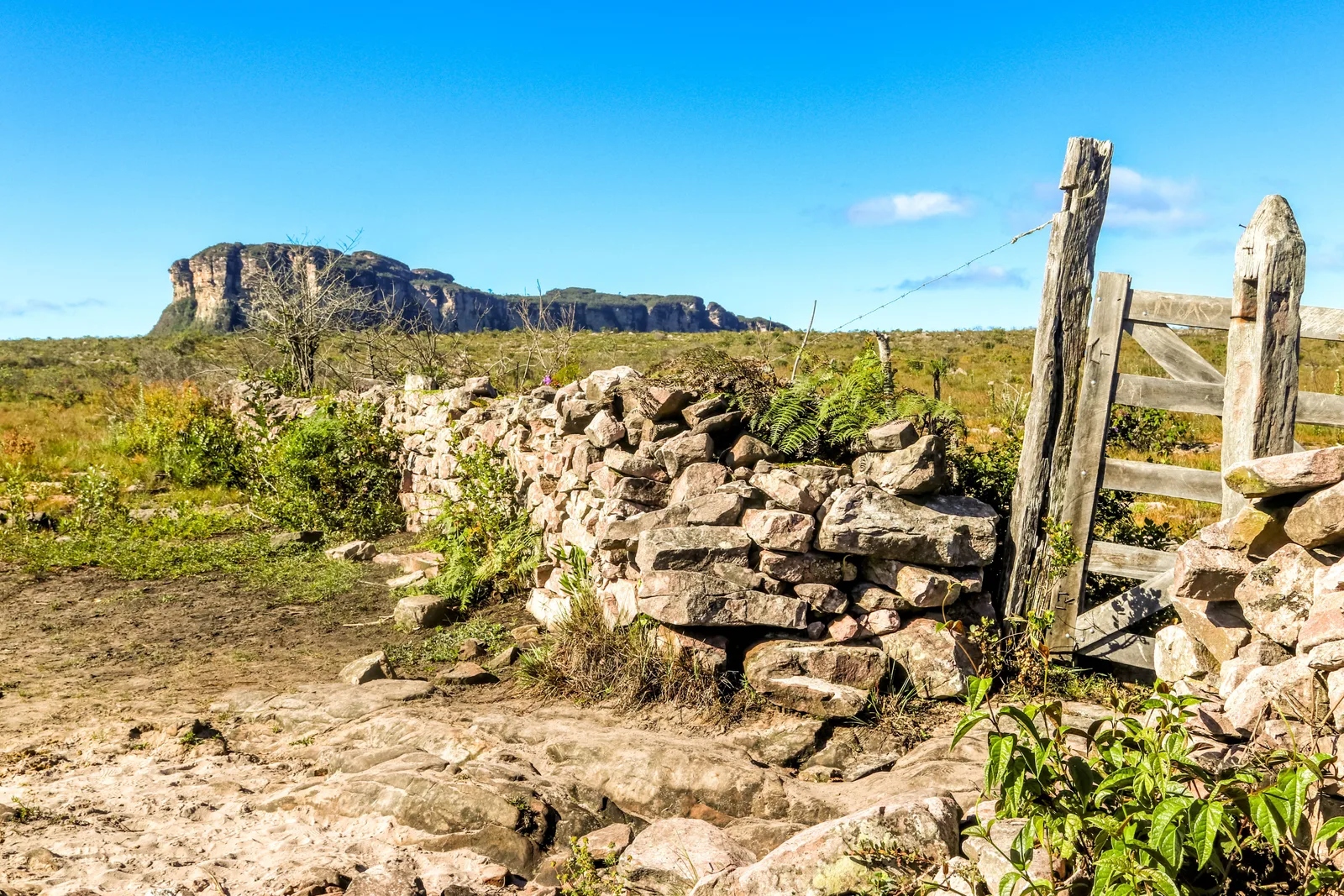
  • A low dry-stone wall and weathered timber gateposts on open upland grass, with a long flat-topped mountain on the horizon behind
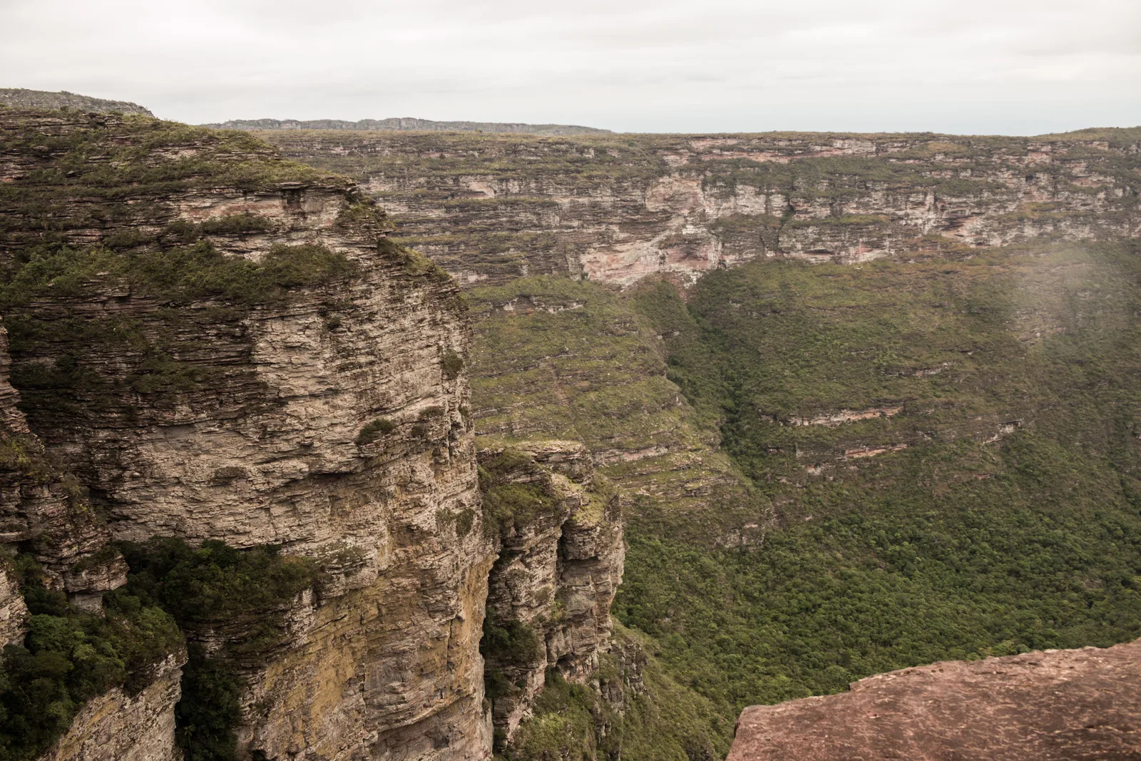
  • Layered sandstone cliffs curving away into a deep green canyon, seen from the rim
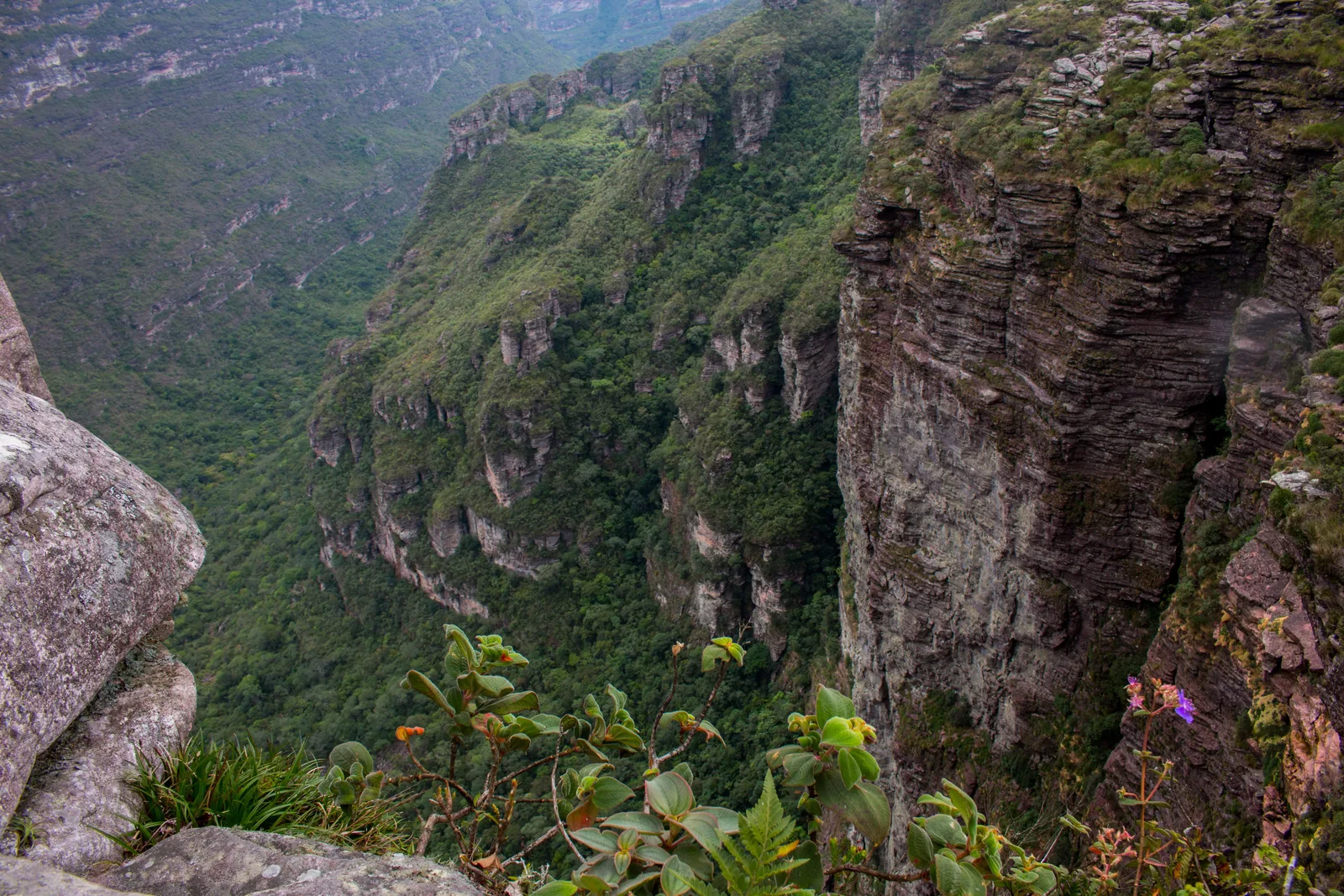
  • A vertical rock buttress dropping into a canyon filled with dense green forest
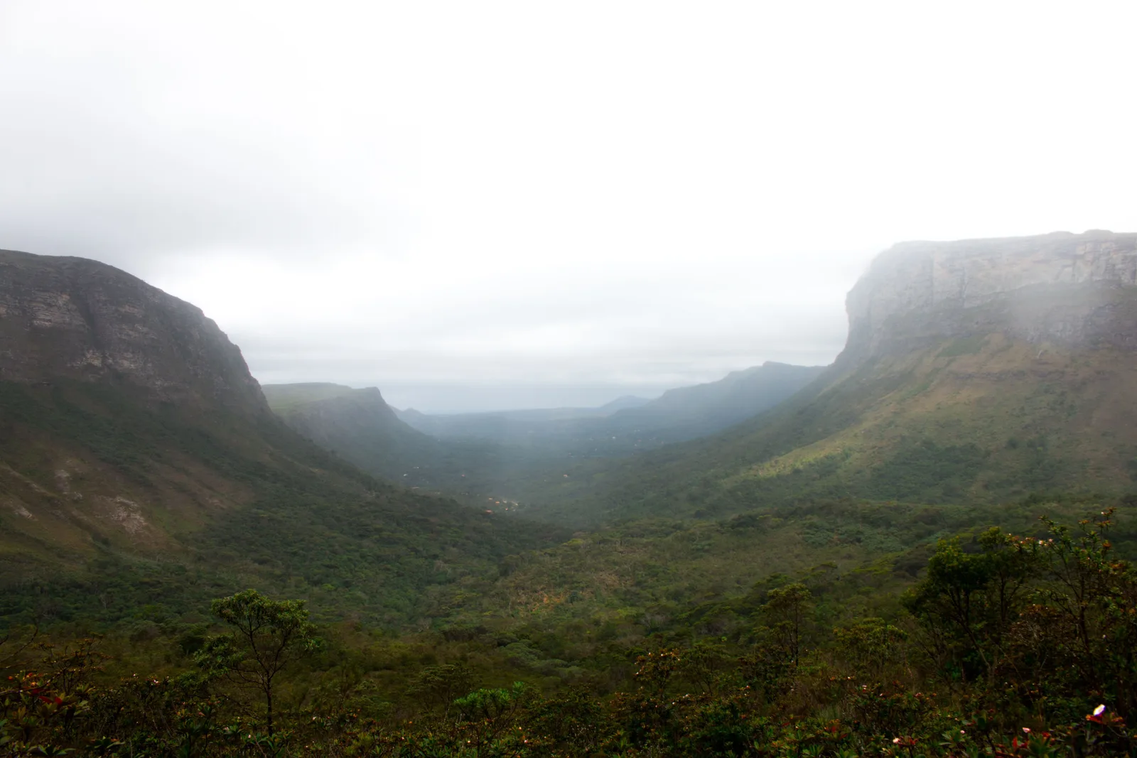
  • Low cloud lying along a broad valley floor between two long escarpments
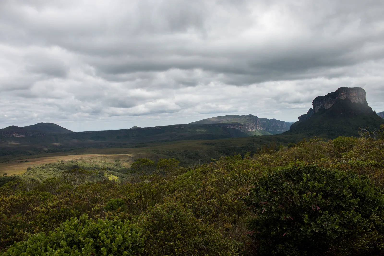
  • Low cerrado scrub in the foreground and a blunt rock peak on the skyline under heavy cloud
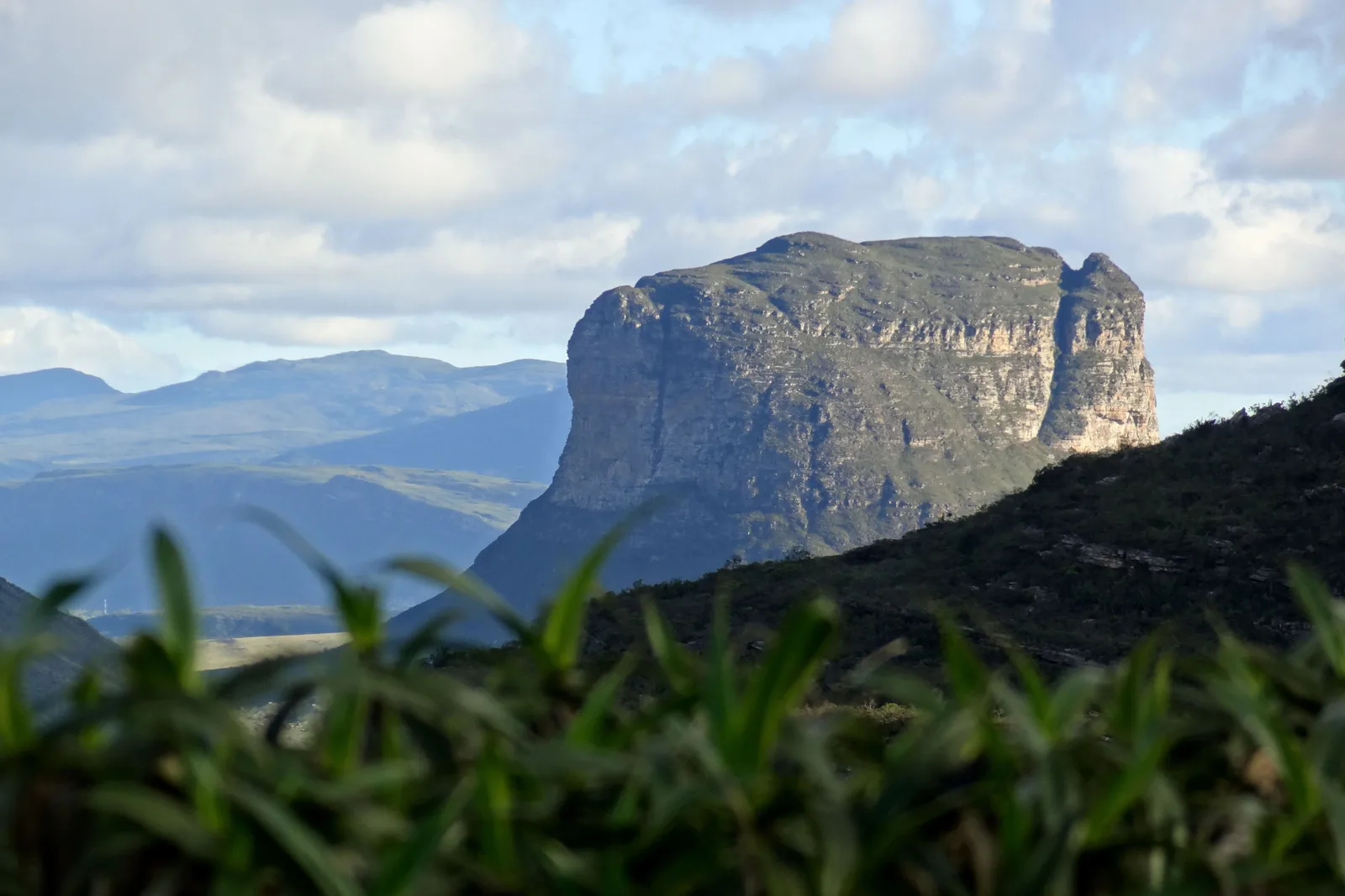
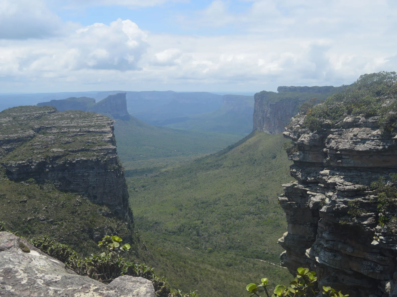
  • The Morrão seen across a green valley from Morro do Pai Inácio, its cliff face catching the afternoon light
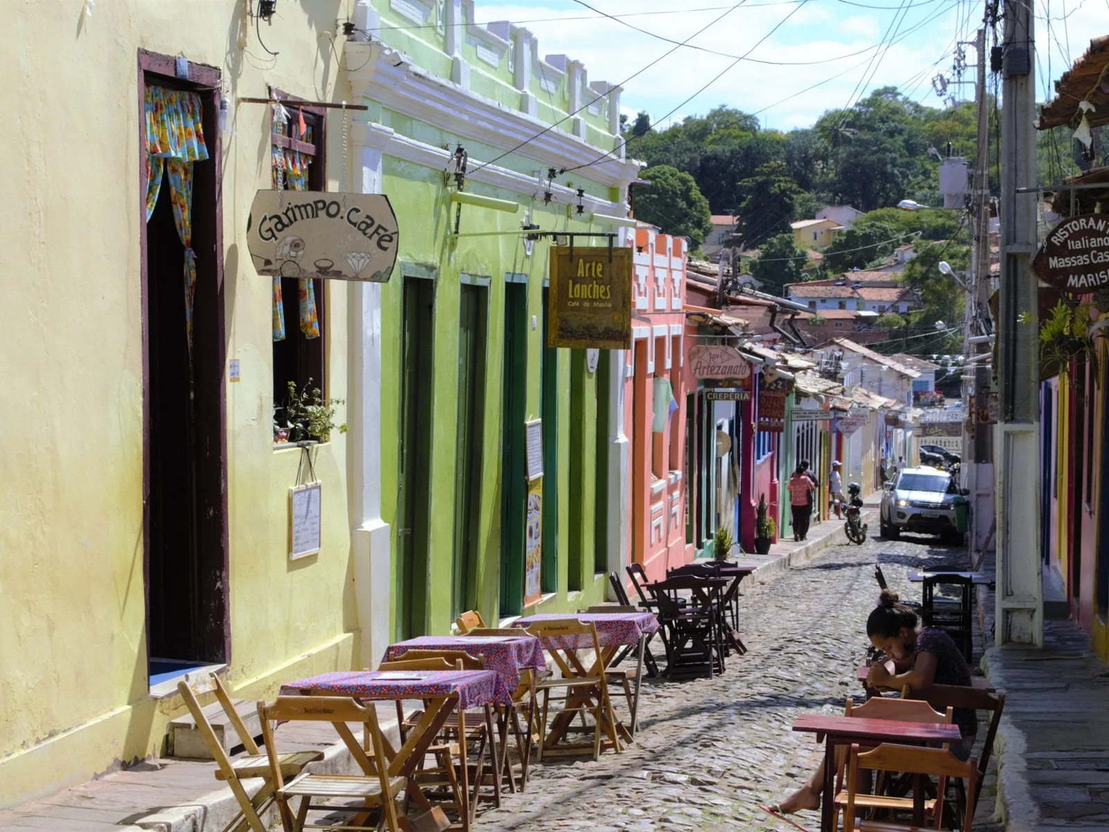
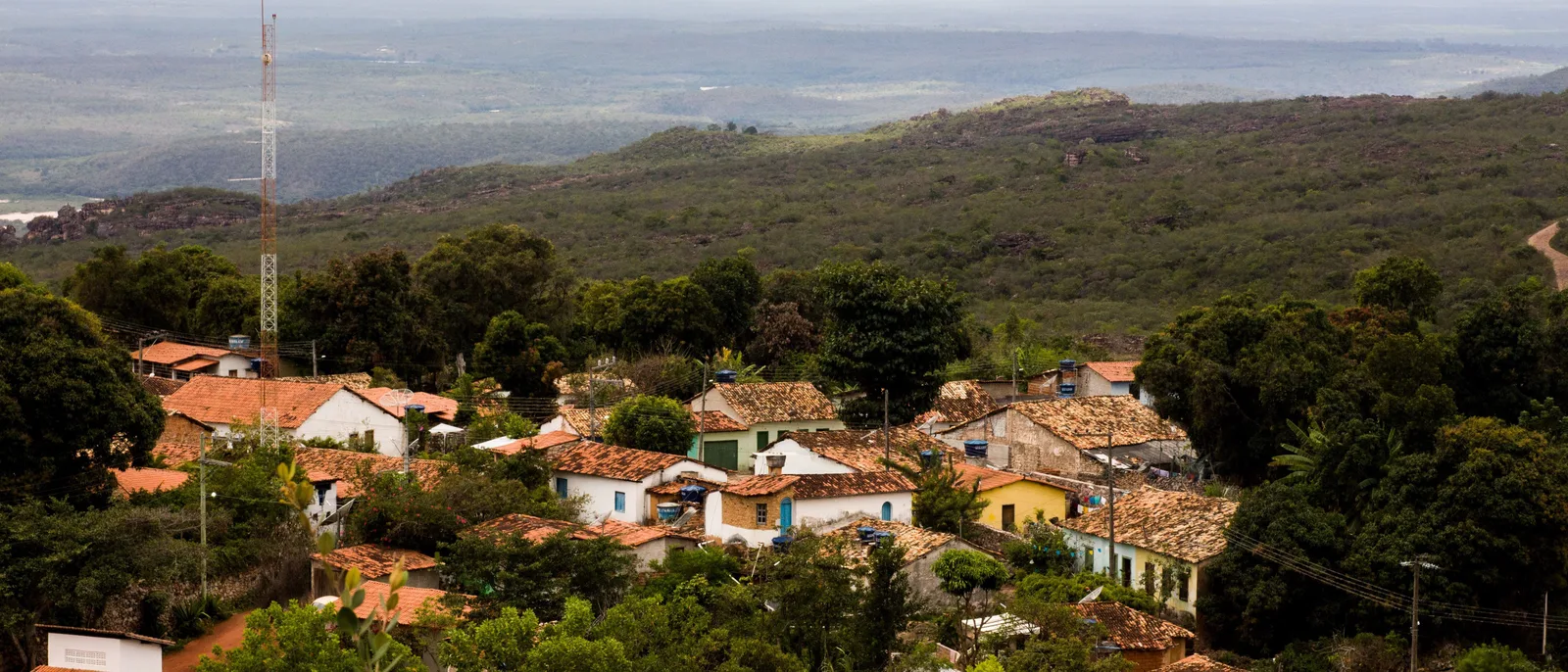
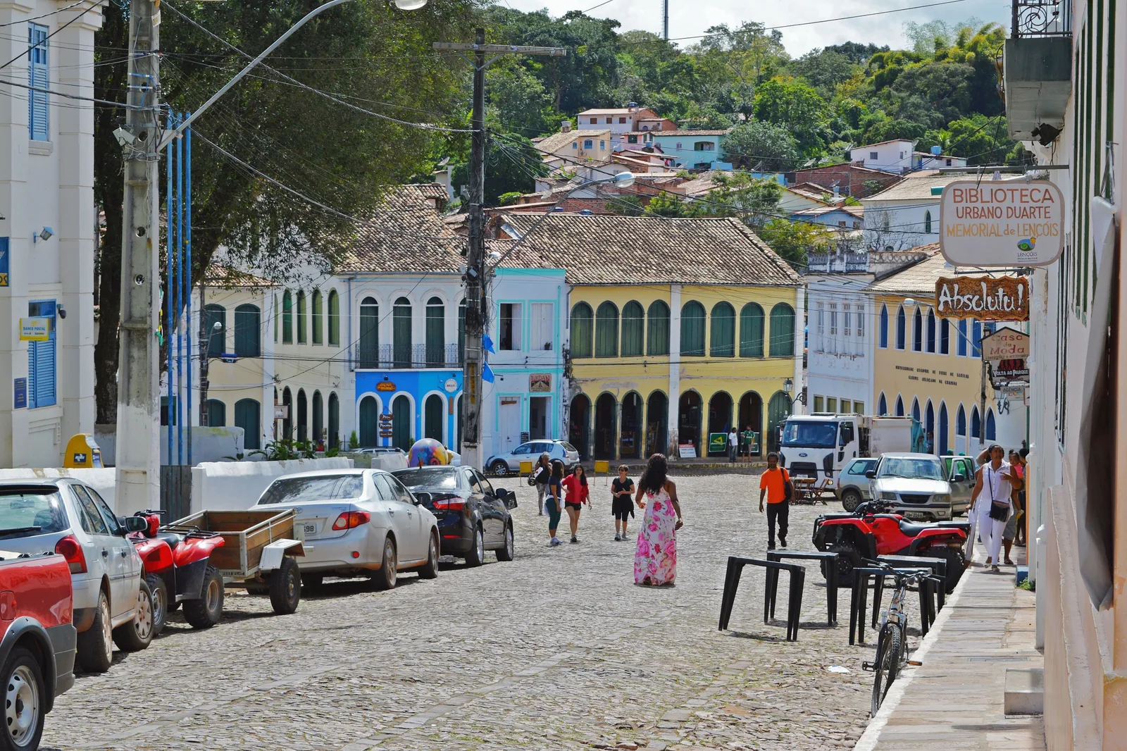
  • The main street of Lençóis, the town in Bahia, running downhill past an arcaded market building, cars parked along it and people crossing the cobbles
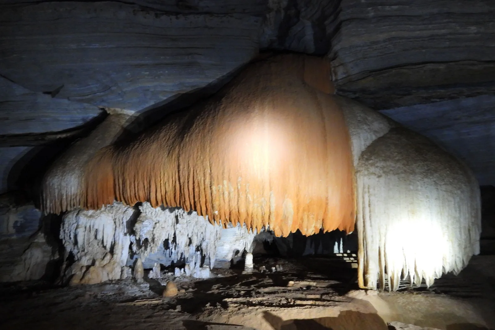
  • A great orange flowstone curtain hanging down a cave wall above a fringe of white stalactites, lit from below
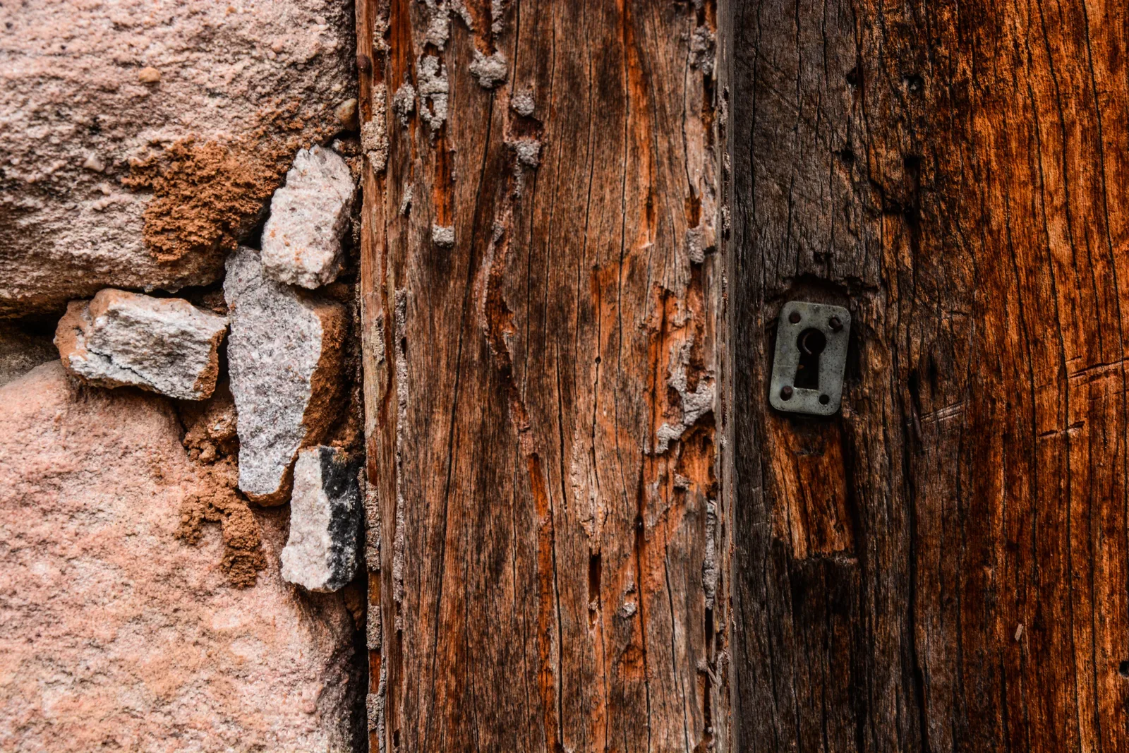
  • An old wooden door with a keyhole escutcheon plate, set into a wall of dry-laid stone at Igatu
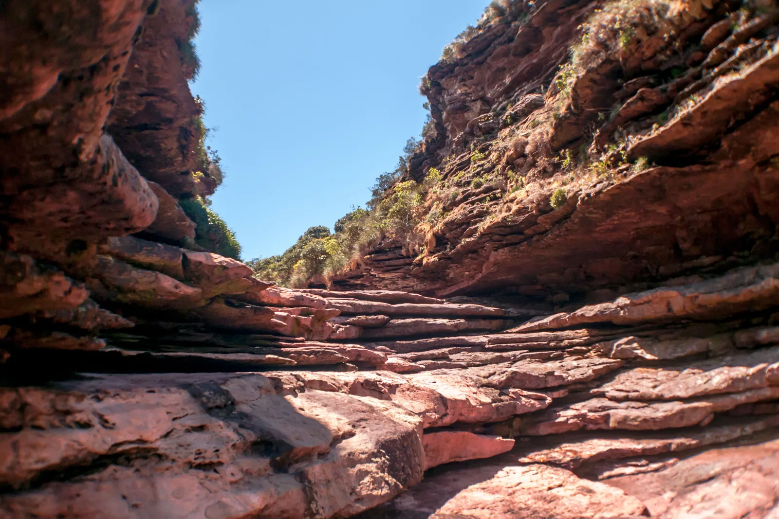
  • The bare banded-rock channel at the lip of Cachoeira da Fumaça in the dry season, with no water running through it
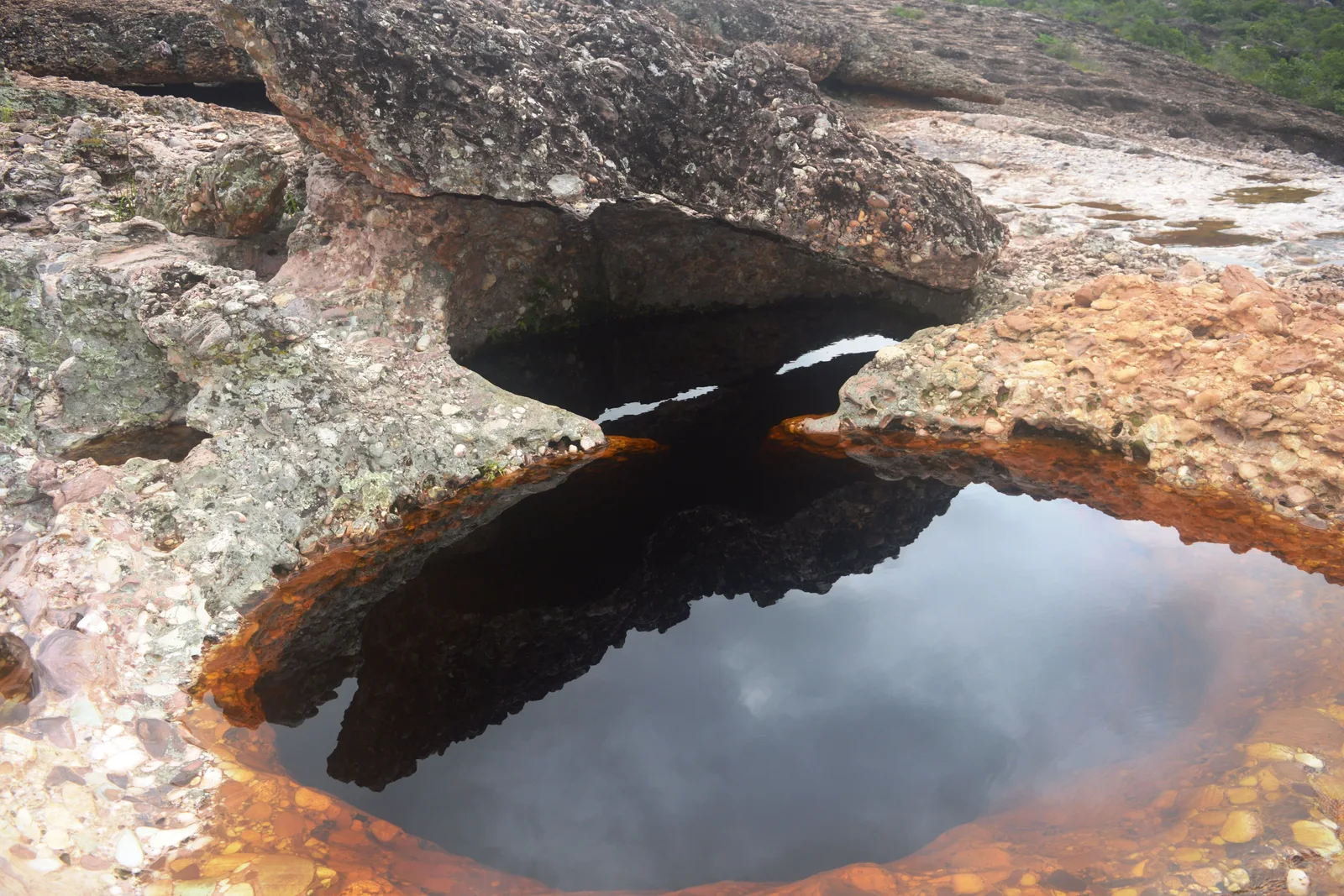
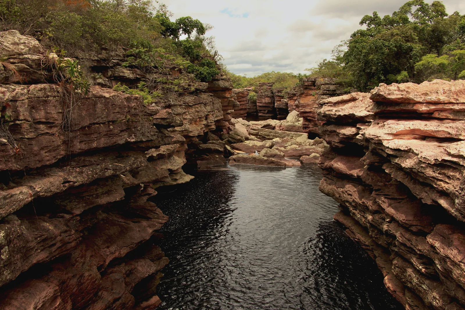
  • A dark river pool held between banded rock walls on the approach to Cachoeira do Buracão, trees along the top

Orientation

Inland Bahia in one screen.

Everything logistical, before the trails start.

General Info

What the Chapada Diamantina actually is

Four hundred kilometers inland from Salvador, the coastal plain of Bahia stops and a wall of sandstone starts. The Chapada Diamantina is the northern end of the Espinhaço range — flat-topped mountains, canyons a thousand meters deep, rivers the color of strong tea, and more caves than anyone has finished mapping. At the middle of it sits the Parque Nacional da Chapada Diamantina: 152,142 hectares, created on 17 September 1985, with no gate, no ticket office and no visitor center. This is the hiking half of Bahia, and it is about as far from the beach in feel as anywhere in the Northeast gets.

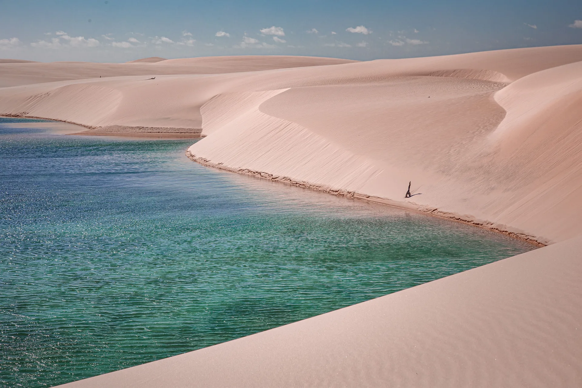
Diamonds made it and then left it. A prospector found the first stones in the bed of the Rio Mucugê in 1844, more turned up in the Rio Lençóis in 1845, and within four years more than thirty thousand people had come for them. The towns that rush built — Lençóis, the town in Bahia, along with Mucugê, Andaraí and Igatu — are still standing, mostly emptier than they were, and they are the reason a landscape this remote has cobbled streets and 19th-century townhouses in it. Do not confuse that town with the Lençóis Maranhenses, the dune field 1,500 km north; they share a name and nothing else. Both mean “bedsheets”, and for different reasons: the dunes look like sheets from the air, and the town is named for the white canvas tents of the diamond rush, which looked like sheets spread out on the hillside.

What people come for now is water and rock. Waterfalls that fall for three hundred meters, underground pools that turn electric blue for two hours a day when a shaft of sunlight reaches them, natural rock slides, and one multi-day walk — the Vale do Pati — that Brazilians routinely call the best trek in the country. Almost none of it is signposted. Almost all of it is reached with a local guide, and the guiding culture here is genuinely good: every base town has an association of registered condutores who grew up on these trails.

Where It Is

Central Bahia, six hours west of Salvador

The region sits in the middle of Bahia, along the BR-242. Lençóis, the town in Bahia and the usual arrival point, is about 420 km from Salvador — roughly six hours by car, about six and a half by bus, or seventy minutes on the twice-weekly Azul flight. Vale do Capão is another 70 km west and south of there; Mucugê is about 130 km south. The park itself covers parts of Palmeiras, Lençóis, Mucugê, Andaraí and Ibicoara.

Chapada Diamantina Chapada Diamantina

12.60° S, 41.40° W

See the Northeast on the interactive map

Cost

What the Chapada actually costs

This is one of the cheaper places on this site to spend a week, and the reason is that the landscape is free. The national park charges nothing to enter — there is no gate to charge at. What you pay for is a guide, a vehicle to reach a trailhead, and the handful of attractions that sit on municipal or private land and sell tickets of their own. Rooms are small-pousada rooms rather than resort rooms, and dinner is a restaurant meal rather than a full-board package.

Estimated daily budget, per person

Simple

$45 / day

A hostel bed or a plain pousada room, joining group day tours out of Lençóis, the town in Bahia, and eating at por-quilo places. Walking to the attractions you can walk to.

Standard

$110 / day

A good pousada with breakfast, a shared day tour with transport most days, restaurant dinners, and every entrance fee paid without thinking about it.

Private guide

$230 / day

A well-regarded pousada, a private condutor and a vehicle for the two of you every day, and the freedom to start a trail at 6:00am rather than at 9:00am with everyone else.

Estimates, per person per day, once you are in the region — flights not included, and all three assume two people sharing a room. A guided multi-day trek is priced separately and sits outside these numbers.

What things cost

  • Bus, Salvador to Lençóis, one way $37 R$190
  • Flight, Salvador to Lençóis, one way $130 R$664
  • Pousada double room, per night $39 R$200
  • Hostel dorm bed, per night $6 R$32
  • Shared day tour with transport, per person $98 R$498
  • Poço Azul and Poço Encantado day tour, per person $98 R$498
  • Private guide for a day, up to four people $71 R$360
  • Morro do Pai Inácio, entry $4 R$20
  • Poço Azul, entry with float gear $14 R$70
  • Gruta da Lapa Doce, entry $8 R$40
  • Rental car, compact, per day $33 R$170
  • Vale do Pati, three days guided, per person (two people) $435 R$2,220

The national park is free and has no infrastructure. ICMBio says so plainly: there is no gatehouse and no entrance charge. Everything with a ticket price on this page — Morro do Pai Inácio, the caves, the blue pools, the Buracão — is a municipal park or private land with its own operator, and those prices move. Palmeiras raised Pai Inácio and Riachinho to R$20 in April 2026.

A guide is the line worth spending on, and R$360 for a day covers a group of up to four, not one person. The trails have no signage and no phone signal for most of their length, which is why ICMBio recommends a condutor rather than requiring one. Splitting one between four people costs less than the entrance fees.

Bring cash. Lençóis, the town in Bahia, has banks and cards work in the pousadas, but the cave and pool operators, the village kitchens in the Vale do Pati and most of the smaller trailheads deal in reais and nothing else. There is no ATM in Vale do Capão worth relying on.

Checked October 2026 and converted at R$5.10 to the dollar. Estimates, not quotes — the shape of a budget rather than a price you can hold anyone to.

Safety

The risk here is the terrain, not the towns

8 /10

Our rating — one of the calmest corners of Bahia, and a landscape that does not forgive improvisation.

Nobody is going to rob you in Vale do Capão. The precautions that dominate a Salvador page barely apply out here: these are villages where the pousada owner knows which guide took you out and when you were due back. What can actually go wrong is environmental — you are walking unmarked trails in a park with no signage, no cell coverage and no gatehouse, in canyons that fill with water faster than you can walk out of them, and the nearest real hospital is hours away over a mountain road.

  • Flash floods are the serious hazard, and they are the reason the local word for it — cabeça d’água, “head of water” — is in every guide’s vocabulary. Rain falling on high ground you cannot see arrives in a slot canyon minutes later as a wall. The Buracão canyon, the river crossings on the Vale do Pati and the narrow section below the Fumaça are all exposed to it. Guides read the sky and the upstream forecast and call the day off; take that seriously when it happens.
  • Hire a condutor. ICMBio does not require one, and it recommends one on every longer trail for a specific reason: the routes are unmarked and phone signal does not reach most of them. Every base town — Lençóis in Bahia, Vale do Capão, Mucugê, Andaraí, Ibicoara — has an association of registered guides, and this is not a corner to save money on.
  • The water is the attraction and it is also cold, deep and dark. Rivers here run tea-brown with tannin, so you cannot see the bottom, and the pools below waterfalls have undercuts and rocks in them. Do not jump into water you have not been told to jump into, and wear the life jacket where one is handed to you — at the Buracão it is not optional.
  • The sun is stronger than it looks. This is 12° south at 400 to 1,200 meters, the tabletops carry no shade at all, and the UV index is very high to extreme from August to April and high even in midwinter. A brimmed hat, sunglasses and high-factor sunscreen are equipment. Carry more water than you think for a full-day trail; there is nowhere to buy any.
  • Cold at night surprises people. Lençóis, the town in Bahia, drops to about 17°C on a July night, and Mucugê and Vale do Capão sit 500 to 600 meters higher and can go below 12°C. Nobody packs a fleece for Bahia. Pack one.
  • The road out is long. Lençóis has a small hospital; anything serious means Seabra, Feira de Santana or Salvador, and that is a road journey of hours. Buy travel insurance that covers evacuation, carry your own medication, and tell your pousada which trail you are on.
  • The CDC recommends yellow fever vaccination for designated areas of Bahia rather than the whole state, so check your route against its map; the shot needs ten days to take effect. Dengue is present, so repellent matters, particularly around the wetter months.
  • Drive the BR-242 in daylight. It is the main east–west trunk road across Bahia, it carries heavy truck traffic, and the side roads to Vale do Capão and out to the caves are unlit, unpaved in places and busy with livestock after dark.

Getting There

Everything starts in Salvador

There is no international way in. You fly to Salvador (SSA) and then cover 420 km of Bahia — by road in about six hours, or on a short flight that runs twice a week.

  • Salvador is the gateway, with direct flights from Lisbon and constant domestic connections through São Paulo, Brasília and Recife. Most people spend two or three nights there first; it is the natural front half of this trip.
  • Driving is the most flexible option: the BR-242 runs west out of Salvador and the turn-off to Lençóis, the town in Bahia, is signed off it. About 420 km, roughly six hours, paved the whole way. A car also solves the biggest problem with this region, which is that the good things are 60 to 140 km apart.
  • The bus is a genuine option rather than a last resort. Rápido Federal runs Salvador to Lençóis in about six and a half hours, several departures a day including an overnight, from about R$140 for a standard seat to R$250 or more for a sleeper. The night bus buys you a day.
  • Azul flies Salvador to Lençóis (LEC) in about seventy minutes, twice a week, from around R$664 one way. Confirm the days with Azul — published schedules disagree and they have changed. The airport is 24 km from town and you will need a transfer. Two departure days is a real constraint on a short trip — check the schedule before you build an itinerary around it.
  • From Lençóis, the town in Bahia, it is another 70 km to Vale do Capão, about two hours, with the last stretch unpaved; and about 130 km south to Mucugê. Vans and shared transfers run these routes daily, and every pousada can book one.

Getting Around

A car, a guide, or both

The region is bigger than it looks on a map and the attractions are scattered across five municipalities. Almost nobody sees it on foot from one base.

  • Distances are the thing to plan around. From Lençóis, the town in Bahia: Morro do Pai Inácio is 70 km, the Lapa Doce and Torrinha caves are 65 to 70 km west, Poço Azul is 86 km east and Poço Encantado 141 km. Vale do Capão is 70 km. None of that is a five-minute hop, and a day usually holds two or three stops on one side of the region rather than a tour of all of it.
  • Group day tours are how most people do it, and they work. Agencies in each base town run fixed circuits — the caves and Pratinha one day, Pai Inácio and the Capão waterfalls another, the blue pools a third — in a van with a guide, for around R$500 a head for a full day with lunch and entry fees (2026 agency rates).
  • A rental car plus a local guide for the walking days is the best combination if there are two or more of you. The main roads are paved and fine in an ordinary car; the tracks to some trailheads want clearance, and a few of the cave and pool accesses are rough dirt.
  • Inside the towns you walk. Lençóis in Bahia is a few cobbled blocks around a square, Vale do Capão is a village with one main street, Igatu is a hilltop of stone lanes. None of them needs a vehicle once you are there.
  • There is no phone signal on most trails and patchy signal in Vale do Capão and the Vale do Pati. Download maps before you leave the town, and treat a guide as your navigation rather than your phone.

The park in five places

Five things that explain the rest.

The Chapada is not one sight with a parking lot. It is a mountain range with towns around its edges, and these five — a viewpoint, a waterfall, a valley, a town and a ruin — are the ones every trip is built out of.

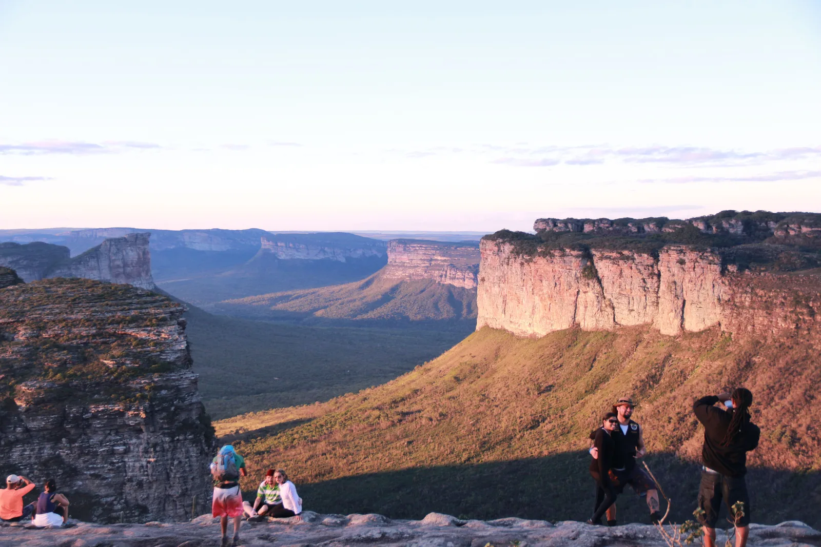
The view from the top of Morro do Pai Inácio: a broad green valley with long flat-topped escarpments running away on both sides 01

The postcard, and it earns it

Morro do Pai Inácio

Height
1,120 m
Climb
About 20 minutes
Entry
R$20, Palmeiras municipal park

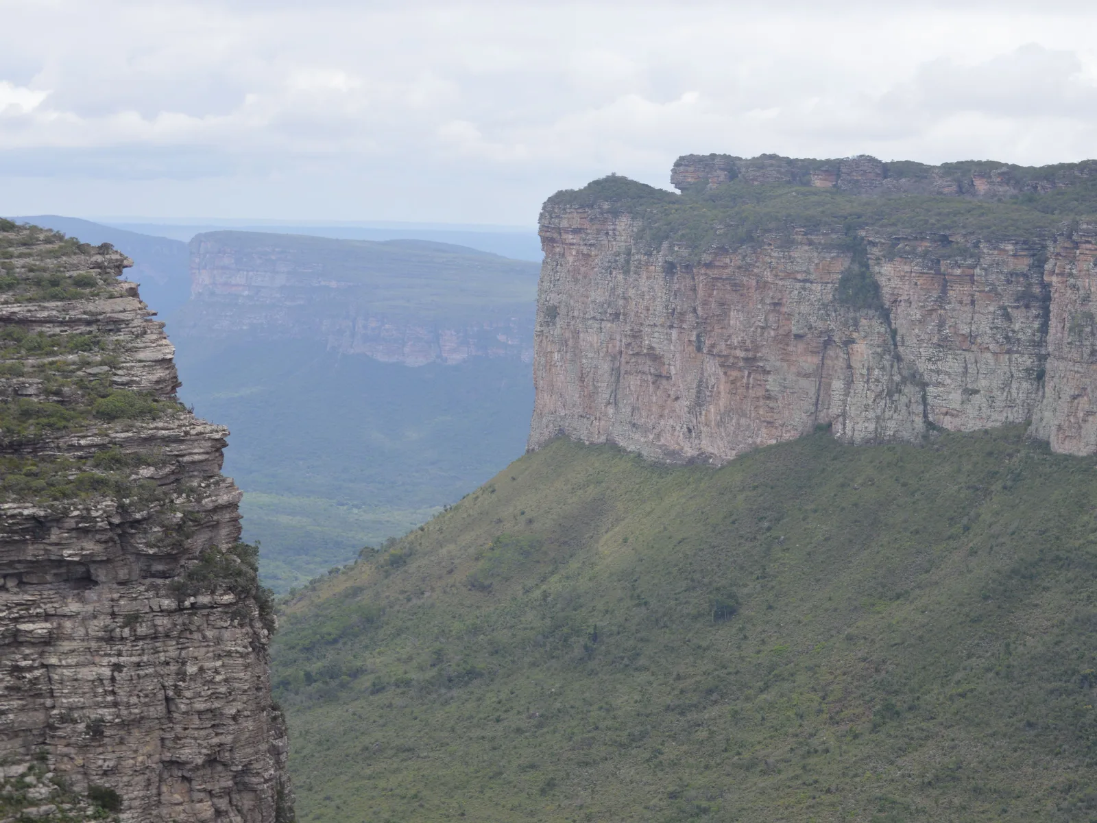
A flat-topped hill standing on its own beside the BR-242, 70 km from Lençóis, the town in Bahia, with a stepped path to the top that takes about twenty minutes and asks nothing of anybody. From the summit the Serra do Sincorá opens out on three sides: the Morro do Camelo across the valley, a long line of mesas stepping away west, and the road running through the middle of it like a thread. Almost every photograph you have seen of this region was taken from up here.

It is also the region’s one reliable sunset ritual. People arrive an hour before, spread out across the top — it is broad enough that it never feels crowded — and watch the light move along the escarpments. Palmeiras runs it as a municipal park and raised the fee to R$20 in April 2026; the money is supposed to go back into the paths and the guardhouse.
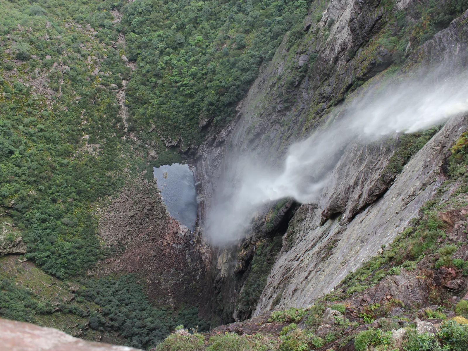
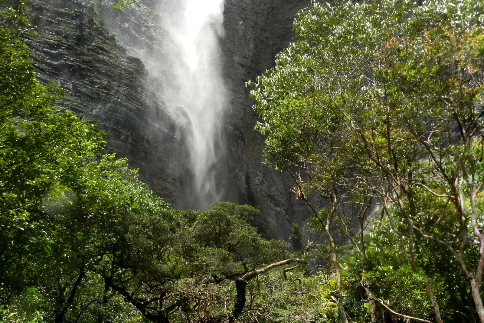
Cachoeira da Fumaça seen straight down from the clifftop, the water blowing out into spray against a gray rock wall on the right, the wooded canyon floor far below 02

Reached from Vale do Capão, not from the town

Cachoeira da Fumaça

Drop
340 m
Trailhead
Vale do Capão
Clifftop trail
12 km round trip, 4–6 hours

A river arrives at the lip of a canyon and falls for 340 meters, and on most days it never lands. The updraft coming out of the valley catches the water partway down and blows it back as vapor, which is where the name comes from — fumaça is smoke. Published heights run as high as 420 m and ICMBio’s own visitor page says about 380; 340 m is the figure from the Projeto Cachoeiras Gigantes survey and the one most sources use.
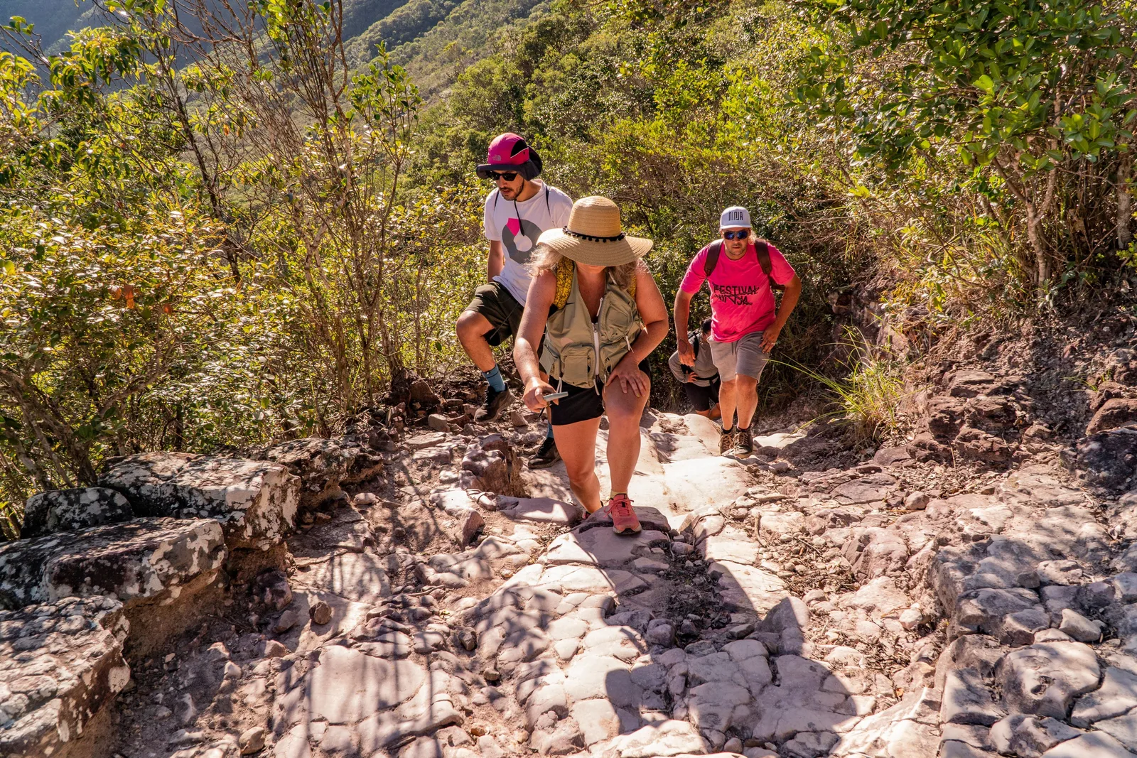
Getting this wrong is the standard error in writing about this park, so plainly: the trail to the top starts at Vale do Capão, not at Lençóis, the town in Bahia. It is about 12 km there and back, four to six hours, and the first two kilometers up onto the plateau are steep and rough; after that it flattens into open rock and cerrado. You finish lying on your front at the edge of the drop, looking straight down the fall. Reaching the base is a different proposition entirely — a three-day traverse, described further down this page.

How much water is in it depends entirely on the month. At the end of a long dry season the fall can reduce to a thread of spray that the wind takes before it clears the lip; after rain it is a column. Both are worth the walk, and they are not the same experience.

A green valley floor in the Chapada Diamantina with a footpath winding through it between long flat-topped escarpments 03

A walk, not a day trip

Vale do Pati

Length
3–5 days, 40–70 km
Sleeping
In residents’ houses
Access
Guided, from Guiné or Capão

A high valley in the middle of the national park, ringed by escarpments, reached only on foot, and widely called the best trek in Brazil — a thing Brazilian hikers say about it often enough that it is a fair description of the reputation rather than a claim about the walk. Around fourteen families still live in it, descendants of the flower-gatherers and prospectors who stayed, and they take walkers in: you sleep in somebody’s spare room and eat what the house is eating.

The standard versions are three days as a circuit or five days point to point, entering from the Aleixo trailhead at Guiné or from Vale do Capão and coming out at Andaraí, with 15 to 25 km on your feet each day. The set pieces are the climb up Morro do Castelo, the Cachoeirão — a wall down which twenty-odd separate streams fall after rain — and the Funis and Altina waterfalls.

It is not a day activity and no honest itinerary treats it as one. It is booked with a guide, the houses are arranged in advance, and river crossings on the route are the part that changes with the weather. Add it to the front or back of the trip below, or come back for it.

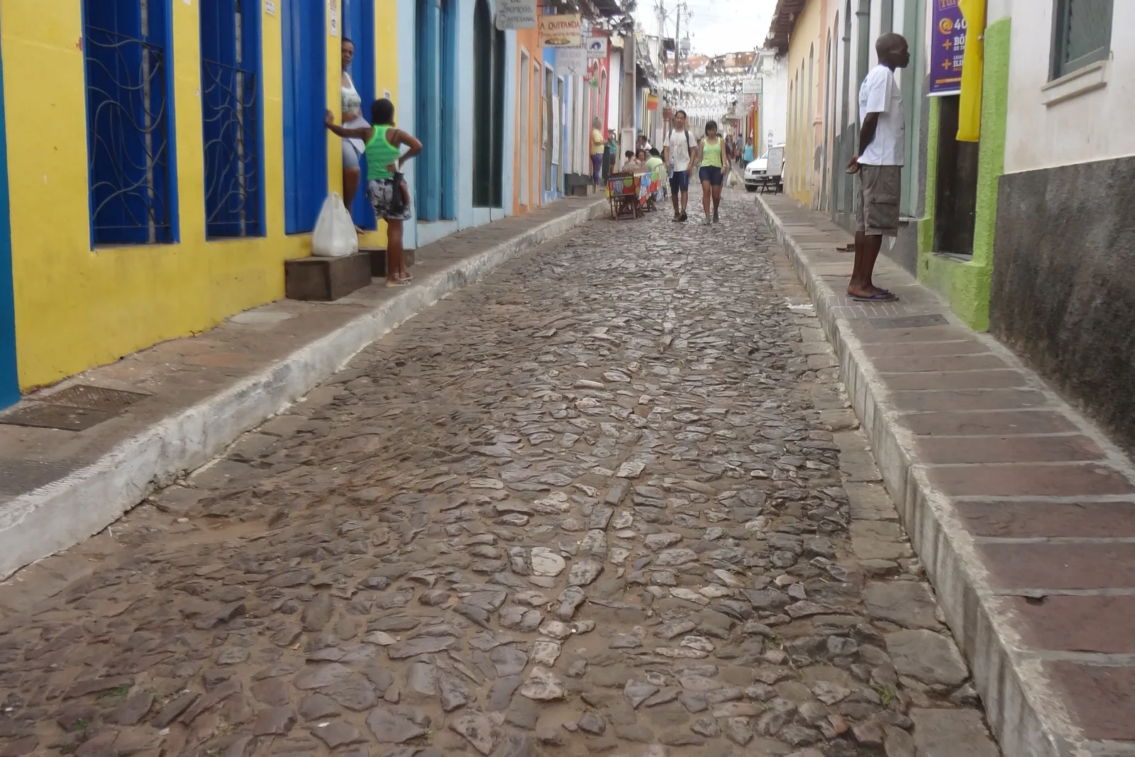
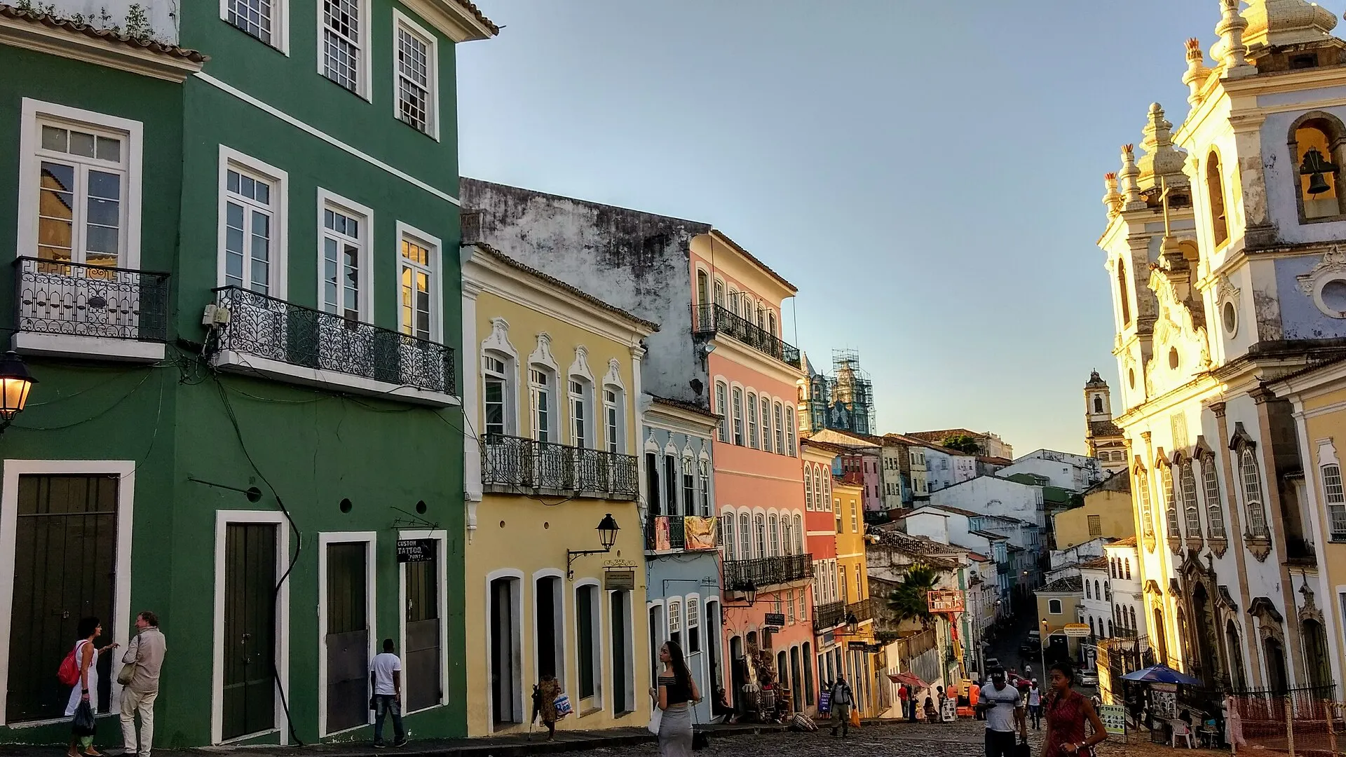
A cobbled street in Lençóis, the town in Bahia, lined with painted shopfronts, awnings and café tables 04

The town in Bahia, not the dunes in Maranhão

Lençóis

Founded
Diamond rush, 1845
Listed
IPHAN, 1973
Elevation
394 m

This is where almost everyone arrives, and it is the reason a national park in the middle of Bahia has good coffee. Diamonds were found in the river here in 1845, and between then and 1871 this small town in the Bahian interior was the largest diamond producer on earth — enough of an export house that France put a vice-consulate in it to handle the trade. What the rush left behind is a town of 19th-century houses in colors that should not work together, cobbled lanes running down to the river, and a name: the miners’ white canvas tents looked like bedsheets spread out on the slope.

Do not confuse it with the Lençóis Maranhenses. That is a field of white dunes and rain-fed lagoons in Maranhão, 1,500 km north, with its own page on this site and nothing whatever to do with this one beyond the word.

What makes the town useful is that some of the best short walks start at the end of its streets. The Serrano rock pools, the Salão de Areias Coloridas and the natural rock slide at Ribeirão do Meio are all within an hour on foot, which means a day here does not have to involve a vehicle at all.

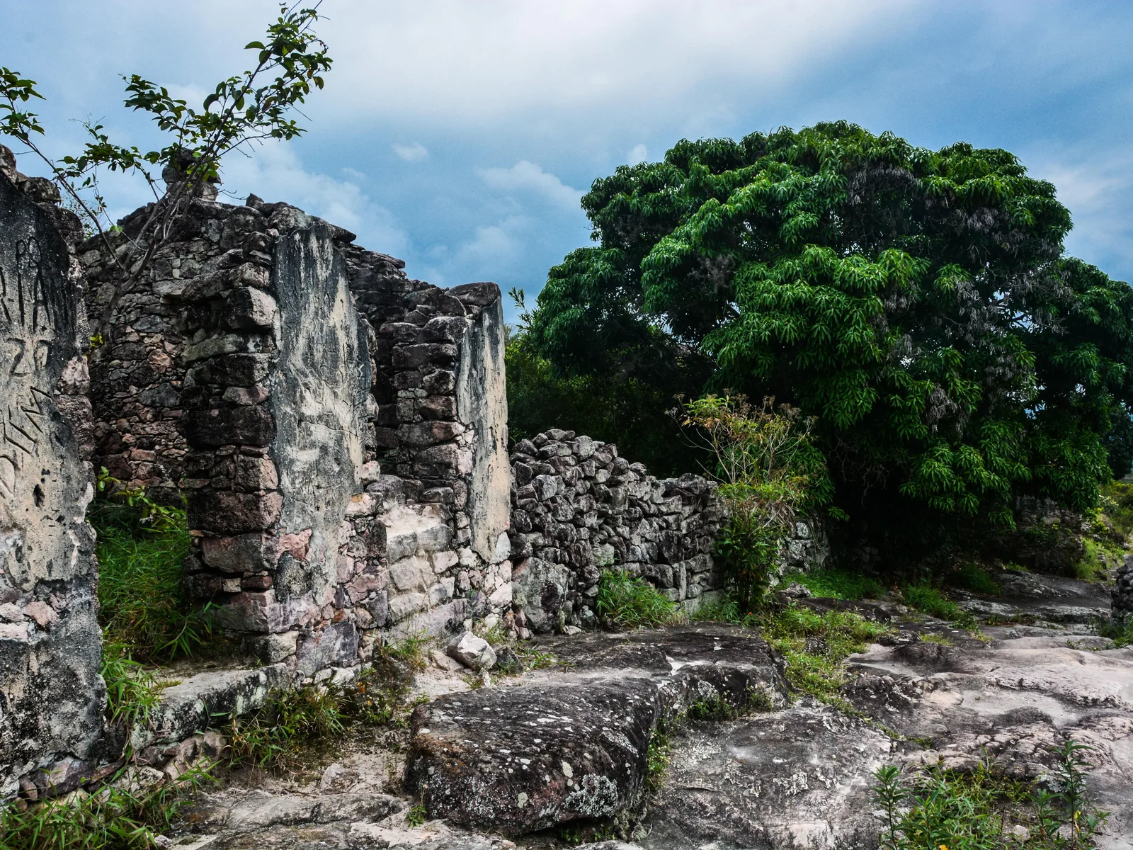
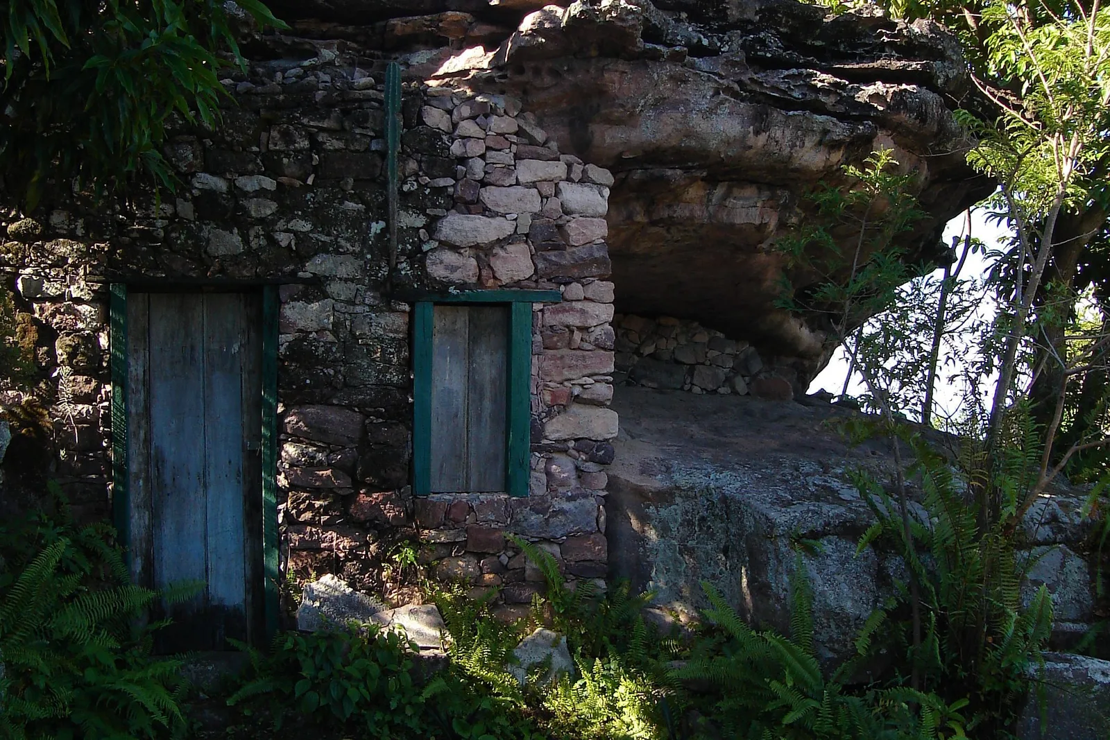
A roofless building of dry-laid stone at Igatu with a tree growing up beside it under broken cloud 05

What the diamonds left

Igatu

Where
Above Andaraí, 12 km
What’s there
Stone ruins and a stone village
Worth
Half a day, or a night

A village on a rock shelf above the Rio Paraguaçu, built entirely out of dry-laid stone slabs during the diamond years and then largely abandoned when the stones ran out. What remains is a small living settlement of stone houses and a stone church, and around it several hectares of roofless ruins with trees growing through them, kept as a heritage site. The whole architectural ensemble is federally listed.

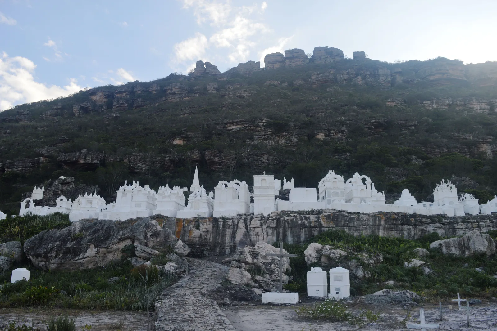
It is the clearest place in the region to understand what the 19th century actually did here. The walls are the walls the garimpeiros built; the paths between them are the paths they walked to the workings. Twelve kilometers down the hill, Andaraí is the ordinary working town Igatu never became, and forty kilometers further on, Mucugê has the Byzantine-styled cemetery that is the other great oddity of the mining era.

What to actually do

Five kinds of day.

A day here is a walking day, a swimming day, a cave day or a town day — and then there are the walks that take three days and are the reason serious hikers come at all. Pick a shape, then scroll sideways through it.

Hikes & views

  • Visitors standing and sitting on the summit of Morro do Pai Inácio, photographing a broad red-lit mesa across the valley

    Palmeiras · 2 hours

    Sunset at Morro do Pai Inácio

    The easiest big view in the region and the one nobody skips. Twenty minutes of stepped path from the parking lot at the foot of the hill puts you on a broad summit at 1,120 meters with the Serra do Sincorá laid out on three sides. Go for the last hour of light, when the sun comes down the line of the escarpments and the Morro do Camelo across the valley turns orange. R$20 to the Palmeiras municipal park.

  • Four walkers, one in a straw sun hat and two in caps, on a rocky path through low scrub on the trail to Cachoeira da Fumaça

    Vale do Capão · 4–6 hours

    The clifftop trail at Cachoeira da Fumaça

    Twelve kilometers there and back from the edge of Vale do Capão, with the work concentrated in the first two: a steep scramble up onto the plateau, and then open rock, cerrado and easy walking to the lip of the fall. You finish flat on your stomach looking 340 meters down. Take a guide, take more water than you want to carry, and start early — there is no shade on the top at all.

  • A round pool of dark tea-colored water scoured into orange-stained bedrock at the Serrano, beside Lençóis in Bahia

    Lençóis, in Bahia · 2–3 hours

    Walking to the Serrano pools

    Ten minutes from the square in Lençóis, the town in Bahia, the Rio Lençóis runs across a sheet of bare rock and has scoured a chain of round pools — caldeirões — into it. You can walk up the riverbed from town, swim in whichever one takes you, and carry on to the Salão de Areias Coloridas, a hollow of soft sandstone in half a dozen colors that miners once quarried for colored sand. No vehicle, no ticket, no guide strictly needed.

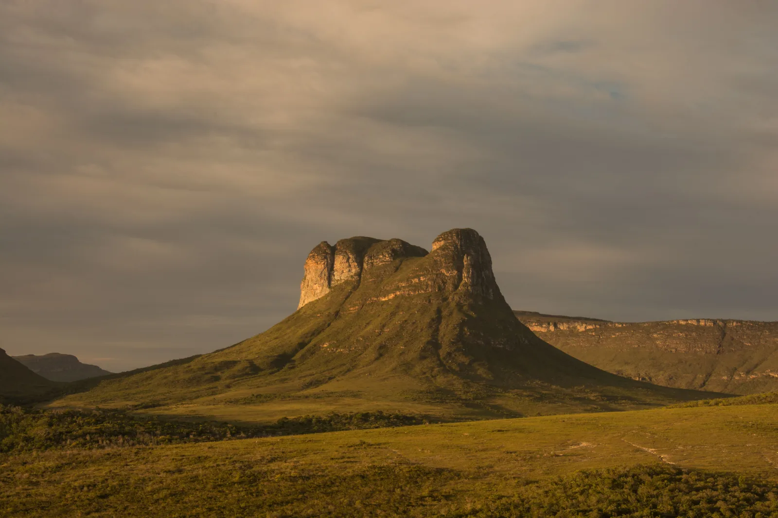
  • The flat-topped cone of the Morrão standing above dry grassland, its face lit gold under a heavy sky

    Vale do Capão · full day

    The climb up the Morrão

    The great flat-topped cone standing over the Vale do Capão, and the serious walk of the region’s day hikes. It is one of the icons of the Chapada skyline and one of its least-visited summits, for the good reason that the route up is steep, unmarked and considerably harder than the Fumaça trail. Guides in Capão run it as a full day and you should take one; the view back down over the valley and across to Pai Inácio is the payment.

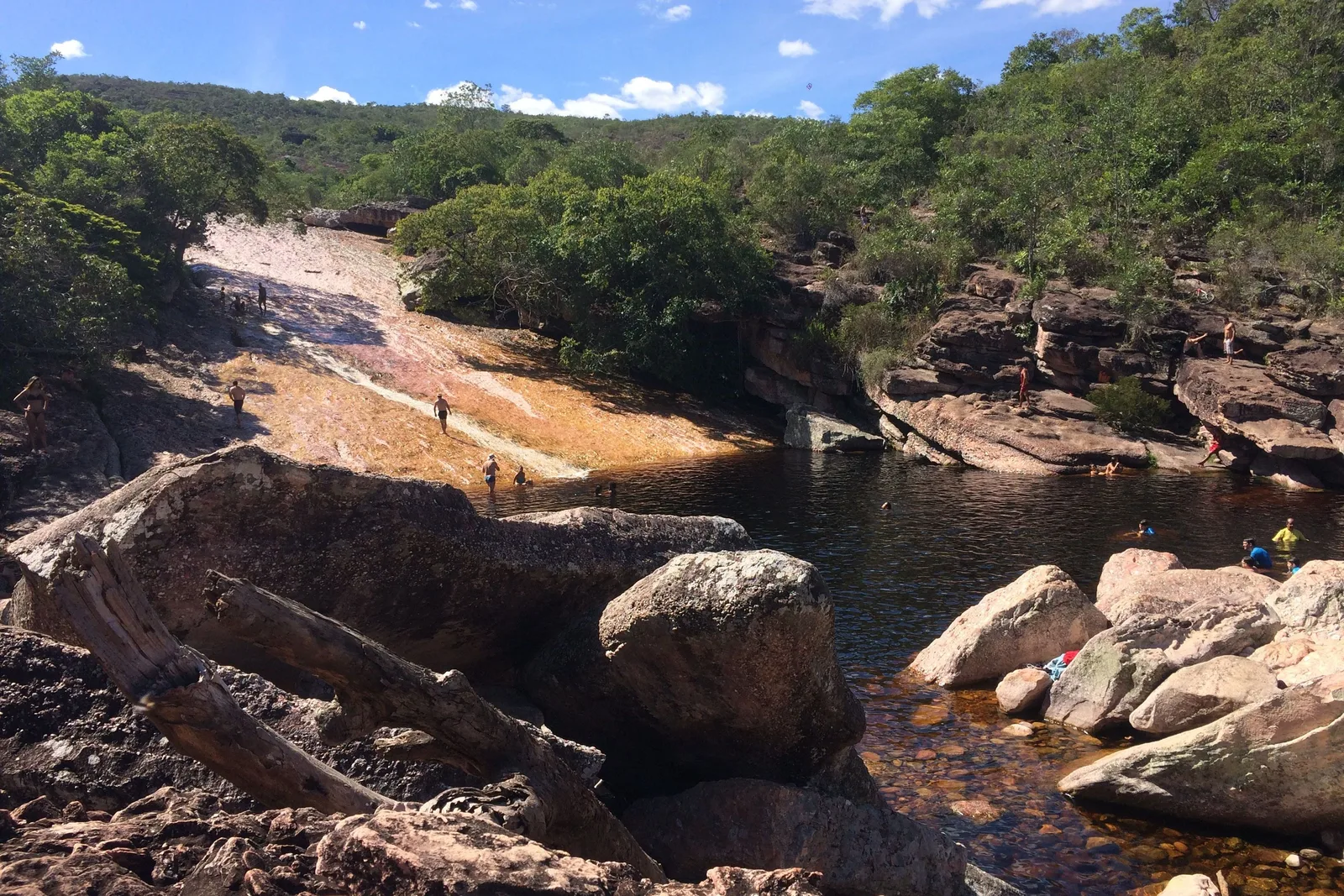
  • The river at Ribeirão do Meio running down a broad slope of smooth pale rock into a dark pool among boulders, with people small at the top of it

    Lençóis · half day

    The rock slide at Ribeirão do Meio

    About 3.5 km on an easy trail from the middle of Lençóis, the town in Bahia, to a long slab of water-polished rock that the river has turned into a natural slide, ending in a deep pool. People sit at the top and go down it on their backsides all afternoon. It is the region’s most relaxed half-day and the one thing here that works with no guide, no ticket and no car.

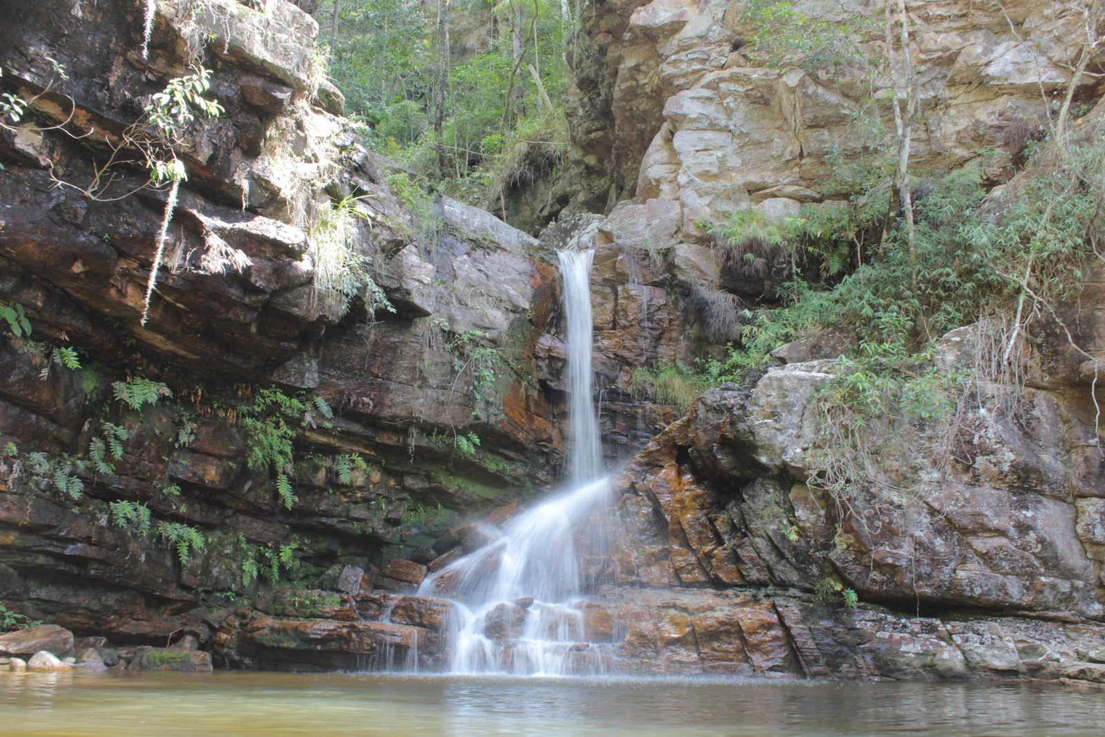
  • A waterfall falling down a mossy rock face into a pool, framed by dense green forest

    Vale do Capão · half to full day

    The waterfalls above Vale do Capão

    The valley behind the village is a staircase of falls and pools — the Cachoeira da Purificação, the Angélica, the Riachinho — strung along trails that leave from the settlements above the main street. Most are an hour or two of walking each, they are far quieter than the headline attractions, and you can put two or three together into a day that never involves a car.

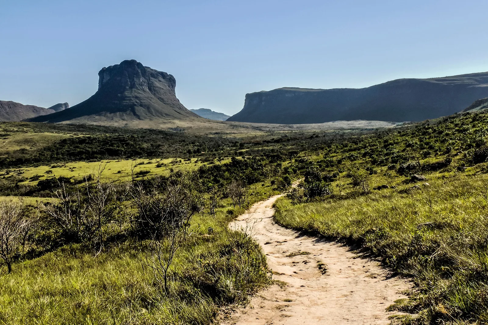
  • A sandy footpath curving through low green upland vegetation toward a blunt peak and a long flat-topped ridge

    Guided · 2 days

    The Pai Inácio to Capão crossing

    The short traverse, and the one to take if a five-day trek is more than the trip has room for. You start near Morro do Pai Inácio, cross the high open ground of the Gerais with the mesas on either side, sleep out or in a house, and drop into Vale do Capão the next day. Two days, real remoteness, and no need to carry a week of food.

Waterfalls & swimming

  • A round pool of dark tea-colored water scoured into orange-stained bedrock at the Serrano, beside Lençóis in Bahia

    Lençóis, in Bahia · 2–3 hours

    Walking to the Serrano pools

    Ten minutes from the square in Lençóis, the town in Bahia, the Rio Lençóis runs across a sheet of bare rock and has scoured a chain of round pools — caldeirões — into it. You can walk up the riverbed from town, swim in whichever one takes you, and carry on to the Salão de Areias Coloridas, a hollow of soft sandstone in half a dozen colors that miners once quarried for colored sand. No vehicle, no ticket, no guide strictly needed.

  • The river at Ribeirão do Meio running down a broad slope of smooth pale rock into a dark pool among boulders, with people small at the top of it

    Lençóis · half day

    The rock slide at Ribeirão do Meio

    About 3.5 km on an easy trail from the middle of Lençóis, the town in Bahia, to a long slab of water-polished rock that the river has turned into a natural slide, ending in a deep pool. People sit at the top and go down it on their backsides all afternoon. It is the region’s most relaxed half-day and the one thing here that works with no guide, no ticket and no car.

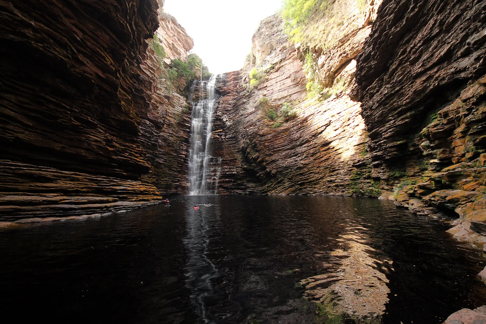
  • A tall waterfall dropping into a still dark pool at the head of a narrow canyon of banded rock

    Ibicoara · full day

    Swimming under Cachoeira do Buracão

    An 85-meter fall dropping into a circular canyon of banded rock, and the approach is the point: the last stretch is a swim through a slot in the walls in a life jacket, with the noise ahead of you and the sky a strip overhead. A guide from Ibicoara is mandatory, the vests are not optional, and the canyon is closed when there is rain upstream. It is a long day from anywhere — count on a full one out of Mucugê and more from Lençóis.

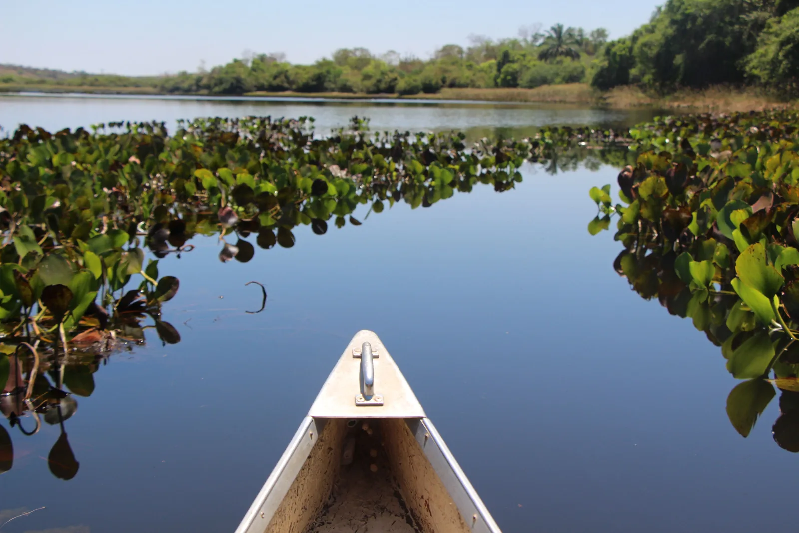
  • The bow of an aluminum canoe pushing through floating rafts of water hyacinth on flat still water in the Marimbus wetland

    Between Lençóis and Andaraí · half day

    Canoeing the Marimbus

    A freshwater wetland on the floor of the valley — locals call it the Pantanal of the Chapada — reached from the quilombola community of Remanso about 20 km from Lençóis, the town in Bahia. You go out in a canoe paddled by someone from the village, through channels of water lilies and flooded grass to the Rio Roncador, with herons, kingfishers and caiman in the reeds. It is the flat, quiet counterweight to a week of climbing.

  • A waterfall falling down a mossy rock face into a pool, framed by dense green forest

    Vale do Capão · half to full day

    The waterfalls above Vale do Capão

    The valley behind the village is a staircase of falls and pools — the Cachoeira da Purificação, the Angélica, the Riachinho — strung along trails that leave from the settlements above the main street. Most are an hour or two of walking each, they are far quieter than the headline attractions, and you can put two or three together into a day that never involves a car.

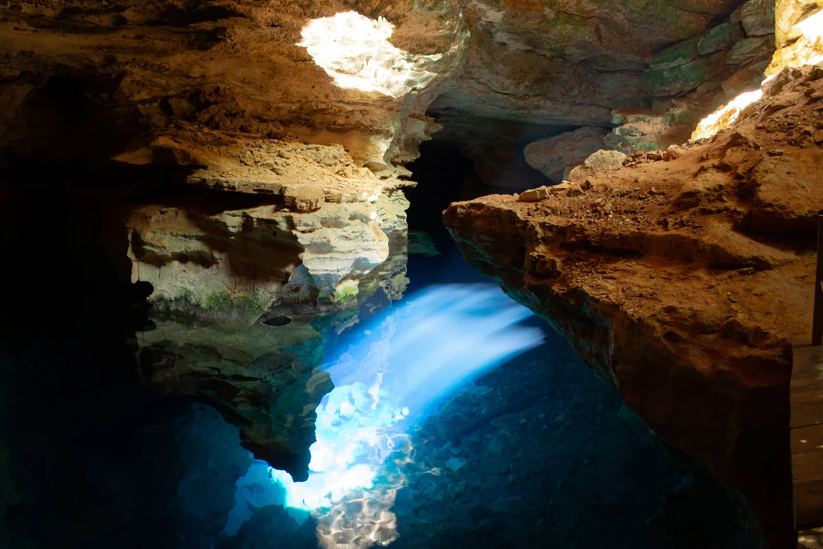
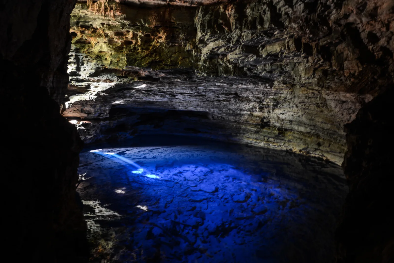
  • A shaft of daylight coming through the roof of a flooded cave and turning the water below it a vivid blue

    Nova Redenção · 86 km from Lençóis

    Floating in Poço Azul

    A flooded cave chamber 40 meters long and more than 15 deep, entered down a stair, where the water is so clear you can see the fallen rock on the floor. Between roughly 25 February and 25 October, from about 12:30pm to 2:20pm, a shaft of sunlight comes through the roof and turns the whole pool electric blue. You float in a life vest, R$70 including the gear, and you do not swim, because kicking lifts sediment. Fossils of giant ground sloths were pulled out of the bottom here in 2005.

  • Clear turquoise water in the shallow pool at the mouth of the Pratinha cave, under a pale overhanging rock roof

    Iraquara · 70 km from Lençóis

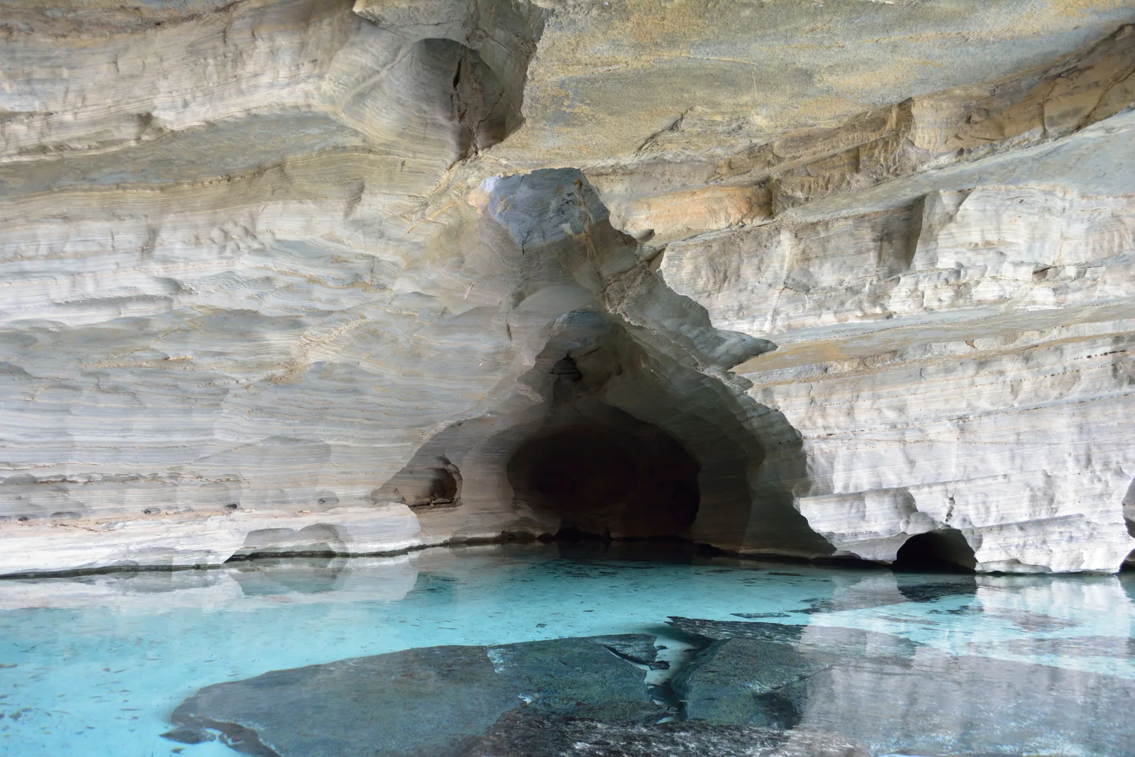
    Snorkeling at Pratinha and Gruta Azul

    A river running straight out of a cave mouth into a shallow, absurdly clear pool with fish in it, on a private farm beside the road between the two big caves. You snorkel from the cave mouth out into the daylight, and Gruta Azul next door does its own light trick when the sun is right. It is the commercial end of the region — kayaks, zip line, a bar — and it is also the easiest place here to put a snorkel on.

Caves & blue water

  • A shaft of daylight coming through the roof of a flooded cave and turning the water below it a vivid blue

    Nova Redenção · 86 km from Lençóis

    Floating in Poço Azul

    A flooded cave chamber 40 meters long and more than 15 deep, entered down a stair, where the water is so clear you can see the fallen rock on the floor. Between roughly 25 February and 25 October, from about 12:30pm to 2:20pm, a shaft of sunlight comes through the roof and turns the whole pool electric blue. You float in a life vest, R$70 including the gear, and you do not swim, because kicking lifts sediment. Fossils of giant ground sloths were pulled out of the bottom here in 2005.

  • The deep blue lit water of Poço Encantado filling the floor of a dark cave chamber

    Itaetê · 141 km from Lençóis

    Looking into Poço Encantado

    The bigger, deeper and stricter of the two — a chamber 98 meters long and 49 wide with water 20 to 60 meters deep, and nobody is allowed in it. From about 1 April to 10 September, between roughly 10:00am and 1:30pm, the sun reaches through a gap in the rock and lights the whole pool from beneath. You stand on a platform and look. It is a long drive for a viewpoint, which is why it is almost always sold together with Poço Azul as one day.

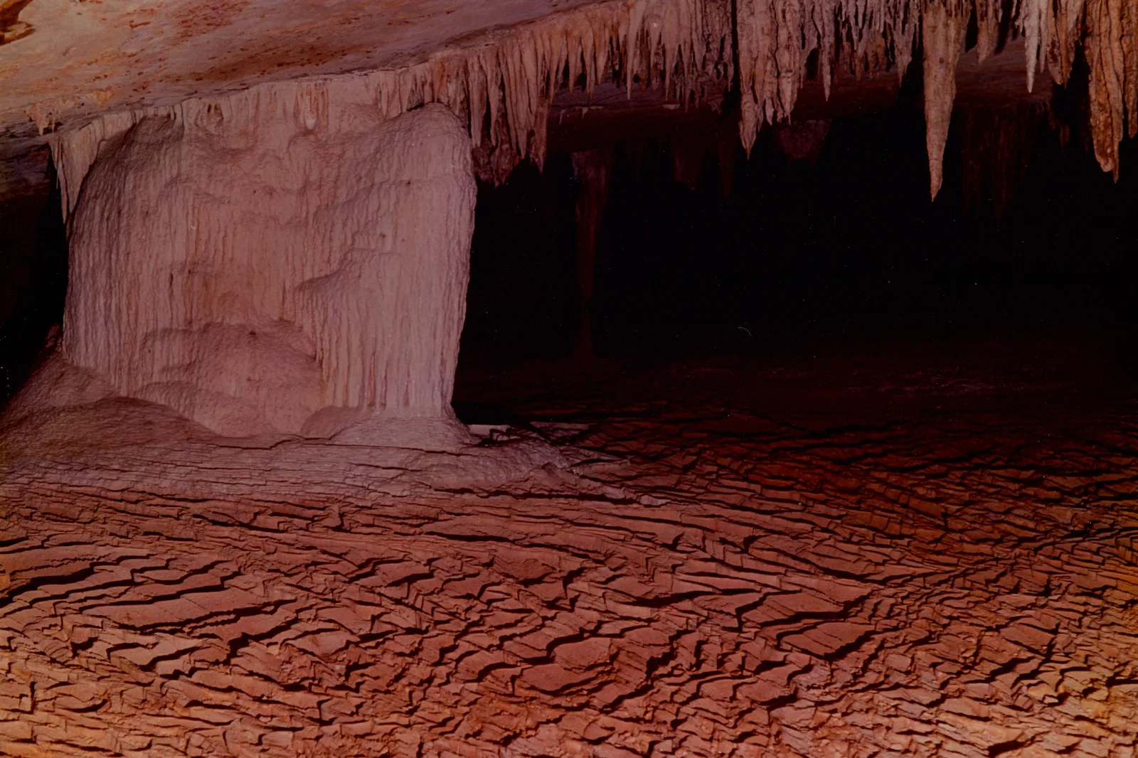
  • A vast cave gallery lit red-orange, stalactites hanging from the roof and a floor of cracked dried mud below

    Iraquara · 68 km from Lençóis

    Walking through Gruta da Lapa Doce

    One of the longest surveyed cave systems in Brazil, with around 42 km mapped, of which the visit uses a fraction: in through a wide natural portico, then most of a kilometer of dry gallery big enough to lose a church in, past columns, curtains and one formation everyone calls the chandelier. Lights and a guide are provided, entry is R$40, and it is comfortable walking rather than caving.

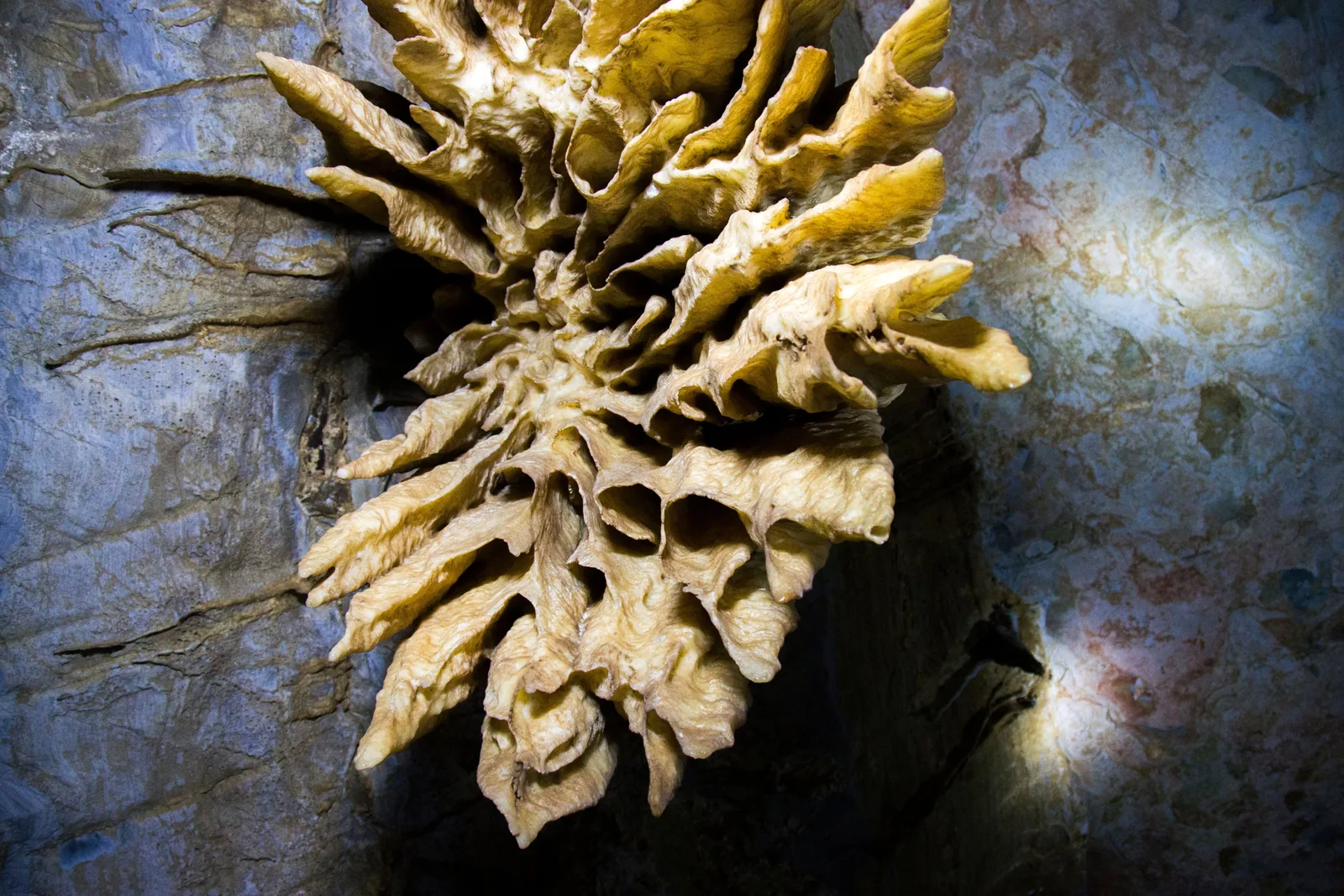
  • A rare cave formation like a many-petaled yellow-white flower growing sideways out of the rock at Gruta da Torrinha

    Iraquara · 65 km from Lençóis

    The formations at Gruta da Torrinha

    Fifteen kilometers from the Lapa Doce and completely different in character. Torrinha is not about scale — it is about the rarity of what has grown in it, including aragonite flowers and helictites that curl sideways against gravity, some of the finest anywhere. The longer of the guided routes covers about 2 km underground. Pair it with the Lapa Doce and Pratinha in one western day.

  • Clear turquoise water in the shallow pool at the mouth of the Pratinha cave, under a pale overhanging rock roof

    Iraquara · 70 km from Lençóis

    Snorkeling at Pratinha and Gruta Azul

    A river running straight out of a cave mouth into a shallow, absurdly clear pool with fish in it, on a private farm beside the road between the two big caves. You snorkel from the cave mouth out into the daylight, and Gruta Azul next door does its own light trick when the sun is right. It is the commercial end of the region — kayaks, zip line, a bar — and it is also the easiest place here to put a snorkel on.

Towns & mining history

  • People walking up a cobbled street in Lençóis, the town in Bahia, between houses painted yellow, blue and green

    Lençóis · 2 hours

    Walking old Lençóis

    The historic core of Lençóis, the town in Bahia, is small enough to cross in ten minutes and worth an unhurried two hours: the public market down by the river, the Senhor dos Passos church, the house that served as the French vice-consulate when the diamonds went straight to Europe, and street after street of painted 19th-century houses. IPHAN listed the whole ensemble in 1973, 570 buildings of it. Evenings are the good part, when the square fills up and the restaurants put tables out.

  • A stone house at Igatu with two weathered blue-green doors, built up against a rock outcrop with vegetation growing over it

    Andaraí · half day

    The stone ruins at Igatu

    A hilltop village built entirely of dry-laid stone during the diamond years, half of it now roofless and overgrown and kept as a heritage site. You walk the lanes between standing walls with trees coming up through them, past a stone church and a handful of houses that are still lived in. There are galleries and a couple of good places to eat up there now, which is the reason a few people stay the night rather than driving back down.

  • Rows of white pinnacled tombs spread along a rocky slope at the Santa Isabel cemetery in Mucugê, a bare stone ridge behind them

    Mucugê · half day

    Mucugê and its Byzantine cemetery

    The oldest of the mining towns — the first diamonds in the region came out of the Rio Mucugê in 1844 — and the site of the region’s strangest thing to look at. The Santa Isabel cemetery, begun in 1854, is a hillside of white tombs built in a pinnacled style everyone calls Byzantine, stacked against a backdrop of green mountain. In the town below, the Parque Municipal do Mucugê protects the sempre-viva, the everlasting flower stripped out of these hills for the dried-flower trade, and runs a small museum of the mining years.

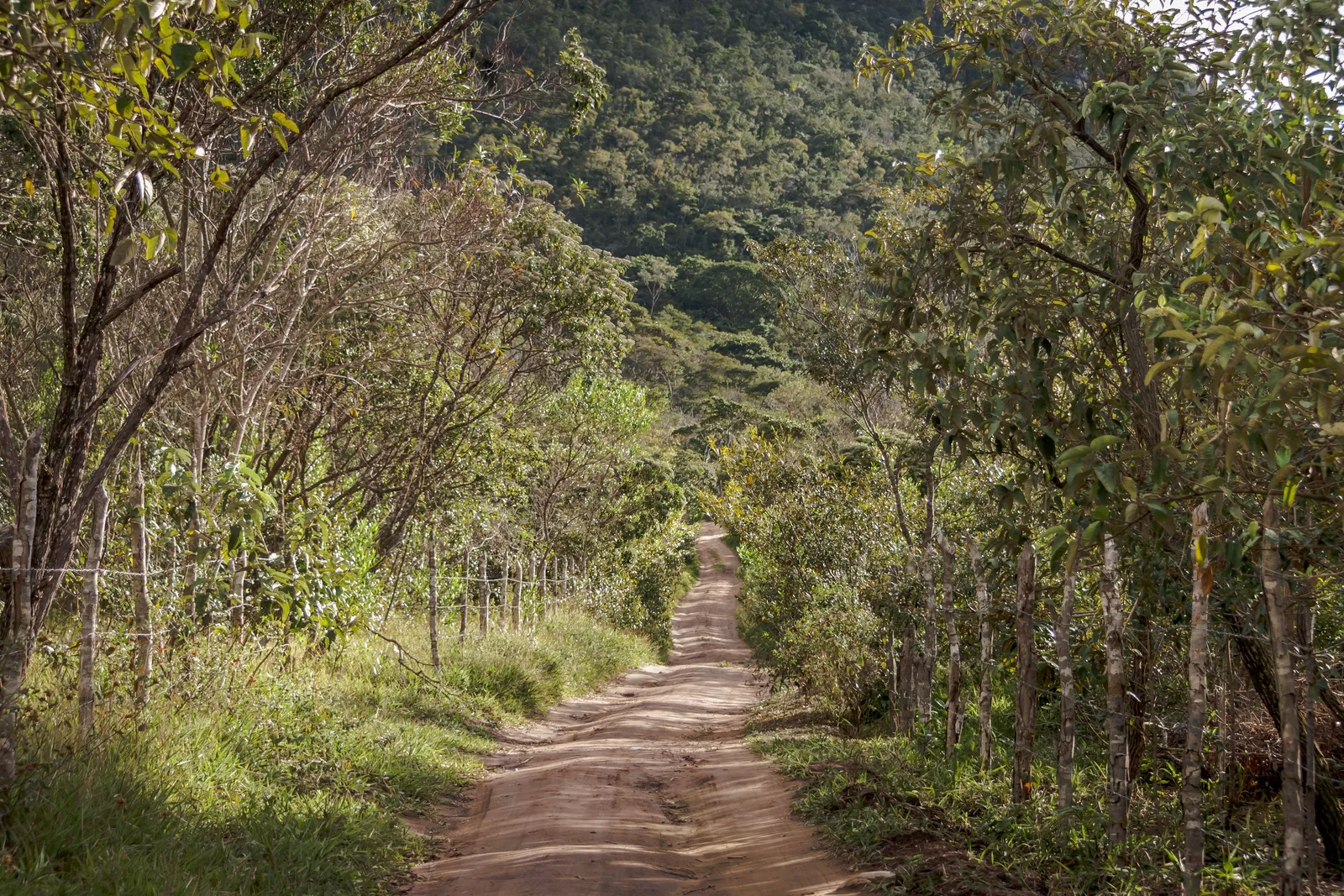
  • A red dirt road running between trees and rough grass in the Vale do Capão

    Caeté-Açu, Palmeiras · any day

    A day in Vale do Capão

    The village at the trailhead end is worth a day in its own right, and it is unlike anywhere else in the region: a counterculture settlement of some fifty years’ standing, with vegetarian kitchens, a Saturday craft fair, yoga and capoeira on the noticeboards, and a population that walked in and stayed. Officially it is Caeté-Açu, a district of Palmeiras. Practically it is where you go when you want the trails to start at the end of the street.

Multi-day treks

  • A small turquoise-painted house standing on the floor of the Vale do Pati with a wooded escarpment rising behind it

    Guided · 3–5 days, 40–70 km

    The Vale do Pati traverse

    The walk people come to Brazil for. Three days as a circuit or five point to point, in from Guiné or Vale do Capão and out at Andaraí, 15 to 25 km a day, sleeping in the houses of the fourteen or so families still living in the valley and eating at their tables. Morro do Castelo, the Cachoeirão and the Funis are the set pieces. Booked with a guide months ahead in high season — around R$2,220 a head for three days in a pair, everything included.

  • Cachoeira da Fumaça seen from the canyon below, a tall white fall down a dark gray cliff face framed by green

    Guided · 3 days, about 31 km

    The Fumaça from below

    The other way to see the 340-meter fall, and a completely different trip from the clifftop walk: three days and roughly 31 km between Vale do Capão and Lençóis, the town in Bahia, camping and river-crossing your way up the canyon to stand at the bottom of it looking up. It is rated among the harder treks in the country, the direction depends on how much water is in the rivers, and it is not a route to attempt without a guide.

  • A sandy footpath curving through low green upland vegetation toward a blunt peak and a long flat-topped ridge

    Guided · 2 days

    The Pai Inácio to Capão crossing

    The short traverse, and the one to take if a five-day trek is more than the trip has room for. You start near Morro do Pai Inácio, cross the high open ground of the Gerais with the mesas on either side, sleep out or in a house, and drop into Vale do Capão the next day. Two days, real remoteness, and no need to carry a week of food.

Where to stay

Three towns, three different trips.

The region has no single base that reaches everything: these three sit 70 to 130 km apart around the edge of the park and each one opens a different half of it. Two of the three is the normal shape of a week. One of them is where you land.

Drag and zoom to explore.

Tap an area to open it and see it on the map

  • Our pick

    Best for: Arriving, and the caves and blue pools

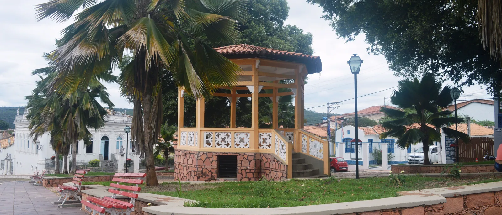
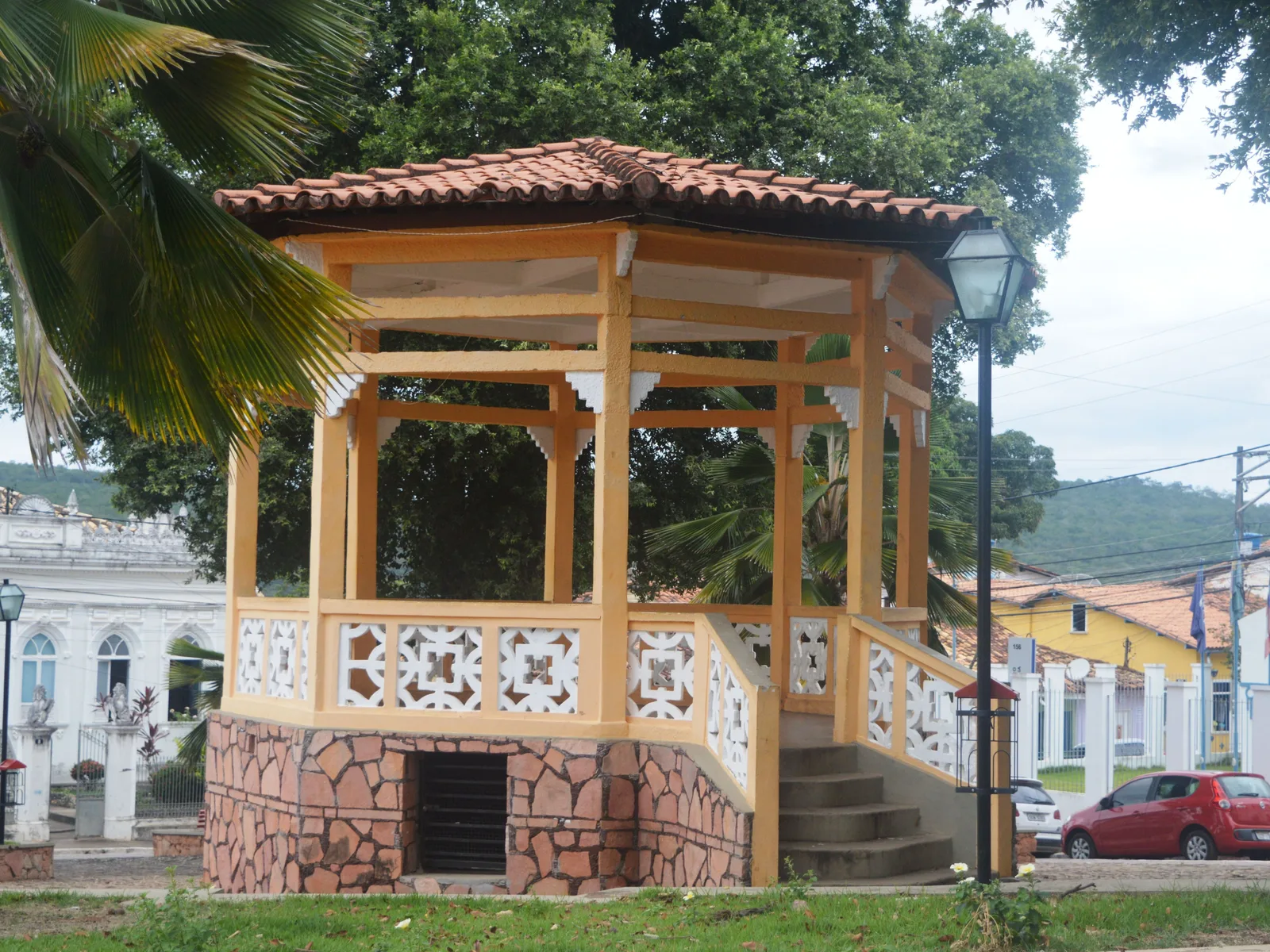
    The public square of Lençóis, the town in Bahia, with its wooden bandstand under tall palms and painted houses along the far side

    The arrival town and the only one with an airport, a bus station, banks and a real choice of pousadas and restaurants. It is also the base for the eastern and western day trips — the Lapa Doce and Torrinha caves, Pratinha, Poço Azul and Poço Encantado — and it has the best short walks of any of the three starting at the end of its own streets: the Serrano pools, the colored sands and the Ribeirão do Meio rock slide. The trade-off is distance: the Fumaça trailhead is two hours away and Mucugê is two and a half.

    • Airport and buses
    • Caves and blue pools
    • Walks from town
    • Most restaurants
  • Best for: Trailheads, and walking out of the door

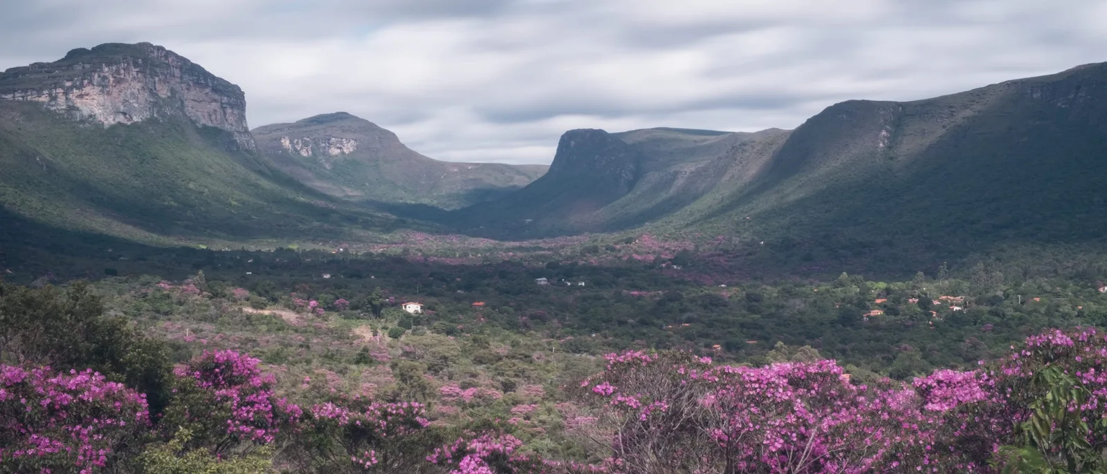
    The Vale do Capão with pink-flowering shrubs in the foreground and the long wall of the escarpment beyond

    Officially Caeté-Açu, a district of Palmeiras, 70 km and about two hours from Lençóis with the last stretch unpaved. This is the walking end of the region: the Cachoeira da Fumaça clifftop trail starts at the edge of the village, the Vale do Pati and the Fumaça-from-below traverses both begin or end here, and a staircase of smaller waterfalls sits in the valley above the main street. It is a counterculture village of fifty years’ standing — vegetarian kitchens, a craft fair, guesthouses rather than hotels — with no bank you should rely on and a very early bedtime.

    • Fumaça trailhead
    • Trek departures
    • Guesthouses
    • Bring cash
  • Best for: The mining history, and the south of the park

    The village of Igatu from above, red-tiled roofs among trees on a rock shelf with open country running away behind

    The southern end, about 130 km from Lençóis: Mucugê, the oldest of the diamond towns and the one with the Byzantine cemetery and the sempre-viva park, and Igatu, a hilltop of dry-stone ruins twelve kilometers above Andaraí. Between them they hold the history the rest of the region has mostly lost, and they are also the closest beds to the Buracão canyon and to the Andaraí end of the Vale do Pati. Fewer rooms, fewer restaurants and much less traffic than the north — this is where the second half of a longer trip goes.

    • Mining history
    • Stone ruins
    • Quietest
    • Closest to the Buracão

A working plan

Five days, three towns, one mountain range.

This is what it takes to see all three bases without spending the week in a car: two nights in Lençóis, the town in Bahia, two in Vale do Capão and one in the south, with the drive back to Salvador on the sixth morning. If you only have three or four nights, keep days 1 to 3 and cut the south — the mining towns are the part that survives being saved for another trip. If you want the Vale do Pati, add three to five days to the front or the back and book it with a guide before you book anything else.
  1. 01
    The wooden bandstand in the square at Lençóis, the town in Bahia, with painted houses and palms behind it

    Salvador → Lençóis

    Into the Chapada

    Six hours west on the BR-242, or the overnight bus, or the twice-weekly flight. Arrive, walk the cobbled streets and the market building before dinner, and get an early night — the good things here start at 7:00am.

  2. 02
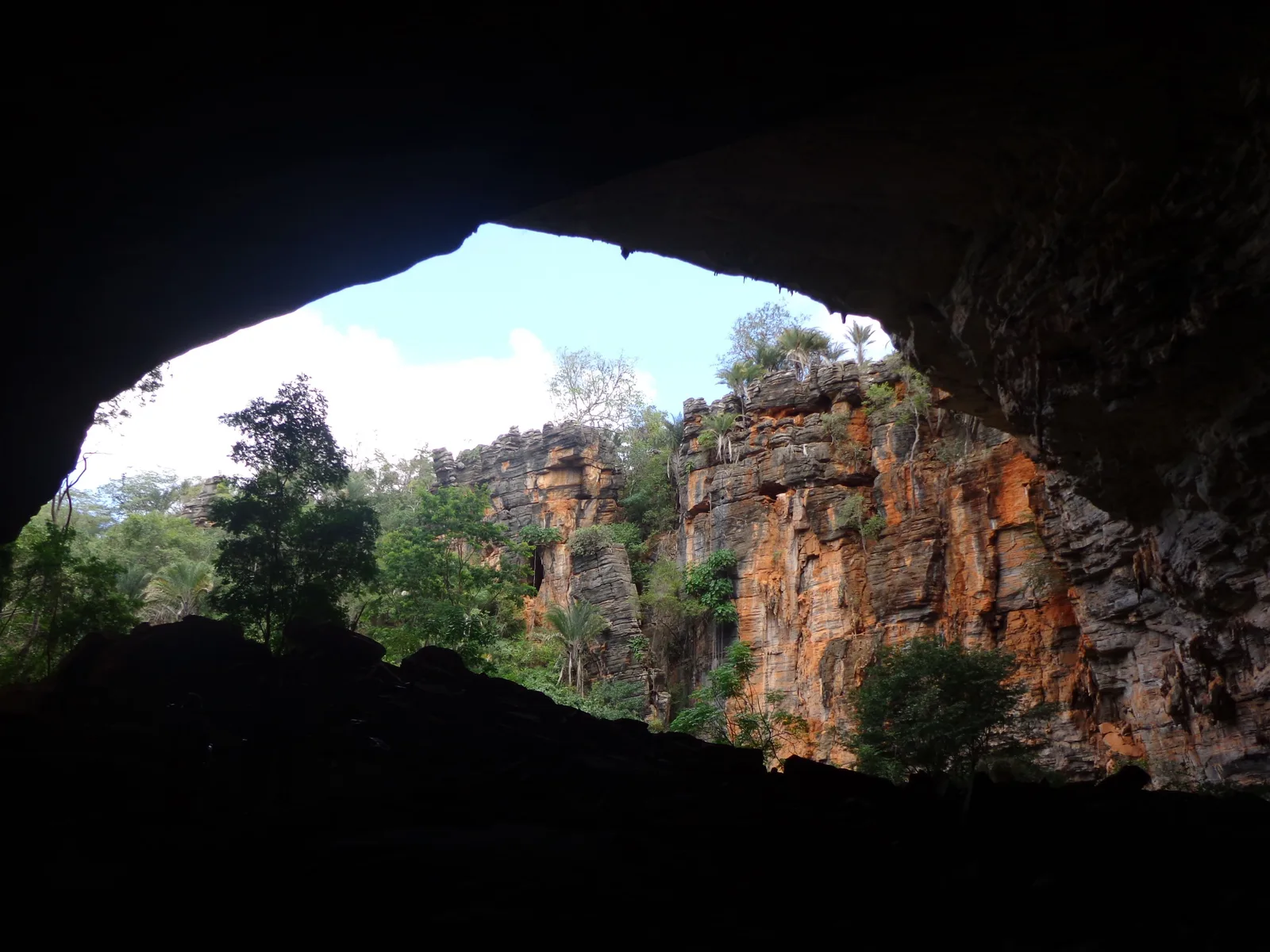
    Looking out of the wide natural mouth of the Lapa Doce cave to a red rock face and trees in daylight

    Iraquara and the western caves

    Caves, and light in the water

    The long western day: the Lapa Doce’s dry galleries, the crystal formations at Torrinha, and a snorkel at Pratinha where a river runs out of a cave mouth. Back to Lençóis for the evening.

  3. 03
    Flat-topped mountains standing across a green valley, seen from the summit of Morro do Pai Inácio

    Lençóis → Palmeiras → Vale do Capão

    Pai Inácio, then over to Capão

    Check out, drive west, climb Morro do Pai Inácio for the view that explains the whole range, then carry on over the ridge to Vale do Capão in the afternoon. Two hours, the last of it unpaved.

  4. 04
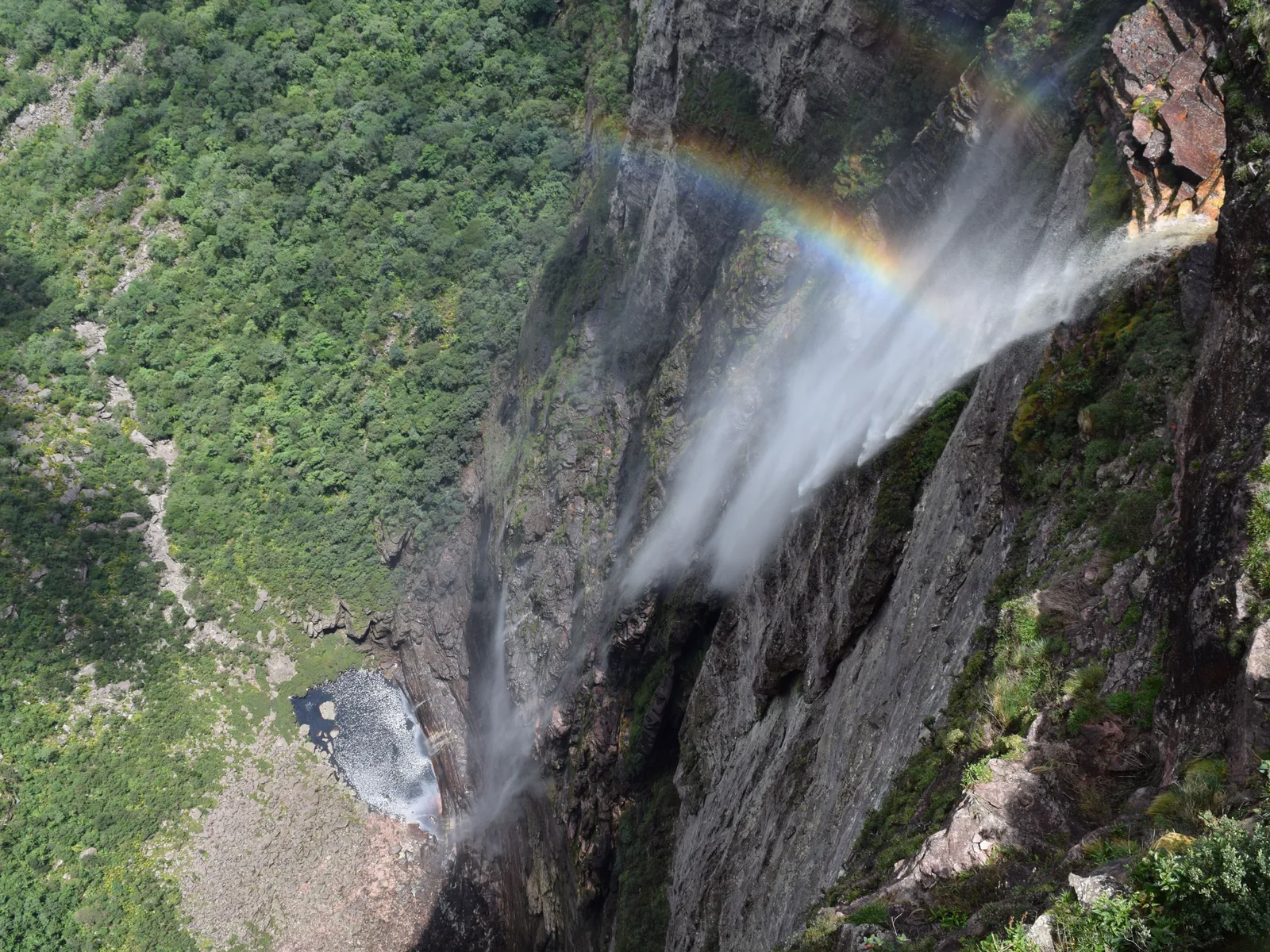
    Looking down Cachoeira da Fumaça from the clifftop, the falling water breaking into spray with a rainbow in it and a small pool far below

    Vale do Capão

    The Fumaça, from above

    Out at first light for the 12 km round trip to the top of the 340-meter fall — steep for two kilometers, then open plateau. Back in the afternoon for one of the valley’s smaller waterfalls, or for doing nothing at all.

  5. 05
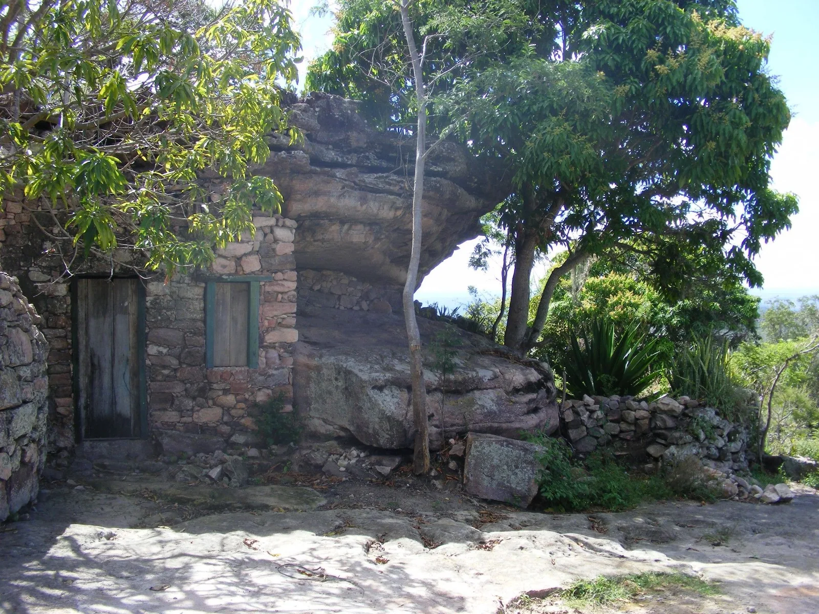
    The Casa na Pedra at Igatu, a stone house roofed by an overhanging boulder, its green door intact, a tree standing in the open ground in front of it

    Vale do Capão → Mucugê → Igatu

    South to the mining towns

    Down the eastern side of the range to Mucugê for the white cemetery and the sempre-viva park, then up the hill to Igatu and its stone ruins in the late light. Sleep there, and drive out to Salvador in the morning.

This is a starting shape, not a fixed departure — we rearrange it around your dates. Have it built for you

Timing

A trade-off, not a season.

Most pages on this site can name a best month. This one has to name a compromise, because the two things people come for want opposite weather. The waterfalls need rain: at the end of a long dry season the Fumaça can thin to a wisp of spray. The trails need it not to rain: the same water that fills the falls turns the river crossings on the Vale do Pati into a decision and the slot canyons into somewhere you should not be. May to September is the answer most of the time, and the reason November to March is marked as a trade-off rather than a bad month is that it is genuinely the more spectacular half of the year to look at — just not the safer one to walk in.

How hot, how wet and how good each month is in the Chapada Diamantina. Choose a month for its average air temperature, rainfall and what the water is doing then.

January

Trade-offs
Air
20–32°C 68–90°F
UV
10 Very high
Rain
8 days 133 mm / 5.2 in

Hot, green and wet on eight days. Waterfalls strong, trails slippery, and the Festa do Senhor dos Passos fills the town from the 23rd.

February

Trade-offs
Air
21–32°C 70–90°F
UV
11 Extreme
Rain
8 days 94 mm / 3.7 in

The warmest month, and a real dip in the rain — the summer break that Bahia calls the veranico. Still a trade-off month for hiking.

March

Trade-offs
Air
21–31°C 70–88°F
UV
11 Extreme
Rain
10 days 164 mm / 6.5 in

The wettest month of the year by volume. Spectacular water everywhere and the worst of it for canyons and river crossings.

April

Good
Air
20–30°C 68–86°F
UV
9 Very high
Rain
10 days 114 mm / 4.5 in

Rain on ten days but easing in volume, and the falls still full. The compromise month, and the last one with the waterfalls at their best.

May

Good
Air
19–28°C 66–82°F
UV
7 High
Rain
8 days 63 mm / 2.5 in

The dry season opens. Days in the high twenties, rivers still carrying water, trails firm. One of the best all-round months.

June

Good
Air
18–27°C 64–81°F
UV
6 High
Rain
8 days 56 mm / 2.2 in

Mild days, cold nights, water still in the falls. Festa Junina fills the interior towns, and this is the classic trekking month.

July

Best
Air
17–27°C 63–81°F
UV
6 High
Rain
7 days 42 mm / 1.7 in

The coolest month of the year — 17°C nights in town, colder at altitude. Excellent walking, and Brazilian school holidays fill the pousadas.

August

Good
Air
17–27°C 63–81°F
UV
8 Very high
Rain
6 days 40 mm / 1.6 in

Dry, bright and still cool. The crowds have gone home and the trails are at their easiest underfoot.

September

Good
Air
18–30°C 64–86°F
UV
9 Very high
Rain
5 days 26 mm / 1.0 in

The driest month of the year and the clearest. Perfect for walking; the month the Fumaça is most likely to be a thread rather than a column.

October

Good
Air
19–32°C 66–90°F
UV
10 Very high
Rain
5 days 76 mm / 3.0 in

Hot again and the first storms return — heavy rain on few days. The waterfalls start recovering and the trails are still good.

November

Trade-offs
Air
20–31°C 68–88°F
UV
10 Very high
Rain
9 days 135 mm / 5.3 in

The rains settle in properly. Everything green, everything running, and the trade-offs of the wet season back with it.

December

Trade-offs
Air
20–31°C 68–88°F
UV
10 Very high
Rain
9 days 116 mm / 4.6 in

Wet, warm and filling up for the holidays. Beautiful water; not the month to plan a multi-day traverse around.

  • Best The one or two peak months
  • Good A real recommendation
  • Trade-offs Workable, with a catch
See Chapada Diamantina on the Brazil calendar

UV is the monthly average of the daily peak, 2022 to 2025, calculated from Copernicus Atmosphere Monitoring Service data. Weather data by Open-Meteo.com, CC BY 4.0.

For trekking

May–September

Dry, stable and cool enough to climb in. The Pati, the Fumaça trails and the canyons all run reliably, and July is the pick: 41.5 mm, the coolest month of the year at a 21.3°C mean, and the rivers still have water in them. On a long day in the sun that is the number that decides the walk.

For waterfalls

December–March

Every fall at full volume and the canyons at their most dramatic — against muddy trails, closed canyons and river crossings that guides will cancel. Rain here mostly comes in bursts and at night rather than all day.

For the blue pools

Poço Azul Feb–Oct, Poço Encantado Apr–Sep

The sunbeam is the whole point and it is seasonal and hourly. Poço Azul lights up about 12:30pm to 2:20pm from 25 February to 25 October; Poço Encantado about 10:00am to 1:30pm from 1 April to 10 September. Outside those windows you are looking at dark water.

About the rain

The figures above are INMET 1991–2020 normals for the Lençóis station in Bahia, at 394 meters — the arrival town, and the only long record in the region. They describe a year that is wetter and less clear-cut than the reputation: 1,058 mm a year, with a peak in March rather than the middle of summer, a real dry trough from July to September that bottoms out at 26 mm in September, and a curious mid-summer dip in February that Bahians call the veranico. There is rain on six to ten days in every single month of the year, so a rain jacket is not optional in any season.

Altitude changes the numbers more than the calendar does. Lençóis sits at 394 meters; Mucugê and Vale do Capão are 500 to 600 meters higher, and a July night that reads 17°C in town can be below 12°C in the valleys and colder on an exposed camp. Days are hot everywhere and the tabletops have no shade at all, with a UV index that stays high even in midwinter, so the pattern of a good day here is to be walking by 7:00am, off the open rock by 12:00pm, and in water by 2:00pm.

The dates worth planning around

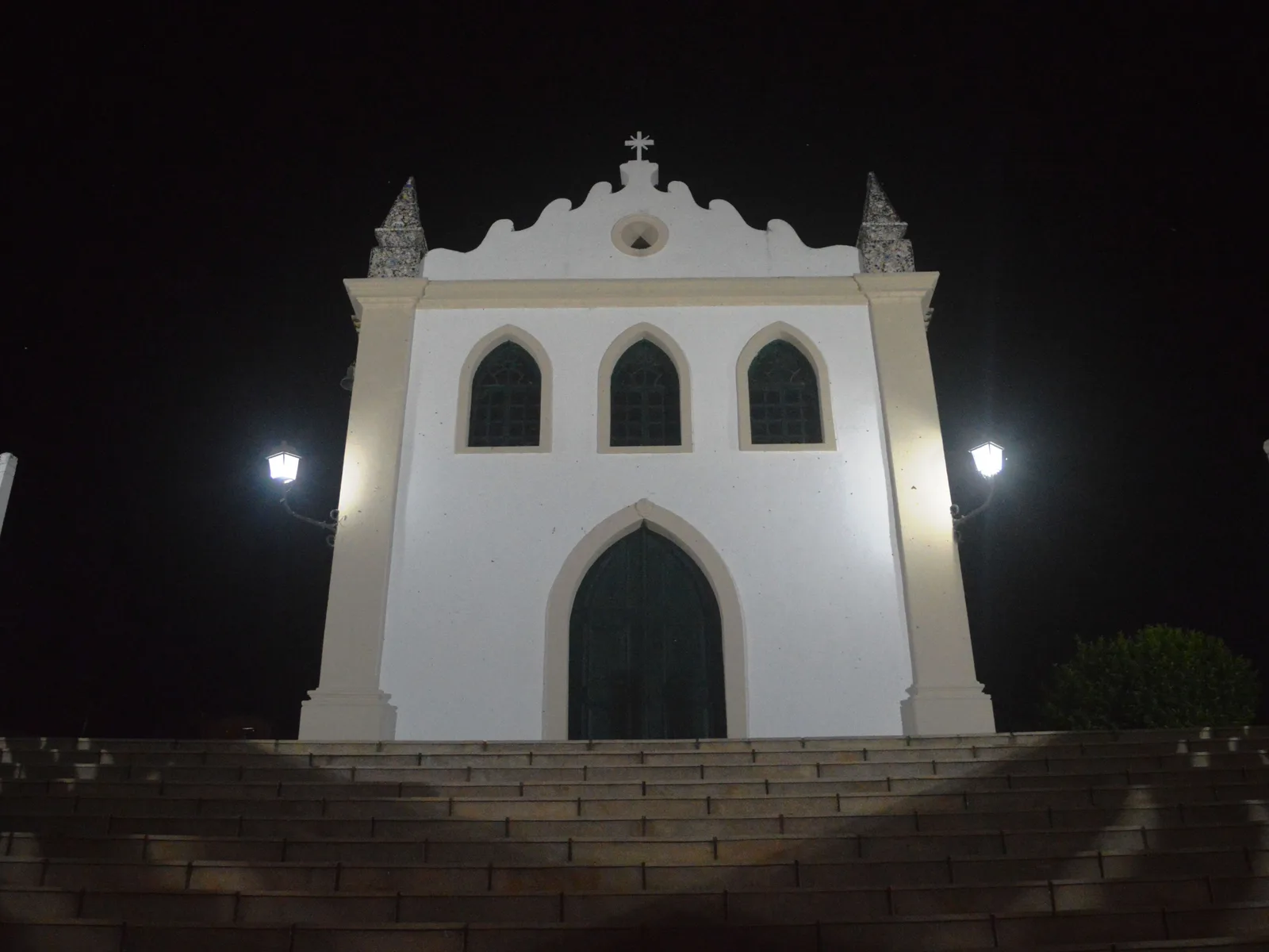
The white facade of the Senhor dos Passos church in Lençóis, the town in Bahia, floodlit at night

Festa do Senhor dos Passos

23 January to 2 February, with the main procession on 2 February

The biggest thing that happens in Lençóis, the town in Bahia, and it has been happening for more than 150 years. Senhor Bom Jesus dos Passos was the patron saint of the garimpeiros, and the festival that grew around him is still the town’s own rather than a tourist event: novenas, drumming, street food and a procession through the cobbled streets on 2 February. Bahia listed it as intangible heritage in 2023, and IPHAN registered it as national cultural heritage in March 2026. It lands in the wettest half of the year, which is exactly the trade-off this section is about.

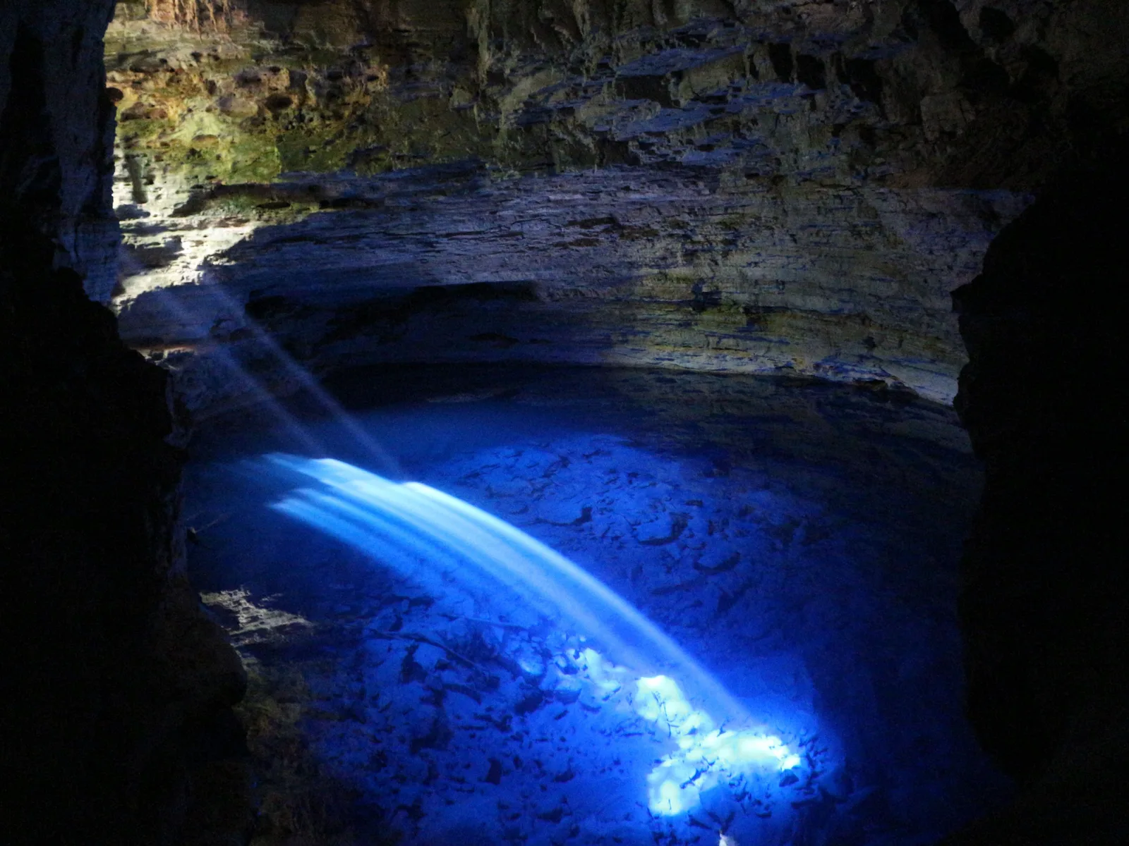
A shaft of sunlight striking the surface of a deep flooded cave pool and lighting the water electric blue

The sunbeam season at the blue pools

Poço Azul 25 February to 25 October; Poço Encantado 1 April to 10 September

Not a festival, but the closest thing the region has to a fixed date. Both flooded caves depend on a shaft of sunlight reaching the water through a gap in the rock, and both only get one when the sun is high enough and in the right part of the sky — a window of months, and inside it a window of about ninety minutes in the middle of the day. Poço Azul runs roughly 12:30pm to 2:20pm; Poço Encantado roughly 10:00am to 1:30pm. Get the month right, get the hour right, and the water goes an impossible blue. Get either wrong and you have driven three hours to look into a dark hole.

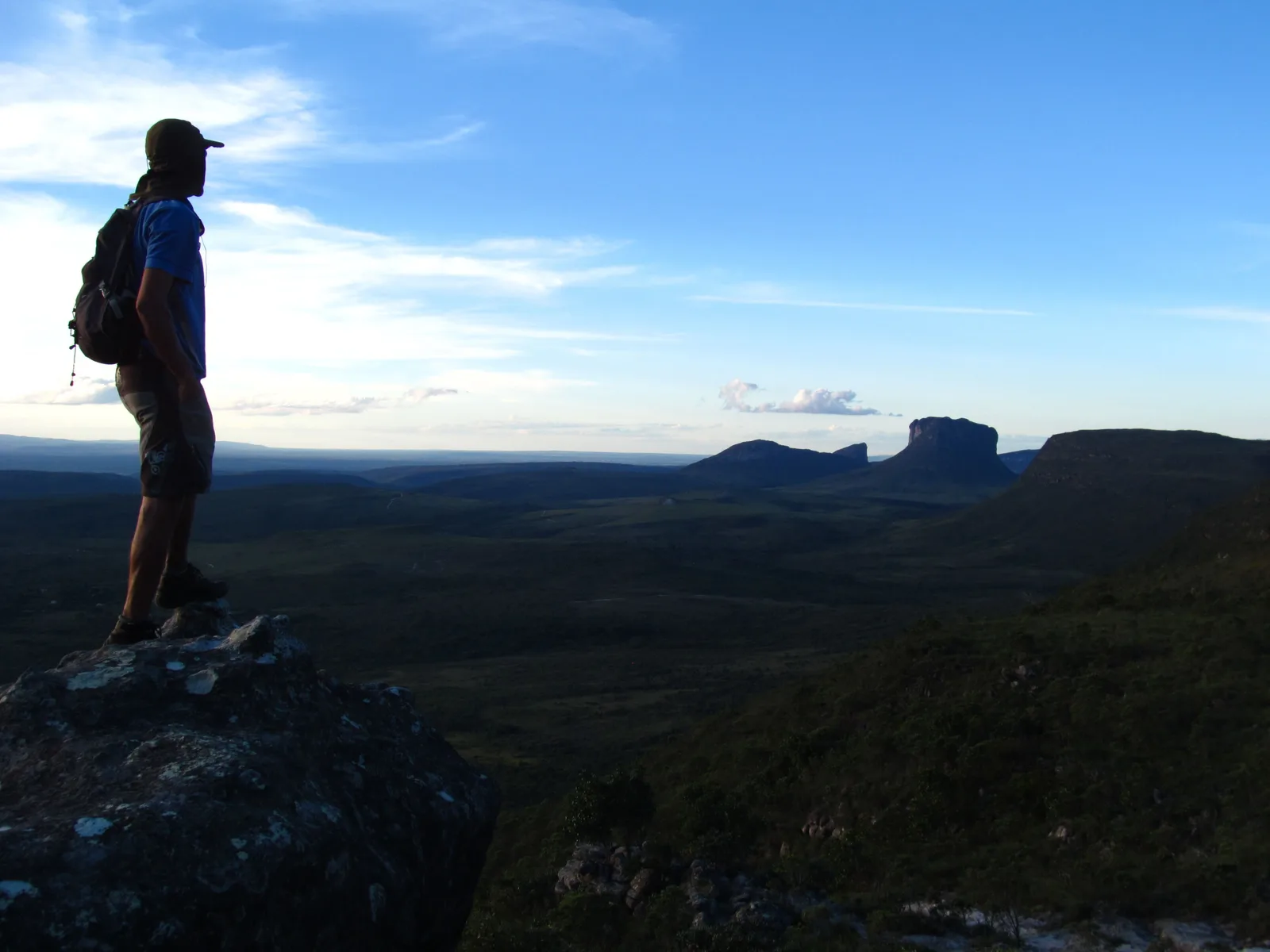
A walker with a backpack standing on a rock outcrop looking out over low cerrado scrub toward a distant flat-topped mountain

Trekking season

May to September, busiest in July

The months the multi-day walks actually run. The Vale do Pati, the Fumaça-from-below traverse and the Pai Inácio-to-Capão crossing all depend on river levels that make them safe from about May, and on ground that is dry enough to camp on. July is the peak, because Brazilian school holidays fall in it — the trails are busier, the houses in the Pati are full, and guides are booked out weeks ahead. June and August are the same walking with fewer people on it.

Good to know

Before you come

Is this the same place as the Lençóis Maranhenses? +

No, and they are about as different as two places in Brazil get. The Lençóis Maranhenses is a 1,500 km² field of white sand dunes in the state of Maranhão, on the northern coast, where rainwater collects between the dunes every year and forms thousands of freshwater lagoons; it has its own page on this site. This page is the Chapada Diamantina, a sandstone mountain range in the middle of Bahia, 1,500 km to the south — canyons, caves, waterfalls and trekking. What they share is a word. The base town here is called Lençóis, and both names mean bedsheets: the dunes look like sheets from the air, and the town is named for the white canvas tents of the 1845 diamond rush, which looked like sheets spread on the hillside. If you are flying to one, check which airport you booked.

How many days do I actually need? +

Five, if you want all three bases, which is why the itinerary above is built that way — two nights in Lençóis for the town walks and the caves, two in Vale do Capão for the Fumaça, one in the south for the mining towns, and the drive out on the sixth morning. Three or four nights is a real trip but a smaller one: keep Lençóis and one other zone, and the mining towns are the part to save. If the Vale do Pati is the reason you are coming, budget three to five days for the trek alone and treat everything else as an addition to it. Nobody who has been here has ever said they allowed too much time.

Do I need a guide, and is one required? +

Mostly not, and almost always worth it anyway. The national park charges no entrance fee, has no gatehouse and does not mandate a guide, and ICMBio instead recommends one strongly for the longer and less-marked trails. A few specific attractions do require one: the Cachoeira do Buracão canyon is guided and life-jacketed by rule, and the Vale do Pati is booked as a guided trek because the accommodation is in people’s houses. In practice you want one almost everywhere. The trails have no signage, phone signal does not reach most of them, and the condutores registered with the associations in each town — Lençóis in Bahia, Vale do Capão, Mucugê, Andaraí, Ibicoara — grew up on this ground. A day guide is around R$360 for a group of up to four, which is less than the entrance fees you will pay around them.

Should I come in the dry season or the wet? +

It depends which half of the place you came for, and the honest answer is that neither is the right one for both. May to September is the trekking season: stable weather, firm ground, cold nights, and river crossings that behave. But the region gets almost no rain from July to September — 26 mm in September, the driest month of the year — and by the end of that stretch the Cachoeira da Fumaça can be a thread of spray rather than a column of water. December to March is the opposite: every fall running hard, the canyons at their most spectacular, and trails that are muddy, canyons that flash-flood, and guides who will cancel a river crossing on the strength of a forecast for high ground you cannot see. May, June and October are the months that split the difference best.

Can I do it without a car? +

Yes, and plenty of people do. Buses run Salvador to Lençóis, the town in Bahia, several times a day, and vans link Lençóis with Vale do Capão, Palmeiras, Andaraí and Mucugê on a daily schedule. From any of those bases, agencies run group day tours with transport included for around R$500 a head, which is how most of the caves, the blue pools and the Buracão are visited even by people who have a car. What you lose is timing — leaving for the Fumaça at 6:00am rather than at 9:00am, or sitting on Pai Inácio until the light has completely gone. If there are two or more of you and you plan to walk a lot, a rental car plus a local guide for the walking days is the better arrangement.

Keep going

Where the Chapada fits in a bigger trip.

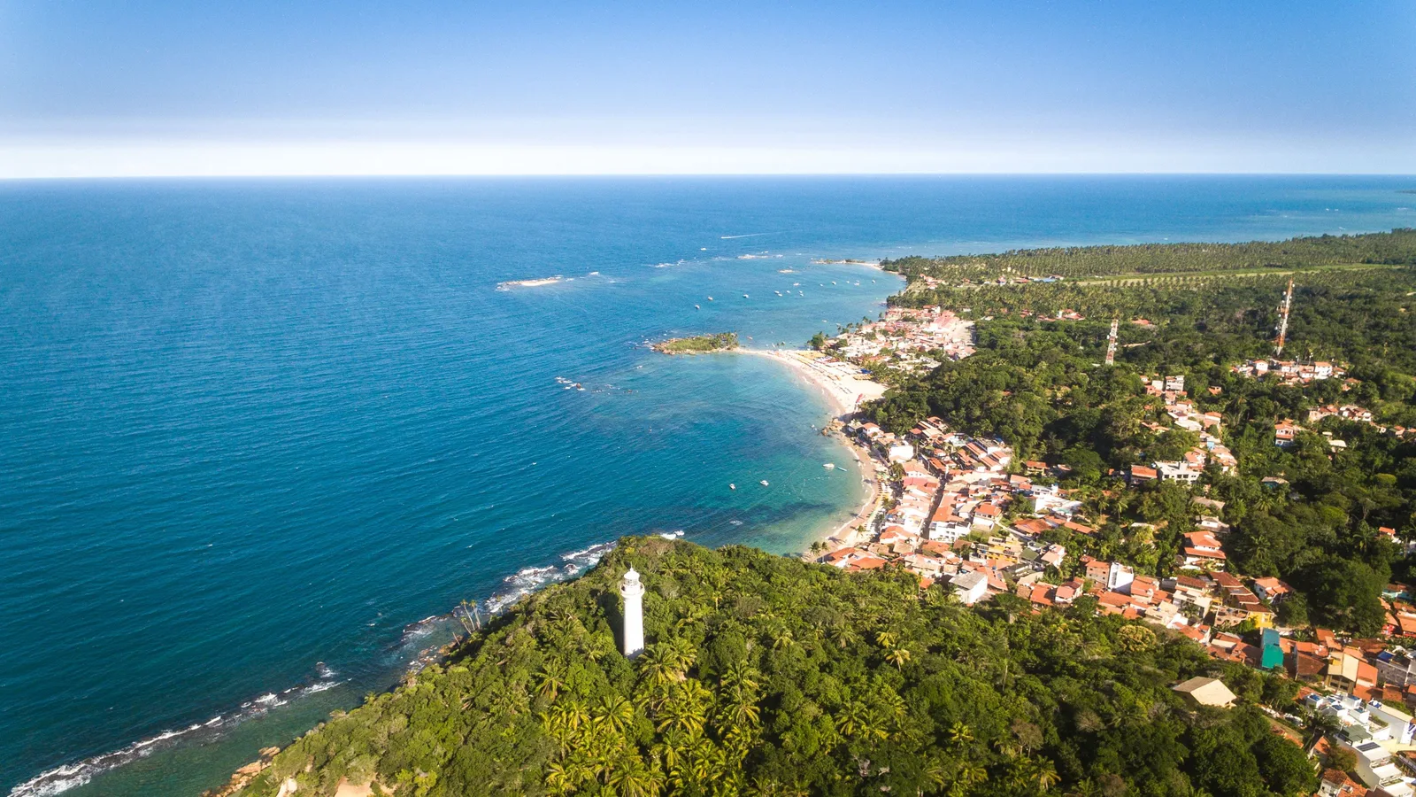
Almost nobody flies to Bahia for the mountains alone. Salvador is the airport you arrive at and the two or three nights that usually come first. Morro de São Paulo is the island the inland half of Bahia is normally paired with, two and a half hours by catamaran from that same city. And the Lençóis Maranhenses is on this list for one reason: it is the other Lençóis, a field of dunes and rain-fed lagoons 1,500 km north, and it has nothing to do with this trip beyond the word.

Free · 29 pages

Free guide

Beginner's Guide to Brazil

A free 29-page guide to everything a first-time visitor should know before landing: visas, safety, money, getting around, where to go, and what to eat.

We'll email you a link to confirm your address. Click it and the guide opens right away.

See what's inside
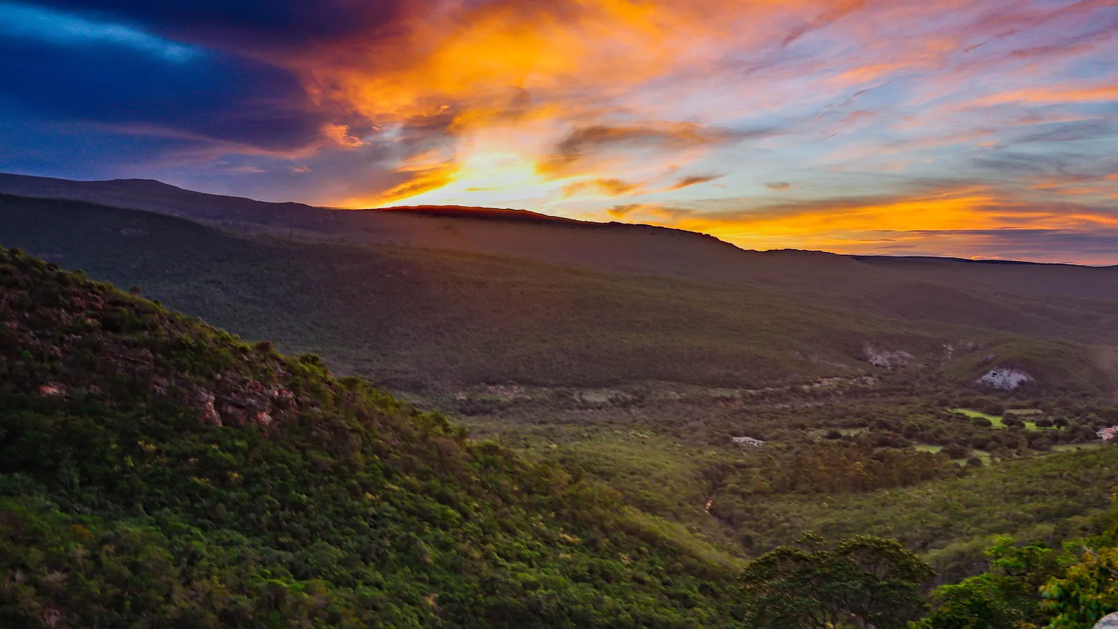
An orange and purple sunset over the Vale do Capão, the ridgelines dark against the sky

Skip the planning

Get the base towns right and the rest is walking.

Tell us your dates and whether you came for the trails, the water or the towns. We will shape a private Chapada Diamantina trip around exactly that — the right base for each half of it, guides booked with the associations that actually know the ground, and the blue-pool days timed to the hour the light arrives.

  • One person, living in Brazil, replying to you directly
  • A reply within one business day — no call center, no bots
  • No cost to plan, and no obligation to book
  • Built around your dates, not a fixed departure