
Skip to content
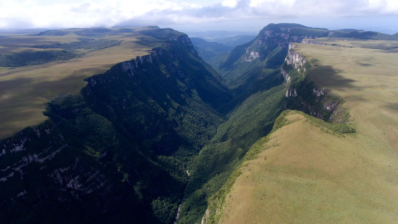
An aerial view along the Fortaleza canyon: a deep V-shaped valley filled with dark forest, golden grassland running flat to the edge of the cliffs on the right

Rio Grande do Sul & Santa Catarina

Aparados da Serra

Where the southern plateau stops dead and drops 700 meters into forest.

Last checked October 2026

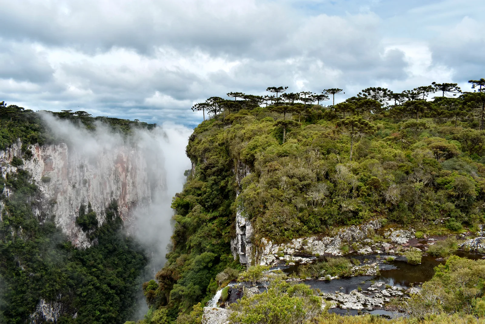
  • White cloud rising out of the Itaimbezinho canyon against its far wall, a forested rim with a small stream in the foreground on the right
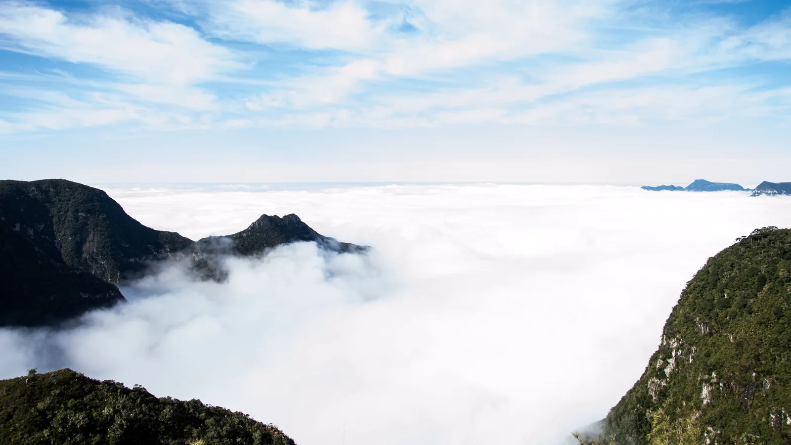
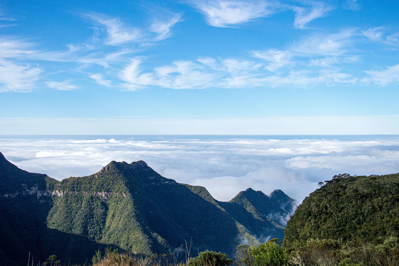
  • A sea of white cloud filling the lowlands below the escarpment, with dark forested peaks standing out of it under a blue sky
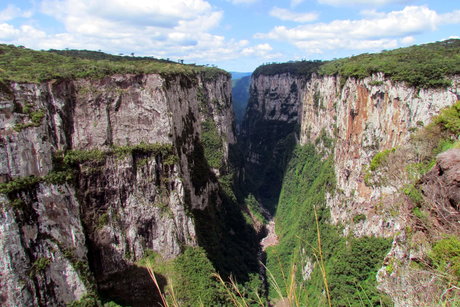
  • The sheer gray and ocher basalt walls of the Itaimbezinho canyon facing each other across a forested gorge, seen from the rim
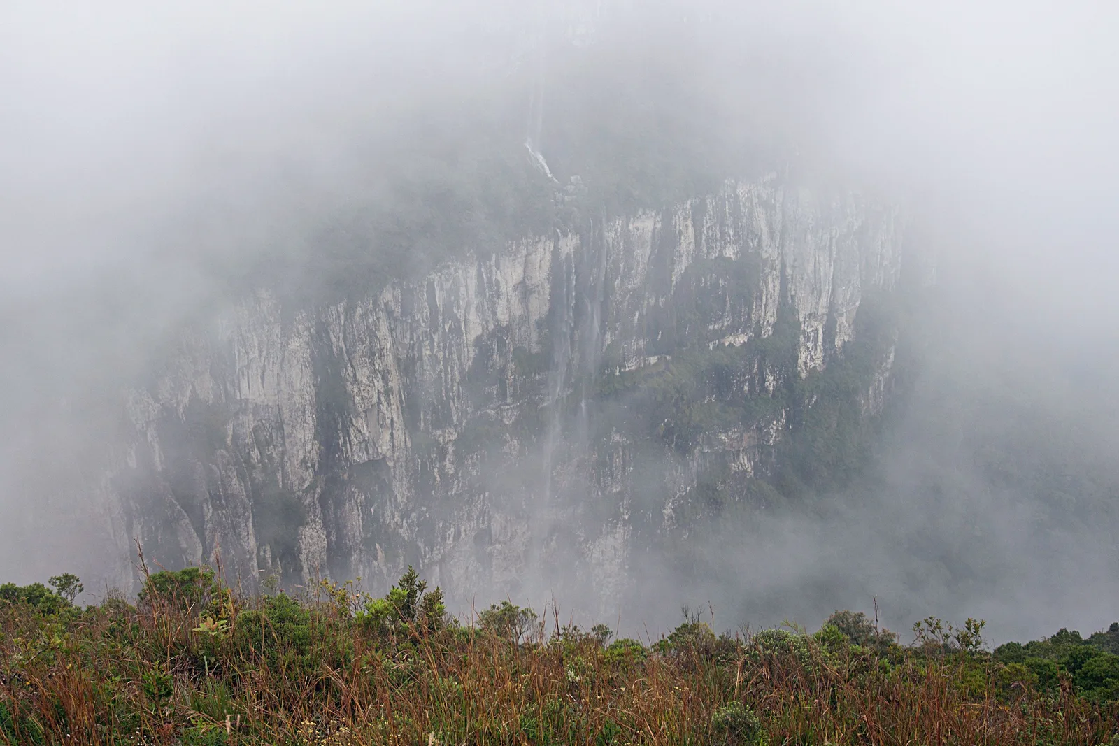
  • The cliffs of the Fortaleza canyon almost lost in thick fog, only a pale outline of rock showing behind low grassland at the rim
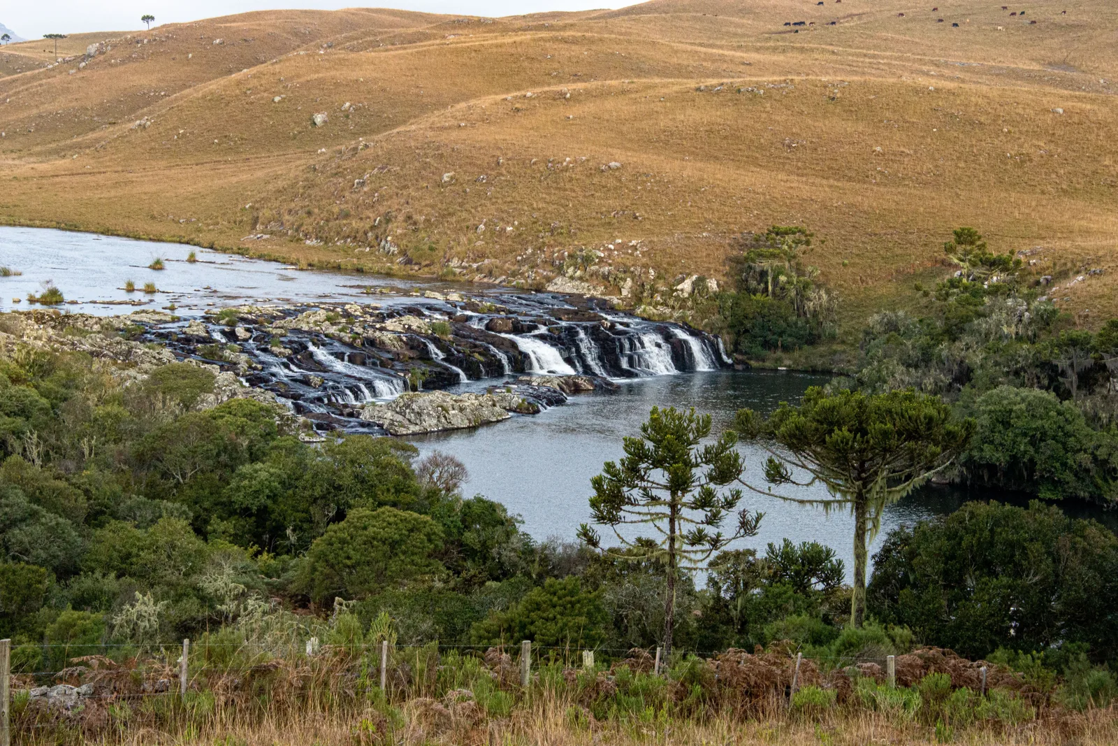
  • A river spreading across the high plateau and tumbling over a low rock ledge in several falls, golden grassland and araucaria trees around it
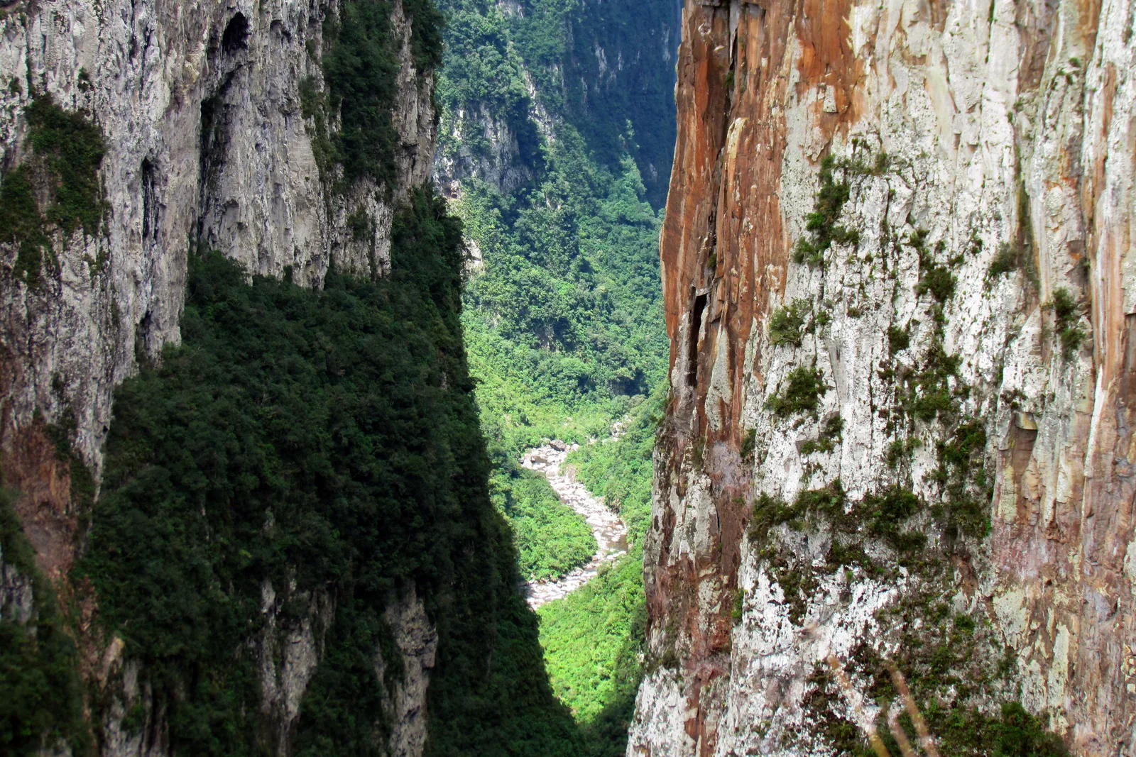
  • Looking down a narrow gap between two red and gray rock walls in the Itaimbezinho to a river winding along the canyon floor far below
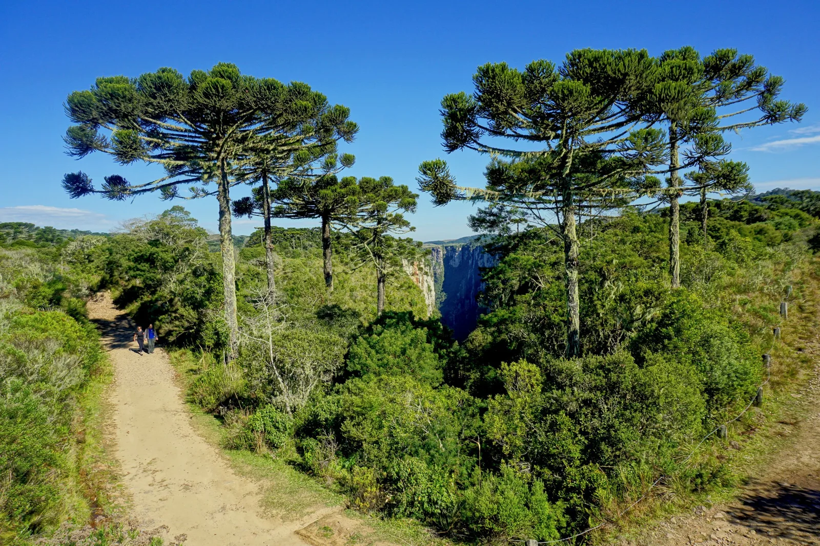
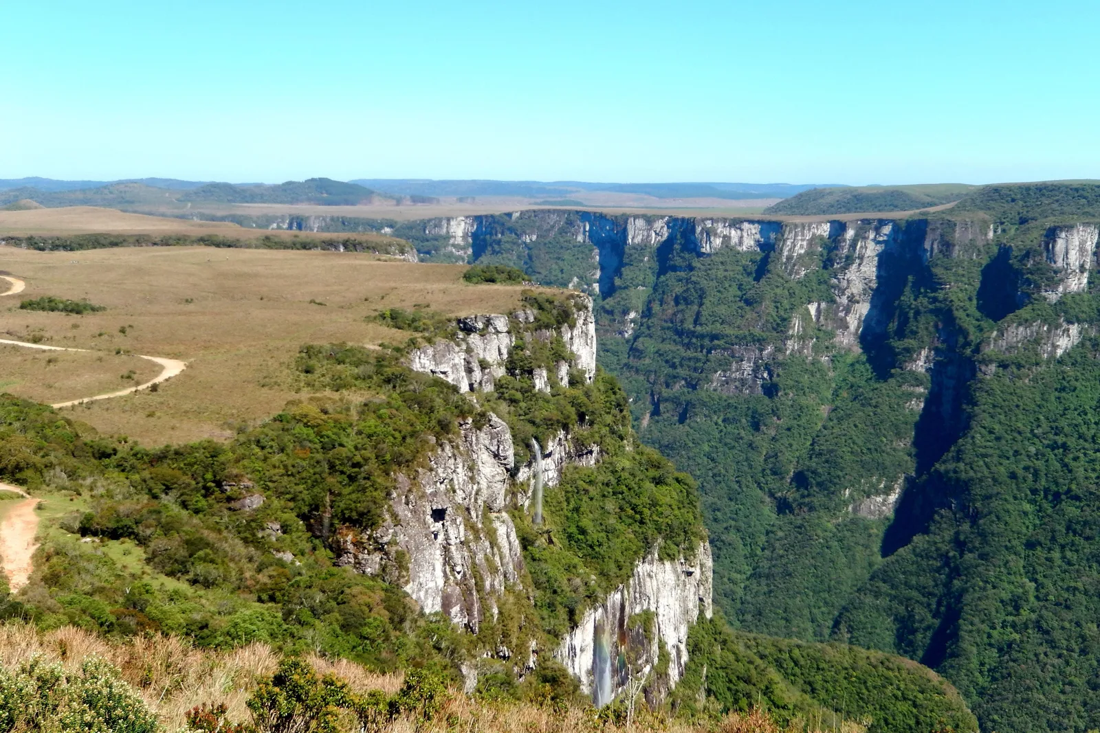
  • The rim of the Fortaleza canyon, flat yellow grassland and a dirt track running to the edge of forested cliffs that fall away into a long green valley
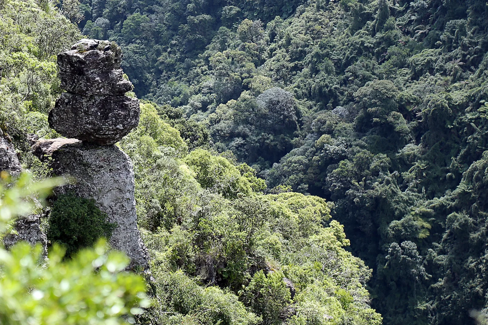
  • A narrow rock pillar with a boulder balanced on top, standing above steep forested slopes in the Parque Nacional da Serra Geral
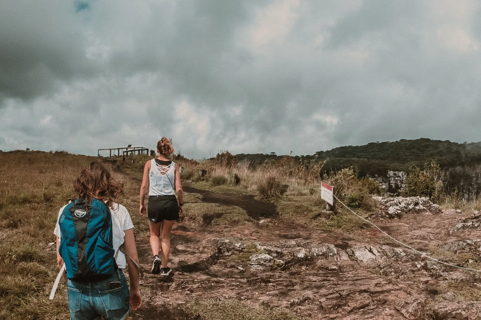
  • Two hikers, one with a teal daypack, walking across rough dry ground toward a canyon rim under a heavy gray sky, a wooden viewing platform ahead and a rope line beside the path
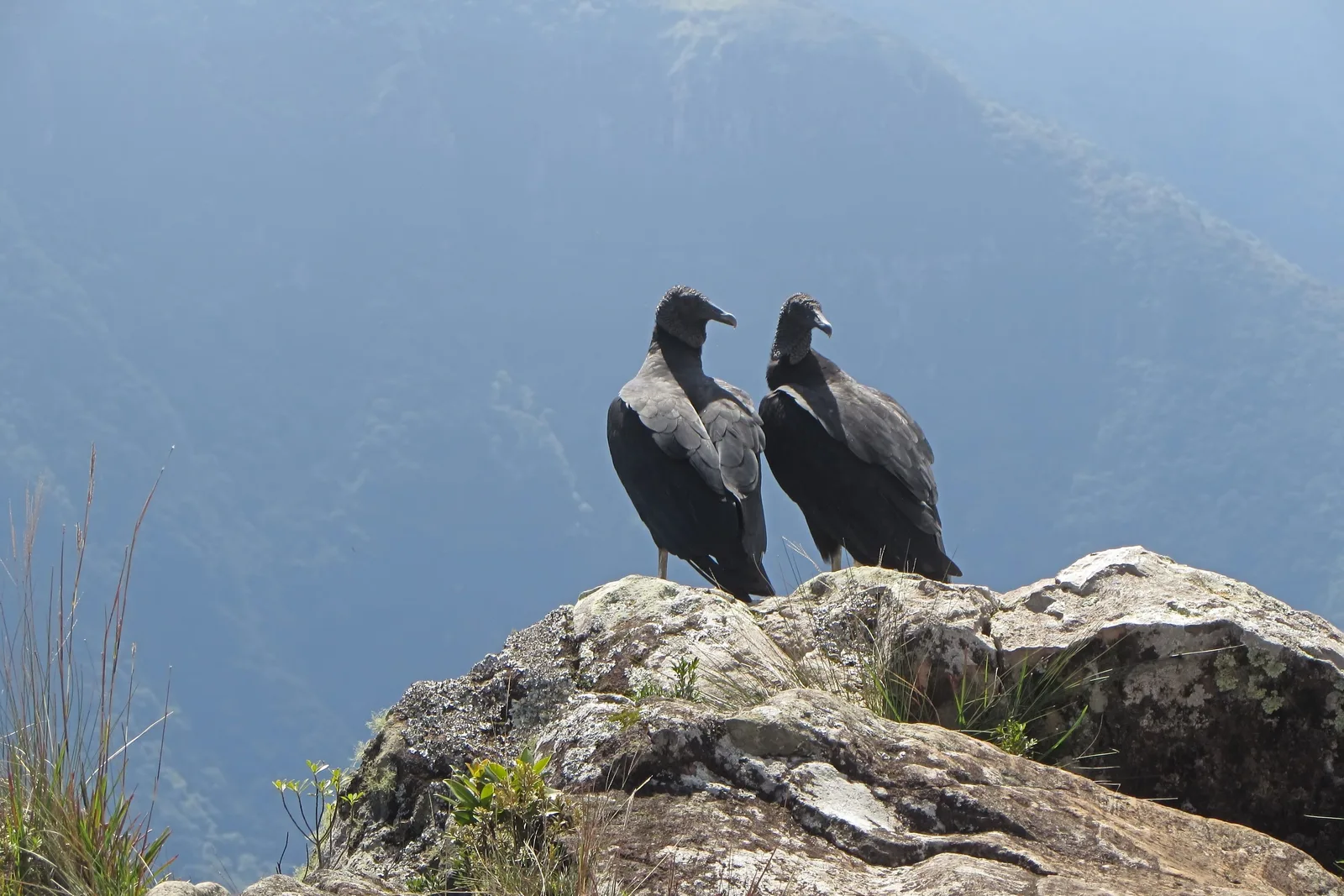
  • Two black vultures standing side by side on a lichen-covered rock at the canyon edge, a forested slope fading into blue haze behind them
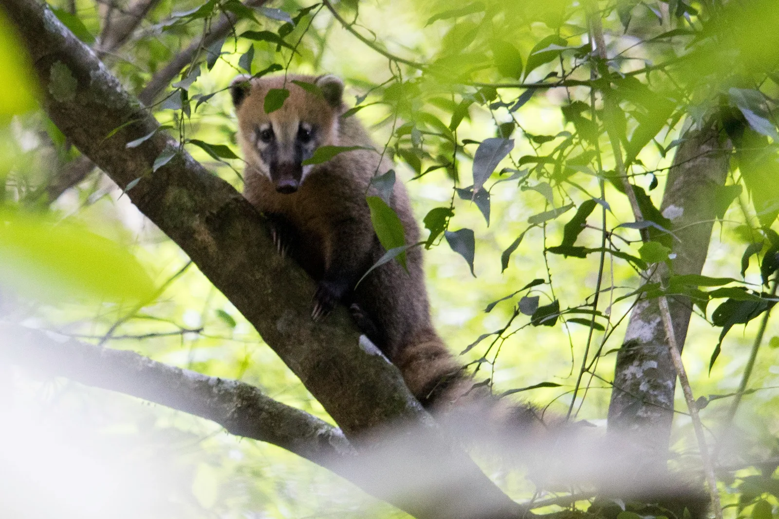
  • A coati sitting in the fork of a tree, looking toward the camera through green leaves, inside the Itaimbezinho canyon
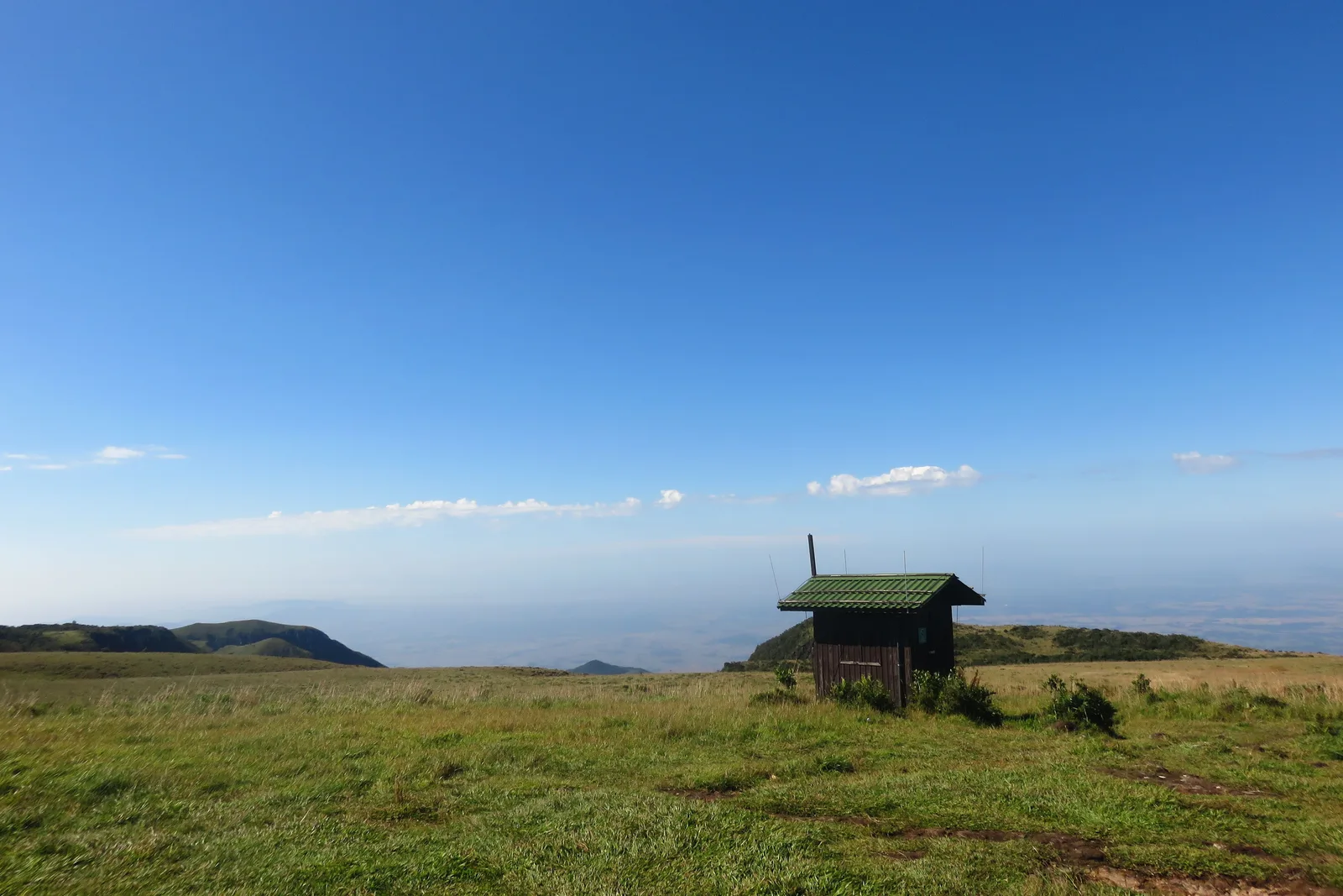
  • A small wooden hut alone on open grassland at the top of the escarpment, the coastal plain hazy far below under a deep blue sky
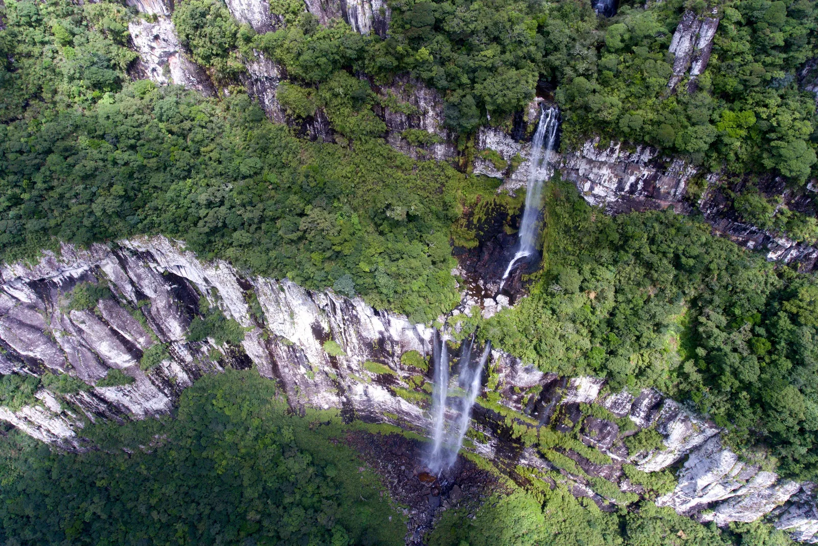
  • An aerial view down onto a pale curving cliff band in the Fortaleza canyon, a thin waterfall dropping from the forest above it and another below

Orientation

Two parks, two towns, one wall.

Everything logistical, before you walk to the edge.

General Info

What the Aparados da Serra actually is

Along the border between Rio Grande do Sul and Santa Catarina, the high southern plateau ends without warning. Grassland and araucaria forest run flat to a line of basalt cliffs, and then the ground drops straight down to a forested valley floor and the coastal plain beyond it. Rivers have cut into that edge in a row of deep, narrow canyons. The management plan for the two national parks counts eleven of them. Two are famous: the Itaimbezinho, about 5.8 km long and up to roughly 700 meters deep, and the Fortaleza, about 7.5 km long and up to 800 meters.

They sit in two parks side by side. The Parque Nacional de Aparados da Serra, created in 1959, holds the Itaimbezinho and the Rio do Boi trail along its floor. The Parque Nacional da Serra Geral, created in 1992, holds the Fortaleza and the Malacara. Together they cover about 30,000 hectares, they are a core zone of the Atlantic Forest Biosphere Reserve, and since 2022 they have been at the heart of the UNESCO Caminhos dos Cânions do Sul geopark.

There are two ways to see them. From the top, at the Itaimbezinho and Fortaleza visitor areas near Cambará do Sul, you walk easy trails along the rim and look down. From the bottom, out of Praia Grande, you walk up the riverbeds into the canyons and look up. Plan to do both. The one thing nobody controls is the cloud: on some days the canyons fill with it and you see nothing at all, and the park cannot tell you in advance which days those will be.

Where It Is

On the state line, between Porto Alegre and Florianópolis

The canyons run along the RS/SC border about 180 km by road from Porto Alegre airport and about 300 km from Florianópolis airport. Cambará do Sul, the town on the rim, is about 19 km from the Itaimbezinho gate and 22 km from the Fortaleza gate. Praia Grande, the town at the foot, is about 11 km from the Rio do Boi trailhead and 39 km from Cambará by the steep Serra do Faxinal road.

Aparados da Serra Aparados da Serra

29.16° S, 50.08° W

See the South on the interactive map

Cost

What the canyons actually cost

The park ticket is the one fixed cost, and it covers three entries in a week. After that the bill is a car, a room and a guide for the canyon floor. Rooms are pousadas and chalets rather than hotels, and both towns price them about the same.

Estimated daily budget, per person

Simple

$55 / day

A plain pousada room split two ways, a small rental car shared, the park ticket spread over your days, and simple meals in town.

Standard

$110 / day

A well-reviewed pousada or chalet with breakfast, restaurant dinners, a guided Rio do Boi day and every parking fee paid without thinking about it.

Splurge

$250 / day

A canyon-view lodge with a spa bath, private guides on the canyon floor and a dawn balloon flight over Praia Grande, with an operator on ANAC’s certified list (a balloon fire there killed 8 people in June 2025; see Safety).

Estimates per person per day once you are in the region, two people sharing a room. Flights not included.

What things cost

  • Park ticket, Itaimbezinho and Fortaleza, 3 entries in 7 days $22 R$112
  • Park ticket, 60 and over (Urbia asks for Brazilian ID: RG, CPF or CNH) $15 R$79
  • Rio do Boi ticket (includes 2 more rim entries in 7 days) $22 R$112
  • Parking, per car, per entry $3.90 R$20
  • Guided Rio do Boi day with a Praia Grande agency, per person from $29 from R$150
  • Guided Malacara walk, per person $18–24 R$90–120
  • Bike rental at the Itaimbezinho, per hour $6.90 R$35
  • Zipline at the Fortaleza $43 R$220
  • Shared dawn balloon flight, Praia Grande $98–117 R$499–599
  • Pousada double room, typical November night $69–84 R$350–430
  • Rental car, economy, per day (one-week hire at Porto Alegre airport) $17 R$88
  • Bus, Porto Alegre to Cambará do Sul $16 R$82.65
  • Bus, Florianópolis to Praia Grande (change at Araranguá) $26 R$134.25
  • Day tour from Gramado to the Itaimbezinho, park ticket extra $48 R$246

One ticket, three days. The standard ticket gives three separate entries to the Itaimbezinho and the Fortaleza within seven days of the first, so a three-day stay on the rim costs one ticket, not three. Buy it on Urbia’s own site, canionsverdes.urbiapass.com.br, which takes foreign buyers; the gate’s simplified sale asks for a Brazilian CPF, and cash is taken only at the gate. Children up to 6 go free, and residents of the four park towns are exempt.

Tour listings lag the park. One Gramado day tour still quotes the park ticket at R$35 when Urbia’s own checkout charges R$112, and the price has risen from R$102 in 2024 to R$112 now. Take the park’s price, not the agency’s.

Fog is not a refund. Urbia’s ticket policy says plainly that a day with no view because of fog is not grounds for a refund, and a ticket bought at the gate cannot be canceled at all. Online tickets can be moved once, free, at least 12 hours ahead.

Check a balloon operator before you pay. In June 2025 a tourist balloon caught fire over Praia Grande and 8 people died. ANAC, Brazil’s civil aviation regulator, now allows a balloon carrying 15 or more people to be sold only if the balloon, the pilot and the company are all certified, and it publishes a list of certified and registered operators on its balloon-operators page. Look yours up there first.

Checked October 2026 and converted at R$5.10 to the dollar. Estimates, not quotes: the shape of a budget rather than a price you can hold anyone to.

Park Rules

Closed days, booking and the guide rule

Urbia Cânions Verdes runs the visitor areas under a concession from ICMBio, the federal parks agency, which still sets the rules. These are the ones that catch people out.

  • Opening hours are 8:00am to 5:00pm. The Itaimbezinho is closed on Mondays, except a Monday before a public holiday, and the Fortaleza is closed on Tuesdays. Plan the rim around those two days.
  • The Cotovelo trail at the Itaimbezinho takes its last walkers at 3:00pm. It is about three hours there and back.
  • The Rio do Boi trail on the canyon floor is the one place a guide is compulsory: it must be one of the guides ICMBio has credentialed, and walkers must be 12 or older and wear snake gaiters. Entry is between 8:00am and 11:00am only, on the date you booked online, and numbers are capped.
  • ICMBio closes the Rio do Boi on rainy days and when heavy rain is forecast. If it does, ask Urbia for a new date the same day, before 4:00pm.
  • The rim trails stay open in rain and fog. Urbia says fog alone does not stop a visit, and it does not refund for it either.
  • No guide is required on the rim, and the rim trails have no minimum age. Pets are not allowed, alcohol is not allowed, and drones need ICMBio’s authorization, requested ten days ahead.
  • Adults and children 12 and over need photo ID at the gate; a passport works. Parking is R$20 per car per entry, and there is no charge at the Rio do Boi.

Safety

The risk here is the edge, not the towns

8 /10

Our rating: almost no crime, and cliffs that do not forgive a step in the wrong place.

The two towns are small and quiet. Cambará do Sul recorded no homicides and one robbery, of a vehicle, across 2024, 2025 and the first eight months of 2026 in the state’s own police figures, and Praia Grande recorded no homicides in 2024 or 2025. What can actually go wrong here is the landscape: long unfenced drops, a riverbed trail that floods, weather that turns in minutes, and a long drive to serious medical care.

  • Much of the Fortaleza rim has no railing, by design. In July 2025 an 11-year-old girl died after falling about 70 meters near a viewpoint at the Fortaleza, at a spot with no fence, and Urbia has said it does not plan to fence the Fortaleza’s rock edges. Stay on the marked trails, keep well back from the lip, and hold on to children.
  • The Rio do Boi floods fast. ICMBio warns of flash floods on the trail, especially in summer and in the late afternoon, and the risk form you sign says the river can rise even when it is not raining where you are. That is why a credentialed guide is compulsory there, and why the trail closes on wet days.
  • Fog and weather change quickly. Urbia’s own leaflet warns of sudden rain, hail, gales and temperature drops. Carry a warm layer and a rain jacket even on a sunny morning, and do not leave the trail in fog: at the end of August 2026 four hikers who left their guide’s route in fog and rain at a canyon outside the parks spent two nights lost before rescuers found them.
  • Lightning strikes the open grassland. Urbia’s advice in a storm: do not run, walk in short steps and stay away from isolated trees.
  • Snakes are routine on the Rio do Boi, in ICMBio’s words, which is why gaiters are compulsory there. Watch where you put your hands on rocks anywhere in the parks.
  • Emergency care: Cambará do Sul has a small general hospital, the Fundação Hospitalar São José, and a 24-hour SAMU ambulance; Praia Grande has the Hospital Nossa Senhora de Fátima, open 24 hours. Neither has an ICU. The nearest intensive care from Praia Grande is in Torres or Sombrio, about 40 to 45 km away; from Cambará it is Gramado, Taquara or Caxias do Sul, about 110 to 130 km. Dial 192 for an ambulance, 193 for the fire brigade, which does rescues, and 190 for the police.
  • Health: the CDC recommends the yellow fever vaccine for all of Rio Grande do Sul and Santa Catarina, and lists no malaria here. It also advises against swimming or wading in fresh, unchlorinated water anywhere in Brazil, because of schistosomiasis and leptospirosis, the second especially after heavy rain. The Rio do Boi trail wades the river for most of the day, so weigh that before you book it.
  • Drive the serra roads in daylight. The access roads to both rim gates are partly gravel, and the Serra do Faxinal is steep and still under construction.
  • Balloon flights: on 21 June 2025 a tourist balloon caught fire over Praia Grande and fell from about 45 meters, and 8 of the 21 people aboard died. At the time ANAC, Brazil’s civil aviation regulator, told reporters that tourist balloons were not certified and flew at the passengers’ own risk. Its rules now say a balloon carrying 15 or more people can be sold only if the balloon, the pilot and the company are all certified, and ANAC publishes a list of certified and registered operators, and a check of whether a given balloon is regular, on its balloon-operators page. Look your operator up there before you book.

Getting There

Fly to Porto Alegre or Florianópolis, then drive

There is no airport near the canyons. Porto Alegre (POA) is the closer gateway to the rim; Florianópolis (FLN) is the natural one for Praia Grande. Neither has a nonstop flight from the United States, so you connect in São Paulo or Rio, or through Panama City with Copa.

  • Americans need a visa: since 10 April 2025 US citizens must apply for a Brazilian e-visa before they travel. It costs US$80.90 and the consulate quotes about ten business days to process it.
  • Porto Alegre to Cambará do Sul is about 177 km, roughly three hours by car, almost all of it on the ERS-020. Domestic flights from São Paulo (GRU) start landing in Porto Alegre a little before 8:00am and from Rio (GIG) about 7:40am; with an overnight flight from the US, a late-morning connection puts you in Cambará by mid-afternoon.
  • Florianópolis airport to Praia Grande is about 296 km, roughly four hours, down the BR-101 and in on the SC-290. Florianópolis to Cambará is a little under five hours by the Serra do Faxinal when it is open, and about 5 hours 40 minutes by the Rota do Sol through Itati, the route that avoids it.
  • The Serra do Faxinal (SC-290) is the short link between the two towns: 39 km and about an hour. It reopened on 18 August 2026 after four months closed, but only for cars and motorcycles, single lane, for one hour at a time while the paving is finished. Santa Catarina’s infrastructure secretariat (SIE), which runs the road, gives the windows as 7:30am to 8:30am and 4:30pm to 5:30pm on weekdays, 7:30am to 8:30am and 11:00am to noon on Saturdays, and none on Sundays, when it is closed all day. Some newspapers printed a timetable half an hour to an hour off those, and heavy rain or fog can cancel a window, so check the SIE’s current notice before you drive. The long way round is the Rota do Sol (ERS-486) through Itati, about 2 hours 30 minutes between the towns. The other detour, the Serra da Rocinha (BR-285), has been closed by landslides since late September 2026, and on 1 October the federal highway police said there was no forecast for reopening.
  • Buses exist but barely reach the canyons. Citral runs one bus a day from Porto Alegre to Cambará on only a couple of days a week (about five hours), and Florianópolis to Praia Grande takes six to nine hours with a change at Araranguá. Urbia lists parking at the gates, not a shuttle.
  • From Gramado or Canela, Cambará do Sul is about 105 to 112 km, under two hours, which makes the canyons an easy extension of a trip to the Serra Gaúcha.

Getting Around

In practice, a car

Nothing scheduled runs to the park gates, and the gates are 11 to 23 km from town. A rental car, picked up at the airport, is the practical way to do it.

  • Cambará do Sul to the Itaimbezinho gate is about 19 km, half an hour, on the ERS-427. Paving began in 2024; at the last report, in December 2025, 5 of the 17 km were finished and the rest was gravel, and DAER, the state roads department, had pushed completion to December 2027.
  • Cambará to the Fortaleza gate is about 22 km, under 40 minutes, on the municipal CS-012. Most of it is paved.
  • Praia Grande to the Rio do Boi trailhead is about 11 km, 20 minutes, on a partly unpaved road. Some agencies meet walkers in town and drive out in convoy.
  • Itaimbezinho to Fortaleza is about 40 km gate to gate, back through Cambará, so give each its own day, which the three-entry ticket allows.
  • Without a car, the alternatives are a day tour (from Gramado, Canela, Caxias do Sul or Praia Grande) or a transfer booked through your pousada.
  • Phone signal on the trails and at the rim is not something any official source vouches for. Download offline maps and your tickets before you leave town.

The canyons

Five places that explain the rest.

Two canyons seen from the top, one walked from the bottom, a quieter one with no ticket office, and the high grassland that makes all of them such a shock when the ground runs out.

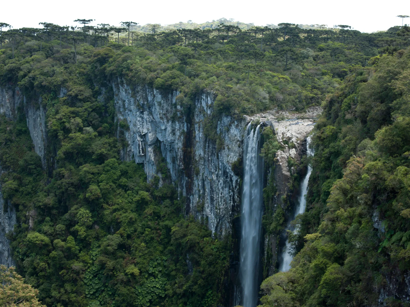
Two waterfalls dropping side by side down a sheer gray wall into the forested Itaimbezinho canyon, araucaria trees along the rim above 01

The famous one

Itaimbezinho

Length
About 5.8 km
Depth
Up to about 700 m
Closed
Mondays

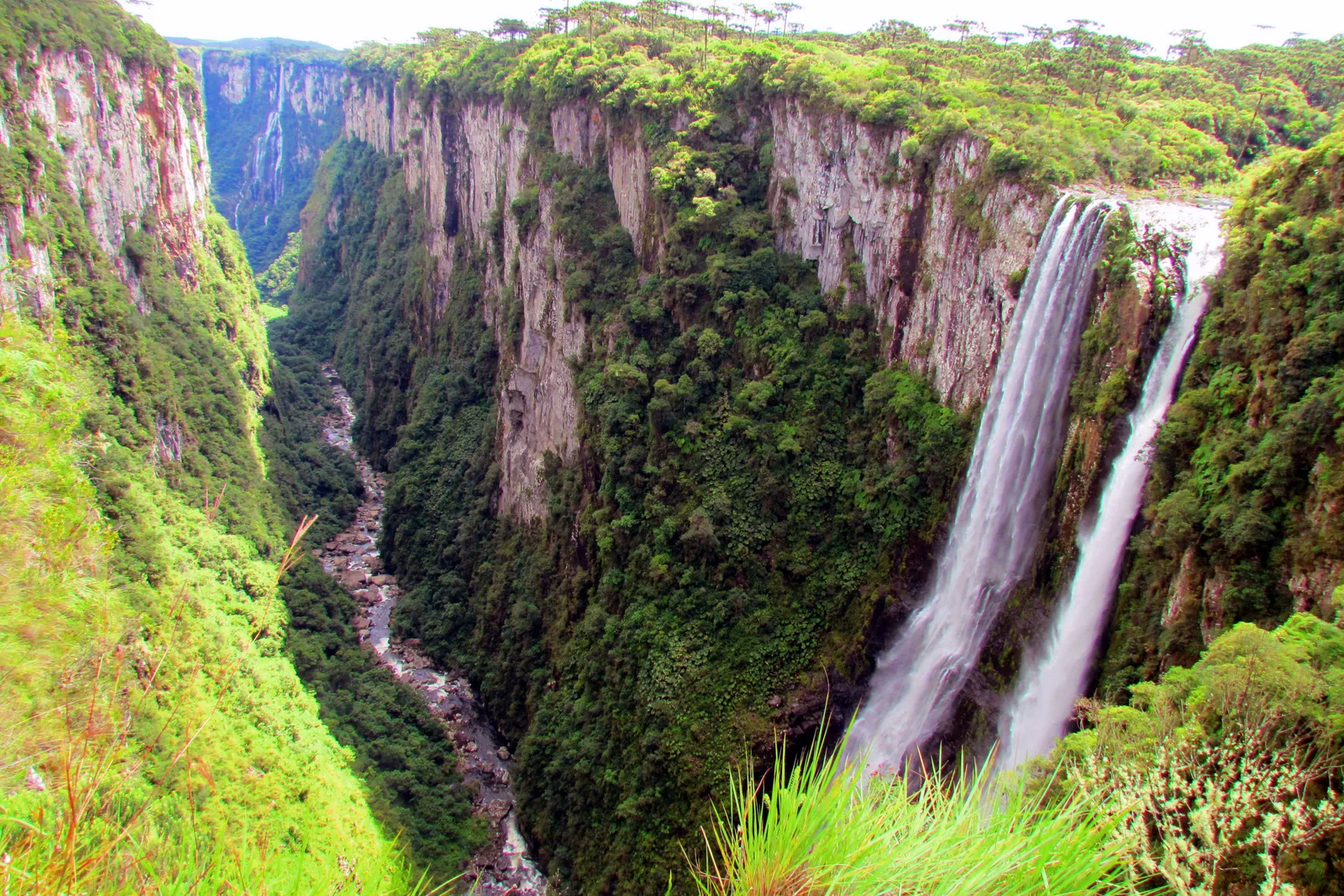
The easiest of the canyons to see. From the visitor center 19 km outside Cambará do Sul, two trails run along the rim. The short Vértice trail, about 1.5 km there and back, reaches the viewpoints over the two waterfalls at the head of the canyon, the Cachoeira das Andorinhas and the Véu de Noiva, which pour off the plateau into the gorge. The longer Cotovelo trail follows the rim for about 3 km to the Cotovelo, the elbow where the canyon bends.

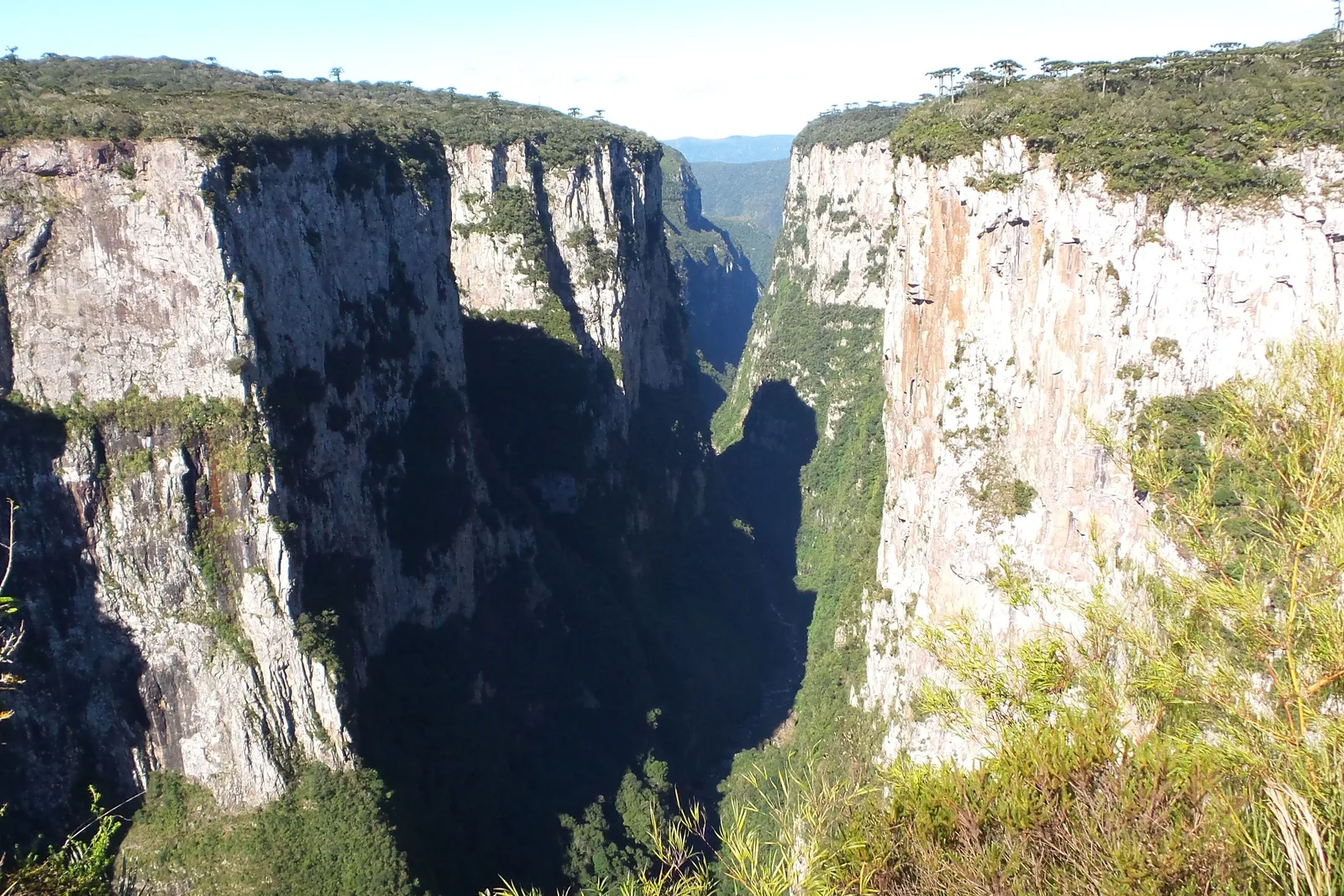
The walls are basalt. Below them the Rio do Boi winds out toward Praia Grande, and you can walk up that riverbed from the other end, with a guide, on the trail described below.
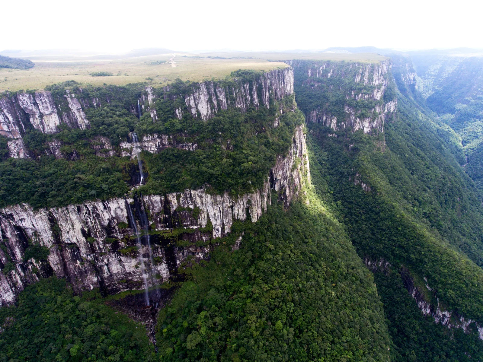
An aerial view of the Fortaleza canyon’s layered gray cliffs, a thin waterfall running down the face, flat grassland on top and forest filling the valley 02

Longer, wider, wilder

Fortaleza

Length
About 7.5 km
Depth
Up to about 800 m
Closed
Tuesdays

The bigger canyon, 22 km from Cambará in the Parque Nacional da Serra Geral, and the more open of the two. Here the grassland runs right to the lip, and on a clear day the view runs the length of the canyon and out over the forest to the coastal plain. Urbia lists five trails, from the short walk to the main viewpoint to the half-day Borda Sul along the southern rim.

The Pedra do Segredo trail passes the top of the Tigre Preto waterfall and reaches the Pedra do Segredo, a rock pillar more than 20 meters tall. A zipline runs 720 meters out from near the viewpoint, and guided sunrise walks start in the dark with headlamps.

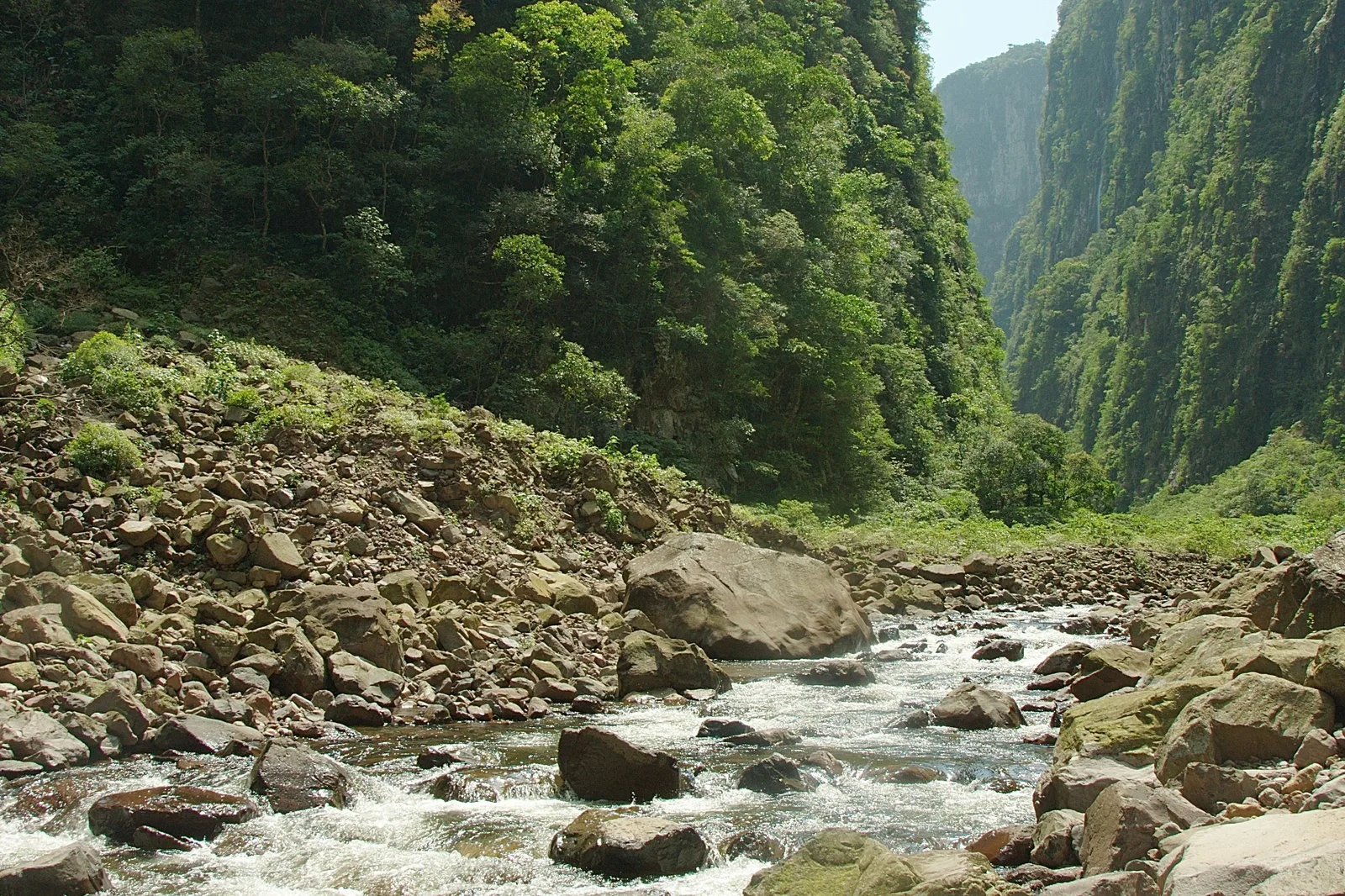
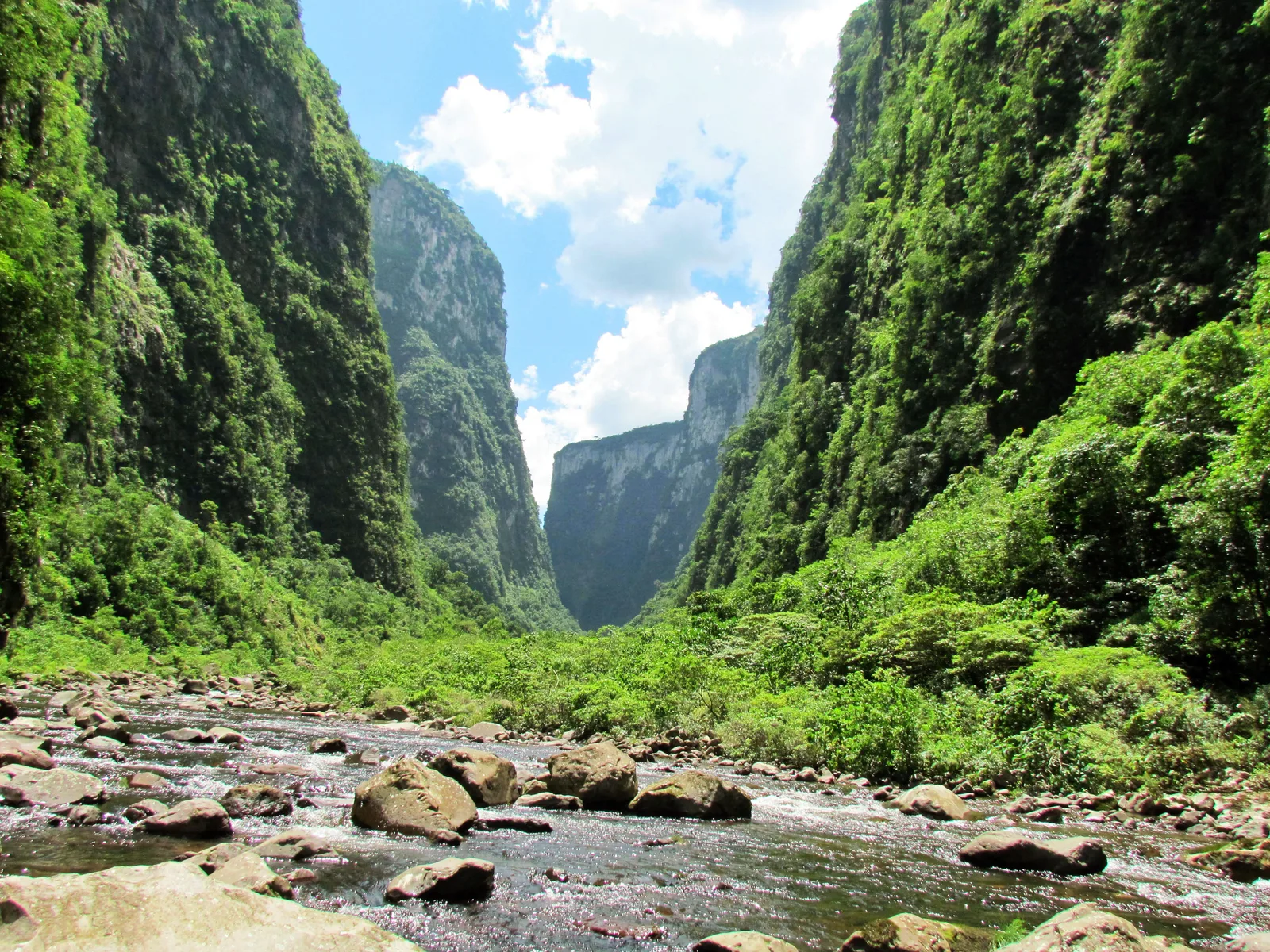
A shallow rocky river running between two towering forested canyon walls under a bright blue sky with white cloud 03

From the bottom, with a guide

The Rio do Boi

Length
About 14 km round trip
Time
7–8 hours
Rules
Guide required, age 12+

The other way into the Itaimbezinho. From a trailhead 11 km outside Praia Grande, the trail runs about 3.5 km through forest past old stone walls and the ruins of a sugar mill, then drops into the bed of the Rio do Boi and follows it upstream between the canyon walls, crossing and recrossing the river. You spend most of the day wet to the knees, scrambling over slippery boulders, with the cliffs rising hundreds of meters on both sides.

ICMBio rates it moderate to hard and makes it the one trail in the parks where a credentialed guide is compulsory. It is booked for a specific date, entry closes at 11:00am, and it closes when rain is falling or forecast, because the river can rise in minutes.

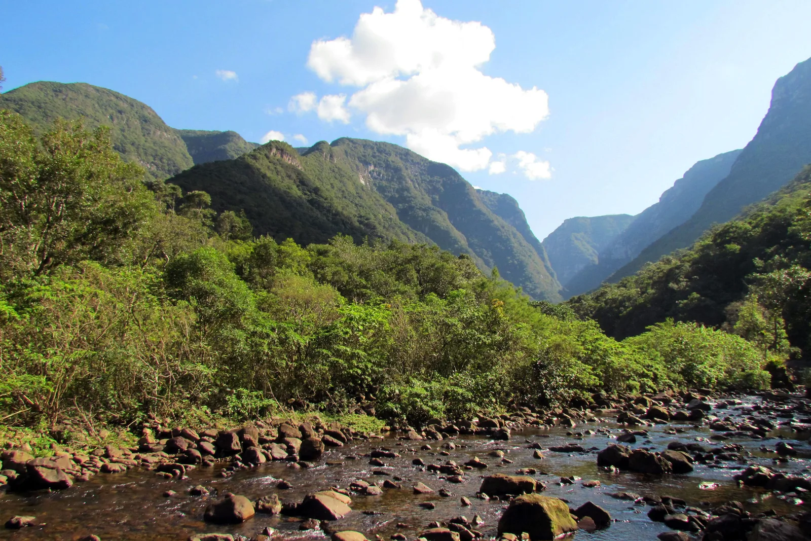
The Malacara canyon seen from the forest on its floor: two steep wooded walls closing in toward a gap, under a blue sky with scattered cloud 04

The quiet canyon

Malacara

Park
Serra Geral
From
Praia Grande, about 6 km
Walk
3–4 hours, guide advised

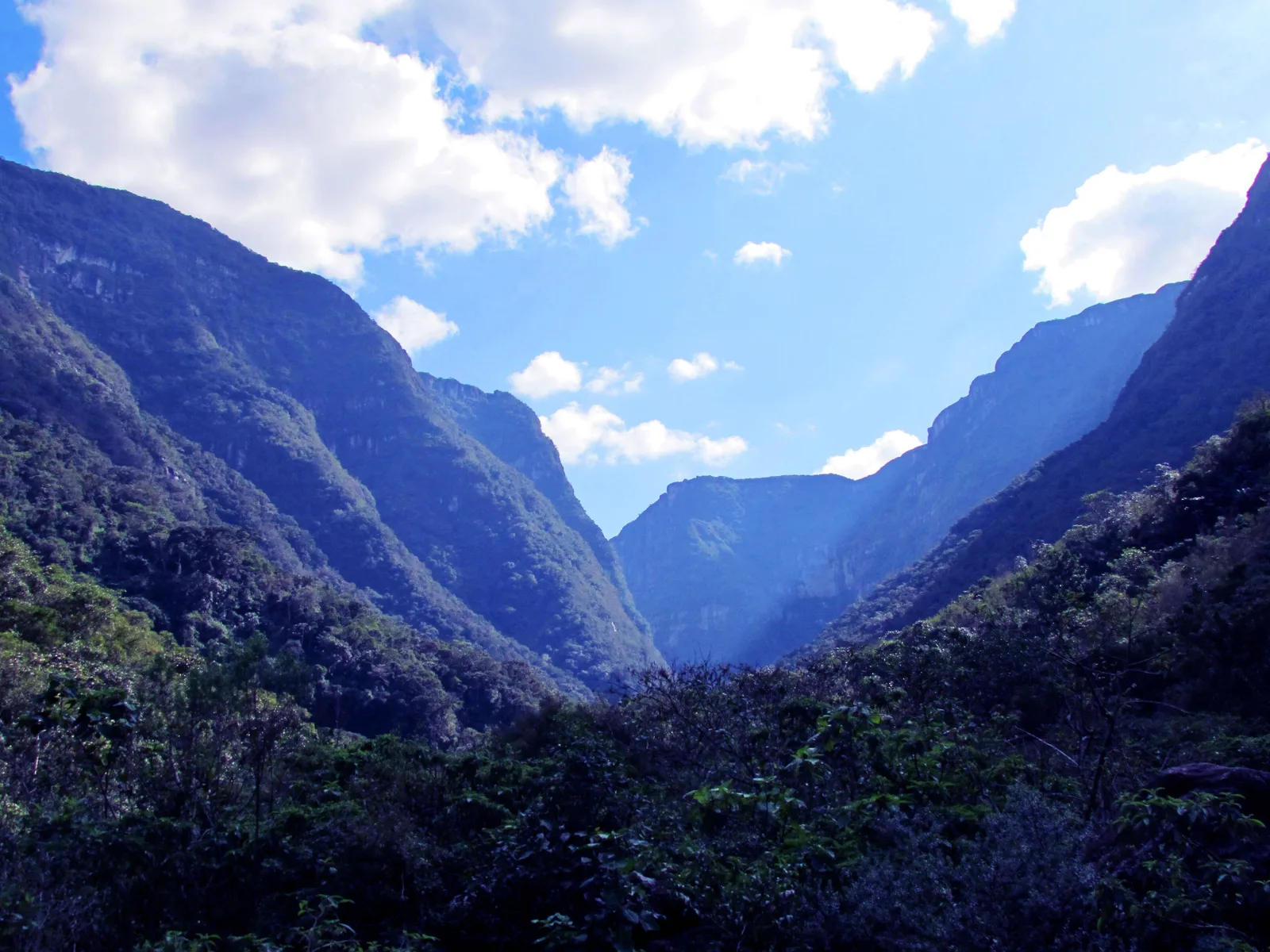
The canyon nearest Praia Grande, and the one with no ticket office: Urbia sells no ticket for it, and the walk starts from the valley below, a wet trail up the open lower end of the valley, following the Rio Malacara over smooth stones to the Poço da Figueira, a clear pool under a small waterfall.

Guides are not compulsory, but the geopark recommends going with one registered with ICMBio, and Praia Grande’s agencies sell the walk as a half day. It makes a gentler first taste of the canyon floor than the Rio do Boi, or a morning for the day you drive out.

A river winding through flat golden grassland on the high plateau, a few araucaria trees scattered across it and dark forest beyond 05

The plateau on top

The Campos de Cima da Serra

Altitude
About 1,000 m at Cambará
Landscape
Grassland and araucaria
Frost
June to August

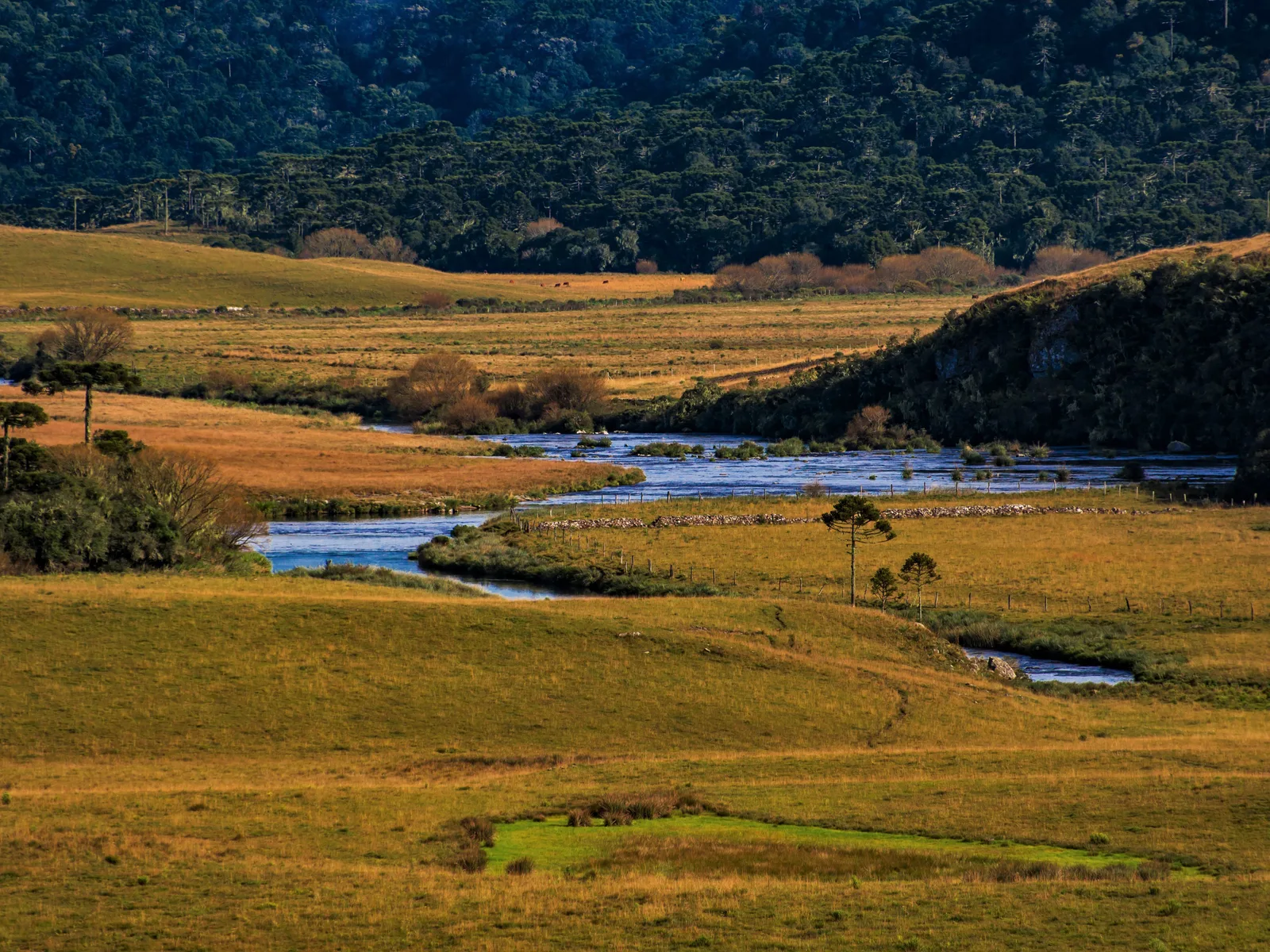
The high country you drive across to reach the rim, and the reason the canyons come as such a shock. Above the cliffs the land is rolling grassland, peat bog and stands of araucaria, the tall candelabra-shaped pine of southern Brazil, crossed by rivers that run to the edge and fall into the canyons. In winter it is cold: Cambará’s weather station records frost on about two mornings a month from June to August.

ICMBio names the vinaceous-breasted parrot and the saffron-cowled blackbird, the veste-amarela, among the protected species here, and the parks’ management plan records about 335 bird species in and around them. The araucaria drops its seeds, the pinhão, from April to July.

What to actually do

Look down, or look up.

Every day here is either a rim day, walking the edge on easy trails, or a canyon-floor day, wading up a riverbed with a guide. Pick a side, then scroll sideways through it.

Rim trails

  • Two long waterfalls falling into a narrow green gorge between steep rock walls at the head of the Itaimbezinho, grass in the foreground

    Itaimbezinho · 45 minutes

    The Vértice trail at the Itaimbezinho

    The short one, about 1.5 km there and back from the visitor center, with some steps. It strings together the viewpoints over the head of the canyon, where the Cachoeira das Andorinhas and the Véu de Noiva drop off the plateau into the gorge. It suits any age, and on a day of drifting cloud it is the trail to stay close to, so you can come back when the view opens. No bikes on this one.

  • The Itaimbezinho seen from the Cotovelo viewpoint, sunlit cliffs on both sides of a deep shadowed gorge

    Itaimbezinho · 3 hours

    The Cotovelo trail at the Itaimbezinho

    About 6 km there and back along the rim, starting at the bridge over the Arroio Perdizes and running on flat dirt and stony track through grassland and araucaria forest to the Cotovelo, the elbow where the canyon bends. The last walkers are let in at 3:00pm. In spring and summer the migratory swallows and swifts that give the Andorinhas waterfall its name gather at the falls.

  • A dirt track running between araucaria trees and low scrub toward the edge of the Itaimbezinho, a canyon wall visible through the trees

    Itaimbezinho · 2–4 hours

    Cycling the Cotovelo and Camisas trails

    Bikes are allowed on the Cotovelo and on the longer Camisas trail that continues past it through the grassland to an araucaria viewpoint. Urbia rents ordinary and electric bikes at the visitor center, R$35 an hour at the park, or a day rental bought online, picked up between 8:30am and 3:00pm. You can also bring your own at no charge. The bike rental does not include the park ticket.

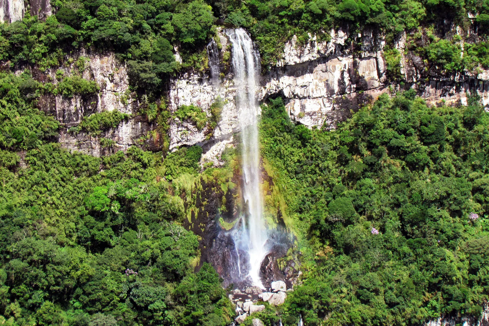
  • A white waterfall dropping down a pale cliff into thick green forest in the Fortaleza canyon, seen from the main viewpoint

    Fortaleza · 1–2 hours

    The main viewpoint at the Fortaleza

    The short walk at the Fortaleza: about 3 km there and back across open grassland to the Mirante, the viewpoint that looks straight down the canyon toward the coast. On the way, the Gravata de Noivo falls drop down the far wall. Keep to the path and back from the edge; there is no railing on most of this rim. The zipline platform is a short climb above.

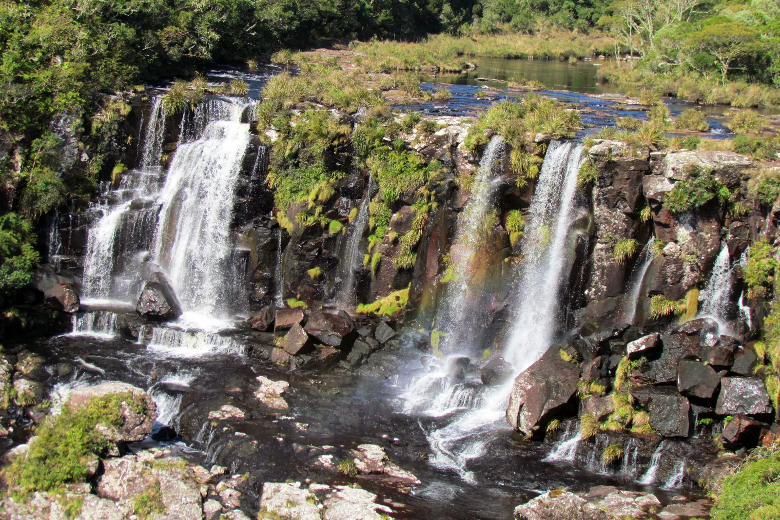
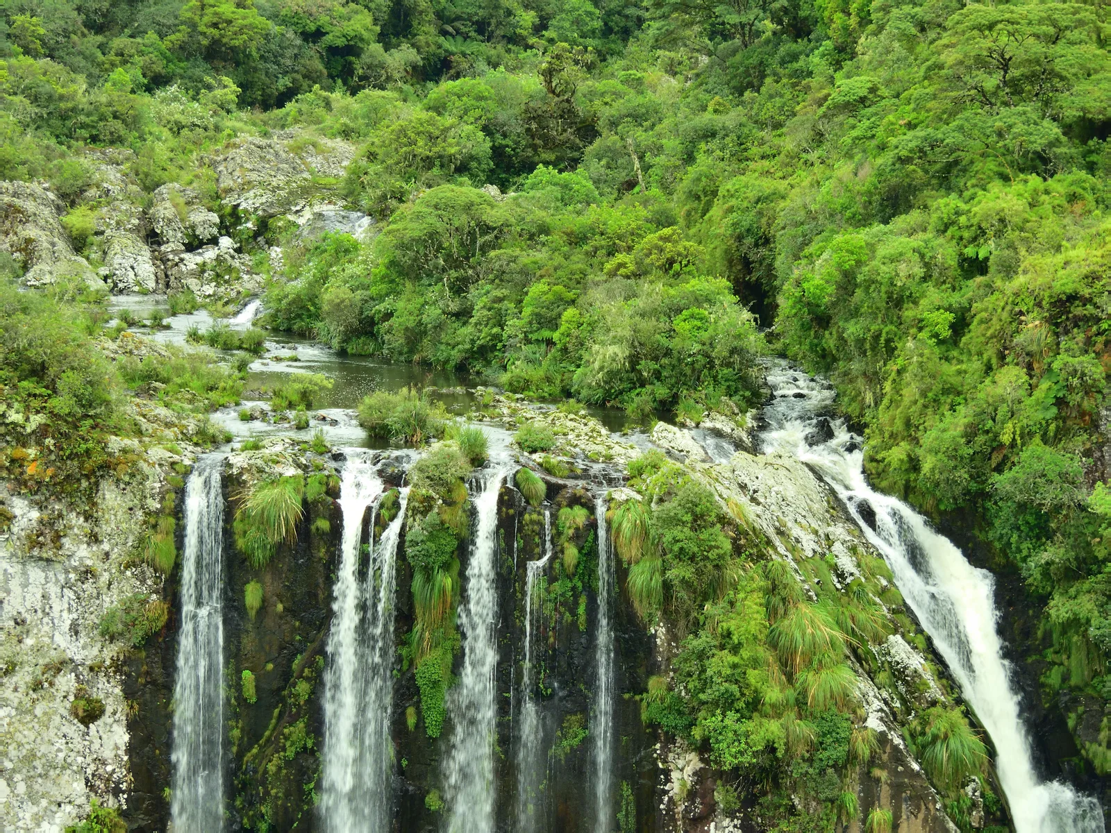
  • The Tigre Preto stream pouring over a dark rock ledge in several white falls, grassland and low trees around the top

    Fortaleza · 2–3 hours

    The Pedra do Segredo trail at the Fortaleza

    The second classic at the Fortaleza, past the top of the Tigre Preto waterfall, where a river off the plateau tumbles over a ledge on its way into the canyon, to the Pedra do Segredo, a needle of rock more than 20 meters high. Urbia lists it as moderate. Pair it with the main viewpoint and the Fortaleza fills a day.

Canyon floor

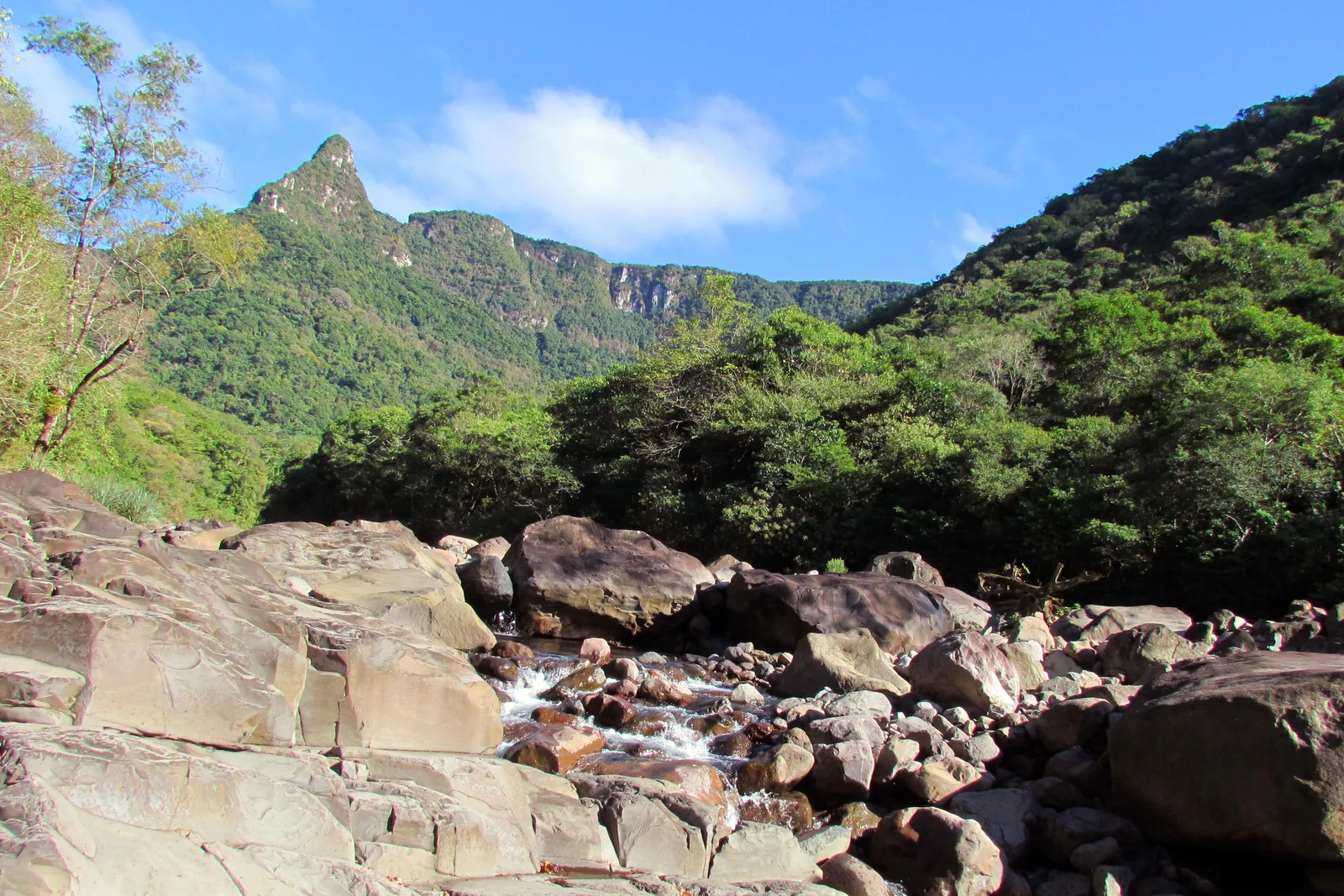
  • Pale boulders in a rocky riverbed at the start of the Rio do Boi trail, a pointed forested peak standing above the trees behind

    Praia Grande · full day, guided

    The Rio do Boi trail into the Itaimbezinho

    Fourteen kilometers there and back, seven to eight hours, most of it in or beside the river with the canyon walls closing in overhead. Book the dated ticket on Urbia’s site, hire one of the ICMBio-credentialed guides (Praia Grande’s agencies arrange them), bring snake gaiters, a packed lunch and shoes you do not mind soaking, and be at the gate by 11:00am. Walkers must be 12 or older and fit, and the trail closes on wet days.

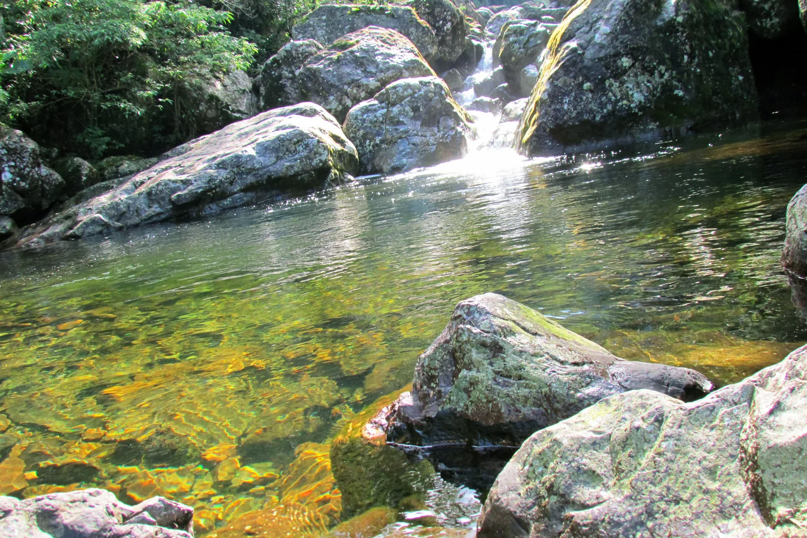
  • A small waterfall spilling between mossy boulders into a clear green pool with a golden stony bottom

    Praia Grande · half day

    Walking to the Poço da Figueira in the Malacara

    The gentler canyon-floor walk, about 6 km out of Praia Grande: a few kilometers on a wet trail up the Rio Malacara, stepping between rounded stones, to a clear pool under a small fall. No ticket and no compulsory guide, but the geopark advises one, and agencies sell it from about R$90 with gaiters included. The CDC advises against swimming or wading in fresh, unchlorinated water anywhere in Brazil; see Safety.

Plateau & roads

  • A dirt track running between araucaria trees and low scrub toward the edge of the Itaimbezinho, a canyon wall visible through the trees

    Itaimbezinho · 2–4 hours

    Cycling the Cotovelo and Camisas trails

    Bikes are allowed on the Cotovelo and on the longer Camisas trail that continues past it through the grassland to an araucaria viewpoint. Urbia rents ordinary and electric bikes at the visitor center, R$35 an hour at the park, or a day rental bought online, picked up between 8:30am and 3:00pm. You can also bring your own at no charge. The bike rental does not include the park ticket.

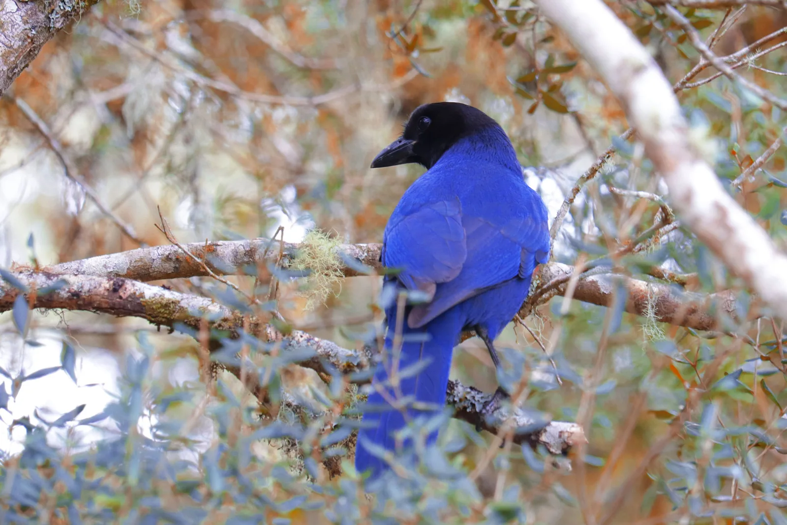
  • A deep blue azure jay with a black head perched on a bare branch, pale brown foliage behind it

    Both parks · any time

    Birdwatching on the plateau

    The parks’ management plan records about 335 bird species in and around them, and ICMBio names several it protects here, among them the vinaceous-breasted parrot and the saffron-cowled blackbird of the wet grasslands. The azure jay, the gralha-azul, lives in the araucaria forest. Early mornings at the edge of the araucaria forest along the rim trails are the time to look.

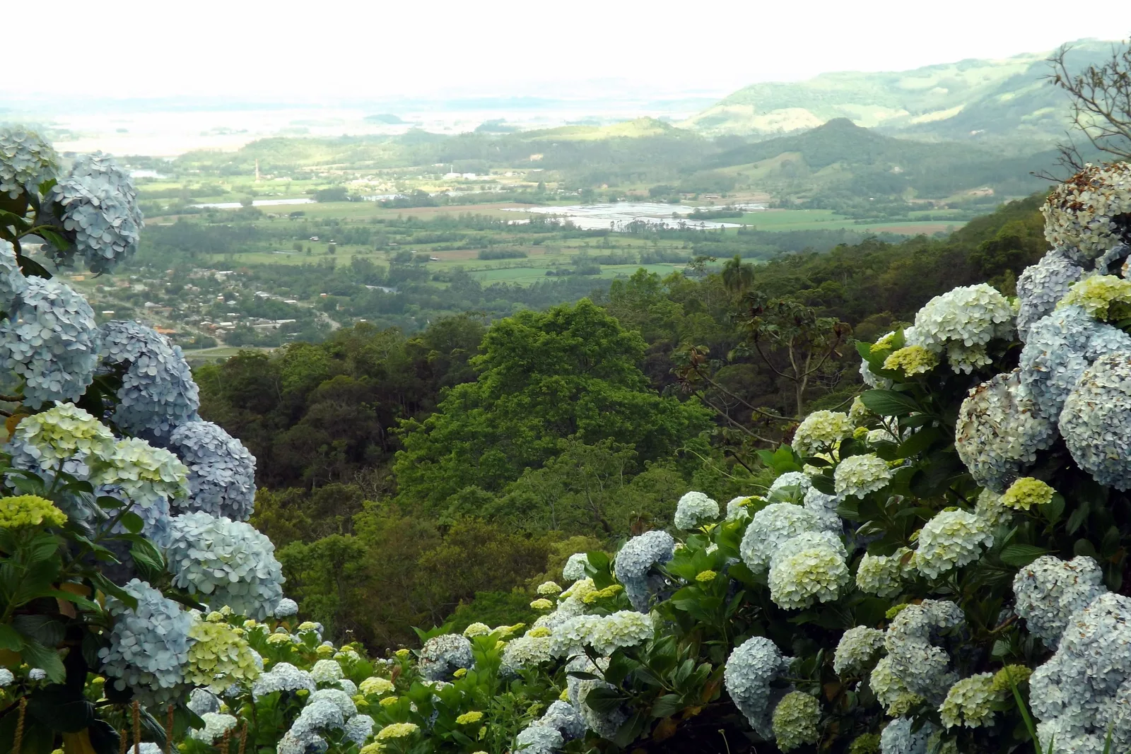
  • Pale blue hydrangeas growing along a high roadside, the wooded escarpment falling away to a wide green plain below

    Praia Grande to Cambará · about 1 hour

    Driving the Serra do Faxinal

    The road between the two towns climbs the escarpment in 39 km, with views back down over Praia Grande and the plain, and hydrangeas lining the verges. It is also a construction site until the paving is finished: since 18 August 2026 it has opened only to cars and motorcycles, single lane, for an hour at a time and never on Sundays, and heavy rain or fog can cancel a window. Check the current timetable from Santa Catarina’s infrastructure secretariat (SIE) the day before.

Where to stay

Top or bottom.

Cambará do Sul sits on the plateau, close to both rim trails. Praia Grande sits at the foot of the cliffs, close to the canyon-floor walks and the balloon flights. With four nights or more, sleep in both: two or three on top and one or two below.

Drag and zoom to explore.

Tap an area to open it and see it on the map

  • Our pick

    Best for: The rim trails at the Itaimbezinho and Fortaleza

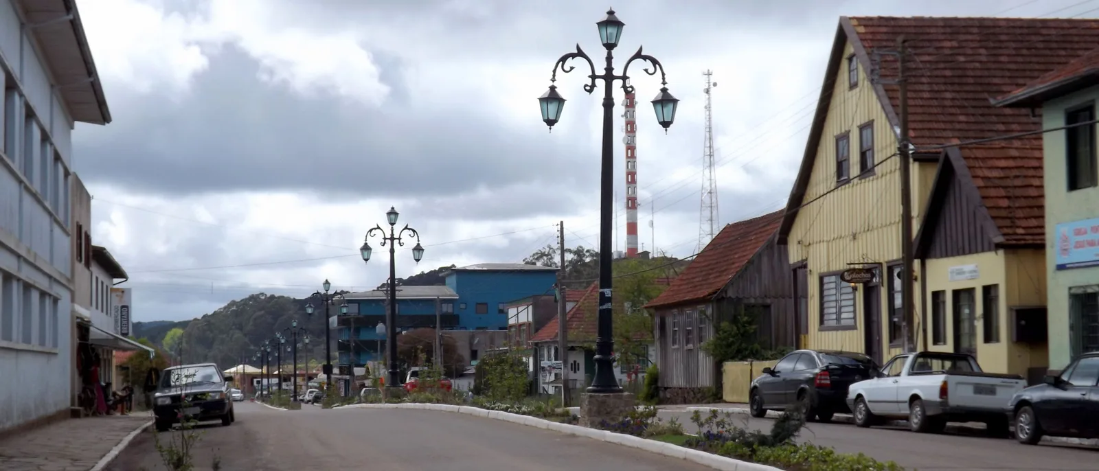
    The main street of Cambará do Sul under a gray sky, ornate street lamps down the median and old wooden houses with steep roofs on the right

    A small town of about 6,500 people on the plateau, at roughly 1,000 meters, and the base for both rim visitor areas: the Itaimbezinho gate is about 19 km away and the Fortaleza gate about 22 km. Rooms are pousadas and chalets, many of them out among the fields with a fireplace, which matters from May to September, when the nights drop to single digits Celsius. It is also the end of the road from Porto Alegre and the Serra Gaúcha.

    • Both rim gates
    • Closest to Porto Alegre
    • Cold nights
    • Chalets with fireplaces
  • Best for: The Rio do Boi, the Malacara and balloon flights

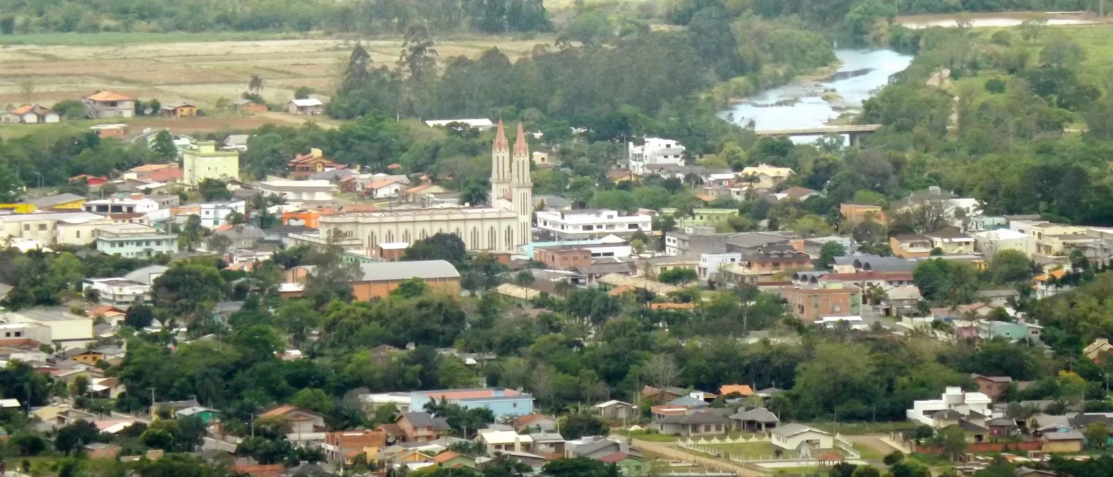
    Praia Grande seen from the escarpment above, rooftops and a church with two pointed towers among trees on the plain, a river and green fields beyond

    A town of about 8,700 people on the plain at the foot of the cliffs, which calls itself the canyon capital of Santa Catarina. The Rio do Boi trailhead is about 11 km away and the Malacara about 6, the agencies that supply the compulsory Rio do Boi guides are here, and the hot-air balloons take off at dawn to float along the face of the escarpment. In June 2025 one caught fire over the town and 8 people died; ANAC now requires certified balloons, pilots and companies for flights of 15 or more people and publishes the list of certified operators, so check yours is on it. The town sits far lower than Cambará, it is warmer, and it is closer to Florianópolis. With the Serra do Faxinal open only an hour at a time, and never on Sundays, the rim gates are a long drive away.

    • Rio do Boi trailhead
    • Guides and agencies
    • Balloon flights
    • Closest to Florianópolis

A working plan

Five days, top to bottom.

Fly into Porto Alegre, spend two days on the rim from Cambará do Sul, drop down the escarpment to Praia Grande for the canyon floor, and fly out of Florianópolis. Check the closed days first: if day 2 falls on a Monday, swap days 2 and 3, since the Itaimbezinho is shut on Mondays and the Fortaleza on Tuesdays. Then check day 3, the drive down: the Serra do Faxinal has a late-afternoon window only on weekdays, so if day 3 falls on a Saturday or Sunday, plan on the long way round. Book the Rio do Boi ticket and guide before anything else, and keep a spare rim day if you can, because a day lost to fog is normal here.

  1. 01
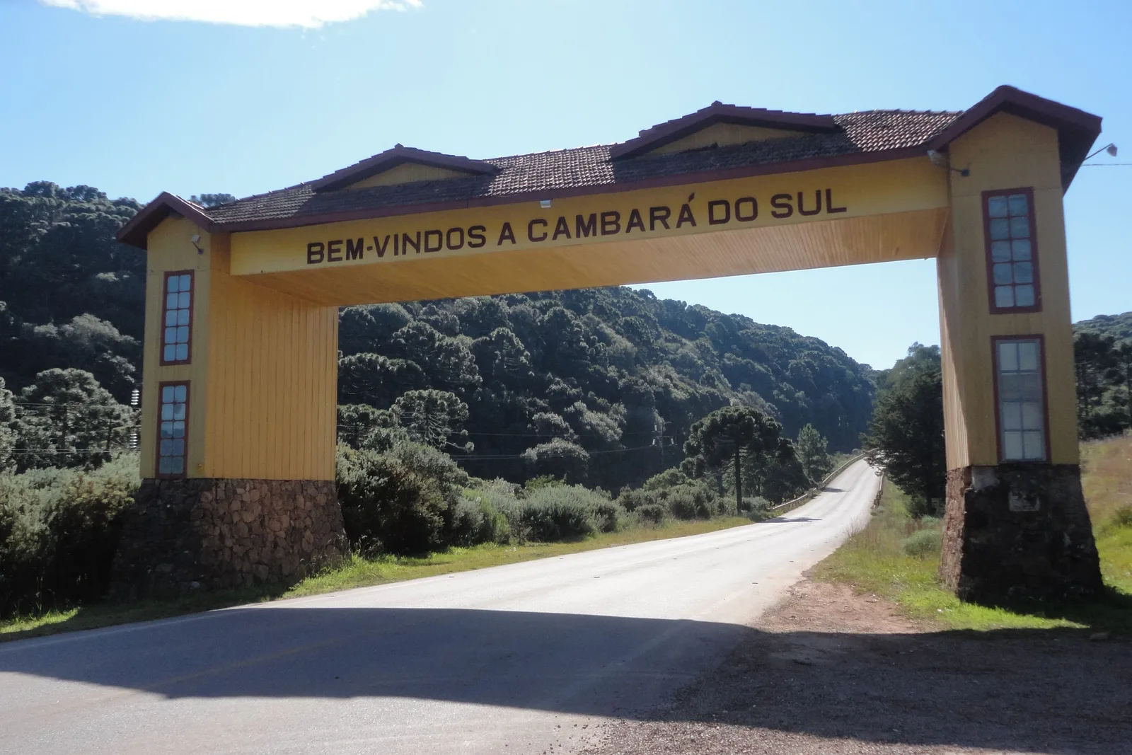
    A yellow wooden gateway arch reading “Bem-vindos a Cambará do Sul” over an empty road, araucaria-covered hills behind

    Porto Alegre → Cambará do Sul

    Up onto the plateau

    Land in Porto Alegre in the morning and drive about three hours northeast, climbing into grassland and araucaria. Check in, buy the park ticket online, and get an early night.

  2. 02
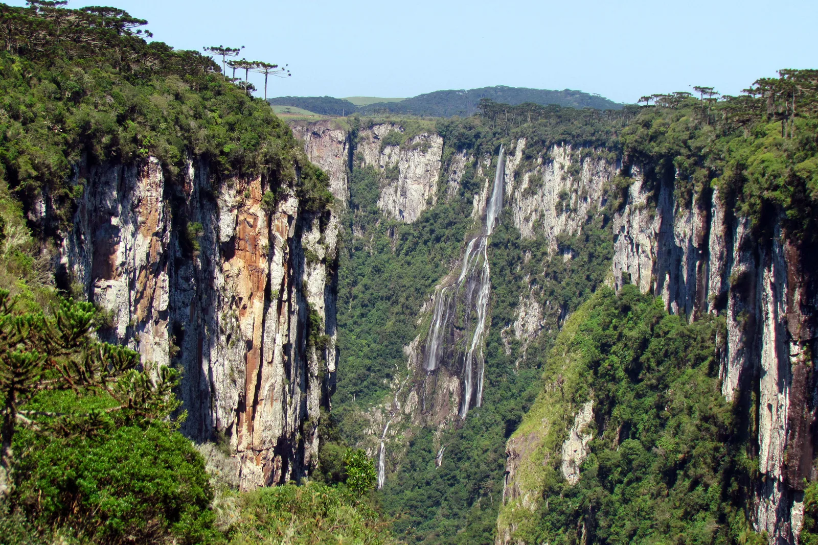
    A long thin waterfall falling down the far wall of the Itaimbezinho, sheer rock walls on either side and the plateau on the skyline

    Cambará do Sul

    The Itaimbezinho

    The Vértice trail to the twin waterfalls, then the Cotovelo along the rim, in before the 3:00pm cut-off. If cloud fills the canyon, wait it out near the visitor center.

  3. 03
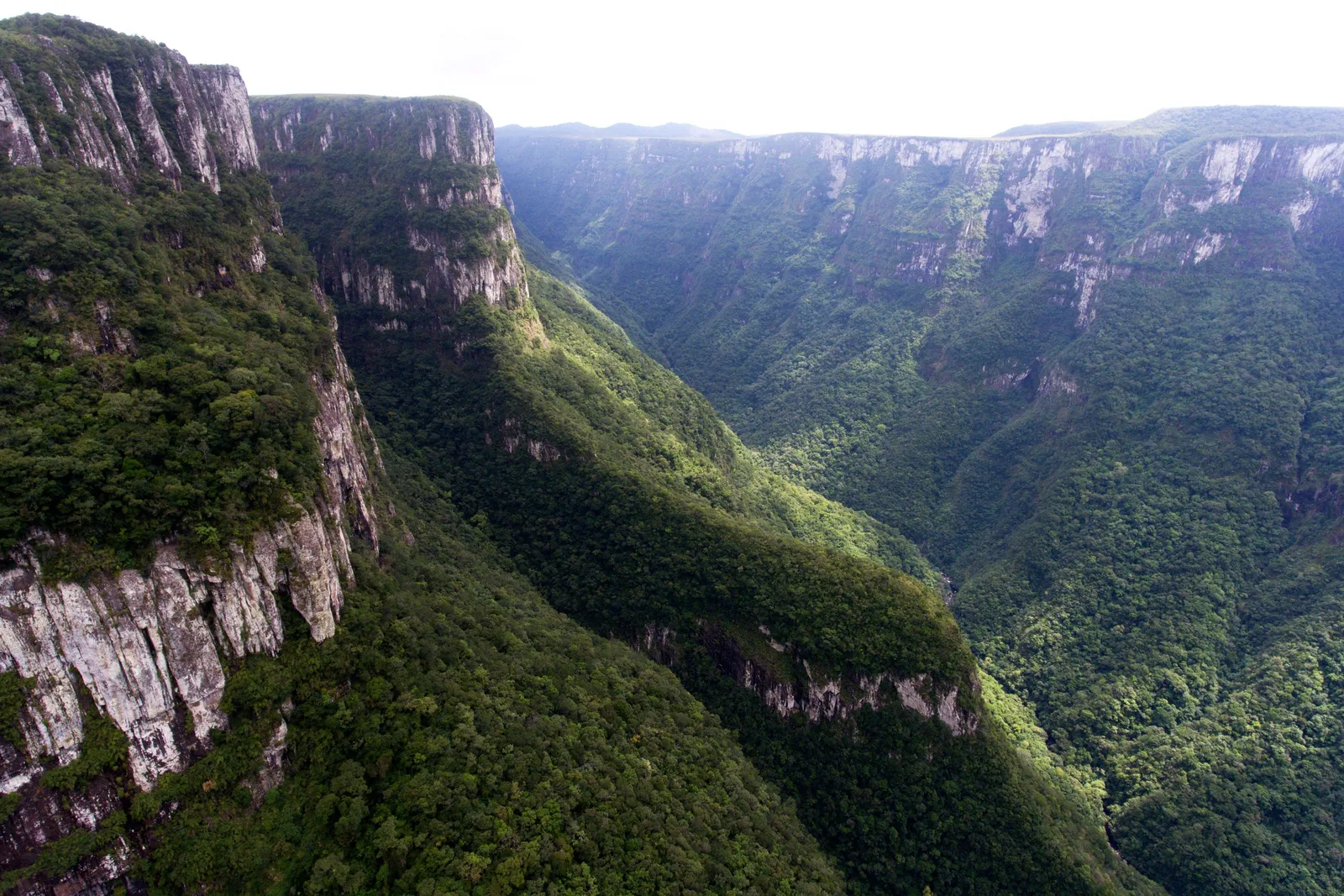
    Looking along the Fortaleza canyon from the air, a sheer cliff on the left and forested slopes dropping into a long valley

    Cambará do Sul → Praia Grande

    The Fortaleza, then down the wall

    The main viewpoint and the Pedra do Segredo in the morning, then down to Praia Grande. On a weekday, make the Serra do Faxinal’s 4:30pm to 5:30pm window and it is about an hour. On a Saturday the last window is 11:00am to noon, too early after a Fortaleza morning, and on Sunday the road is closed, so take the Rota do Sol through Itati, about 3 hours 10 minutes from the Fortaleza gate.

  4. 04
    A rocky river running between steep forested canyon walls on the Rio do Boi trail

    Praia Grande · Rio do Boi

    Into the canyon

    The Rio do Boi with your guide: an early start, through the forest and up the riverbed into the Itaimbezinho, back by late afternoon, soaked to the knees.

  5. 05
    A stony river in the Malacara valley under a blue sky, forested slopes and pointed ridges rising behind

    Praia Grande → Florianópolis

    The Malacara, and out

    A morning walk up the Malacara to the Poço da Figueira, or a dawn balloon flight with an operator on ANAC’s certified list (a balloon fire over Praia Grande killed 8 people in June 2025), then about four hours up the coast to Florianópolis for the flight home.

This is a starting shape, not a fixed departure — we rearrange it around your dates. Have it built for you

Timing

Plan around the cloud.

Rain falls here in every month, so the thing to plan around is cloud on the rim. The plateau weather stations sit in cloud most often in May, June, September and October, and the clearest days come in the cold of July and August. April is the mild compromise: one of the driest months, with days around 21°C. Whatever the month, nobody can forecast when the canyons will fill with fog, so give the rim more than one day if you can.

How warm, how wet and how good each month is at the Aparados da Serra canyons. Choose a month for its average air temperature at Cambará do Sul, rainfall and what the cloud tends to do then.

January

Trade-offs
Air
15–25°C 59–77°F
UV
9 Very high
Rain
13 days 166 mm / 6.5 in

Warm and wet, rain on about 13 days, and the fewest clear days of the year, though the canyons are seldom fogged in at midday. Flash-flood season on the Rio do Boi.

February

Trade-offs
Air
15–25°C 59–77°F
UV
9 Very high
Rain
13 days 192 mm / 7.6 in

The fewest foggy days of the year at the Cambará station, but one of the wettest months by volume.

March

Good
Air
14–24°C 57–75°F
UV
8 Very high
Rain
11 days 168 mm / 6.6 in

Still warm, drier than January at Bom Jesus, and clear on most middays.

April

Best
Air
12–21°C 54–70°F
UV
5 Moderate
Rain
9 days 114 mm / 4.5 in

The mild best: one of the driest months, comfortable days, mornings that start in cloud and clear by lunch.

May

Trade-offs
Air
9–18°C 48–64°F
UV
4 Moderate
Rain
9 days 141 mm / 5.6 in

Autumn turns foggy: with June, the most days spent mostly in cloud at the Cambará station. Pinhão season.

June

Trade-offs
Air
8–17°C 46–63°F
UV
3 Moderate
Rain
9 days 109 mm / 4.3 in

The cloudiest month at the Cambará station and the least sunshine at Bom Jesus. Frost on about two mornings.

July

Good
Air
7–17°C 45–63°F
UV
3 Moderate
Rain
10 days 154 mm / 6.1 in

The coldest month, with frost on about two mornings, and among the clearest at the Cambará station.

August

Best
Air
7–18°C 45–64°F
UV
4 Moderate
Rain
9 days 147 mm / 5.8 in

The clear best: the most clear days with July, the least cloud on NASA’s record, the driest air. Cold.

September

Trade-offs
Air
10–20°C 50–68°F
UV
5 Moderate
Rain
11 days 192 mm / 7.6 in

Wet and grayer. A late cold snap can still bring frost, and in 2026 light snow on the plateau.

October

Trade-offs
Air
11–21°C 52–70°F
UV
7 High
Rain
12 days 159 mm / 6.3 in

Spring, but the most cloud of the year on NASA’s satellite record and fewer clear days.

November

Good
Air
12–22°C 54–72°F
UV
8 Very high
Rain
11 days 155 mm / 6.1 in

Warming up, with clear days back up and one of the sunniest months at Bom Jesus.

December

Good
Air
14–25°C 57–77°F
UV
9 Very high
Rain
12 days 125 mm / 4.9 in

Warm and one of the drier months at Cambará. The sunniest month at Bom Jesus.

  • Best The one or two peak months
  • Good A real recommendation
  • Trade-offs Workable, with a catch
See Aparados da Serra on the Brazil calendar

UV is the monthly average of the daily peak, 2022 to 2025, calculated from Copernicus Atmosphere Monitoring Service data. Weather data by Open-Meteo.com, CC BY 4.0.

For clear views

August

The most clear days of the year at the plateau stations with July, the least cloud on NASA’s satellite record and the driest air. It is cold: 7°C nights, 18°C days and frost on about two mornings.

For mild walking

April

One of the driest months, 114 mm at Cambará, with rain on about nine days and comfortable 12–21°C days. Mornings often start in cloud and clear by midday.

For the Rio do Boi

Summer storms

ICMBio warns of flash floods on the canyon floor especially in summer and in the late afternoon, and closes the trail when rain is falling or forecast. Book a date with a spare day behind it.

About the rain

No weather station stands on a canyon rim. The temperatures above are INMET’s automatic station at Cambará do Sul, at about 1,000 meters and 14 km from the Itaimbezinho, for 2017 to 2025. Rainfall is INMET’s 1981–2010 normal for the same town, about 1,820 mm a year with no dry season, and the rain days come from Bom Jesus, 51 km away, the nearest station with a 1991–2020 count. Praia Grande, far below on the plain, is warmer than all of this; no station measures it.

Time of day matters more than the month. In INMET’s hourly records the Cambará station is in cloud at 7:00am on between a third and two-thirds of mornings depending on the month, and at 1:00pm on fewer than one day in six in every month of the year, with cloud building again from late afternoon. ICMBio adds that on hot days the canyons are likelier to be clear early in the morning. The practical pattern: be at the rim from mid-morning to early afternoon (in summer, try early morning first), and if a canyon is full of cloud when you arrive, wait an hour before you give up on it.

The dates worth planning around

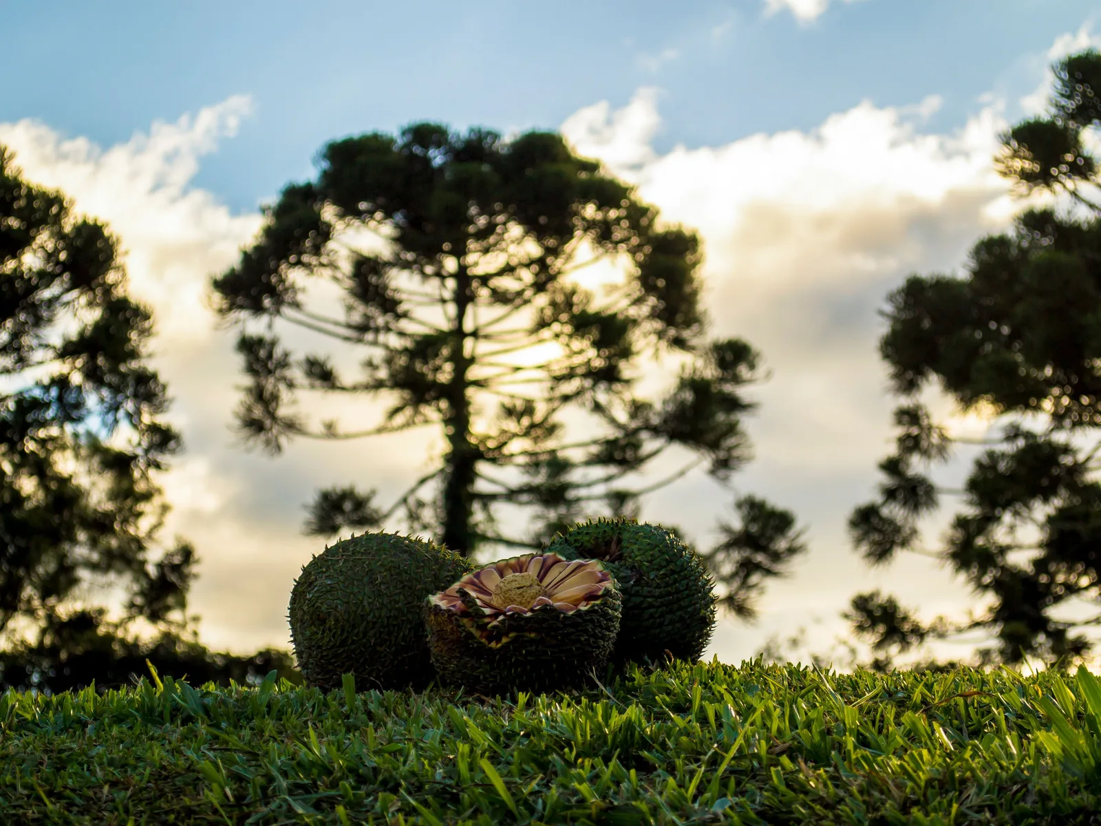
Two round araucaria cones and a broken one lying on short grass, the silhouette of an araucaria tree against a pale sky behind

Pinhão season

April to July

The araucaria, the tall pine that stands over the grassland and along the rim trails, sheds its big cones in autumn and early winter, and ICMBio describes a “rain of pinhões” on the Cotovelo trail between April and July. It is the same season in which the plateau weather turns foggiest.

The Cachoeira das Andorinhas dropping in several white strands over a dark rock lip into the Itaimbezinho, dense green forest around it

The swallows at the waterfalls

Spring and summer, roughly September to March

The Cachoeira das Andorinhas, the Swallows’ Waterfall at the head of the Itaimbezinho, is named for the migratory swallows and swifts that, in ICMBio’s words, come to the Aparados da Serra in spring and summer and gather at the canyon’s waterfalls. Look for them wheeling in front of the falls from the Vértice trail viewpoints.

Good to know

Before you come

Will fog ruin my visit? +

It might, and nobody can tell you in advance. ICMBio says the formation of fog cannot be predicted, Urbia keeps the rim trails open in fog, and its ticket policy says plainly that a day without a view is not grounds for a refund. What you can do is play the odds. Come in the clearer months, April and August being the best of them; be at the rim from mid-morning to early afternoon, when the plateau weather station is least often in cloud; and give the rim two or three days, which the three-entry ticket already allows. If a canyon is full of cloud when you arrive, wait a while before you give up on it; the cloud spilling over the edge is a sight in itself.

Do I need a guide? +

Only on the Rio do Boi, and there it is the law. ICMBio makes it the one trail in the two parks where you must walk with a guide it has credentialed, because of flash floods, rockfall and snakes; walkers must be 12 or older and wear gaiters. The rim trails at the Itaimbezinho and the Fortaleza need no guide, and the Malacara walk does not require one either, although the geopark recommends going with a registered guide. Guided sunrise walks at the Fortaleza are also guide-only. Praia Grande’s agencies arrange Rio do Boi guides and the dated ticket together.

Should I stay in Cambará do Sul or Praia Grande? +

Both, if you have four nights or more: two or three in Cambará do Sul for the rim, one or two in Praia Grande for the canyon floor. With only two or three nights, stay in Cambará: both rim gates are 20 to 40 minutes away, and the rim trails need no guide. Praia Grande is the better single base only if the Rio do Boi is your priority, and while the Serra do Faxinal opens only an hour at a time, and never on Sundays, the rim gates are a long drive from it.

Can I do it without a car? +

Only with a tour. Nothing scheduled runs from either town to the park gates, which are 11 to 23 km out, and the buses to the towns themselves are sparse: Citral runs from Porto Alegre to Cambará on only a couple of days a week, and Florianópolis to Praia Grande means a change at Araranguá. Without a car, book a day tour from Gramado, Canela or Caxias do Sul, or base yourself in one town and let your pousada or an agency arrange transfers. With a car, the trip is simple: Porto Alegre airport to Cambará is about three hours.

Can I combine it with Gramado or Florianópolis? +

Easily. Cambará do Sul is about 105 km from Canela and 112 km from Gramado, under two hours on the ERS-020 and ERS-235, so the canyons make a natural two- or three-night extension of a Serra Gaúcha trip. Florianópolis is the other natural pairing: about four hours from Praia Grande by the BR-101, with direct flights to Lisbon, Panama City, Santiago, Buenos Aires and a few other South American cities. The five-day plan above runs from Porto Alegre to Florianópolis for exactly that reason.

Keep going

Where the canyons fit in a bigger trip.

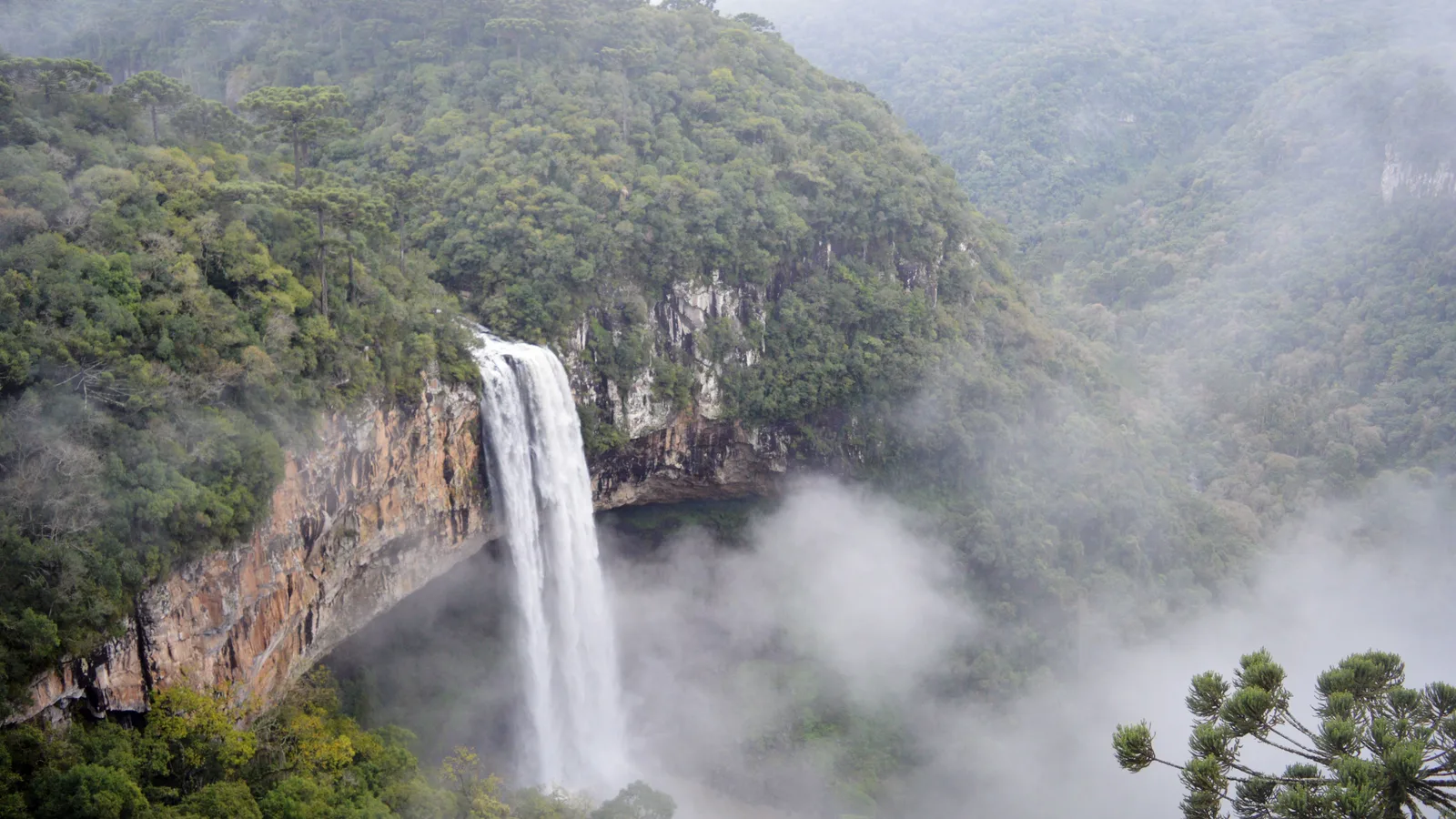
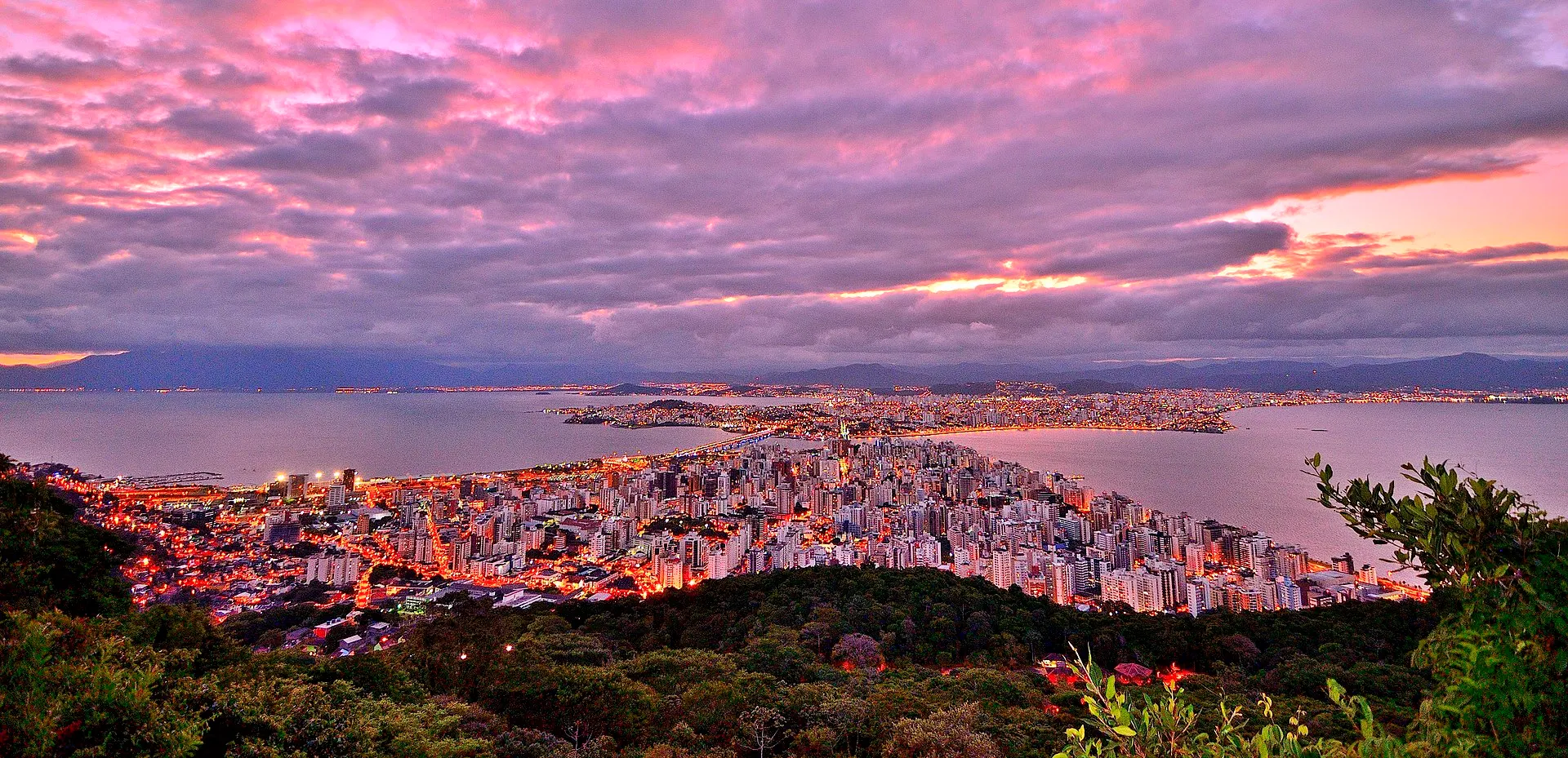
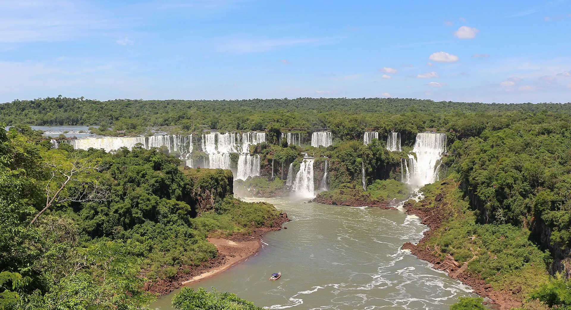
Florianópolis is the airport at the bottom of the hill and the beaches to finish on, four hours from Praia Grande. Foz do Iguaçu is the South’s other great national park. And Gramado and Canela, on the same plateau to the southwest, are the towns to pair with the canyons, under two hours away, for the Caracol waterfall and the fondue.

Free · 29 pages

Free guide

Beginner's Guide to Brazil

A free 29-page guide to everything a first-time visitor should know before landing: visas, safety, money, getting around, where to go, and what to eat.

We'll email you a link to confirm your address. Click it and the guide opens right away.

See what's inside
A sea of cloud filling the valleys below the escarpment, dark forested peaks breaking through it and green slopes in the foreground

Skip the planning

Get the roads and the closed days right, and the rest is the view.

Tell us your dates and whether you want the rim, the canyon floor or both. We will shape a private trip around exactly that: the right nights on top and below, the Rio do Boi ticket and guide booked for the right day, the closed days and the road hours worked out, and a spare day for the fog.

  • One person, living in Brazil, replying to you directly
  • A reply within one business day, no call center, no bots
  • No cost to plan, and no obligation to book
  • Built around your dates, not a fixed departure